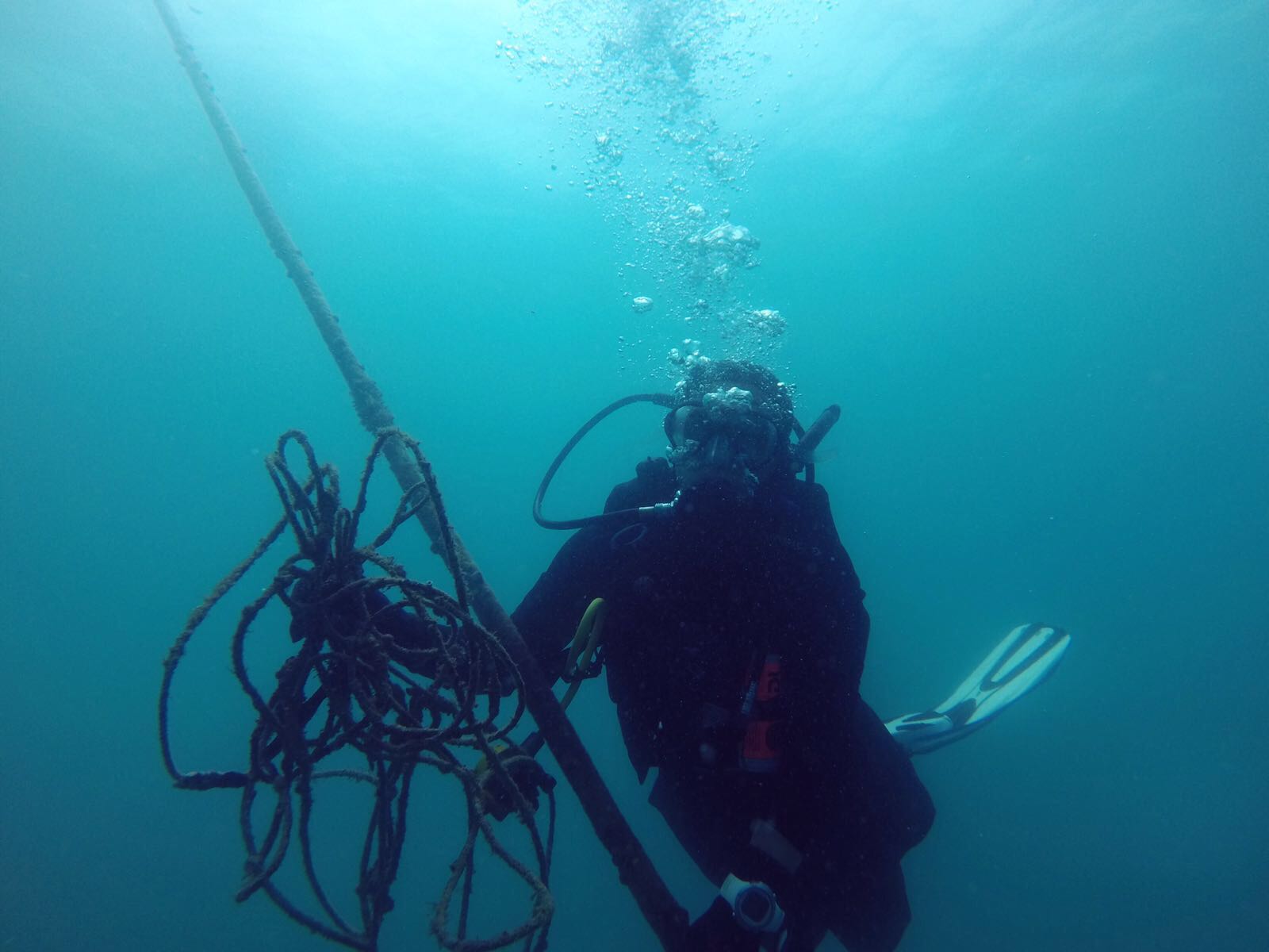
The Next Wave Submission 1500263502
Anonymous
Disclaimer: The views, actions and activities posted by participants on My Ocean are their own and do not necessarily reflect those of PADI AWARE Foundation.
-
My Ocean Community
The Next Wave Submission 1500263435
Anonymous
Disclaimer: The views, actions and activities posted by participants on My Ocean are their own and do not necessarily reflect those of PADI AWARE Foundation.
-
My Ocean Community
The Next Wave Submission 1500259973
Eric Choo
Disclaimer: The views, actions and activities posted by participants on My Ocean are their own and do not necessarily reflect those of PADI AWARE Foundation.
-
My Ocean Community
ADS304 - Renggis
2.809785, 104.134624
Dive Location
If you know your survey site coordinates, enter them manually in decimal degrees using WGS84 Map Datum. Use the minus sign for latitudes south of the equator and longitudes west of the Prime Meridian to 180 degrees.
If you do not know your survey site coordinates, click the “Map Location” tab to use the map to zoom into your survey site and drop the pin on the map to fall within your survey dive site in the water (not on land or the beach). Ensure you zoom in as much as possible to ensure data accuracy.
Use the vertical tabs below to record any entangled animals you found of each type.
ADS221 - Pointe Des Cascades
45.33125, -73.968028
Many thanks to Nicolas Nadon, Annie Courchesne, Yannick, Steve Ricard, Mylene Bouthillier, Emmanuel Lafrance, Max Michelin, and Stephane Francoeur


Dive Location
If you know your survey site coordinates, enter them manually in decimal degrees using WGS84 Map Datum. Use the minus sign for latitudes south of the equator and longitudes west of the Prime Meridian to 180 degrees.
If you do not know your survey site coordinates, click the “Map Location” tab to use the map to zoom into your survey site and drop the pin on the map to fall within your survey dive site in the water (not on land or the beach). Ensure you zoom in as much as possible to ensure data accuracy.
Use the vertical tabs below to record any entangled animals you found of each type.
Dalal mohammed
28, 48

Dive Location
If you know your survey site coordinates, enter them manually in decimal degrees using WGS84 Map Datum. Use the minus sign for latitudes south of the equator and longitudes west of the Prime Meridian to 180 degrees.
If you do not know your survey site coordinates, click the “Map Location” tab to use the map to zoom into your survey site and drop the pin on the map to fall within your survey dive site in the water (not on land or the beach). Ensure you zoom in as much as possible to ensure data accuracy.
Use the vertical tabs below to record any entangled animals you found of each type.
ADS252 - 1st Limanaki of vouliagmeni
37.802163, 23.786343
Dive Location
If you know your survey site coordinates, enter them manually in decimal degrees using WGS84 Map Datum. Use the minus sign for latitudes south of the equator and longitudes west of the Prime Meridian to 180 degrees.
If you do not know your survey site coordinates, click the “Map Location” tab to use the map to zoom into your survey site and drop the pin on the map to fall within your survey dive site in the water (not on land or the beach). Ensure you zoom in as much as possible to ensure data accuracy.
Use the vertical tabs below to record any entangled animals you found of each type.
The Next Wave Submission 1500180617
Anonymous
Disclaimer: The views, actions and activities posted by participants on My Ocean are their own and do not necessarily reflect those of PADI AWARE Foundation.
-
My Ocean Community
The Next Wave Submission 1500159378
Anonymous
Disclaimer: The views, actions and activities posted by participants on My Ocean are their own and do not necessarily reflect those of PADI AWARE Foundation.
-
My Ocean Community


