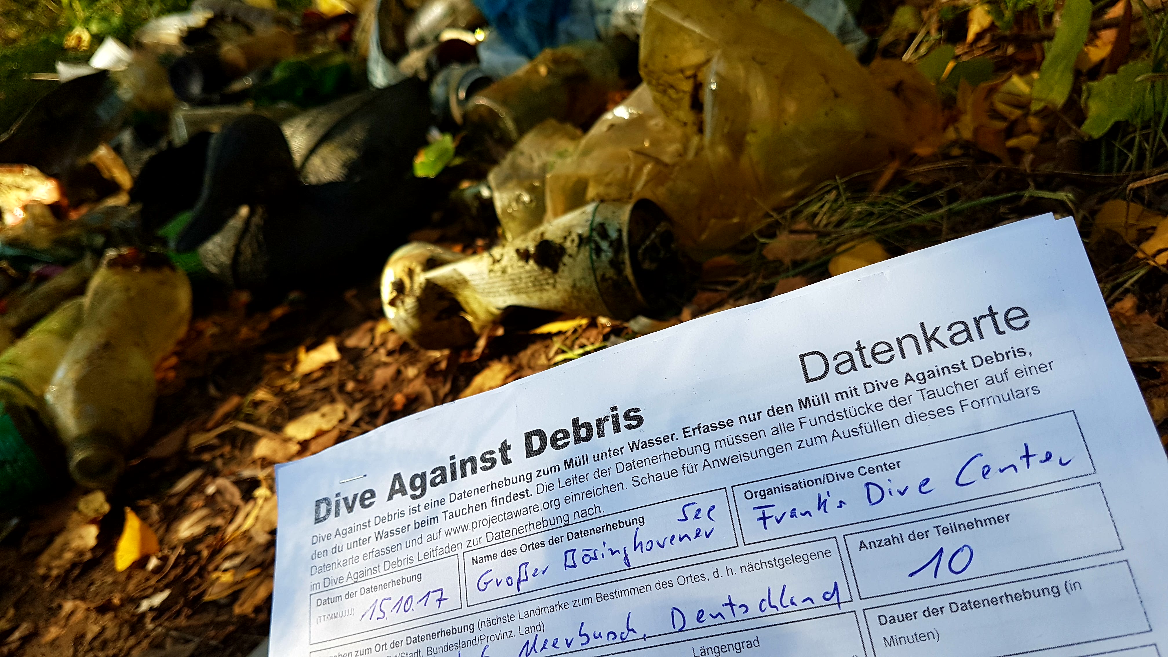
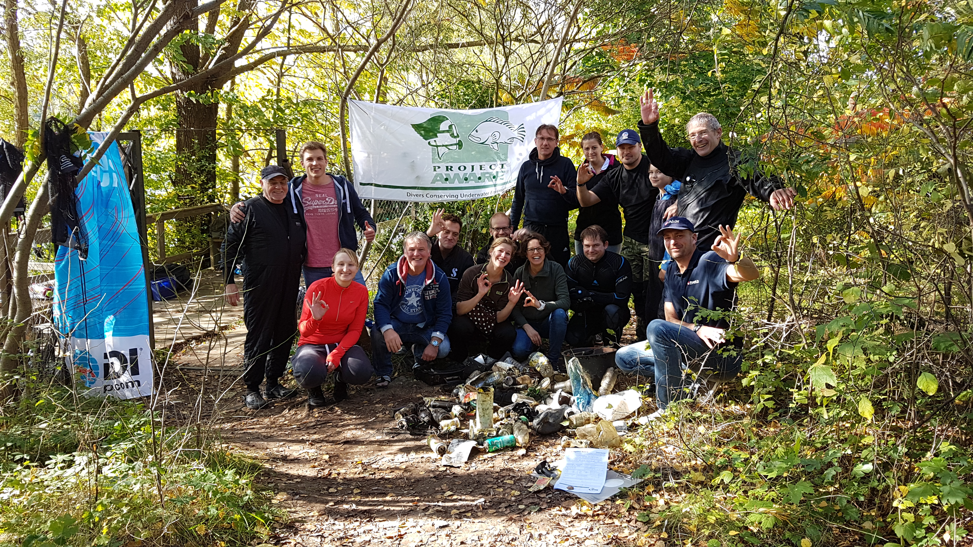
Oakville Dive For Debris & Shore clean up
8
silt
10
8
4
43.439508961043, -79.666280171368
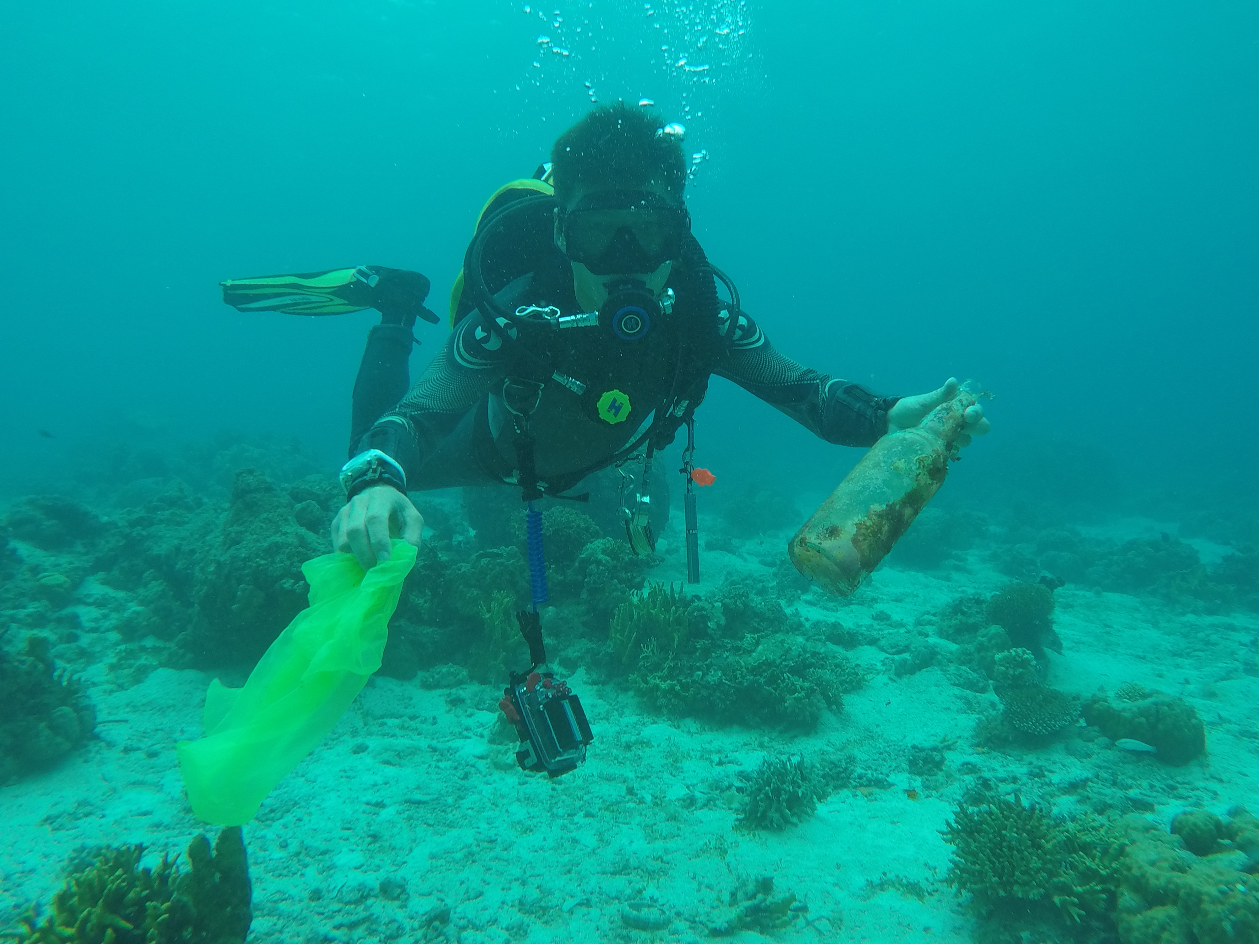
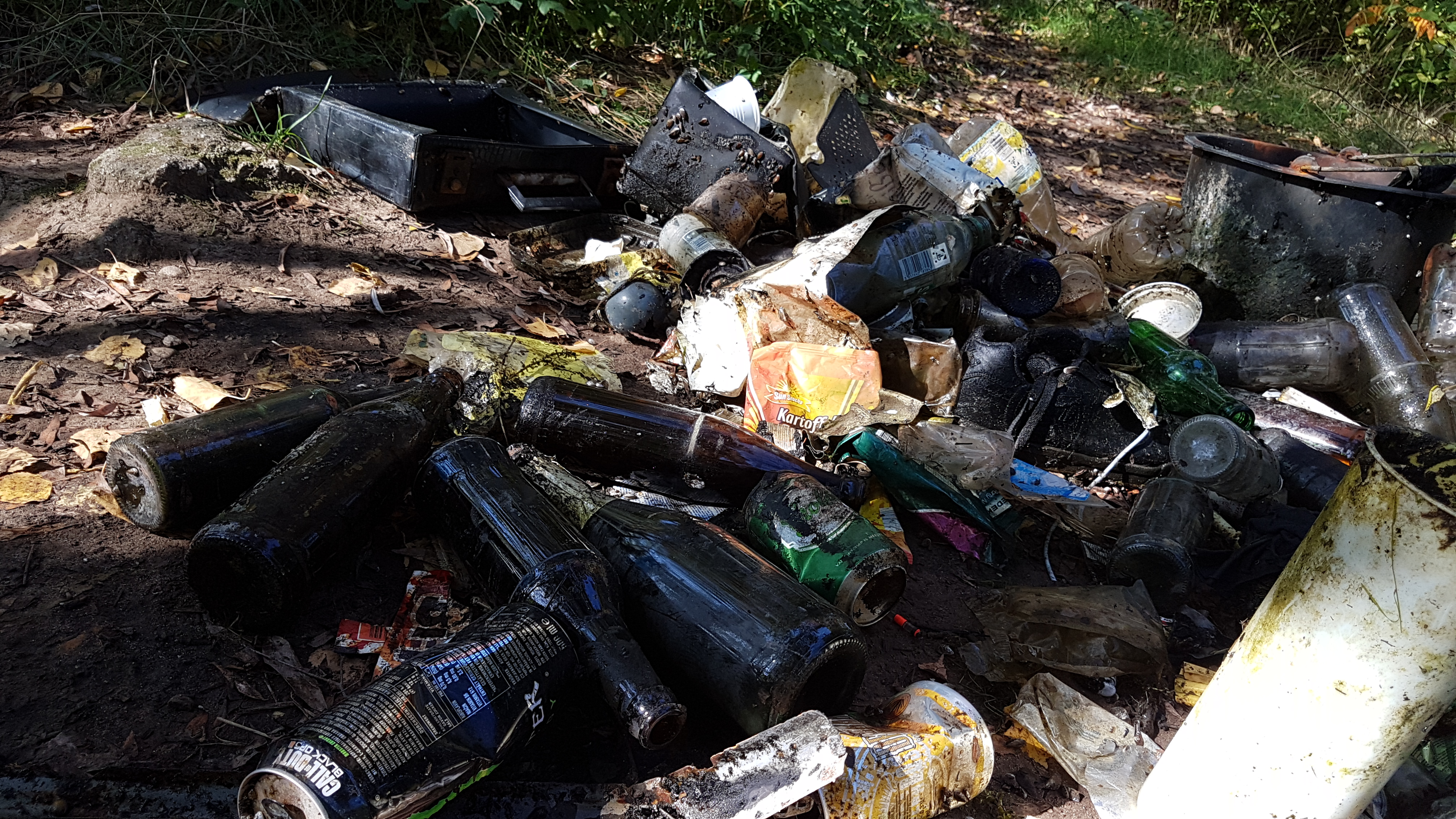
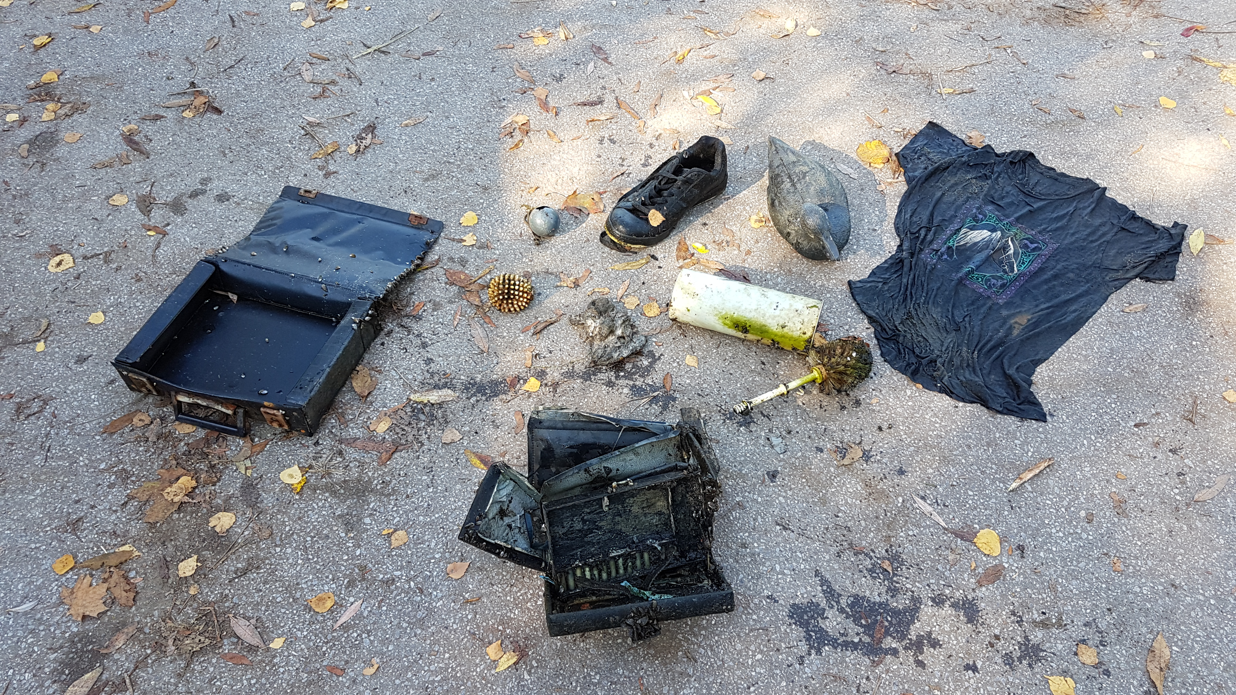
Tourists that walk tjhe shore, are careless , being a boat Harbour lost of boaters are careless with their waste.
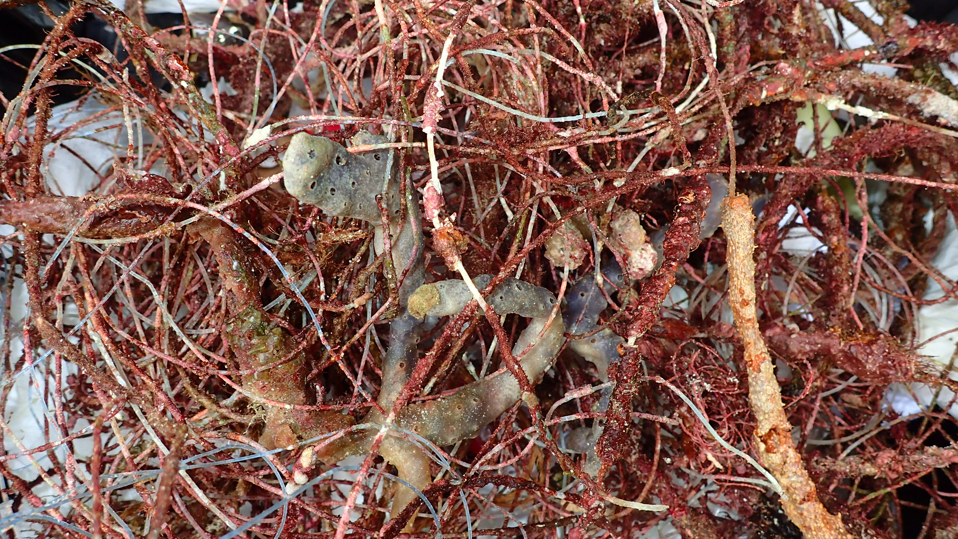
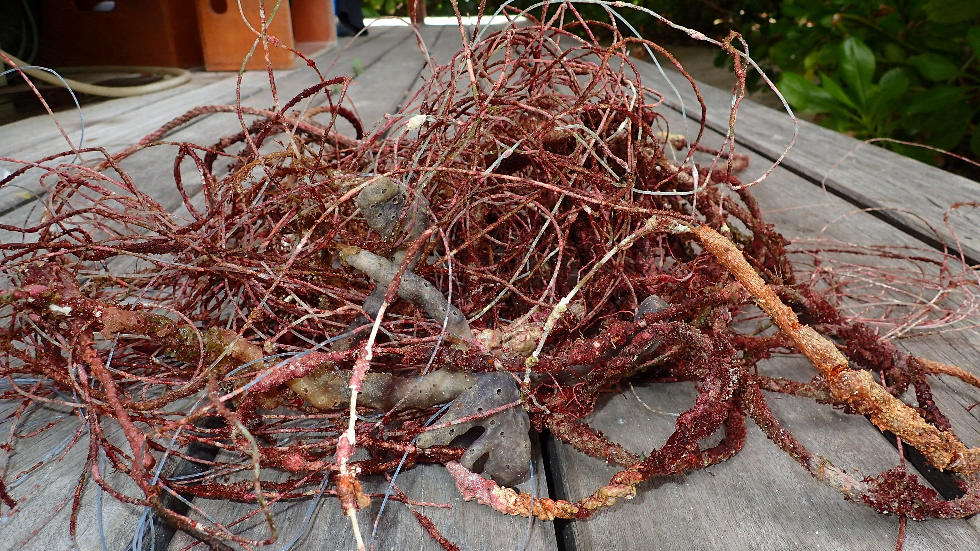
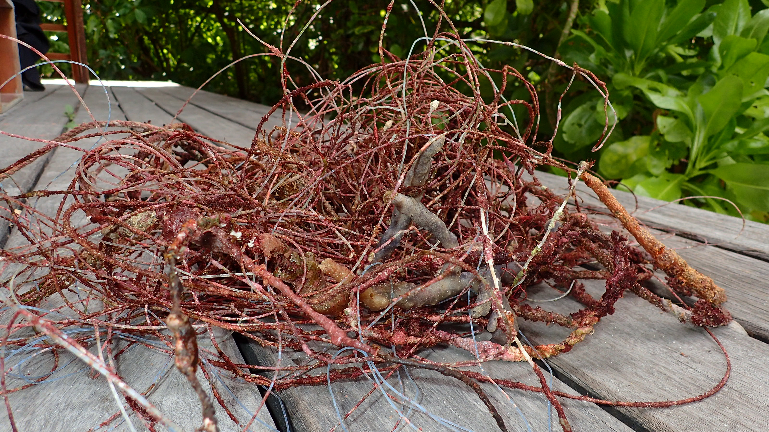
Alot of people fish fro the shores, which is wahy we found lots of fishing lures embedded in the rocks.
Alot of people fish fro the shores, which is wahy we found lots of fishing lures embedded in the rocks.
I found an Ipad 2 in the water
Sunny water was very Calm
Oakville Divers Scuba Shop
Steve Camacho
14
3
1
30
10
1
100.00
120
20.00
10.00
estimated
4000.00
On
kilograms
I have debris data to report
22
6
Calm (glassy to rippled) for waves 0 – 0.1 meter high
6
ft2


3
feet
seagrass
2
3
2
1
5
3
13
State\Province
Ontario
City
Oakville
Map Help
Dive Location
If you know your survey site coordinates, enter them manually in decimal degrees using WGS84 Map Datum. Use the minus sign for latitudes south of the equator and longitudes west of the Prime Meridian to 180 degrees.
If you do not know your survey site coordinates, click the “Map Location” tab to use the map to zoom into your survey site and drop the pin on the map to fall within your survey dive site in the water (not on land or the beach). Ensure you zoom in as much as possible to ensure data accuracy.
Entangled Help