ADS72 - Bajo Tranquilo
0
0
0
0
12.578768, -81.70404
0
0
0
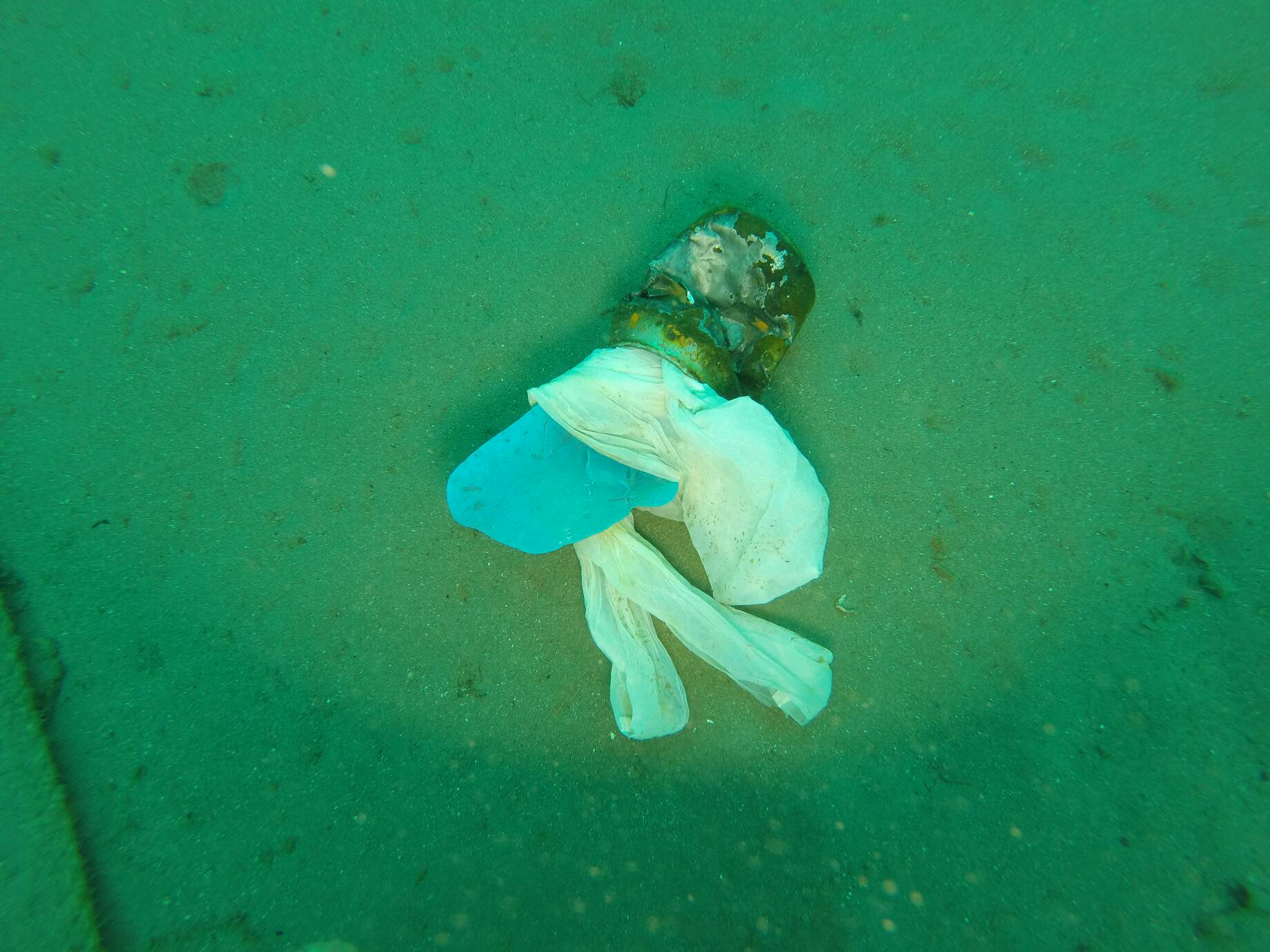
sand
0
0
0
0
0
No additional info.
N/A
No comments
Rope
Calma
Help 2 Oceans Fundation
Jorge Dos Océanos
0
0
0
0
0
0
0
0
0
0
0
0
0
0
0
0
0
0
0
34
0
0
0
0
0
0
0
0
0
0
0
0
0
0
0
0
232.00
62
42.00
40.00
0
estimated
0
0
0
0
6000.00
0
16
0
0
0
Education
Control
Awarenes
0
On
kilograms
0
I have debris data to report
0
0
0
Calm (glassy to rippled) for waves 0 – 0.1 meter high
0
0
0
Rope
Released Unharmed
Red Eyes
Crabs
Released Unharmed
12
10
Rope
0
1
0
0
m2
0
0
feet
coral reef
0
0
0
0
0
0
0
0
0
60
50
0
0
0
0
0
0
0
0
0
0
0
0
0
0
0
0
0
0
City
San Andrés Isla Colombia
Map Help
Dive Location
If you know your survey site coordinates, enter them manually in decimal degrees using WGS84 Map Datum. Use the minus sign for latitudes south of the equator and longitudes west of the Prime Meridian to 180 degrees.
If you do not know your survey site coordinates, click the “Map Location” tab to use the map to zoom into your survey site and drop the pin on the map to fall within your survey dive site in the water (not on land or the beach). Ensure you zoom in as much as possible to ensure data accuracy.
Entangled Help