ADS349 - Eddy's point
34
13
1
4
2.7317, 125.413965
1
sand
8
5
Usual lifestyle on remote Indonesian island
Unfortunately, I was unable to validate the survey report using the application (android).
The application does not allow me to select the survey area, and same for the website (that's why I put 0, the link is not working).
The application does not allow me to select the survey area, and same for the website (that's why I put 0, the link is not working).
Hot and sunny, few rain showers at night
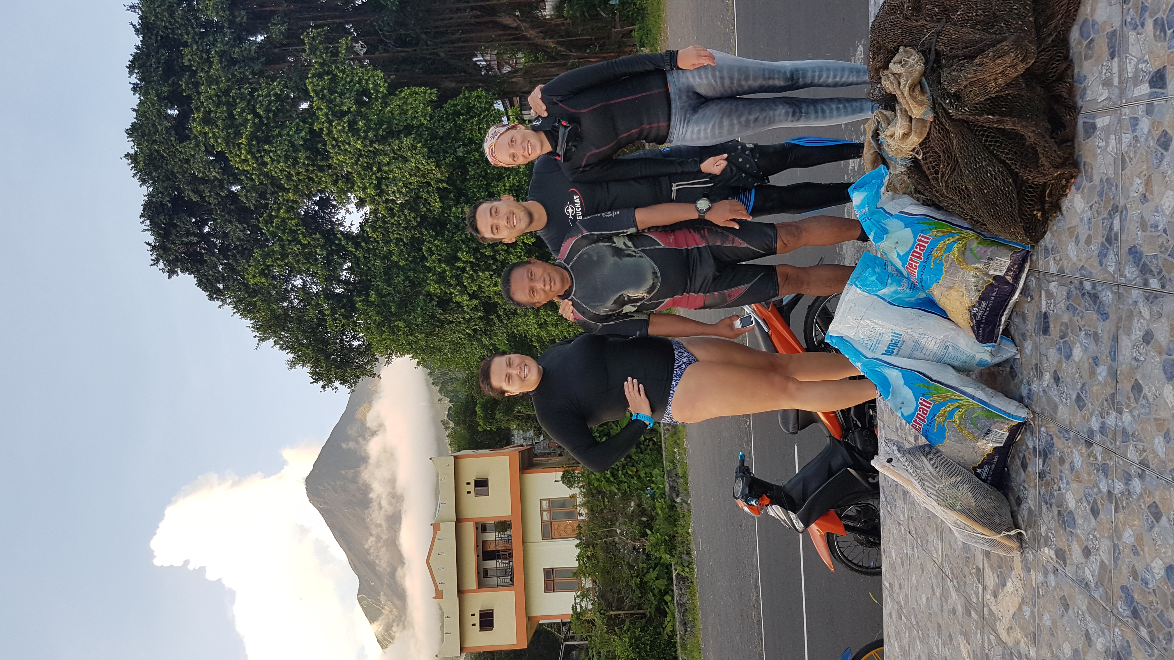
Limangu Diving Centre
Marie
1
4
14
2
2
8
4
2
14
9
2
45.00
58
20.00
5.00
1
estimated
1
0.00
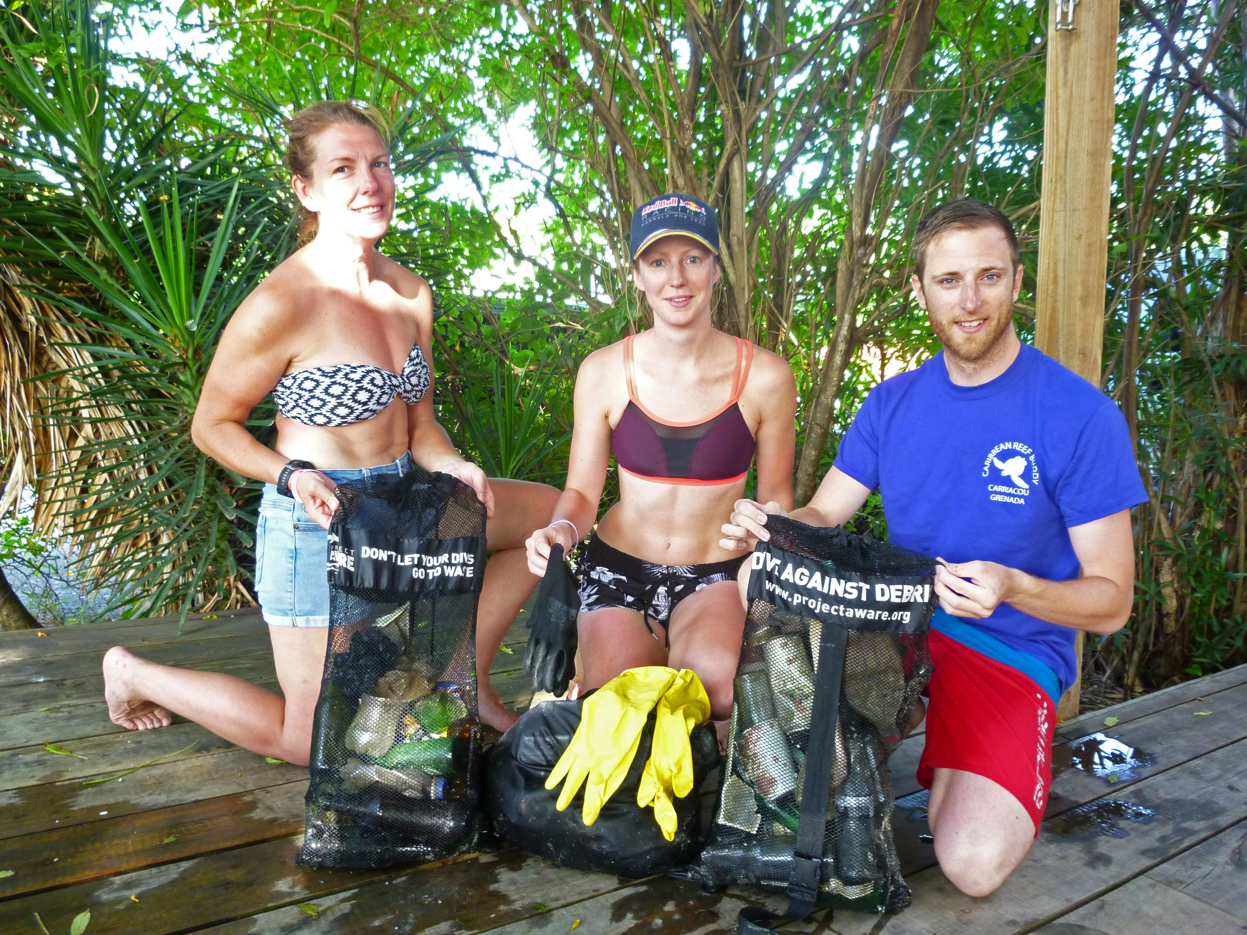
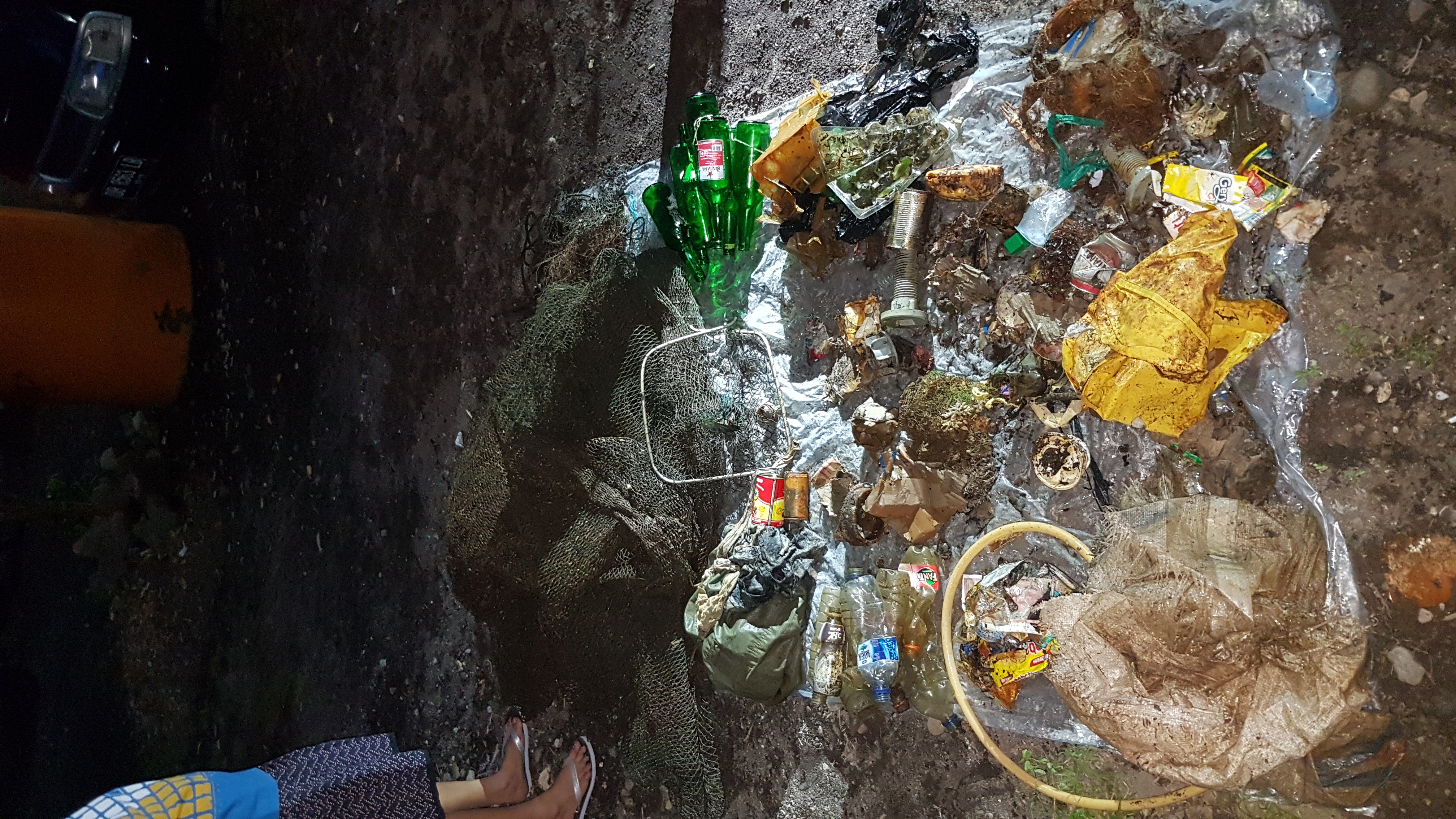
Aqua cups (plastic in general)
fishing lines
beer bottles
On
kilograms
I have debris data to report
7
1
Calm (glassy to rippled) for waves 0 – 0.1 meter high
m2
2
meters
rocky reef
7
4
1
1
State\Province
Siau, Sulawesi Ut
City
Ulu
Map Help
Dive Location
If you know your survey site coordinates, enter them manually in decimal degrees using WGS84 Map Datum. Use the minus sign for latitudes south of the equator and longitudes west of the Prime Meridian to 180 degrees.
If you do not know your survey site coordinates, click the “Map Location” tab to use the map to zoom into your survey site and drop the pin on the map to fall within your survey dive site in the water (not on land or the beach). Ensure you zoom in as much as possible to ensure data accuracy.
Entangled Help