马步岛
0
0
0
4.2492510124136, 118.63167597743
0
0
0
sand
1
5
2
2
0
4.2492684328965, 118.63589089131
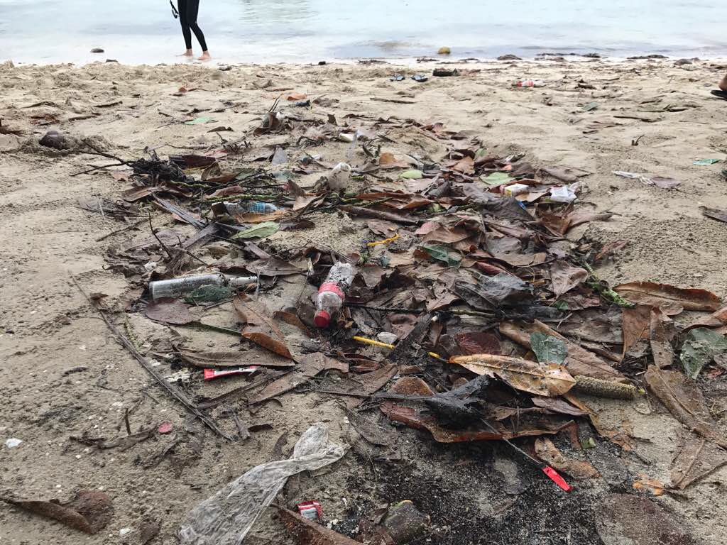
岛上没有垃圾处理,岛上也比较缺水,岛上居民生活条件很差
海龟受伤
岛上居民很多
沉船
衣物很多
气温32,水温29
0
0
0
0
0
0
0
0
0
0
0
0
0
0
0
0
0
0
0
0
SIPADAN DIVER
YUBAO ZHU
0
0
0
4
4
0
0
0
0
0
0
0
0
0
5
0
0
5
0
10
0
1
0
0
2
0
0
1
1
0
0
2
0
1
2.00
50
18.00
5.00
3
estimated
0
0
113270.00
0
5
0
0
0
衣物
啤酒瓶
轮胎
0
On
kilograms
0
I have debris data to report
4
2
0
Calm (glassy to rippled) for waves 0 – 0.1 meter high
0
0
0
海龟
3
海龟
0
0
1
0
m2
0
0
meters
other
0
0
0
0
2
1
0
0
0
2
0
0
0
0
0
0
0
0
0
1
0
0
0
2
0
1
1
0
State\Province
斗湖
City
仙本那
Map Help
Dive Location
If you know your survey site coordinates, enter them manually in decimal degrees using WGS84 Map Datum. Use the minus sign for latitudes south of the equator and longitudes west of the Prime Meridian to 180 degrees.
If you do not know your survey site coordinates, click the “Map Location” tab to use the map to zoom into your survey site and drop the pin on the map to fall within your survey dive site in the water (not on land or the beach). Ensure you zoom in as much as possible to ensure data accuracy.
Entangled Help