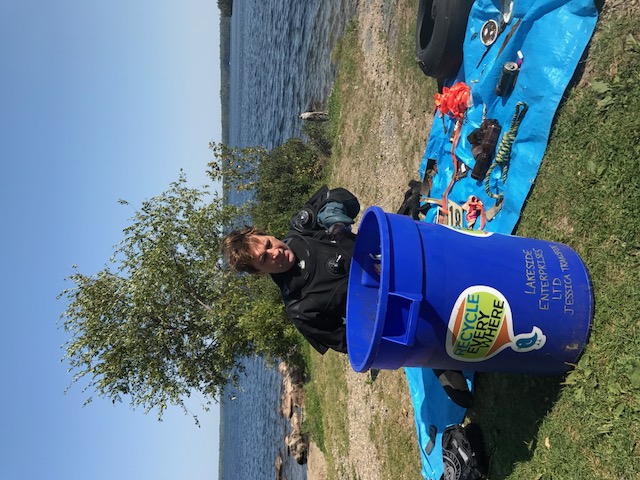
Chung Au Beach
sand
 Taiwan
22.351489884234, 120.38770071231
Weather: Sunny
Water Temp: 29'C
Current: Strong
Visibility: 10M
Water Temp: 29'C
Current: Strong
Visibility: 10M
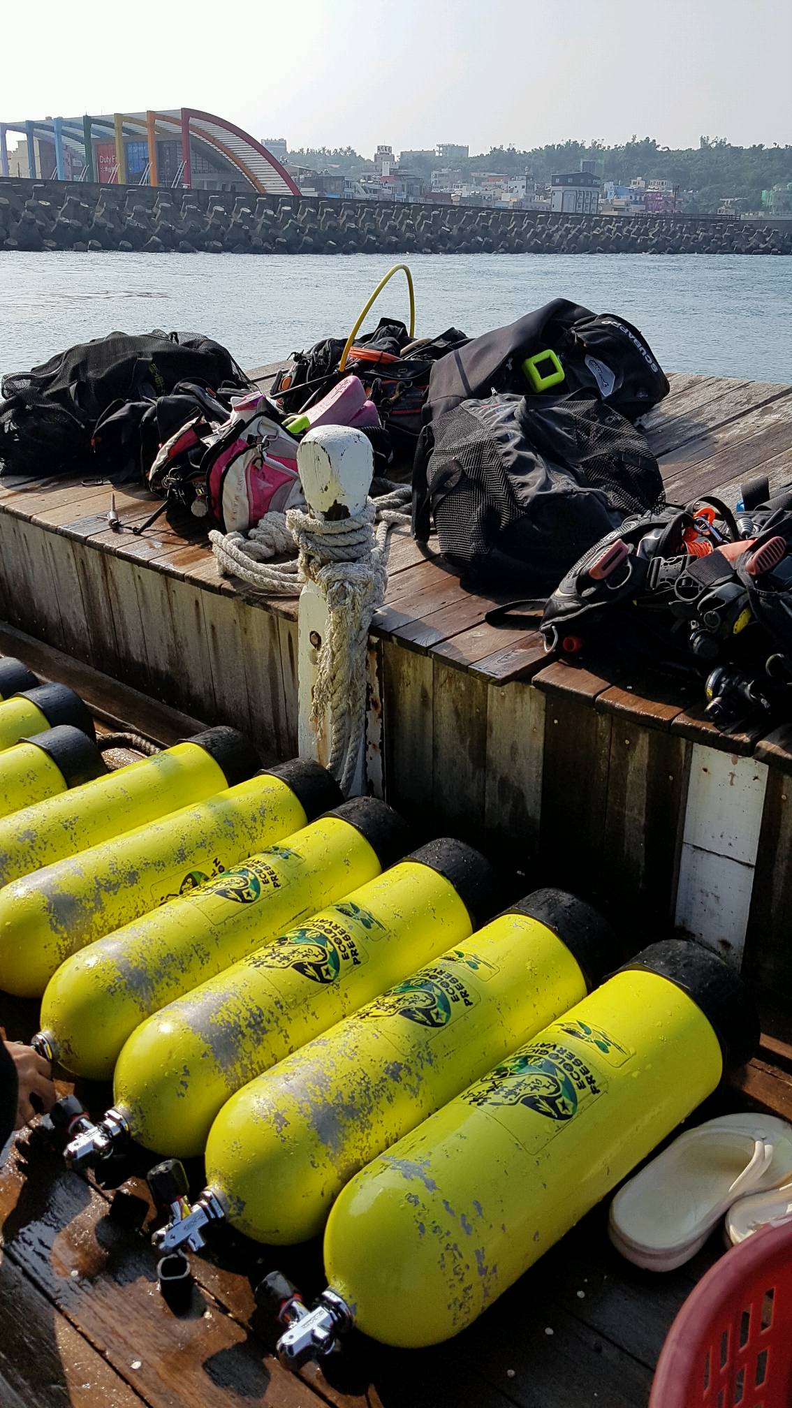
Diving Bee marine house
Kris
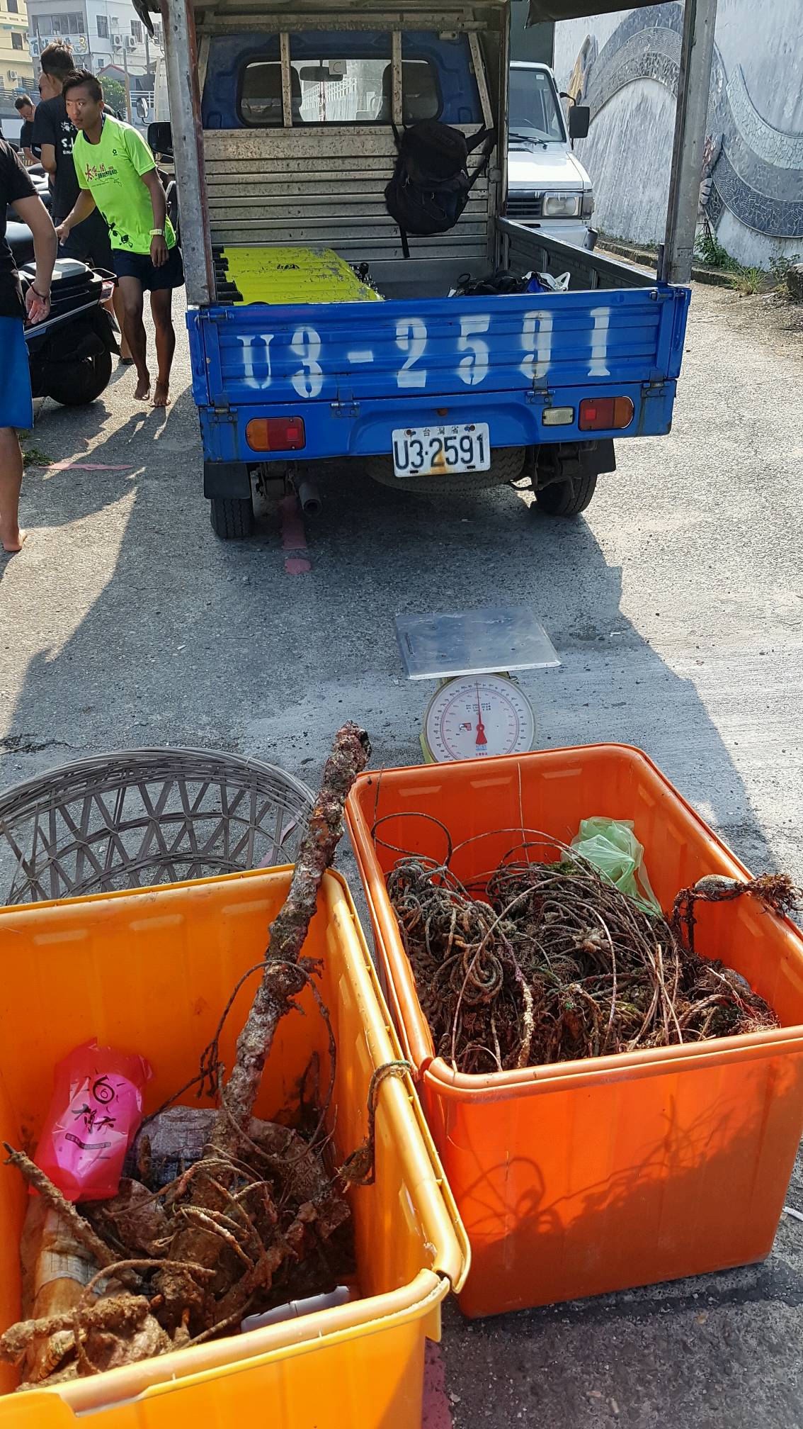
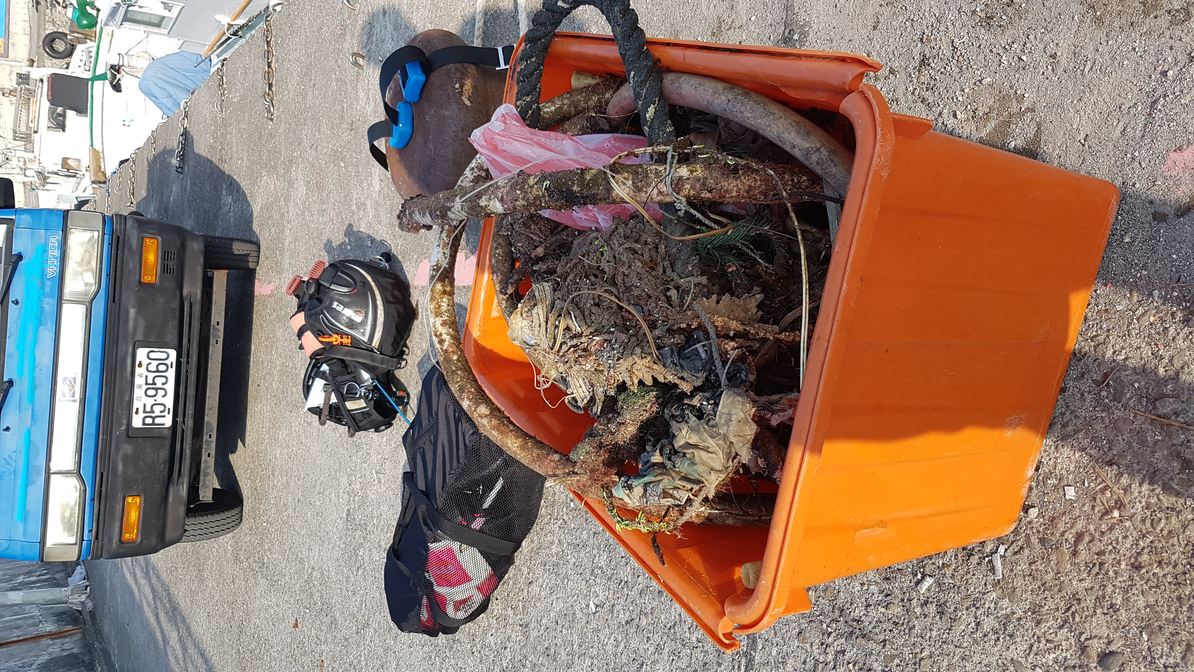
14
35.00
50
12.00
10.00
measured
1100.00
On
kilograms
I have debris data to report
Smooth (wavelets) for waves 0.1 - 0.5 meter high
m2
meters
coral reef
City
Xiao Liu Chiu Island
Map Help
Dive Location
If you know your survey site coordinates, enter them manually in decimal degrees using WGS84 Map Datum. Use the minus sign for latitudes south of the equator and longitudes west of the Prime Meridian to 180 degrees.
If you do not know your survey site coordinates, click the “Map Location” tab to use the map to zoom into your survey site and drop the pin on the map to fall within your survey dive site in the water (not on land or the beach). Ensure you zoom in as much as possible to ensure data accuracy.
Entangled Help