ADS386 - Aqualife Divers Academy House Reef
147
6
11.953261, 121.928317
180
7
8
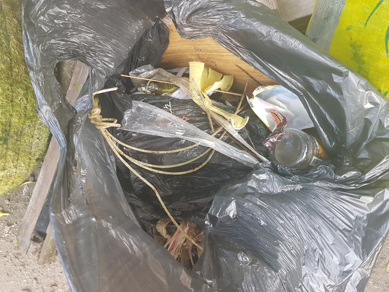
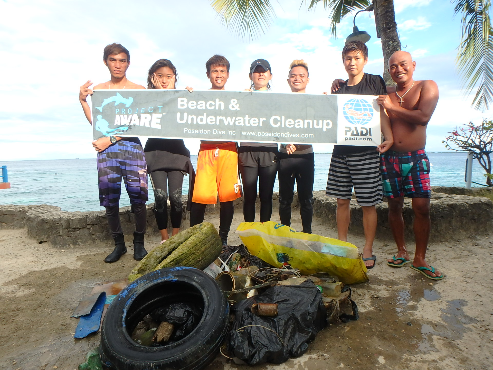
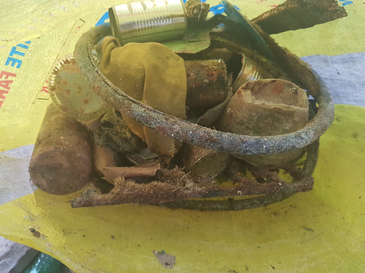
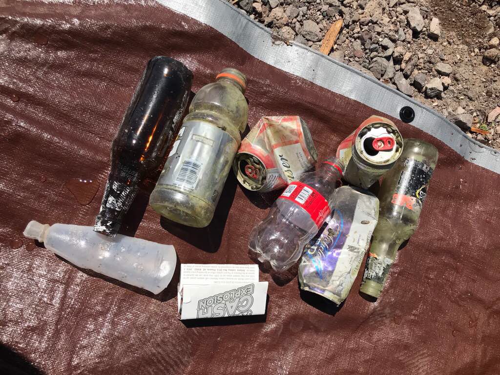
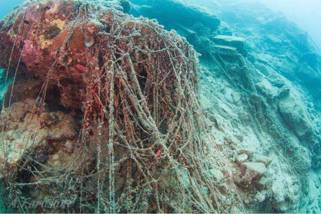
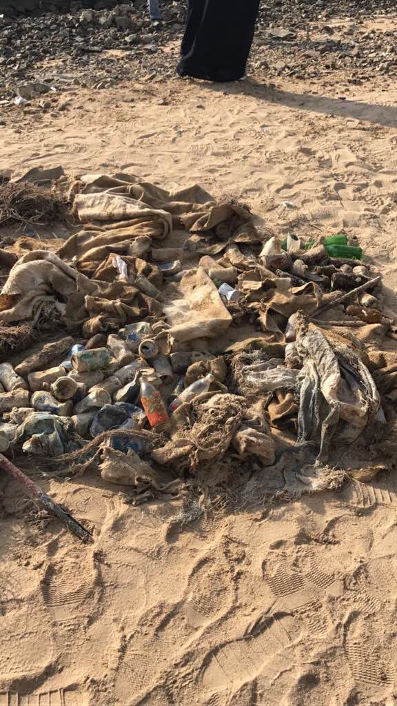
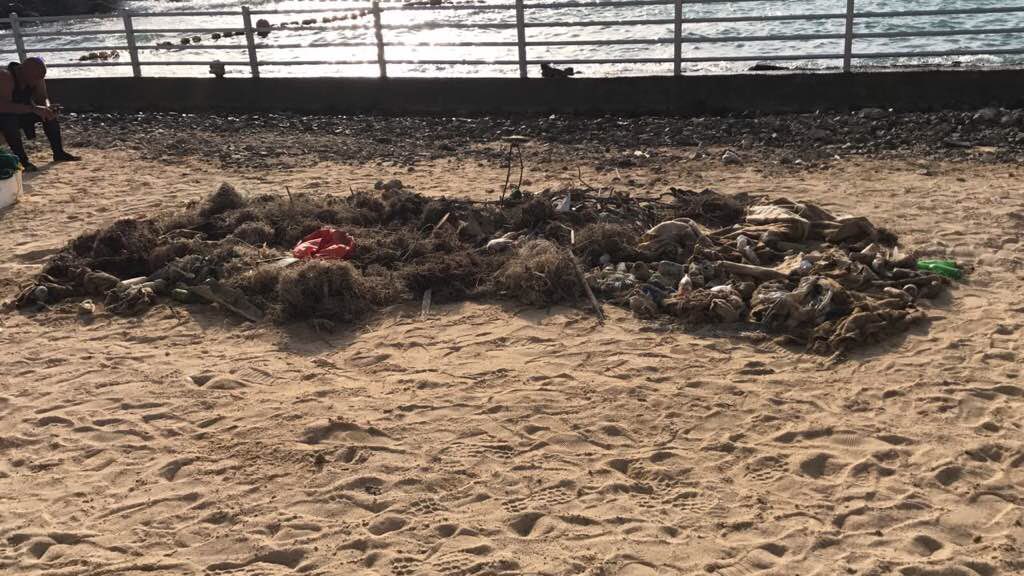
The month of March is the middle of tourist peak season on Boracay Island. Most of the trash we collected seemed to have been discarded from sailboats that offer island-hopping tours.
Rubber tire
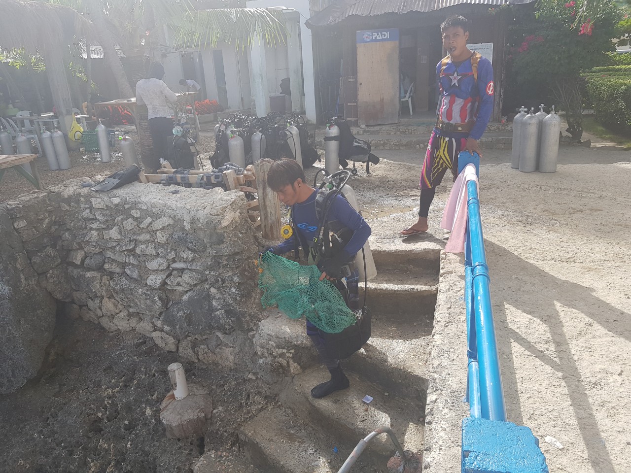
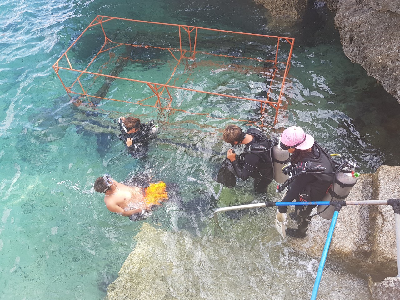
Very sunny, no wind, calm waters
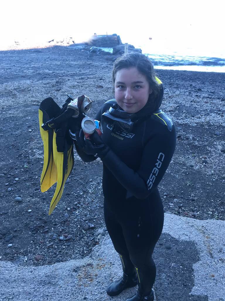
Aqualife Divers Academy
Jon-Jon I. Suarez
4
4
56
15
17
6
4
3
6
28
2
2
10.00
40
8.00
2.00
12
estimated
8
3
2000.00
1
1
Plastic bags
Beverage bottles
Cigarette butts
3
On
kilograms
I have debris data to report
30
Calm (glassy to rippled) for waves 0 – 0.1 meter high
7
m2


2
meters
other
4
1
2
3
11
1
State\Province
Aklan
City
Boracay Island, Malay
Map Help
Dive Location
If you know your survey site coordinates, enter them manually in decimal degrees using WGS84 Map Datum. Use the minus sign for latitudes south of the equator and longitudes west of the Prime Meridian to 180 degrees.
If you do not know your survey site coordinates, click the “Map Location” tab to use the map to zoom into your survey site and drop the pin on the map to fall within your survey dive site in the water (not on land or the beach). Ensure you zoom in as much as possible to ensure data accuracy.
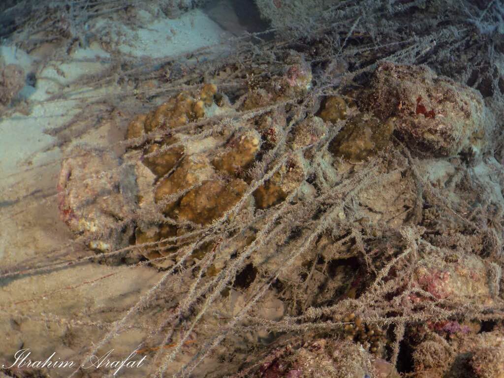
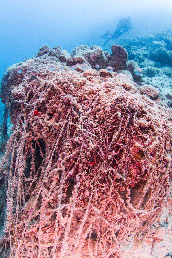
Entangled Help
Use the vertical tabs below to record any entangled animals you found of each type.
Ecosystem Other
Sand with scattered rocks, corals and sea grass