ADS325 - The Waters Edge Reef
1
35.974972222222, 14.355666666667
Wedding at the hotel
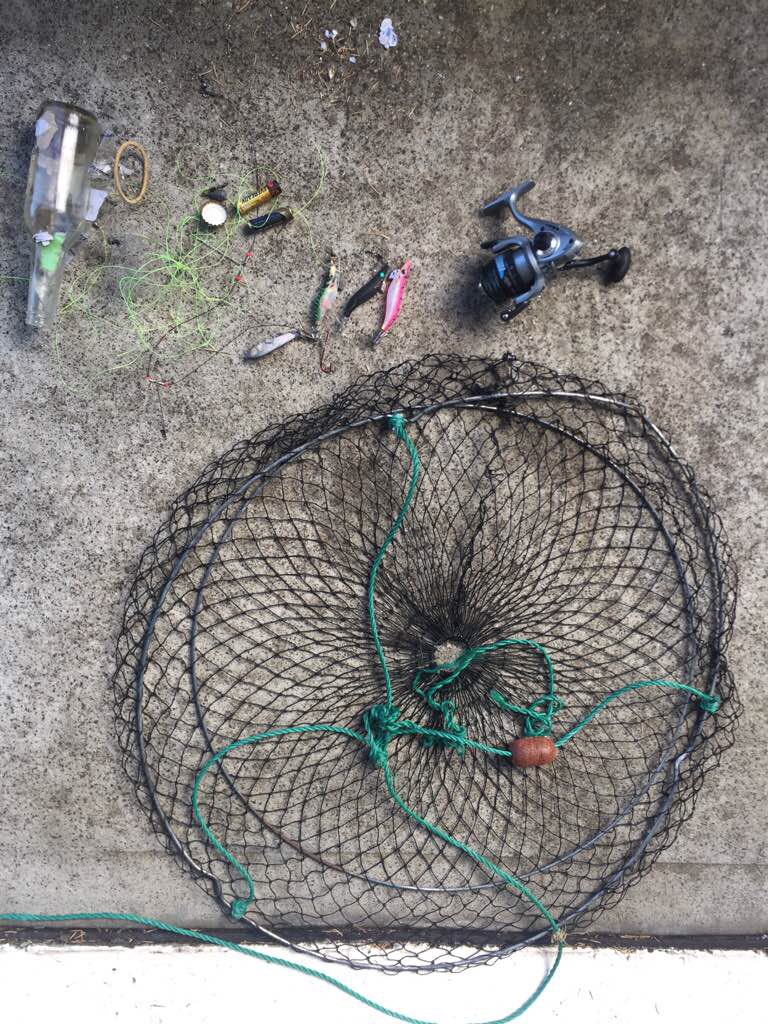
The photo also shows clay pigeon targets found on another dive further up the coast on another day
A pair of knickers and a sock
Mixture of NW - SE force 2-5 bft. Some thunderstorms. Strong to moderate sea conditions
AquaVentureMalta
Lee Martin
1
3
1
2
4
2
1.50
30
5.00
2.00
1
estimated
5574.87
plastic bottles from all inclusive hotel
Balloons, Hotel is used as a wedding venue
Boats mooring in the bay to use beach
On
kilograms
I have debris data to report
Smooth (wavelets) for waves 0.1 - 0.5 meter high
m2

meters
seagrass
2
2
1
2
City
Mellieha
Map Help
Dive Location
If you know your survey site coordinates, enter them manually in decimal degrees using WGS84 Map Datum. Use the minus sign for latitudes south of the equator and longitudes west of the Prime Meridian to 180 degrees.
If you do not know your survey site coordinates, click the “Map Location” tab to use the map to zoom into your survey site and drop the pin on the map to fall within your survey dive site in the water (not on land or the beach). Ensure you zoom in as much as possible to ensure data accuracy.
Entangled Help