Kadena South Steps
3
1
26.3216, 127.748
5
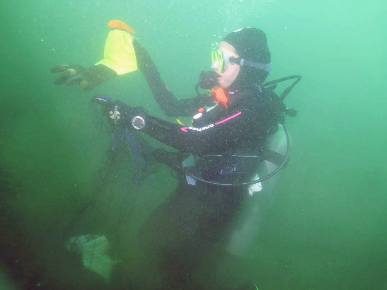
coral
3
100
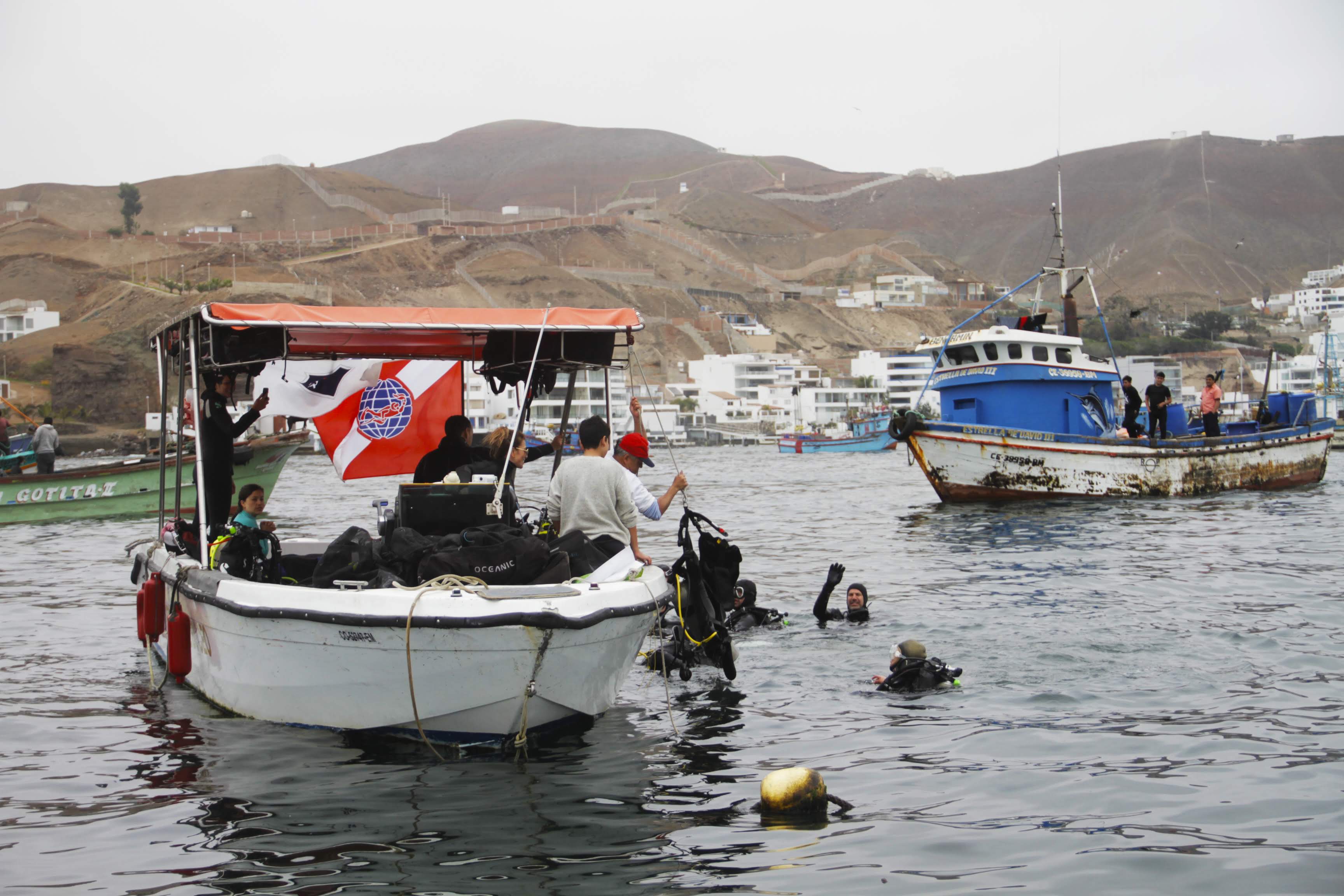
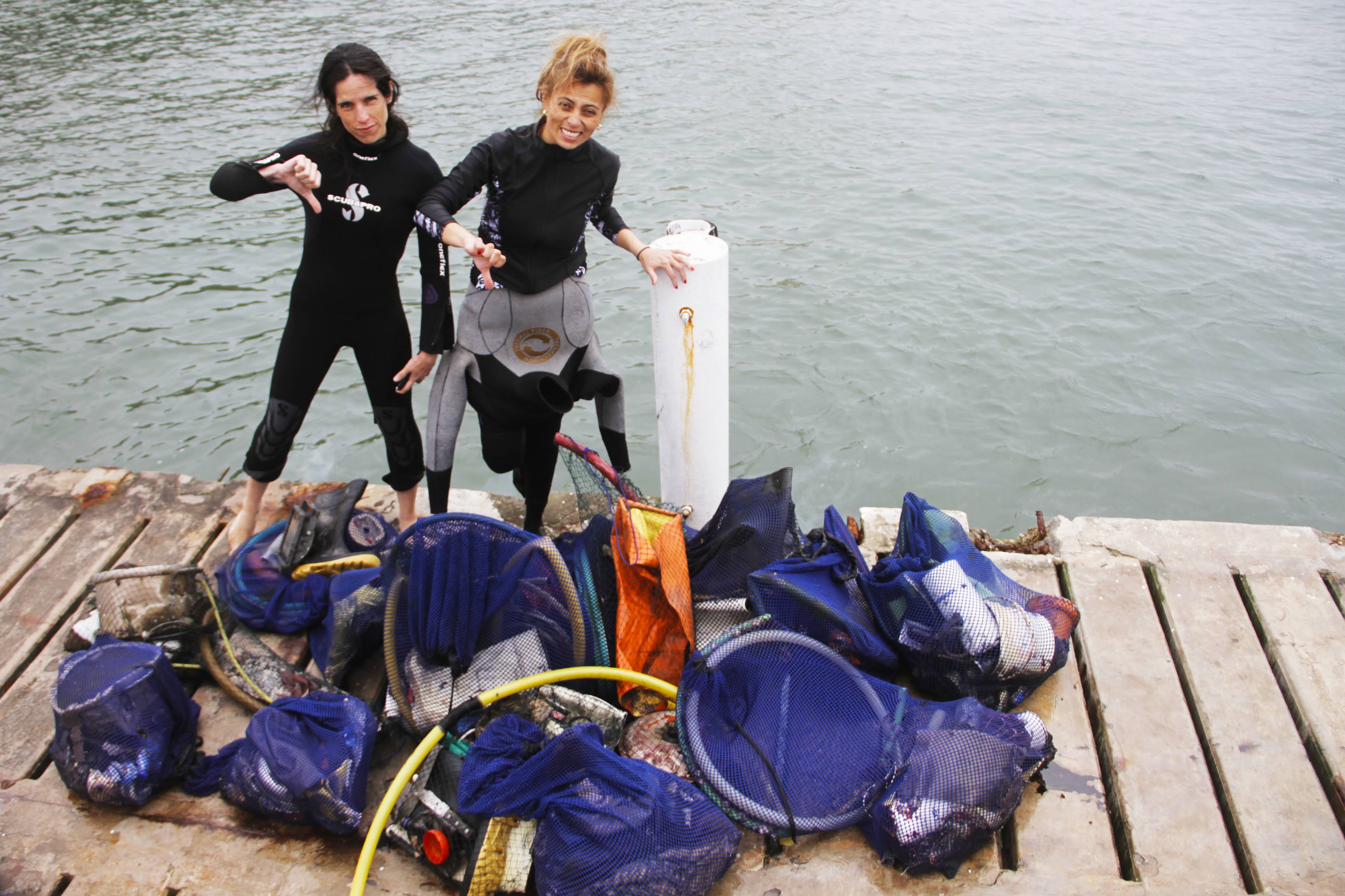
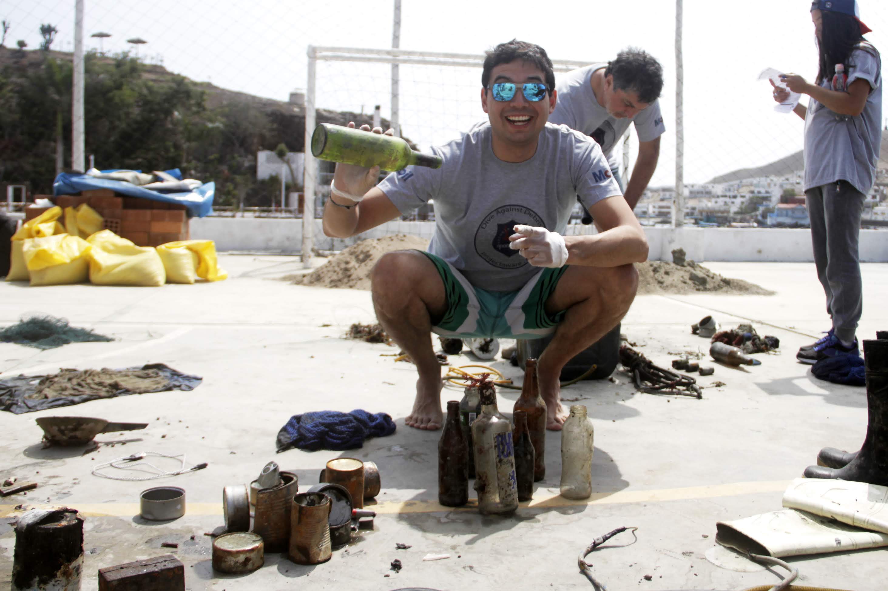
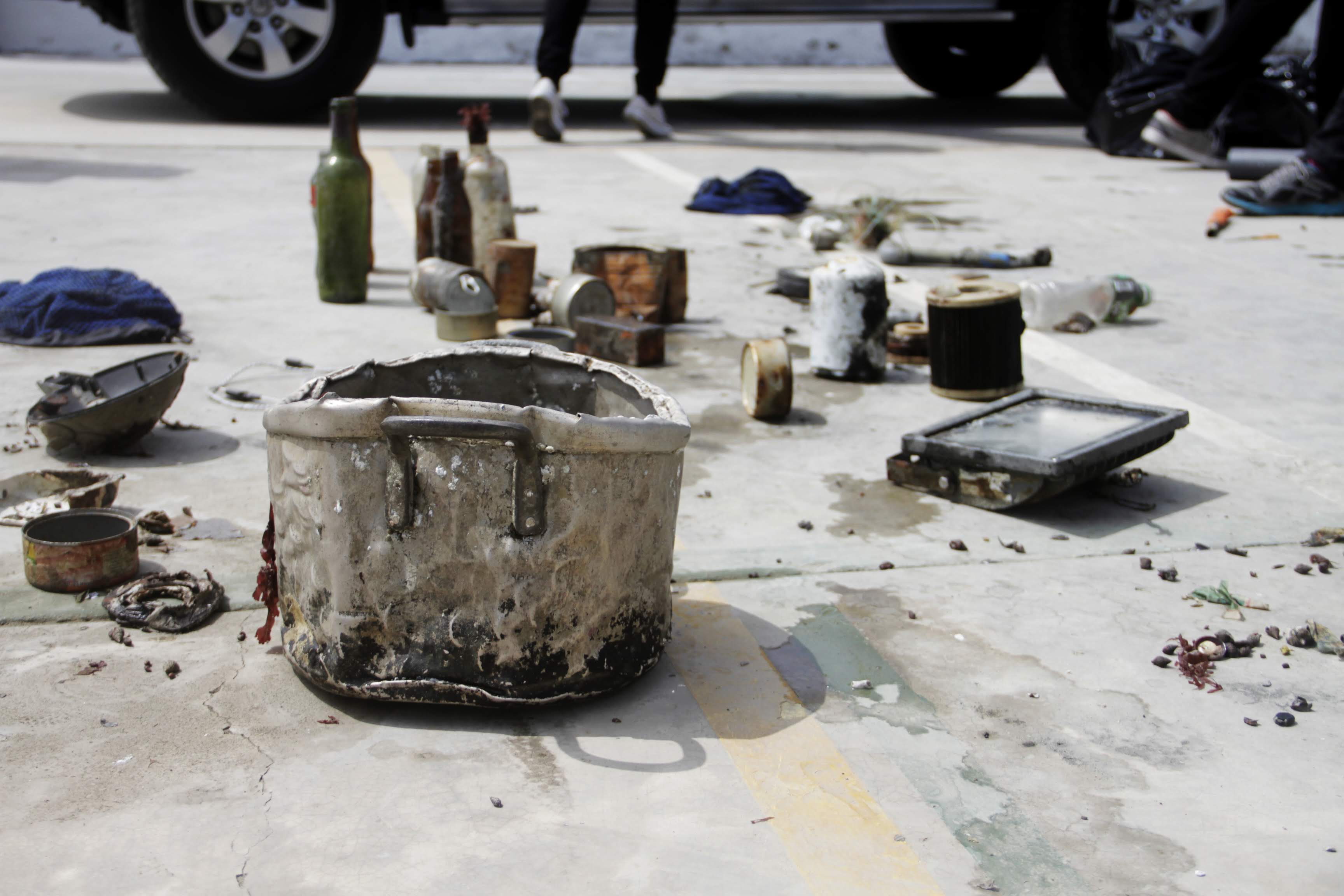
No. The site we chose is popular for fishing which led to the collection of over 100 lines with hooks that were removed from the coral.
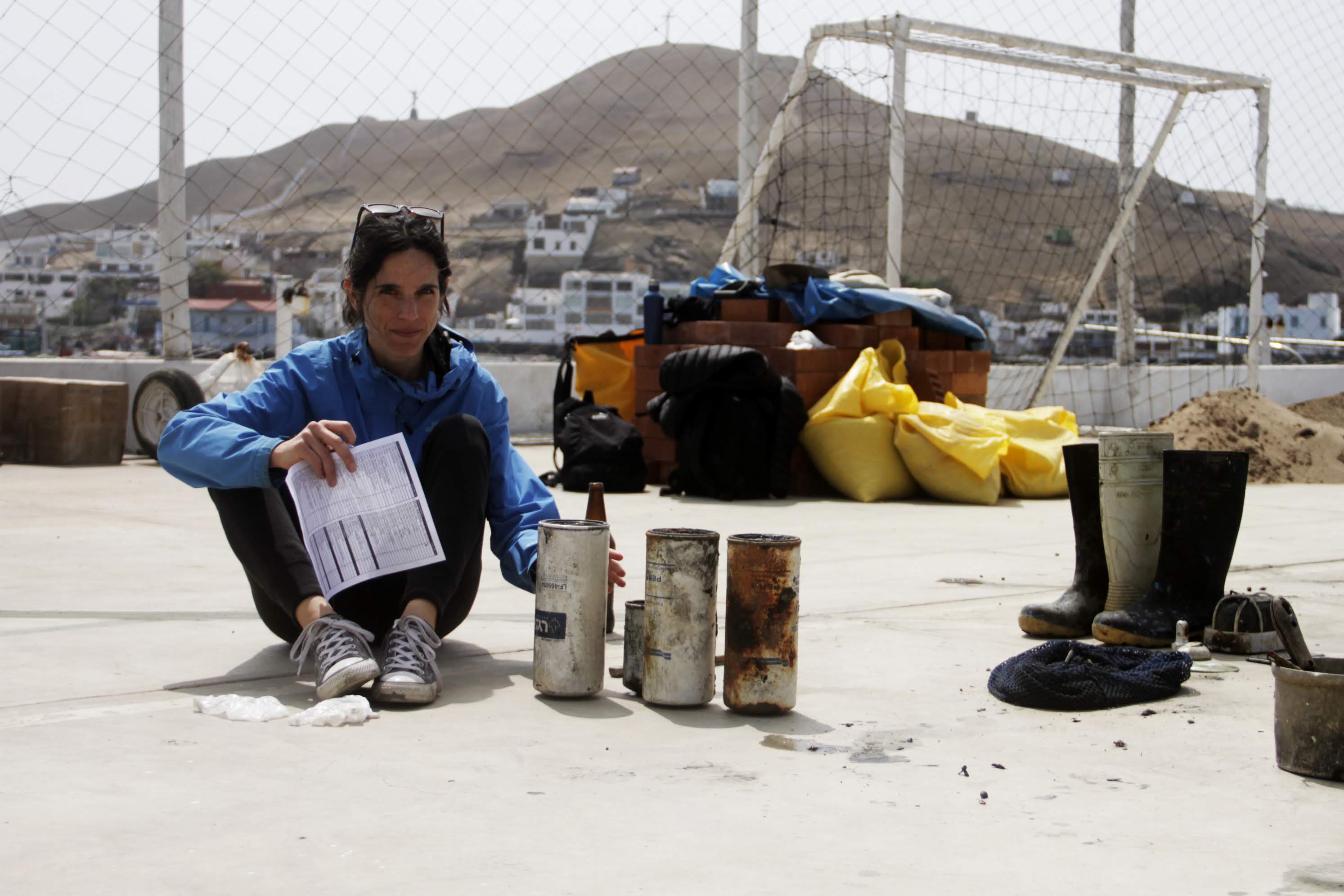
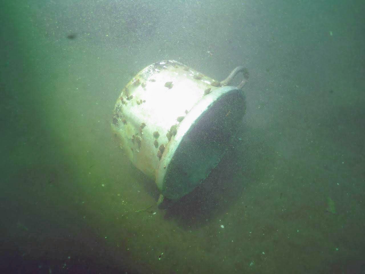
remnants of a steel 55 gallon drum.
Previous week was calm with little to no surf outside of normal tide shifts
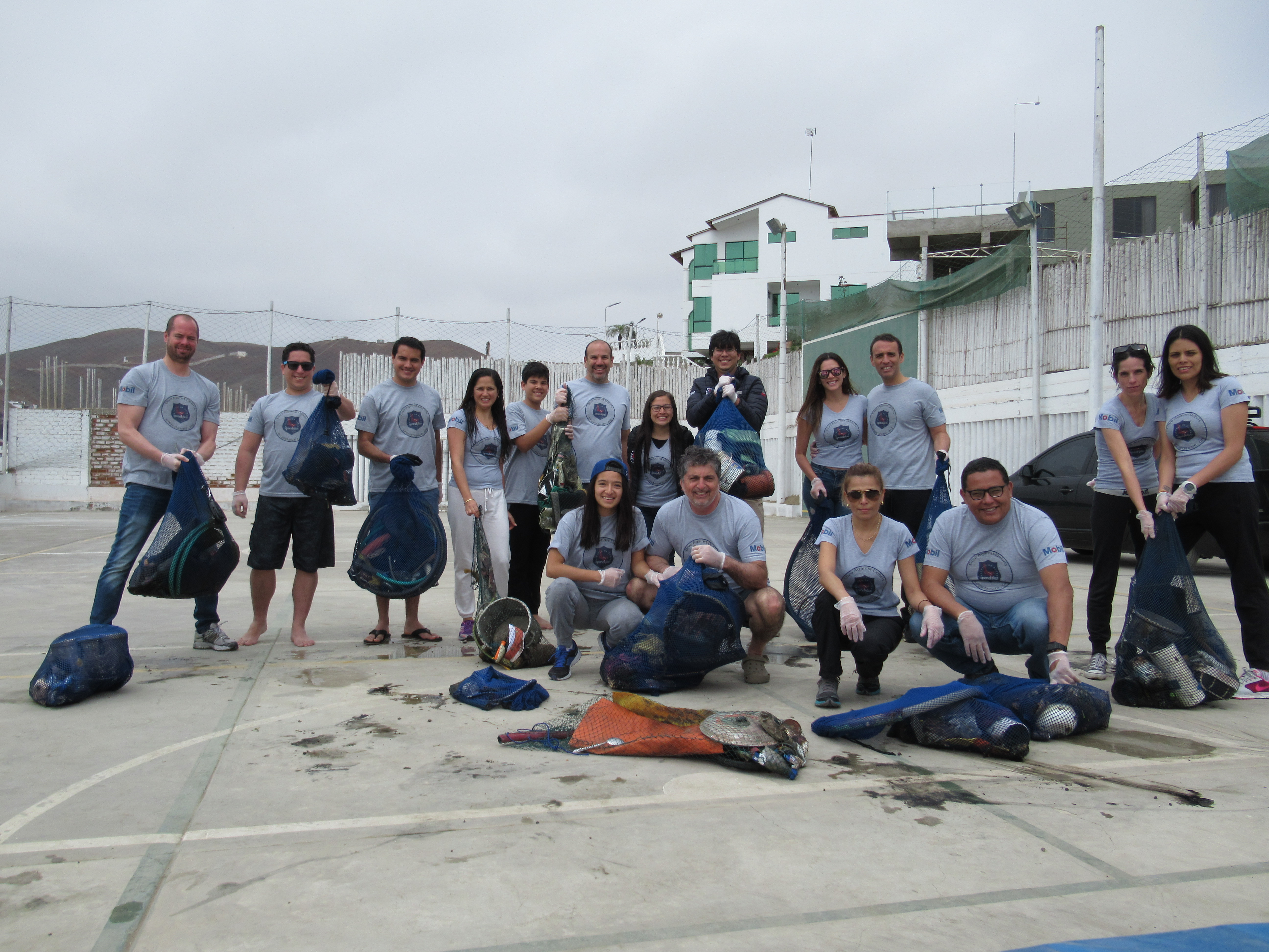
Samurai Dive Club
Micheal Snider
1
1
10
1
6
1
1
1
65.00
52
62.00
10.00
estimated
1
25
800.00
1
On
pounds
I have debris data to report
1
Smooth (wavelets) for waves 0.1 - 0.5 meter high
m2
feet
coral reef
19
2
1
1
3
10
State\Province
Okinawa
City
Uruma
Map Help
Dive Location
If you know your survey site coordinates, enter them manually in decimal degrees using WGS84 Map Datum. Use the minus sign for latitudes south of the equator and longitudes west of the Prime Meridian to 180 degrees.
If you do not know your survey site coordinates, click the “Map Location” tab to use the map to zoom into your survey site and drop the pin on the map to fall within your survey dive site in the water (not on land or the beach). Ensure you zoom in as much as possible to ensure data accuracy.
Entangled Help