Malabar / Long Bay
13
7
other
15
3
2
-33.96442828438, 151.2525596406
No
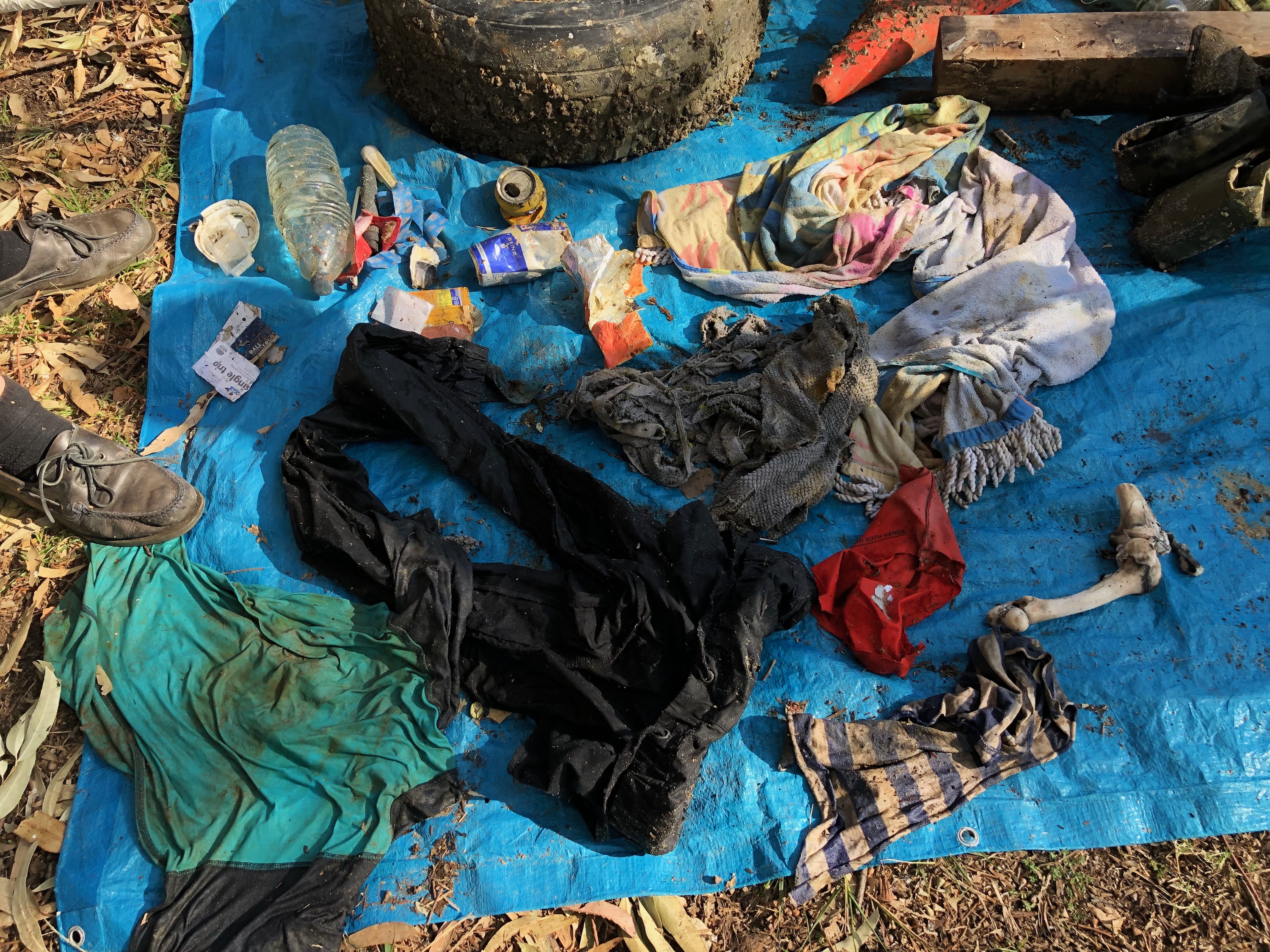
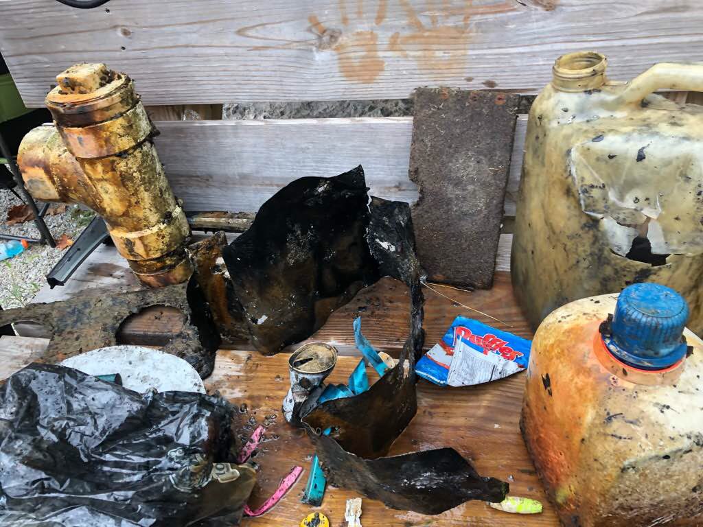
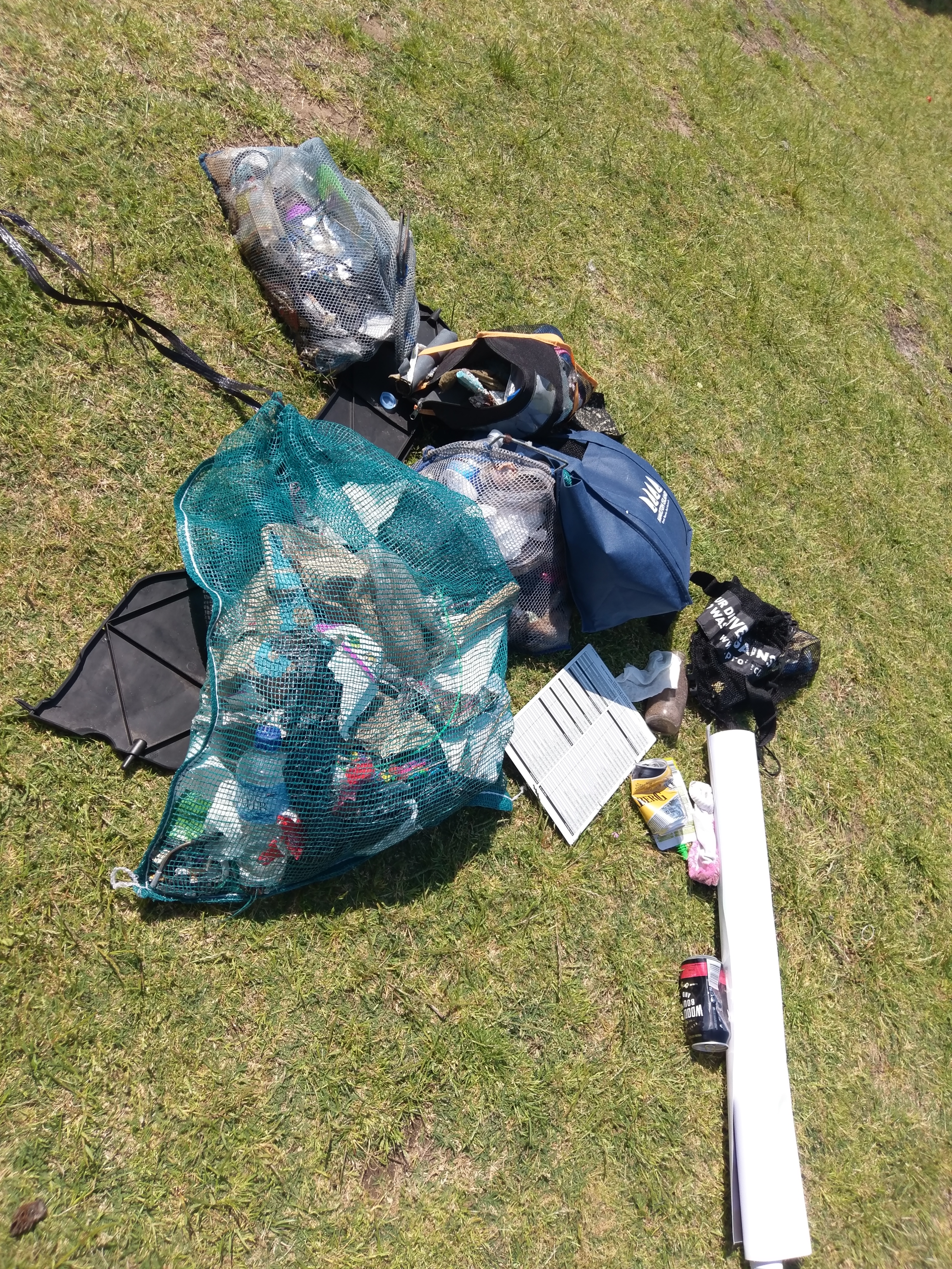
Most Unusual Drug Bong
2nd unusual 1/2 a fin
2nd unusual 1/2 a fin
1
1
1
1
Circuit Board
1967 Glass Bottle
Bong (For dope smoking)
Car scuff plate
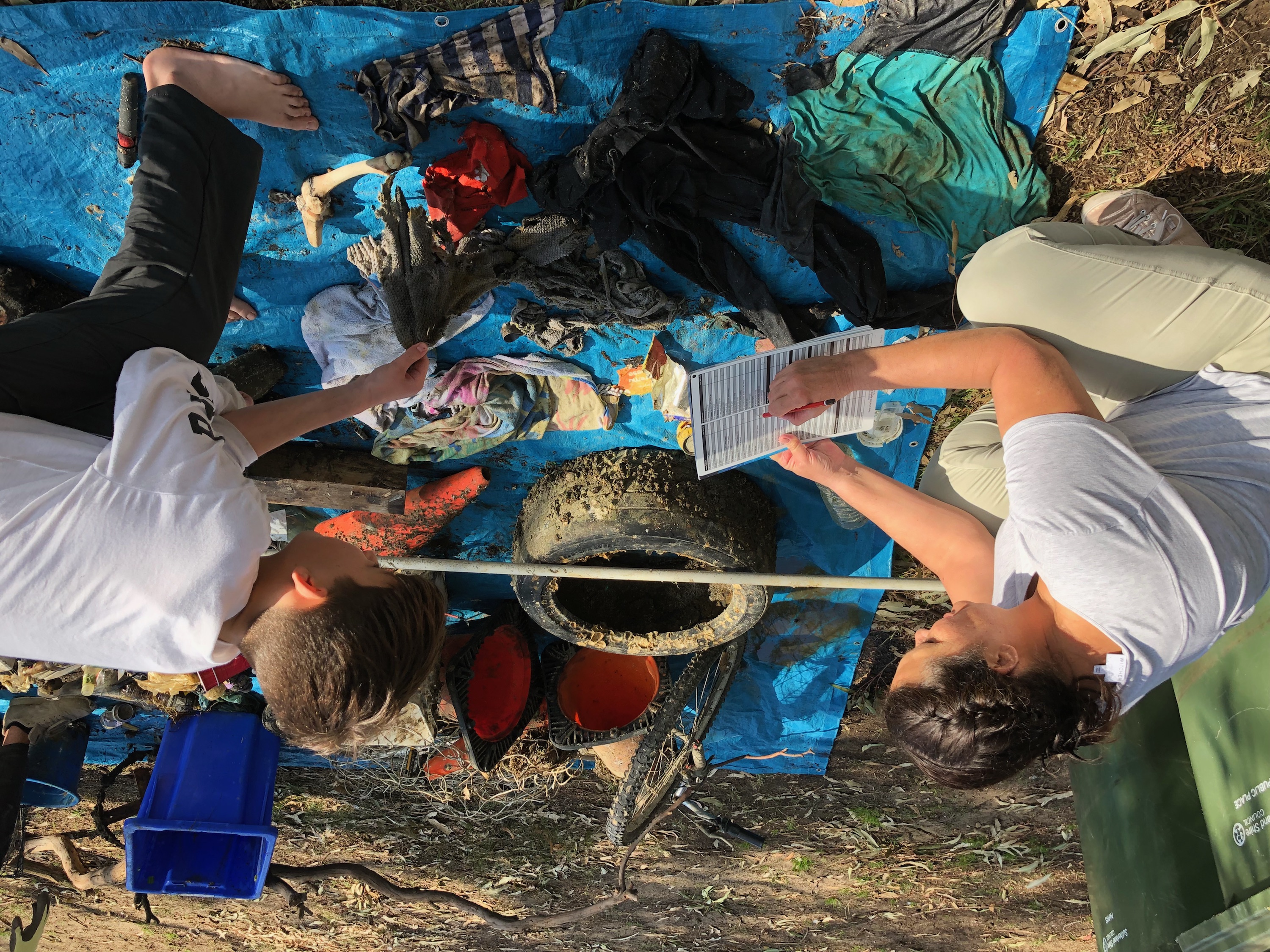
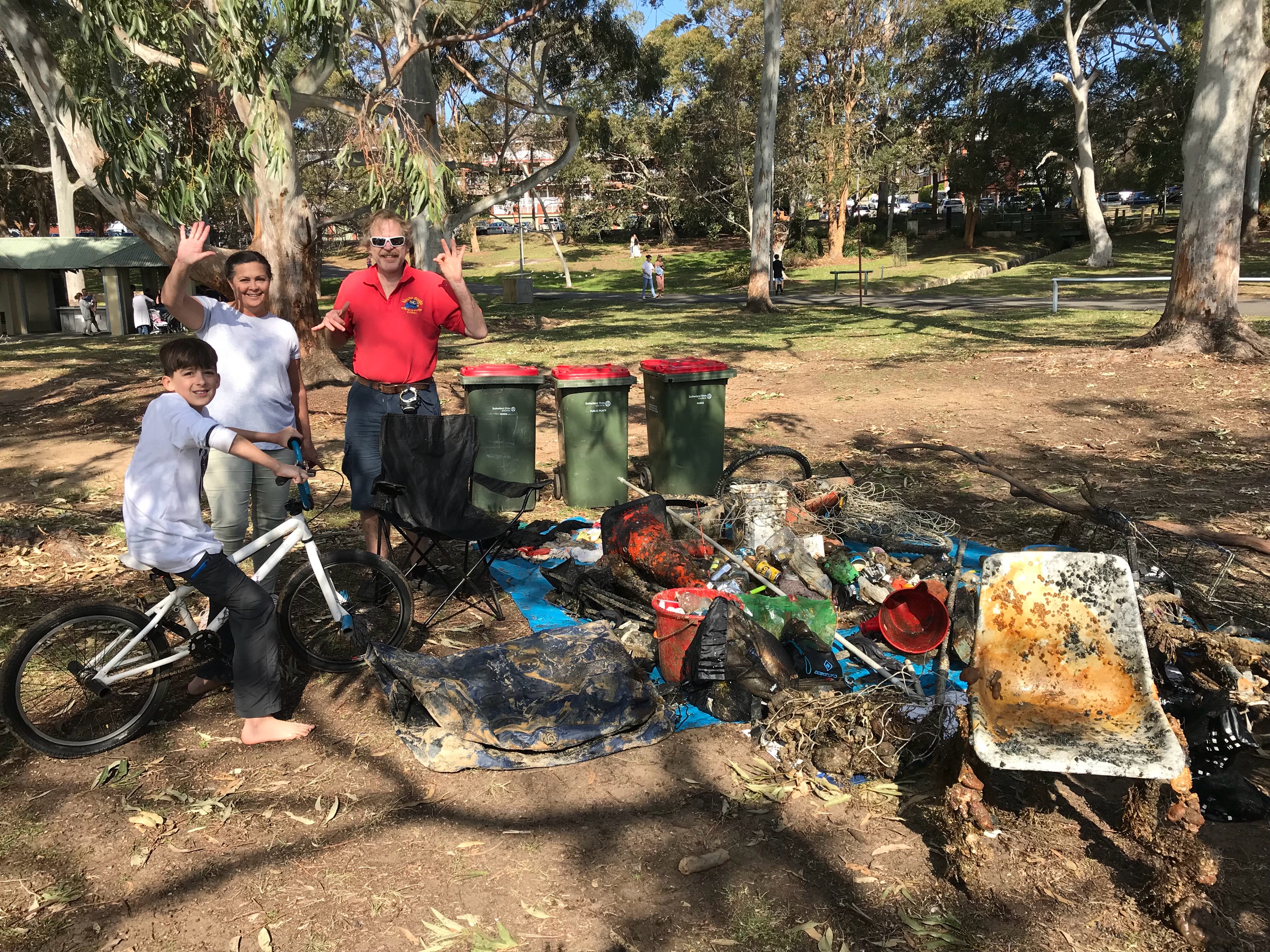
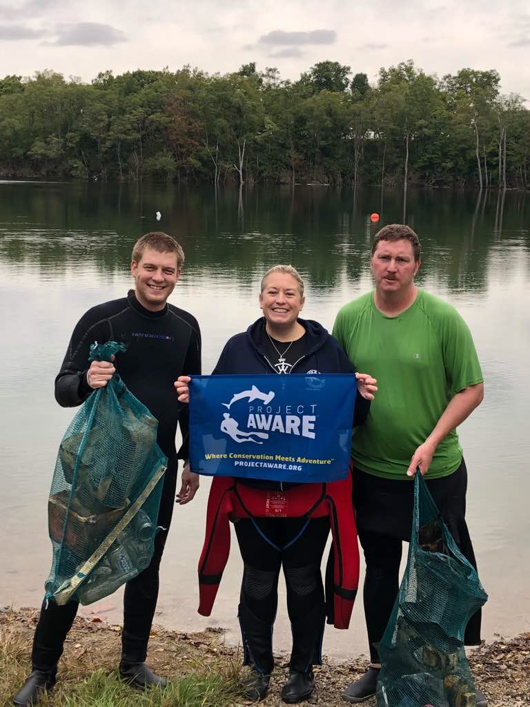
Geo Divers
Scott Robetts
1
1
20
2
12
1
15
7
2
5
70
4
7.00
60
8.00
3.00
estimated
2
2900.00
2
4
6
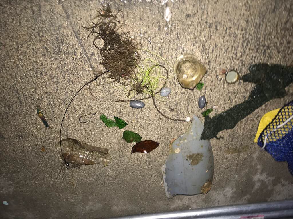
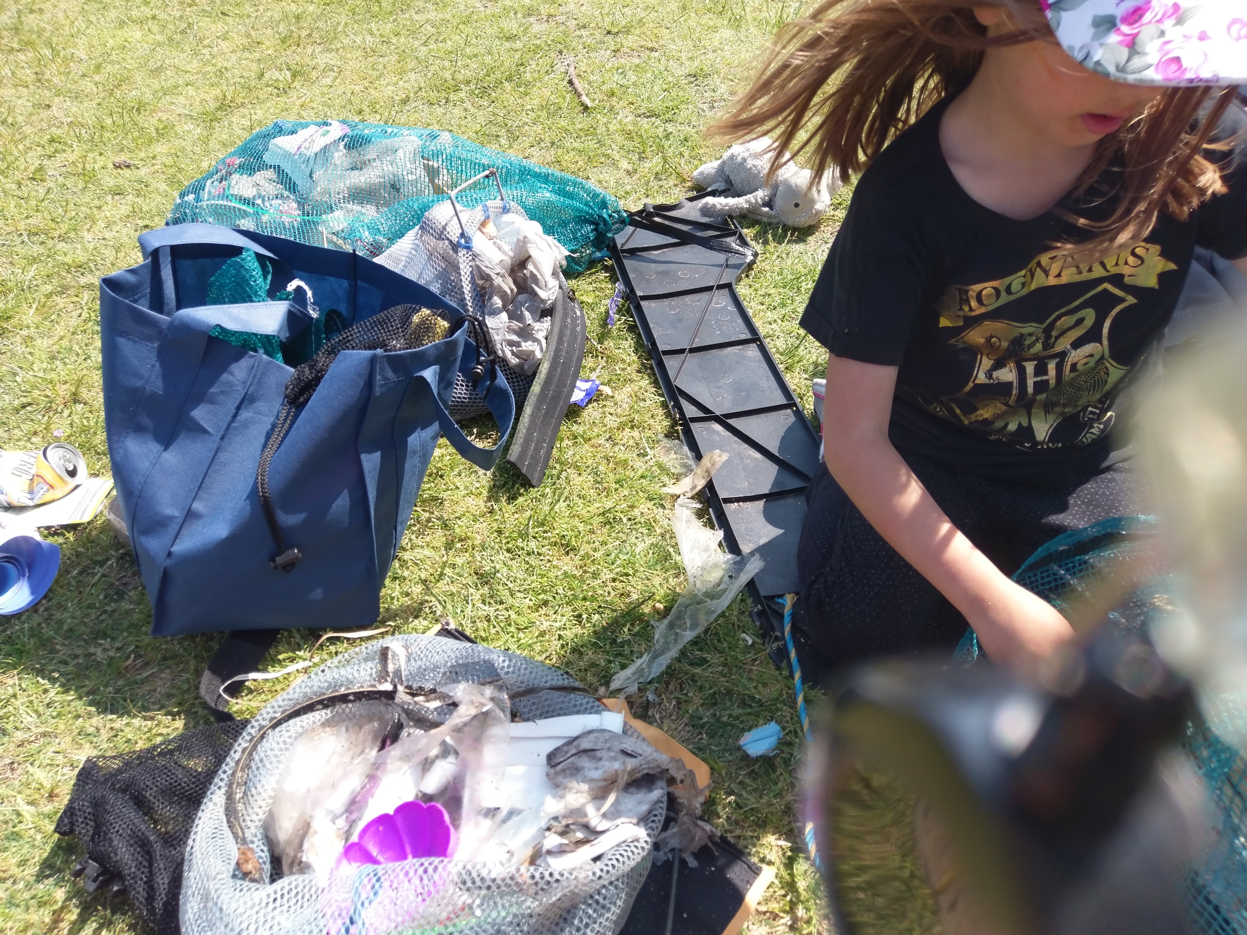
Plastic bags
Plastic Fragments
1
On
kilograms
I have debris data to report
3
1
Slight for waves 0.5 -1.25 meter high
1
1
1
14
m2
3
4
meters
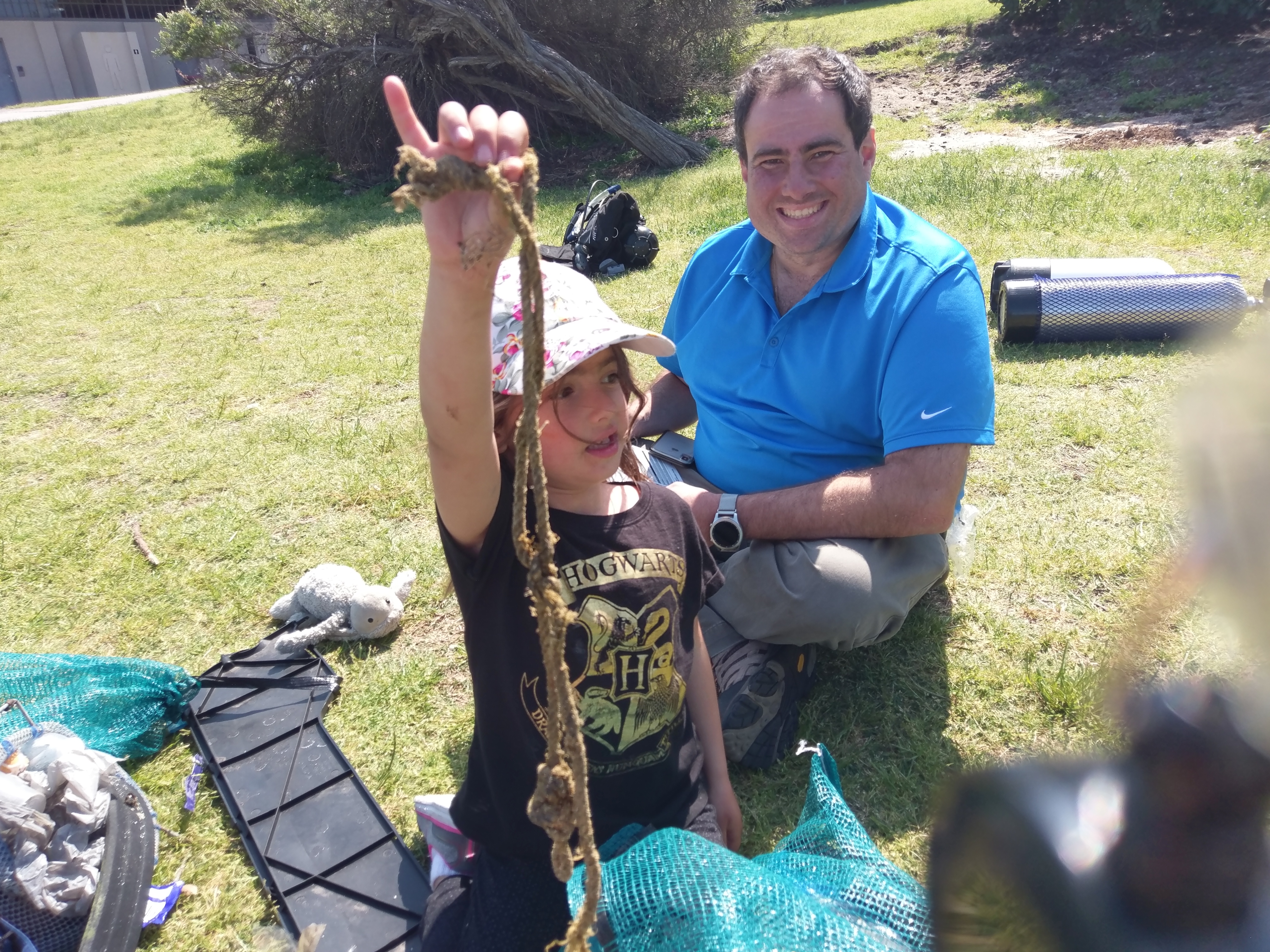
kelp
4
1
4
1
1
8
3
8
1
1
State\Province
New South Wales
City
Sydney
Map Help
Dive Location
If you know your survey site coordinates, enter them manually in decimal degrees using WGS84 Map Datum. Use the minus sign for latitudes south of the equator and longitudes west of the Prime Meridian to 180 degrees.
If you do not know your survey site coordinates, click the “Map Location” tab to use the map to zoom into your survey site and drop the pin on the map to fall within your survey dive site in the water (not on land or the beach). Ensure you zoom in as much as possible to ensure data accuracy.
Entangled Help
Use the vertical tabs below to record any entangled animals you found of each type.
Dominant Substrate Other
Rock and Sand