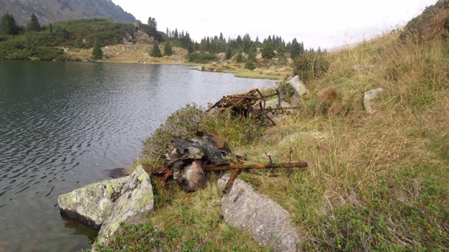
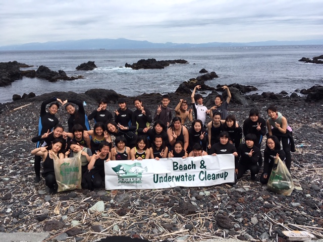
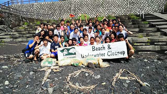
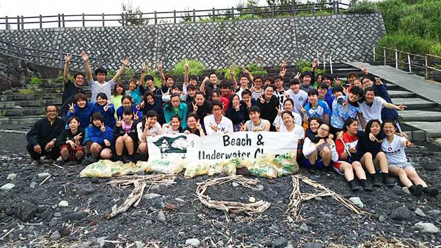
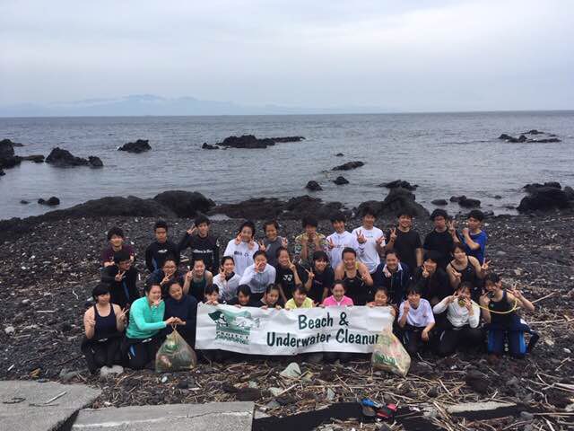
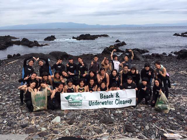
Green Bay Marina, Yokosuka, Japan
23
9
18
35.288111111111, 139.67230555556
17
4
4
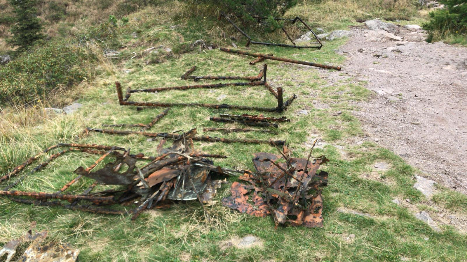
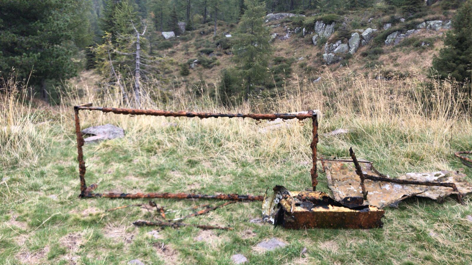
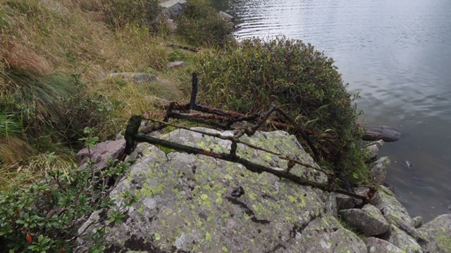
Large Bamboo Stick
Sunny, slight wind, one rainstorm
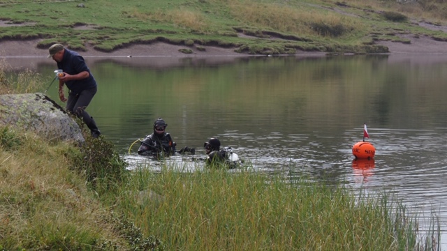
Yokosuka Bubble Club
Victoria Sengelman
3
7
8
17
8
3
8
14
11
6
3
200.00
205
2.40
2.40
estimated
3.80
3
4
14
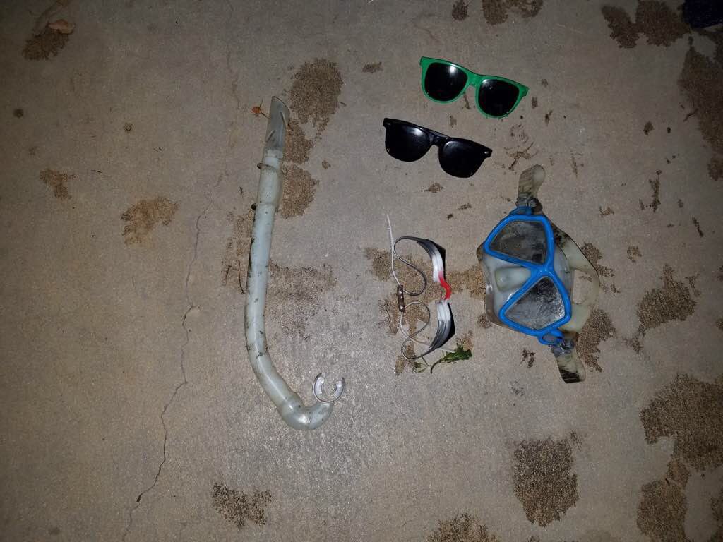
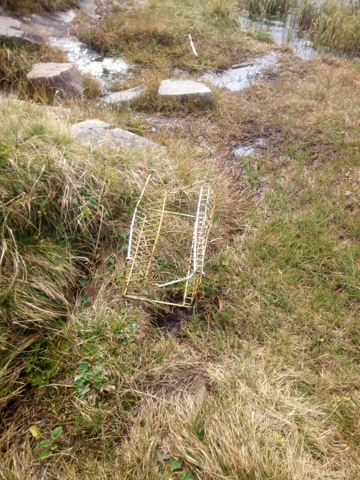
Plastic Children's Toys
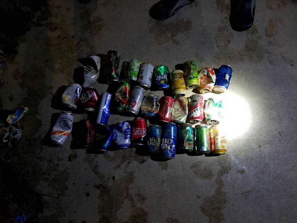
Plastic drinking cups
Plastic snack bags
On
pounds
I have debris data to report
5
1
Calm (glassy to rippled) for waves 0 – 0.1 meter high
1
m2
5
meters
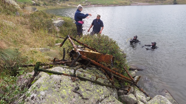
rocky reef
6
11
7
10
6
12
State\Province
Kanagawa
City
Yokosuka
Map Help
Dive Location
If you know your survey site coordinates, enter them manually in decimal degrees using WGS84 Map Datum. Use the minus sign for latitudes south of the equator and longitudes west of the Prime Meridian to 180 degrees.
If you do not know your survey site coordinates, click the “Map Location” tab to use the map to zoom into your survey site and drop the pin on the map to fall within your survey dive site in the water (not on land or the beach). Ensure you zoom in as much as possible to ensure data accuracy.
Entangled Help