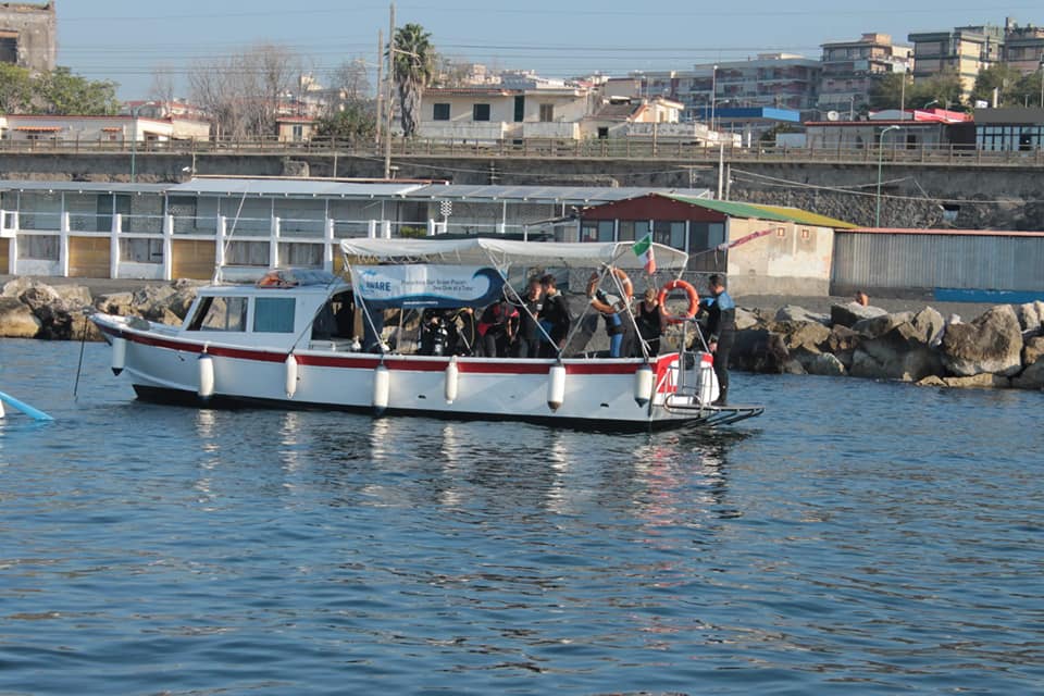
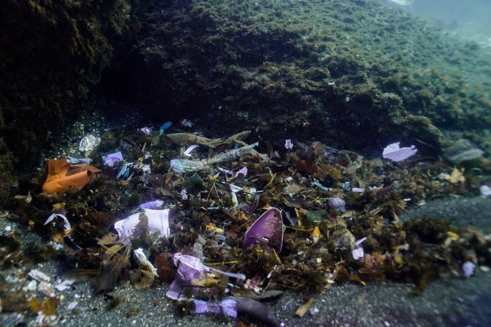
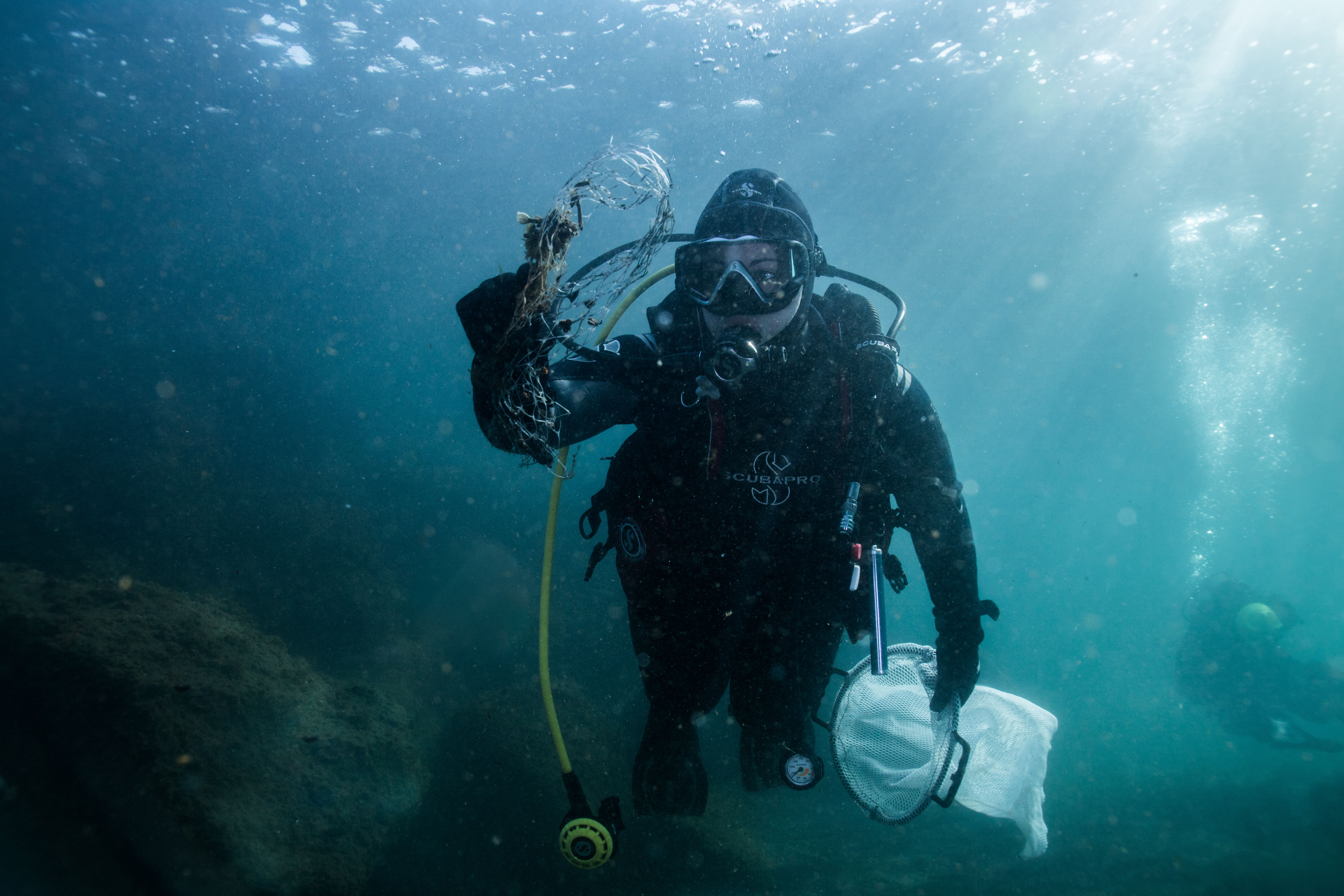
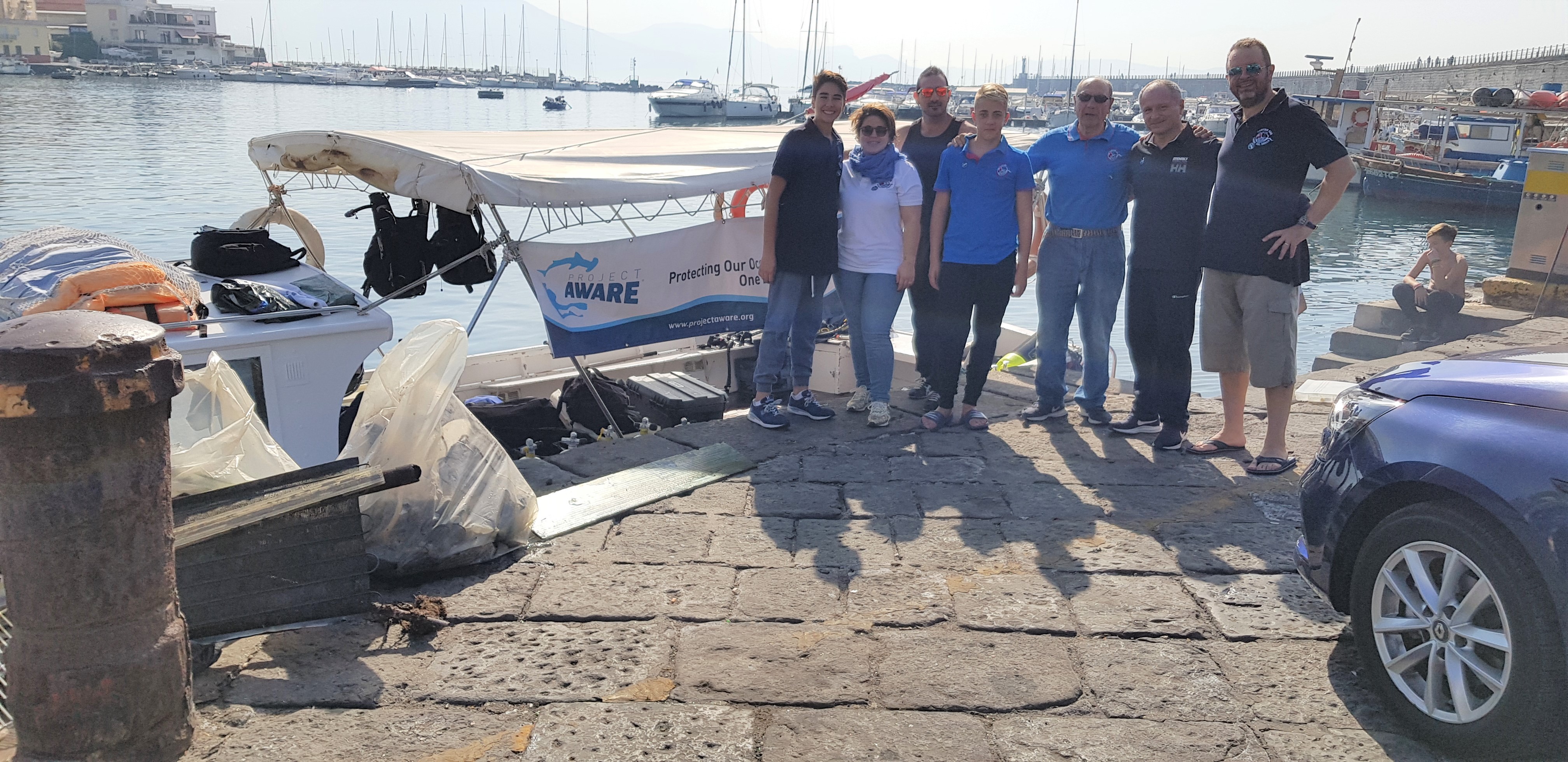
Pulizia Fondali specchio d'acqua La Scala Torre del Greco
13
sand
5
40.789959200012, 14.358291561298
Calm
1
3
1
1
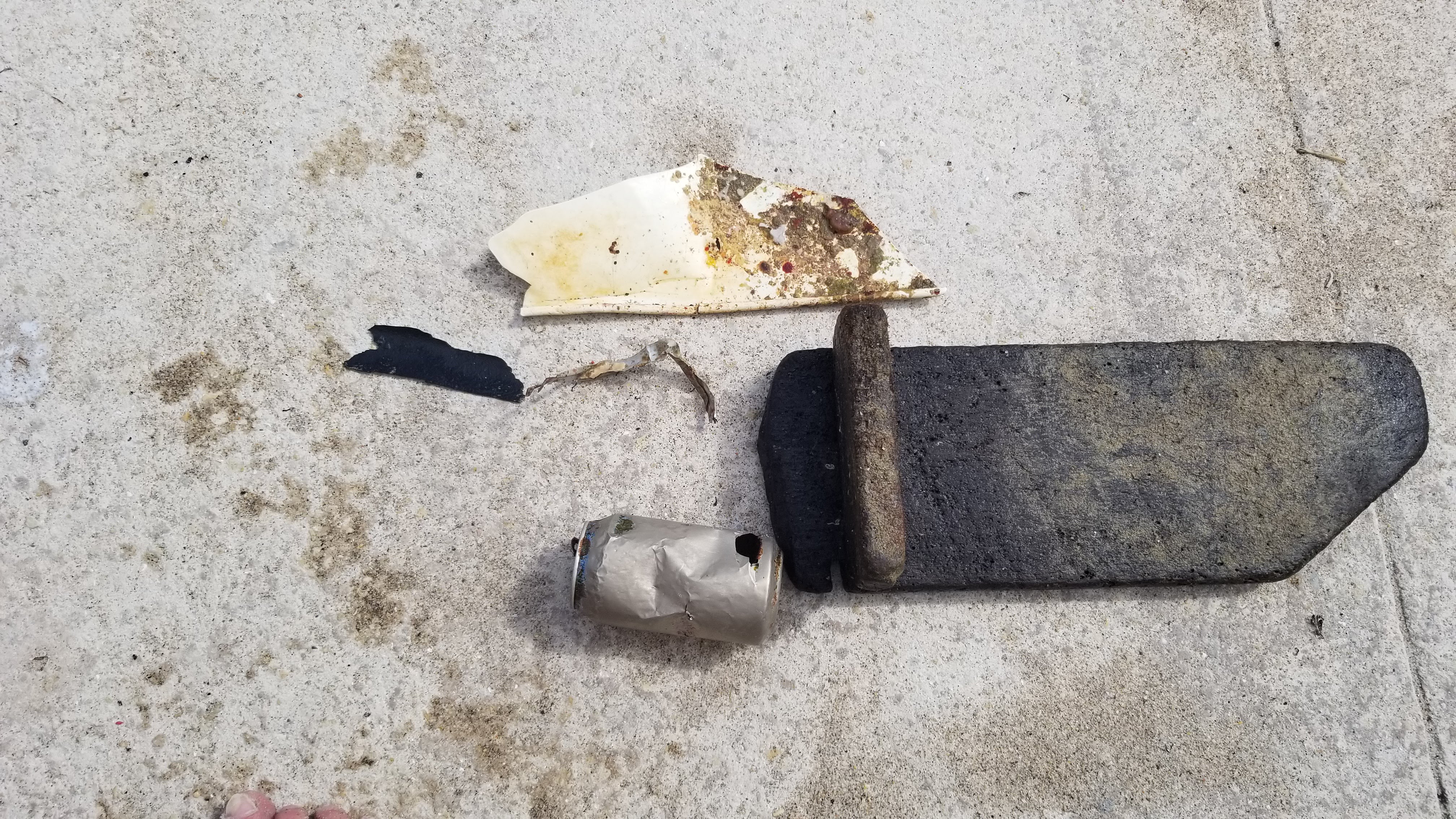
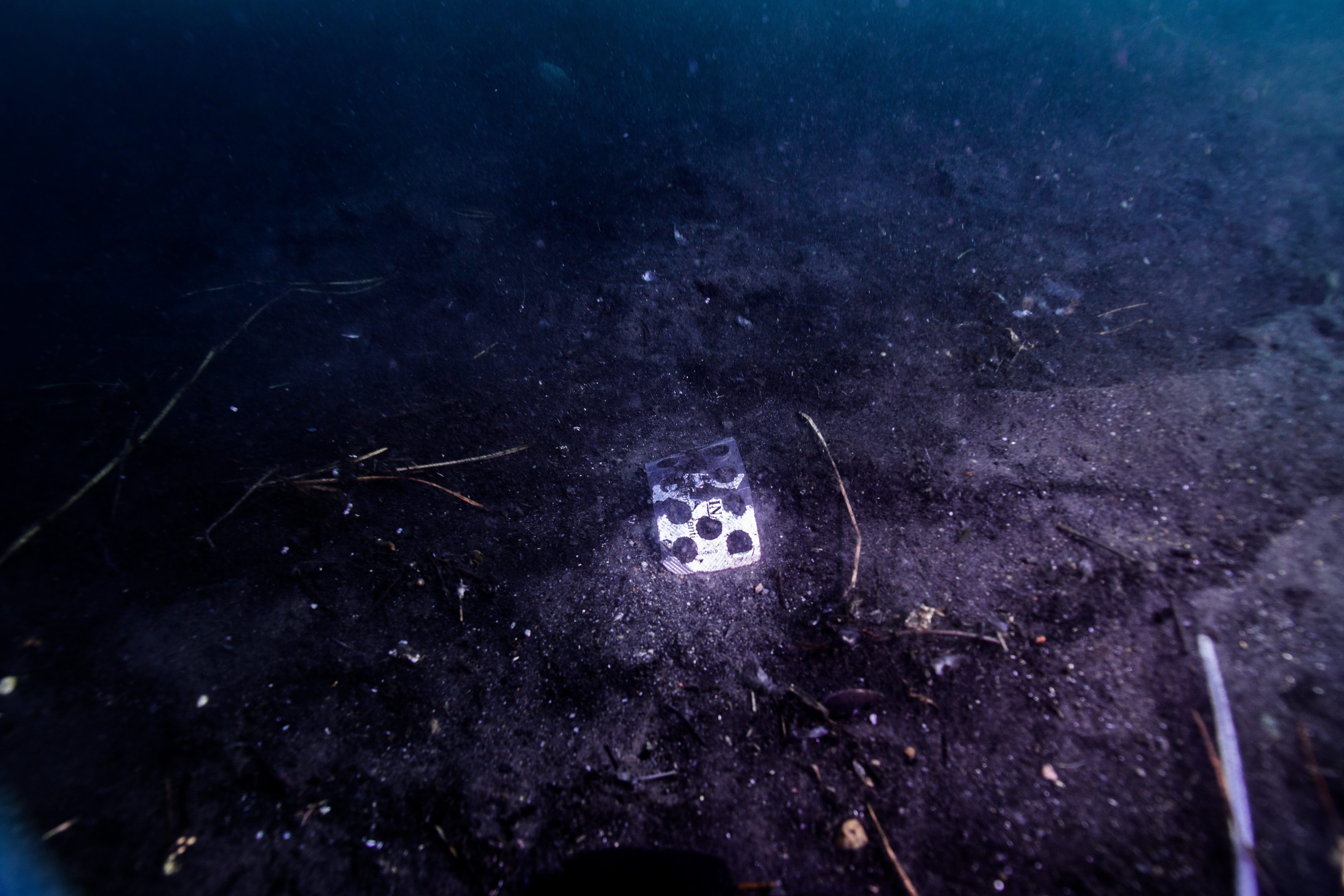
asphalt panel
refrigerator metal and mixed parts
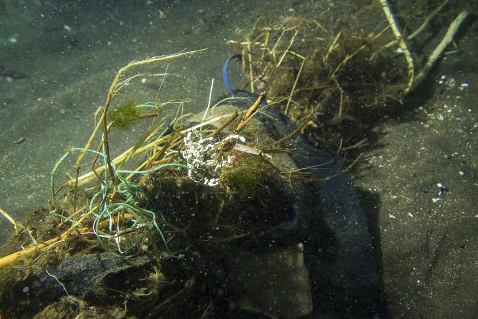
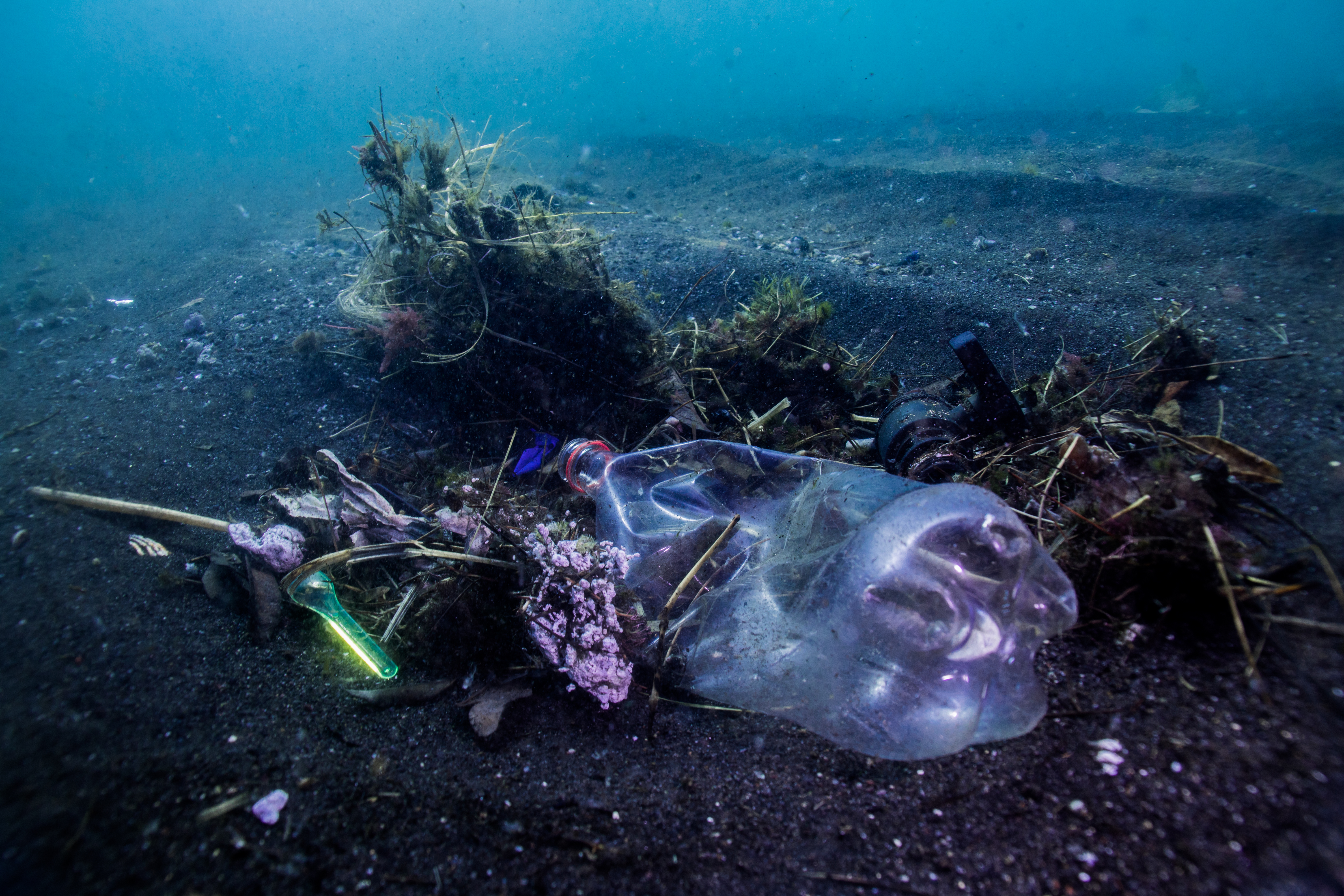
rope
metal pipe
Comune di Torre del Greco in collaborazione con Città Metropolitana di Napoli, Guardia Costiera, Centro Subacqueo TDG, Arci Pesca FISA e Lega Navale Italiana sez. TDG
Francesco Palomba
4
1
10
8
2
8
6
2
1
121.00
50
5.00
1.00
4
estimated
1
1000.00
3
13
refrigerator metal and mixed parts
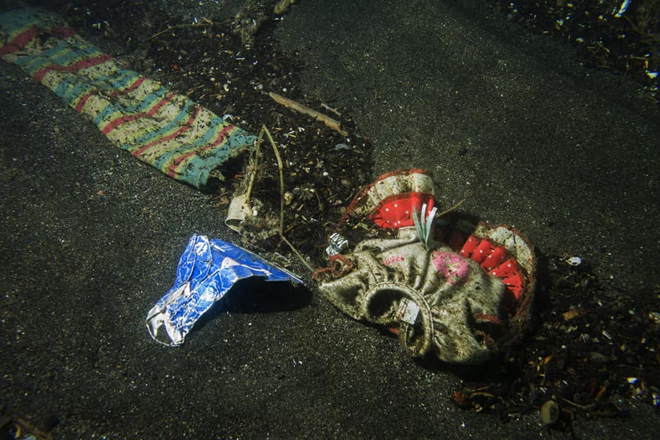
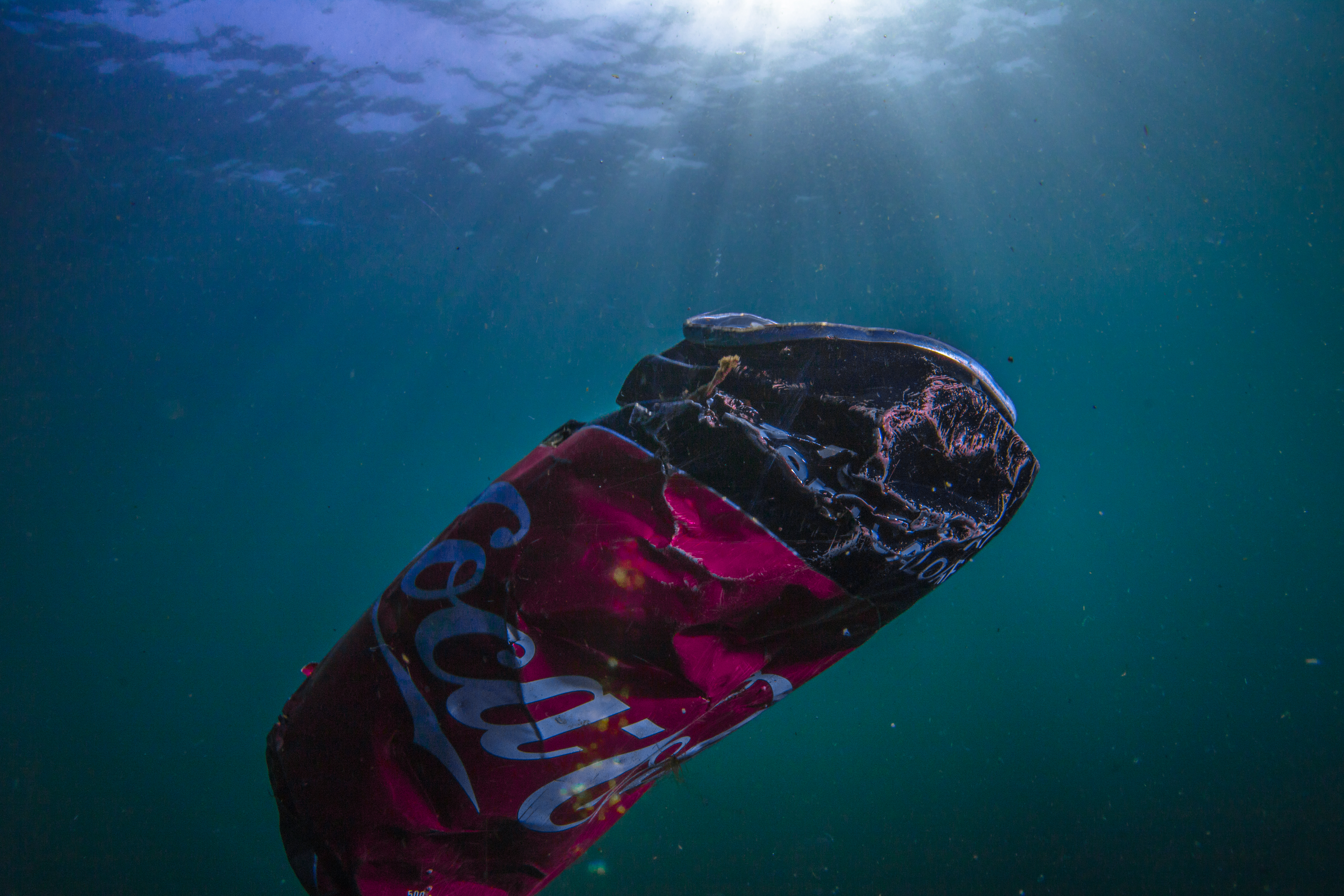
plastic
On
kilograms
I have debris data to report
4
5
Calm (glassy to rippled) for waves 0 – 0.1 meter high
14
1
24
m2
4
meters
other
32
2
3
1
3
2
1
State\Province
Napoli
City
Torre del Greco
Map Help
Dive Location
If you know your survey site coordinates, enter them manually in decimal degrees using WGS84 Map Datum. Use the minus sign for latitudes south of the equator and longitudes west of the Prime Meridian to 180 degrees.
If you do not know your survey site coordinates, click the “Map Location” tab to use the map to zoom into your survey site and drop the pin on the map to fall within your survey dive site in the water (not on land or the beach). Ensure you zoom in as much as possible to ensure data accuracy.
Entangled Help
Use the vertical tabs below to record any entangled animals you found of each type.
Ecosystem Other
Benthos