Tweed heads
0
45
0
-28.173267971872, 153.54753756188
5
3
0
sand
0
20
1
17
0
-28.173267971872, 153.54753756188
We did not just dive but cleaned the surrounding park area
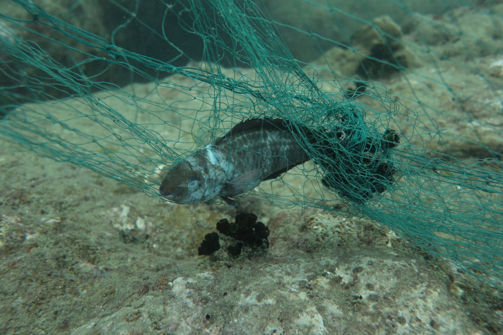
Rain, was in to the water, dumped by informal squatters in the region
Informal settlers created are big mess across the road from the dive site this was reported to the council consequently the area has been cleared and restored clean! I believe they dump lots of debris into the water.
Trolley
Great
0
0
0
0
0
0
0
0
0
0
0
0
0
0
0
0
0
0
0
0
Dive Den Scuba
Pierre Brits
1
2
2
18
0
26
0
6
1
0
0
0
0
0
0
0
3
41
0
12
0
0
0
0
30
0
0
8
12
0
6
0
0
0
60.00
42
10.00
6.00
4
estimated
0
3
1000.00
0
1
0
0
0
Bicycle parts
Chair
wheels
0
On
kilograms
0
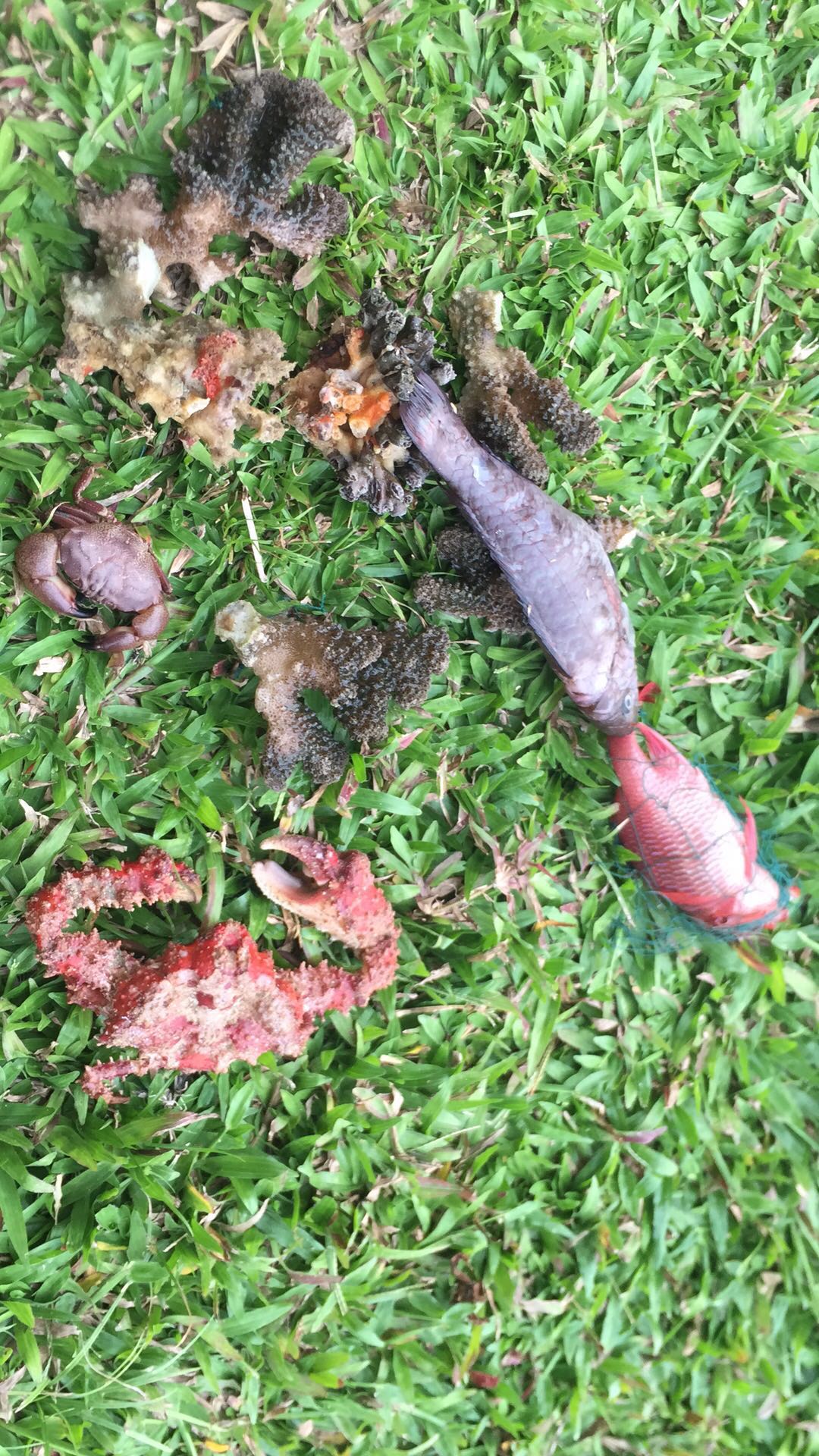
I have debris data to report
4
0
0
Smooth (wavelets) for waves 0.1 - 0.5 meter high
0
0
0
0
0
0
0
0
m2


0
0
meters
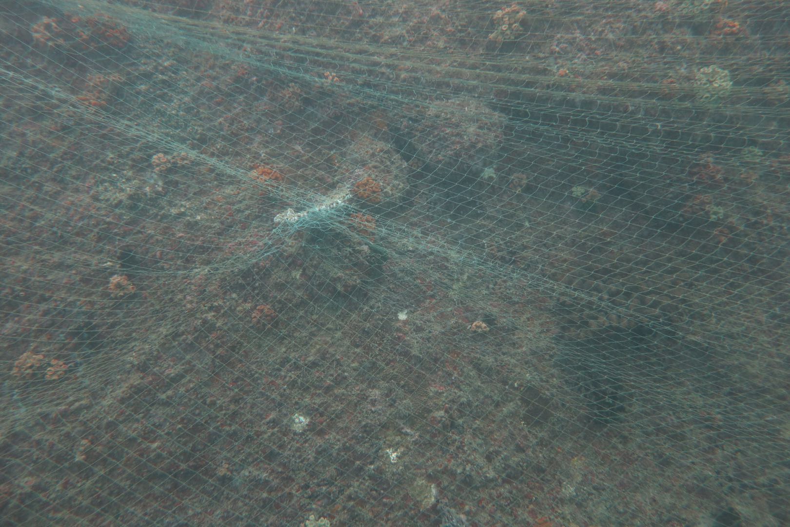
rocky reef
2
0
0
0
0
2
0
0
1
0
0
0
0
3
0
7
16
0
0
2
0
0
0
0
1
3
2
0
State\Province
NSW
City
Tweed Heads
Map Help
Dive Location
If you know your survey site coordinates, enter them manually in decimal degrees using WGS84 Map Datum. Use the minus sign for latitudes south of the equator and longitudes west of the Prime Meridian to 180 degrees.
If you do not know your survey site coordinates, click the “Map Location” tab to use the map to zoom into your survey site and drop the pin on the map to fall within your survey dive site in the water (not on land or the beach). Ensure you zoom in as much as possible to ensure data accuracy.
Entangled Help