Dalyan Kanal & Koycegiz Lake Kordon
silt

 Turkey
36.834712658621, 28.641091541519
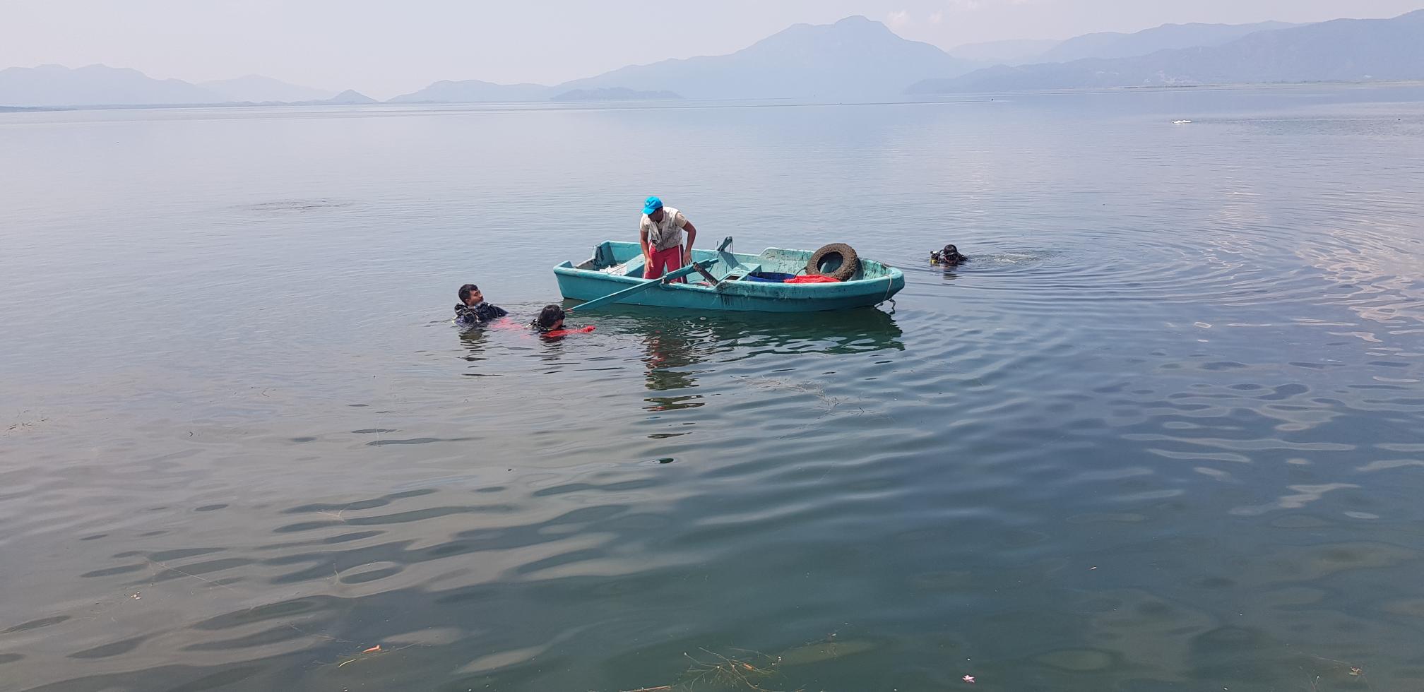
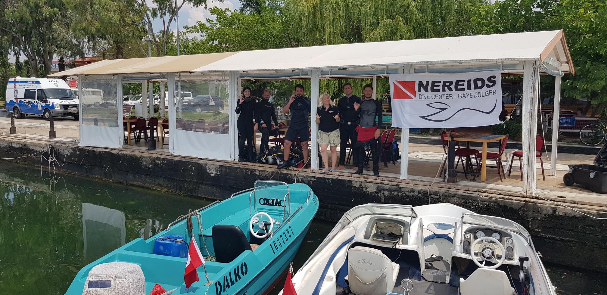
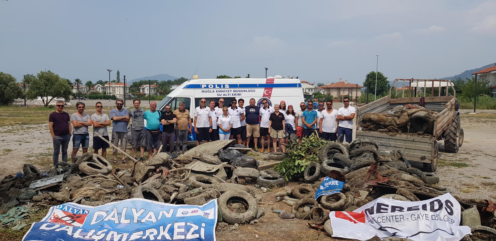
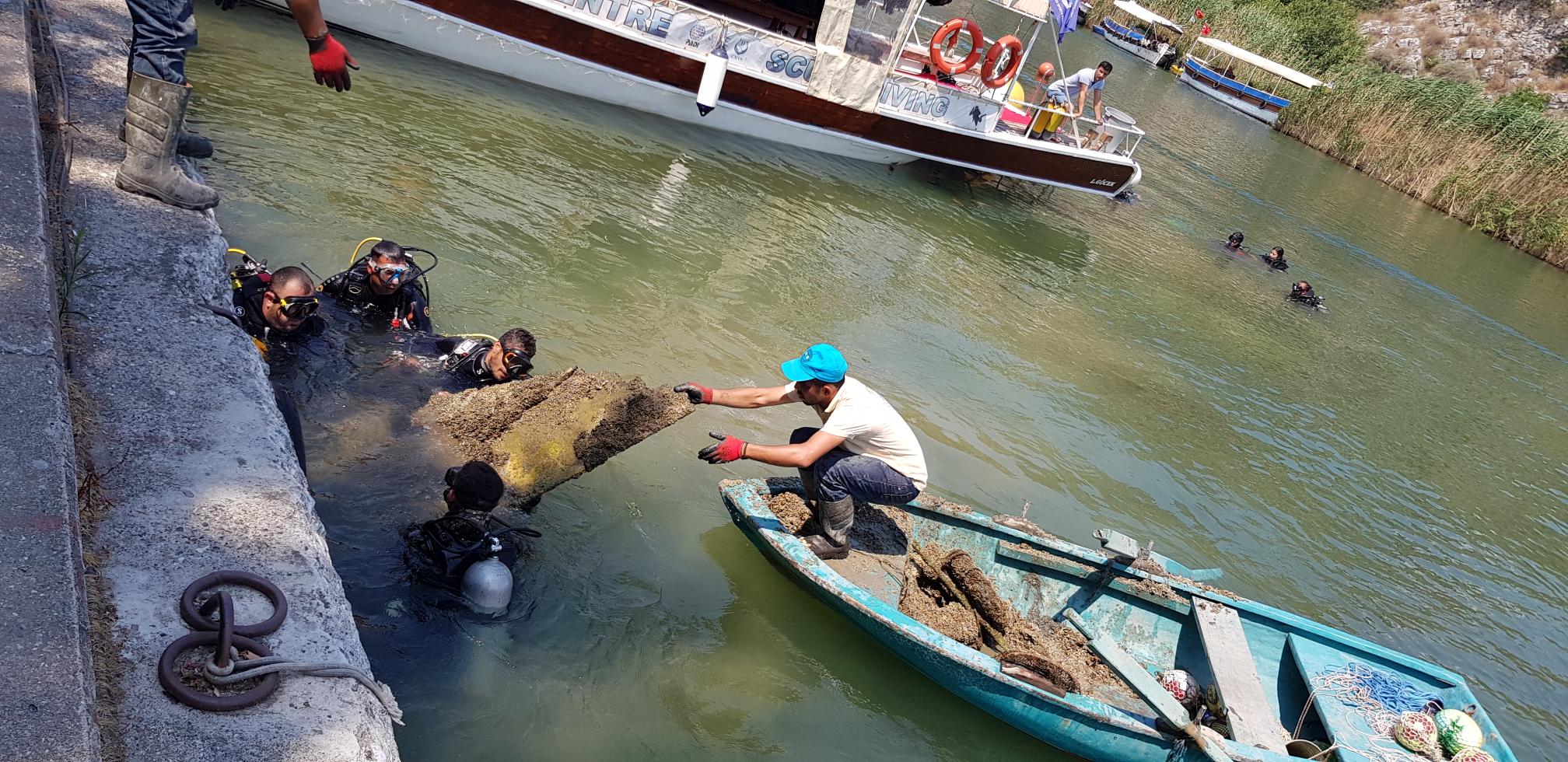
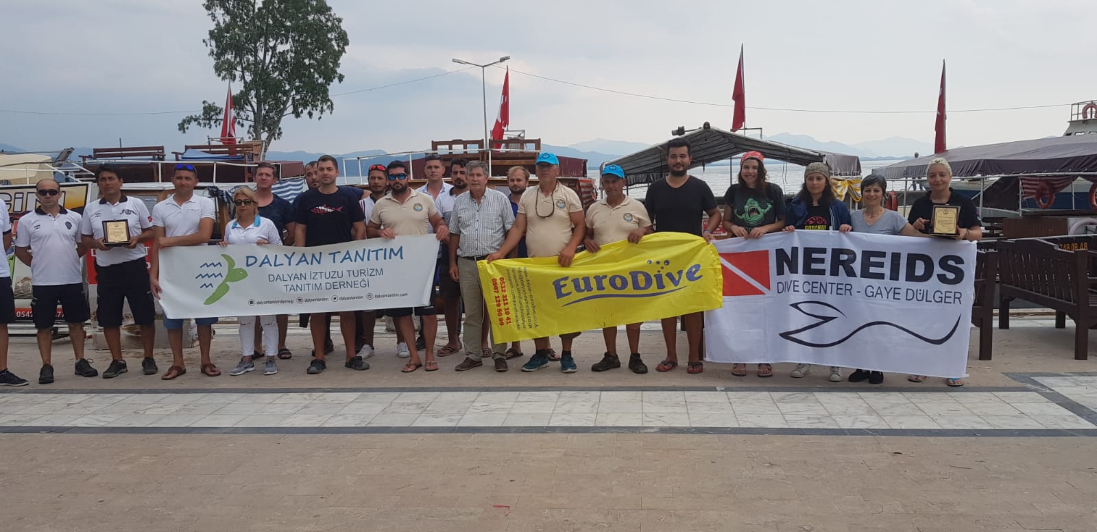
Under the coordination of Nereids Dive Center and SS Dalko Dalyan Aquaculture Cooperative, an underwater cleaning operation was carried out on June 17-18th in Dalyan Canal and on June 19th in Köyceğiz Lake Kordon. In the first organization 30 divers and police divers team and in the second organization 20 divers and police divers teams participated to the operation. Dalyan DC provided logistic support to the whole organization for 3 days and Euro Dive DC was also found during the last day dives.
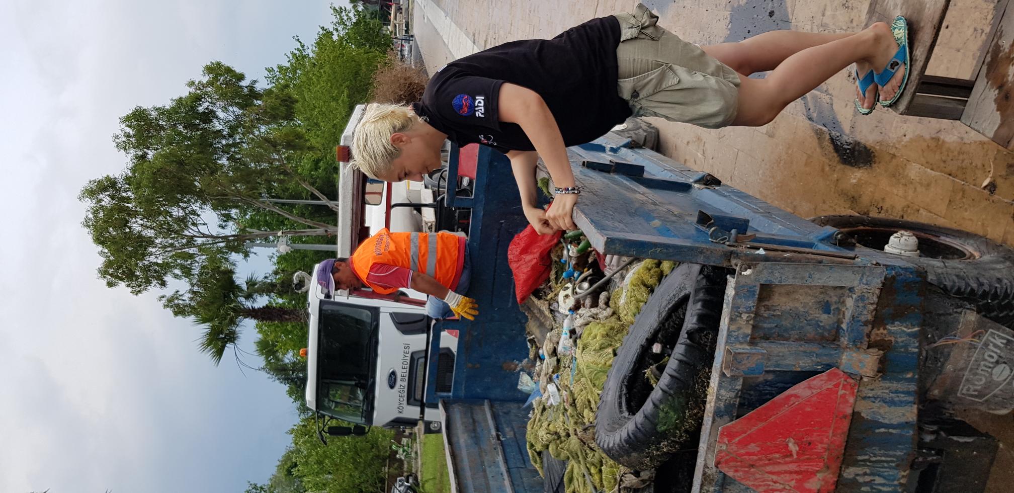
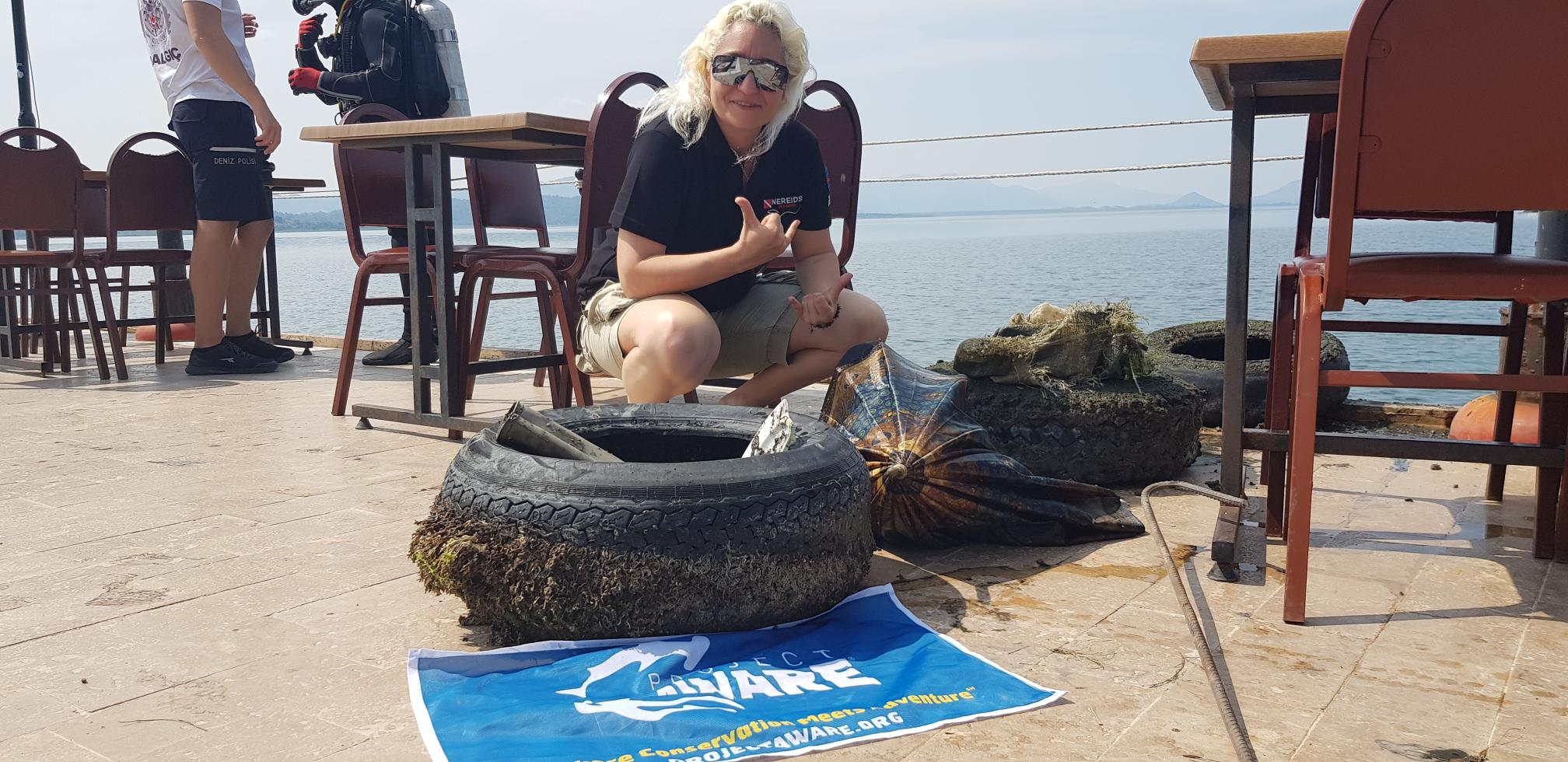
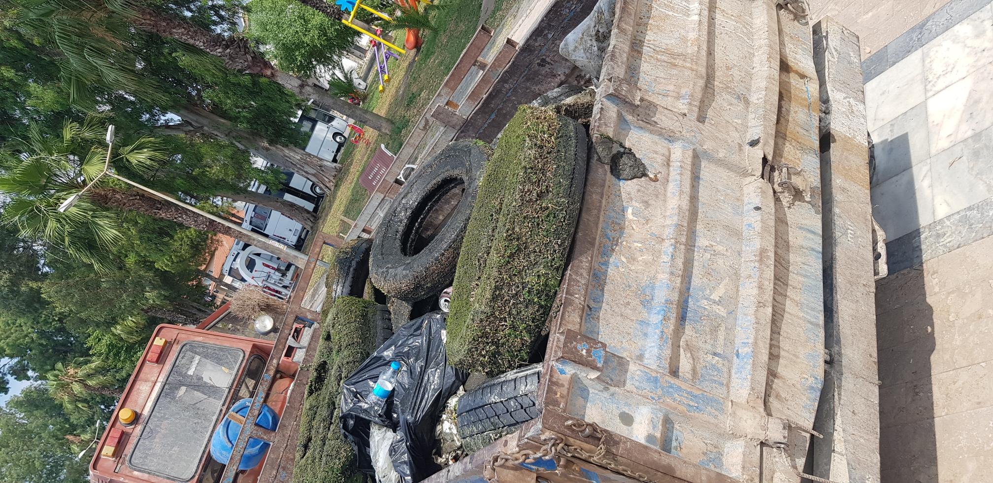
In the organization with approximately 4 hours of diving per day, 12 km of underwater lane was cleaned and a total of 14 tractor trailer full of waste was removed. 8 out of 10 trailers from Dalyan and 2 out of 4 trailers from Köyceğiz are filled with tires.
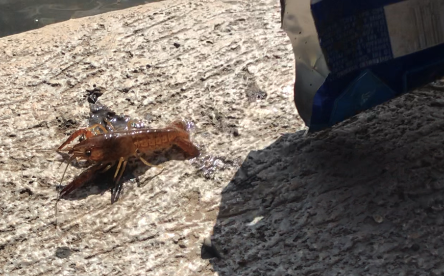
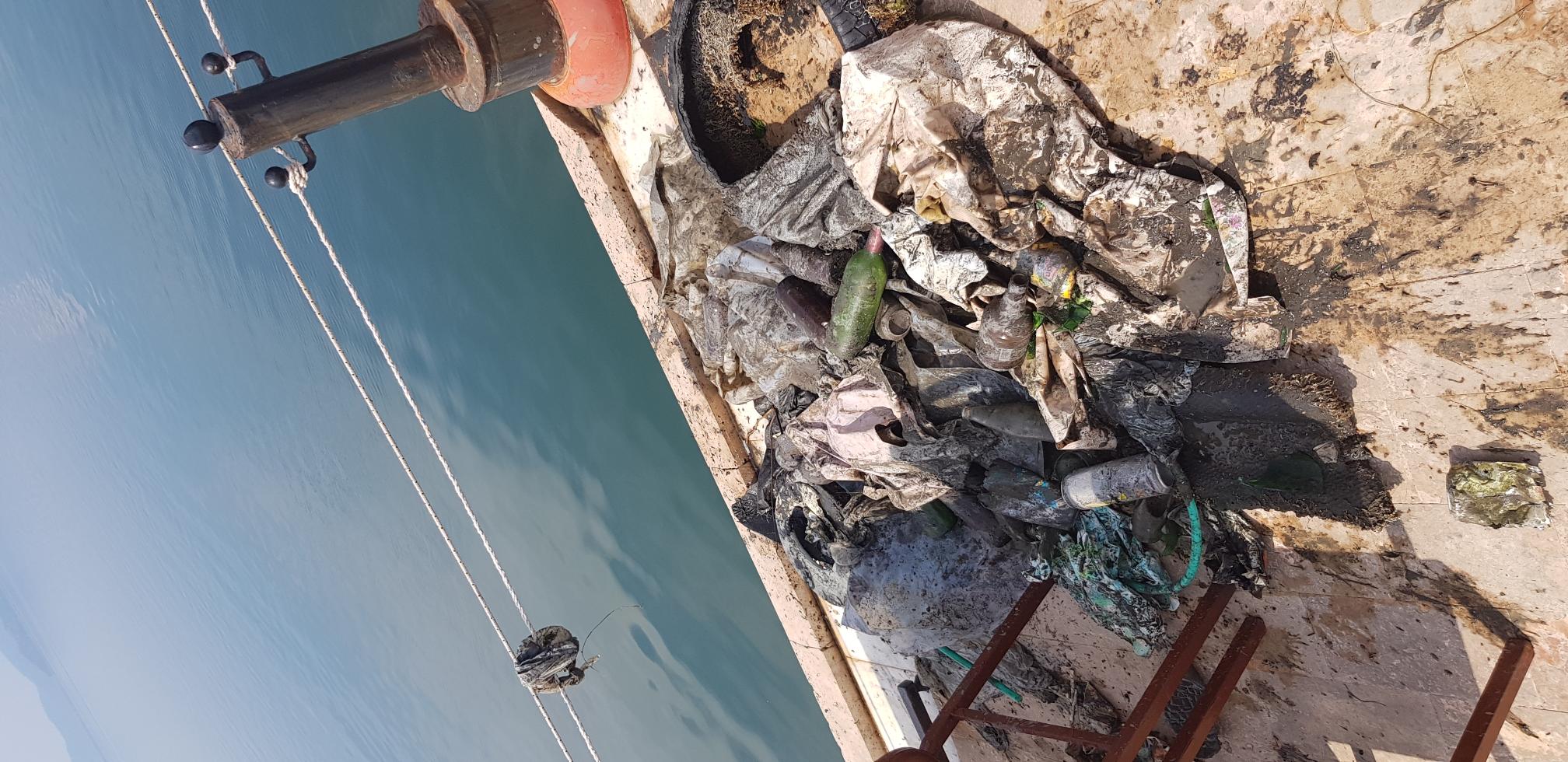
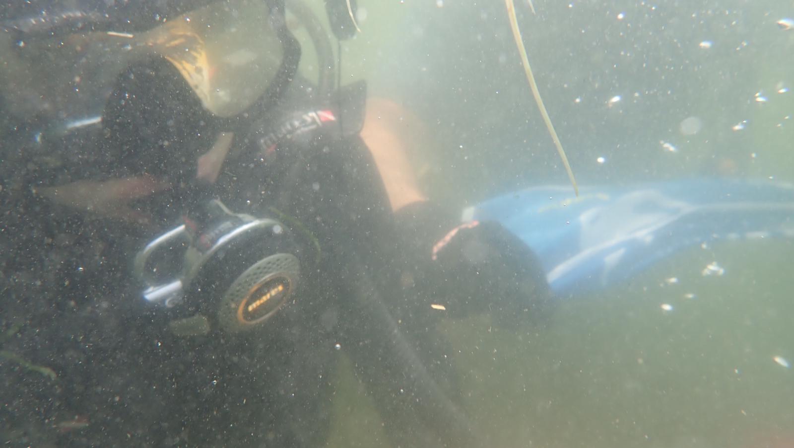
The operation was 2-6 meters deep and was carried out in fresh water, open weather in the first two days, rainy and overcast weather in the last day. Underwater vision was very low due to silt ground. Since the boats are parked in these areas, the tires used instead of fenders cause this pollution and create waste.
With regular cleaning operations and warning of the boats, it will be possible to clean the underwater and the visibility will be clear for meters soon.
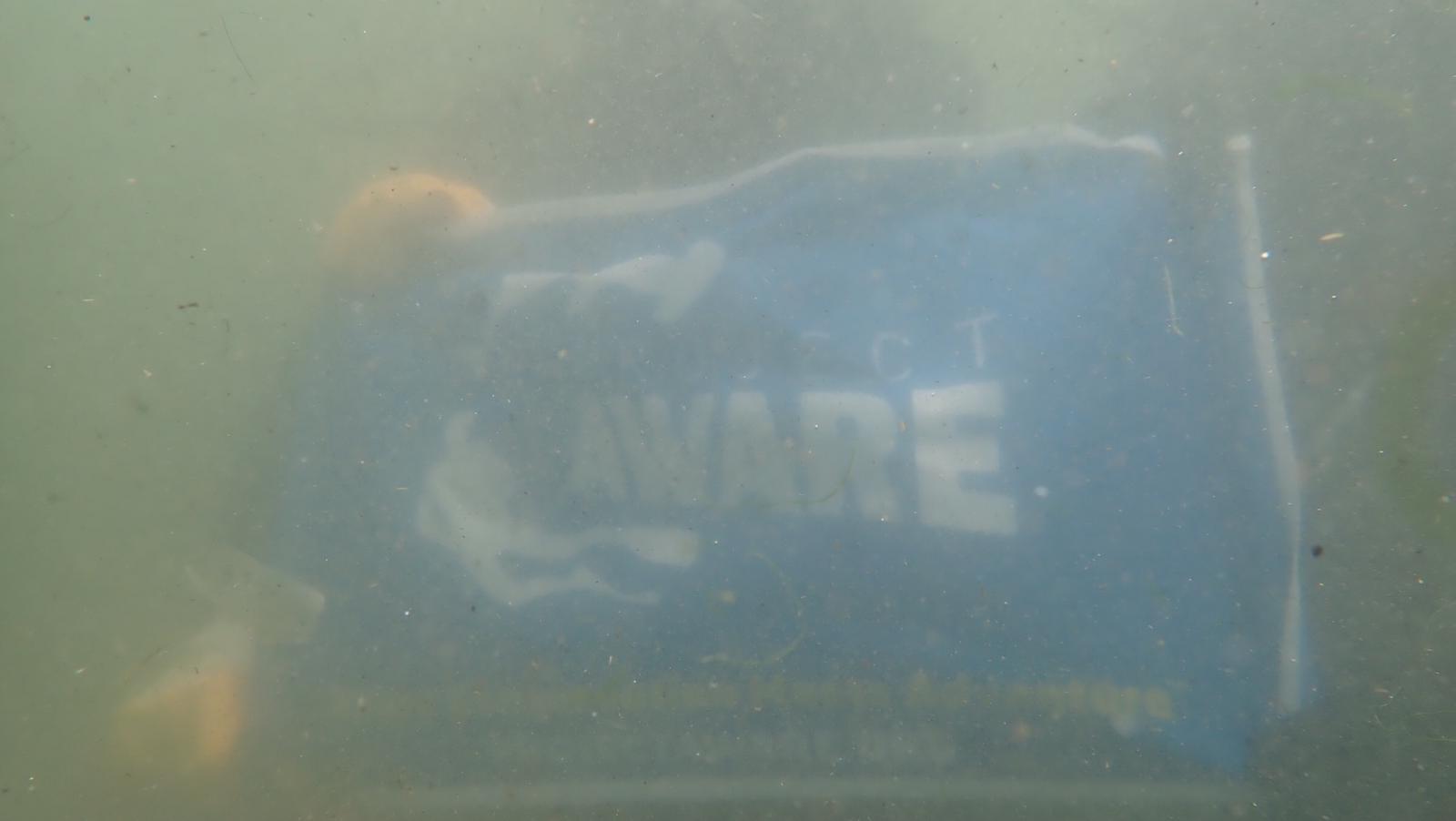
As Nereids Dive Center, on behalf of Project Aware Organization, we would like to thank to all divers and institutions participating in this organization.
In the organization with approximately 4 hours of diving per day, 12 km of underwater lane was cleaned and a total of 14 tractor trailer full of waste was removed. 8 out of 10 trailers from Dalyan and 2 out of 4 trailers from Köyceğiz are filled with tires.
The operation was 2-6 meters deep and was carried out in fresh water, open weather in the first two days, rainy and overcast weather in the last day. Underwater vision was very low due to silt ground. Since the boats are parked in these areas, the tires used instead of fenders cause this pollution and create waste.
With regular cleaning operations and warning of the boats, it will be possible to clean the underwater and the visibility will be clear for meters soon.
As Nereids Dive Center, on behalf of Project Aware Organization, we would like to thank to all divers and institutions participating in this organization.
Since the boats are parked in these areas, the tires used instead of fenders cause this pollution and create waste.
Tires
open weather in the first two days, rainy and overcast weather in the last day
Nereids Dive Center
Gaye Dulger
40
700.00
60
6.00
2.00
estimated
12000.00
Tires
Plastic bottles
Metals
On
kilograms
I have debris data to report
Slight for waves 0.5 -1.25 meter high
m2
meters
other
City
Mugla
Map Help
Dive Location
If you know your survey site coordinates, enter them manually in decimal degrees using WGS84 Map Datum. Use the minus sign for latitudes south of the equator and longitudes west of the Prime Meridian to 180 degrees.
If you do not know your survey site coordinates, click the “Map Location” tab to use the map to zoom into your survey site and drop the pin on the map to fall within your survey dive site in the water (not on land or the beach). Ensure you zoom in as much as possible to ensure data accuracy.
Entangled Help
Use the vertical tabs below to record any entangled animals you found of each type.
Ecosystem Other
Freshwater