Gord Downie Pier
6
25
4
1
silt
6
9
44.220406646749, -76.5018119663
Hide a bed sofa
cloudy
6
2
2
12
1
metal shopping cart
jewels
Apple watch
Hair ties
Dumpster cart
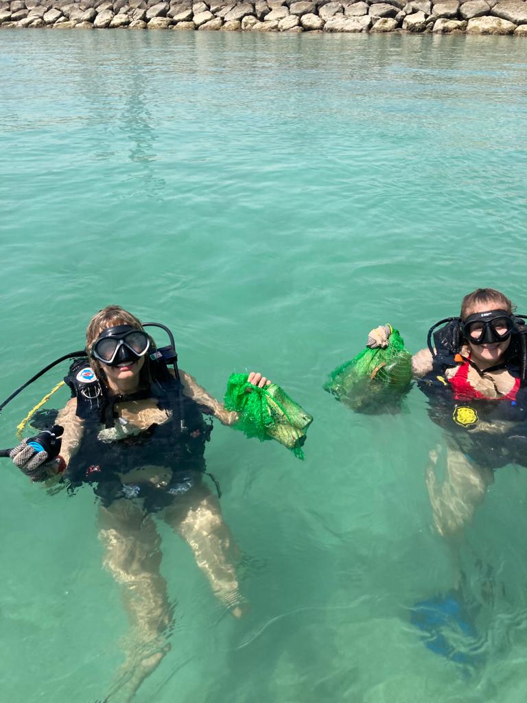
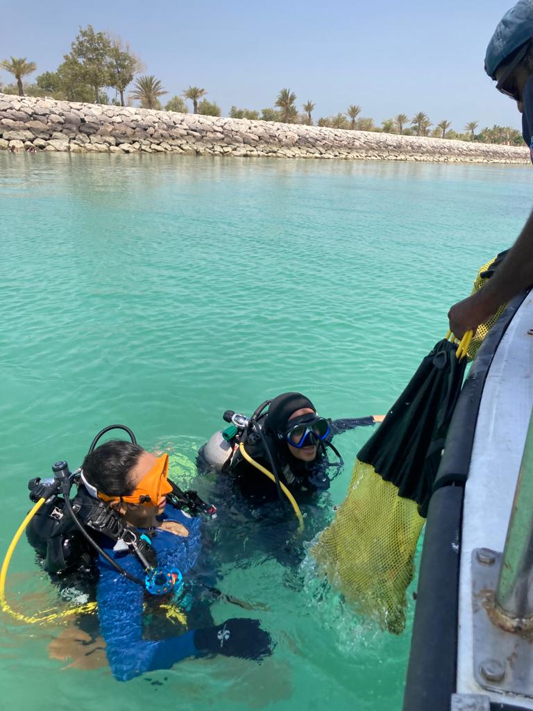
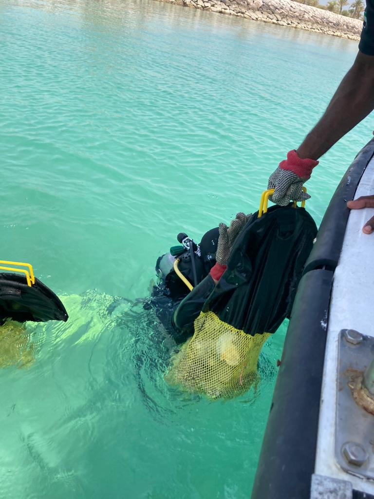
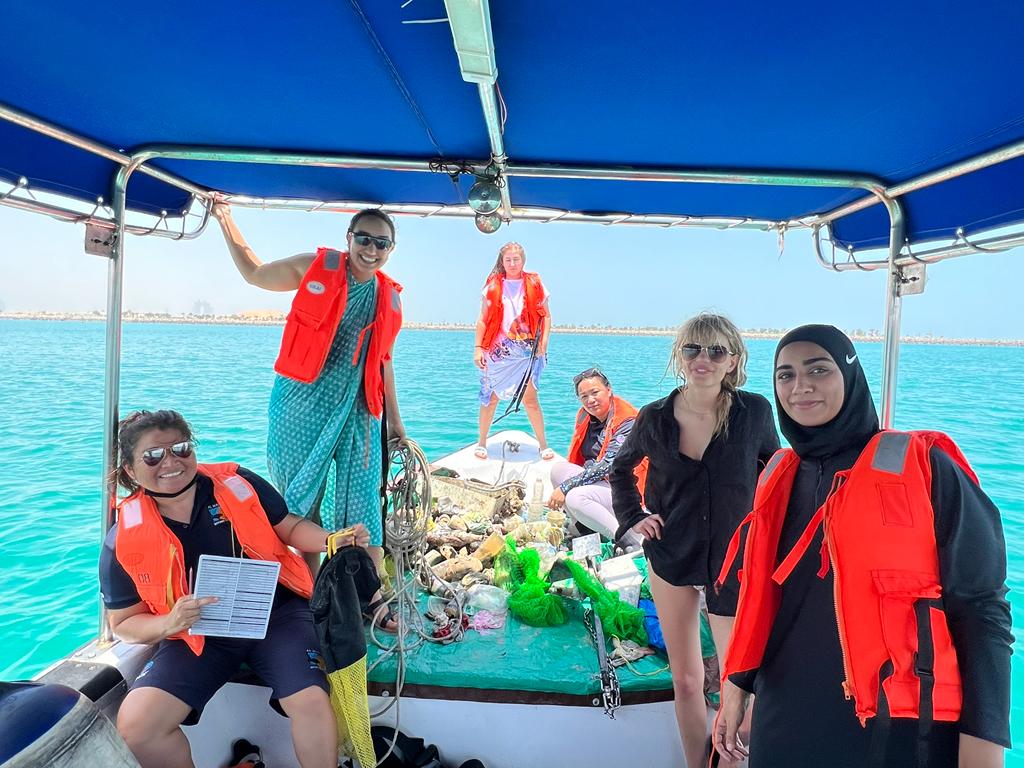
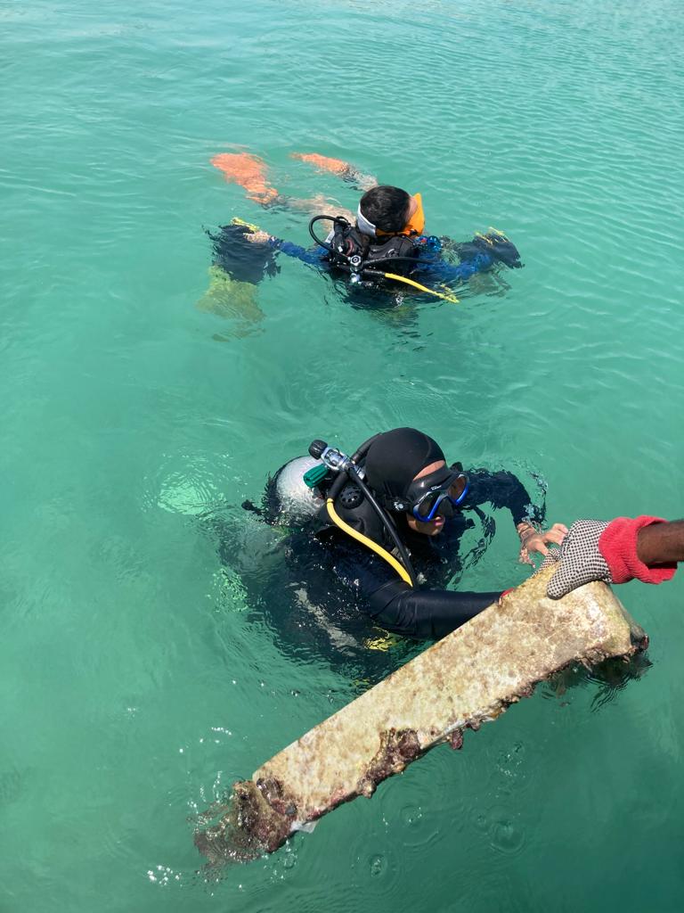
Neptune and Salacia Diving
Martine Roux / Guillaume Courcy
1
2
1
1
1
2
8
45
1
6
7
2
1
5
2
10
4
803.70
60
30.00
10.00
1
measured
64505.80
8
2
14
On
kilograms
I have debris data to report
107
6
Calm (glassy to rippled) for waves 0 – 0.1 meter high
1
2
10
1
ft2


5
feet
rocky reef
18
30
1
13
5
36
4
1
1
3
3
7
17
12
21
3
State\Province
Ontario
City
Kingston
Map Help
Dive Location
If you know your survey site coordinates, enter them manually in decimal degrees using WGS84 Map Datum. Use the minus sign for latitudes south of the equator and longitudes west of the Prime Meridian to 180 degrees.
If you do not know your survey site coordinates, click the “Map Location” tab to use the map to zoom into your survey site and drop the pin on the map to fall within your survey dive site in the water (not on land or the beach). Ensure you zoom in as much as possible to ensure data accuracy.
Entangled Help
Use the vertical tabs below to record any entangled animals you found of each type.
Ecosystem Other
Silt