
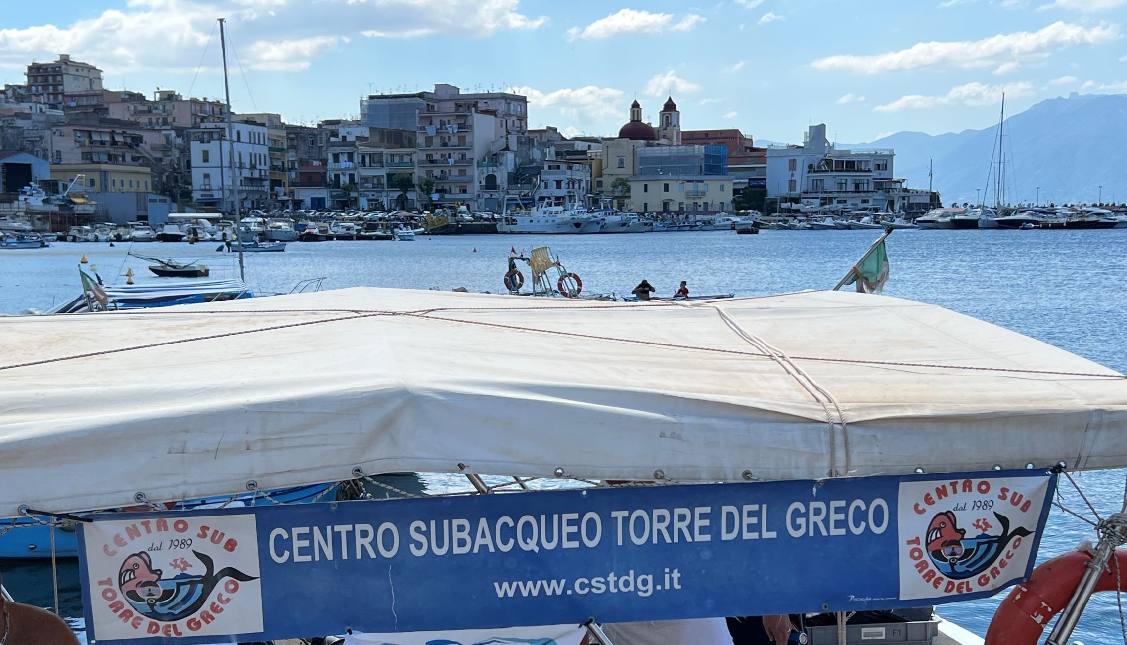
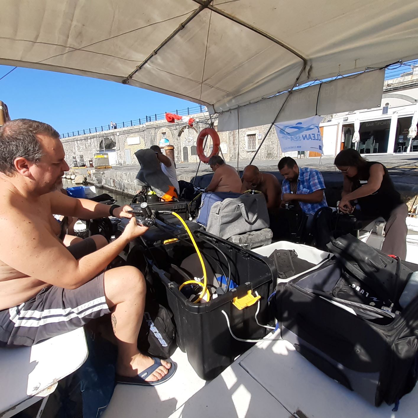
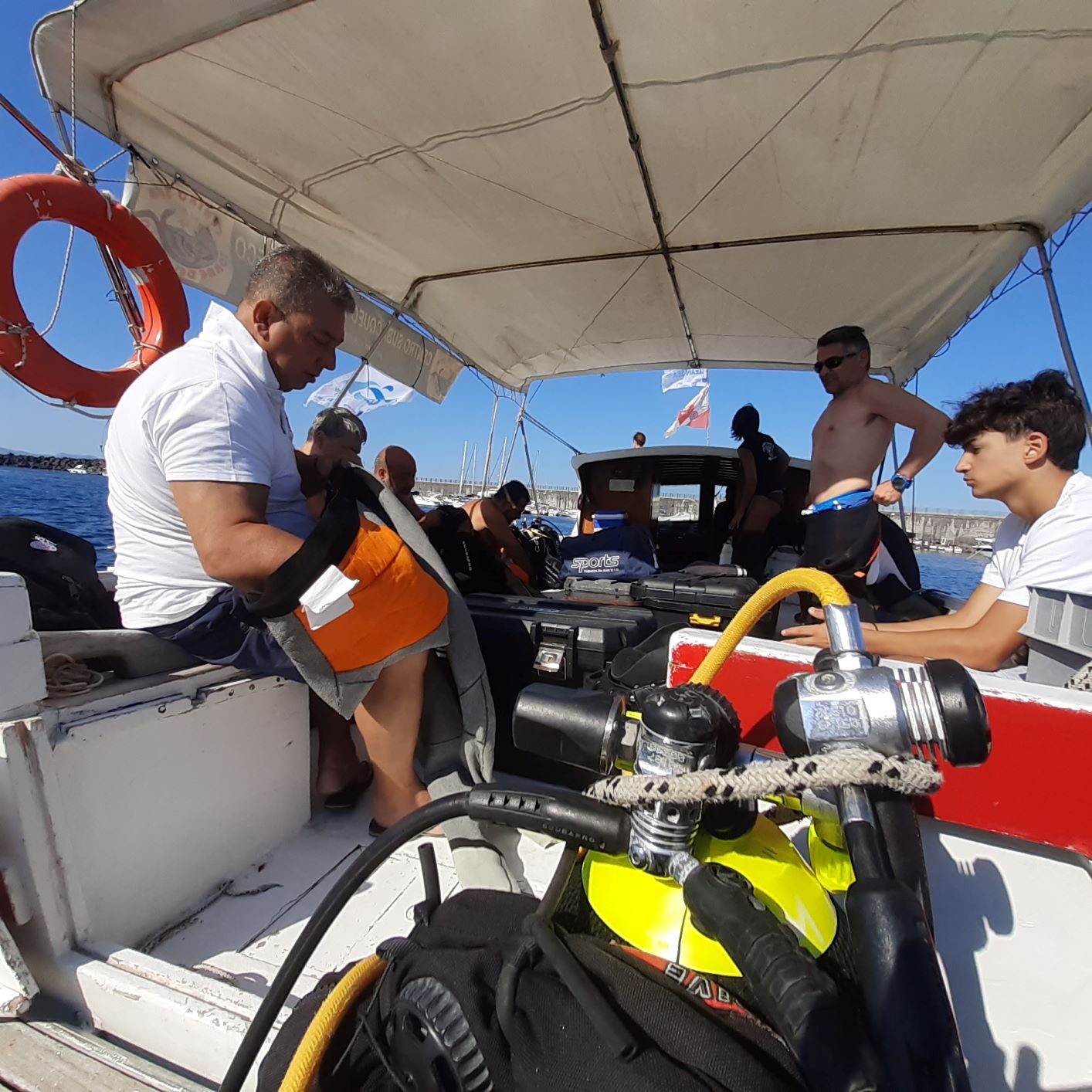
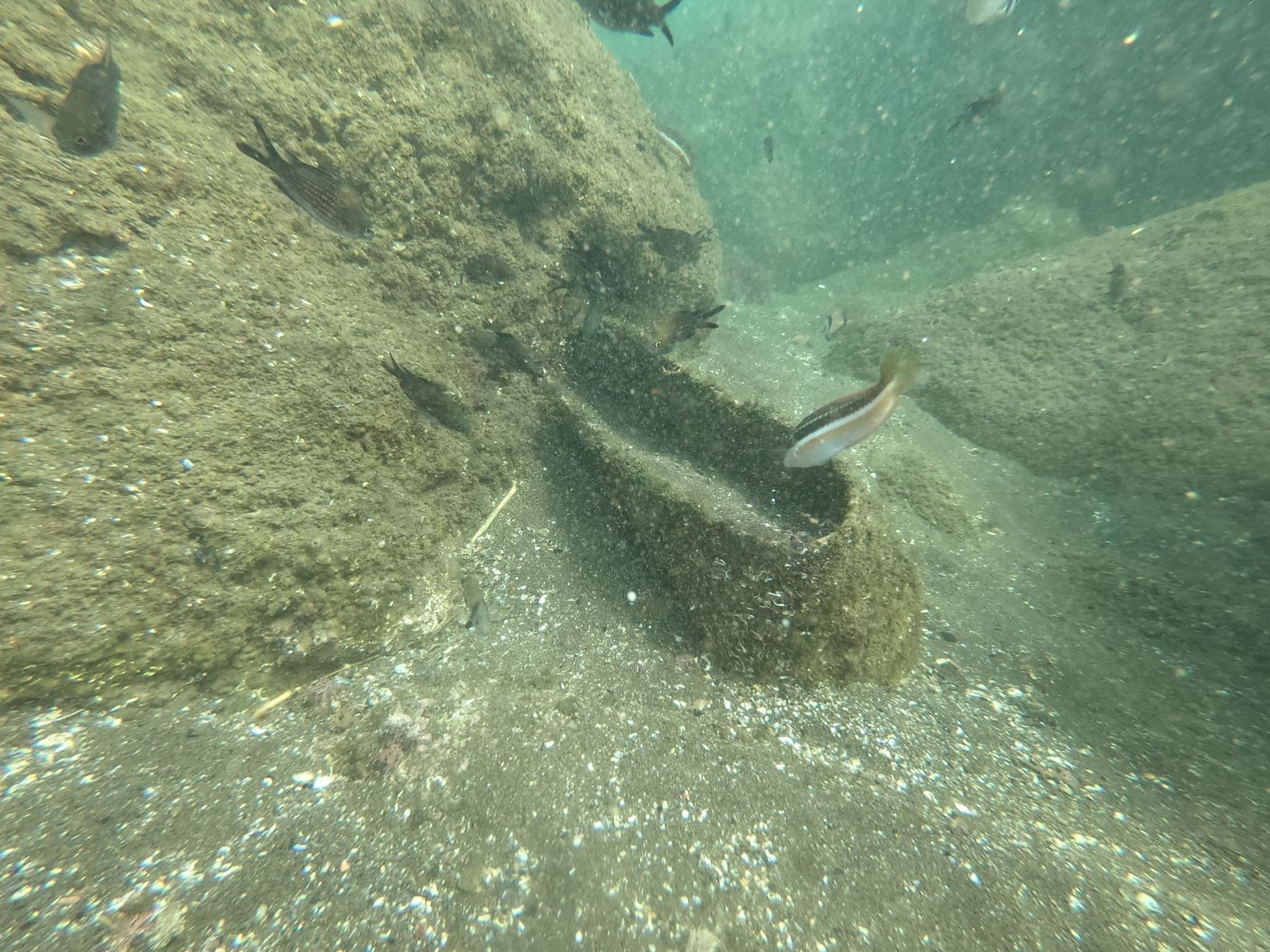
Pulizia Fondali specchio d'acqua La Scala Torre del Greco
40
1
sand
1
1
40.790508200344, 14.358067261189
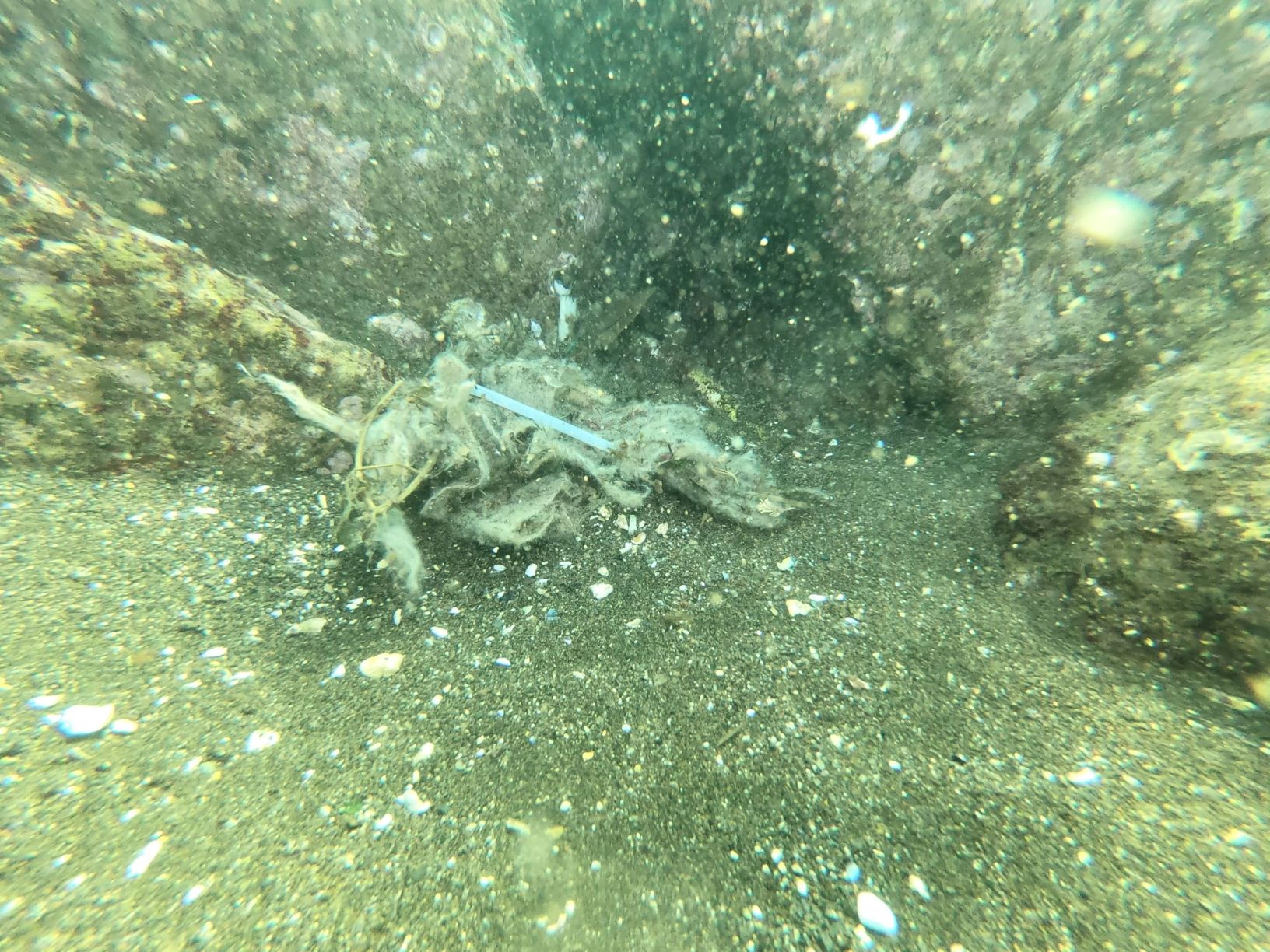
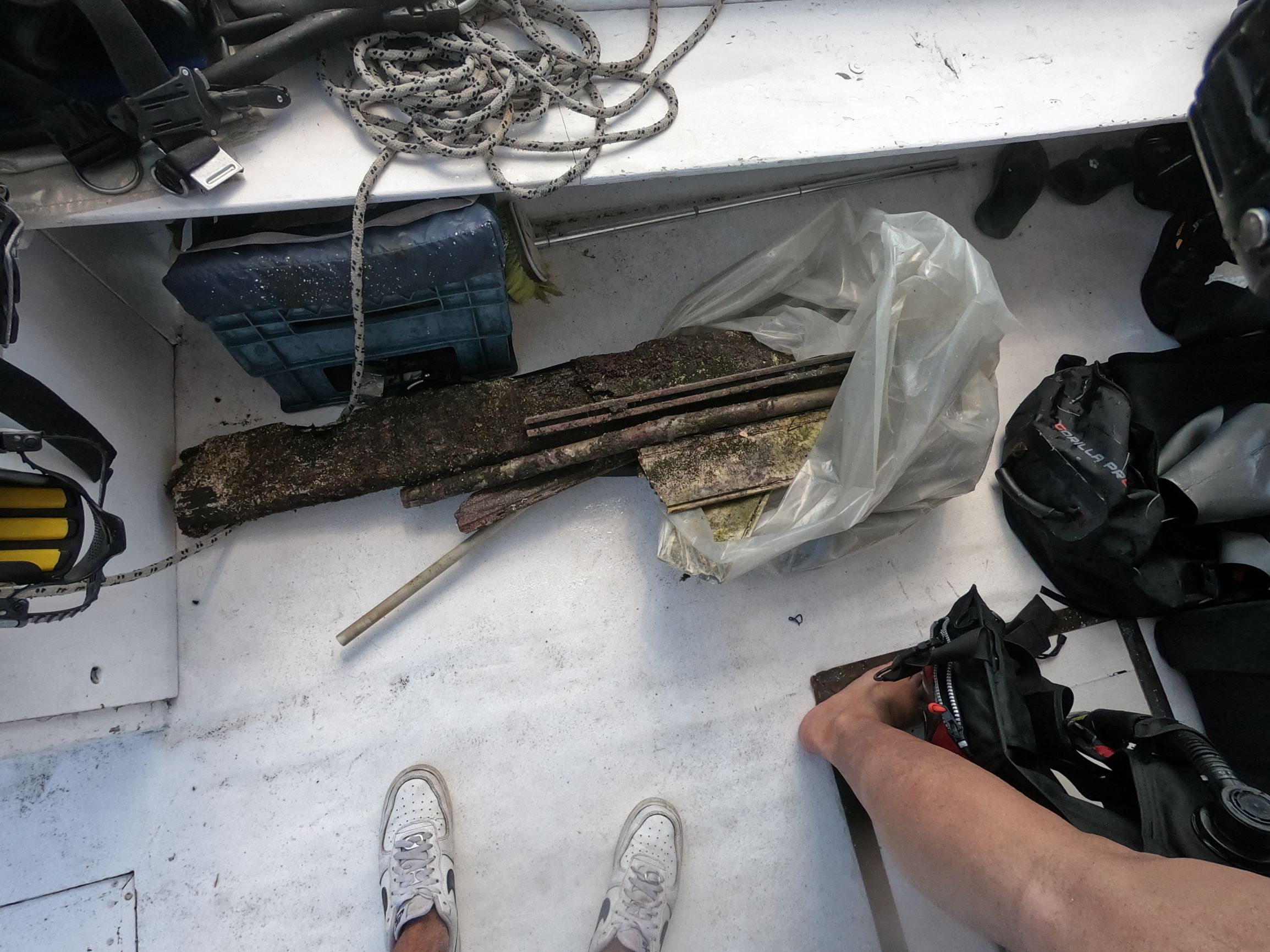
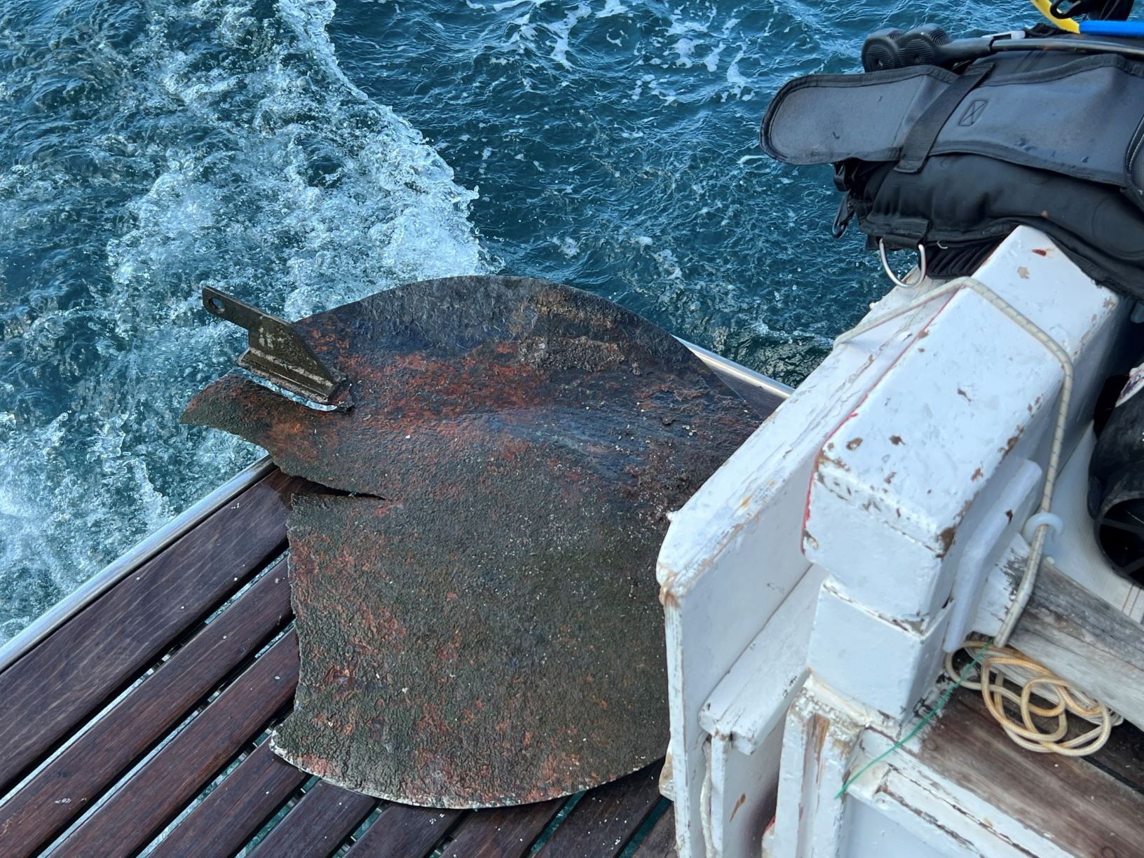
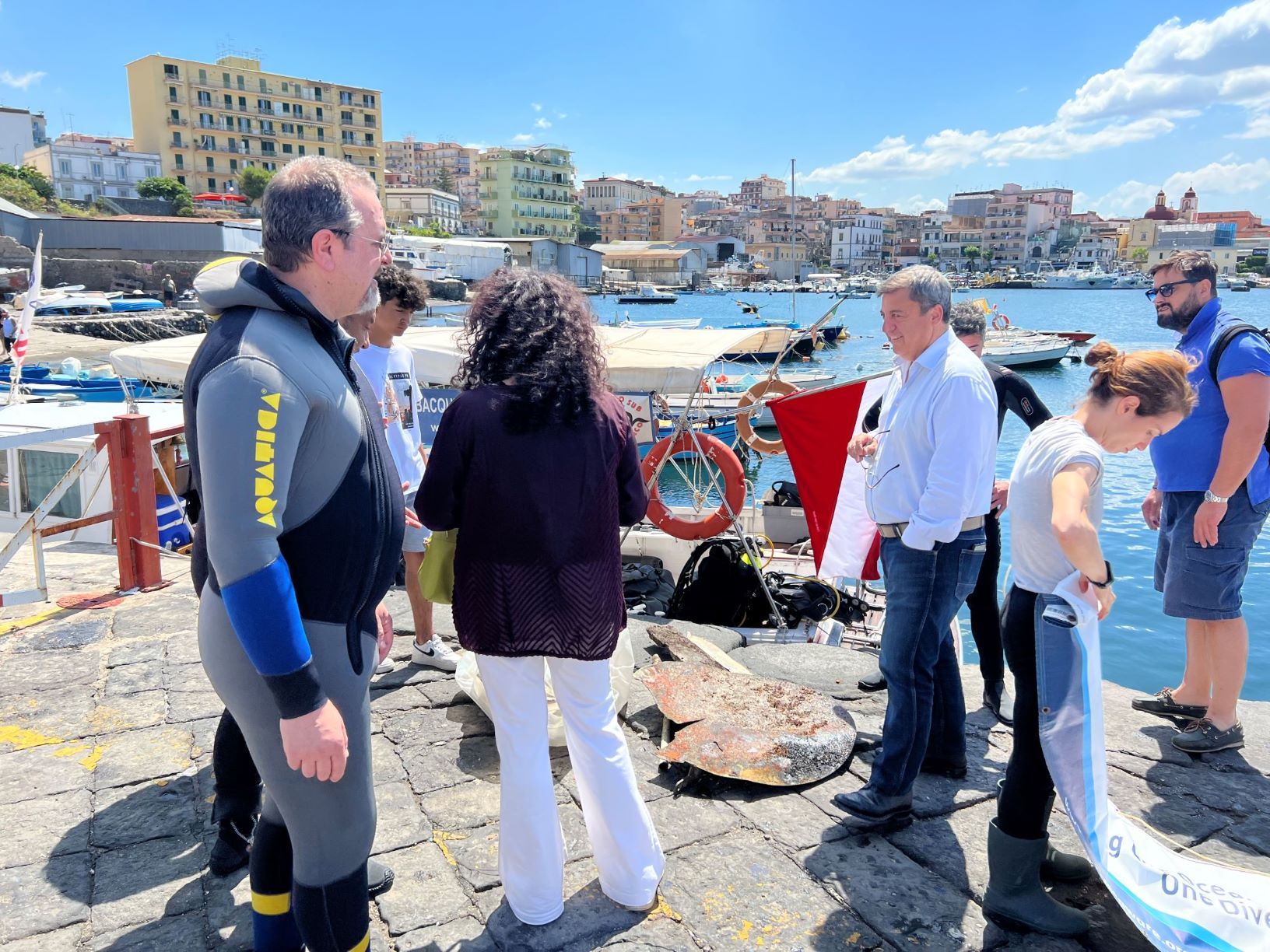
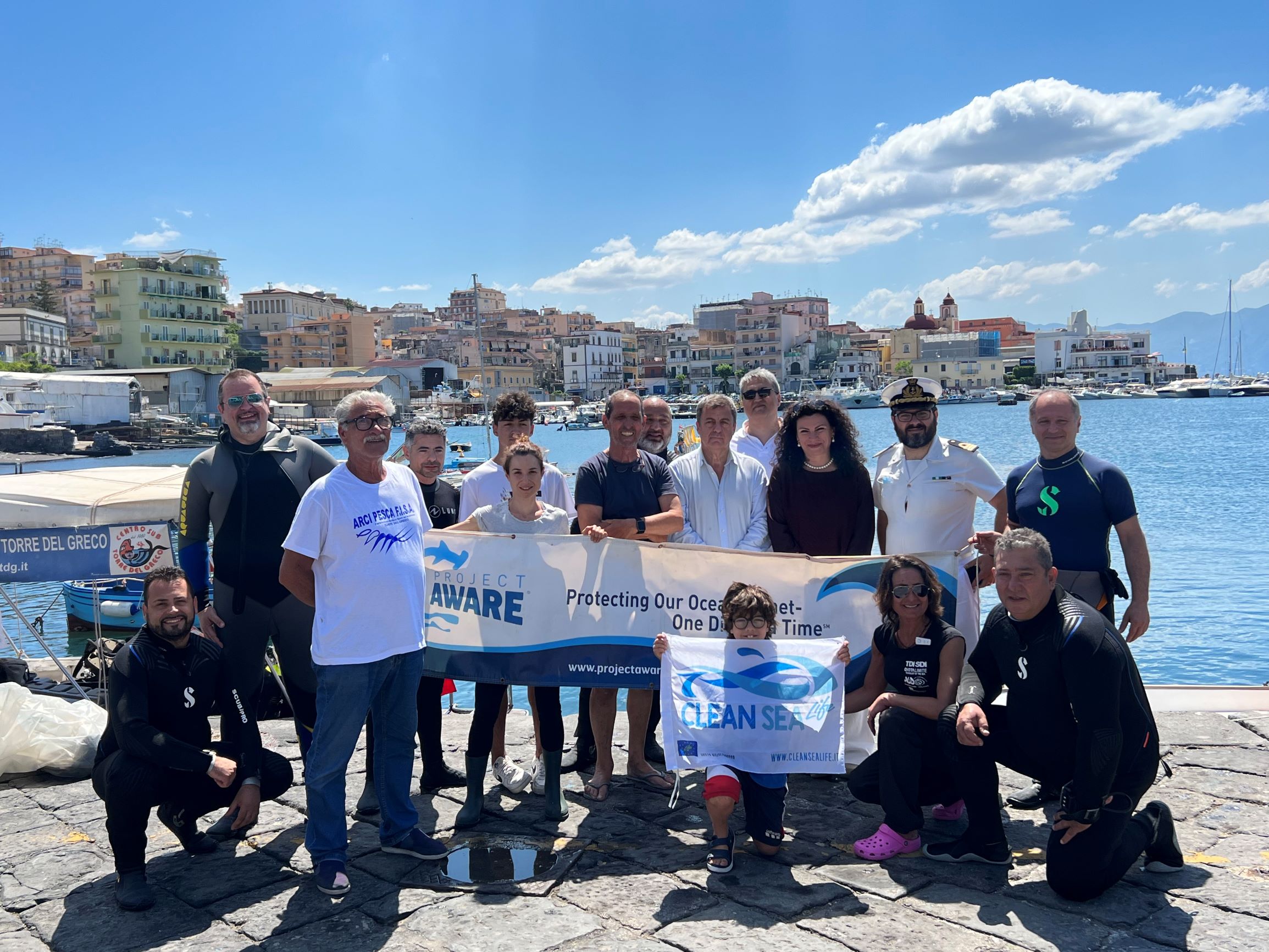
The 50 kg of all debris collected in this action is a very good outcome if we consider that 4 years ago in the same location were collected 120 Kg of waste.
(Plese refer to the Dive Against Debris Report of the 28th Oct 2018: https://www.diveagainstdebris.org/debris-data/pulizia-fondali-specchio-dacqua-la-scala-torre-del-greco)
(Plese refer to the Dive Against Debris Report of the 28th Oct 2018: https://www.diveagainstdebris.org/debris-data/pulizia-fondali-specchio-dacqua-la-scala-torre-del-greco)
8
1
1
1
Big pieces of plastic
Fishing leads
Fishing metal tool
Packaging for medicines
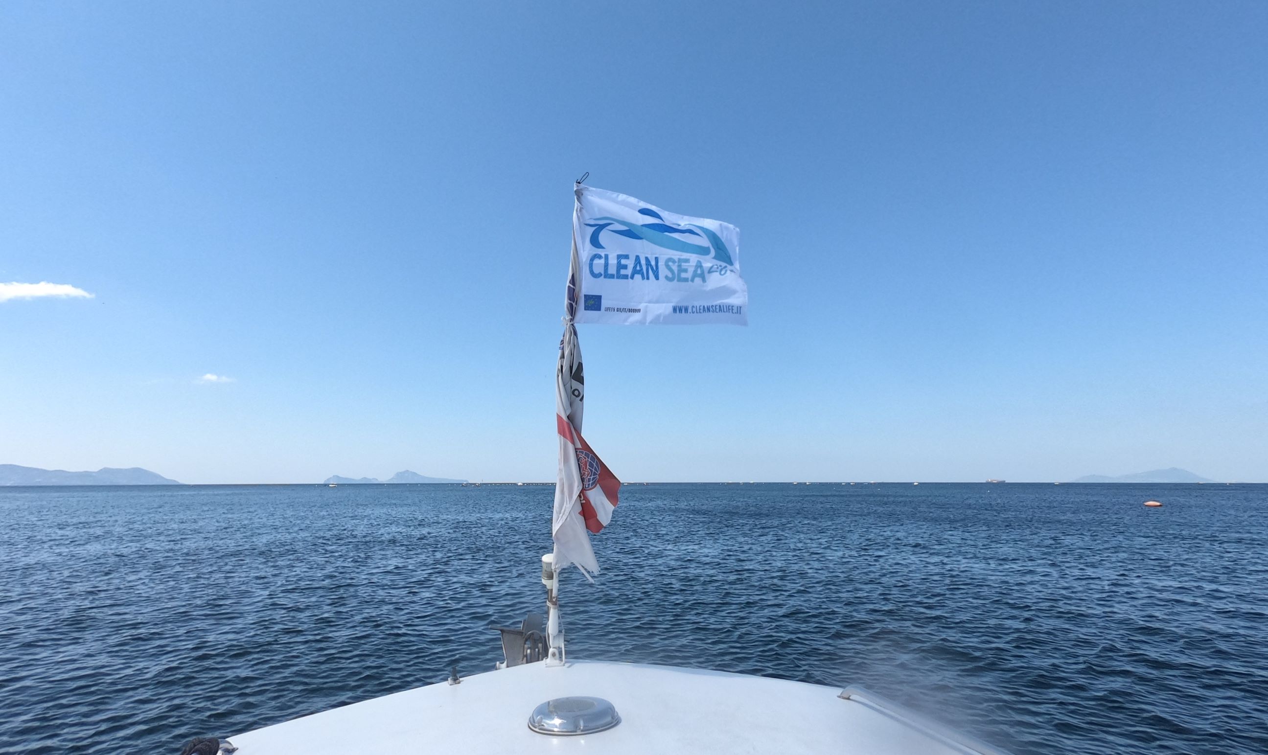
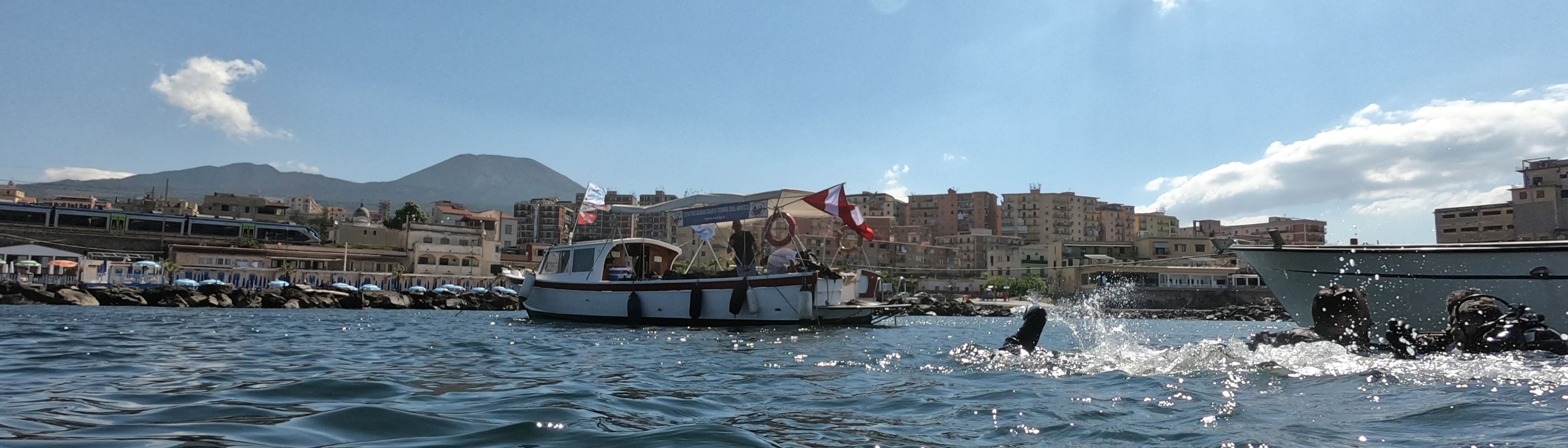
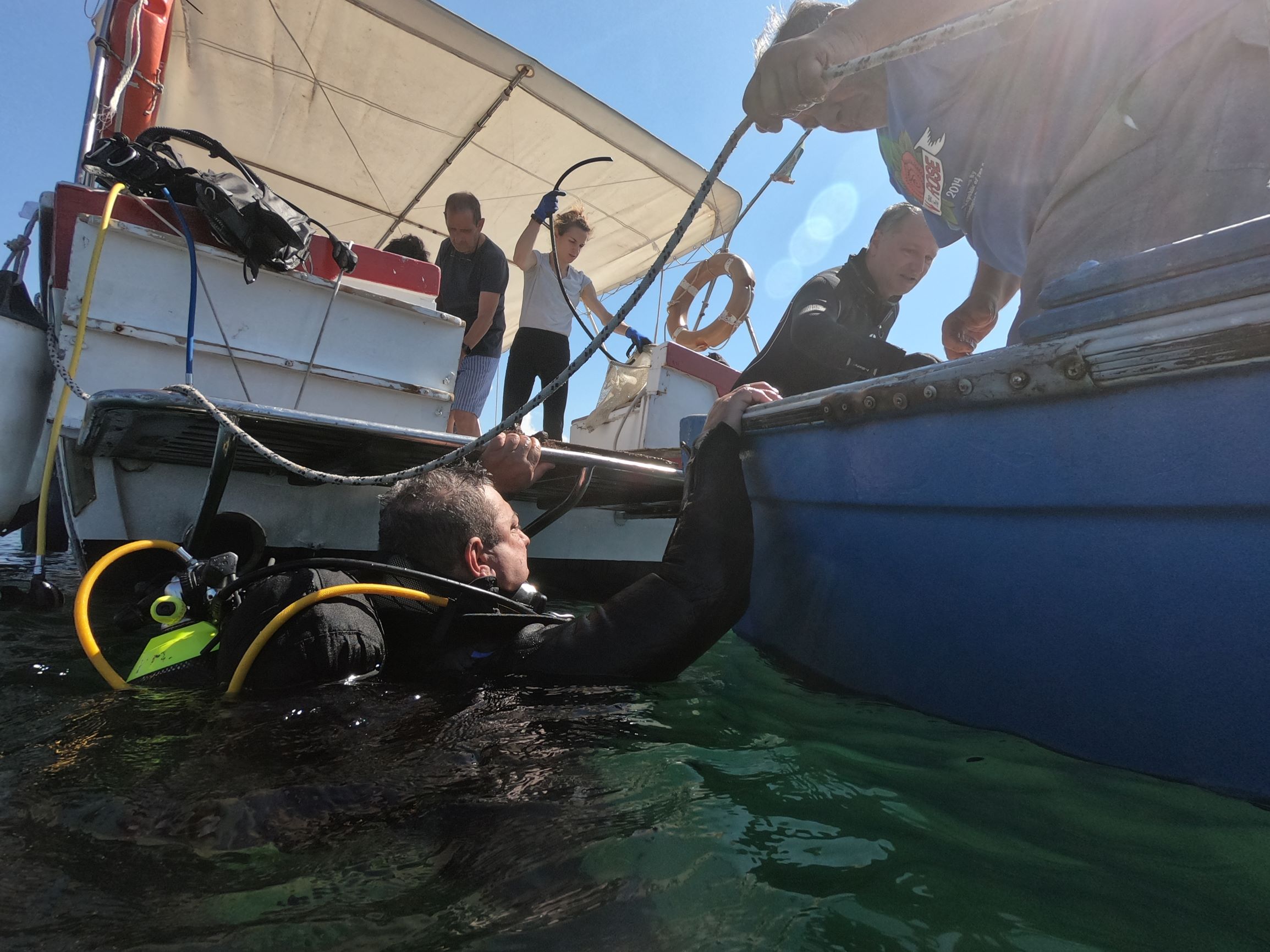
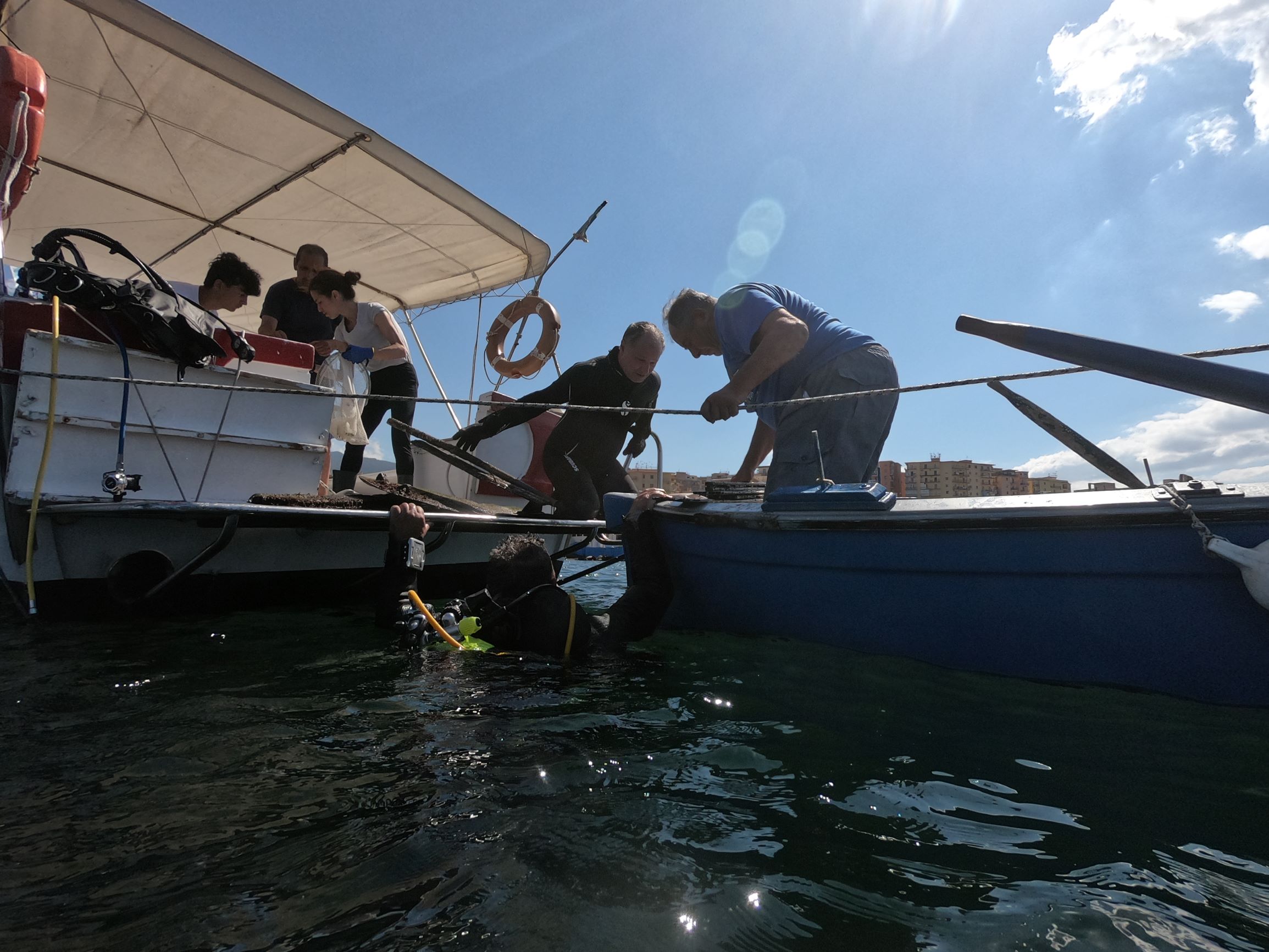
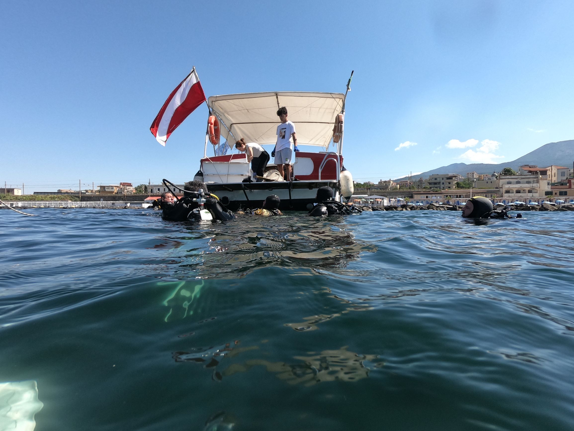
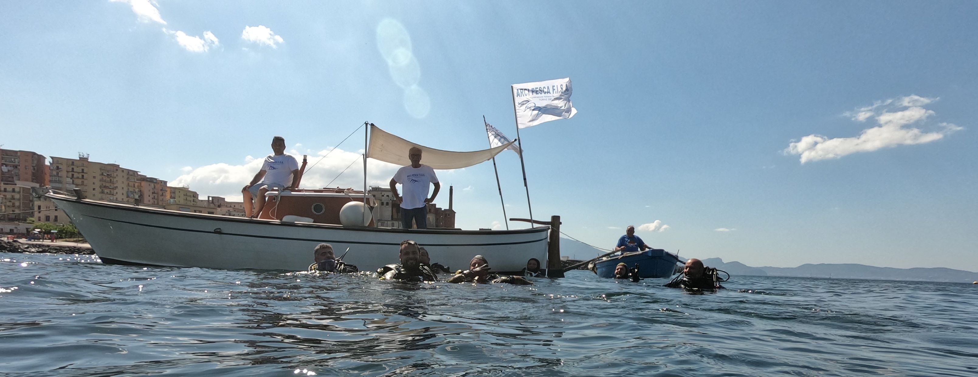
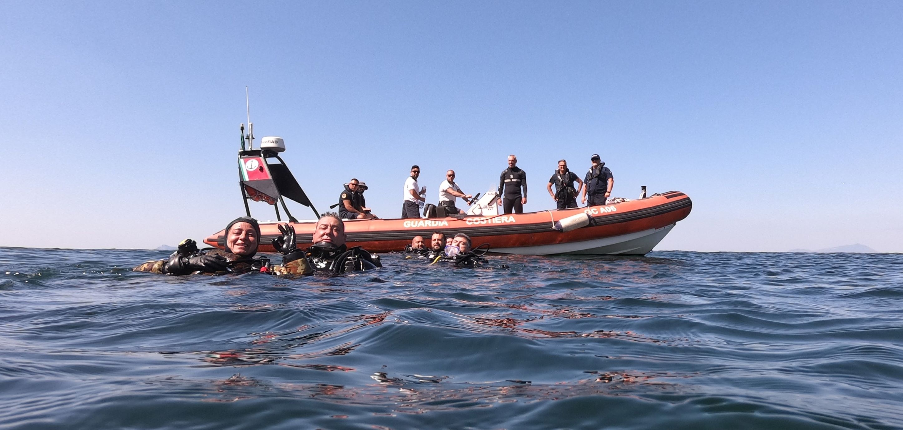
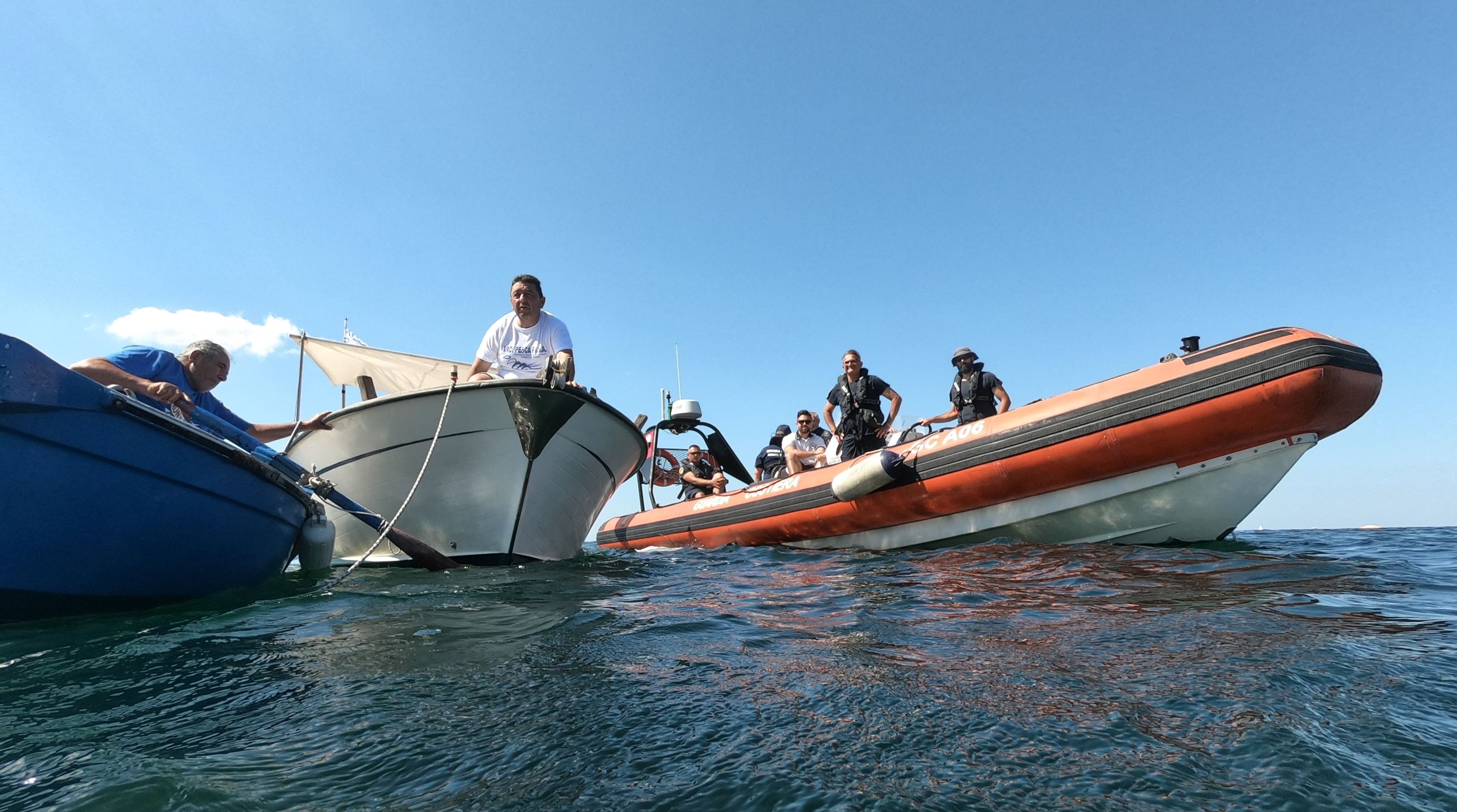
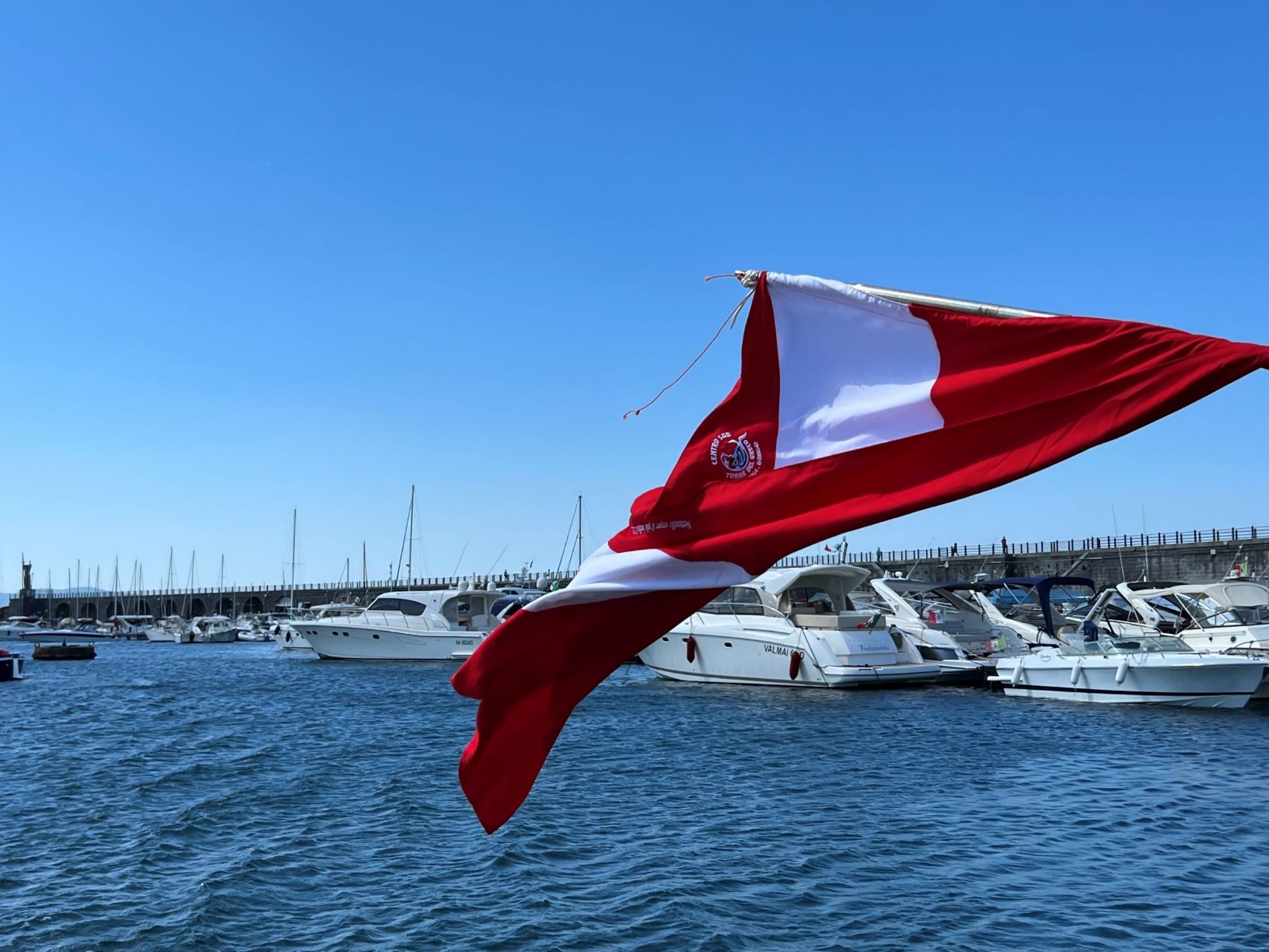
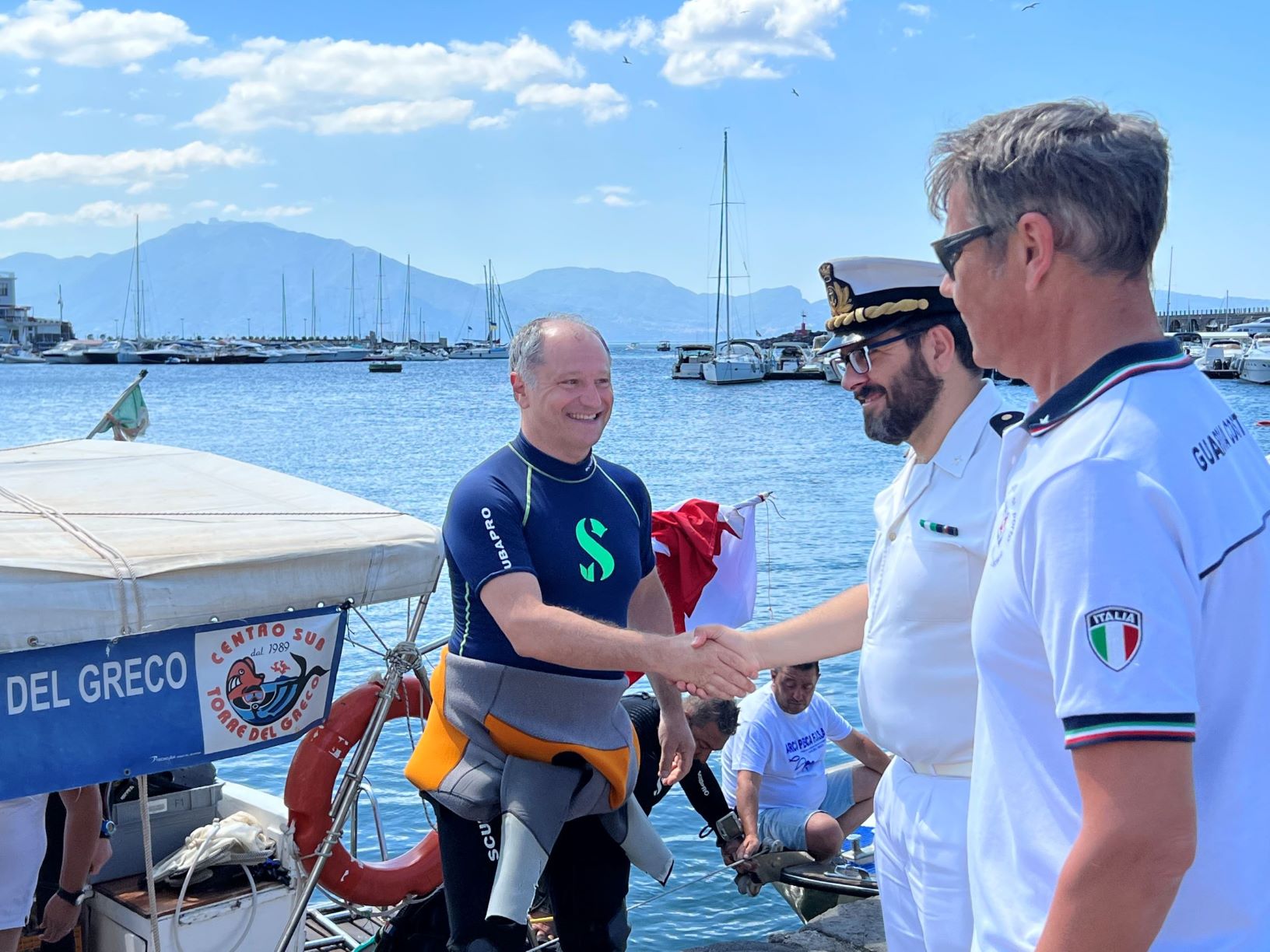
Evento "Noi e il Mare", pogetto Clean Sea Life, Guardia Costiera, Comune di Torre del Greco in collaborazione con Centro Subacqueo TDG e Arci Pesca FISA
Francesco Palomba
1
5
15
1
1
2
10
10
1
50.00
50
5.00
1.00
estimated
500.00
5
On
kilograms
I have debris data to report
1
Calm (glassy to rippled) for waves 0 – 0.1 meter high
20
20
1
m2
meters
other
10
State\Province
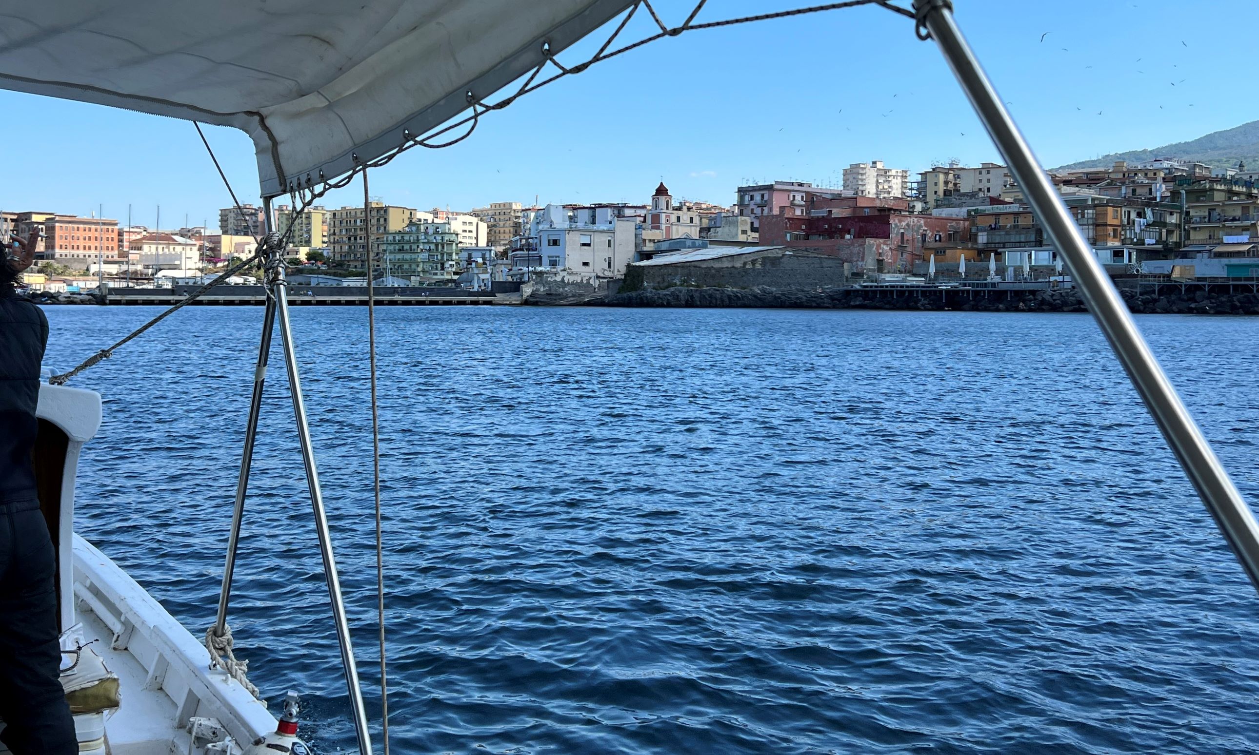
Napoli
City
Torre del Greco
Map Help
Dive Location
If you know your survey site coordinates, enter them manually in decimal degrees using WGS84 Map Datum. Use the minus sign for latitudes south of the equator and longitudes west of the Prime Meridian to 180 degrees.
If you do not know your survey site coordinates, click the “Map Location” tab to use the map to zoom into your survey site and drop the pin on the map to fall within your survey dive site in the water (not on land or the beach). Ensure you zoom in as much as possible to ensure data accuracy.
Entangled Help
Use the vertical tabs below to record any entangled animals you found of each type.
Ecosystem Other
Benthos


