
Livadia Paros island, Greece
6
sand
4
12
2
3
37.093021980227, 25.155181626988
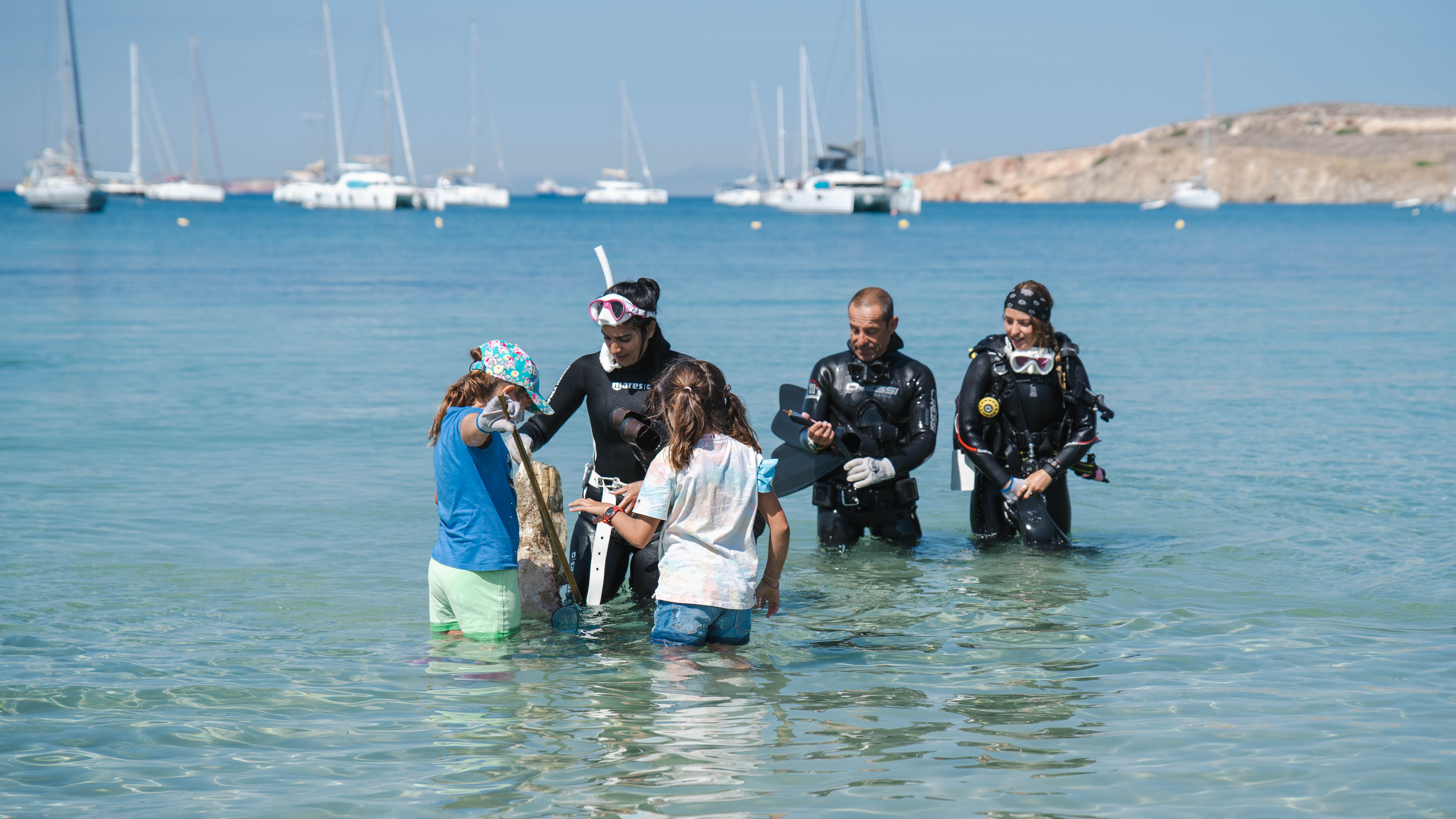
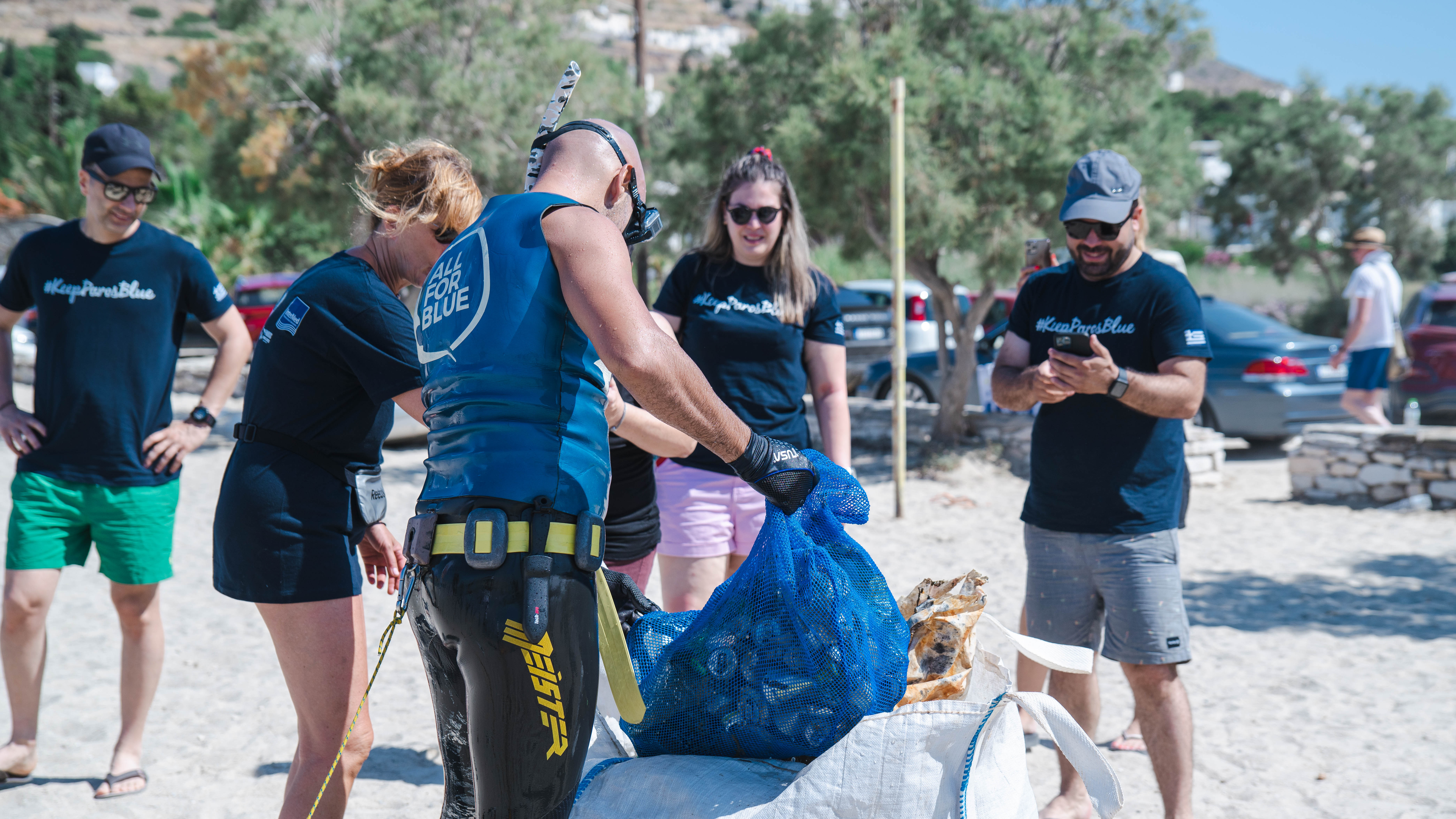
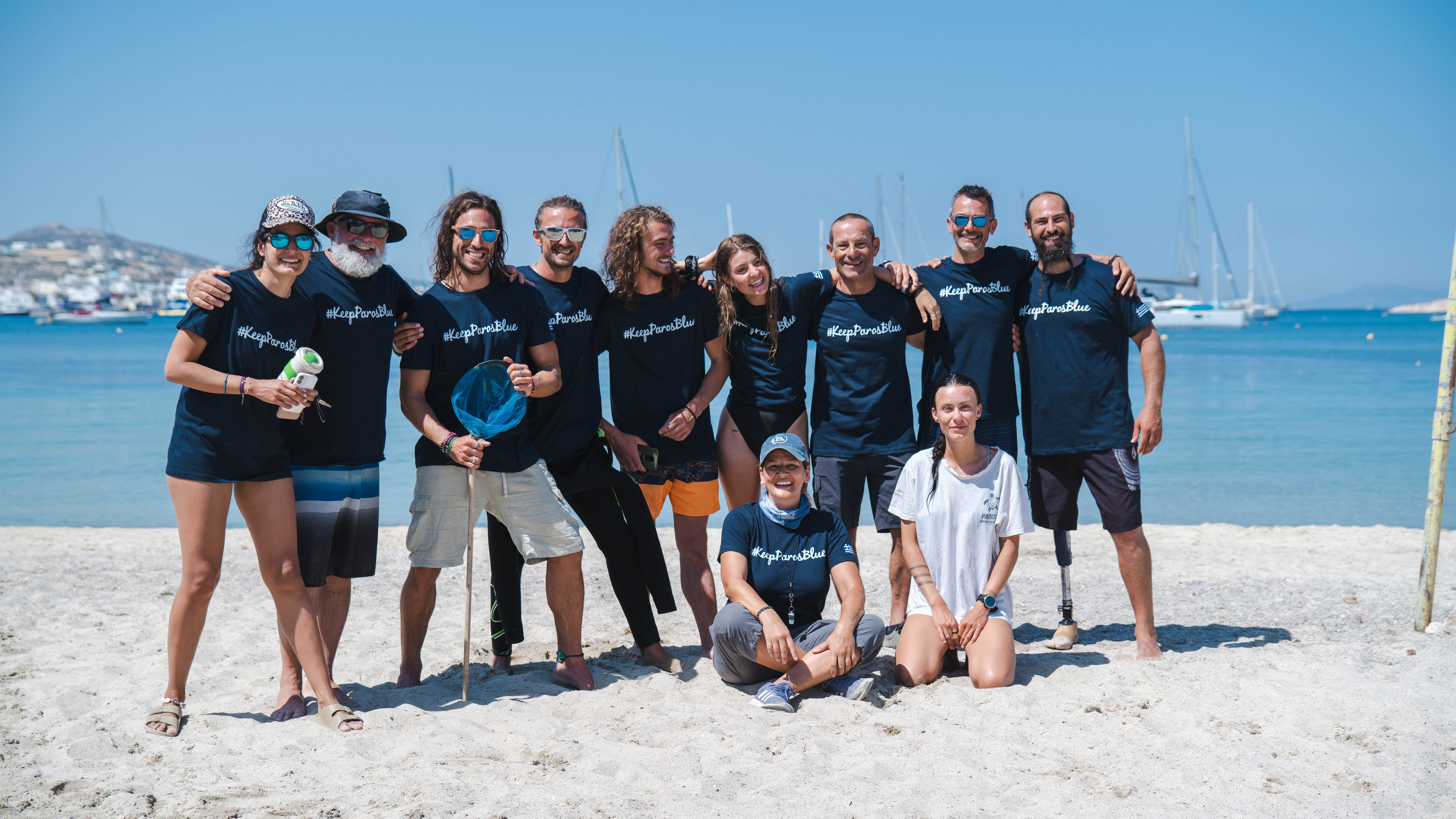
All For Blue underwater cleanup in collaboration with Intermed / Unipharma and the local dive centers of Paros, Cycladic Diving & Paros Diving Center
1
Beach Umbrella
All For Blue organisation
All For Blue
3
8
18
4
13
5
1
2
8
9
4
1
1
230.00
120
7.00
1.00
estimated
2
847.00
3
3
6
On
kilograms
1
I have debris data to report
12
3
Calm (glassy to rippled) for waves 0 – 0.1 meter high
5
Released Unharmed
7
1
3
m2


3
2
4
entangled in aluminium cans
octopus
Released Unharmed
meters
seagrass
1
2
8
3
4
37
4
2
2
State\Province
Greece
City
Paros island
Map Help
Dive Location
If you know your survey site coordinates, enter them manually in decimal degrees using WGS84 Map Datum. Use the minus sign for latitudes south of the equator and longitudes west of the Prime Meridian to 180 degrees.
If you do not know your survey site coordinates, click the “Map Location” tab to use the map to zoom into your survey site and drop the pin on the map to fall within your survey dive site in the water (not on land or the beach). Ensure you zoom in as much as possible to ensure data accuracy.
Entangled Help