Mae Haad Reef North
14
237
10.086703900456, 99.824993973185
1
lightbulbs
Sunny with a little bit of rain
3
30
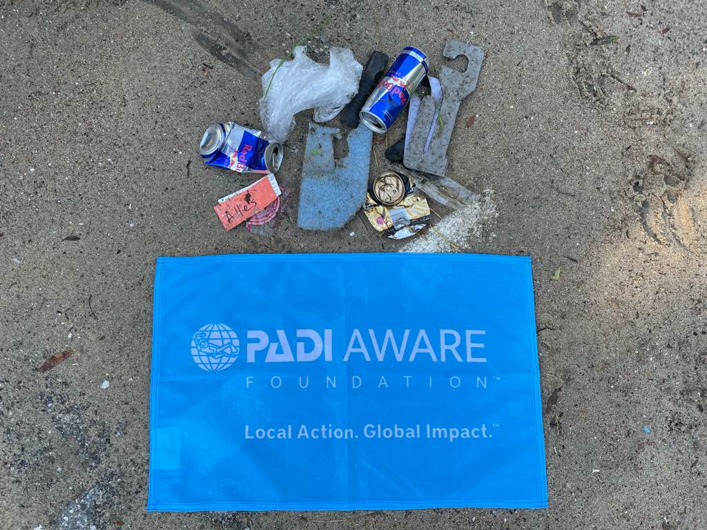
face masks
polystyrene
Black Turtle
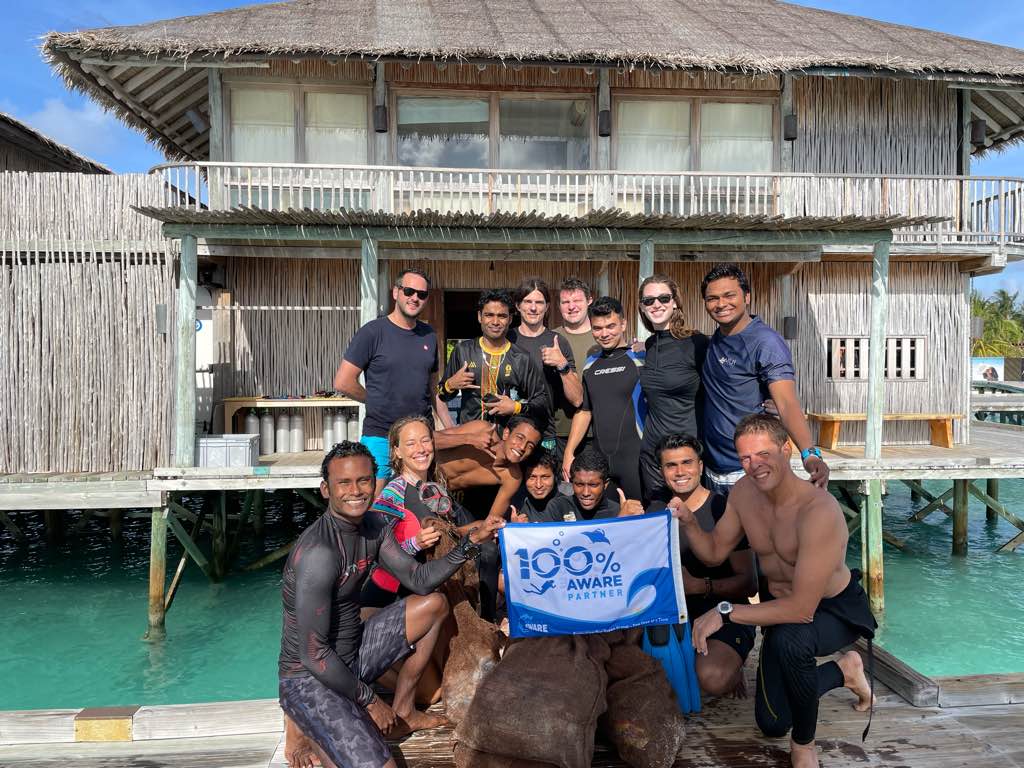
Lauren Wilson
5
4
7
143
4
11
23
8
32
45
1
3
1
61.30
60
5.00
1.00
20
measured
500.00
11
5
glass fragments
plastic fragments
cigarette butts
7
On
kilograms
I have debris data to report
21
Calm (glassy to rippled) for waves 0 – 0.1 meter high
7
plastic fragments
crab
Released Unharmed
1
3
m2
meters
coral reef
1
3
2
2
8
1
9
4
478
City
Koh Tao
Map Help
Dive Location
If you know your survey site coordinates, enter them manually in decimal degrees using WGS84 Map Datum. Use the minus sign for latitudes south of the equator and longitudes west of the Prime Meridian to 180 degrees.
If you do not know your survey site coordinates, click the “Map Location” tab to use the map to zoom into your survey site and drop the pin on the map to fall within your survey dive site in the water (not on land or the beach). Ensure you zoom in as much as possible to ensure data accuracy.
Entangled Help