DROC - La Puntilla
7
25
19.761028, -70.520556
6
1
Dry with short bursts of heavy rain.
1
3
1
16
1
1
1
sticker
feminine pads
tennis ball
hair ties
hair braid
earring
wig
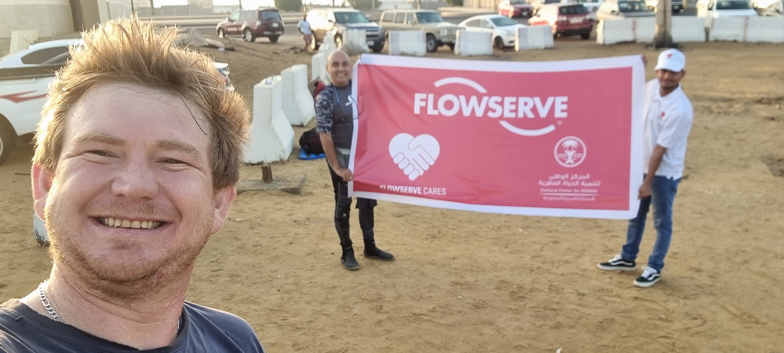
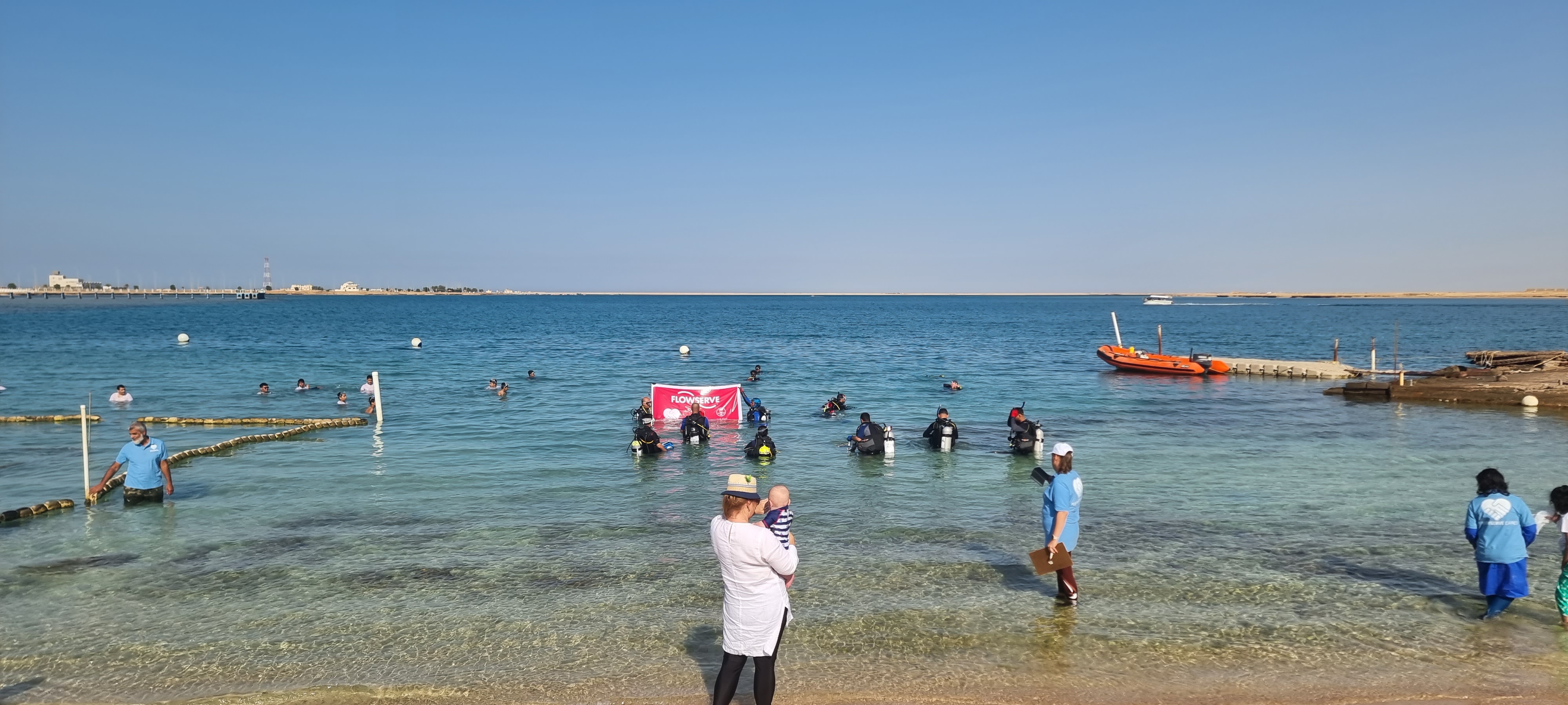
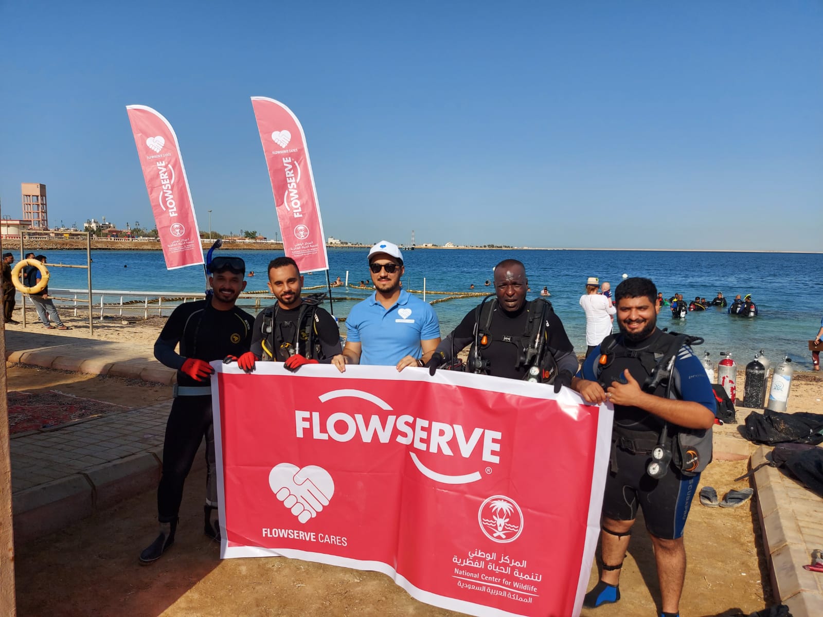
Dive Cabarete
David Robinson
19
3
1
1
2
2
8
1
37.56
70
25.00
10.00
measured
600.00
15
3
On
pounds
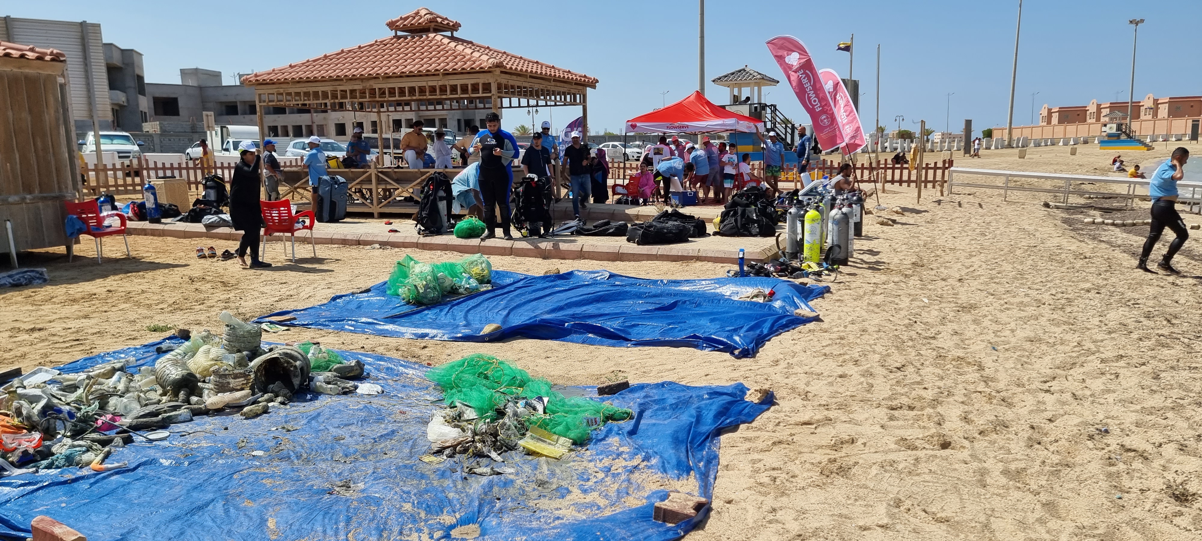
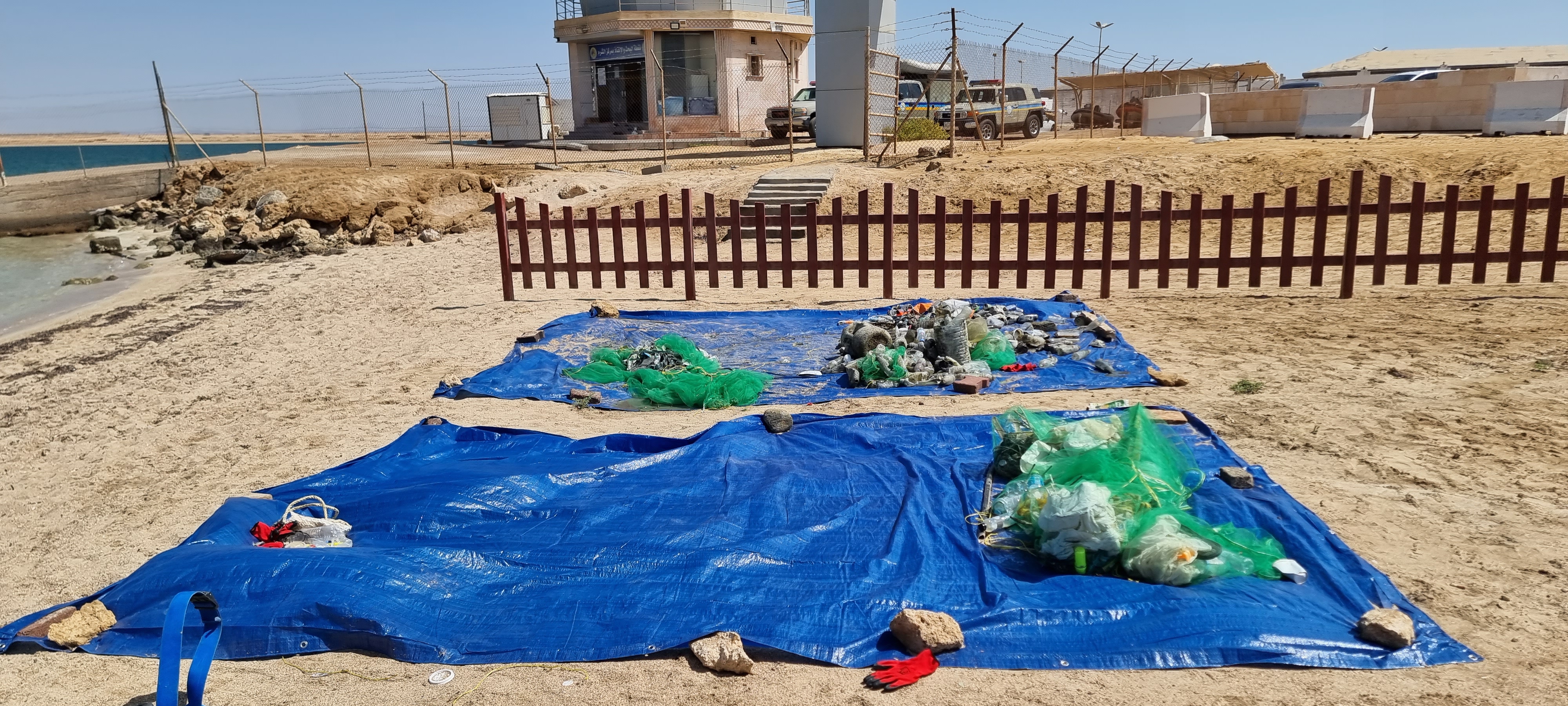
I have debris data to report
2
Smooth (wavelets) for waves 0.1 - 0.5 meter high
clothing fragments
decoratore crabs
Released Unharmed
25
31
m2


7
5
2
clothing
moray eel juvenile
Released Unharmed
feet
coral reef
2
216
2
34
1
1
State\Province
Puerto Plata
City
Sosua
Map Help
Dive Location
If you know your survey site coordinates, enter them manually in decimal degrees using WGS84 Map Datum. Use the minus sign for latitudes south of the equator and longitudes west of the Prime Meridian to 180 degrees.
If you do not know your survey site coordinates, click the “Map Location” tab to use the map to zoom into your survey site and drop the pin on the map to fall within your survey dive site in the water (not on land or the beach). Ensure you zoom in as much as possible to ensure data accuracy.
Entangled Help