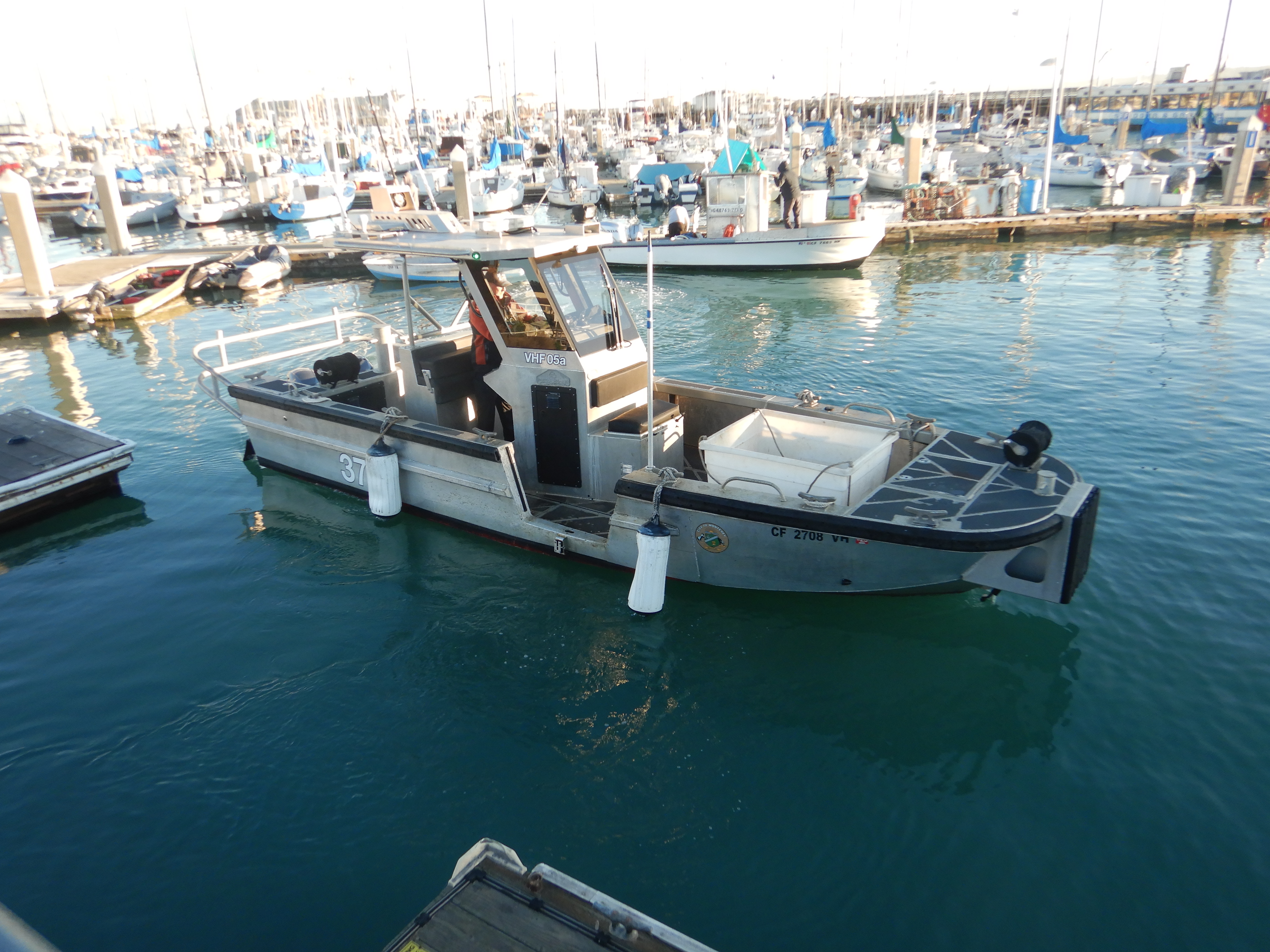
Monterey Harbor
1
1
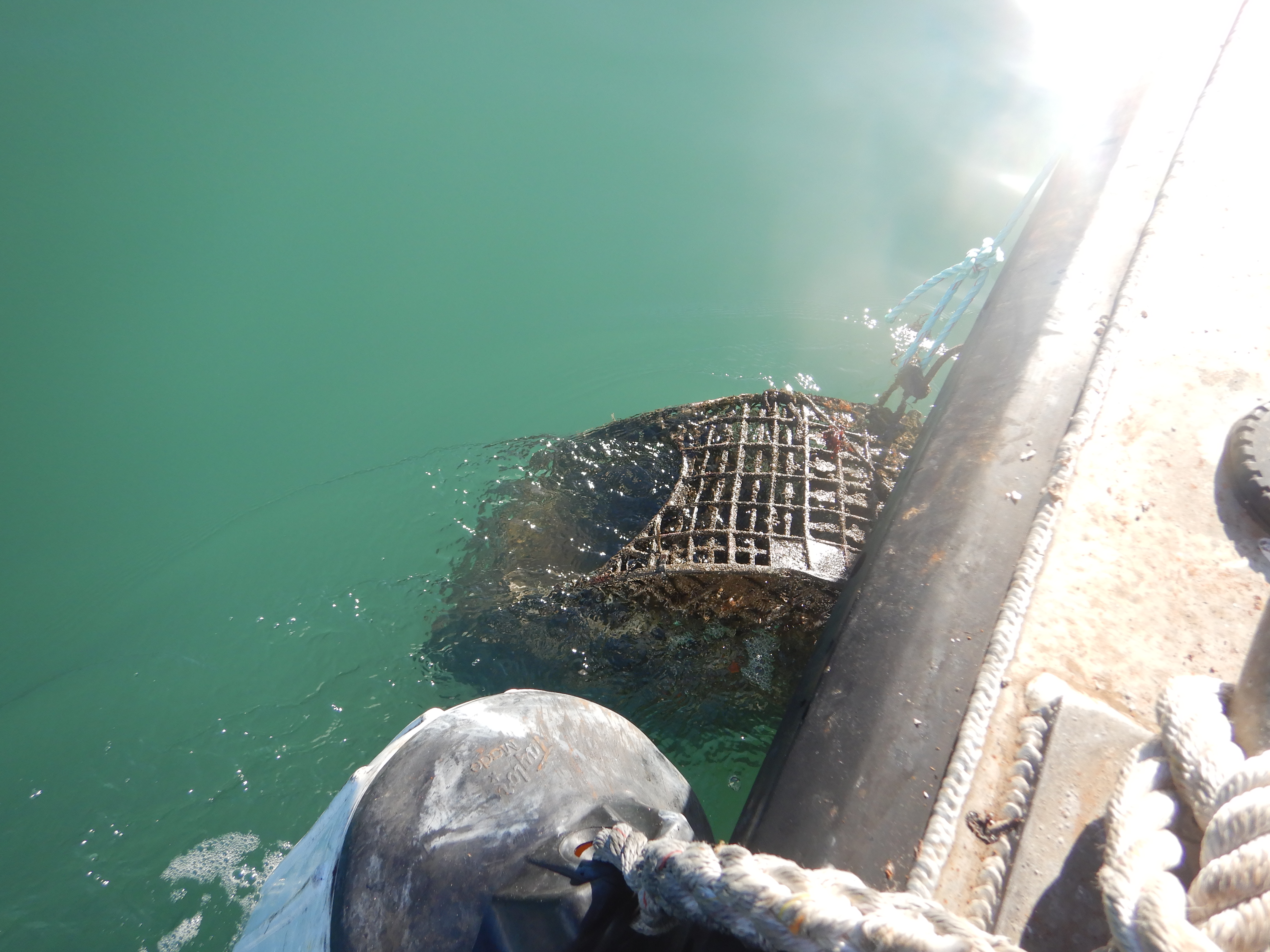
silt
36.604115434587, -121.89064887244
One of our participants created a video.
https://vimeo.com/1045914870?share=copy
https://vimeo.com/1045914870?share=copy
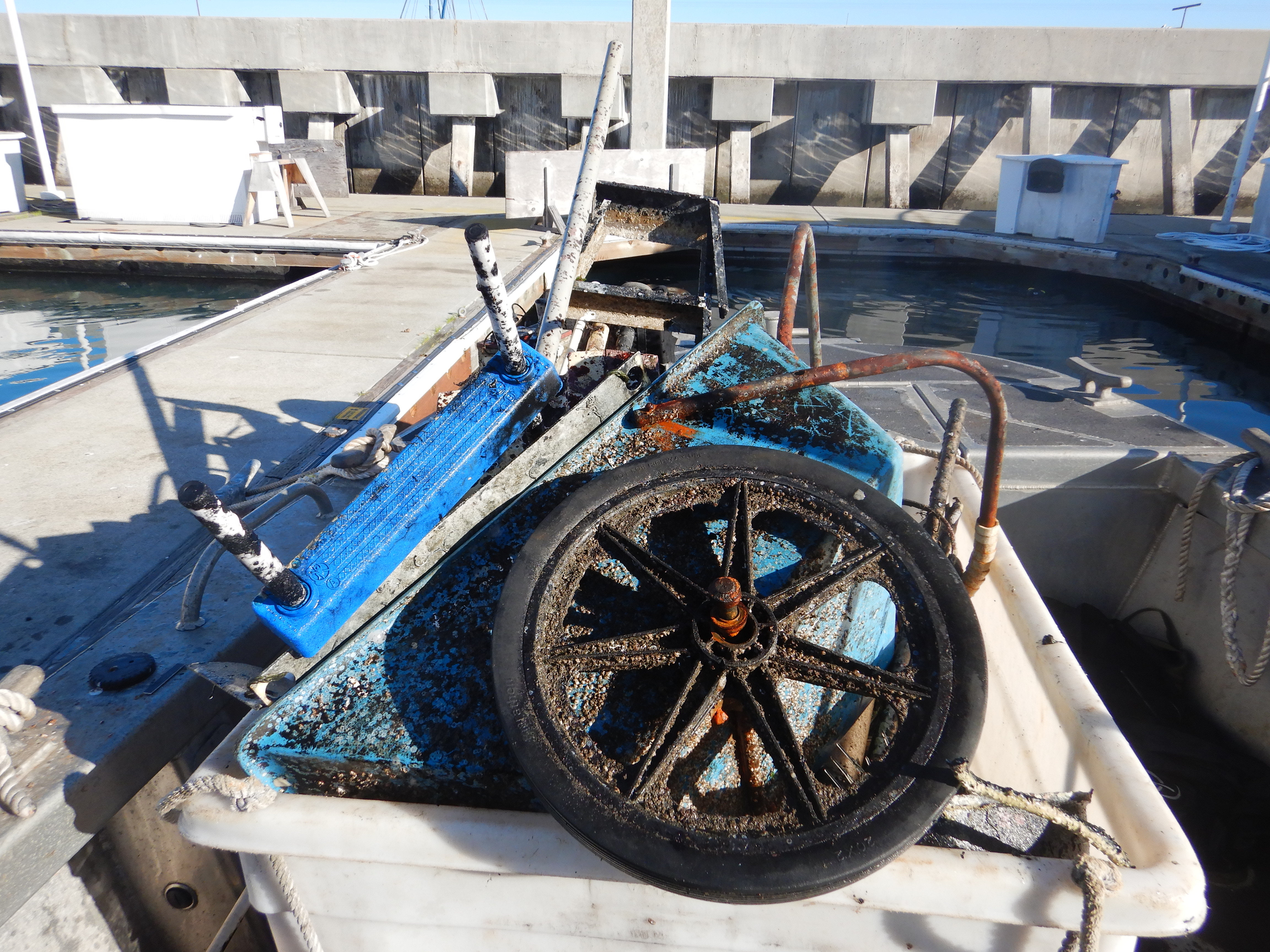
Two ladders
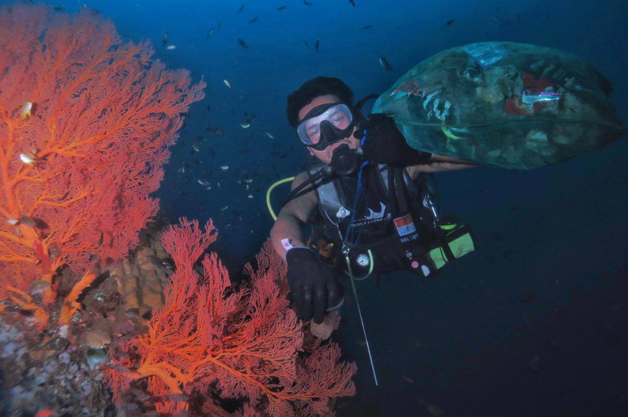
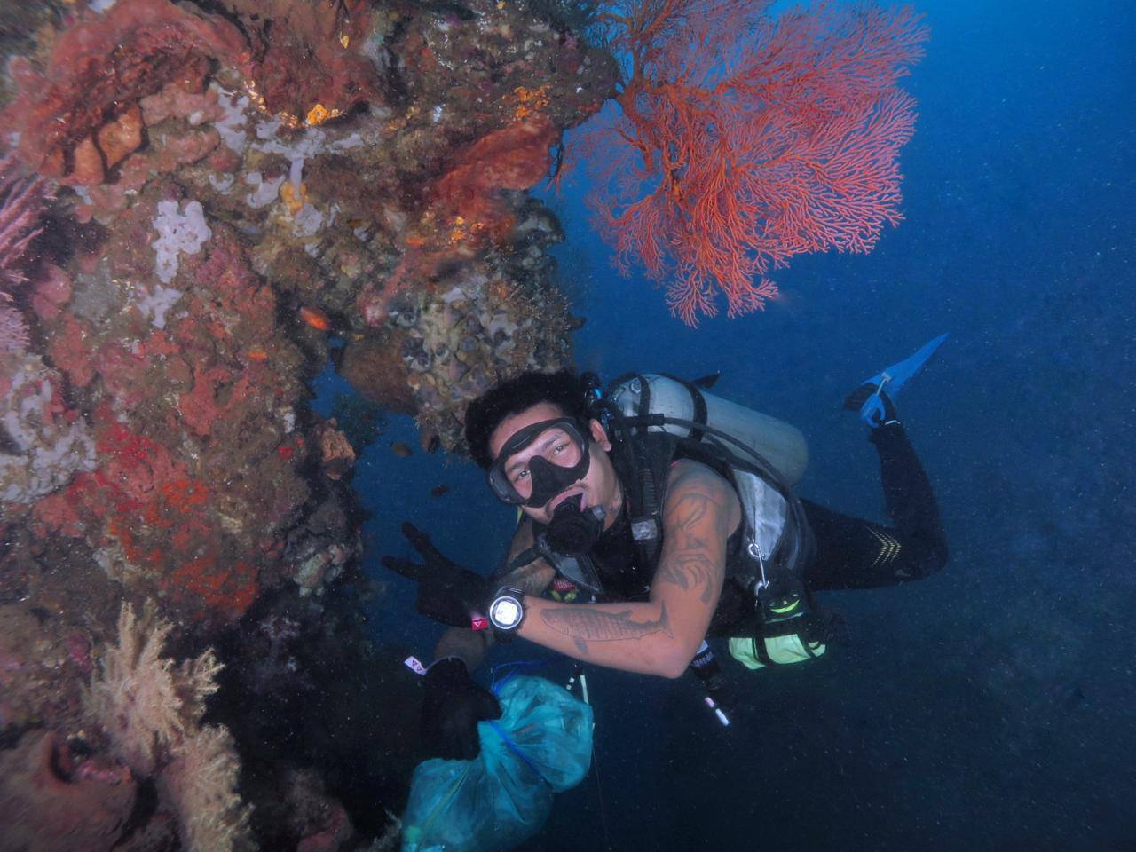
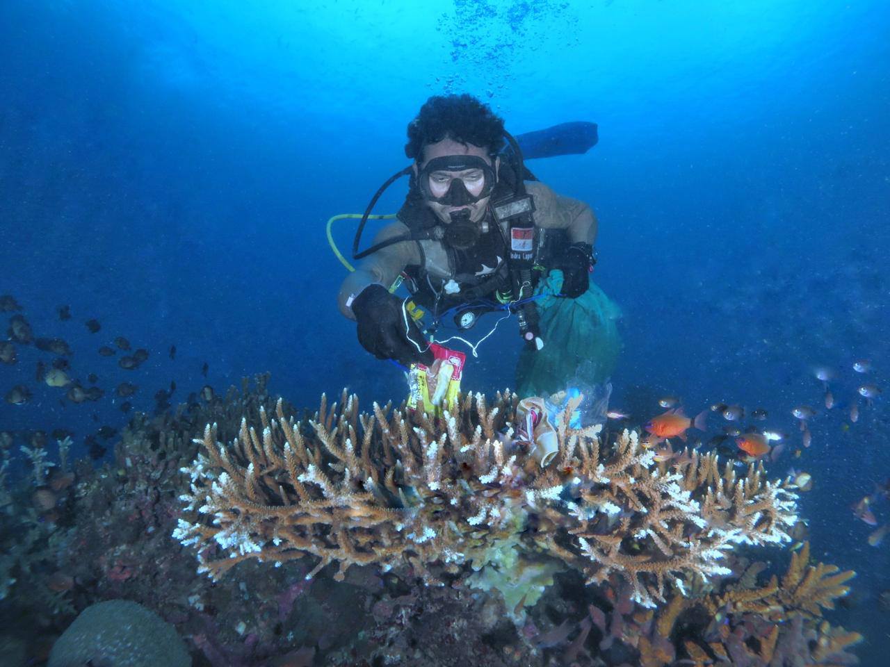
Inside the breakwater, calm
1
1
2
1
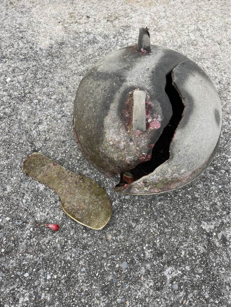
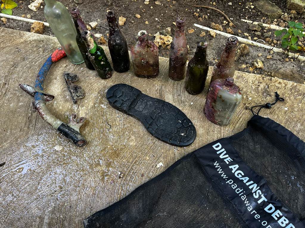
Plastic planter
fishing tackle box
ladders
Mickey Mouse figurine
Diver Dan's
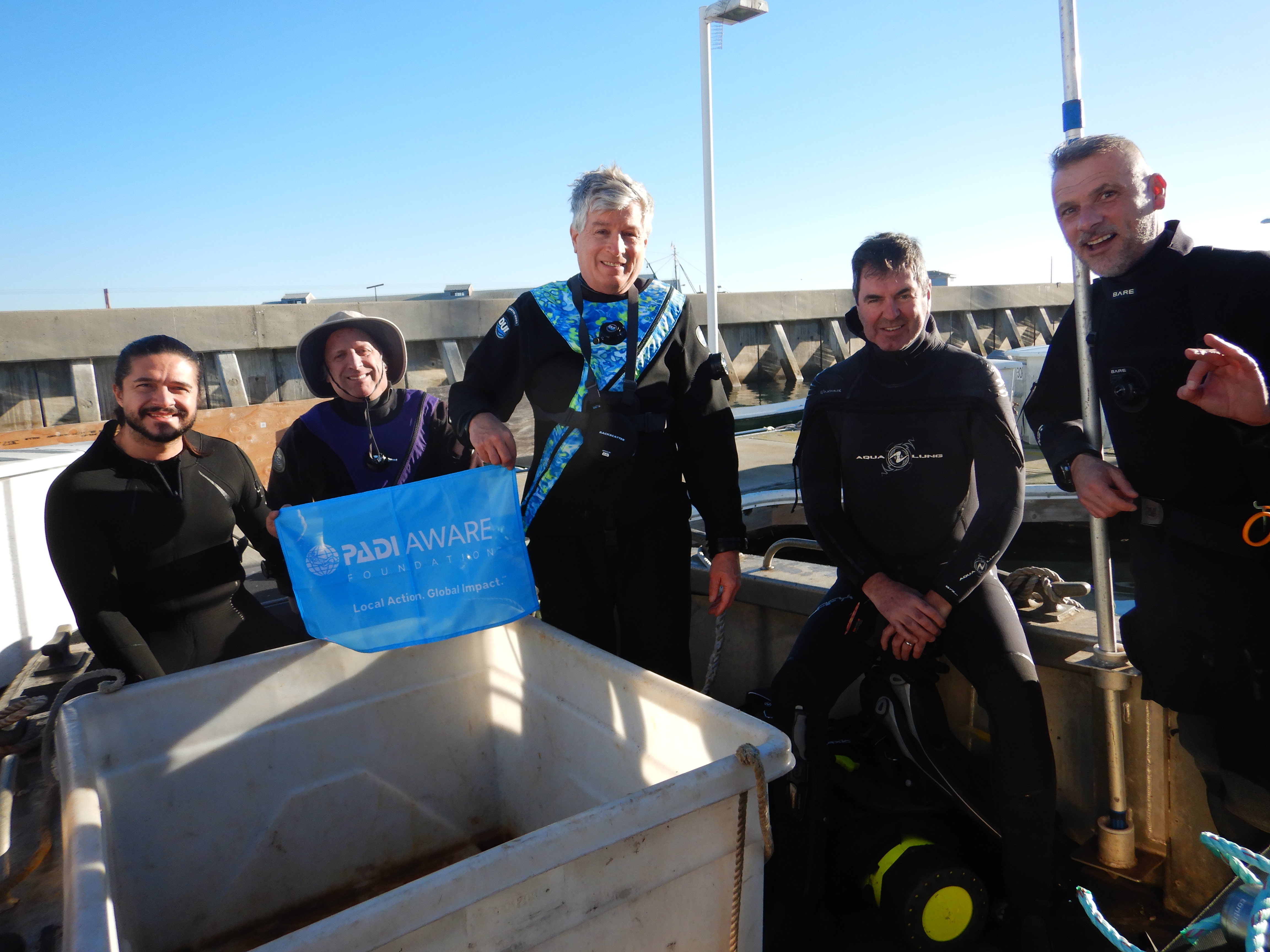
Robert Halem
26
1
5
1
250.00
44
20.00
20.00
5
estimated
2
20000.00
tires that were burried in the silt too deeply to remove
On
pounds
I have debris data to report
8
1
Calm (glassy to rippled) for waves 0 – 0.1 meter high
1
ft2
feet
other
9
1
4
7
1
State\Province
California
City
Santa Clara
Map Help
Dive Location
If you know your survey site coordinates, enter them manually in decimal degrees using WGS84 Map Datum. Use the minus sign for latitudes south of the equator and longitudes west of the Prime Meridian to 180 degrees.
If you do not know your survey site coordinates, click the “Map Location” tab to use the map to zoom into your survey site and drop the pin on the map to fall within your survey dive site in the water (not on land or the beach). Ensure you zoom in as much as possible to ensure data accuracy.
Entangled Help
Use the vertical tabs below to record any entangled animals you found of each type.
Ecosystem Other
silty harbor bottom