Placer Cove
3
2
4
silt
3
8
5
35.705543, -114.7066424
During the summer moths, the cove is overcrowded with locals that party and enjoy the cool waters in the hot Nevada sun.
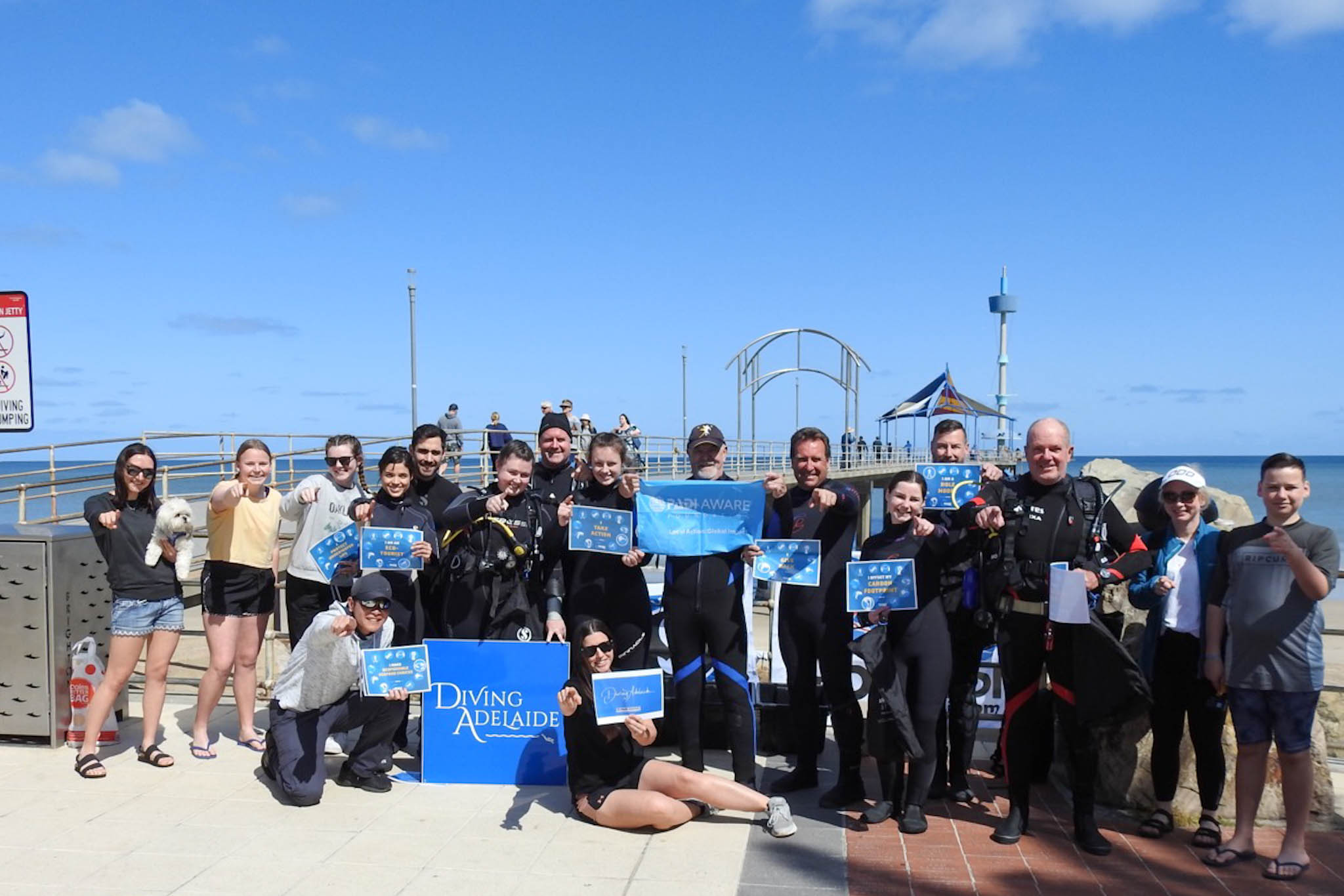
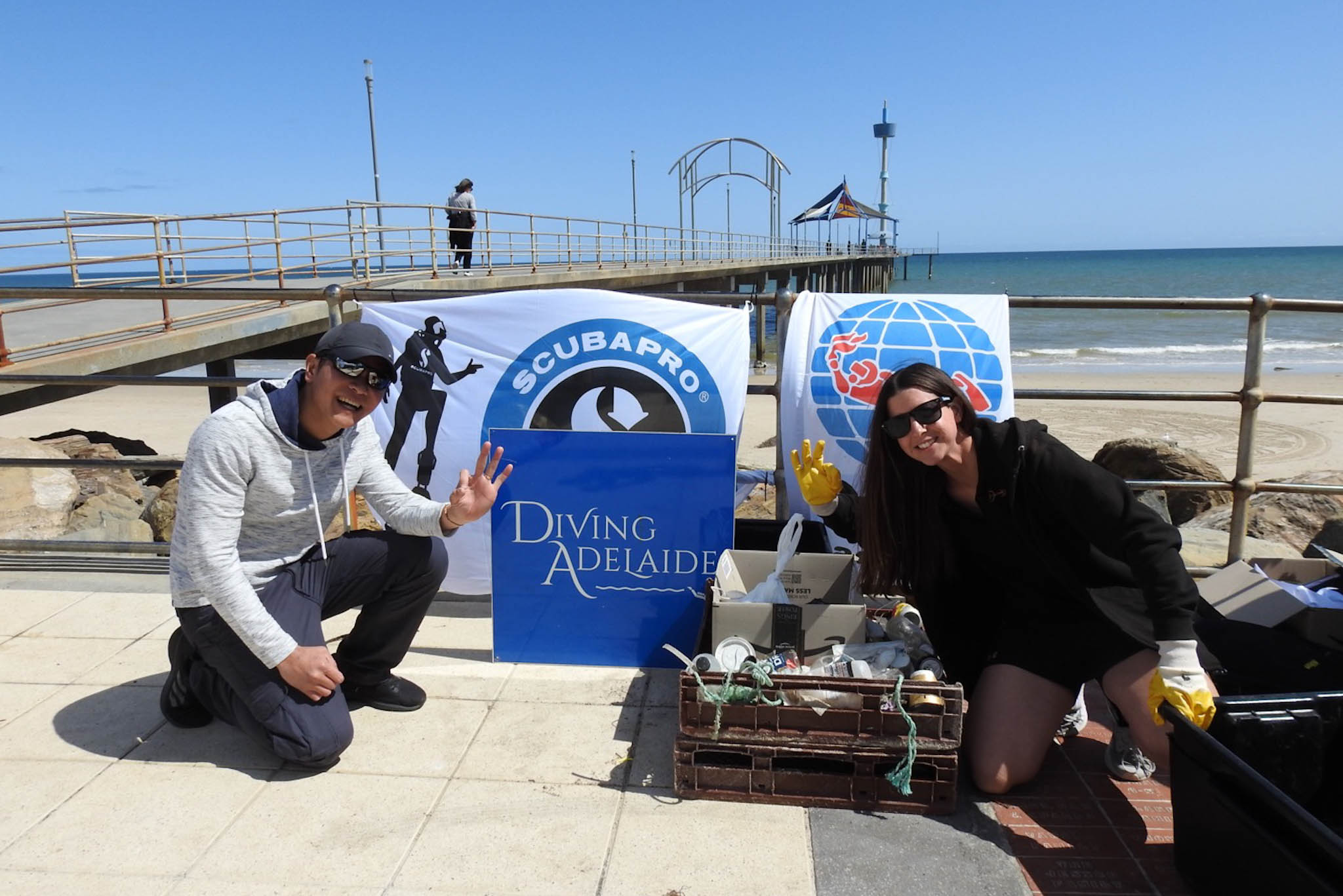
3rd Reef Divers and the Legends Dive Club on our annual Project AWARE Debris dives at Placer Cove.
Child's bike with training wheels
Clear, Temp. Low 94- High 109
1
1
1
1
1
1
metal folding chair
umbrella
bar- B-Que Grill
tent
kayak oar
child bike
3rd Reef Divers
Larry Millwood
2
1
13
0
2
4
3
4
12
5
21
8
4
6
72
4
14
1
1
409.00
43
40.00
5.00
1
measured
16
20000.00
1
Glass
Plastics
fishing line with lures
On
pounds
I have debris data to report
78
Calm (glassy to rippled) for waves 0 – 0.1 meter high
2
6
12
ft2


1
3
feet
other
2
2
3
3
8
86
0
2
State\Province
Nevada
City
Henderson
Map Help
Dive Location
If you know your survey site coordinates, enter them manually in decimal degrees using WGS84 Map Datum. Use the minus sign for latitudes south of the equator and longitudes west of the Prime Meridian to 180 degrees.
If you do not know your survey site coordinates, click the “Map Location” tab to use the map to zoom into your survey site and drop the pin on the map to fall within your survey dive site in the water (not on land or the beach). Ensure you zoom in as much as possible to ensure data accuracy.
Entangled Help
Use the vertical tabs below to record any entangled animals you found of each type.
Ecosystem Other
silt