Sirens
5
seagrass
2
35.949390564249, 14.404586684547
I found 2 glass bottles that had too much life growing on to safely remove (and I think removing would have caused more harm than good)
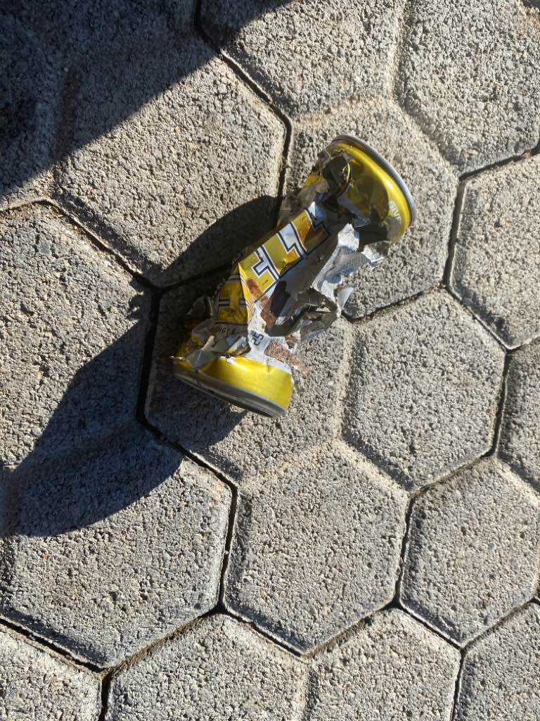
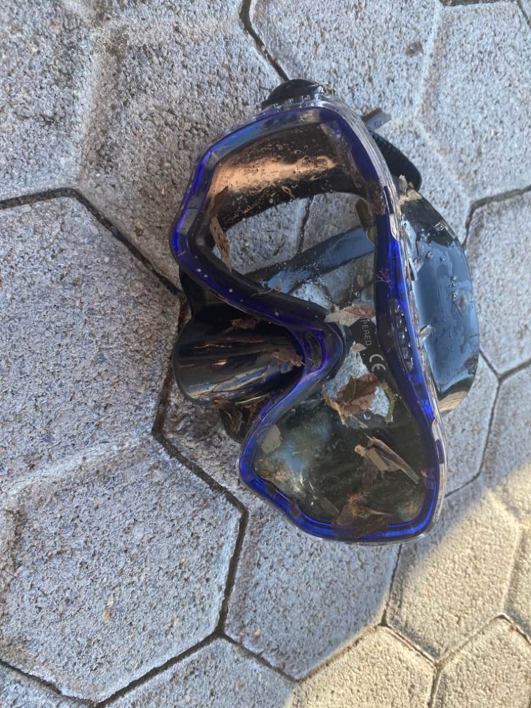
Toy car and a pair of sunglassses
Calm
1
1
Toy care
Sunglasses
NDS Malta
Susannah Williams
1
1
0.20
15
4.00
2.00
estimated
50.00
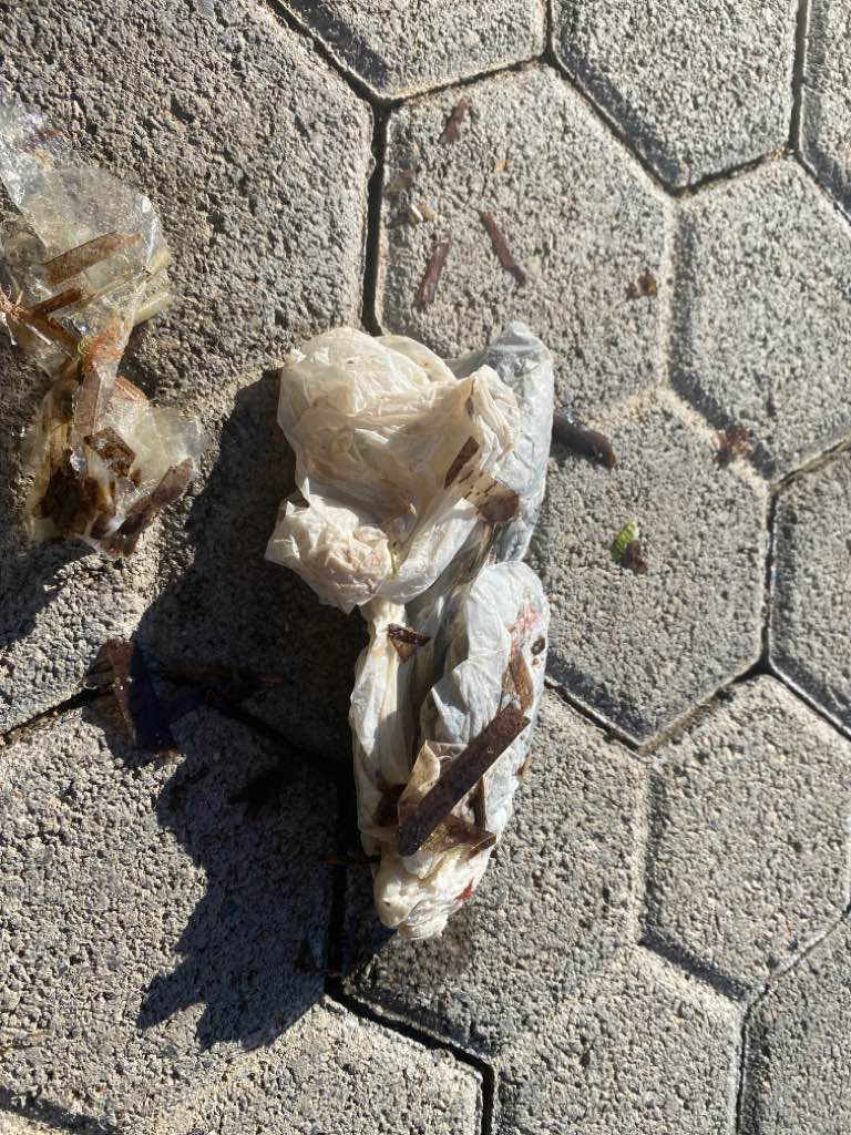
Fishing wire
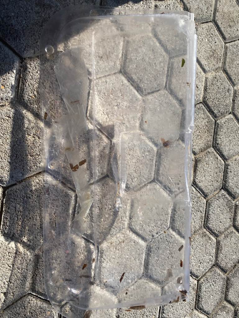
Plastic fragments
On
kilograms
I have debris data to report
Calm (glassy to rippled) for waves 0 – 0.1 meter high
2
m2


1
meters
rocky reef
1
3
Map Help
Dive Location
If you know your survey site coordinates, enter them manually in decimal degrees using WGS84 Map Datum. Use the minus sign for latitudes south of the equator and longitudes west of the Prime Meridian to 180 degrees.
If you do not know your survey site coordinates, click the “Map Location” tab to use the map to zoom into your survey site and drop the pin on the map to fall within your survey dive site in the water (not on land or the beach). Ensure you zoom in as much as possible to ensure data accuracy.
Entangled Help