Empacadora
0
32
0
0
22.882267040967, -109.90454548493
1
0
0
sand
0
1
0
11
0
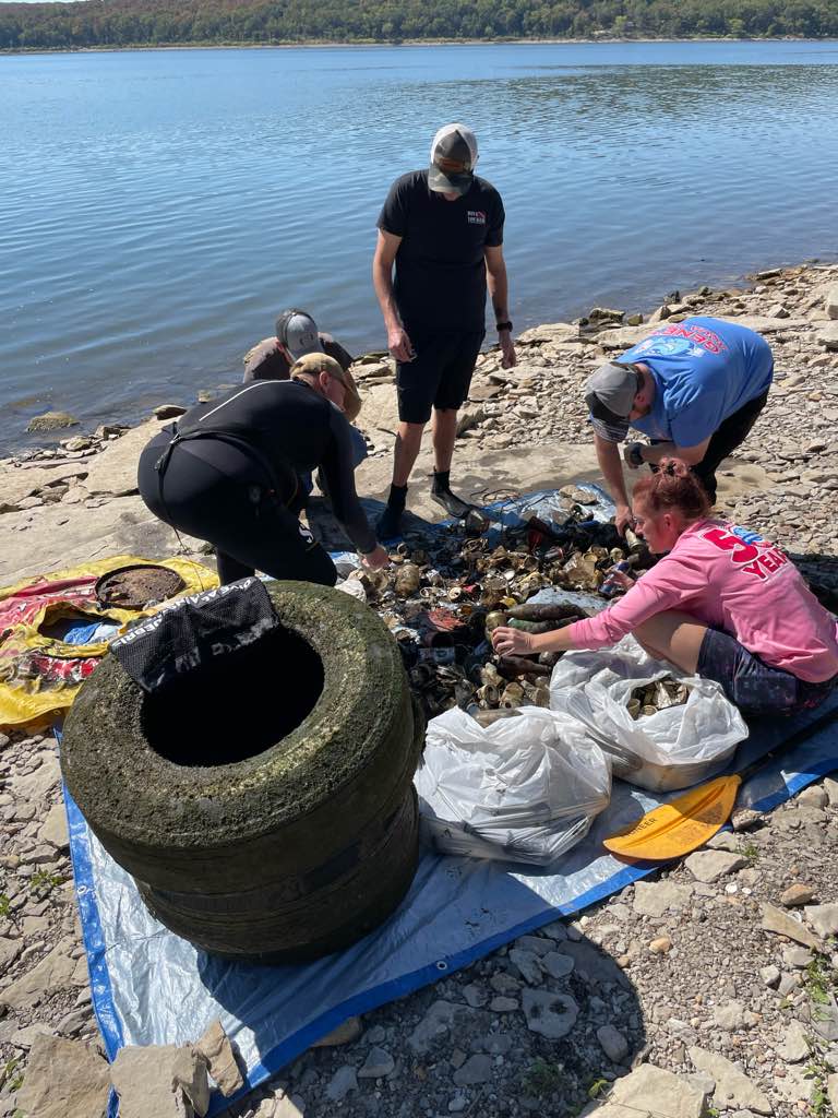
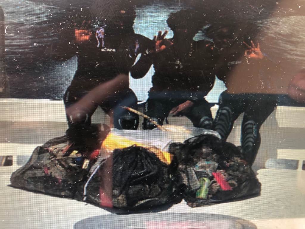
Part of the monthly clean up partnership with Dive Ninja and Cabo Private Guide
There was a big national holiday a couple weeks ago, as well as a couple storms that passed through the area.
Machete
Calm, scattered showers
3
1
Sunglasses
Machete
Dive Ninja Expedition
Jay Clue
0
0
0
2
0
0
1
0
1
0
0
0
2
0
0
0
0
0
0
12
0
0
1
0
2
0
7
0
0
2
0
0
0
0
0
0
50.00
45
20.00
7.00
1
estimated
0
2
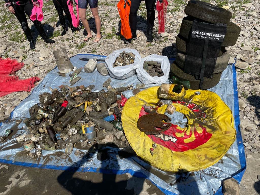
6766.67
0
0
0
0
0
Fishing gear
Aluminum cans
Plastic pieces & bottles
3
On
kilograms
0
I have debris data to report
4
0
0
Calm (glassy to rippled) for waves 0 – 0.1 meter high
2
0
1
0
9
0
0
m2
0
0
meters
rocky reef
0
0
0
0
0
6
0
0
0
1
1
0
0
0
0
0
1
41
0
0
1
0
4
0
0
0
0
0
0
State\Province
BCS
City
Cabo San Lucas
Map Help
Dive Location
If you know your survey site coordinates, enter them manually in decimal degrees using WGS84 Map Datum. Use the minus sign for latitudes south of the equator and longitudes west of the Prime Meridian to 180 degrees.
If you do not know your survey site coordinates, click the “Map Location” tab to use the map to zoom into your survey site and drop the pin on the map to fall within your survey dive site in the water (not on land or the beach). Ensure you zoom in as much as possible to ensure data accuracy.
Entangled Help