城ヶ島
6
0
0
0
35.137673330609, 139.61213791308
12
0
0
sand
0
8
0
5
0
特にありません。
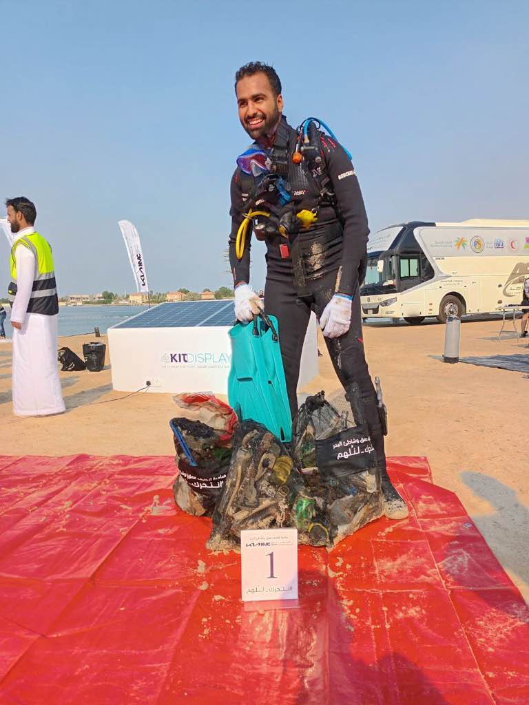
海中ゴミの問題に協力したいと思ったから
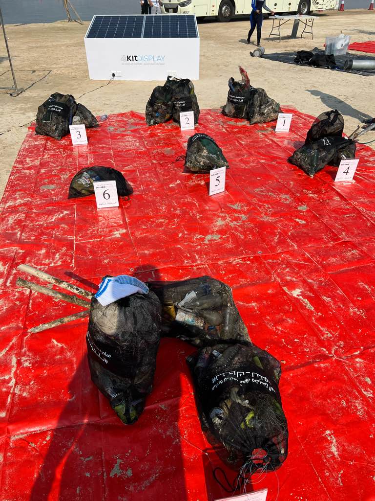
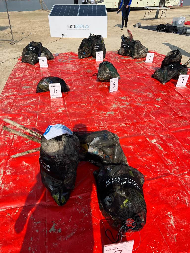
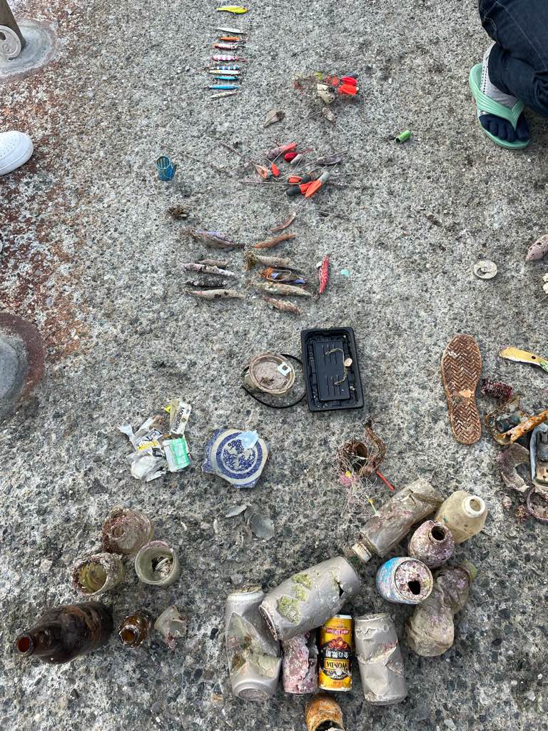
釣り人がポイント近くで釣りをしているのが原因で上記のようなゴミがたくさん見つかりました。釣りポイントに注意喚起をする張り紙などをすれば少しは海中を綺麗にできるのではないかとも思いました。
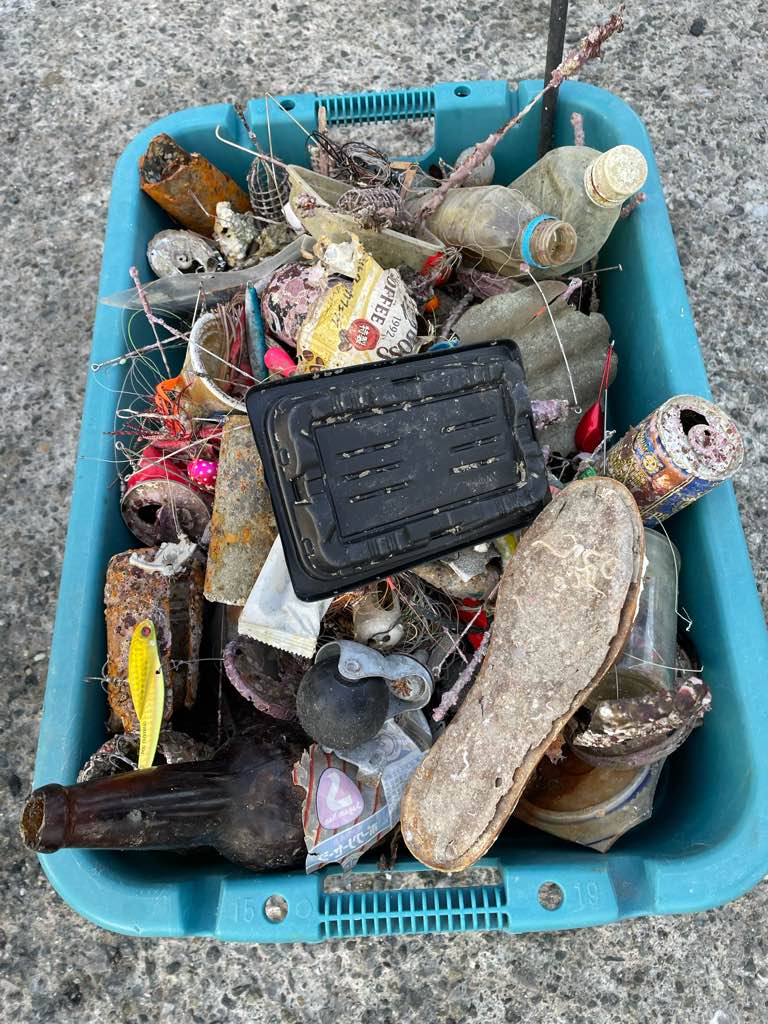
釣具、ルアー
晴れ
ダイビングスクールマレア
チームクボッチ
0
0
0
0
0
0
0
0
0
0
0
0
0
0
0
0
0
1
0
5
0
0
0
0
0
1
4
0
0
0
0
0
0
0
0
0
10.00
80
6.00
1.20
0
estimated
0
28
6716.15
0
0
0
0
0
ルアー
釣りの仕掛け
飲み物などのゴミ
0
On
kilograms
0
I have debris data to report
6
0
0
Calm (glassy to rippled) for waves 0 – 0.1 meter high
0
0
0
0
0
0
0
m2
0
0
meters
rocky reef
0
0
0
0
0
0
0
1
0
0
0
0
0
0
0
0
8
0
0
0
1
0
0
0
0
0
0
0
0
State\Province
神奈川県
City
三浦市
Map Help
Dive Location
If you know your survey site coordinates, enter them manually in decimal degrees using WGS84 Map Datum. Use the minus sign for latitudes south of the equator and longitudes west of the Prime Meridian to 180 degrees.
If you do not know your survey site coordinates, click the “Map Location” tab to use the map to zoom into your survey site and drop the pin on the map to fall within your survey dive site in the water (not on land or the beach). Ensure you zoom in as much as possible to ensure data accuracy.
Entangled Help