L'Embarcador - Illes Medes (2)
42.046765421634, 3.2199215950056
1
42.046773535151, 3.2196548296393
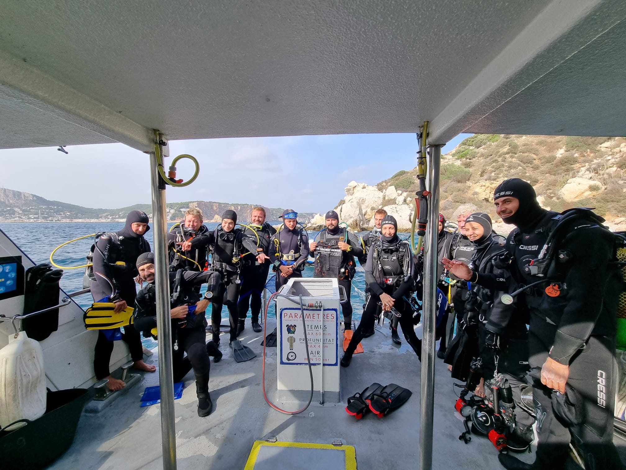
Action coorganized with the Natural Park and all the diving centers with authorization to dive in the Medes Islands Marine Reserve.
Summer season
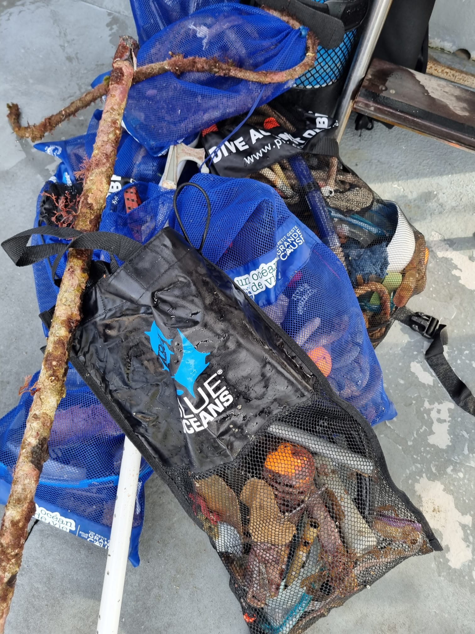
Snorkel items
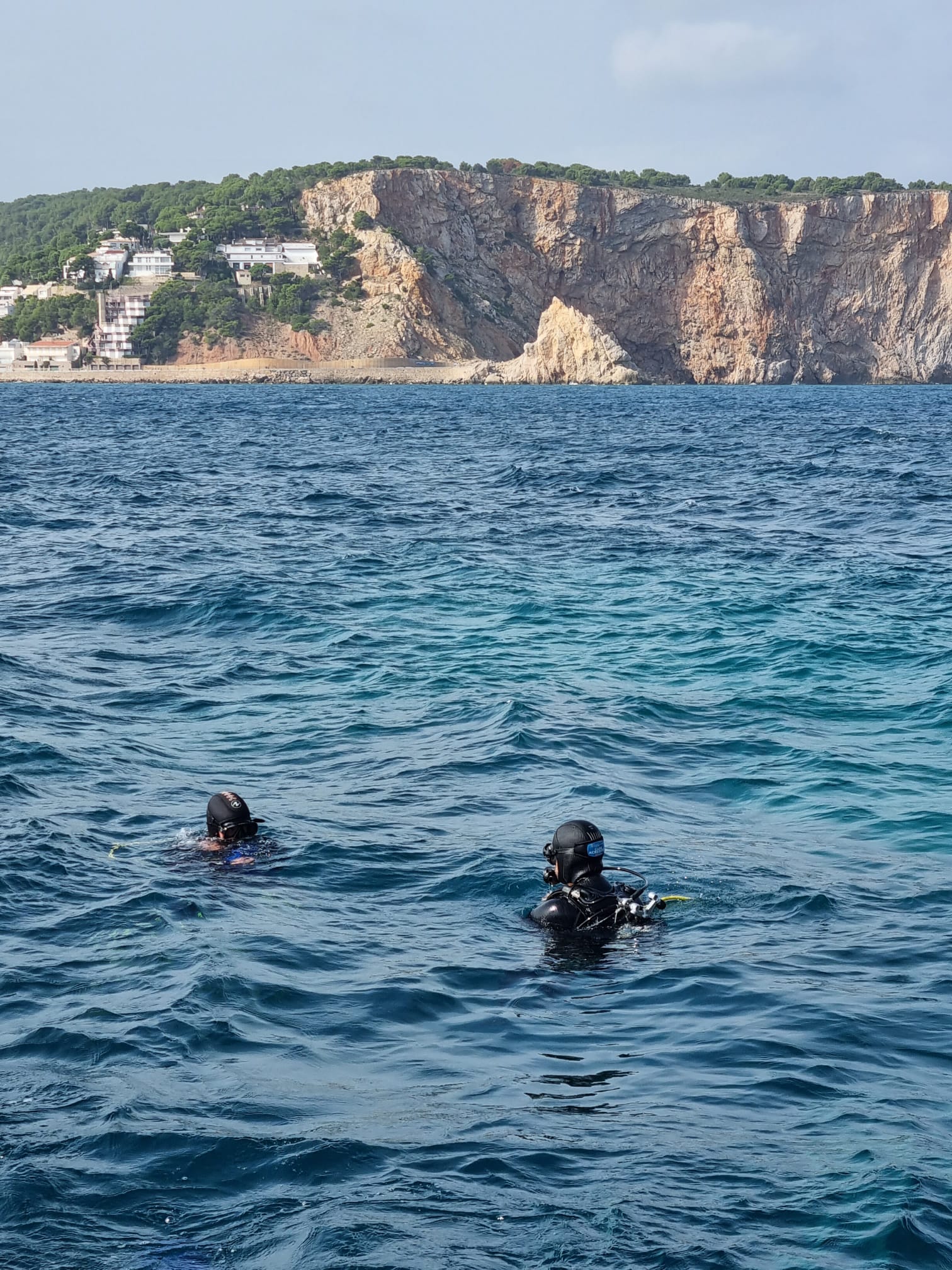
Good weather
1
sunglasses
Illes Medes Diving Centers
Illes Medes Diving Centers
20
1
13
1
23.70
60
8.00
3.00
1
measured
6400.00
6
On
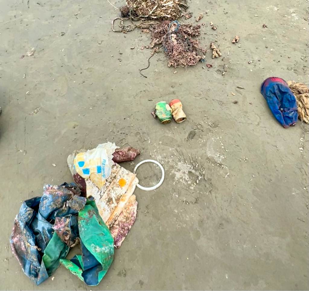
kilograms
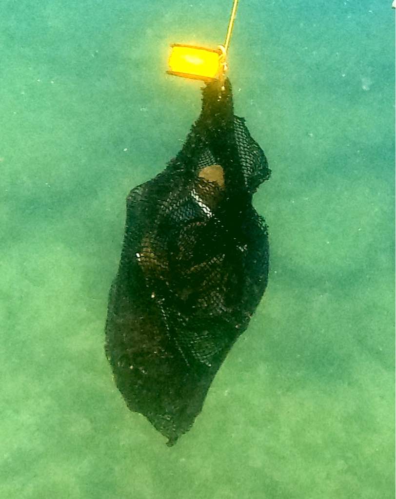
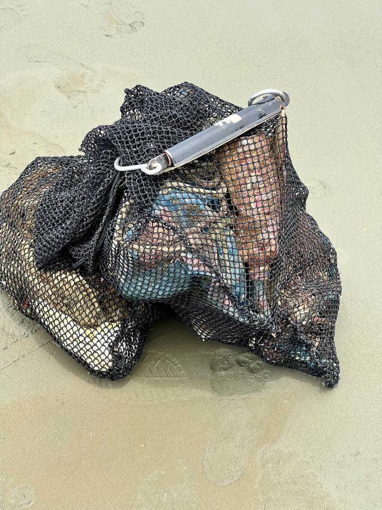
I have debris data to report
11
Slight for waves 0.5 -1.25 meter high
2
m2
6
1
meters
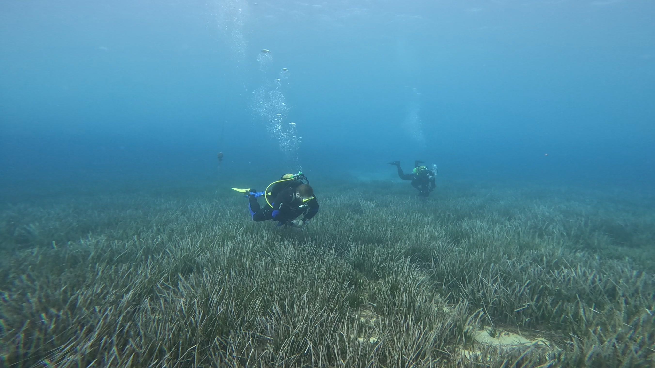
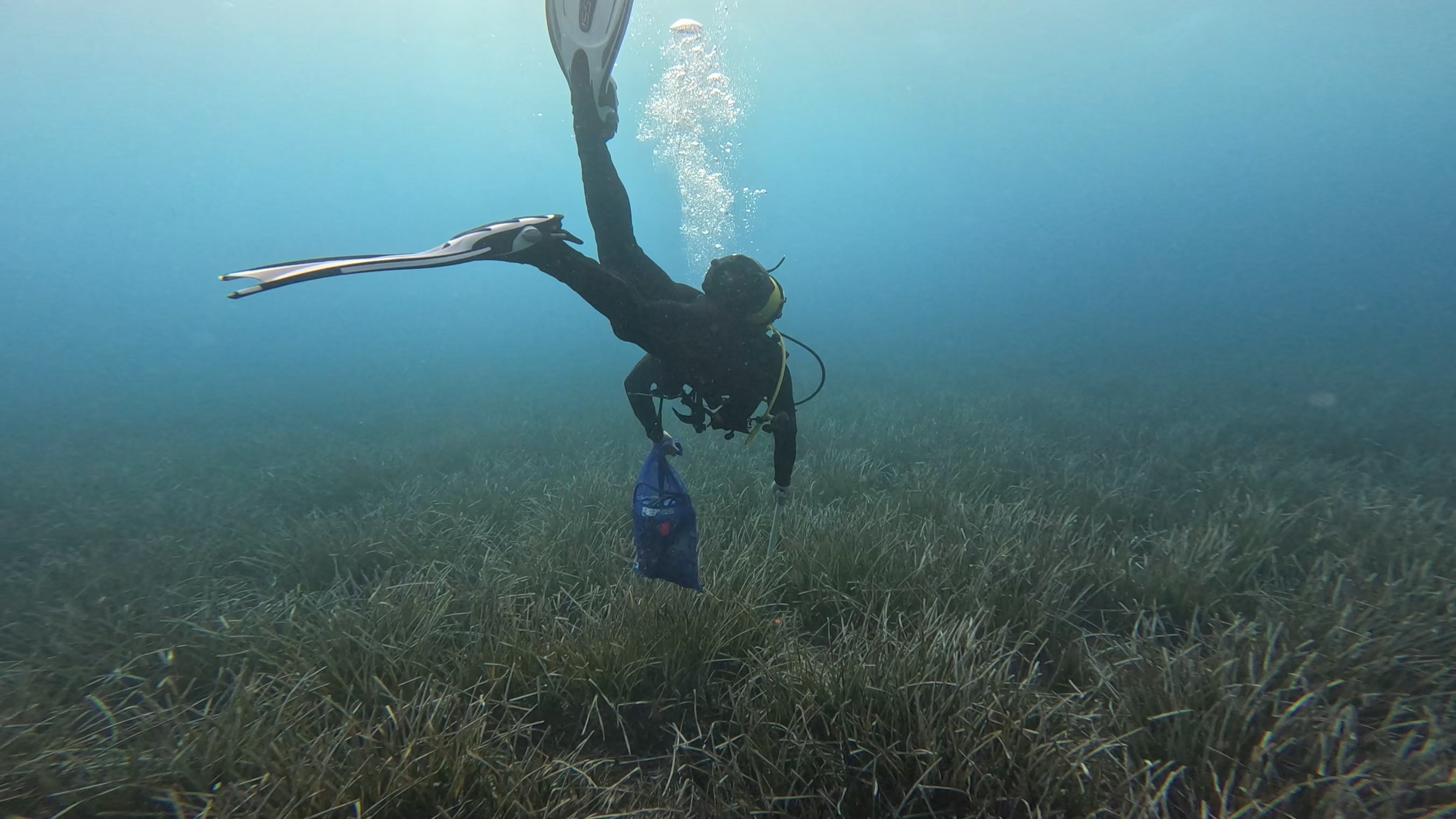
seagrass
2
2
1
1
5
1
State\Province
Girona
City
L'Estartit
Map Help
Dive Location
If you know your survey site coordinates, enter them manually in decimal degrees using WGS84 Map Datum. Use the minus sign for latitudes south of the equator and longitudes west of the Prime Meridian to 180 degrees.
If you do not know your survey site coordinates, click the “Map Location” tab to use the map to zoom into your survey site and drop the pin on the map to fall within your survey dive site in the water (not on land or the beach). Ensure you zoom in as much as possible to ensure data accuracy.
Entangled Help