Lighthouse Point
37.50506216726, 130.79688300363
37.50506216726, 130.79688300363
Inflow from a typhoon
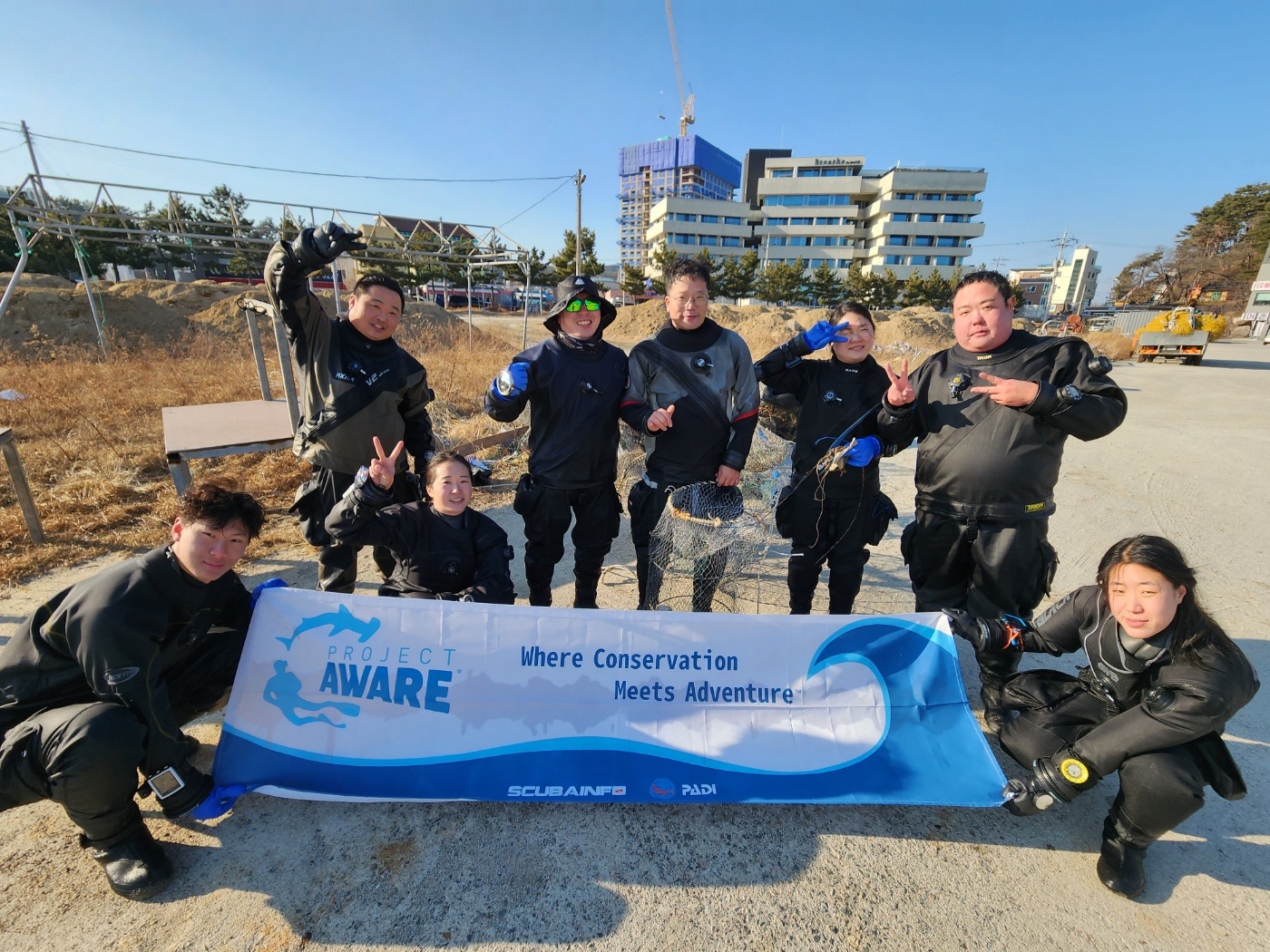
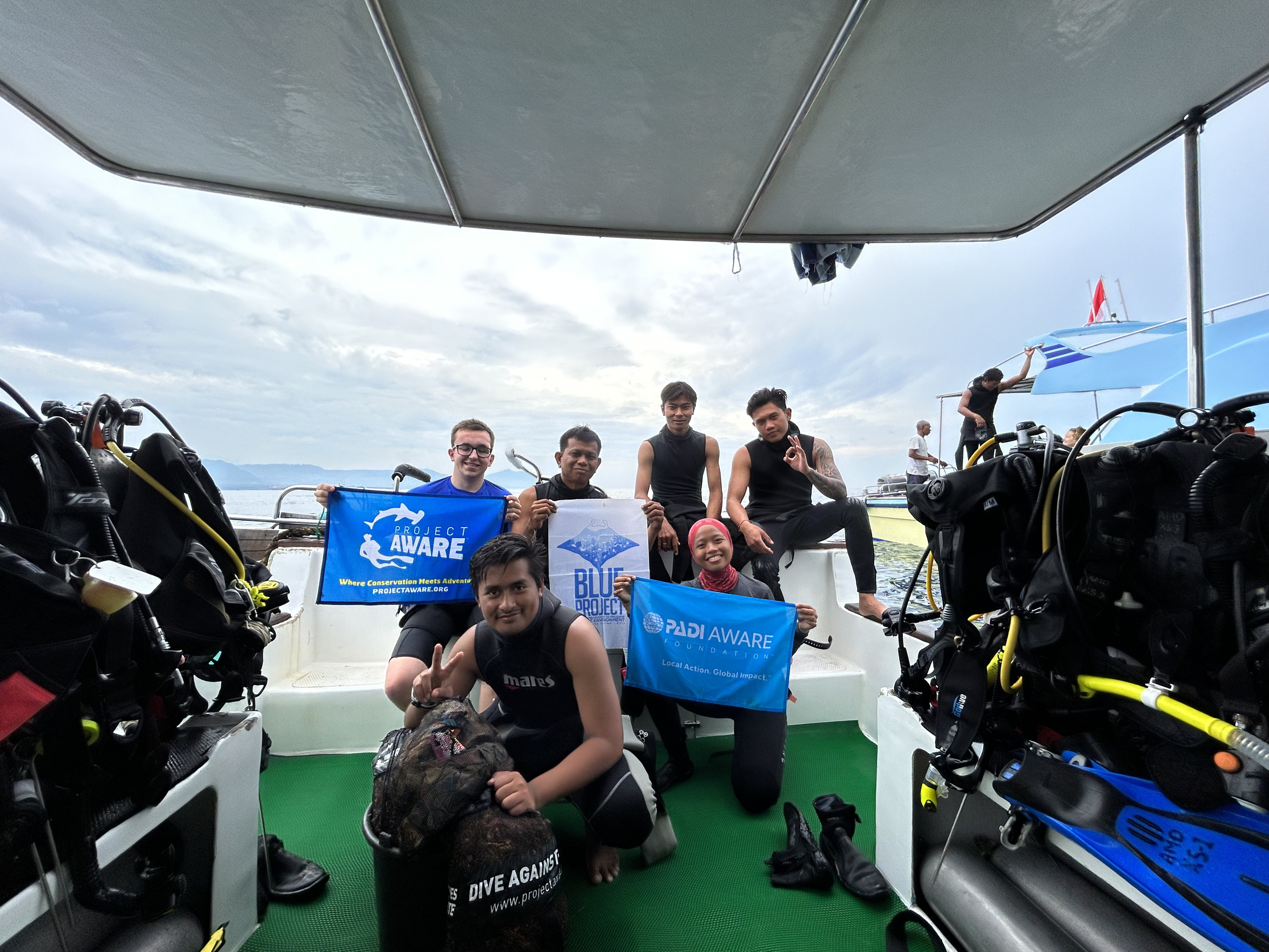
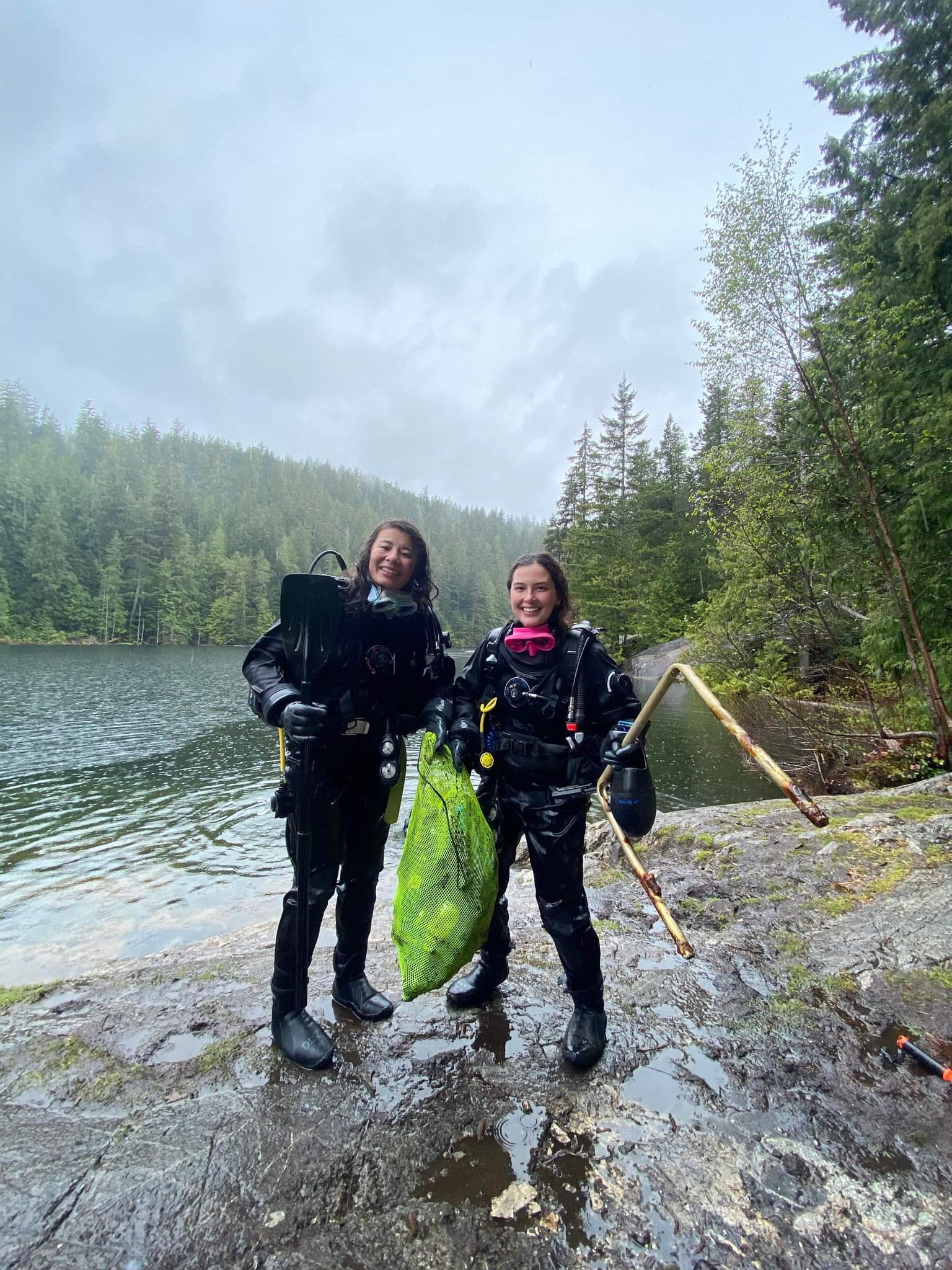
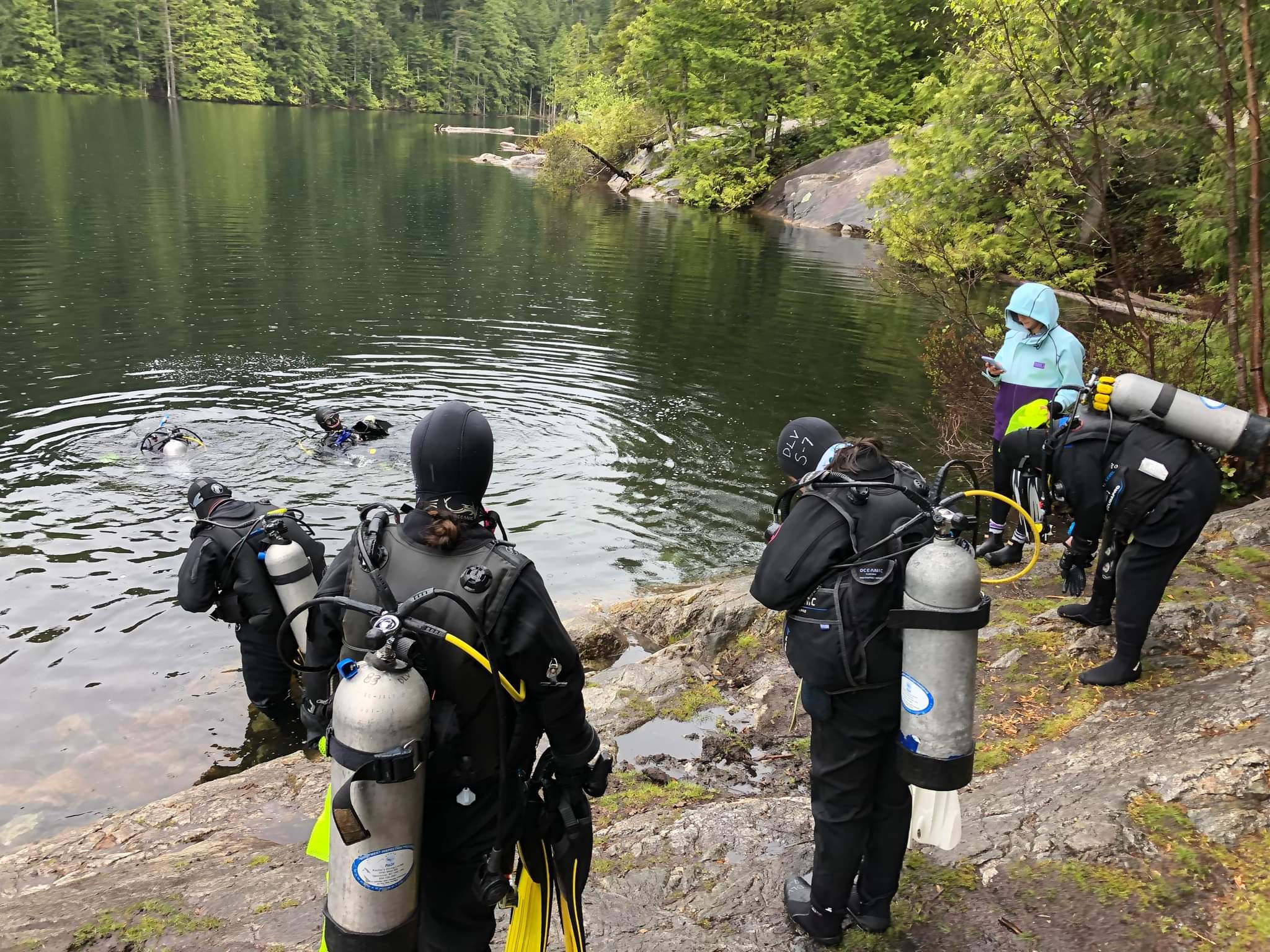
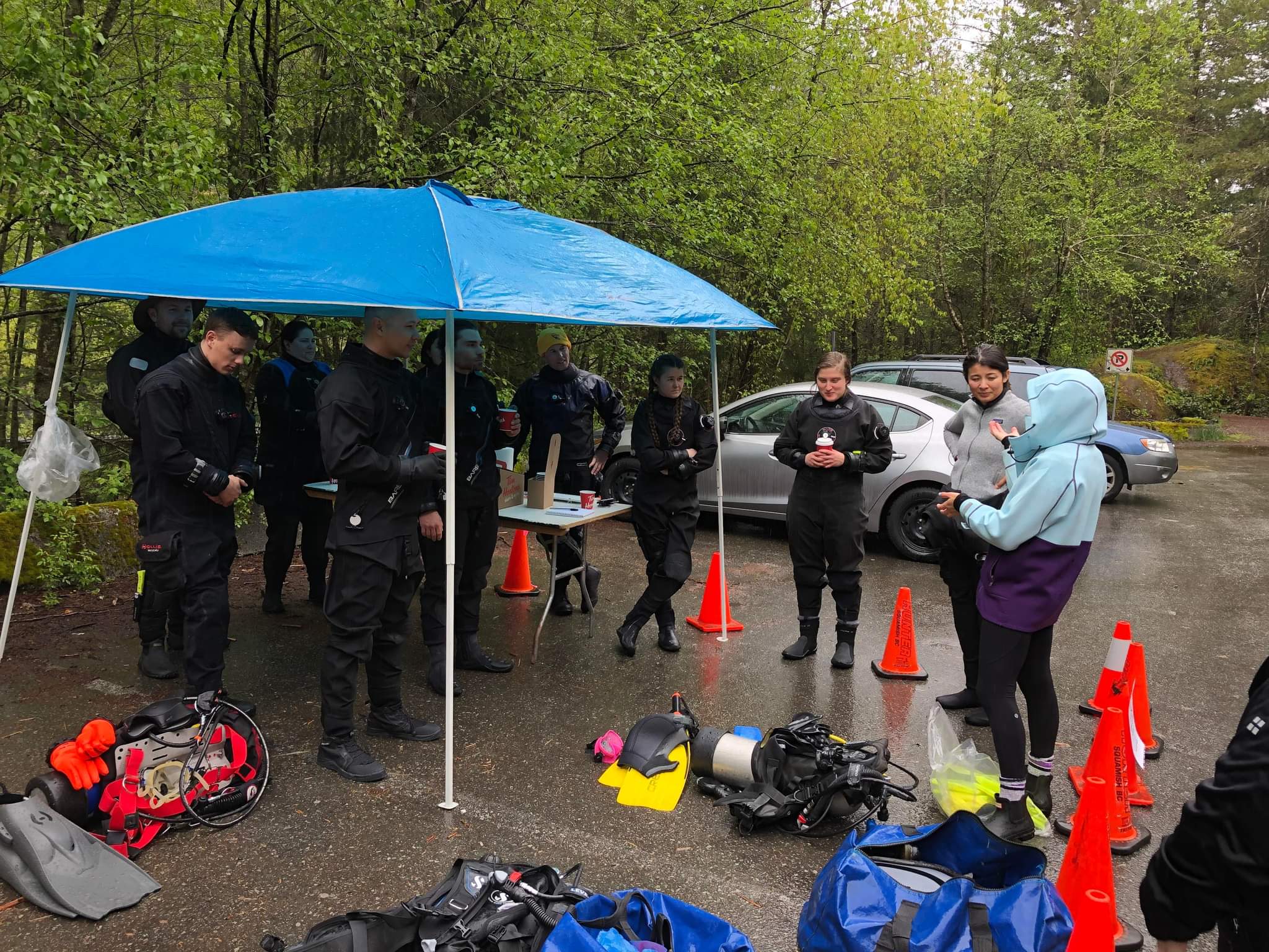
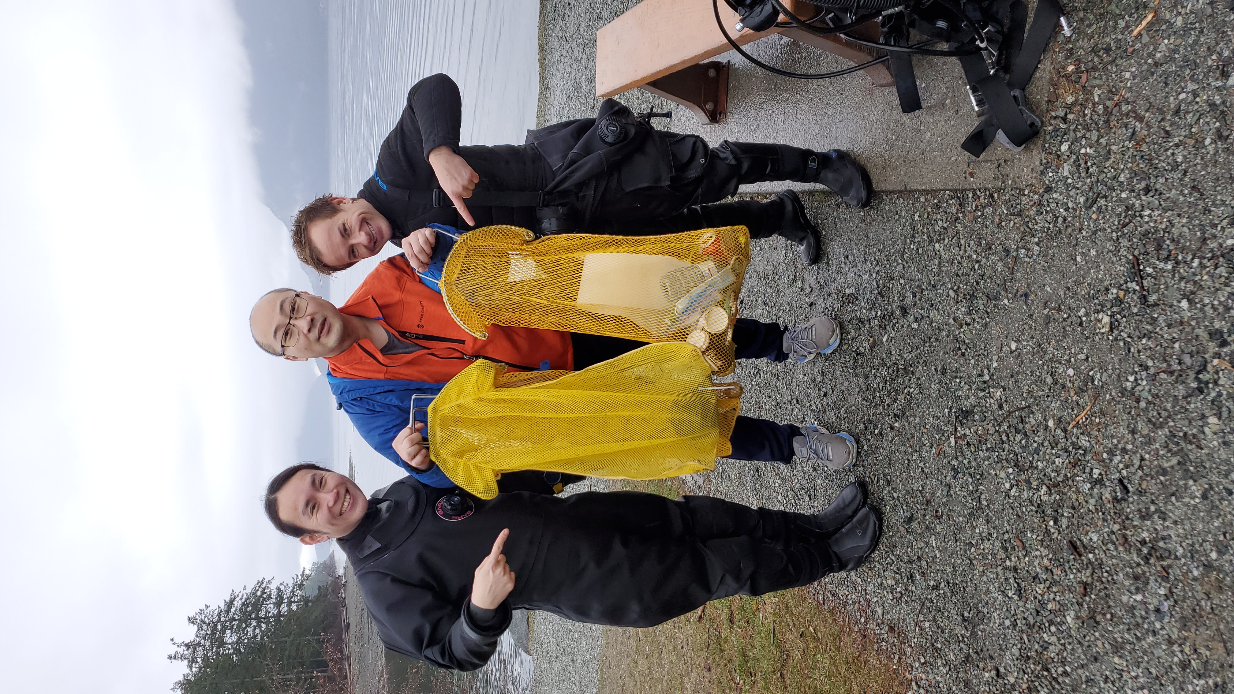
We need to actively protect the marine environment.
Let's protect Ulleungdo Island, a clean sea.
Let's protect Ulleungdo Island, a clean sea.
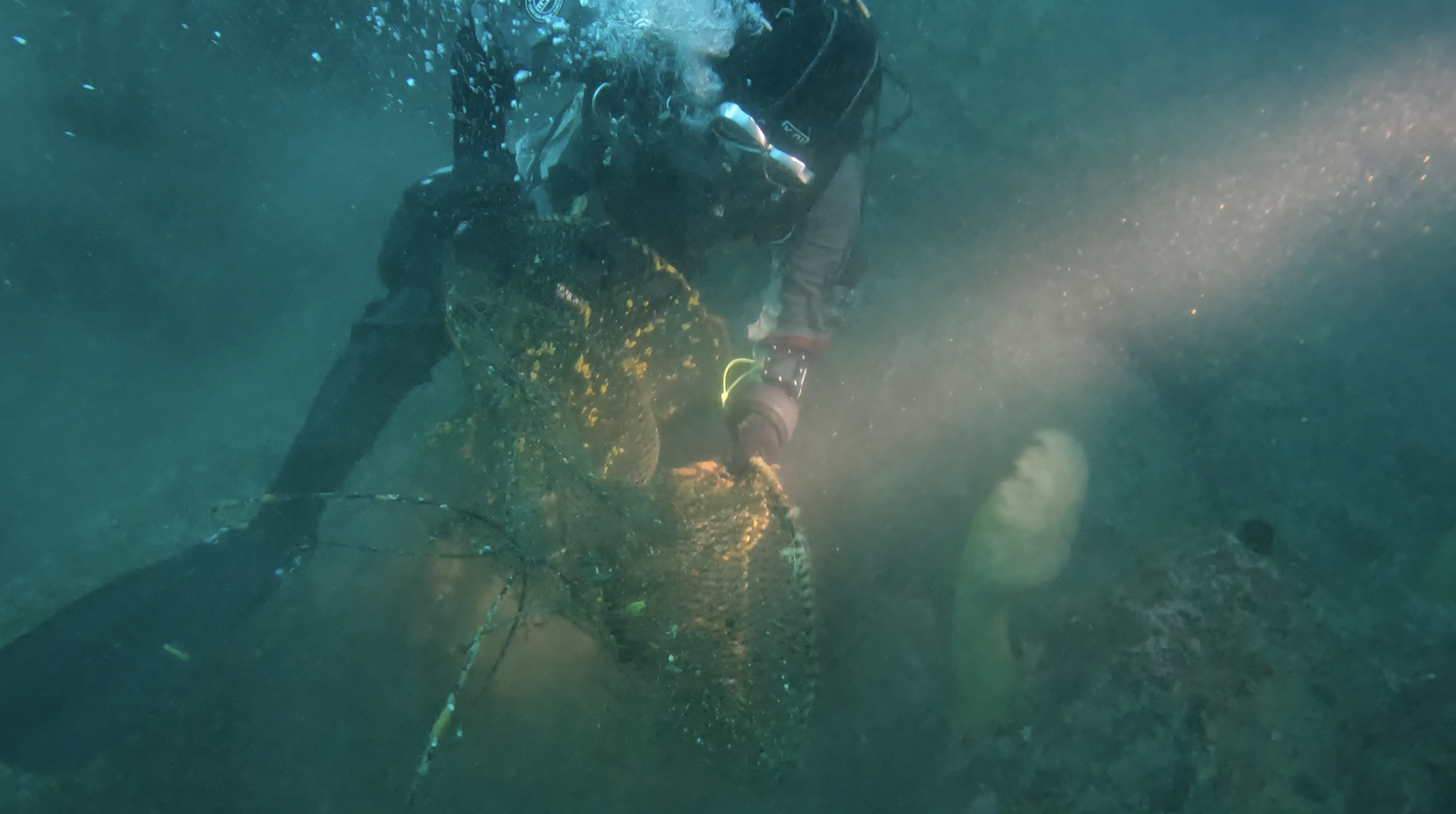
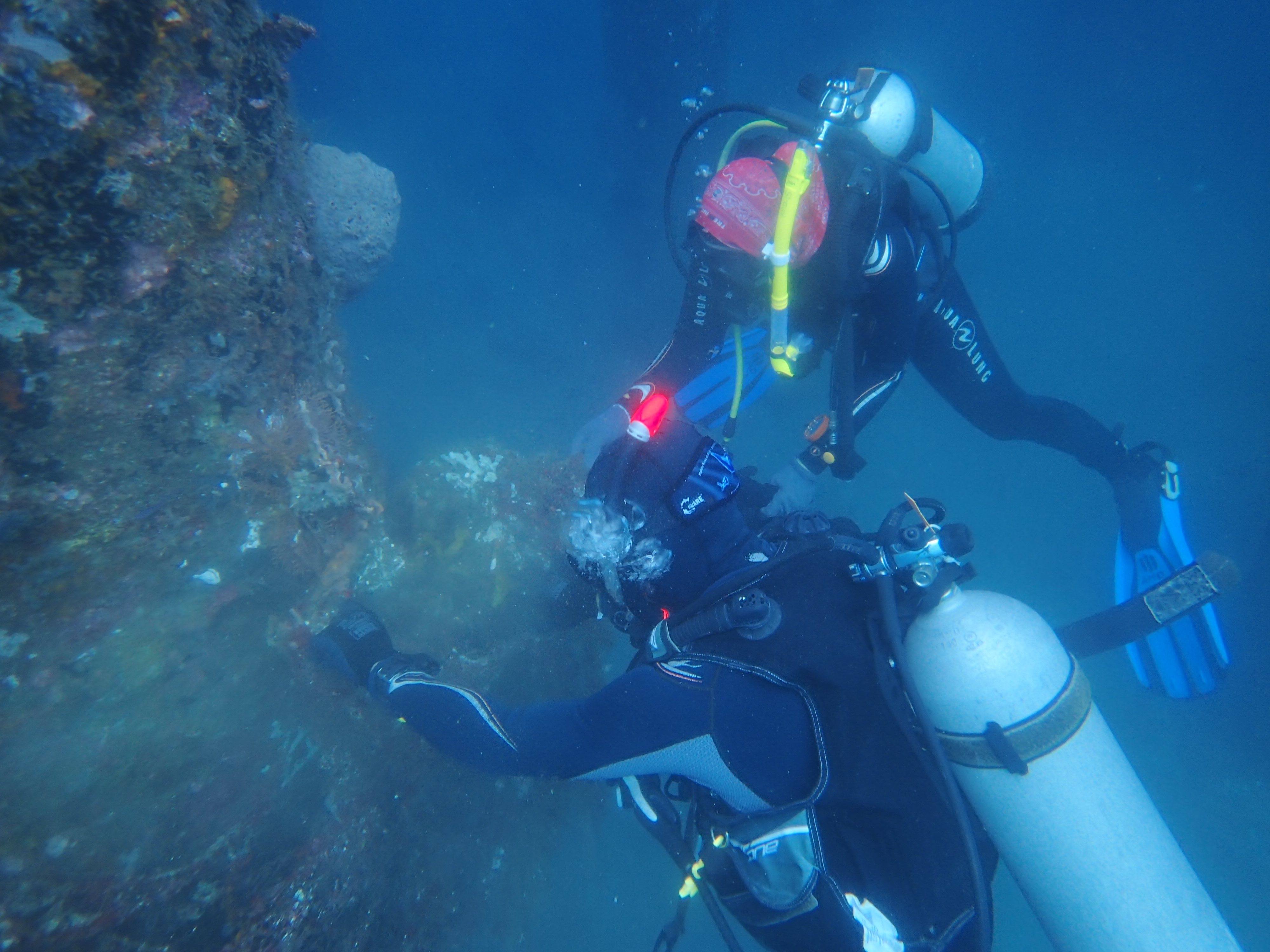
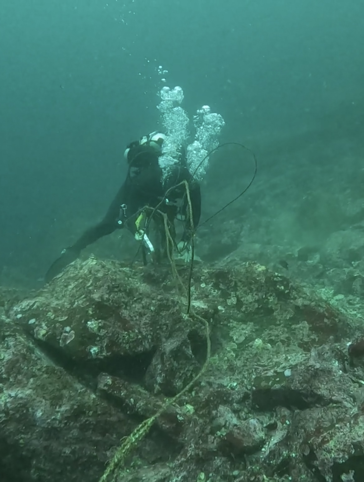
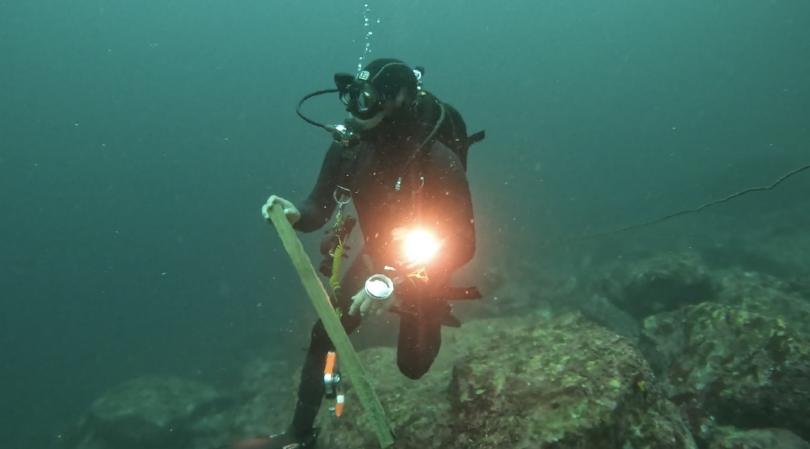
a small ship anchor
fine and clear weather
a calm sea
a calm sea
1
28
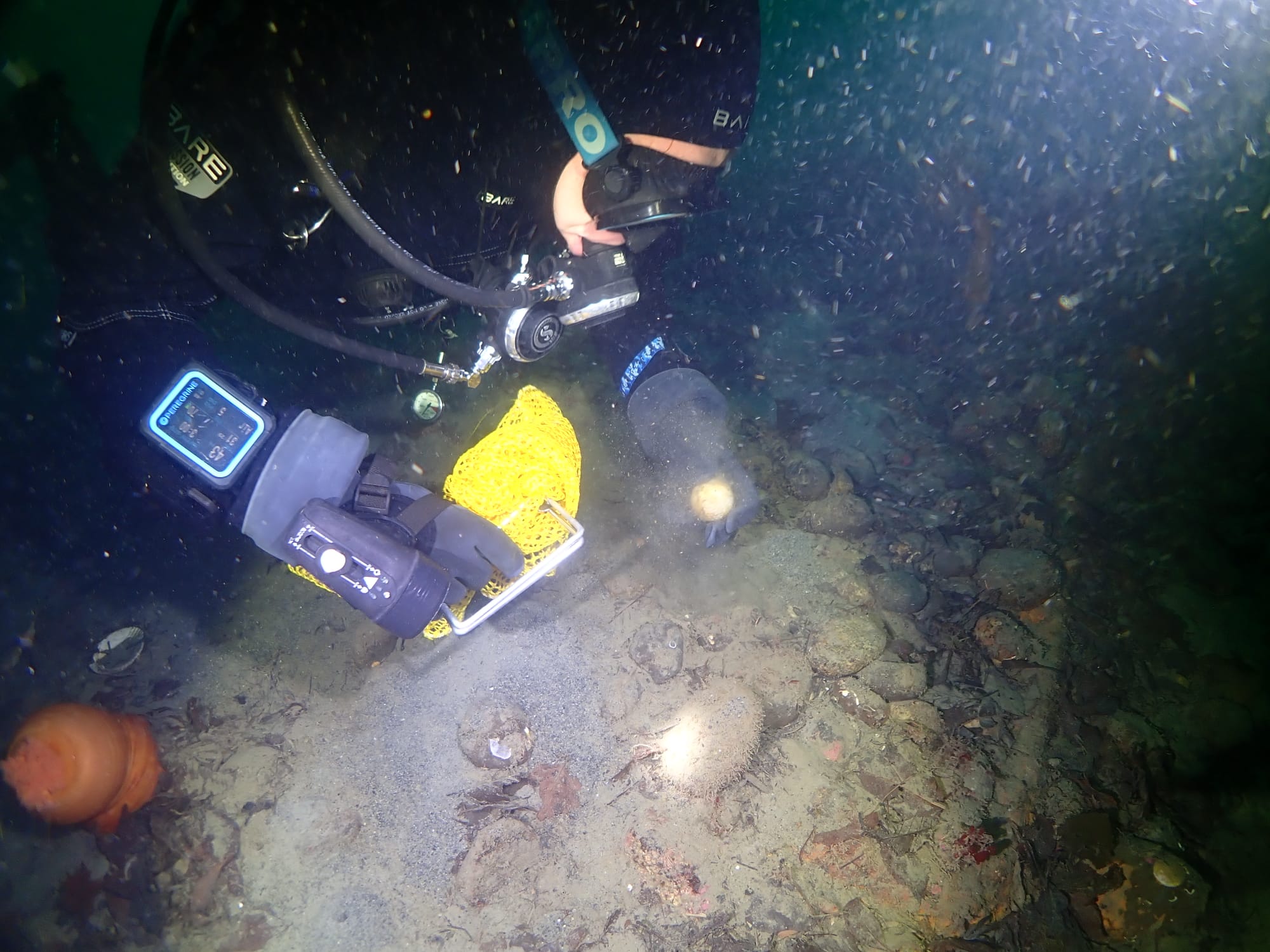
anchor
Starfish
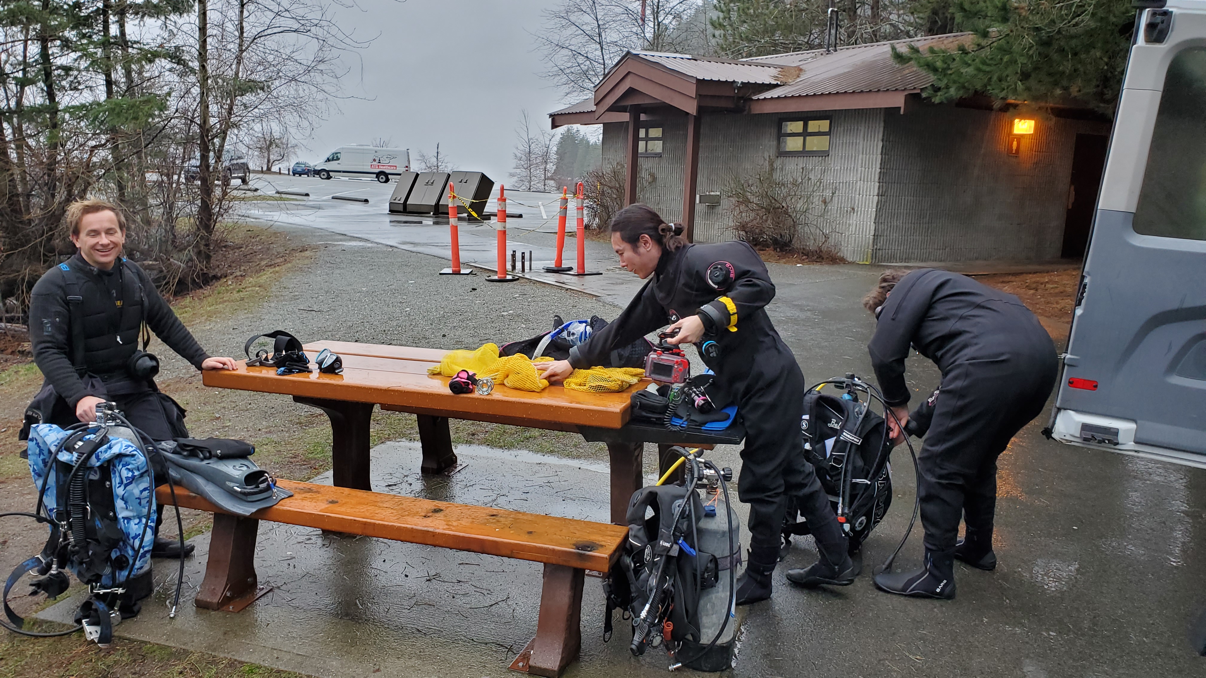
Scubainfo/Hak Po Dive Resort
Jong Sung Won
6
26.00
50
23.00
5.00
2
estimated
1
140.00
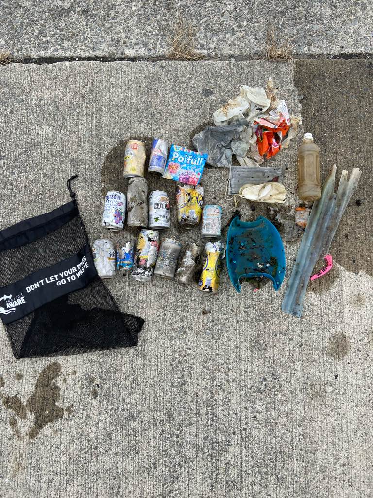
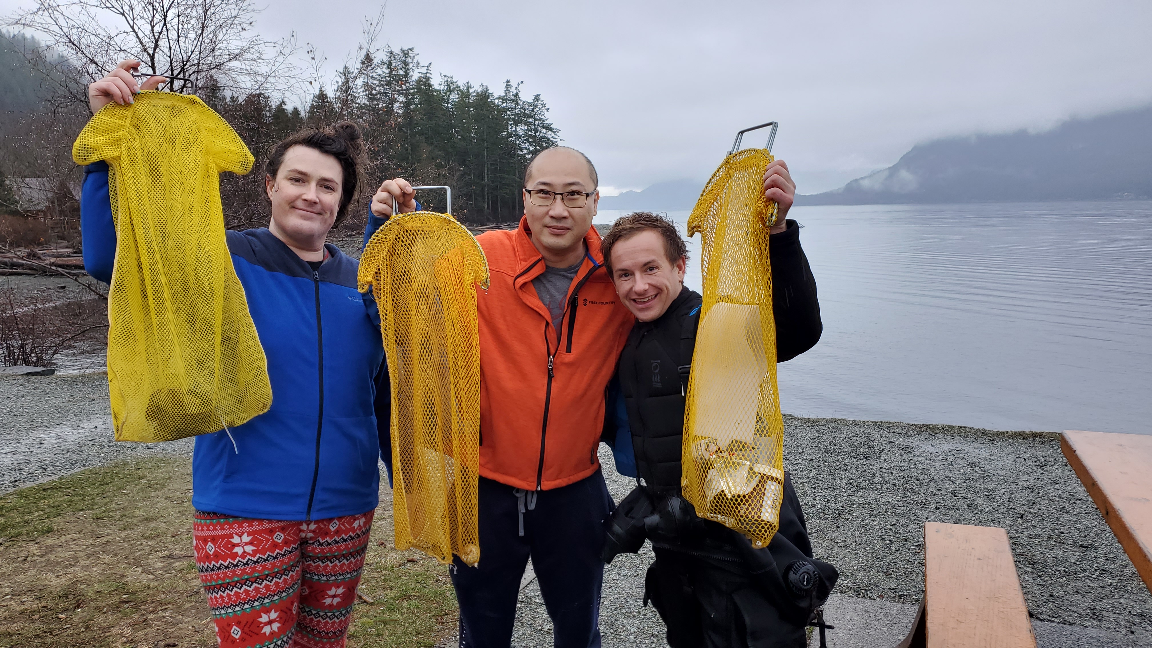
a plastic bottle
On
kilograms
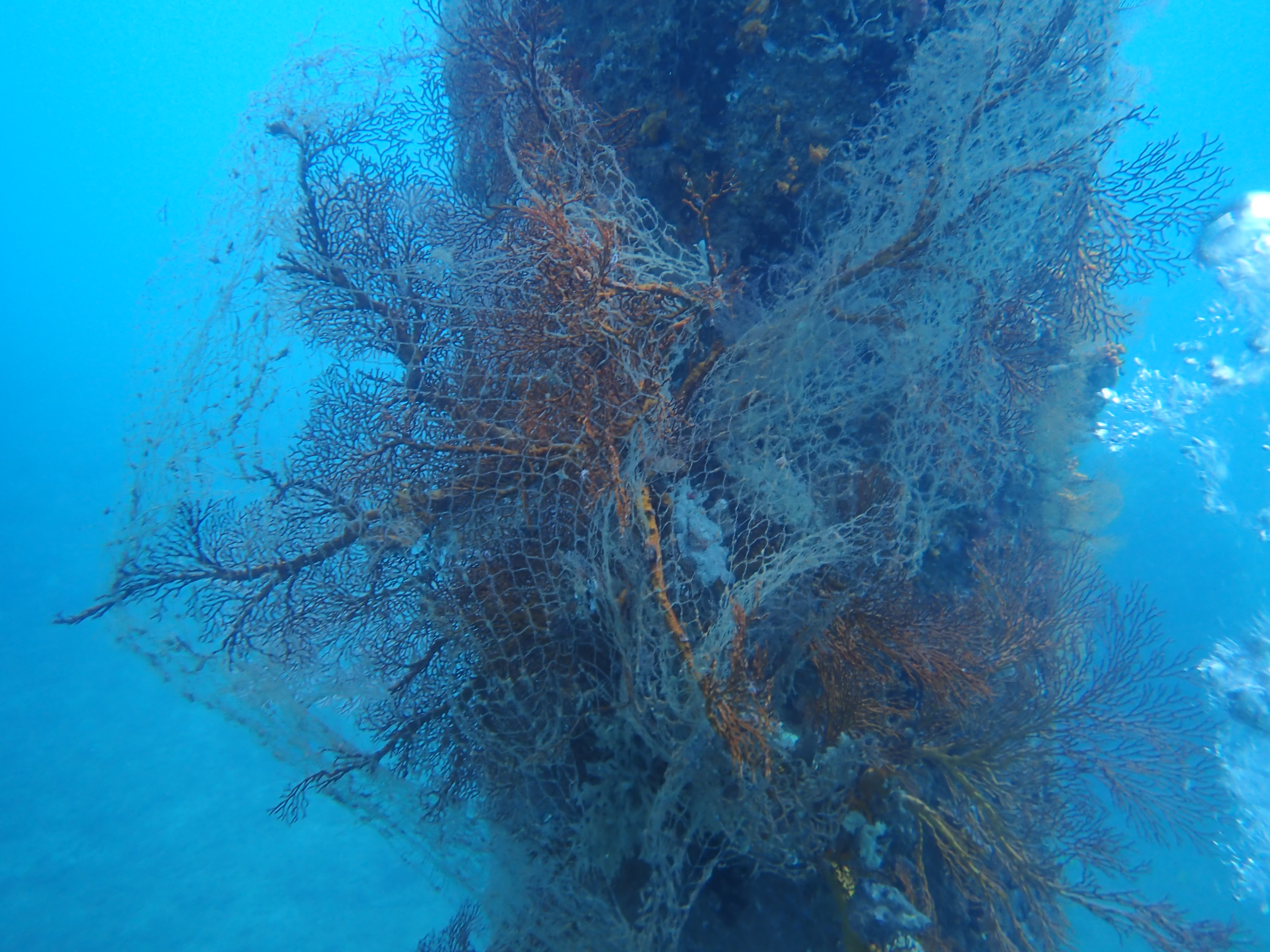
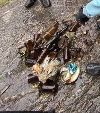
I have debris data to report
Calm (glassy to rippled) for waves 0 – 0.1 meter high
3
m2
2
meters
seagrass
1
0
2
3
State\Province
Gyeongsangbuk-do
City
Ulleung-gun
Map Help
Dive Location
If you know your survey site coordinates, enter them manually in decimal degrees using WGS84 Map Datum. Use the minus sign for latitudes south of the equator and longitudes west of the Prime Meridian to 180 degrees.
If you do not know your survey site coordinates, click the “Map Location” tab to use the map to zoom into your survey site and drop the pin on the map to fall within your survey dive site in the water (not on land or the beach). Ensure you zoom in as much as possible to ensure data accuracy.
Entangled Help