
Dive Against Debris Data Submission
HTMS Chang Wreck
4 February, 2023
- Team Leader
- Pathompong Phongsaporamut
- Number of Participants
- 1
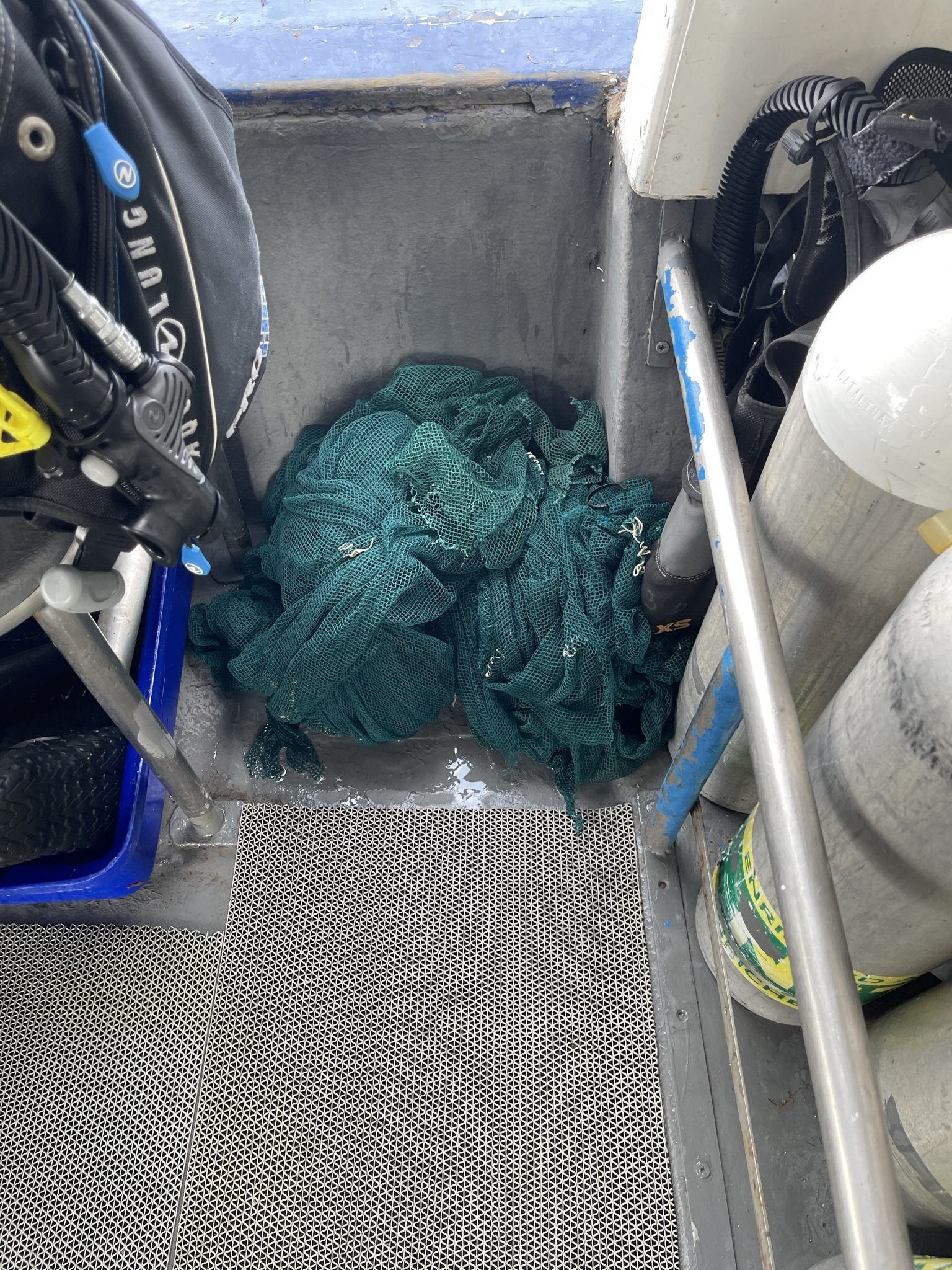
- Total Debris Collected
- 3 kgs (estimated)
11.914048778251, 102.21920013428
Survey Information
- Location Name
- HTMS Chang Wreck
- Organization/Dive Centre
- MV January Princess
- Country
- Thailand
- Date
- 4 February, 2023
- Survey Duration
- 30 Minutes
- GPS Coordinates
- Latitude: 11.914048778251
Longitude: 102.21920013428
- Weather Conditions
- Survey Depth Range
- 20–25 meters
- Area Surveyed
- 150 m2
- Dominant Substrate
- sand
- Ecosystem
- Shipwreck
- Wave Conditions
- Smooth (wavelets) for waves 0.1 - 0.5 meter high
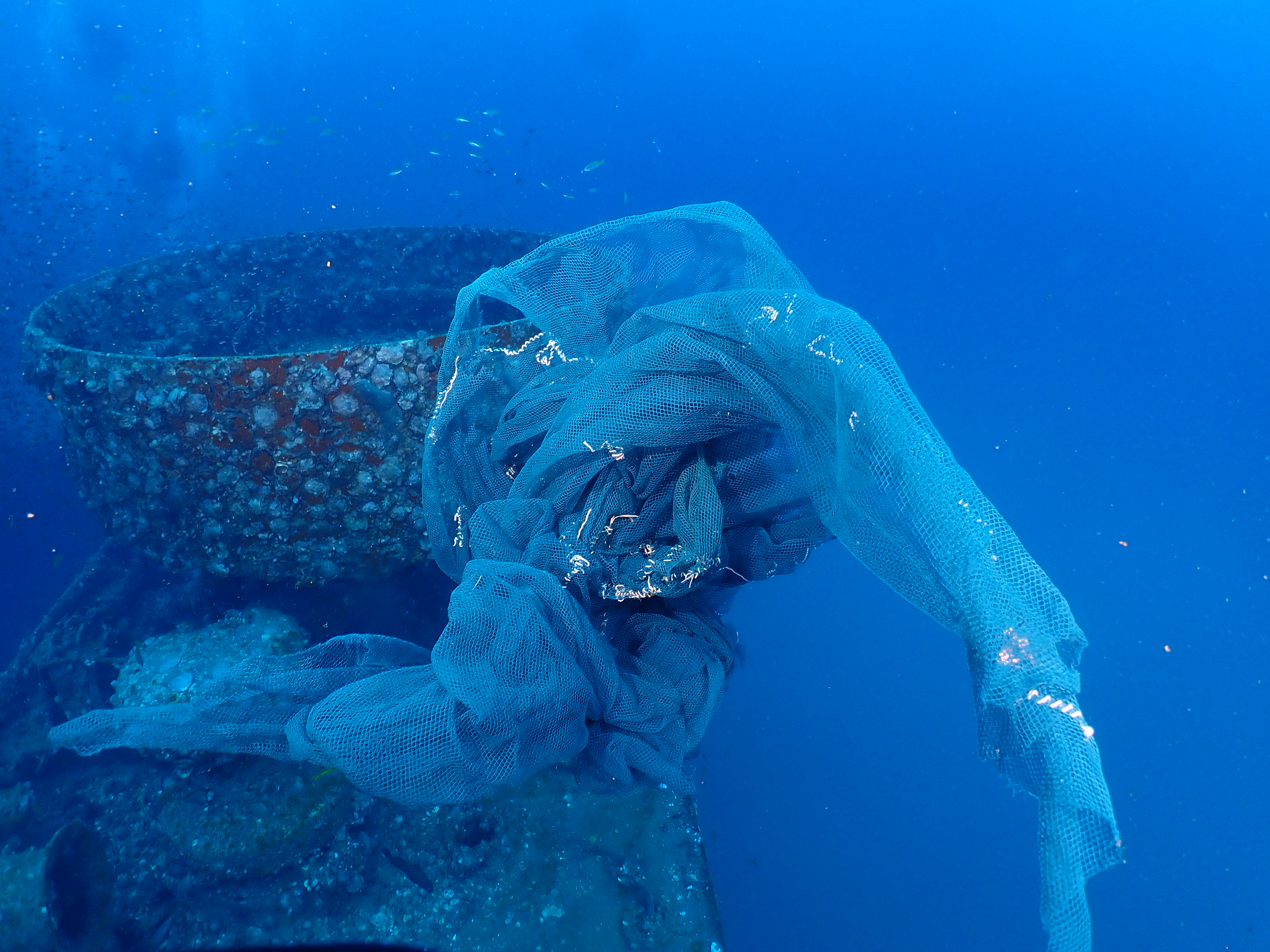
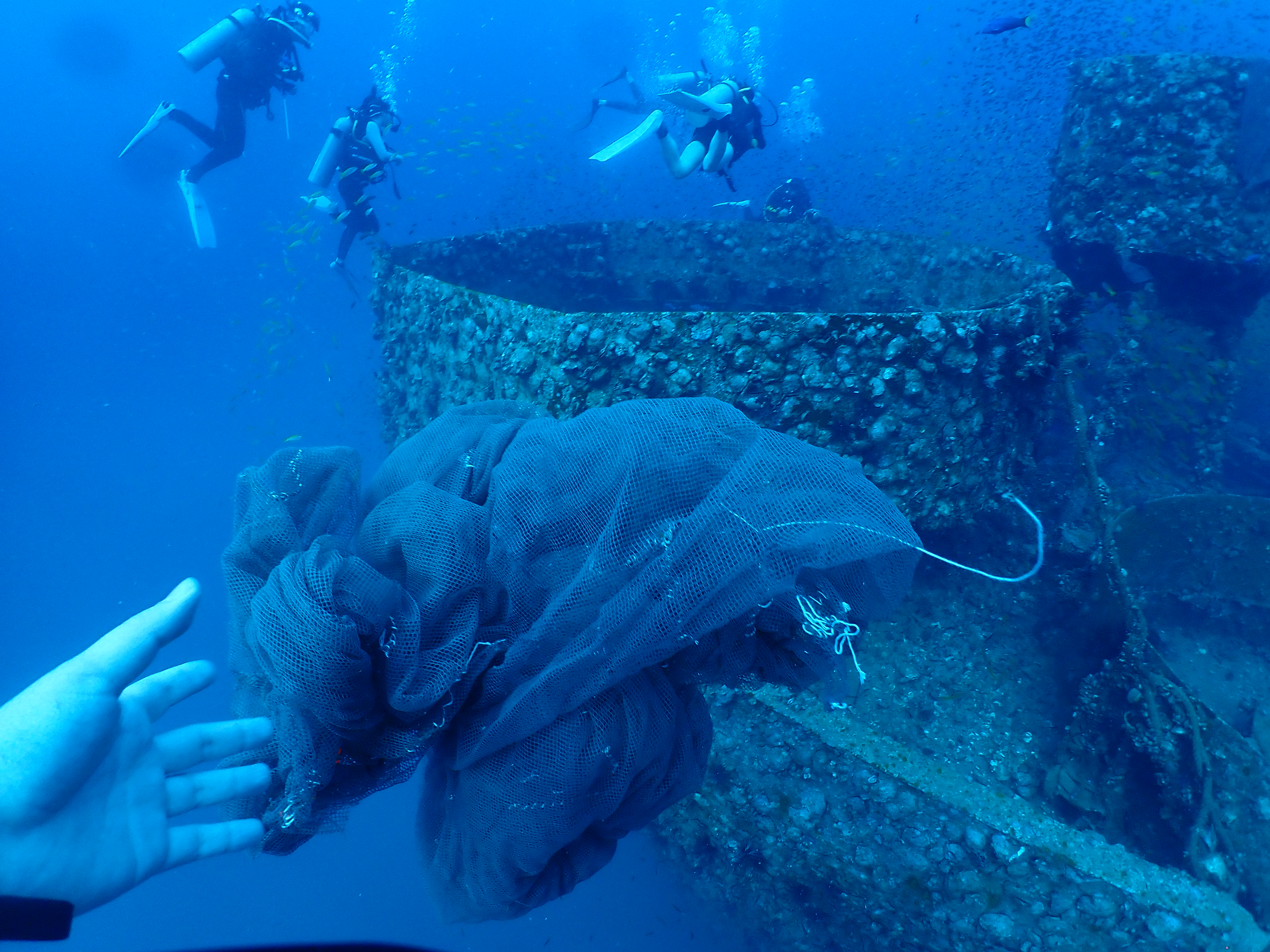
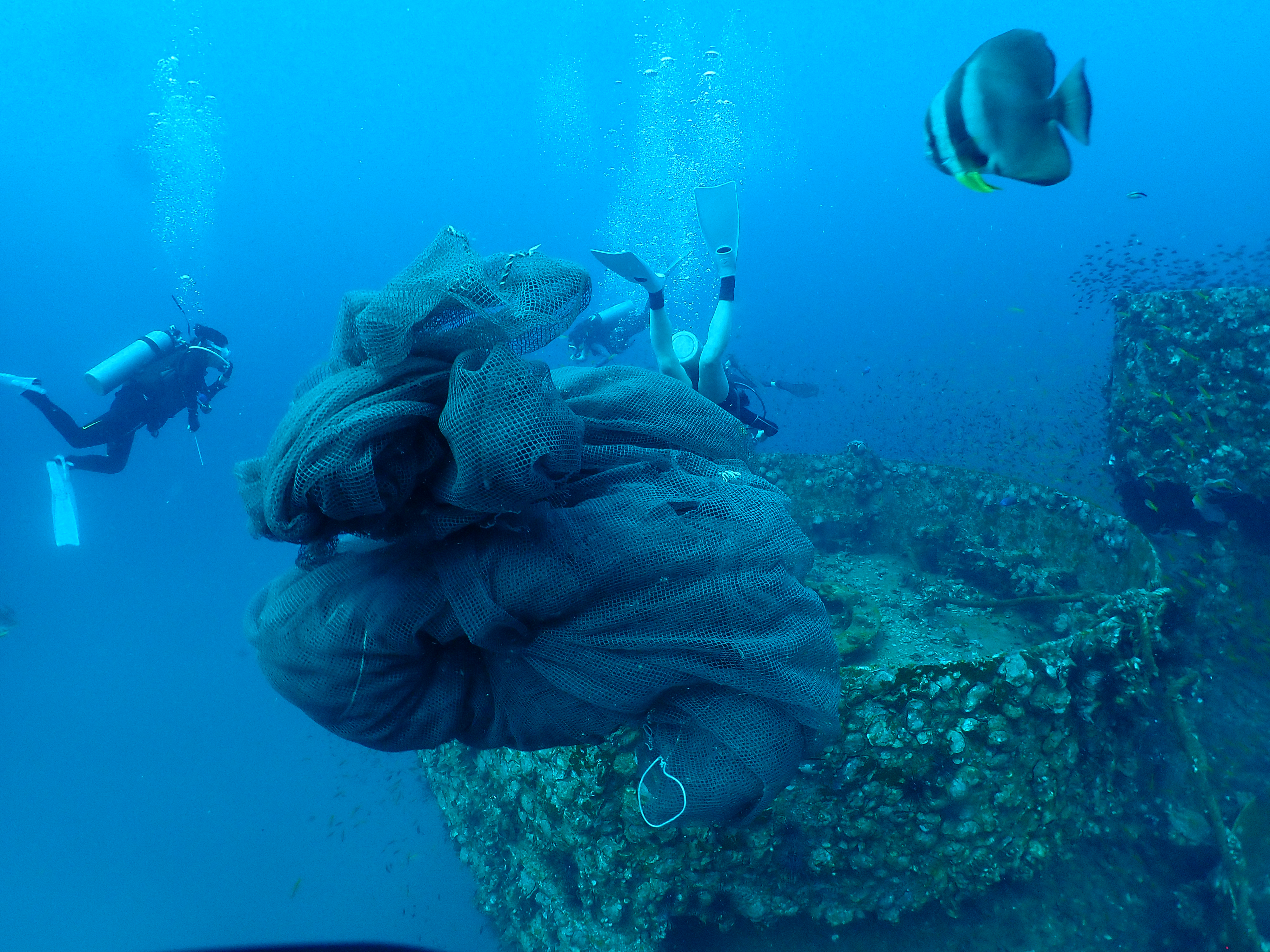
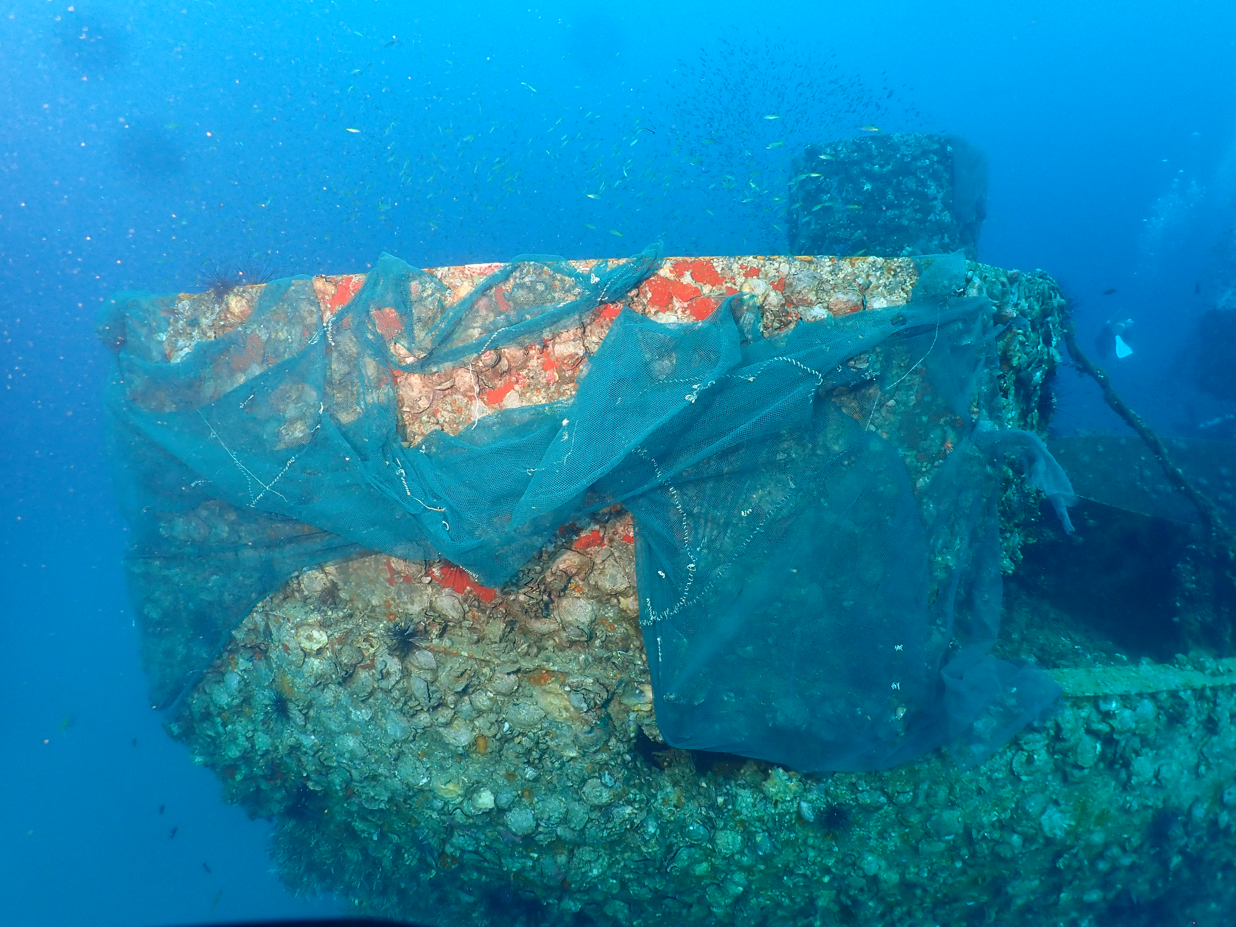
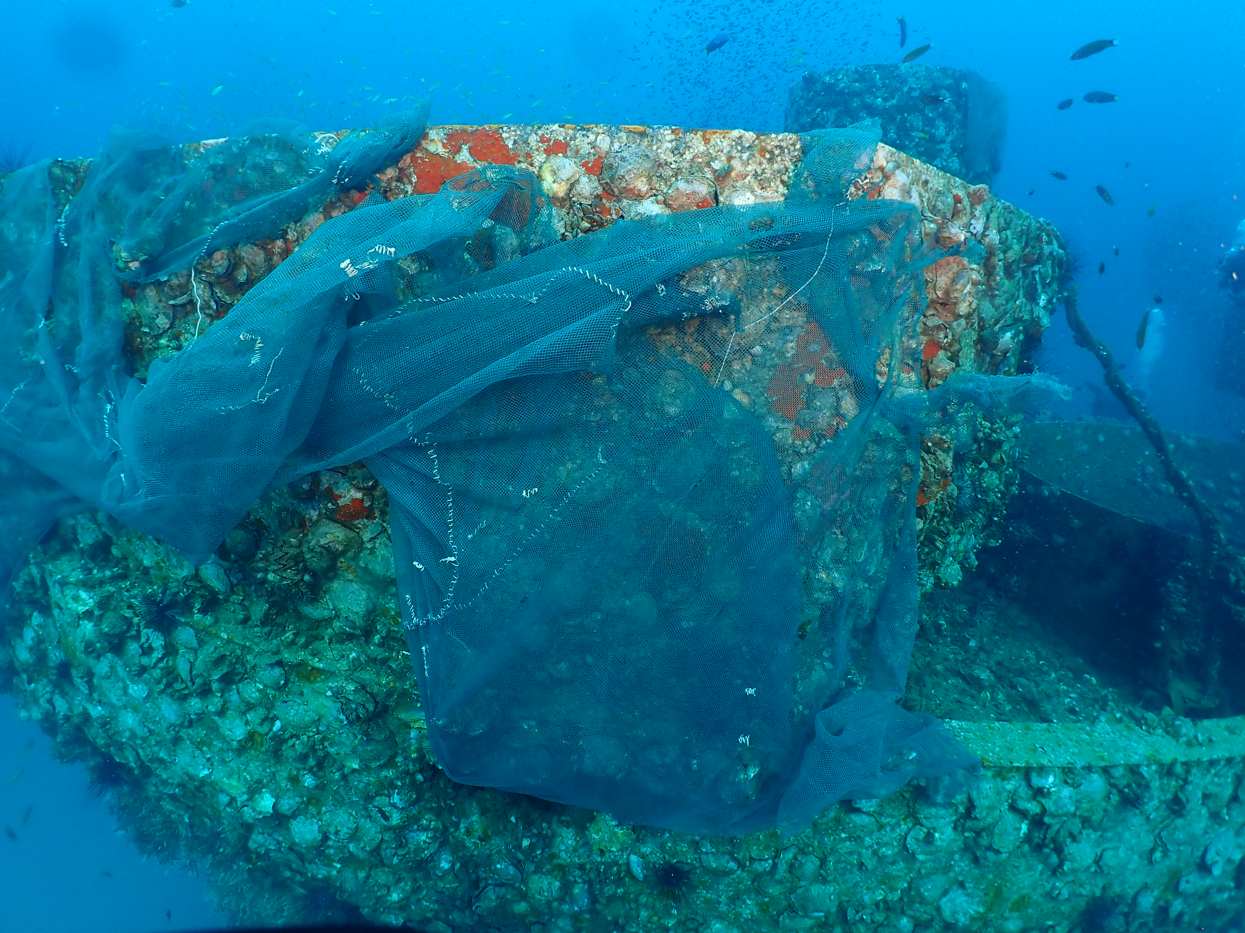
Survey Photos
Debris Items Collected
| plastic materials collected | |
|---|---|
| Fishing: Nets & Pieces Of Nets | 1 |
Additional Information
Yes, the fisherman around the area have tried to drage a fishing net above the wreck but accidently stuck in front of the wreck at 25 meters.
Fishing net


