370761 Point Panic
2
1
86
1
rock
86
21.290255223917, -157.86092561594
Lookin better in the harbor!
pacifier
Heavy Rain and wind
1
1
1
1
5 Gallon Water Jug
Glasses
Pacifier
Aluminum Flashing
Nudi Wear
Ryan Scalf
2
1
1
1
1
2
41
1
1
2
7
2
206.00
50
26.00
4.00
3
measured
123
300.00
2
3
On
pounds
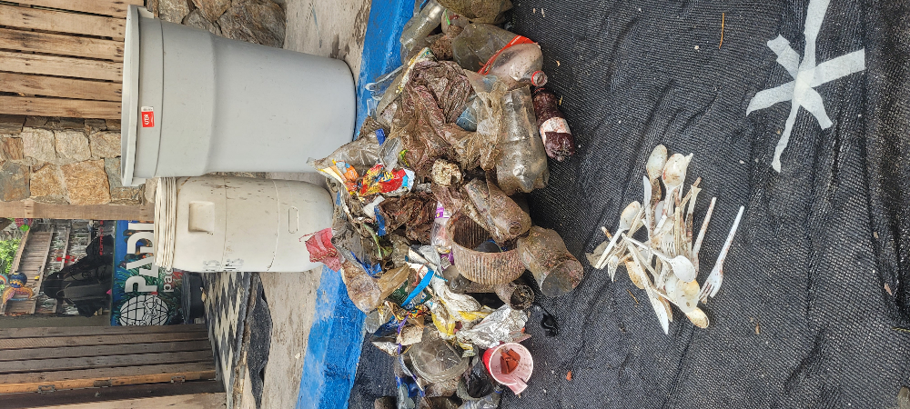
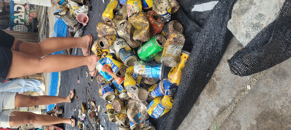
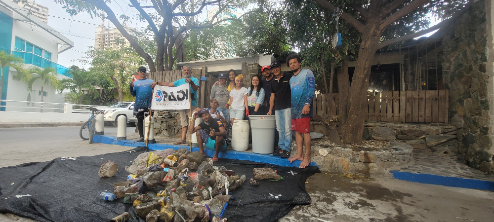
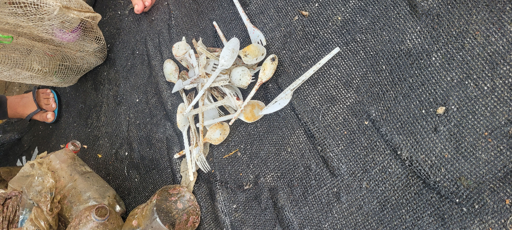
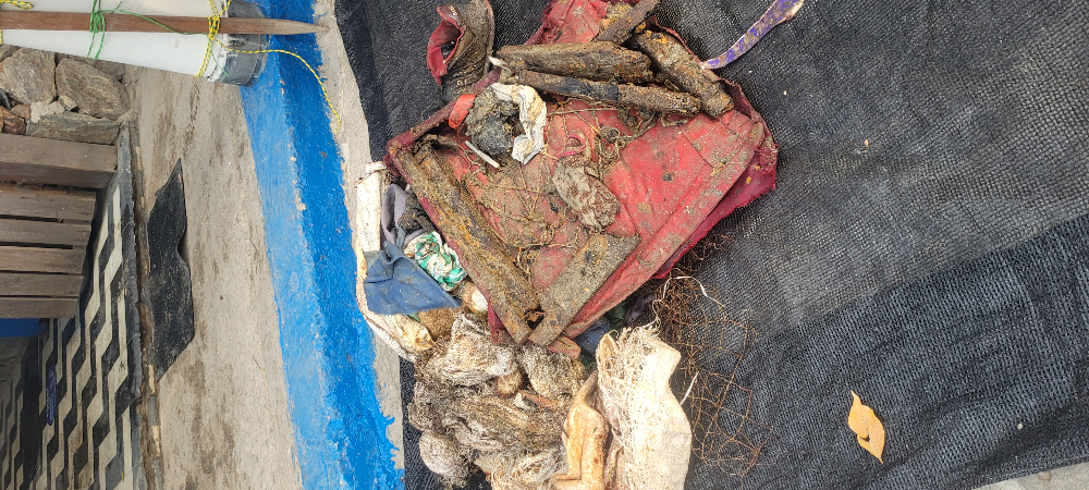
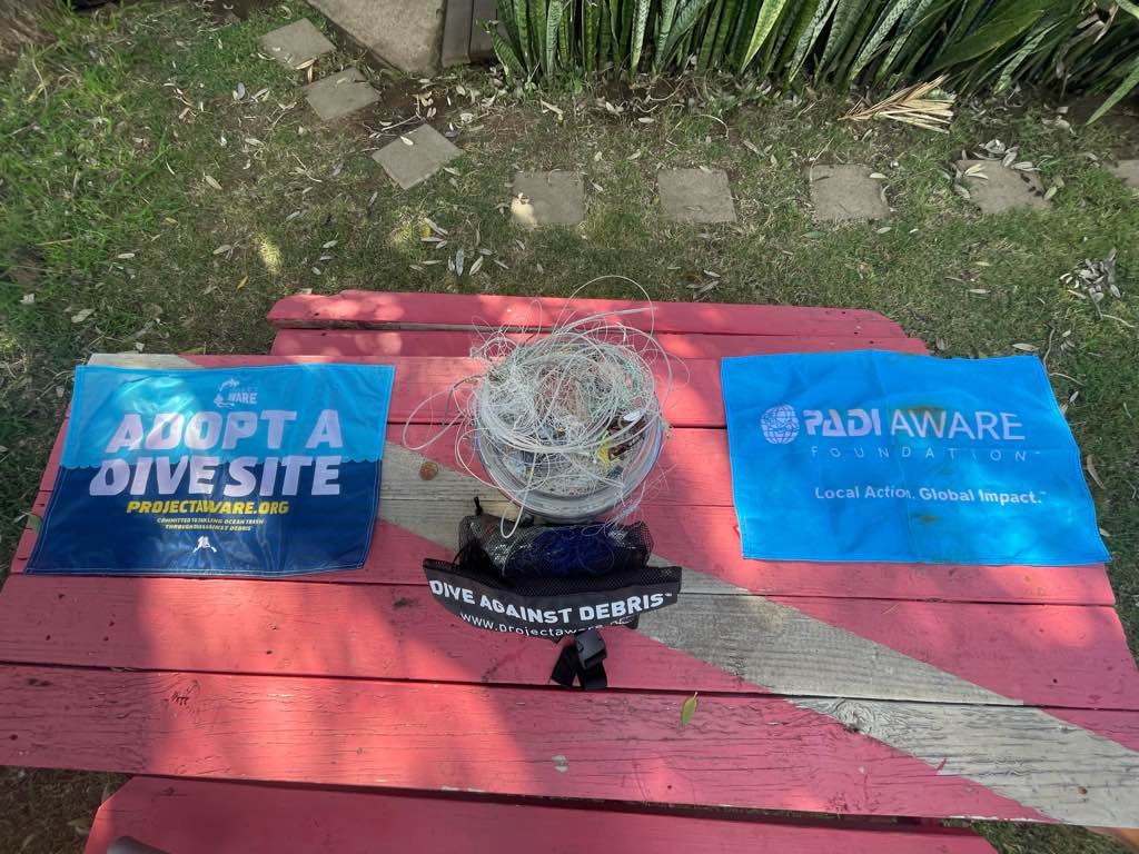
I have debris data to report
40
Slight for waves 0.5 -1.25 meter high
2
1
1
ft2


feet
rocky reef
19
1
4
26
147
State\Province
HI
City
Honolulu
Map Help
Dive Location
If you know your survey site coordinates, enter them manually in decimal degrees using WGS84 Map Datum. Use the minus sign for latitudes south of the equator and longitudes west of the Prime Meridian to 180 degrees.
If you do not know your survey site coordinates, click the “Map Location” tab to use the map to zoom into your survey site and drop the pin on the map to fall within your survey dive site in the water (not on land or the beach). Ensure you zoom in as much as possible to ensure data accuracy.
Entangled Help