Hunter Spring
sand
United States
5
9
28.894653044834, -82.592750403455
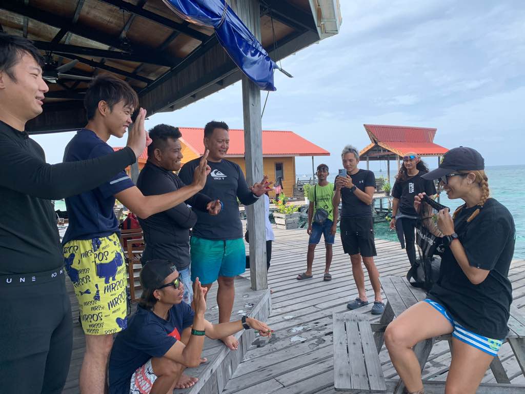
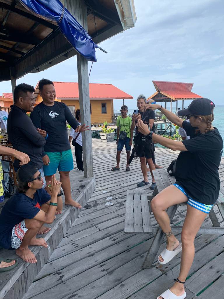
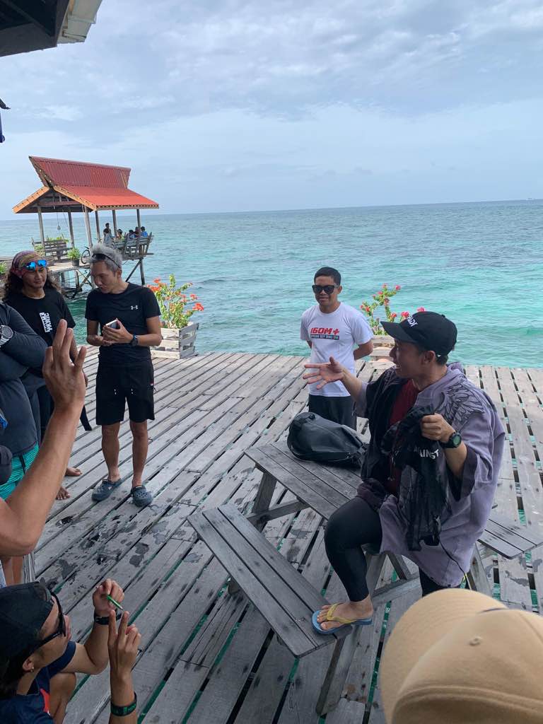
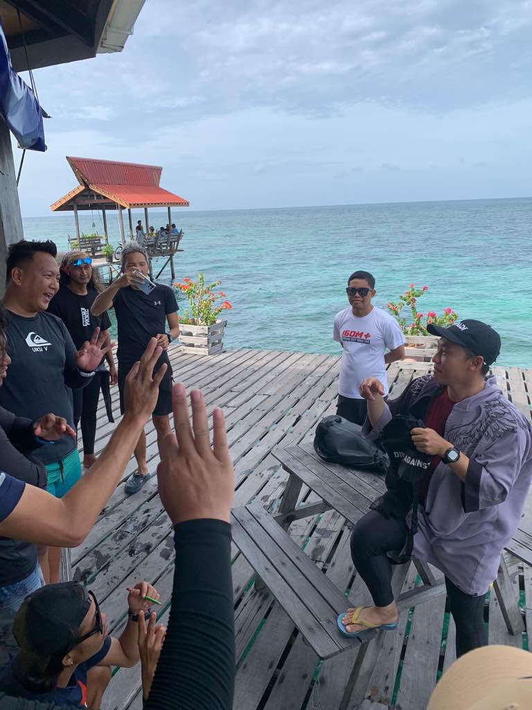
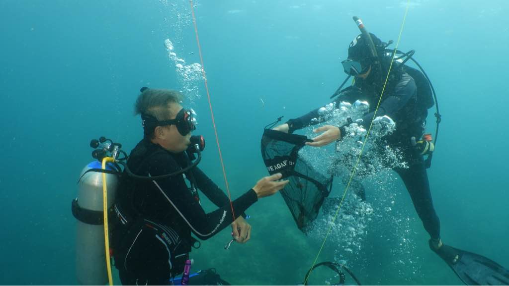
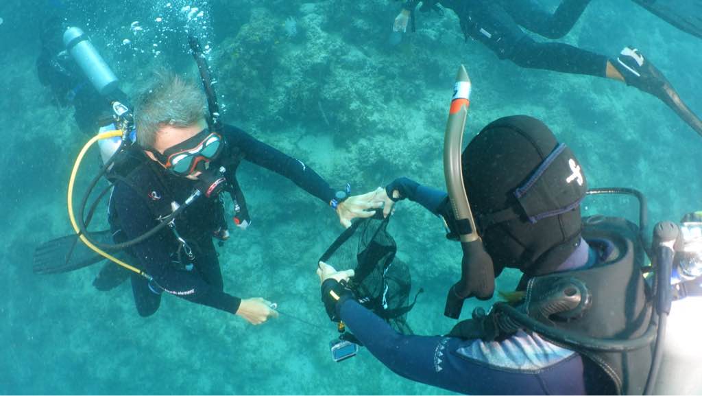
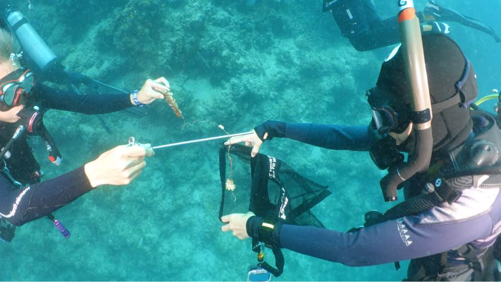
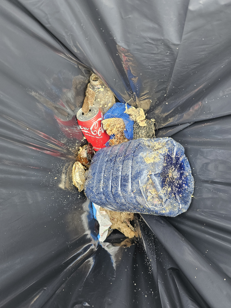
This area is a warming area for manatees during the winter months.Dabris could be harmful as well as human interaction could cause animal to leave area that could potentually save them from hypothermia.The crystal river area is a major tourism hub and this area is the only area which isnt regulated for people just walking in to the spring and harassing and loosing trash and other item and is why i surveyed this area
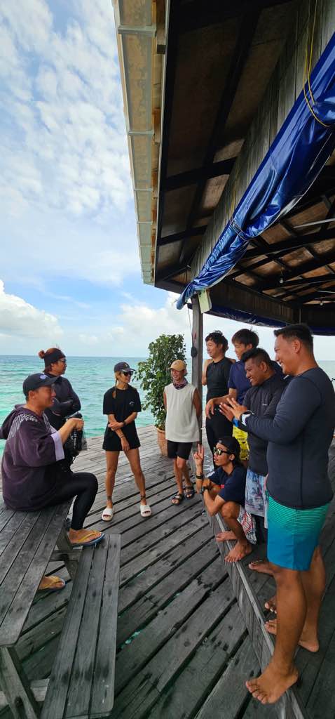
People public beach area
City should regulate the dabris carried to the beach area springs in crystal are home to manatees during the winter
months and could swallow dabrise
months and could swallow dabrise
Steel bar
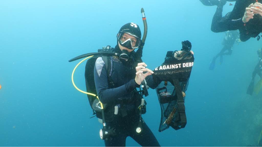
Cloudy cold water clarity 15 ft
12 lbs steel bar
unidentified
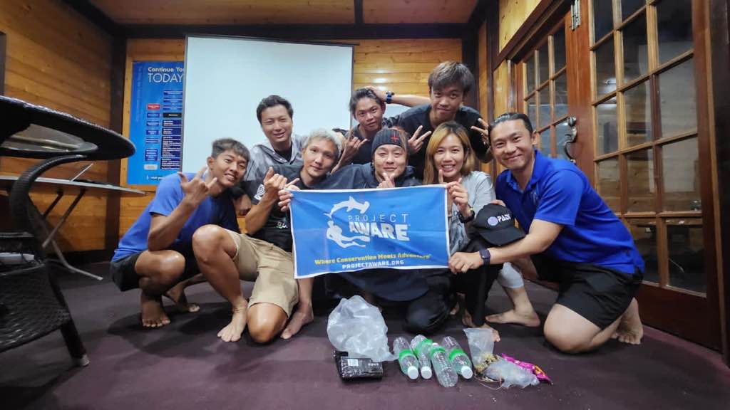
Seadaddys Dive Center
Kenneth Milby
11
9
6
4
24
16.00
55
14.00
3.00
estimated
800.00
snorkel equipment
plastic bottle
On
pounds
I have debris data to report
6
Calm (glassy to rippled) for waves 0 – 0.1 meter high
ft2
feet
other
State\Province
Florida
City
Crystal river
Map Help
Dive Location
If you know your survey site coordinates, enter them manually in decimal degrees using WGS84 Map Datum. Use the minus sign for latitudes south of the equator and longitudes west of the Prime Meridian to 180 degrees.
If you do not know your survey site coordinates, click the “Map Location” tab to use the map to zoom into your survey site and drop the pin on the map to fall within your survey dive site in the water (not on land or the beach). Ensure you zoom in as much as possible to ensure data accuracy.
Entangled Help
Use the vertical tabs below to record any entangled animals you found of each type.
Ecosystem Other
Public swim area srping