
RJ's Ledge
25.722417, -80.0992
25.722116494268, -80.111927253223
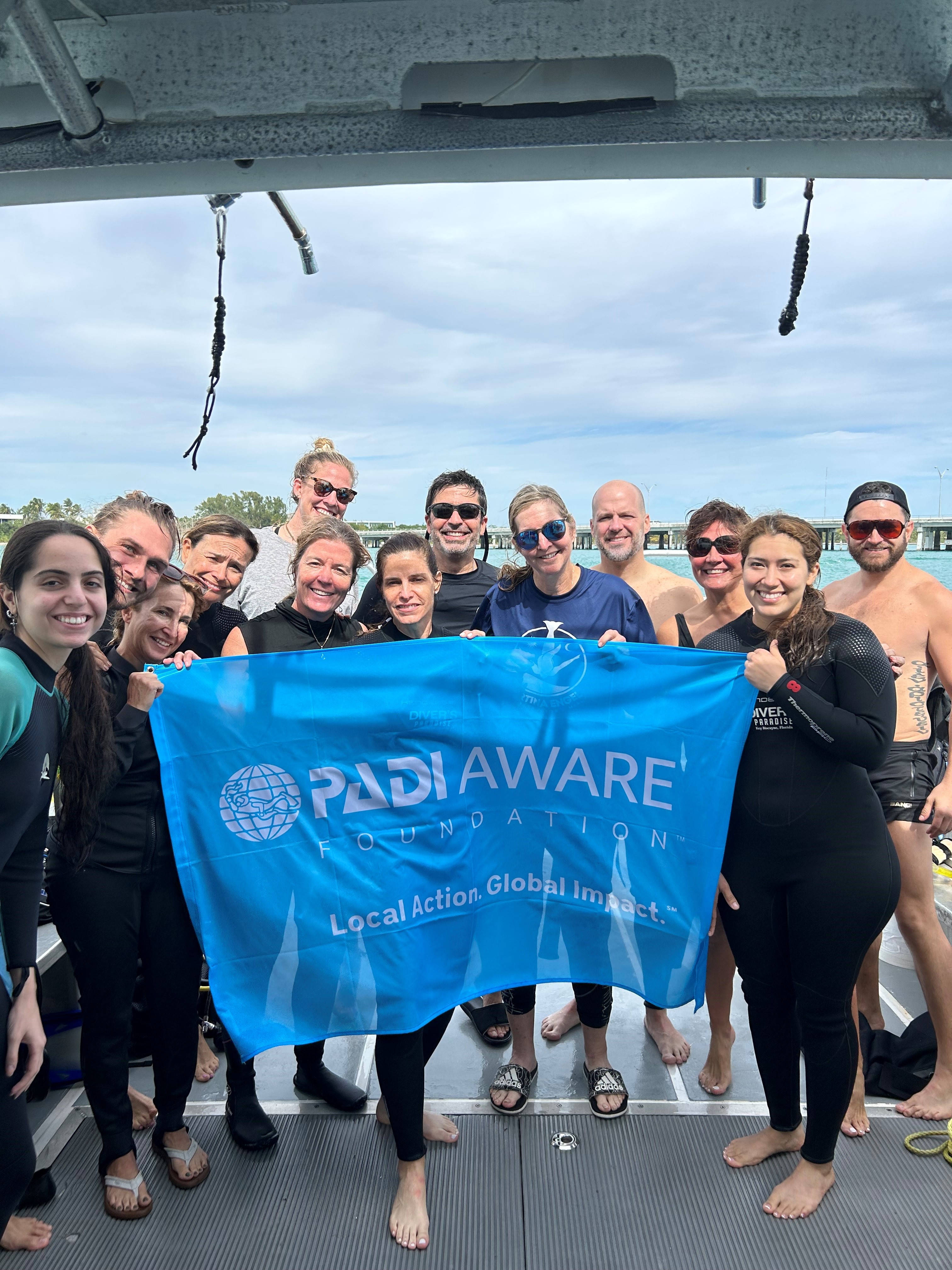
Because they just did one dive, the donations to project AWARE were also affected
no
Unfortunately, we just did one dive because of rough conditions.
no
Choppy waters, 3 - 4 foot waves, winds 20 knots, Gust 25. Surge
Divers Paradise
Martina Engel
12
0.00
60
30.00
20.00
measured
150.00
On
pounds
Our Survey Site was free of debris
Moderate to rough for waves greater than 1.25 meters
ft2
feet
coral reef
State\Province
Florida
City
Key Biscayne
Map Help
Dive Location
If you know your survey site coordinates, enter them manually in decimal degrees using WGS84 Map Datum. Use the minus sign for latitudes south of the equator and longitudes west of the Prime Meridian to 180 degrees.
If you do not know your survey site coordinates, click the “Map Location” tab to use the map to zoom into your survey site and drop the pin on the map to fall within your survey dive site in the water (not on land or the beach). Ensure you zoom in as much as possible to ensure data accuracy.
Entangled Help


