Roñosa
1
1
rock
5.5865415910972, -77.507789417149
artisanal fishing
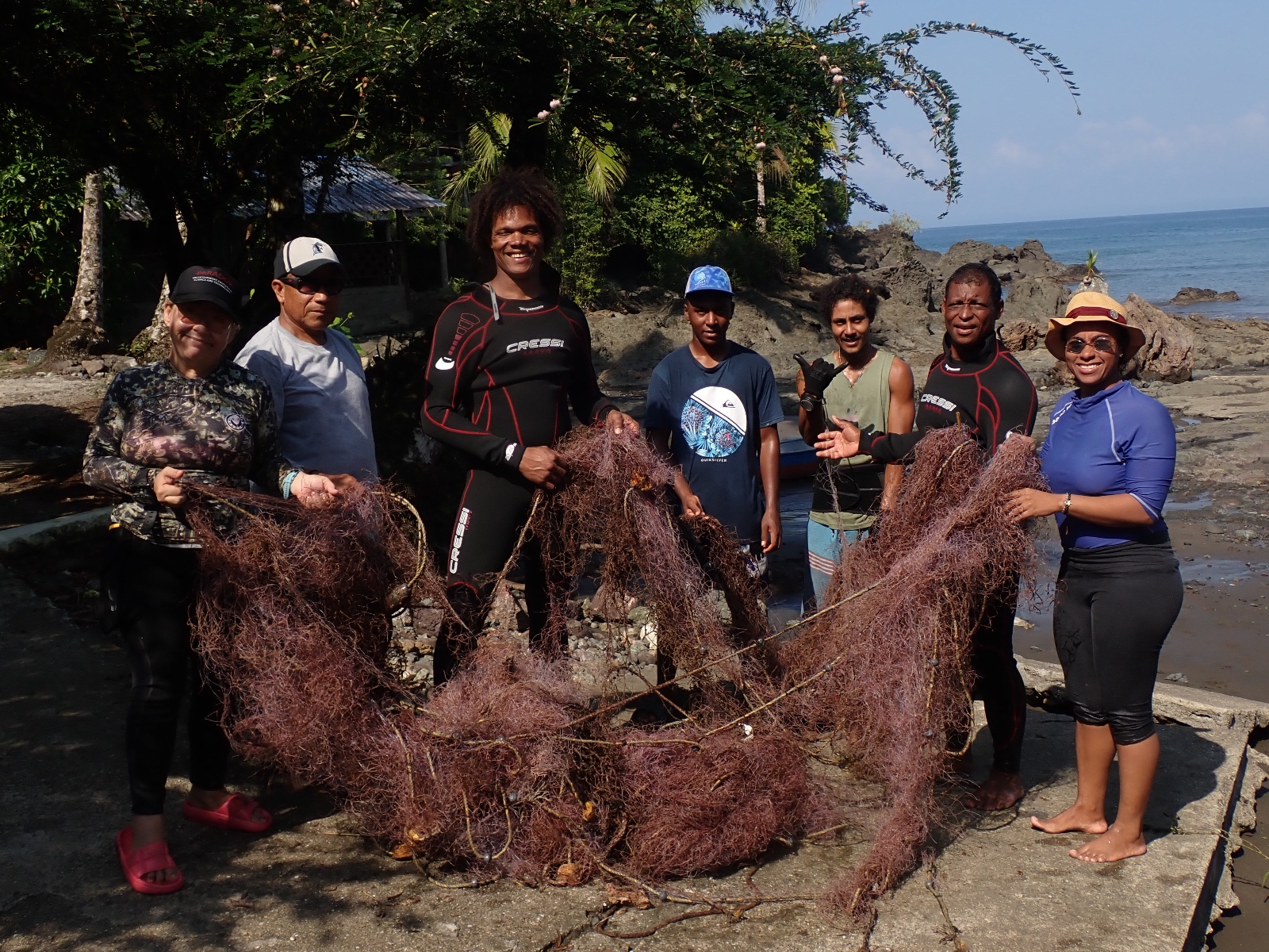
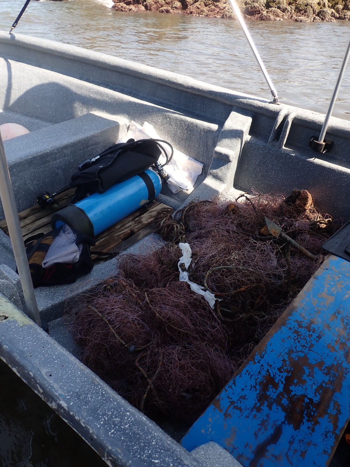
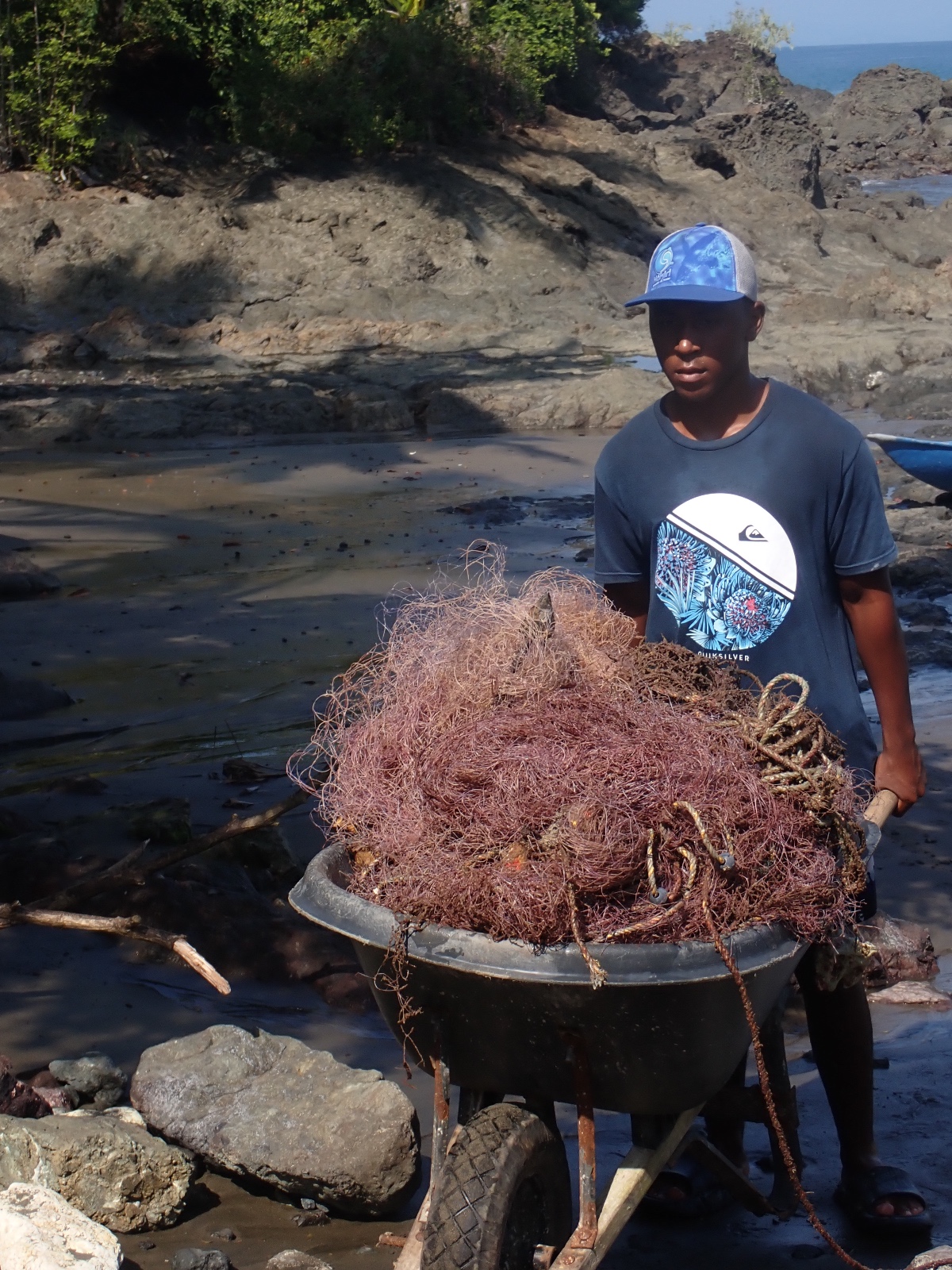
This clean-up was carried out by a group of local divers from the communities of the Gulf of Tribugá, as part of the project “Managing ghost fishing in the Colombian Pacific with a community-based strategy: https://ecomares.org/manejo-de-la-pesca-fantasma-en-el-pacifico-colombiano/
an anchor
Rainy
1
iron anchor
Kakiri
Liliana Arango
7
25
18.00
28
19.00
12.00
3
measured
4
960.00
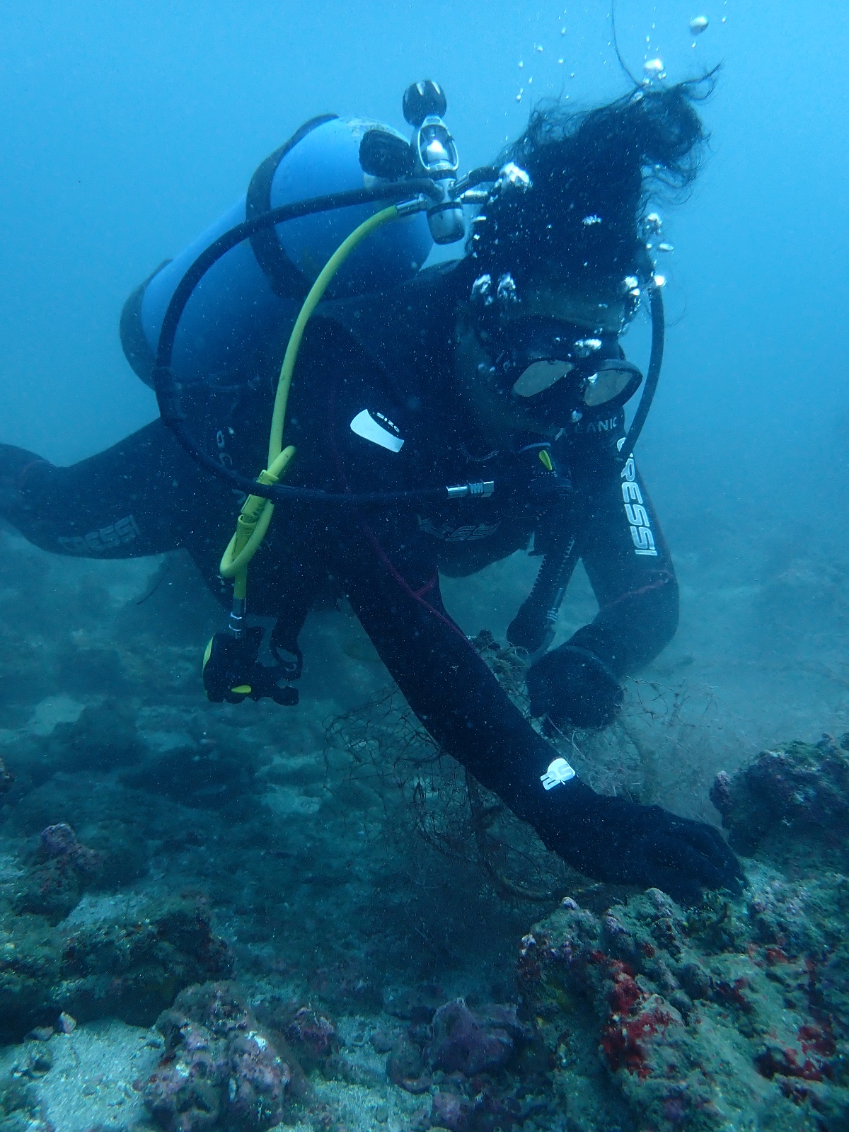
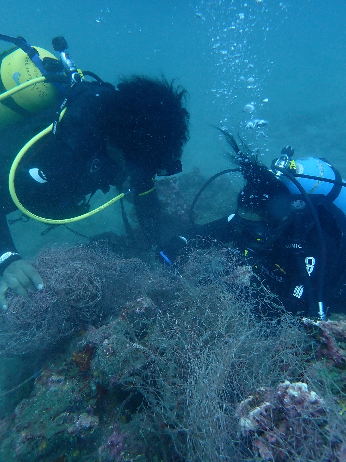
fishing net
rope
On
kilograms
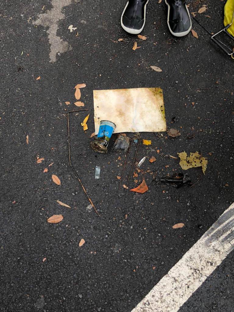
I have debris data to report
Calm (glassy to rippled) for waves 0 – 0.1 meter high
m2
meters
rocky reef
State\Province
Choco
City
Nuqui
Map Help
Dive Location
If you know your survey site coordinates, enter them manually in decimal degrees using WGS84 Map Datum. Use the minus sign for latitudes south of the equator and longitudes west of the Prime Meridian to 180 degrees.
If you do not know your survey site coordinates, click the “Map Location” tab to use the map to zoom into your survey site and drop the pin on the map to fall within your survey dive site in the water (not on land or the beach). Ensure you zoom in as much as possible to ensure data accuracy.
Entangled Help