False Creek
0
0
0
0
49.272439747295, -123.10384642785
0
0
0
silt
0
0
0
0
0
No
It was wrapped in a towel
Dead Sea gull
Mixed
2
5
1
4
2
2
2
1
1
1
1
1
3
1
1
1
1
1
1
Lawn chair
Shopping cart
Wagon
Pylon
Bicycle
Skateboard
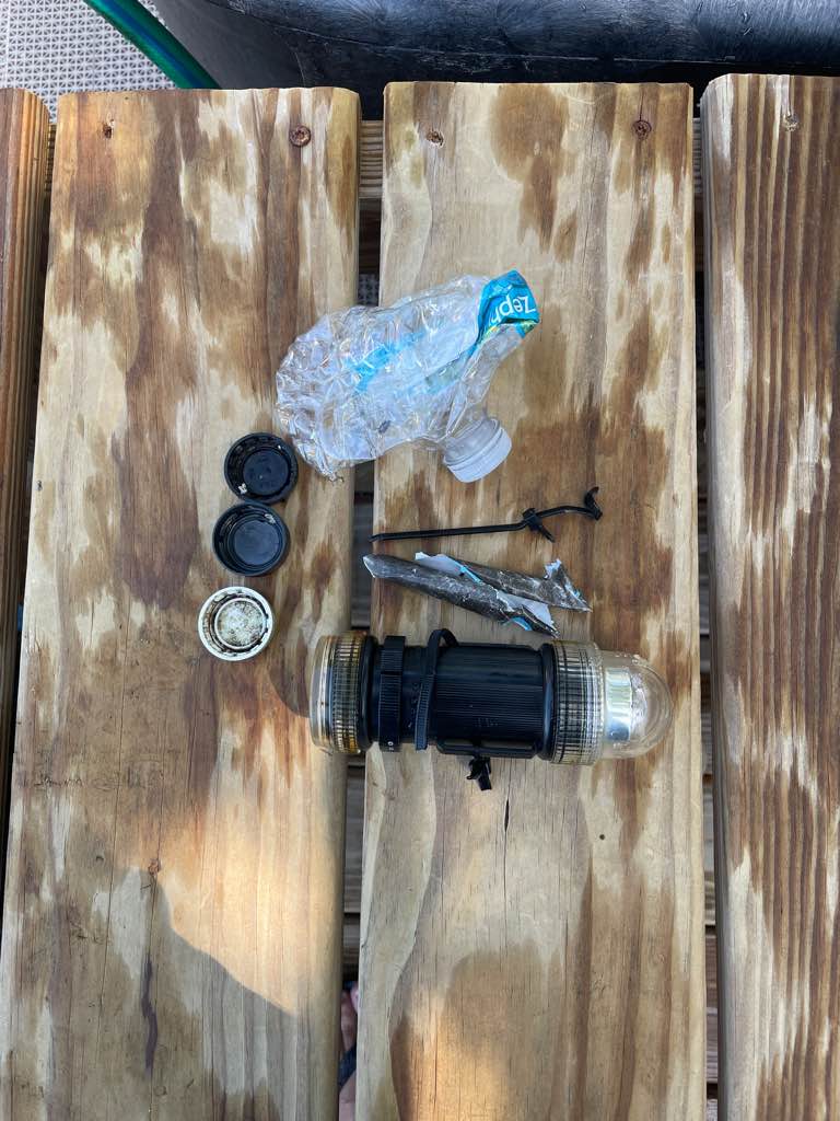
Umbrella
Fire extinguisher
Boat
Tool box
Plexiglass
Shovel
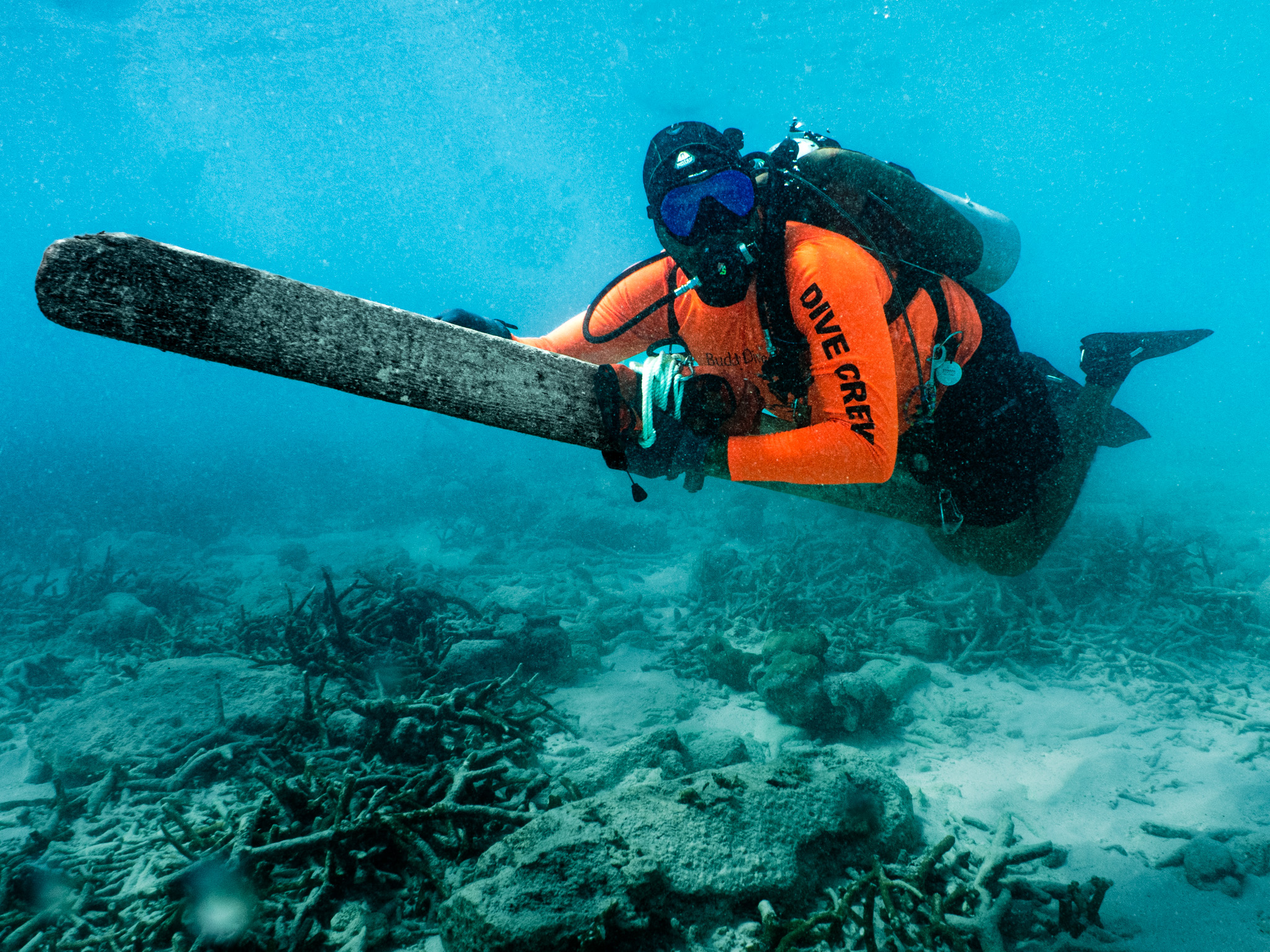
Boat paddle
Boat fin
Air filter
Rake
Brush
Strap
Propeller
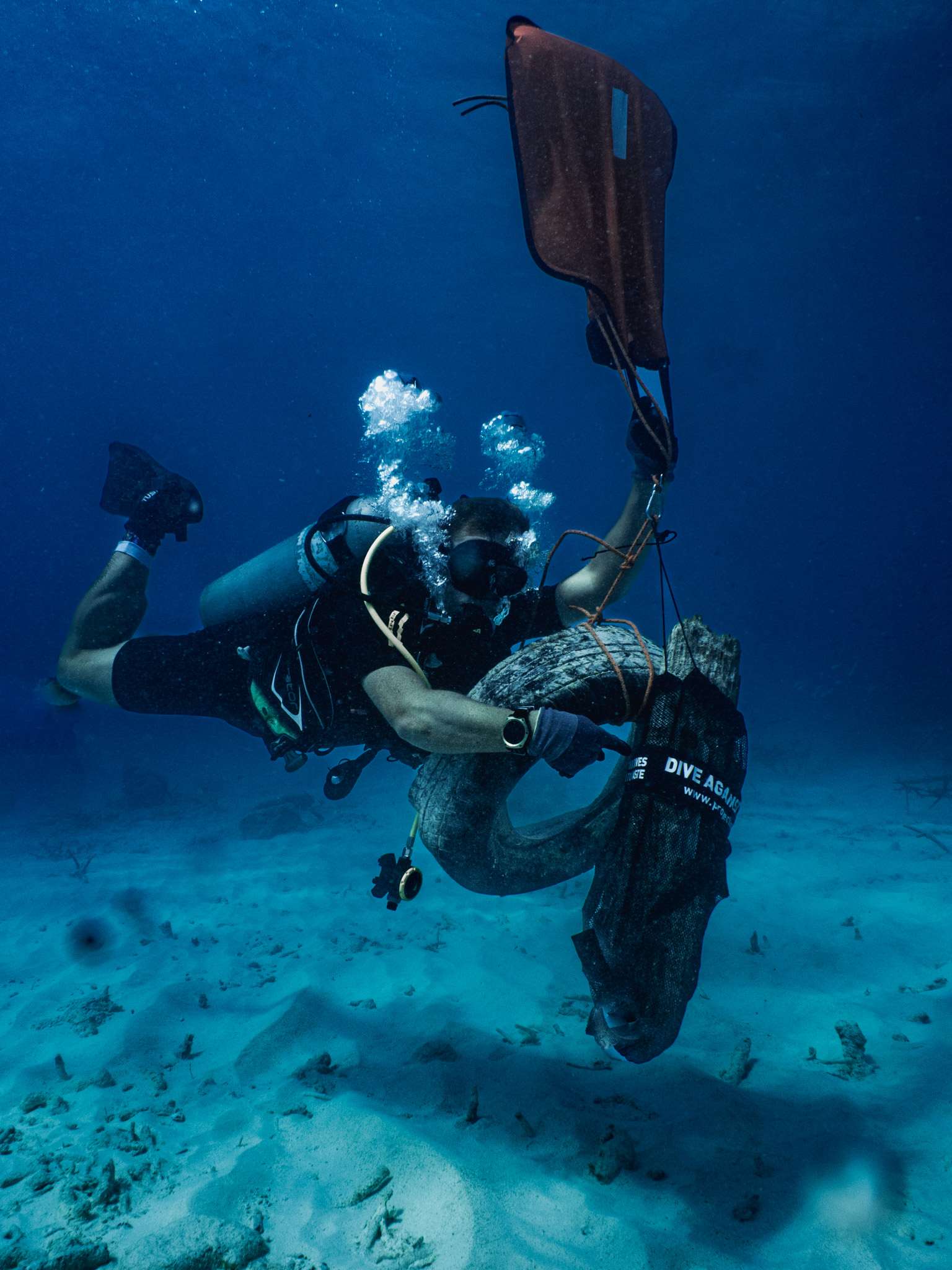
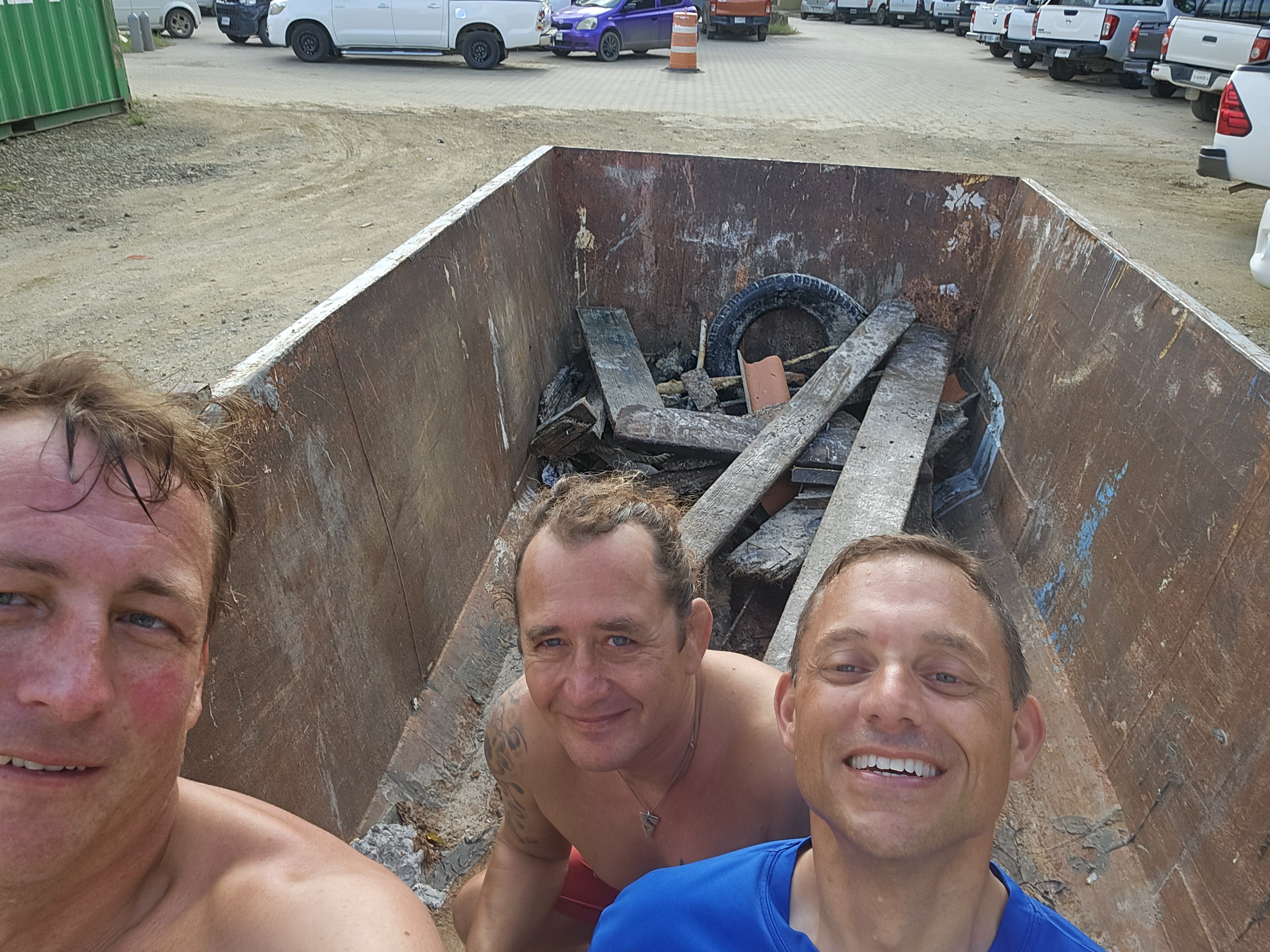
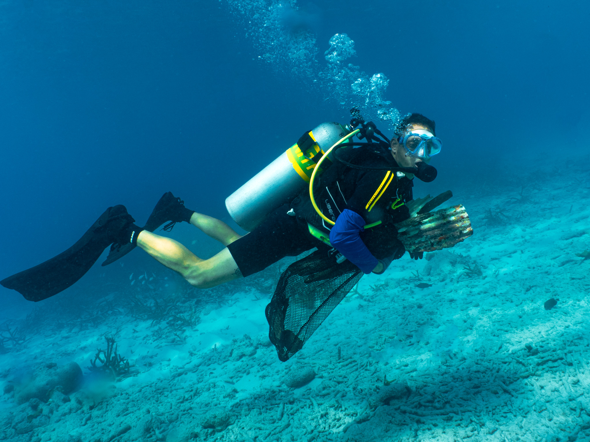
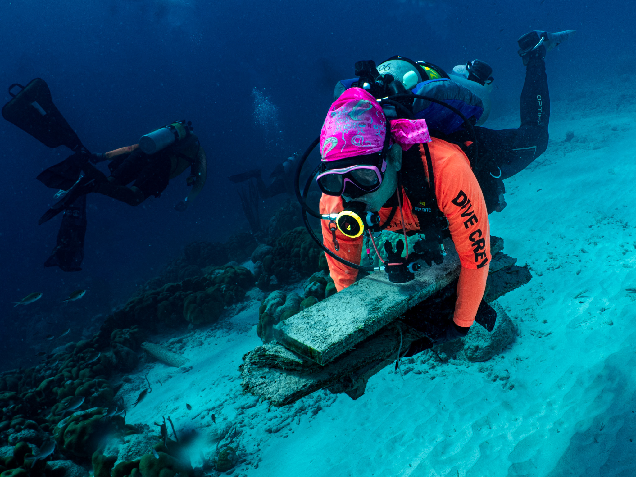
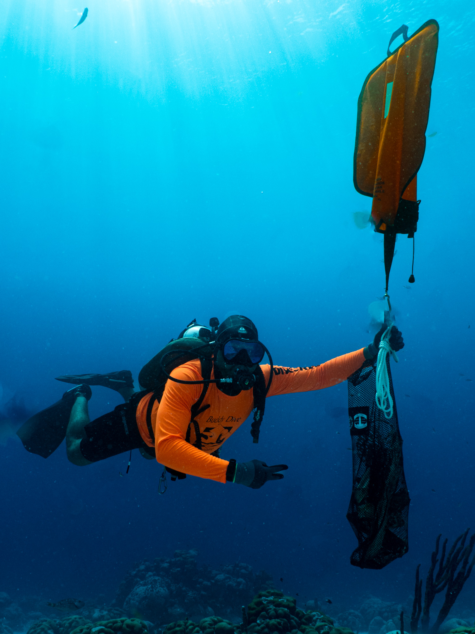
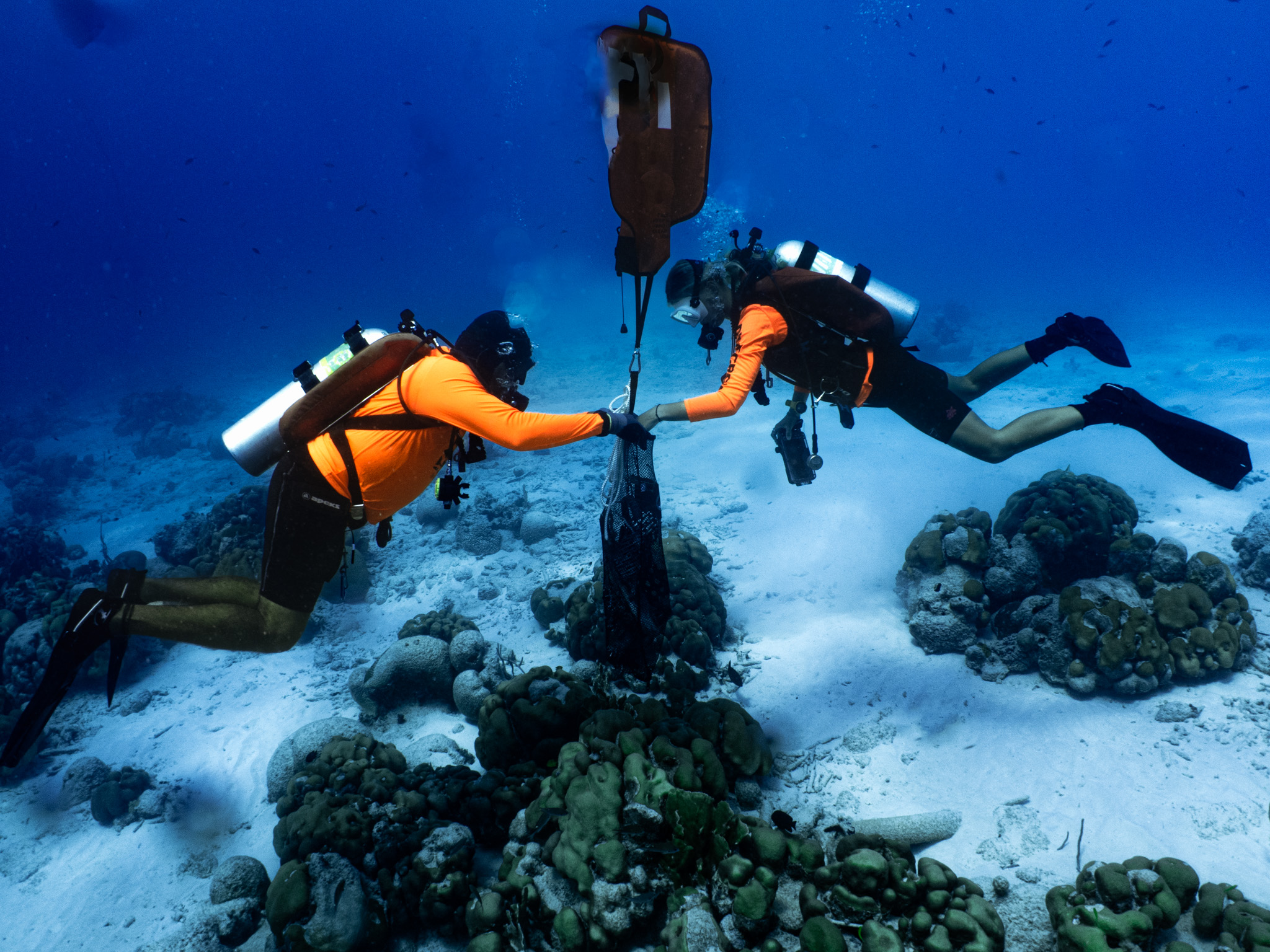
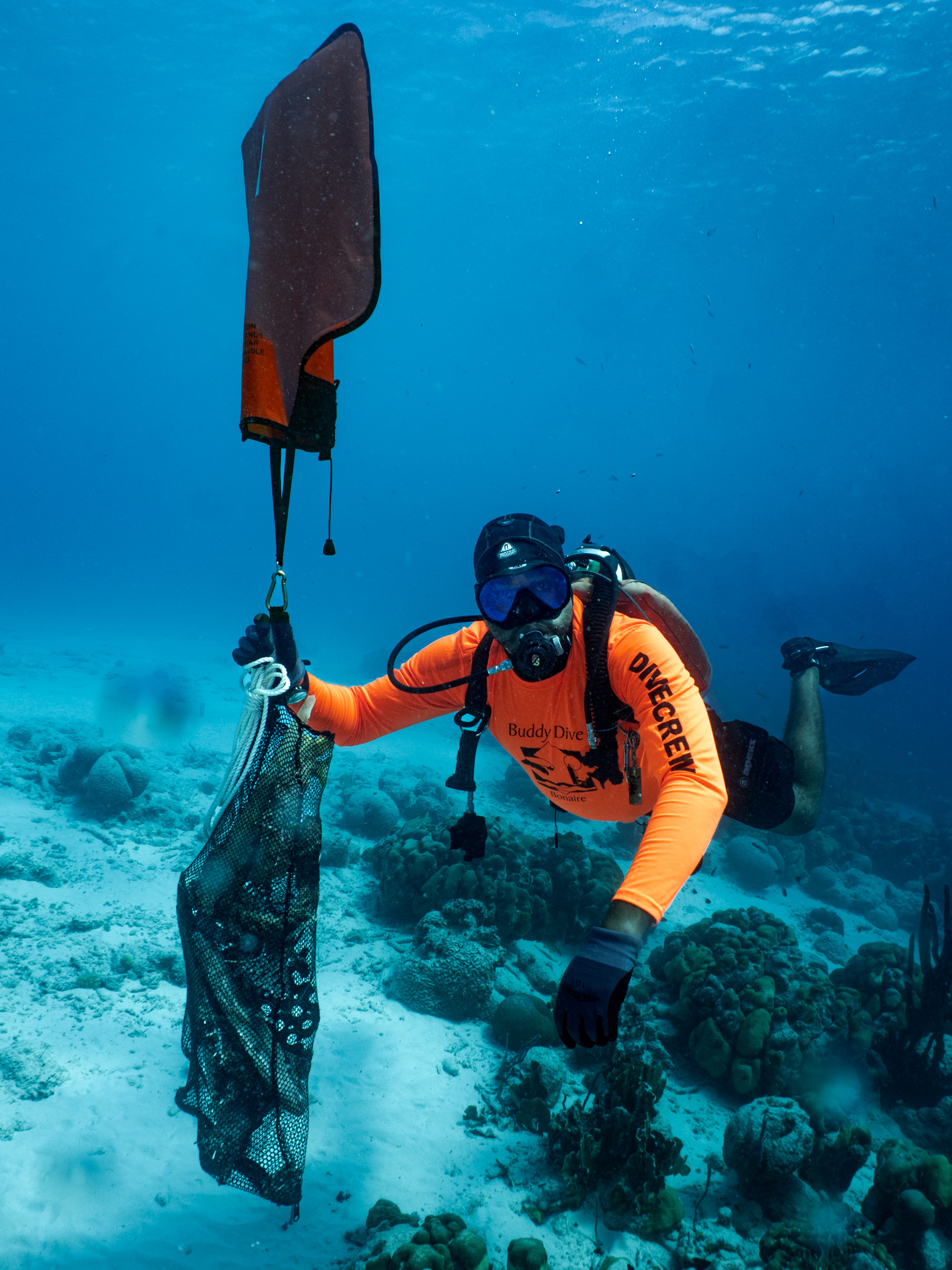
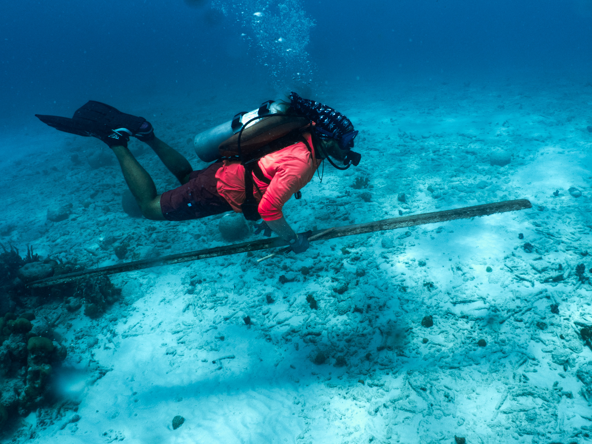
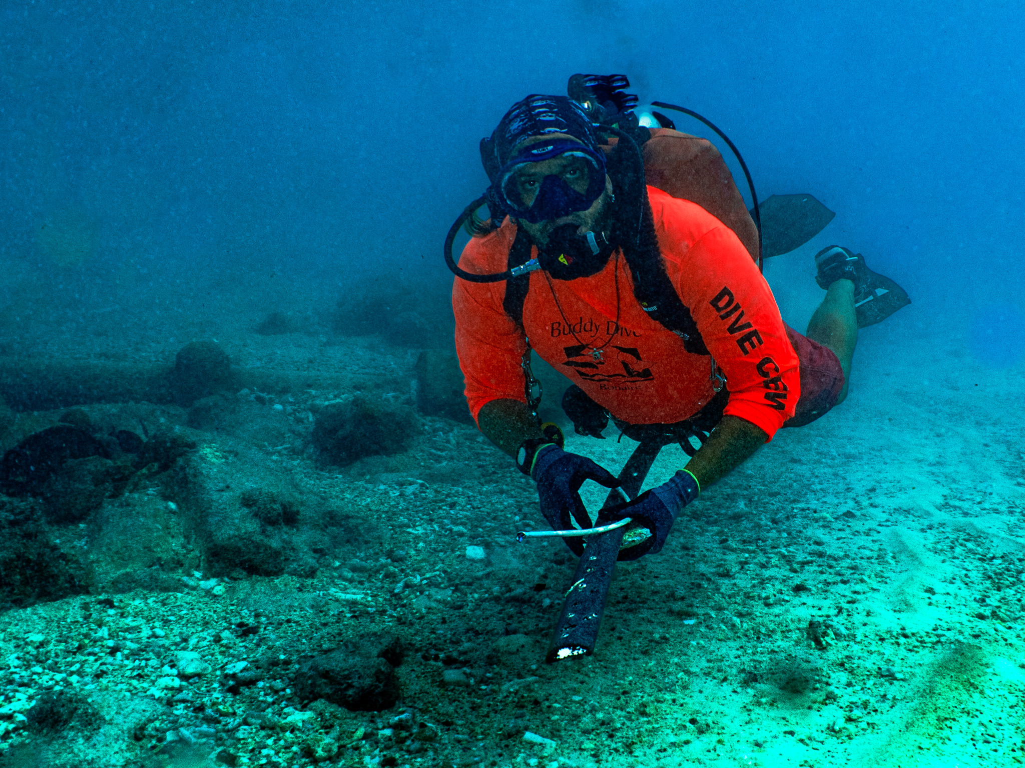
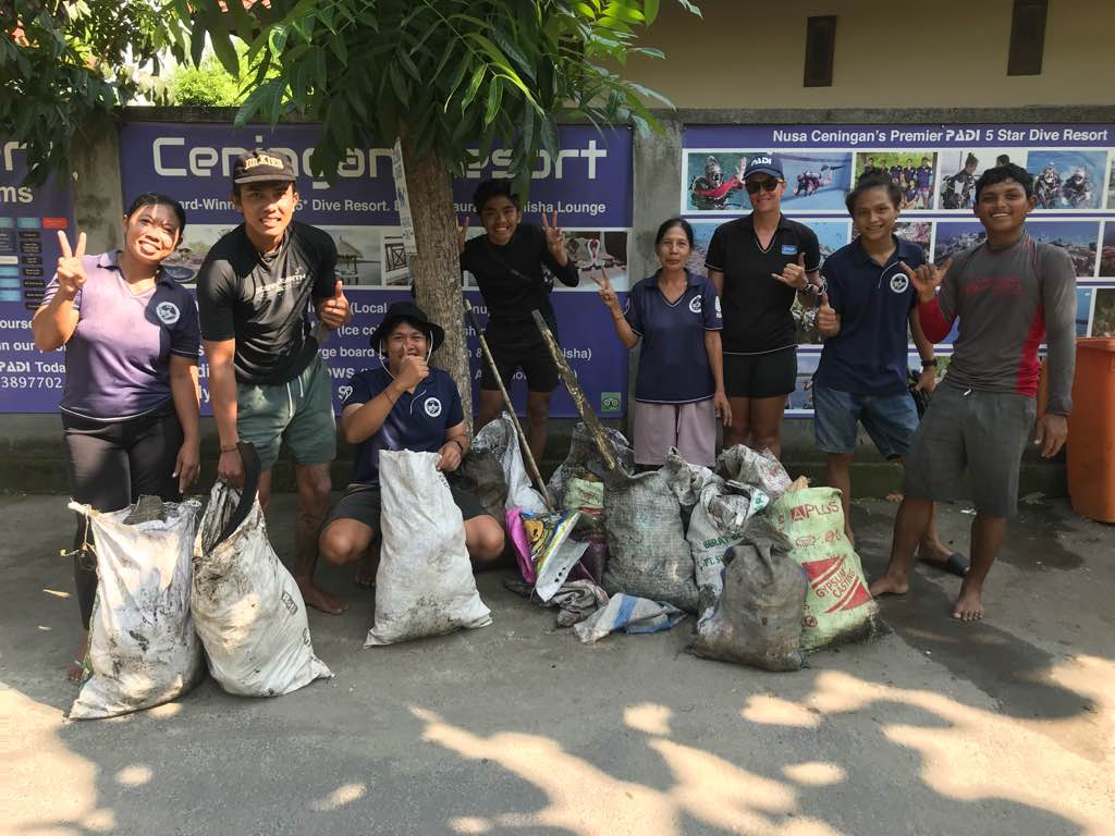
Divers for Cleaner Lakes and Oceans
Henry Wang
0
2
0
0
0
0
0
0
1
0
0
0
0
0
0
0
0
0
0
5
0
0
1
0
0
0
5
0
0
0
0
0
0
0
3
0
774.00
55
22.00
9.00
2
measured
0
1
8799.16
0
2
0
0
0
0
On
pounds
0
I have debris data to report
2
0
0
Calm (glassy to rippled) for waves 0 – 0.1 meter high
0
0
1
towel
1
Sea gull
0
0
0
0
ft2


0
1
Dead
feet
other
4
0
0
0
1
0
0
0
0
4
15
0
0
0
1
0
0
2
0
0
0
0
0
0
0
0
0
0
0
State\Province
British Columbia
City
Vancouver
Map Help
Dive Location
If you know your survey site coordinates, enter them manually in decimal degrees using WGS84 Map Datum. Use the minus sign for latitudes south of the equator and longitudes west of the Prime Meridian to 180 degrees.
If you do not know your survey site coordinates, click the “Map Location” tab to use the map to zoom into your survey site and drop the pin on the map to fall within your survey dive site in the water (not on land or the beach). Ensure you zoom in as much as possible to ensure data accuracy.
Entangled Help
Use the vertical tabs below to record any entangled animals you found of each type.
Ecosystem Other
silt