Menu

Burukuka

0
1
8
0

11.208846, -74.232817

0
0
0
rock
0
10
0
14
0
Humanos
Zapatos
Mar de leva
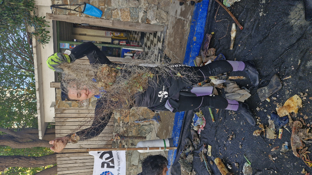
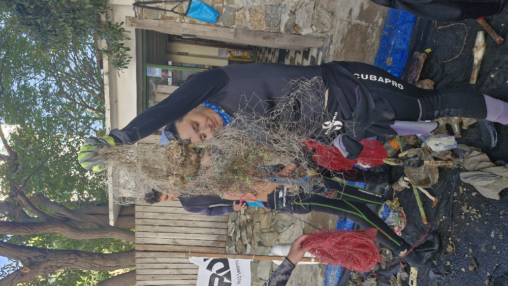
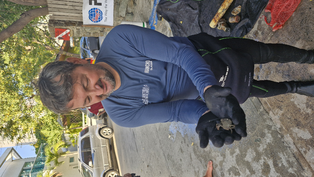
Atlantida
Atlantida
0
3
0
0
0
0
0
0
1
0
0
0
0
0
0
0
0
0
0
16
0
0
2
0
0
0
5
0
0
23
0
0
0
0
0
0
80.00
53
18.00
5.00
0
measured
0
0
0
0
12066.50
0
0
3
0
0
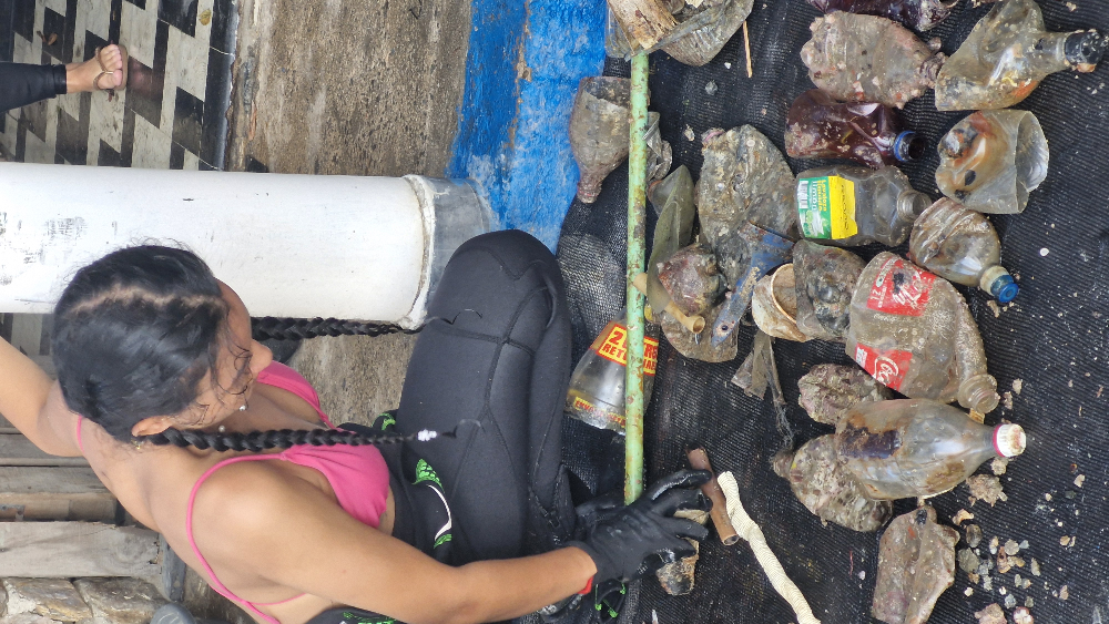
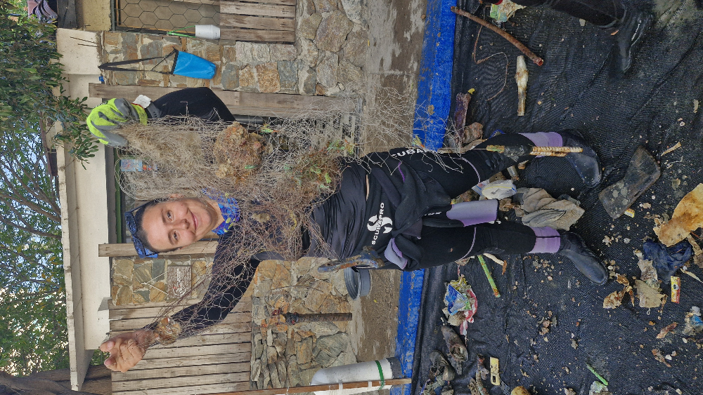
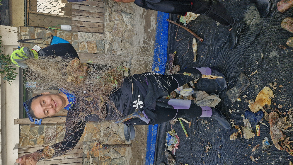
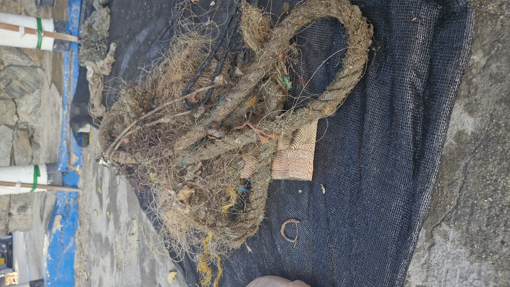
Redes de pesca
Latas
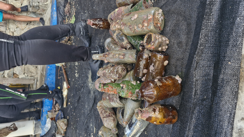
Botellas
0
On
kilograms
0
I have debris data to report
36
0
0
Calm (glassy to rippled) for waves 0 – 0.1 meter high
0
0
3
TBC
Jaiba
4
0
13
0
0
m2
0
0
meters
coral reef
1
0
3
1
0
0
1
0
0
0
0
0
0
3
0
0
0
12
0
0
0
0
1
0
0
0
0
0
0
Colombia
Map Help


Dive Location

If you know your survey site coordinates, enter them manually in decimal degrees using WGS84 Map Datum. Use the minus sign for latitudes south of the equator and longitudes west of the Prime Meridian to 180 degrees.

If you do not know your survey site coordinates, click the “Map Location” tab to use the map to zoom into your survey site and drop the pin on the map to fall within your survey dive site in the water (not on land or the beach). Ensure you zoom in as much as possible to ensure data accuracy.

Entangled Help


Use the vertical tabs below to record any entangled animals you found of each type.

The Pier

0
0
0
0

17.71424708239, -64.886930511781

0
0
0
sand
0
0
0
0
0
Windy
Float N Flag
Christopher Grieve
0
0
0
0
0
0
0
0
0
0
0
0
0
0
0
0
0
0
0
2
0
0
0
0
0
0
1
0
0
0
0
0
0
0
0
0
1.00
60
35.00
20.00
0
estimated
0
0
7148.18
0
0
0
0
0
0
On
pounds
0
I have debris data to report
0
0
0
Smooth (wavelets) for waves 0.1 - 0.5 meter high
0
0
0
0
0
0
0
m2
0
0
feet
rocky reef
2
0
0
0
0
0
0
0
0
0
0
0
0
0
0
0
2
0
0
0
0
0
1
0
0
0
0
0
0
U.S. Virgin Islands
State\Province
St. Croix
City
Frederiksted
Map Help


Dive Location

If you know your survey site coordinates, enter them manually in decimal degrees using WGS84 Map Datum. Use the minus sign for latitudes south of the equator and longitudes west of the Prime Meridian to 180 degrees.

If you do not know your survey site coordinates, click the “Map Location” tab to use the map to zoom into your survey site and drop the pin on the map to fall within your survey dive site in the water (not on land or the beach). Ensure you zoom in as much as possible to ensure data accuracy.
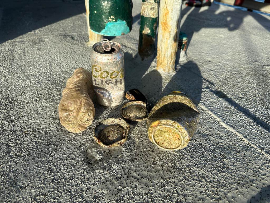
Entangled Help


Use the vertical tabs below to record any entangled animals you found of each type.

Mae Haad, Koh Tao

24

10.085243241063, 99.82413475556

sand
1
Plastic fragments, rope&string, metal fragments
Sunny, no windy
Black Turtle Dive
Basak Sevil
2
2
2
3.90
67
11.00
1.50
measured
60.00
On
kilograms
I have debris data to report
Calm (glassy to rippled) for waves 0 – 0.1 meter high m2
10
meters
coral reef
10
1
1
2
Thailand
City
Koh Tao
Map Help


Dive Location

If you know your survey site coordinates, enter them manually in decimal degrees using WGS84 Map Datum. Use the minus sign for latitudes south of the equator and longitudes west of the Prime Meridian to 180 degrees.

If you do not know your survey site coordinates, click the “Map Location” tab to use the map to zoom into your survey site and drop the pin on the map to fall within your survey dive site in the water (not on land or the beach). Ensure you zoom in as much as possible to ensure data accuracy.

Entangled Help


Use the vertical tabs below to record any entangled animals you found of each type.

Jumeirah beach

12
26
14
0

25.2173074, 55.2489862

0
0
95
sand
0
13
0
3
0
No
Liquor bottles
Windy
Al boom dive center
Mudasir wajid
0
0
0
30
15
2
0
0
0
0
0
0
0
0
0
0
1
4
10
30
20
0
1
0
6
13
25
0
0
9
0
1
2
2
0
0
45.00
42
3.00
2.00
0
estimated
0
0
93.92
0
0
0
0
0
Plastic gloves
Liquor bottles
Metal beverage cans
0
On
kilograms
0
I have debris data to report
36
0
0
Slight for waves 0.5 -1.25 meter high
0
0
5
0
15
0
0
m2
0
5
meters
rocky reef
0
0
0
0
0
0
0
0
0
2
0
0
2
0
0
0
28
0
0
0
0
2
8
0
0
0
0
0
0
United Arab Emirates
State\Province
Dubai
City
Dubai
Map Help


Dive Location

If you know your survey site coordinates, enter them manually in decimal degrees using WGS84 Map Datum. Use the minus sign for latitudes south of the equator and longitudes west of the Prime Meridian to 180 degrees.

If you do not know your survey site coordinates, click the “Map Location” tab to use the map to zoom into your survey site and drop the pin on the map to fall within your survey dive site in the water (not on land or the beach). Ensure you zoom in as much as possible to ensure data accuracy.

Entangled Help


Use the vertical tabs below to record any entangled animals you found of each type.

Hin Ngam

6
7
sand
1
38

10.06885406, 99.840999845835

Backpack
Sunny
1
4
1
1
Backpack
Facemask
Sign
Screw top
The Coral Tribe
Jennifer Dowling
1
8
5
13
2.70
61
7.20
3.00
measured
499.00
Backpack
fishing line
plastic bags
On
kilograms
I have debris data to report
Smooth (wavelets) for waves 0.1 - 0.5 meter high
can
Dead
Fish
Crab
Released Unharmed
1
1
underwear
4
m2
1
1
meters
coral reef
2
1
Thailand
State\Province
Surat Thani
City
Koh Tao
Map Help


Dive Location

If you know your survey site coordinates, enter them manually in decimal degrees using WGS84 Map Datum. Use the minus sign for latitudes south of the equator and longitudes west of the Prime Meridian to 180 degrees.

If you do not know your survey site coordinates, click the “Map Location” tab to use the map to zoom into your survey site and drop the pin on the map to fall within your survey dive site in the water (not on land or the beach). Ensure you zoom in as much as possible to ensure data accuracy.
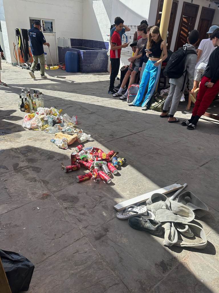
Entangled Help


Use the vertical tabs below to record any entangled animals you found of each type.

Aow Loek

28
5
0
sand
0
26
5

10.071243881932, 99.840990049481

paint roller
sunny
2
1
1
1
face mask
paint roller
pen
brush
The Coral Tribe
Jennifer Dowling
8
0
4
7
64
18
8.30
62
8.20
3.00
measured
499.00
4
plastic bags
fishing lines
On
kilograms
I have debris data to report
Calm (glassy to rippled) for waves 0 – 0.1 meter high
plastic bag
crab
Released Unharmed
1
4
2
7
m2
meters
coral reef
1
3
1
-1
Thailand
State\Province
Surat Thani
City
Koh Tao
Map Help


Dive Location

If you know your survey site coordinates, enter them manually in decimal degrees using WGS84 Map Datum. Use the minus sign for latitudes south of the equator and longitudes west of the Prime Meridian to 180 degrees.

If you do not know your survey site coordinates, click the “Map Location” tab to use the map to zoom into your survey site and drop the pin on the map to fall within your survey dive site in the water (not on land or the beach). Ensure you zoom in as much as possible to ensure data accuracy.
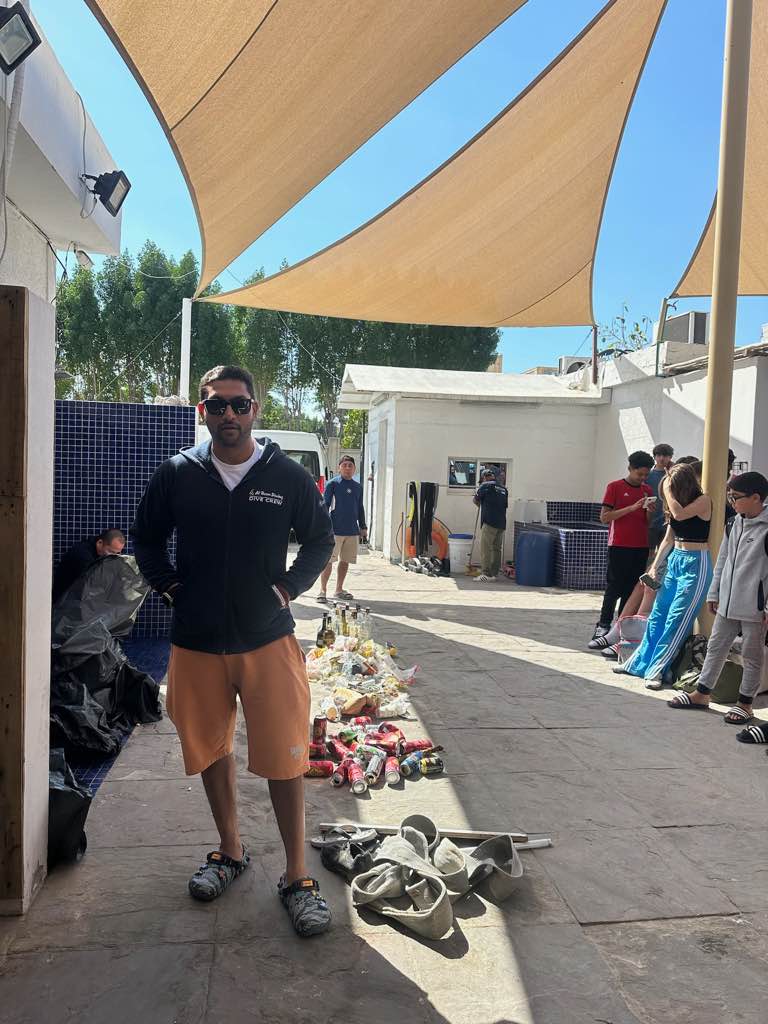
Entangled Help


Use the vertical tabs below to record any entangled animals you found of each type.

Padang Bai – Blue Lagoon

30
70
1
sand
5
6

-8.5300954903897, 115.51422168032

Yes, AquaMarine Diving - Bali
Earring
Cloudy, Sunny, Heavy Rain
1
Earring
AquaMarine Diving - Bali
Aramita Livia Ardis
9
2
2
5
4
1.01
36
19.20
0.00
1
measured
1000.00
Plastic Fragments
Plastic Packaging
Plastic Bag
On
kilograms
I have debris data to report
Smooth (wavelets) for waves 0.1 - 0.5 meter high
Injured
Small Fish
1
Plastic Fragments
m2
meters
coral reef
Indonesia
State\Province
Bali
City
Badung
Map Help


Dive Location

If you know your survey site coordinates, enter them manually in decimal degrees using WGS84 Map Datum. Use the minus sign for latitudes south of the equator and longitudes west of the Prime Meridian to 180 degrees.

If you do not know your survey site coordinates, click the “Map Location” tab to use the map to zoom into your survey site and drop the pin on the map to fall within your survey dive site in the water (not on land or the beach). Ensure you zoom in as much as possible to ensure data accuracy.
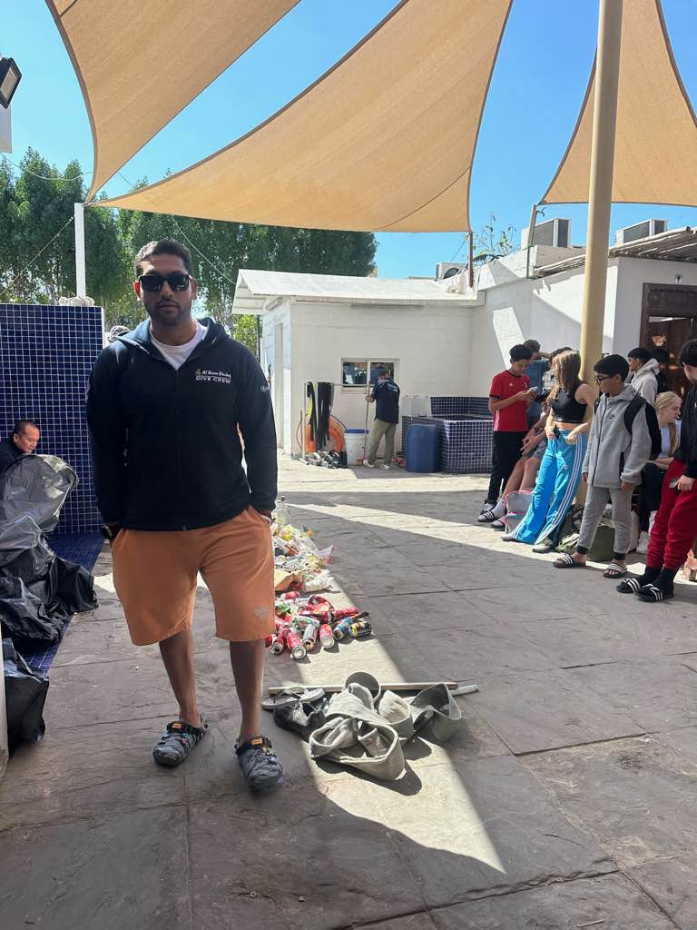
Entangled Help


Use the vertical tabs below to record any entangled animals you found of each type.

Pelabuhan

25
5
1
6
sand
1
20

-5.6048184919804, 120.46701410507

Indo Ocean Project
Michaela
4
2
1
0
2
5
6
2
2
9
7.00
55
14.00
5.00
measured
13
2000.00
1
3
On
kilograms
I have debris data to report
1
Calm (glassy to rippled) for waves 0 – 0.1 meter high
8
m2
11
meters
coral reef
10
1
2
1
1
Indonesia
State\Province
South Sulawesi
City
Bulukumba
Map Help


Dive Location

If you know your survey site coordinates, enter them manually in decimal degrees using WGS84 Map Datum. Use the minus sign for latitudes south of the equator and longitudes west of the Prime Meridian to 180 degrees.

If you do not know your survey site coordinates, click the “Map Location” tab to use the map to zoom into your survey site and drop the pin on the map to fall within your survey dive site in the water (not on land or the beach). Ensure you zoom in as much as possible to ensure data accuracy.
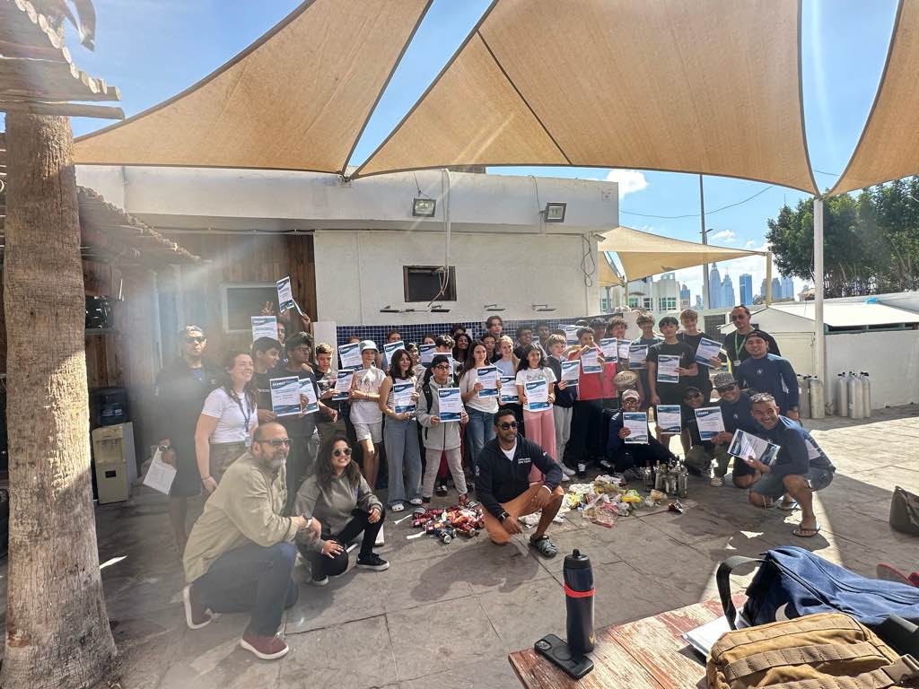
Entangled Help


Use the vertical tabs below to record any entangled animals you found of each type.

Temple Reef

2

11.55201, 79.52402

rock
Yes
Fishes entangled in the nets, found dead
Temple Adventures
Rolan
3
14.30
55
18.00
16.00
measured
0
5.00
Fishing nets
Fishing Ropes
Fishing Lines
On
kilograms
I have debris data to report
Smooth (wavelets) for waves 0.1 - 0.5 meter high
Dead
4
Dead
Jack Fish, Rabbit Fish
m2
meters
rocky reef
India
State\Province
Pondicherry
City
Pondicherry
Map Help


Dive Location

If you know your survey site coordinates, enter them manually in decimal degrees using WGS84 Map Datum. Use the minus sign for latitudes south of the equator and longitudes west of the Prime Meridian to 180 degrees.

If you do not know your survey site coordinates, click the “Map Location” tab to use the map to zoom into your survey site and drop the pin on the map to fall within your survey dive site in the water (not on land or the beach). Ensure you zoom in as much as possible to ensure data accuracy.
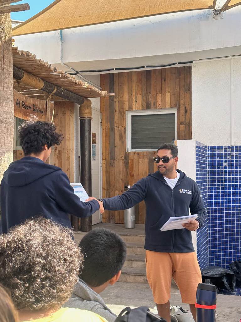
Entangled Help


Use the vertical tabs below to record any entangled animals you found of each type.

Days Bay Wharf

1
5
5
silt
50

-41.280627912297, 174.90560463287

Most of the debris appears to be from fishing related activities or from construction work done on the wharf.
Variable winds, no waves
12
4
3
3
1
1
4
1
1
1
1
1
1
11
Vapes
Sunglasses
Chairs
Kids Scooters
Kids Bike
Drone
Jewellery
Phone
Hindu Statuette
Key
Tally Counter
Fishing Rod Holder
Wrench
Ratchet Strops
Dive HQ Wellington
Claire Murphy
2
3
9
120.00
38
7.00
2.00
3
estimated
39
1062.00
3
Fishing line
6
On
kilograms
I have debris data to report
11
Smooth (wavelets) for waves 0.1 - 0.5 meter high
2
m2
4
meters
other
29
9
3
3
2
5
2
3
2
1
New Zealand
City
Wellington
Map Help


Dive Location

If you know your survey site coordinates, enter them manually in decimal degrees using WGS84 Map Datum. Use the minus sign for latitudes south of the equator and longitudes west of the Prime Meridian to 180 degrees.

If you do not know your survey site coordinates, click the “Map Location” tab to use the map to zoom into your survey site and drop the pin on the map to fall within your survey dive site in the water (not on land or the beach). Ensure you zoom in as much as possible to ensure data accuracy.
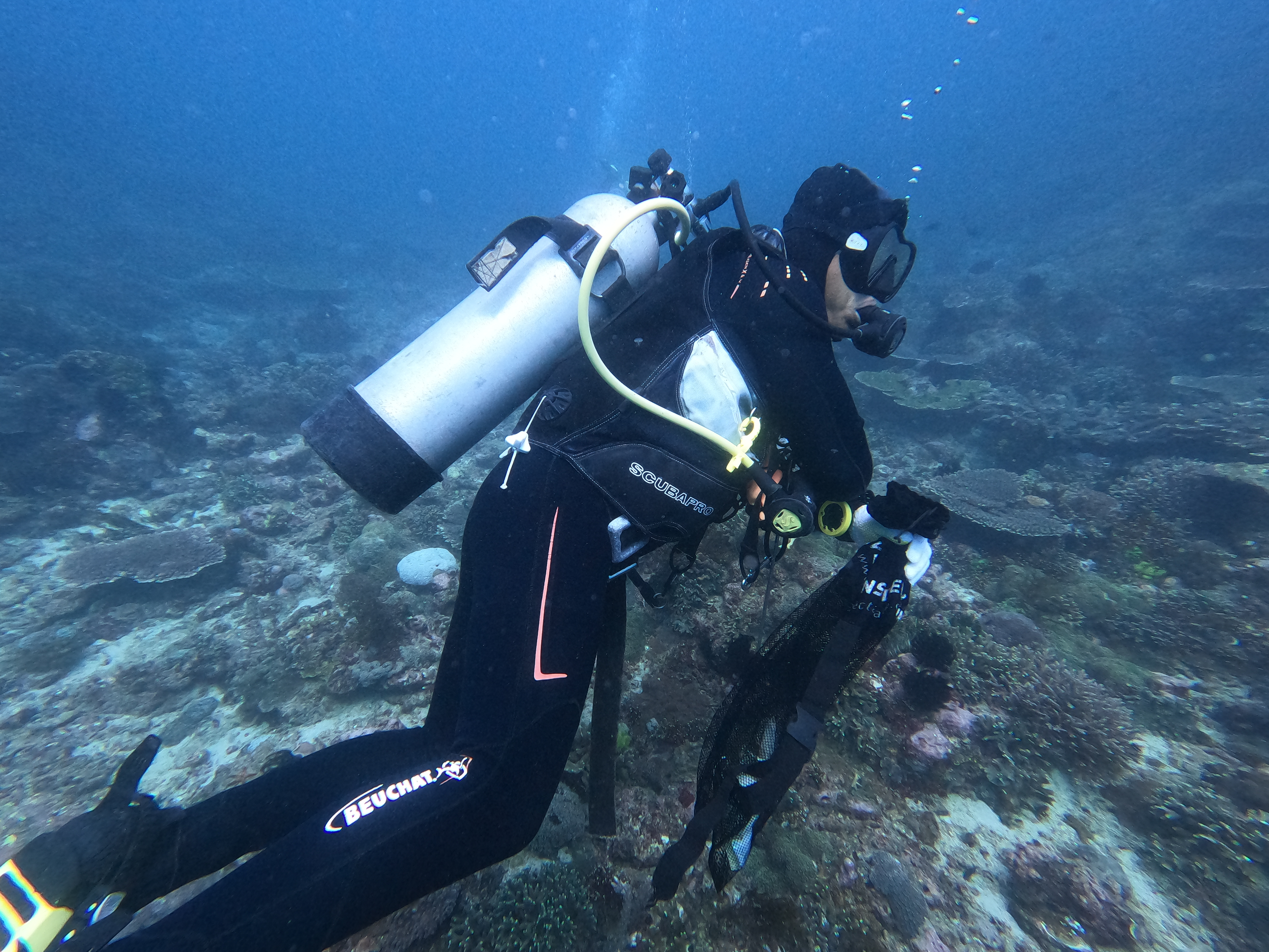
Entangled Help


Use the vertical tabs below to record any entangled animals you found of each type.

Ecosystem Other
Wharf
Subscribe to