Menu

ADS88 - Dive Bus House Reef

0
20
0
0

12.088975, -68.905175

1
0
0
coral
0
0
0
35
0
Lego Technic Rod
Calm and sunny
The Dive Bus
James Gaecke
0
0
0
5
0
0
0
0
0
0
1
0
0
0
0
0
0
0
0
8
0
0
1
1
1
0
0
0
0
0
0
0
0
0
0
0
24.96
60
14.00
1.00
0
measured
0
0
0
26
1926.00
0
0
0
3
0
Fishing line
Fishing sinkers
Plastic fragments
1
On
pounds
0
I have debris data to report
7
0
0
Smooth (wavelets) for waves 0.1 - 0.5 meter high
2
0
0
0
18
0
0
m2
0
1
meters
coral reef
3
0
0
0
0
0
0
0
0
0
0
0
0
0
0
0
0
0
0
0
0
0
9
0
0
0
0
0
0
Netherlands Antilles
City
Willemstad
Map Help


Dive Location

If you know your survey site coordinates, enter them manually in decimal degrees using WGS84 Map Datum. Use the minus sign for latitudes south of the equator and longitudes west of the Prime Meridian to 180 degrees.

If you do not know your survey site coordinates, click the “Map Location” tab to use the map to zoom into your survey site and drop the pin on the map to fall within your survey dive site in the water (not on land or the beach). Ensure you zoom in as much as possible to ensure data accuracy.

Entangled Help


Use the vertical tabs below to record any entangled animals you found of each type.

Koh Mae Urai

0
0
0
1

7.955744, 98.788123

0
0
0
coral
0
0
0
0
0
Commercial fishing
Mostly sunny, some rain
Kon-Tiki Krabi
Svante Billing
0
0
0
0
0
0
0
0
0
0
0
0
0
0
0
0
0
0
0
2
0
0
0
0
0
0
0
0
0
0
0
0
0
0
0
0
0.30
56
10.00
4.00
0
estimated
0
0
0
0
2321.92
0
0
0
0
0
Fishing nets
0
On
kilograms
0
I have debris data to report
0
0
0
Smooth (wavelets) for waves 0.1 - 0.5 meter high
0
0
0
Fishing net
Hermit Crab
Released Unharmed
3
0
0
0
0
m2
0
0
meters
coral reef
0
0
0
0
0
0
0
0
0
0
0
0
0
0
0
0
0
0
0
0
0
0
0
0
0
0
0
0
0
Thailand
State\Province
Krabi
City
Ao Nang
Map Help


Dive Location

If you know your survey site coordinates, enter them manually in decimal degrees using WGS84 Map Datum. Use the minus sign for latitudes south of the equator and longitudes west of the Prime Meridian to 180 degrees.

If you do not know your survey site coordinates, click the “Map Location” tab to use the map to zoom into your survey site and drop the pin on the map to fall within your survey dive site in the water (not on land or the beach). Ensure you zoom in as much as possible to ensure data accuracy.

Entangled Help


Use the vertical tabs below to record any entangled animals you found of each type.

Blue Planet House Reef

coral
2

-5.6095044319015, 120.44887146476

Indo Ocean Project
Jess
1
1
2
5
1
5
0.45
58
15.00
5.00
measured
1000.00
On
kilograms
I have debris data to report
-4
Slight for waves 0.5 -1.25 meter high m2
meters
coral reef
Indonesia
State\Province
South Sulawesi
City
Bira
Map Help


Dive Location

If you know your survey site coordinates, enter them manually in decimal degrees using WGS84 Map Datum. Use the minus sign for latitudes south of the equator and longitudes west of the Prime Meridian to 180 degrees.

If you do not know your survey site coordinates, click the “Map Location” tab to use the map to zoom into your survey site and drop the pin on the map to fall within your survey dive site in the water (not on land or the beach). Ensure you zoom in as much as possible to ensure data accuracy.

Entangled Help


Use the vertical tabs below to record any entangled animals you found of each type.

ADB - Kaja Ripnes S22397

1

67.227279, 14.624927

26
rock
30
Summary of 6 dives from 28.1 - 6.3
NORD&NE
Fredric Ihrsen
13
1
12.20
38
28.00
1.00
2
measured
208
2000.00
On
kilograms
I have debris data to report
Smooth (wavelets) for waves 0.1 - 0.5 meter high m2
meters
kelp
Norway
Map Help


Dive Location

If you know your survey site coordinates, enter them manually in decimal degrees using WGS84 Map Datum. Use the minus sign for latitudes south of the equator and longitudes west of the Prime Meridian to 180 degrees.

If you do not know your survey site coordinates, click the “Map Location” tab to use the map to zoom into your survey site and drop the pin on the map to fall within your survey dive site in the water (not on land or the beach). Ensure you zoom in as much as possible to ensure data accuracy.

Entangled Help


Use the vertical tabs below to record any entangled animals you found of each type.

ADB - Åbornes S22397

67.226743, 14.626451

12
rock
45
Fredric Ihrsen
2
18.00
65
18.00
1.00
measured
231
1750.00
On
kilograms
I have debris data to report
Smooth (wavelets) for waves 0.1 - 0.5 meter high m2
meters
kelp
Norway
Map Help


Dive Location

If you know your survey site coordinates, enter them manually in decimal degrees using WGS84 Map Datum. Use the minus sign for latitudes south of the equator and longitudes west of the Prime Meridian to 180 degrees.

If you do not know your survey site coordinates, click the “Map Location” tab to use the map to zoom into your survey site and drop the pin on the map to fall within your survey dive site in the water (not on land or the beach). Ensure you zoom in as much as possible to ensure data accuracy.

Entangled Help


Use the vertical tabs below to record any entangled animals you found of each type.

ADB - Åbonrnes S22397

67.226743, 14.626451

12
rock
30
NORD&NE
Fredric Ihrsen
2
14.30
58
22.00
1.00
measured
167
1500.00
On
kilograms
I have debris data to report
Smooth (wavelets) for waves 0.1 - 0.5 meter high m2
meters
kelp
Norway
Map Help


Dive Location

If you know your survey site coordinates, enter them manually in decimal degrees using WGS84 Map Datum. Use the minus sign for latitudes south of the equator and longitudes west of the Prime Meridian to 180 degrees.

If you do not know your survey site coordinates, click the “Map Location” tab to use the map to zoom into your survey site and drop the pin on the map to fall within your survey dive site in the water (not on land or the beach). Ensure you zoom in as much as possible to ensure data accuracy.

Entangled Help


Use the vertical tabs below to record any entangled animals you found of each type.

Lighthouse/ Bannerfish Bay

0
52
0
0

28.498747, 34.51991

0
0
0
sand
0
0
0
1
0
Windy and sunny
10
Chewing gum
Red Sea Tribe
Rachel Shelley
0
0
0
5
263
0
0
0
0
0
0
0
0
0
0
0
0
0
42
4
0
0
0
0
0
0
0
0
0
0
0
0
0
0
0
0
1.00
45
15.00
1.00
0
estimated
0
0
2000.00
0
0
0
0
0
Cigarette butts
Plastic fragments
0
On
kilograms
0
I have debris data to report
0
0
0
Smooth (wavelets) for waves 0.1 - 0.5 meter high
2
0
0
0
21
0
0
m2
0
0
meters
coral reef
5
0
0
0
0
13
0
0
0
0
0
0
0
0
0
0
0
0
0
0
0
0
3
0
0
0
0
0
0
Egypt
State\Province
South Sinai
City
Dahab
Map Help


Dive Location

If you know your survey site coordinates, enter them manually in decimal degrees using WGS84 Map Datum. Use the minus sign for latitudes south of the equator and longitudes west of the Prime Meridian to 180 degrees.

If you do not know your survey site coordinates, click the “Map Location” tab to use the map to zoom into your survey site and drop the pin on the map to fall within your survey dive site in the water (not on land or the beach). Ensure you zoom in as much as possible to ensure data accuracy.

Entangled Help


Use the vertical tabs below to record any entangled animals you found of each type.

little sand block

sand

38.012046679853, 128.74047513211

good
ghost net
ocean rangers / j&jun dive resort
jonghoon lee
14
106.00
60
30.00
0.00
measured
20.00
On
kilograms
I have debris data to report
Smooth (wavelets) for waves 0.1 - 0.5 meter high m2
meters
other
South Korea
State\Province
gangwon-do
City
yangyang-si
Map Help


Dive Location

If you know your survey site coordinates, enter them manually in decimal degrees using WGS84 Map Datum. Use the minus sign for latitudes south of the equator and longitudes west of the Prime Meridian to 180 degrees.

If you do not know your survey site coordinates, click the “Map Location” tab to use the map to zoom into your survey site and drop the pin on the map to fall within your survey dive site in the water (not on land or the beach). Ensure you zoom in as much as possible to ensure data accuracy.

Entangled Help


Use the vertical tabs below to record any entangled animals you found of each type.

Jogashima

2
11
1
0

35.137141, 139.611972

6
3
0
sand
0
2
0
0
0
Fishing
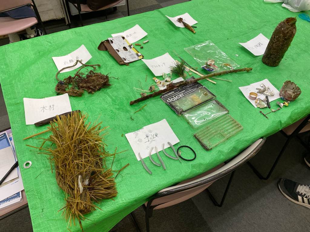
New year decorations
Rain
coconut yokohama
Fuuya mizuno
0
0
0
0
3
0
0
0
0
0
0
0
3
0
0
0
0
2
0
2
1
0
0
0
0
3
0
0
0
0
0
0
0
0
0
0
3.00
46
5.60
2.60
0
estimated
0
0
1
0
1985.81
0
0
0
0
0
Lure
Aluminum cans
Piece of cloth
2
On
kilograms
0
I have debris data to report
1
2
0
Calm (glassy to rippled) for waves 0 – 0.1 meter high
1
0
0
0
1
0
0
m2
1
3
meters
rocky reef
8
0
0
0
0
0
0
0
0
0
0
0
0
0
0
0
0
6
0
0
0
0
0
0
0
0
0
0
0
Japan
State\Province
kanagawa
City
miurasity
Map Help


Dive Location

If you know your survey site coordinates, enter them manually in decimal degrees using WGS84 Map Datum. Use the minus sign for latitudes south of the equator and longitudes west of the Prime Meridian to 180 degrees.

If you do not know your survey site coordinates, click the “Map Location” tab to use the map to zoom into your survey site and drop the pin on the map to fall within your survey dive site in the water (not on land or the beach). Ensure you zoom in as much as possible to ensure data accuracy.

Entangled Help


Use the vertical tabs below to record any entangled animals you found of each type.

jogashima kajinohama beach

2
11
1
0

35.13714824735, 139.6120107852

6
3
0
sand
0
2
0
0
0
fishing
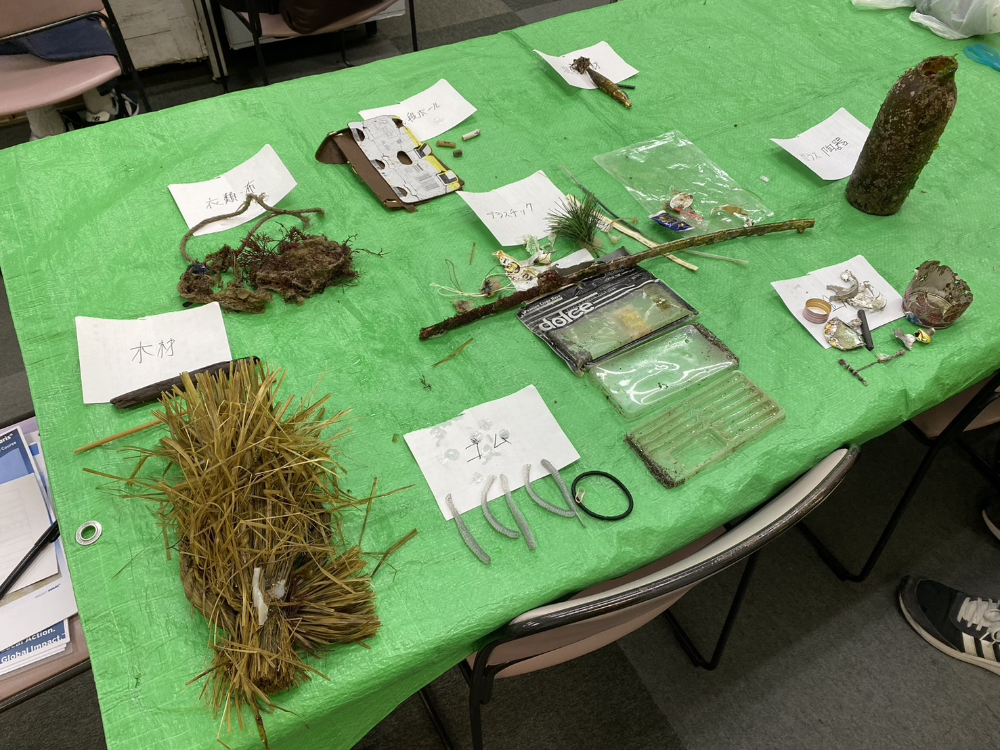
new year decorations
rainy
Coconut Yokohama
fuya mizuno
0
0
0
0
3
0
0
0
0
0
0
0
3
0
0
0
0
2
0
2
1
0
0
0
0
3
0
0
0
0
0
0
0
0
0
0
3.00
46
5.60
2.60
0
estimated
0
0
849.41
0
0
0
0
0
lure
Aluminum cans
piece of cloth
2
On
kilograms
0
I have debris data to report
1
2
0
Calm (glassy to rippled) for waves 0 – 0.1 meter high
1
0
0
0
1
0
0
m2
1
3
meters
rocky reef
8
0
0
0
0
0
0
0
0
0
0
0
0
0
0
0
0
6
0
0
0
0
0
0
0
0
0
0
0
Japan
State\Province
Kanagawa
City
Miura City
Map Help


Dive Location

If you know your survey site coordinates, enter them manually in decimal degrees using WGS84 Map Datum. Use the minus sign for latitudes south of the equator and longitudes west of the Prime Meridian to 180 degrees.

If you do not know your survey site coordinates, click the “Map Location” tab to use the map to zoom into your survey site and drop the pin on the map to fall within your survey dive site in the water (not on land or the beach). Ensure you zoom in as much as possible to ensure data accuracy.
Entangled Help


Use the vertical tabs below to record any entangled animals you found of each type.

Subscribe to