BLUE FAIRIES
15
11.962383, 79.9524
2
sand
2
2
no
Nets
Calm
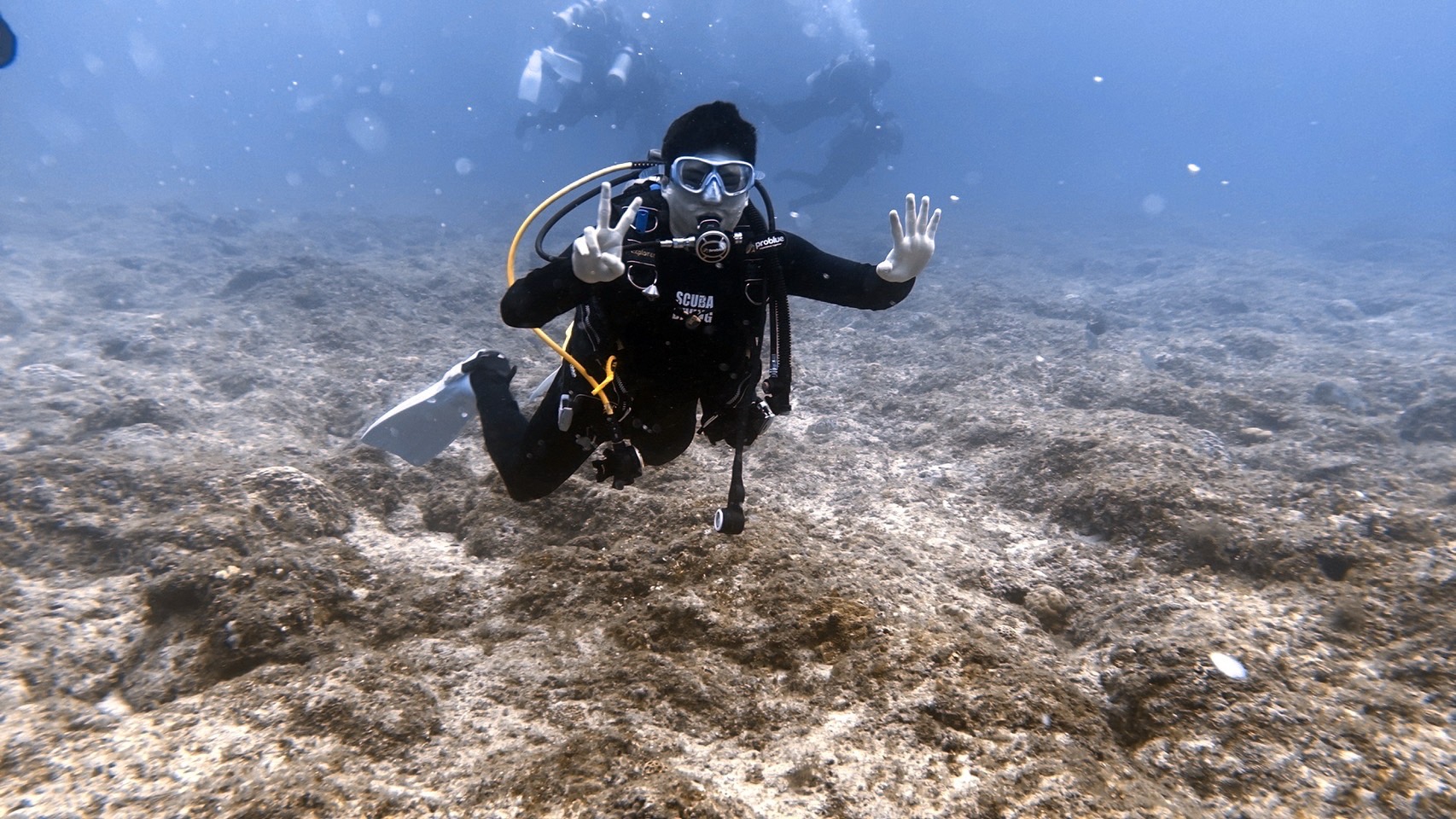
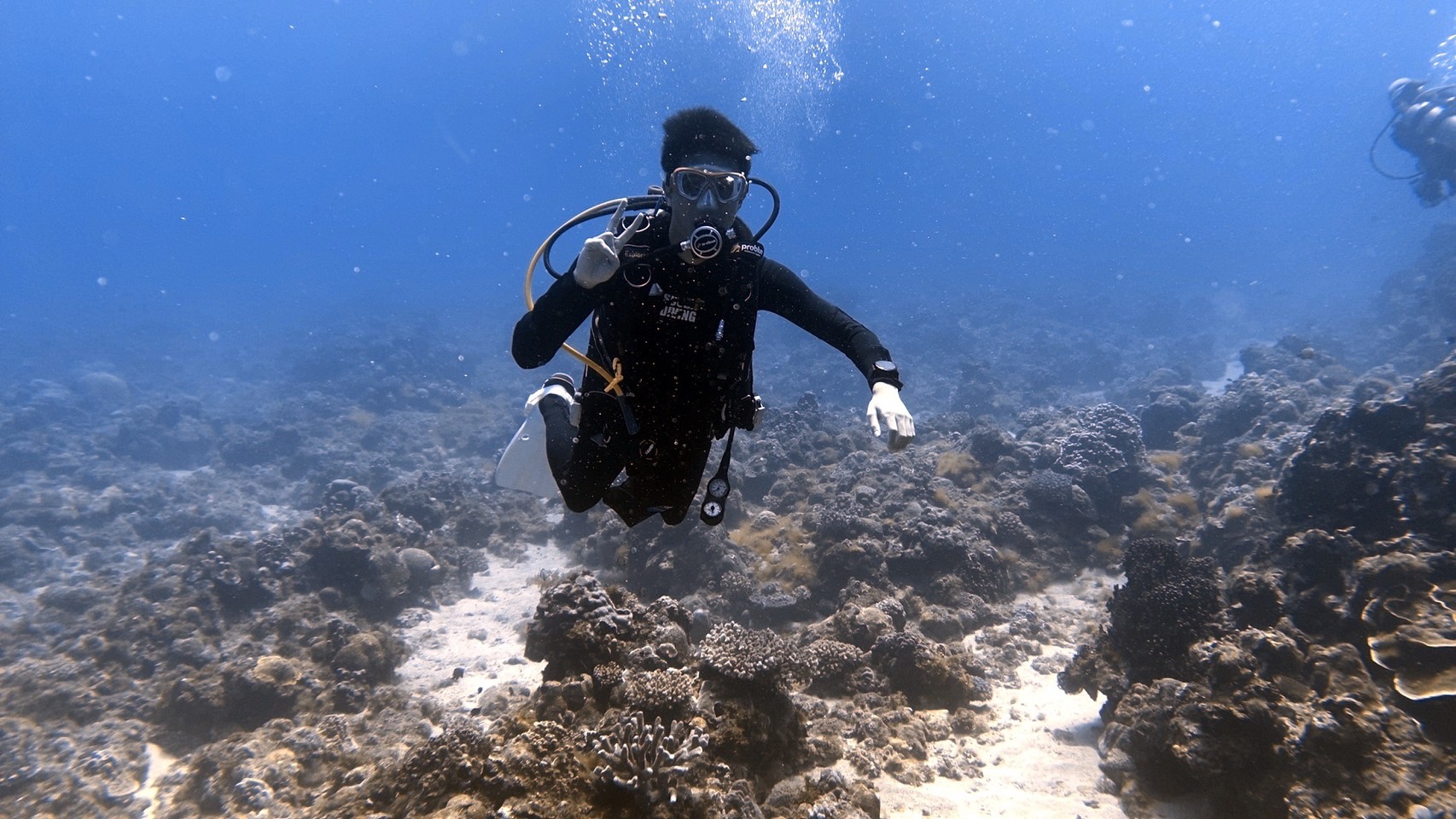
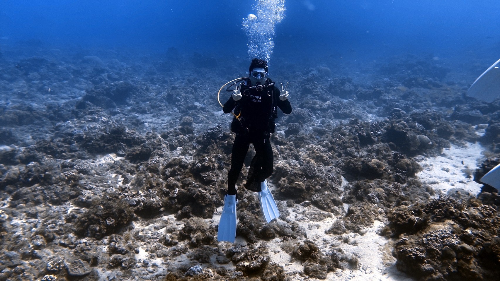
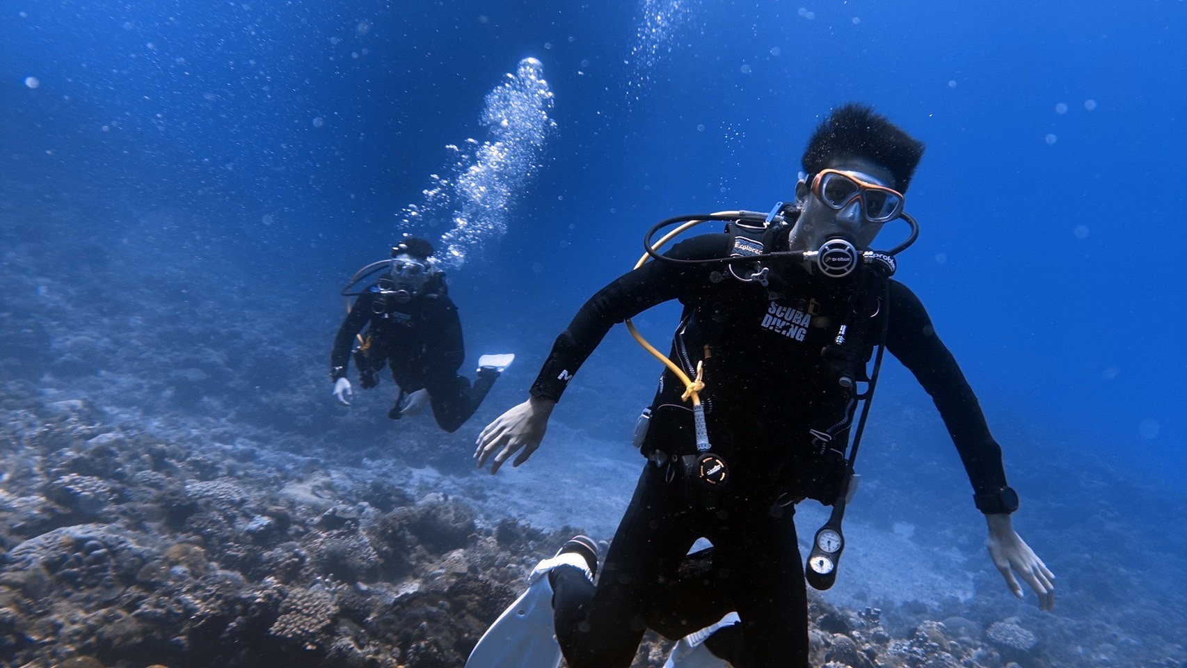
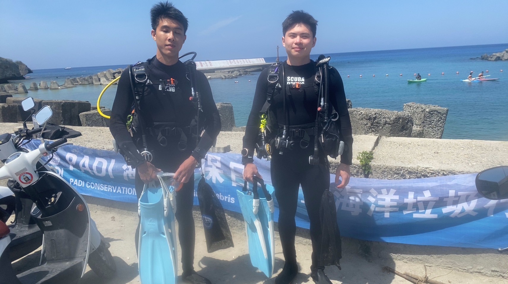
Temple Adventures
SHAVEER PATEL
2
3
1
1.00
37
25.50
25.50
1
estimated
200.00
Fishing nets
Fishing lines
On
kilograms
I have debris data to report
Smooth (wavelets) for waves 0.1 - 0.5 meter high
net
Reef crab
Released Unharmed
1
m2
meters
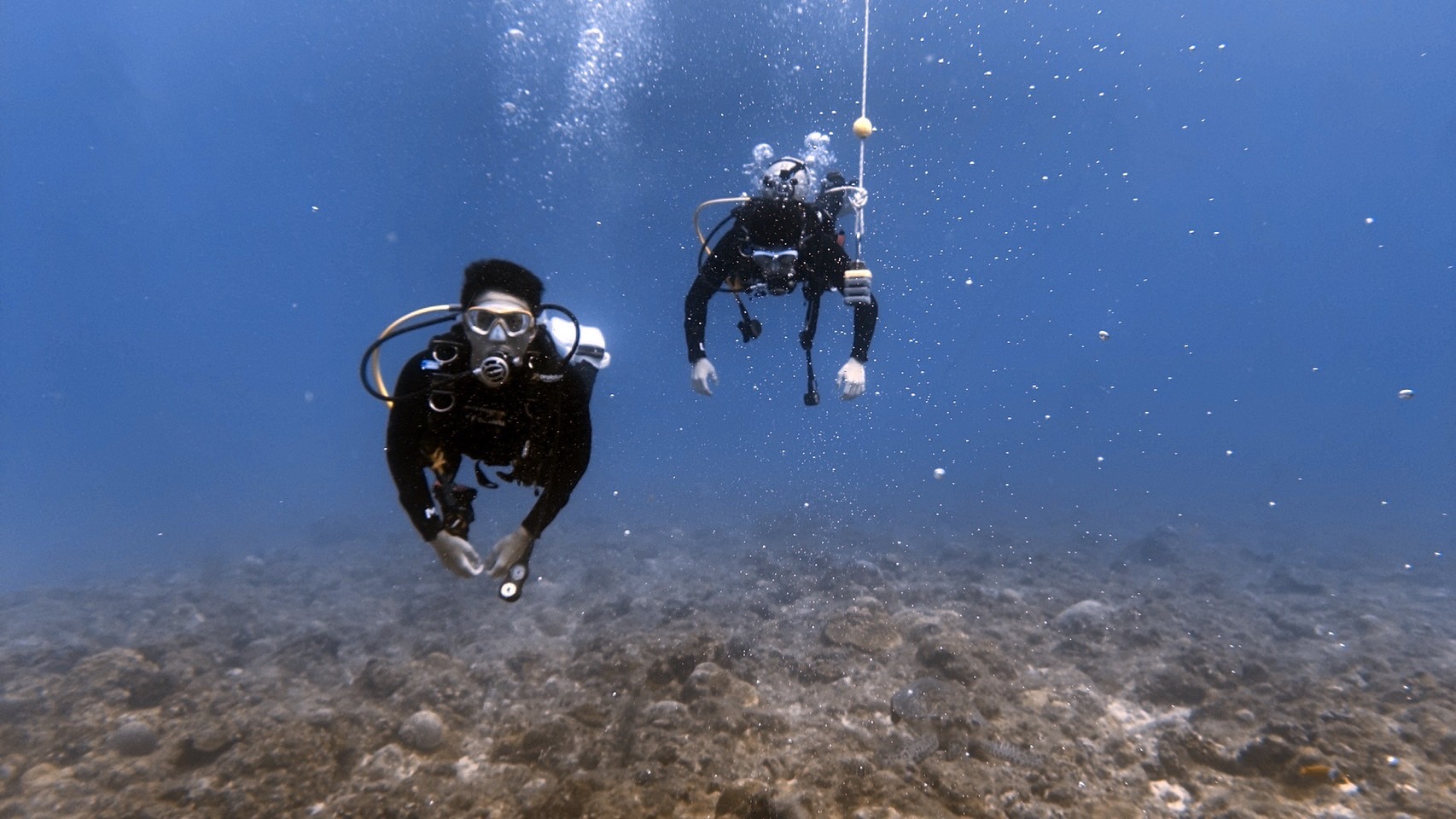
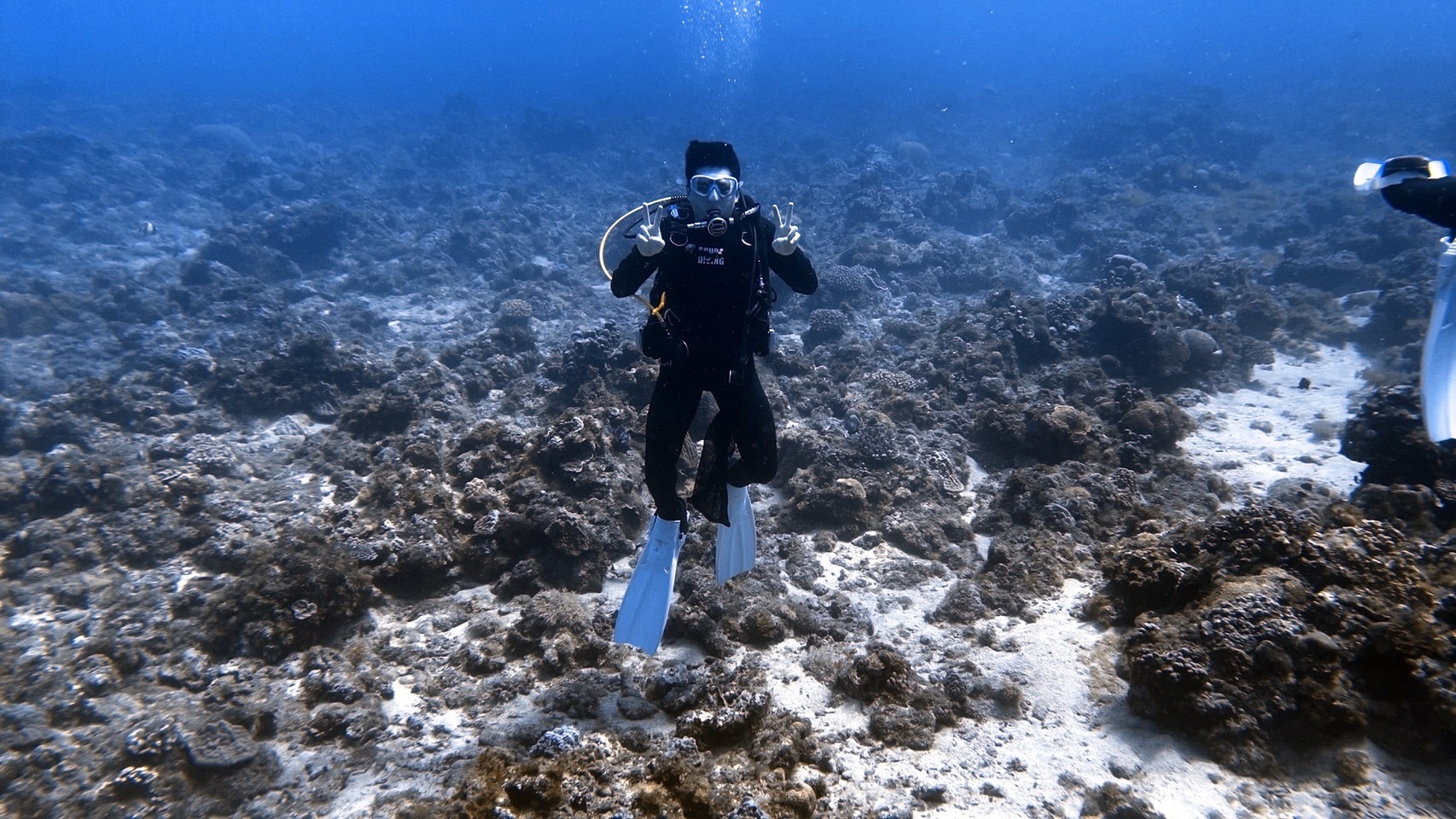
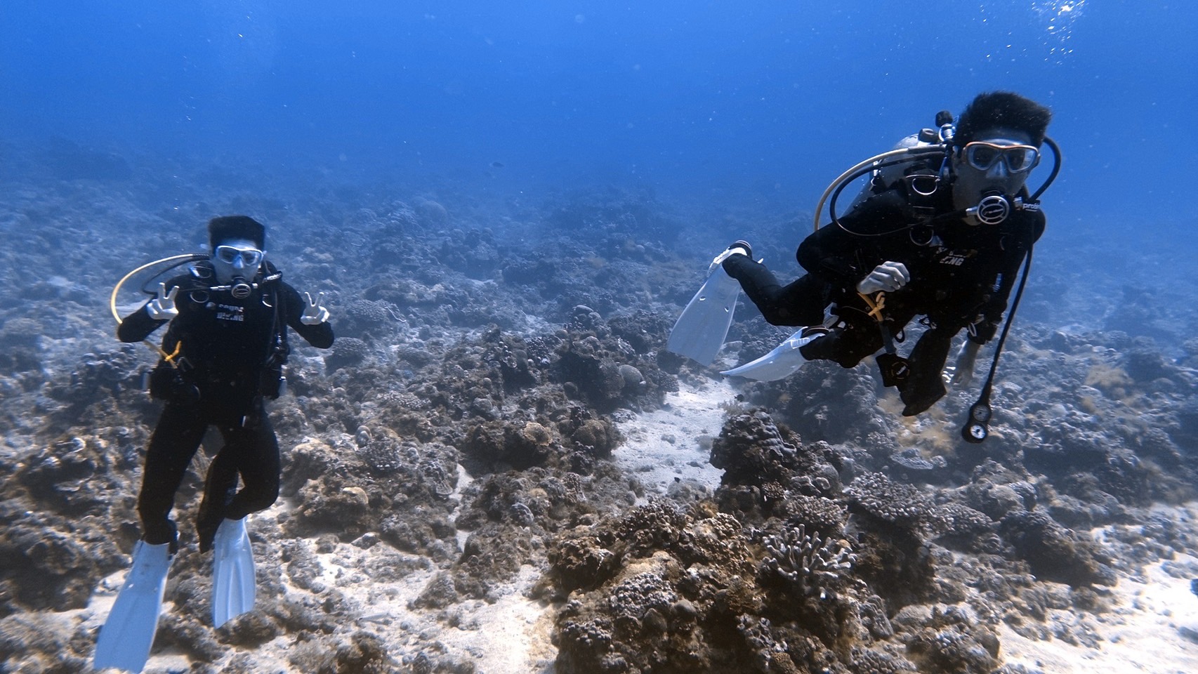
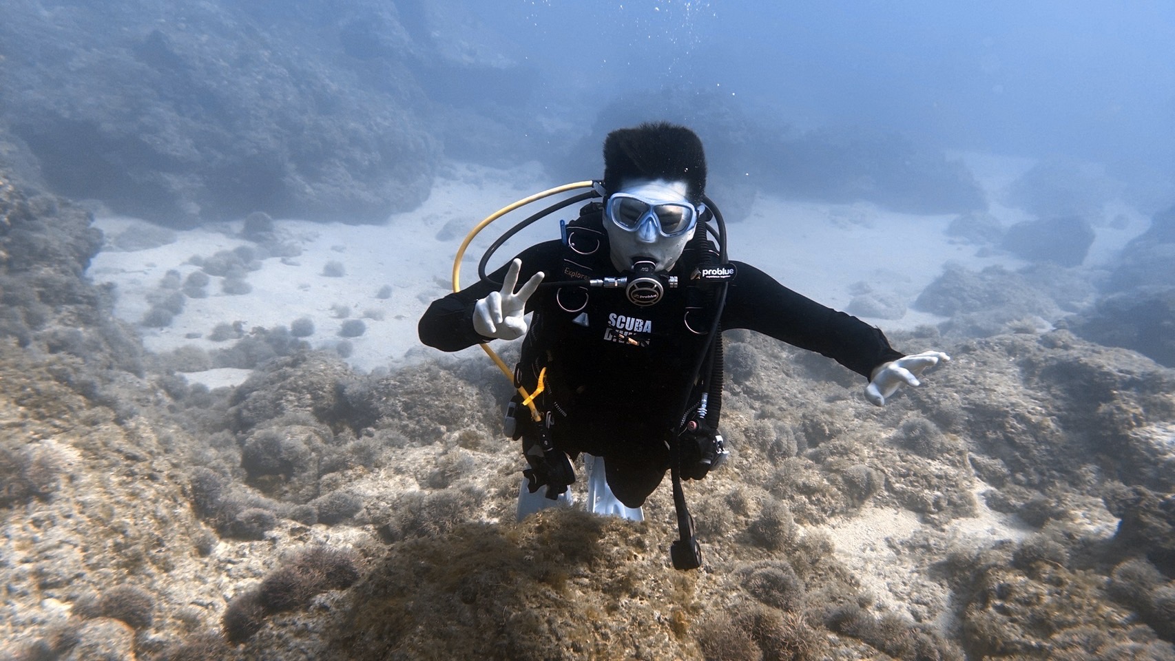
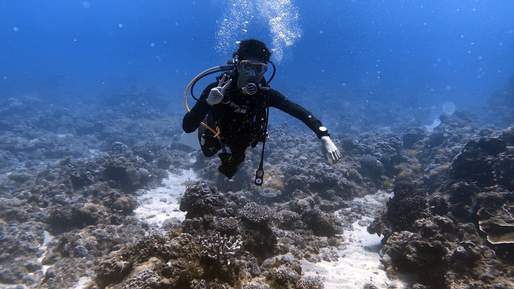
rocky reef
State\Province
Pondicherry
City
Pondicherry
Map Help
Dive Location
If you know your survey site coordinates, enter them manually in decimal degrees using WGS84 Map Datum. Use the minus sign for latitudes south of the equator and longitudes west of the Prime Meridian to 180 degrees.
If you do not know your survey site coordinates, click the “Map Location” tab to use the map to zoom into your survey site and drop the pin on the map to fall within your survey dive site in the water (not on land or the beach). Ensure you zoom in as much as possible to ensure data accuracy.
Entangled Help