Menu

Marsaskala

0
2
0
0
0
0
0
sand
0
0
0
0
0

35.866914062346, 14.573869844358

Cloudy
Techwise Malta
Mark Sanderson
0
0
0
0
0
0
0
0
0
0
0
0
0
0
0
0
0
0
0
2
0
0
0
0
0
0
1
0
0
0
0
0
0
0
0
0
0.25
82
22.00
10.00
0
estimated
0
0
4841.33
0
0
0
0
0
0
On
kilograms
0
I have debris data to report
0
0
0
Calm (glassy to rippled) for waves 0 – 0.1 meter high
0
0
0
0
0
0
0
m2
0
0
meters
rocky reef
0
0
0
0
0
0
0
0
0
0
0
0
0
1
0
0
0
0
0
0
0
0
0
0
0
0
0
0
0
Malta
City
Marsaskala
Map Help


Dive Location

If you know your survey site coordinates, enter them manually in decimal degrees using WGS84 Map Datum. Use the minus sign for latitudes south of the equator and longitudes west of the Prime Meridian to 180 degrees.

If you do not know your survey site coordinates, click the “Map Location” tab to use the map to zoom into your survey site and drop the pin on the map to fall within your survey dive site in the water (not on land or the beach). Ensure you zoom in as much as possible to ensure data accuracy.

Entangled Help


Use the vertical tabs below to record any entangled animals you found of each type.

Nemo Reef

4

12.037652080321, 92.98727040308

sand
4
3

12.037652080321, 92.98727040308

no
no
Rainy
Temple Adventures
Shaveer Patel
5
4
1
2.00
27
9.10
4.00
12
estimated
199.00
plastic
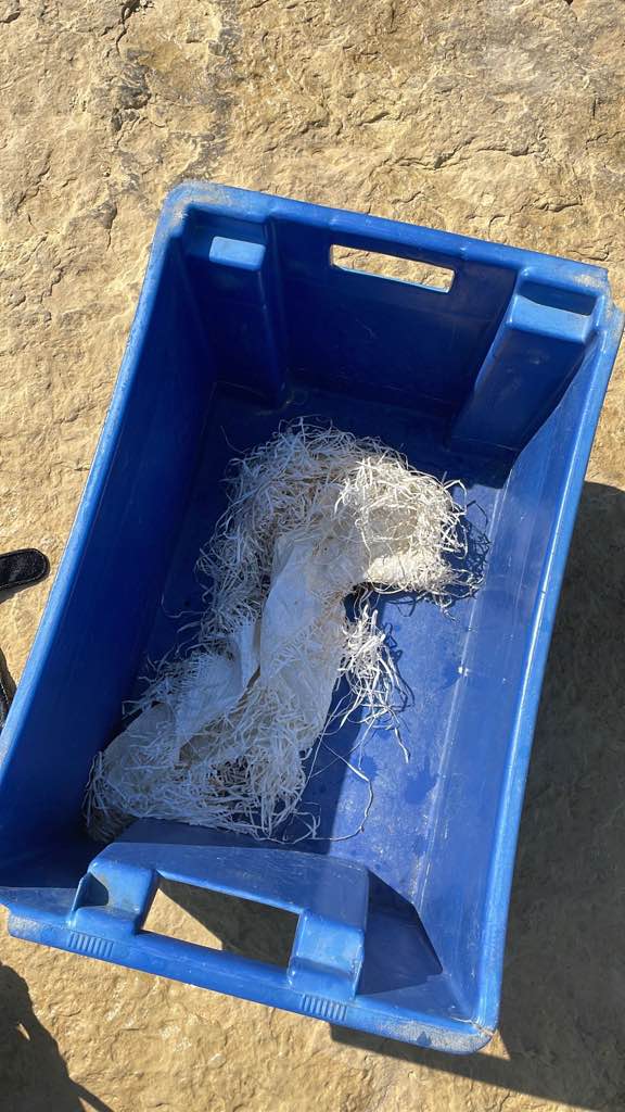
Fishing line
On
kilograms
I have debris data to report
1
Smooth (wavelets) for waves 0.1 - 0.5 meter high m2
meters
coral reef
India
State\Province
Andmans and Nicobar Islands
City
Havelock
Map Help


Dive Location

If you know your survey site coordinates, enter them manually in decimal degrees using WGS84 Map Datum. Use the minus sign for latitudes south of the equator and longitudes west of the Prime Meridian to 180 degrees.

If you do not know your survey site coordinates, click the “Map Location” tab to use the map to zoom into your survey site and drop the pin on the map to fall within your survey dive site in the water (not on land or the beach). Ensure you zoom in as much as possible to ensure data accuracy.
Entangled Help


Use the vertical tabs below to record any entangled animals you found of each type.

Del Monte Beach

1
0
0
0

36.587777383482, -121.83182459855

0
0
0
sand
0
0
0
0
0
Usually find a decent amount of trash at this site
Yes humans
Wrapper
Unremarkable
Aquarius Dive Shop
Dane
0
0
0
0
0
0
0
0
0
0
0
0
0
0
0
0
0
0
0
10
0
0
0
0
0
0
0
0
0
0
0
0
0
0
0
0
0.20
50
18.00
13.00
0
estimated
0
0
256.14
0
0
0
0
0
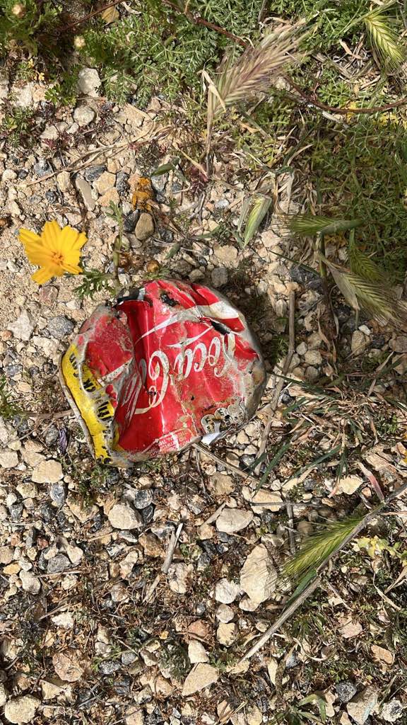
Plastic
0
On
pounds
0
I have debris data to report
0
0
0
Smooth (wavelets) for waves 0.1 - 0.5 meter high
0
0
0
0
0
0
0
ft2
0
0
feet
kelp
0
0
0
0
0
0
0
0
0
0
0
0
0
0
0
0
0
0
0
0
0
0
0
0
0
0
0
0
0
United States
State\Province
CA
City
Monterey
Map Help


Dive Location

If you know your survey site coordinates, enter them manually in decimal degrees using WGS84 Map Datum. Use the minus sign for latitudes south of the equator and longitudes west of the Prime Meridian to 180 degrees.

If you do not know your survey site coordinates, click the “Map Location” tab to use the map to zoom into your survey site and drop the pin on the map to fall within your survey dive site in the water (not on land or the beach). Ensure you zoom in as much as possible to ensure data accuracy.
Entangled Help


Use the vertical tabs below to record any entangled animals you found of each type.

Sairee Reef

3
1
sand
1
15

10.096933230263, 99.827175187774

lots of rain past week
Toothpaste
rainy
1
Mesh Cover
The Coral Tribe
Jennifer Dowling
1
1
2
7
1
2.10
66
11.30
4.90
estimated
1
210.00
Fishing Line
wire
plastic fragments
3
On
kilograms
I have debris data to report
Smooth (wavelets) for waves 0.1 - 0.5 meter high m2
1
meters
coral reef
1
1
1
3
2
3
Thailand
State\Province
Surat Thani
City
Koh Tao
Map Help


Dive Location

If you know your survey site coordinates, enter them manually in decimal degrees using WGS84 Map Datum. Use the minus sign for latitudes south of the equator and longitudes west of the Prime Meridian to 180 degrees.

If you do not know your survey site coordinates, click the “Map Location” tab to use the map to zoom into your survey site and drop the pin on the map to fall within your survey dive site in the water (not on land or the beach). Ensure you zoom in as much as possible to ensure data accuracy.

Entangled Help


Use the vertical tabs below to record any entangled animals you found of each type.

Twins

1
1
sand
5

10.117478466615, 99.81233792098

Rain
The Coral Tribe
Jennifer Dowling
1
2
1.30
61
12.00
5.00
estimated
120.00
fishing line
food wrapers
plastic fragments
1
On
kilograms
I have debris data to report
Smooth (wavelets) for waves 0.1 - 0.5 meter high m2
meters
coral reef
1
Thailand
State\Province
Surat Thani
City
Koh Tao
Map Help


Dive Location

If you know your survey site coordinates, enter them manually in decimal degrees using WGS84 Map Datum. Use the minus sign for latitudes south of the equator and longitudes west of the Prime Meridian to 180 degrees.

If you do not know your survey site coordinates, click the “Map Location” tab to use the map to zoom into your survey site and drop the pin on the map to fall within your survey dive site in the water (not on land or the beach). Ensure you zoom in as much as possible to ensure data accuracy.

Entangled Help


Use the vertical tabs below to record any entangled animals you found of each type.

Koh Mai Thon

0
0
0
1

7.7560422074726, 98.475352539755

0
0
0
coral
0
0
0
1
0
Rainy
Aloha Diving
Simon Wenk
0
0
0
0
0
0
0
0
0
0
0
0
0
0
0
0
0
0
0
2
0
0
0
0
0
0
2
0
0
0
0
0
0
0
0
0
0.50
30
6.00
3.00
0
estimated
0
0
500.00
0
0
0
0
0
0
On
kilograms
0
I have debris data to report
0
0
0
Smooth (wavelets) for waves 0.1 - 0.5 meter high
0
0
0
0
0
0
0
m2
0
1
meters
rocky reef
0
0
0
0
0
0
0
0
0
0
0
0
0
0
0
0
1
0
0
0
0
0
0
0
0
0
0
0
0
Thailand
State\Province
Phuket
City
Phuket
Map Help


Dive Location

If you know your survey site coordinates, enter them manually in decimal degrees using WGS84 Map Datum. Use the minus sign for latitudes south of the equator and longitudes west of the Prime Meridian to 180 degrees.

If you do not know your survey site coordinates, click the “Map Location” tab to use the map to zoom into your survey site and drop the pin on the map to fall within your survey dive site in the water (not on land or the beach). Ensure you zoom in as much as possible to ensure data accuracy.

Entangled Help


Use the vertical tabs below to record any entangled animals you found of each type.

Zushi

39
142
6
15
19
0
0
sand
0
27
2
5
1

35.295973348772, 139.55601323645

Drifted from the ocean into the port
Bicycle parts
Sunny
Zushi・Hayama diving resort
Seiko Prospex
0
1
0
4
0
0
0
0
0
0
1
0
2
0
0
0
0
27
0
6
0
0
3
0
40
4
6
2
0
1
2
0
0
1
4
11
152.81
40
4.00
2.00
6
estimated
0
38
8913.12
0
0
0
1
1
Bottles
Fishing nets
Plastics
0
On
kilograms
0
I have debris data to report
55
0
0
Calm (glassy to rippled) for waves 0 – 0.1 meter high
0
0
2
0
0
1
1
m2
25
3
meters
rocky reef
5
0
4
0
0
0
2
0
0
0
0
0
0
0
0
1
7
11
0
0
3
0
8
0
10
1
0
0
0
Japan
State\Province
Kanagawa
City
Zushi
Map Help


Dive Location

If you know your survey site coordinates, enter them manually in decimal degrees using WGS84 Map Datum. Use the minus sign for latitudes south of the equator and longitudes west of the Prime Meridian to 180 degrees.

If you do not know your survey site coordinates, click the “Map Location” tab to use the map to zoom into your survey site and drop the pin on the map to fall within your survey dive site in the water (not on land or the beach). Ensure you zoom in as much as possible to ensure data accuracy.

Entangled Help


Use the vertical tabs below to record any entangled animals you found of each type.

Cat Lake

0
0
0
0

49.798834259402, -123.11068047886

0
0
0
silt
0
2
2
0
1
No
Magnet
Rain
1
1
1
Sunglasses
Magnet
Vape
Divers for Cleaner Lakes and Oceans
Henry
0
0
0
1
0
0
0
0
1
0
0
0
0
2
0
0
0
1
0
2
0
0
3
0
0
0
9
0
0
0
0
0
3
0
0
0
19.50
42
58.00
3.00
0
measured
0
0
12330.70
0
0
0
0
0
Beer cans
0
On
pounds
0
I have debris data to report
7
0
0
Calm (glassy to rippled) for waves 0 – 0.1 meter high
0
0
1
0
0
0
0
ft2
0
0
feet
other
1
0
0
0
0
0
0
0
0
2
0
0
0
1
0
0
0
47
0
0
0
0
0
0
0
0
0
1
0
Canada
State\Province
British Columbia
City
Squamish
Map Help


Dive Location

If you know your survey site coordinates, enter them manually in decimal degrees using WGS84 Map Datum. Use the minus sign for latitudes south of the equator and longitudes west of the Prime Meridian to 180 degrees.

If you do not know your survey site coordinates, click the “Map Location” tab to use the map to zoom into your survey site and drop the pin on the map to fall within your survey dive site in the water (not on land or the beach). Ensure you zoom in as much as possible to ensure data accuracy.

Entangled Help


Use the vertical tabs below to record any entangled animals you found of each type.

Ecosystem Other
Silt

Yellow Submarine

coral
20

12.160113247529, -68.28200340271

Fish was hooked but alive
Dive Friends Bonaire
Davide Chiarlo
1
2
5.00
68
12.50
2.00
3
estimated
2000.00
On
kilograms
I have debris data to report
Calm (glassy to rippled) for waves 0 – 0.1 meter high
Injured
porcupine fish
1
fishing Hook
2
m2
meters
coral reef
2
Netherlands
City
Kralendijk
Map Help


Dive Location

If you know your survey site coordinates, enter them manually in decimal degrees using WGS84 Map Datum. Use the minus sign for latitudes south of the equator and longitudes west of the Prime Meridian to 180 degrees.

If you do not know your survey site coordinates, click the “Map Location” tab to use the map to zoom into your survey site and drop the pin on the map to fall within your survey dive site in the water (not on land or the beach). Ensure you zoom in as much as possible to ensure data accuracy.

Entangled Help


Use the vertical tabs below to record any entangled animals you found of each type.

Reggies

0
0
0
0

-23.750089, 35.594091

0
0
0
rock
0
0
0
0
0
Windy
Liquid Dive Adventures
Nadia RIfaat
0
0
0
0
0
0
0
0
0
0
0
0
0
0
0
0
0
0
0
2
0
0
0
0
0
0
0
0
0
0
0
0
0
0
0
0
0.00
25
29.00
24.00
0
estimated
0
0
0
0
166.00
0
0
0
0
0
0
On
pounds
0
Our Survey Site was free of debris
0
0
0
Moderate to rough for waves greater than 1.25 meters
0
0
0
0
0
0
0
m2
0
0
meters
rocky reef
0
0
0
0
0
0
0
0
0
0
0
0
0
0
0
0
0
0
0
0
0
0
0
0
0
0
0
0
0
Mozambique
State\Province
Inhambane
City
Praia do Tofo
Map Help


Dive Location

If you know your survey site coordinates, enter them manually in decimal degrees using WGS84 Map Datum. Use the minus sign for latitudes south of the equator and longitudes west of the Prime Meridian to 180 degrees.

If you do not know your survey site coordinates, click the “Map Location” tab to use the map to zoom into your survey site and drop the pin on the map to fall within your survey dive site in the water (not on land or the beach). Ensure you zoom in as much as possible to ensure data accuracy.

Entangled Help


Use the vertical tabs below to record any entangled animals you found of each type.

Subscribe to