Menu

Levette Lake

0
2
2
0

49.83333784238, -123.18534795045

2
0
0
silt
0
0
0
0
0
No
Mixed
6
1
2
1
1
1
Sunglasses
Beach umbrella
Boat paddles
Road flare
Dog leash
Arrow
Divers for Cleaner Lakes and Oceans
Henry Wang
0
1
0
1
0
0
0
0
0
0
0
0
0
0
0
0
0
0
0
2
0
0
1
0
0
0
0
0
0
0
0
0
11
0
0
0
35.00
35
68.00
11.00
1
measured
0
0
18528.80
0
0
0
0
0
Beer cans
0
On
pounds
0
I have debris data to report
4
0
0
Calm (glassy to rippled) for waves 0 – 0.1 meter high
0
0
1
0
1
0
0
ft2
0
0
feet
other
0
0
0
0
0
0
0
0
0
2
4
0
0
0
1
0
0
31
0
0
2
0
1
0
0
0
0
0
0
Canada
State\Province
British Columbia
City
Squamish
Map Help


Dive Location

If you know your survey site coordinates, enter them manually in decimal degrees using WGS84 Map Datum. Use the minus sign for latitudes south of the equator and longitudes west of the Prime Meridian to 180 degrees.

If you do not know your survey site coordinates, click the “Map Location” tab to use the map to zoom into your survey site and drop the pin on the map to fall within your survey dive site in the water (not on land or the beach). Ensure you zoom in as much as possible to ensure data accuracy.

Entangled Help


Use the vertical tabs below to record any entangled animals you found of each type.

Ecosystem Other
Silt

Aow Leuk

4
3

10.072467451051, 99.839700288557

coral
8

10.072051225786, 99.838900566101

Pipe
1
PPE Mask
The Coral Tribe
JENNY DOWLING
1
9
3
0.35
42
14.00
5.00
measured
500.00
1
Fishing line
Fishing net
Food wrappers (plastic)
1
On
kilograms
I have debris data to report
Calm (glassy to rippled) for waves 0 – 0.1 meter high m2
meters
coral reef
1
Thailand
State\Province
Suratthani
City
Koh Tao
Map Help


Dive Location

If you know your survey site coordinates, enter them manually in decimal degrees using WGS84 Map Datum. Use the minus sign for latitudes south of the equator and longitudes west of the Prime Meridian to 180 degrees.

If you do not know your survey site coordinates, click the “Map Location” tab to use the map to zoom into your survey site and drop the pin on the map to fall within your survey dive site in the water (not on land or the beach). Ensure you zoom in as much as possible to ensure data accuracy.
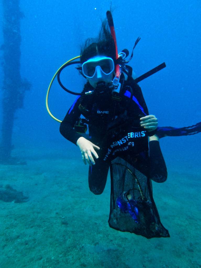
Entangled Help


Use the vertical tabs below to record any entangled animals you found of each type.

Hin Ngam

5
9

10.069427548757, 99.840384657061

sand
0

10.069427548757, 99.840384657061

Electric cable, bag
Sunny
10
Zip ties
The Coral Tribe
Jenny Dowling
0
1
5
8
2.65
60
13.00
4.00
20
measured
500.00
Rope (plastic/nylon)
Plastic fragments
Food wrappers (plastic)
On
kilograms
I have debris data to report
Calm (glassy to rippled) for waves 0 – 0.1 meter high
1
Found in the net
Crab
Released Unharmed
3
3
0
m2
meters
coral reef
1
2
Thailand
State\Province
Suratthani
City
Koh Tao
Map Help


Dive Location

If you know your survey site coordinates, enter them manually in decimal degrees using WGS84 Map Datum. Use the minus sign for latitudes south of the equator and longitudes west of the Prime Meridian to 180 degrees.

If you do not know your survey site coordinates, click the “Map Location” tab to use the map to zoom into your survey site and drop the pin on the map to fall within your survey dive site in the water (not on land or the beach). Ensure you zoom in as much as possible to ensure data accuracy.
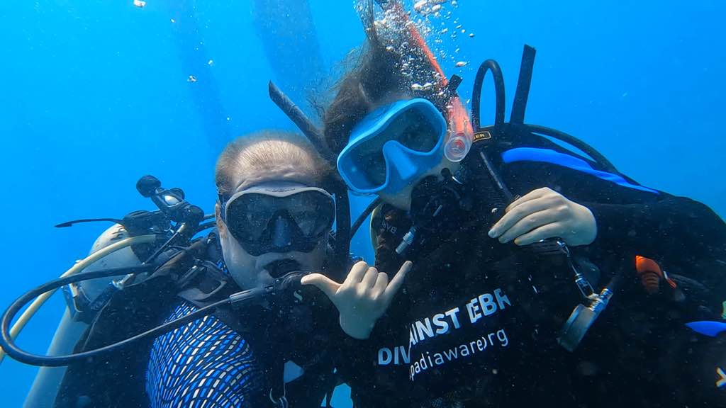
Entangled Help


Use the vertical tabs below to record any entangled animals you found of each type.

Lighthouse Bay

308
15
coral

10.120301028808, 99.843474674915

Isla Tortuga Divers
Nicolas Straffurini
30
2
26
1
148
20
52
25.60
65
8.00
5.00
2
measured
23363.60
On
kilograms
I have debris data to report
Calm (glassy to rippled) for waves 0 – 0.1 meter high
12
12
m2
meters
coral reef
4
3
98
Thailand
State\Province
Surat Thani
City
Koh Tao
Map Help


Dive Location

If you know your survey site coordinates, enter them manually in decimal degrees using WGS84 Map Datum. Use the minus sign for latitudes south of the equator and longitudes west of the Prime Meridian to 180 degrees.

If you do not know your survey site coordinates, click the “Map Location” tab to use the map to zoom into your survey site and drop the pin on the map to fall within your survey dive site in the water (not on land or the beach). Ensure you zoom in as much as possible to ensure data accuracy.
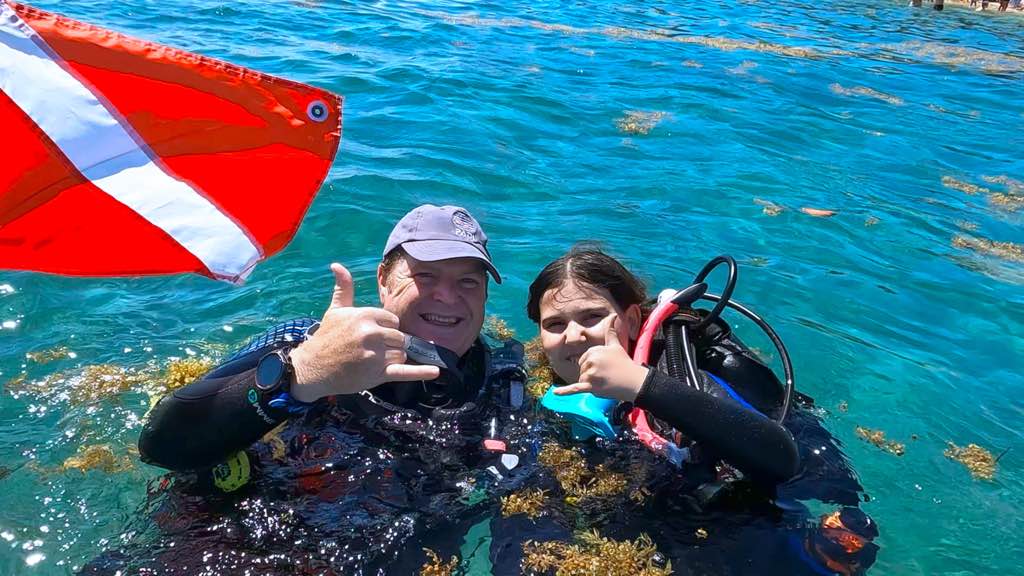
Entangled Help


Use the vertical tabs below to record any entangled animals you found of each type.

Blue Heron Bridge

0
8
0
0

26.78317, -80.04028

0
0
0
sand
0
0
0
4
0
No
Juan Bousquet
0
1
0
0
0
0
0
0
1
0
0
0
0
0
0
0
0
0
0
2
0
0
0
0
2
0
3
1
0
0
0
0
0
0
0
0
6.40
61
21.00
15.00
2
measured
0
3
3129.29
0
0
0
0
0
Hooks and lines from fisherman.
0
On
pounds
0
I have debris data to report
3
0
0
Calm (glassy to rippled) for waves 0 – 0.1 meter high
0
0
0
0
1
0
0
m2
0
0
feet
other
2
0
0
0
0
0
0
0
0
0
0
0
0
0
0
0
0
0
0
0
0
0
0
0
0
0
0
0
0
United States
State\Province
FL
City
Singer Island
Map Help


Dive Location

If you know your survey site coordinates, enter them manually in decimal degrees using WGS84 Map Datum. Use the minus sign for latitudes south of the equator and longitudes west of the Prime Meridian to 180 degrees.

If you do not know your survey site coordinates, click the “Map Location” tab to use the map to zoom into your survey site and drop the pin on the map to fall within your survey dive site in the water (not on land or the beach). Ensure you zoom in as much as possible to ensure data accuracy.

Entangled Help


Use the vertical tabs below to record any entangled animals you found of each type.

Ecosystem Other
Sandy

Blue Heron Bridge

0
10
0
0

26.78317, -80.04028

0
0
0
sand
0
0
0
0
0
No
Juan Bousquet
0
0
0
0
0
0
0
0
0
0
0
0
0
0
0
0
0
1
0
2
0
0
0
0
4
0
0
0
0
0
0
0
0
0
0
0
4.30
54
18.00
13.00
0
measured
0
3
21567.40
0
0
0
0
0
Hooks and fishing lines active while diving.
0
On
pounds
0
I have debris data to report
0
0
0
Calm (glassy to rippled) for waves 0 – 0.1 meter high
0
0
0
0
0
0
0
ft2
0
0
feet
other
3
0
0
0
0
0
0
0
0
0
0
0
0
0
0
0
2
0
0
0
1
0
0
0
0
0
0
0
0
United States
State\Province
FL
City
Singer Island
Map Help


Dive Location

If you know your survey site coordinates, enter them manually in decimal degrees using WGS84 Map Datum. Use the minus sign for latitudes south of the equator and longitudes west of the Prime Meridian to 180 degrees.

If you do not know your survey site coordinates, click the “Map Location” tab to use the map to zoom into your survey site and drop the pin on the map to fall within your survey dive site in the water (not on land or the beach). Ensure you zoom in as much as possible to ensure data accuracy.

Entangled Help


Use the vertical tabs below to record any entangled animals you found of each type.

Ecosystem Other
Sandy

Kiosco

0
0
0
0

11.299281442704, -74.193267912984

0
0
0
coral
0
0
0
0
0
No
No se encontró ningún residuo
Ninguno
Océano Scuba
Luis Cardona
0
0
0
0
0
0
0
0
0
0
0
0
0
0
0
0
0
0
0
2
0
0
0
0
0
0
0
0
0
0
0
0
0
0
0
0
0.00
20
11.00
7.00
0
measured
0
0
9927.36
0
0
0
0
0
0
On
kilograms
0
Our Survey Site was free of debris
0
0
0
Calm (glassy to rippled) for waves 0 – 0.1 meter high
0
0
0
0
0
0
0
m2
0
0
meters
coral reef
0
0
0
0
0
0
0
0
0
0
0
0
0
0
0
0
0
0
0
0
0
0
0
0
0
0
0
0
0
Colombia
State\Province
Taganga
City
Taganga
Map Help


Dive Location

If you know your survey site coordinates, enter them manually in decimal degrees using WGS84 Map Datum. Use the minus sign for latitudes south of the equator and longitudes west of the Prime Meridian to 180 degrees.

If you do not know your survey site coordinates, click the “Map Location” tab to use the map to zoom into your survey site and drop the pin on the map to fall within your survey dive site in the water (not on land or the beach). Ensure you zoom in as much as possible to ensure data accuracy.

Entangled Help


Use the vertical tabs below to record any entangled animals you found of each type.

Brougierpark Unterwilen

silt

47.018886067468, 8.4715112459884

a screw
Sunny, little cloudy
TSK Zürich
Niggi
1
6
1.00
25
5.00
2.00
estimated
250.00
1
On
kilograms
I have debris data to report
Calm (glassy to rippled) for waves 0 – 0.1 meter high m2
meters
other
1
1
1
Switzerland
City
Zürich
Map Help


Dive Location

If you know your survey site coordinates, enter them manually in decimal degrees using WGS84 Map Datum. Use the minus sign for latitudes south of the equator and longitudes west of the Prime Meridian to 180 degrees.

If you do not know your survey site coordinates, click the “Map Location” tab to use the map to zoom into your survey site and drop the pin on the map to fall within your survey dive site in the water (not on land or the beach). Ensure you zoom in as much as possible to ensure data accuracy.

Entangled Help


Use the vertical tabs below to record any entangled animals you found of each type.

Ecosystem Other
freshwater lake

Molasses Leaf

0
0
0
0

25.015553, -80.376103

0
0
0
coral
0
0
0
0
0
No
Sunny and windy
Stephen Domorod
Stephen Domorod
0
0
0
0
0
0
0
0
0
0
0
0
0
0
0
0
0
0
0
6
0
0
0
0
0
0
0
0
0
0
0
0
0
0
0
0
0.00
45
35.00
15.00
0
estimated
0
0
0
0
46236.30
0
0
0
0
0
0
On
pounds
0
Our Survey Site was free of debris
0
0
0
Slight for waves 0.5 -1.25 meter high
0
0
0
0
0
0
0
ft2
0
0
feet
coral reef
0
0
0
0
0
0
0
0
0
0
0
0
0
0
0
0
0
0
0
0
0
0
0
0
0
0
0
0
0
United States
State\Province
Florida
City
Key Largo
Map Help


Dive Location

If you know your survey site coordinates, enter them manually in decimal degrees using WGS84 Map Datum. Use the minus sign for latitudes south of the equator and longitudes west of the Prime Meridian to 180 degrees.

If you do not know your survey site coordinates, click the “Map Location” tab to use the map to zoom into your survey site and drop the pin on the map to fall within your survey dive site in the water (not on land or the beach). Ensure you zoom in as much as possible to ensure data accuracy.

Entangled Help


Use the vertical tabs below to record any entangled animals you found of each type.

Seabell

0
coral
1

5.909937406736, 102.70965600456

Sunny and clear
Perhentian Marine Research Station
Muhammad Naquib
3
2.30
37
13.80
2.00
measured
100.00
On
kilograms
I have debris data to report
Calm (glassy to rippled) for waves 0 – 0.1 meter high m2
meters
coral reef
Malaysia
State\Province
Terengganu
City
Perhentian Island
Map Help


Dive Location

If you know your survey site coordinates, enter them manually in decimal degrees using WGS84 Map Datum. Use the minus sign for latitudes south of the equator and longitudes west of the Prime Meridian to 180 degrees.

If you do not know your survey site coordinates, click the “Map Location” tab to use the map to zoom into your survey site and drop the pin on the map to fall within your survey dive site in the water (not on land or the beach). Ensure you zoom in as much as possible to ensure data accuracy.

Entangled Help


Use the vertical tabs below to record any entangled animals you found of each type.

Subscribe to