Ultrafreeze
0
0
0
0
21.3555, -86.6561
0
0
0
sand
0
0
0
300
0
This site is a favorite for sport fishing
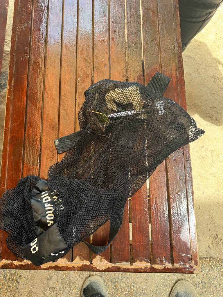
Quantity of fishing line is the estimated length.
None
Windy and choppy for a few days until Apr 29th. Navigation allowed on apr 30th
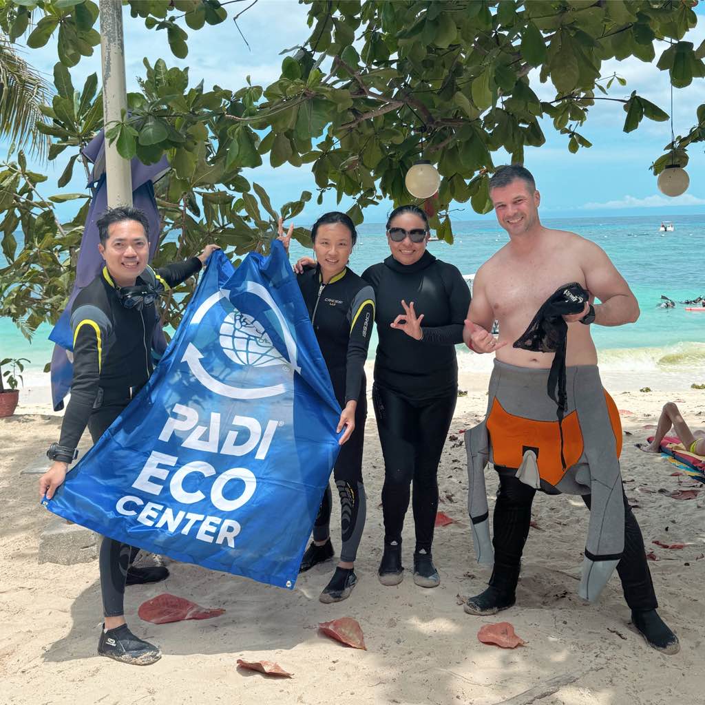
Pocna Dive Center
Manlio Leggio
0
0
0
0
0
0
0
0
0
0
0
0
0
0
0
0
0
0
0
9
0
0
0
0
0
0
0
0
0
0
0
0
0
0
0
0
5.00
30
30.00
25.00
0
estimated
0
31
300.00
0
0
0
0
0
Fishing lines
Fishing hooks
0
On
kilograms
0
I have debris data to report
0
0
0
Calm (glassy to rippled) for waves 0 – 0.1 meter high
0
0
0
0
0
0
0
m2


1
0
meters
other
1
0
0
0
0
0
0
0
0
0
0
0
0
0
0
0
0
0
0
0
0
0
0
0
0
0
0
0
0
State\Province
QR
City
Isla Mujeres
Map Help
Dive Location
If you know your survey site coordinates, enter them manually in decimal degrees using WGS84 Map Datum. Use the minus sign for latitudes south of the equator and longitudes west of the Prime Meridian to 180 degrees.
If you do not know your survey site coordinates, click the “Map Location” tab to use the map to zoom into your survey site and drop the pin on the map to fall within your survey dive site in the water (not on land or the beach). Ensure you zoom in as much as possible to ensure data accuracy.
Entangled Help
Use the vertical tabs below to record any entangled animals you found of each type.
Ecosystem Other
Shipwreck