Oakland Ledges
26.1527, -80.0891
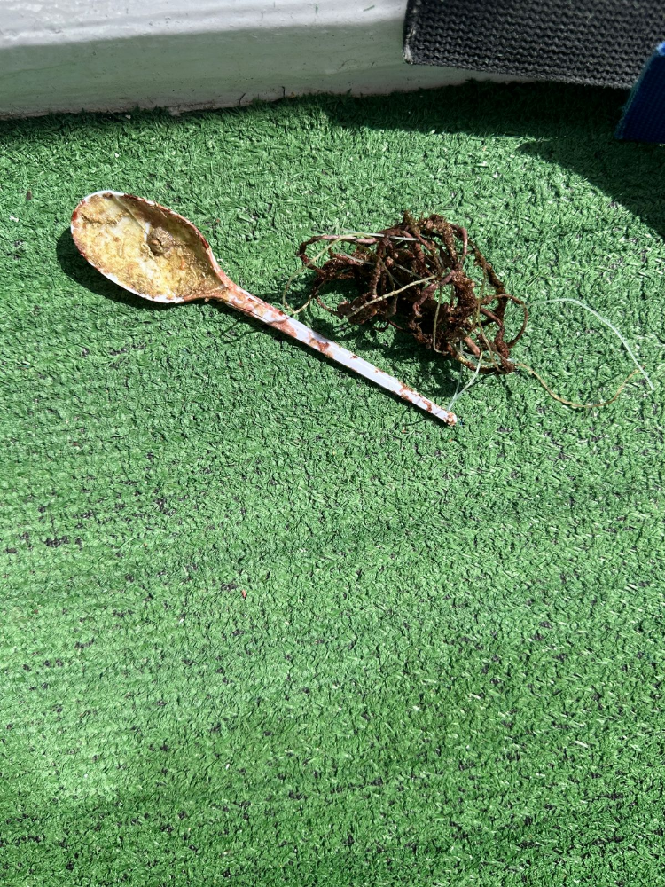
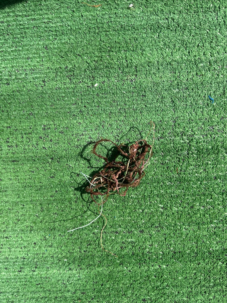
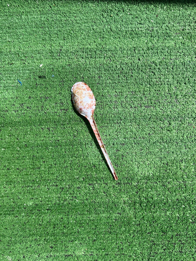
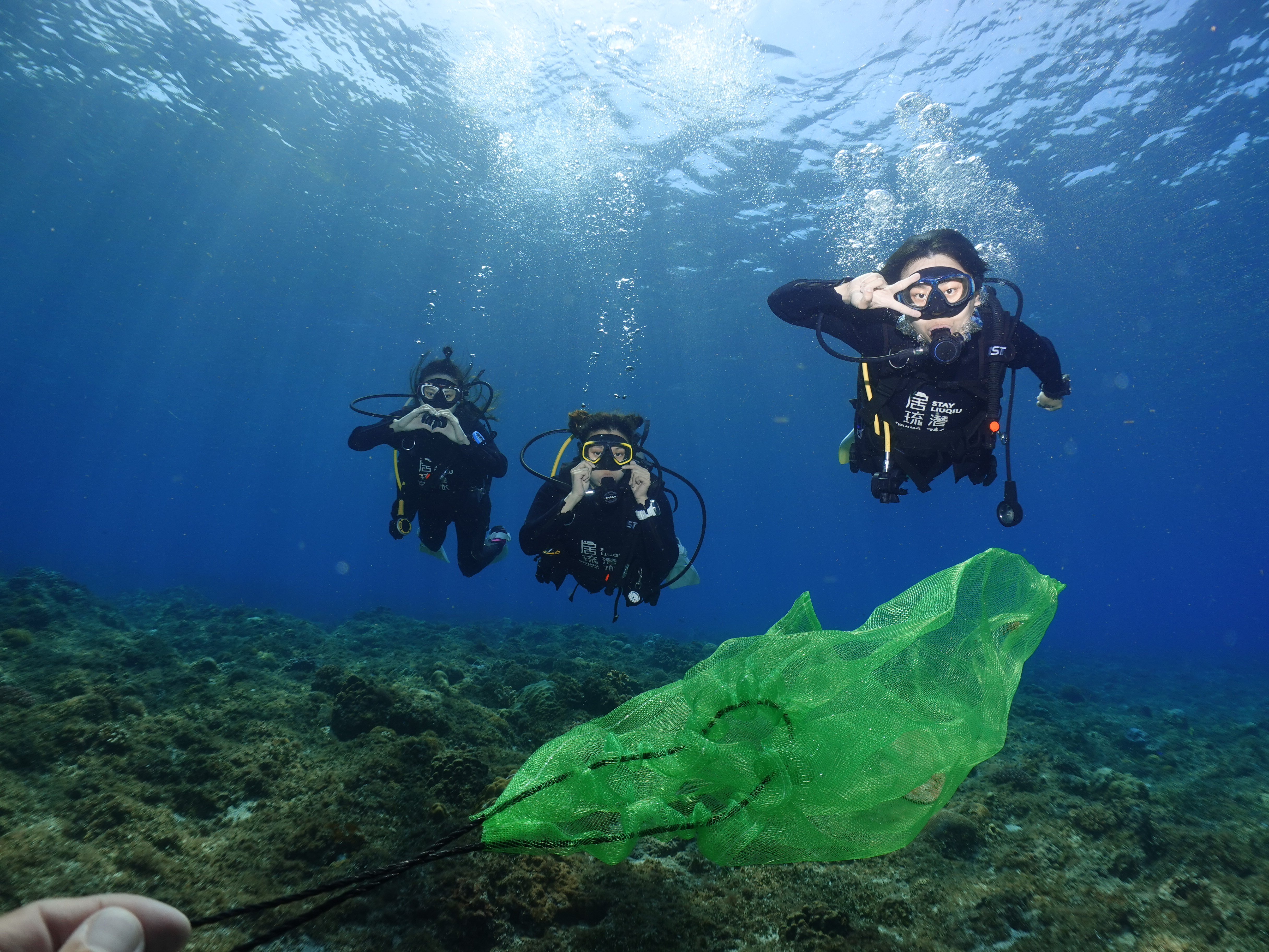
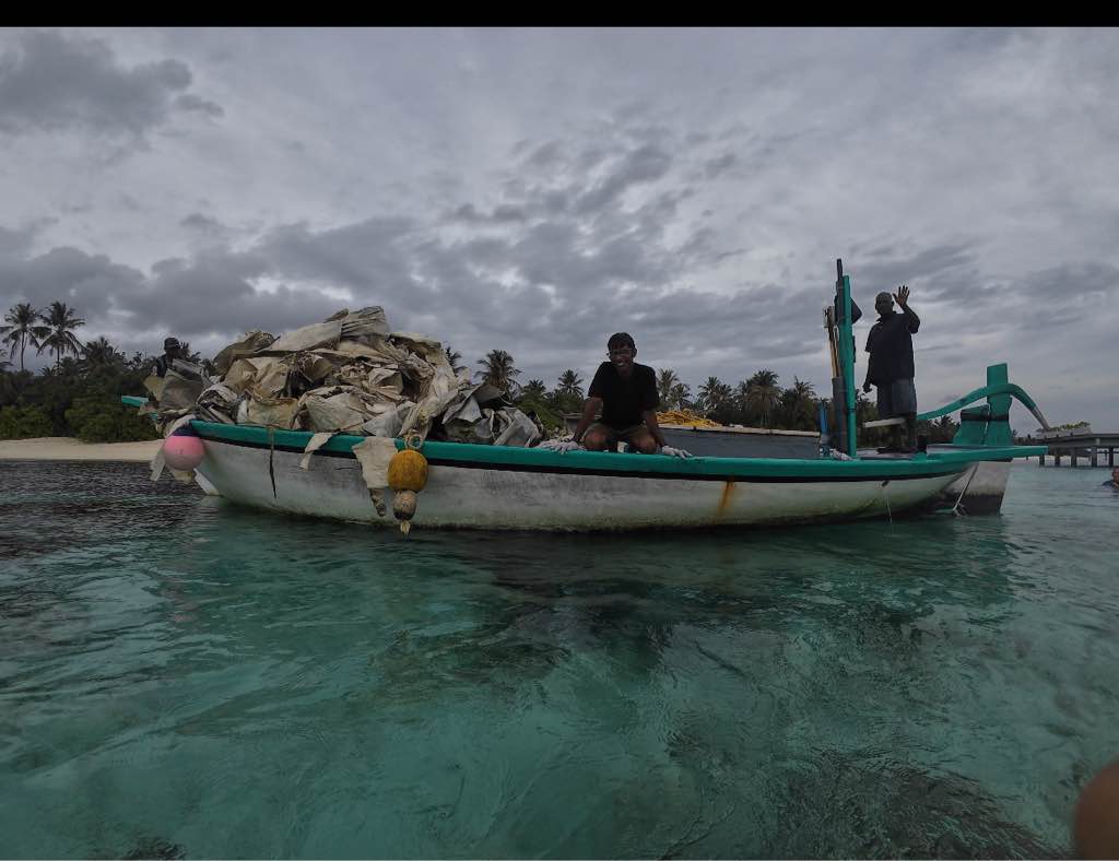
We drifted over 15 tires from the Osborne Reef that we did not have the ability to bring out of the water.
Strong winds earlier in week to light winds.
Scuba Marco
John Blake
2
0.00
53
30.00
25.00
estimated
9999.00
On
pounds
Our Survey Site was free of debris
Calm (glassy to rippled) for waves 0 – 0.1 meter high
ft2
feet
coral reef
State\Province
FL
City
Marco Island
Map Help
Dive Location
If you know your survey site coordinates, enter them manually in decimal degrees using WGS84 Map Datum. Use the minus sign for latitudes south of the equator and longitudes west of the Prime Meridian to 180 degrees.
If you do not know your survey site coordinates, click the “Map Location” tab to use the map to zoom into your survey site and drop the pin on the map to fall within your survey dive site in the water (not on land or the beach). Ensure you zoom in as much as possible to ensure data accuracy.
Entangled Help