N Venice Public Beach
0
0
0
1
27.100850806089, -82.463144214129
0
0
0
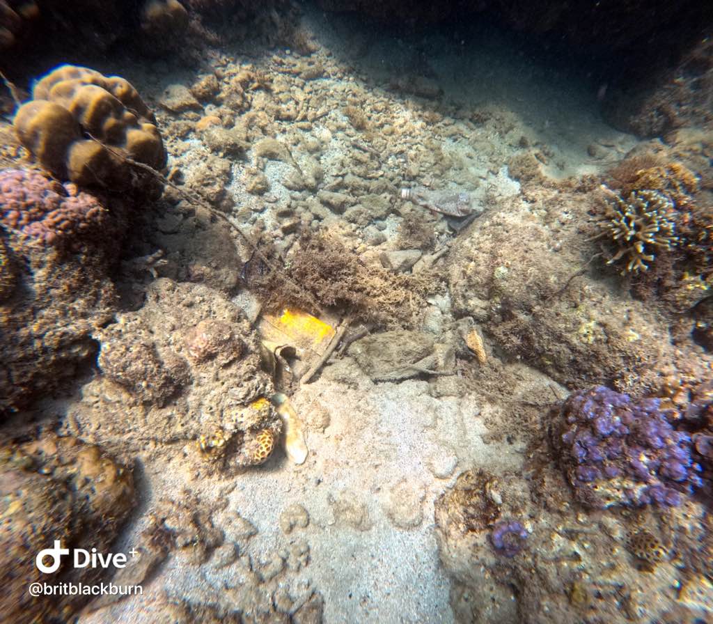
gravel
0
0
0
0
0
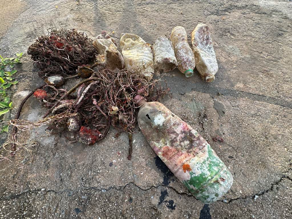
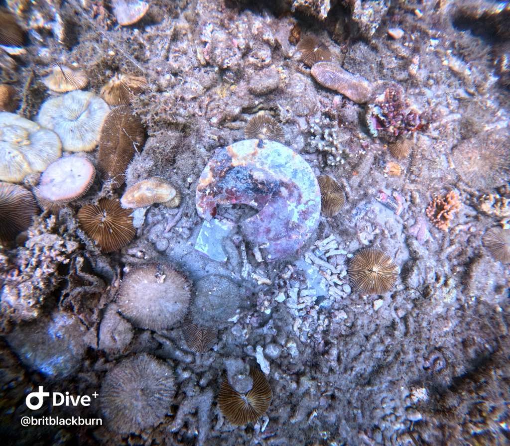
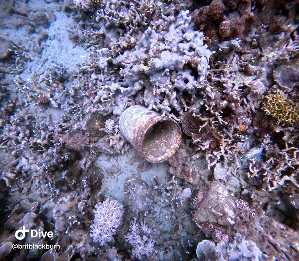
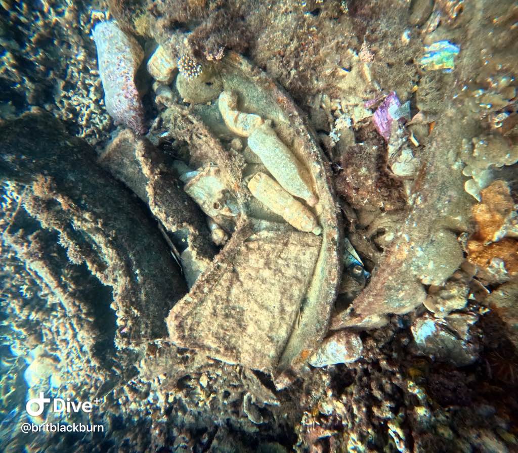
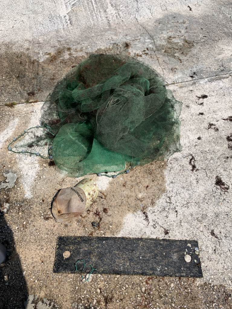
Net was covering several rocks of the reef
No
Is there a way to add more than one species in each entangled category? If not, that would be a helpful addition
Two sub adult and two juvenile
Hat
Release condition was lethargic and had facial abrasions, snapper was just about dead
Too decomposed to identify
No rain, hot
1
Knob
Sarasota Ocean Preservers
Brooke Welch
0
0
0
0
0
0
0
0
0
0
0
0
1
0
0
0
0
0
0
2
0
0
0
0
0
0
0
0
0
0
0
0
0
0
0
0
35.00
66
19.00
15.00
0
estimated
0
0
429.74
0
0
0
0
0
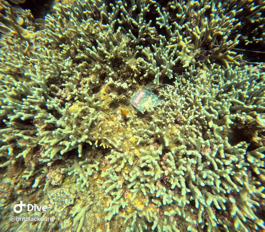
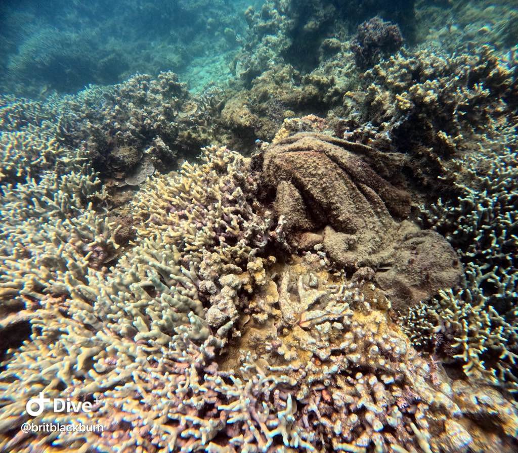
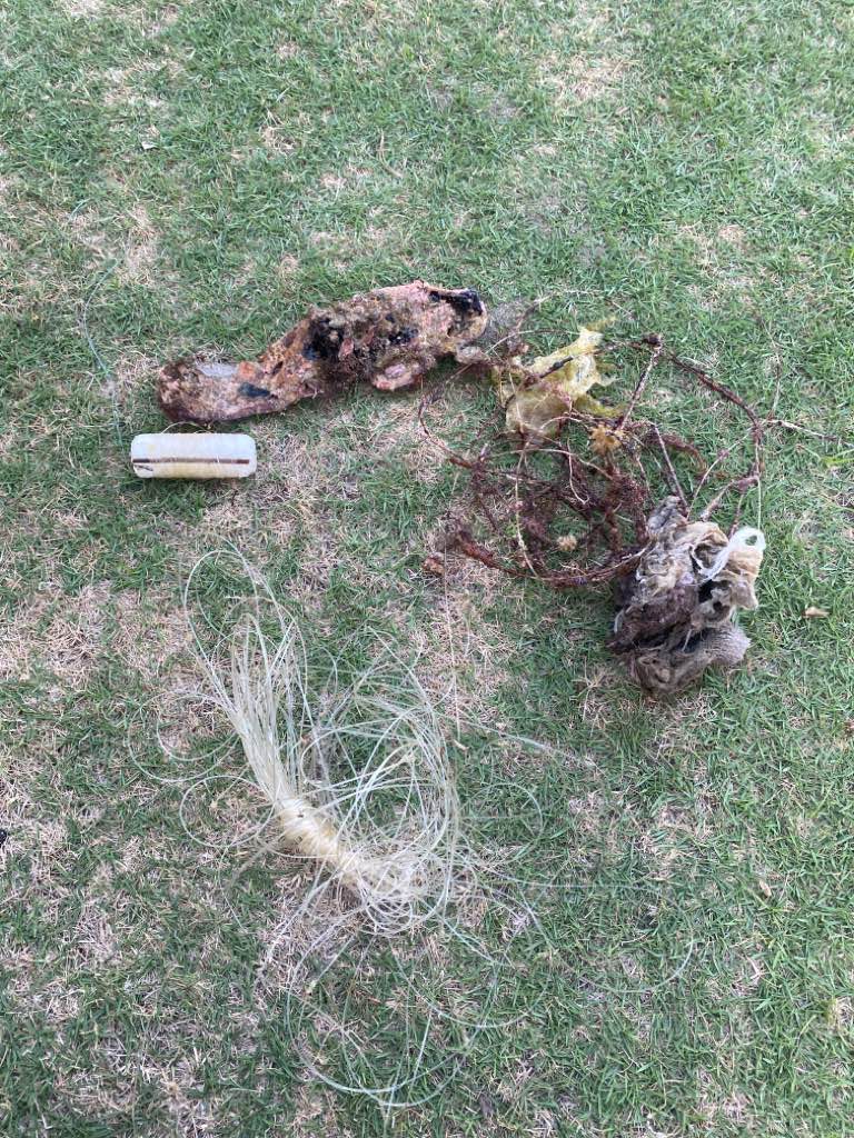
Fishing net
Line from fishing activities
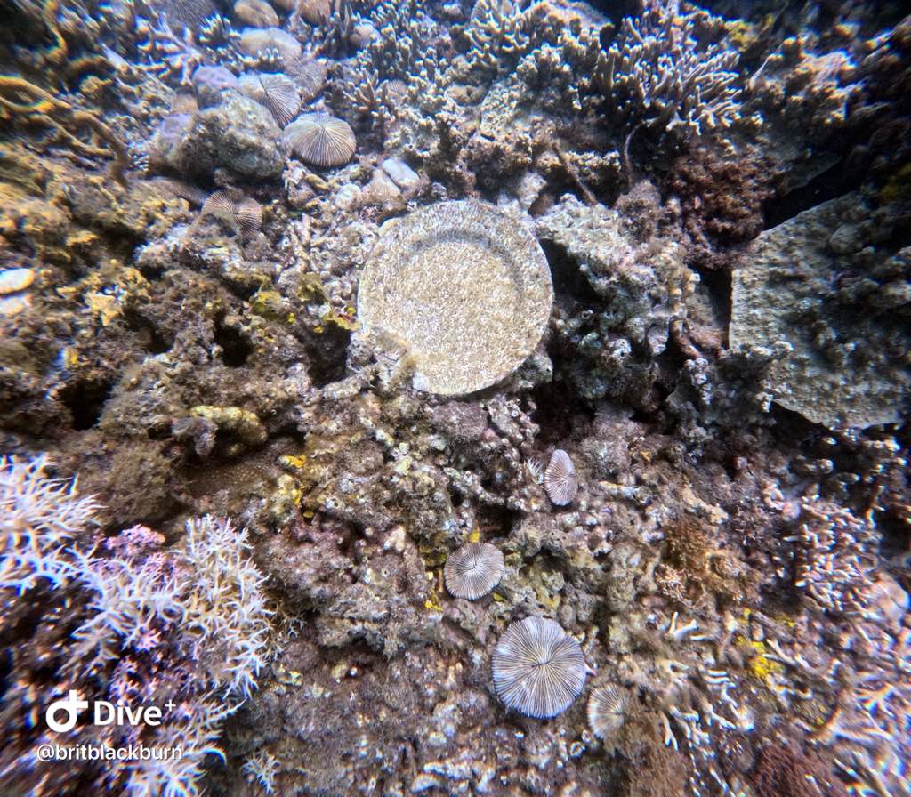
Plastic
0
On
pounds
0
I have debris data to report
0
0
0
Calm (glassy to rippled) for waves 0 – 0.1 meter high
0
0
0
Fishing net
Dead
Unknown
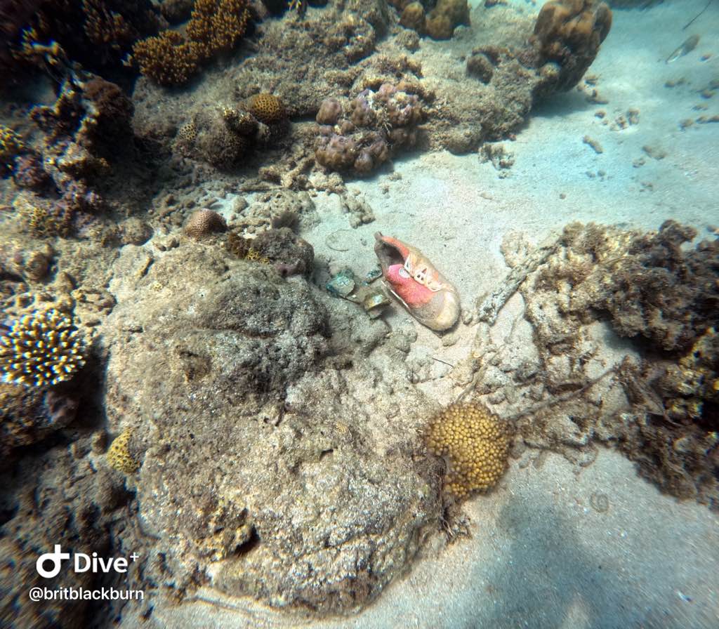
Stone crab
Released Unharmed
4
1
Fishing net
0
0
0
0
m2
0
0
2
Fishing net
Grouper and snapper
Injured
feet
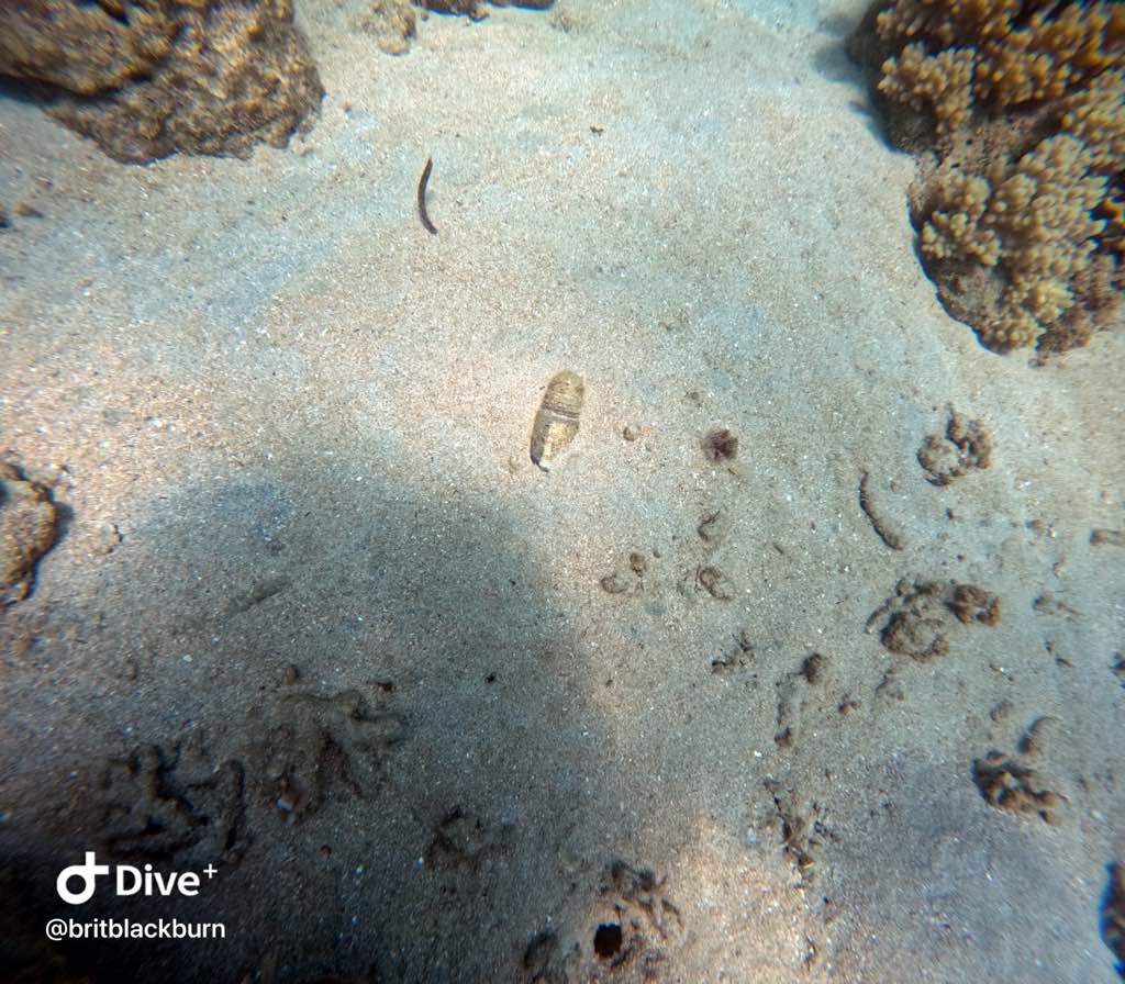
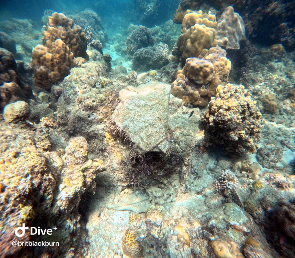
rocky reef
2
0
0
0
0
0
0
0
0
1
0
0
0
0
0
0
0
0
0
0
0
0
0
0
0
0
0
0
0
State\Province
Florida
City
Venice
Map Help
Dive Location
If you know your survey site coordinates, enter them manually in decimal degrees using WGS84 Map Datum. Use the minus sign for latitudes south of the equator and longitudes west of the Prime Meridian to 180 degrees.
If you do not know your survey site coordinates, click the “Map Location” tab to use the map to zoom into your survey site and drop the pin on the map to fall within your survey dive site in the water (not on land or the beach). Ensure you zoom in as much as possible to ensure data accuracy.
Entangled Help