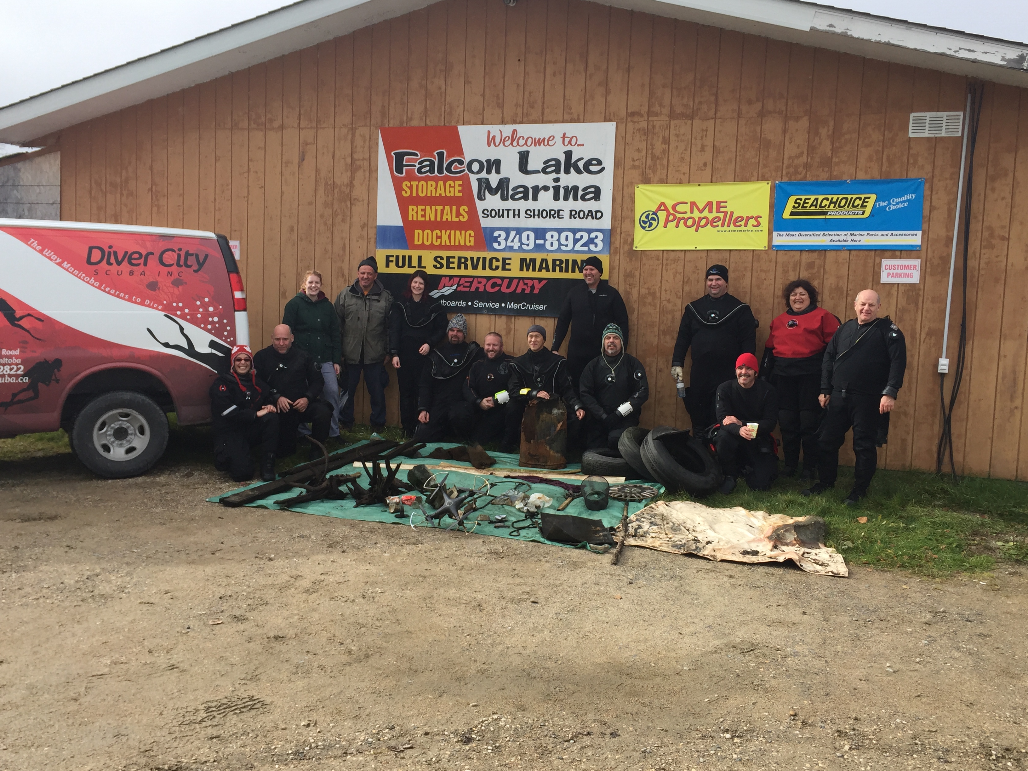
ADS06 - The Pipe
1
1
2
50.693845, -1.928221
1
9
50.69386611586837, -1.9282400608062744
no
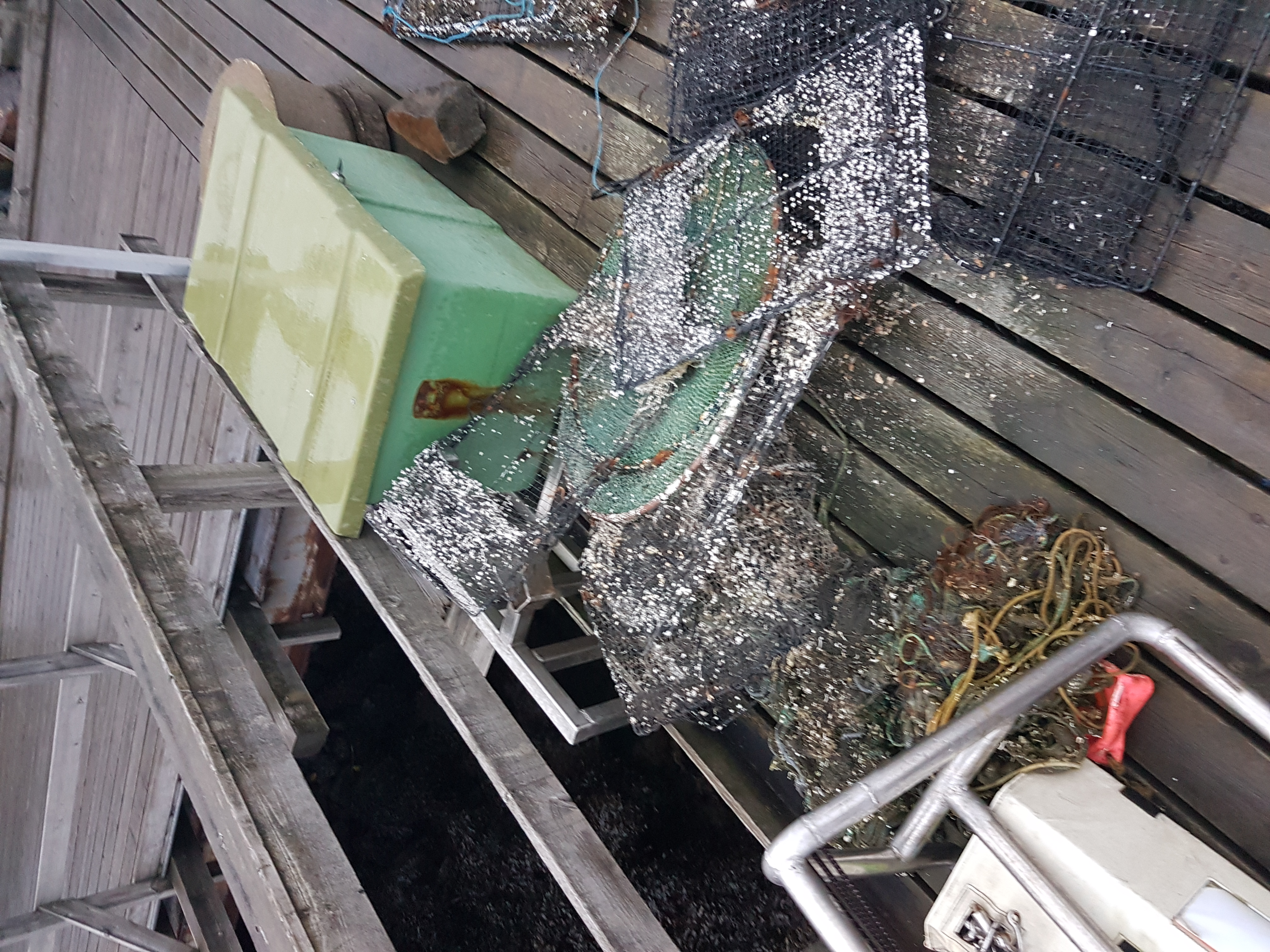
old glass milk bottle
The weather has been reasonably warm and sunny. The winds have been predominately light, north and west
Emma Christison
1
2
12.00
90
7.00
1.00
14
measured
1500.00
2
1
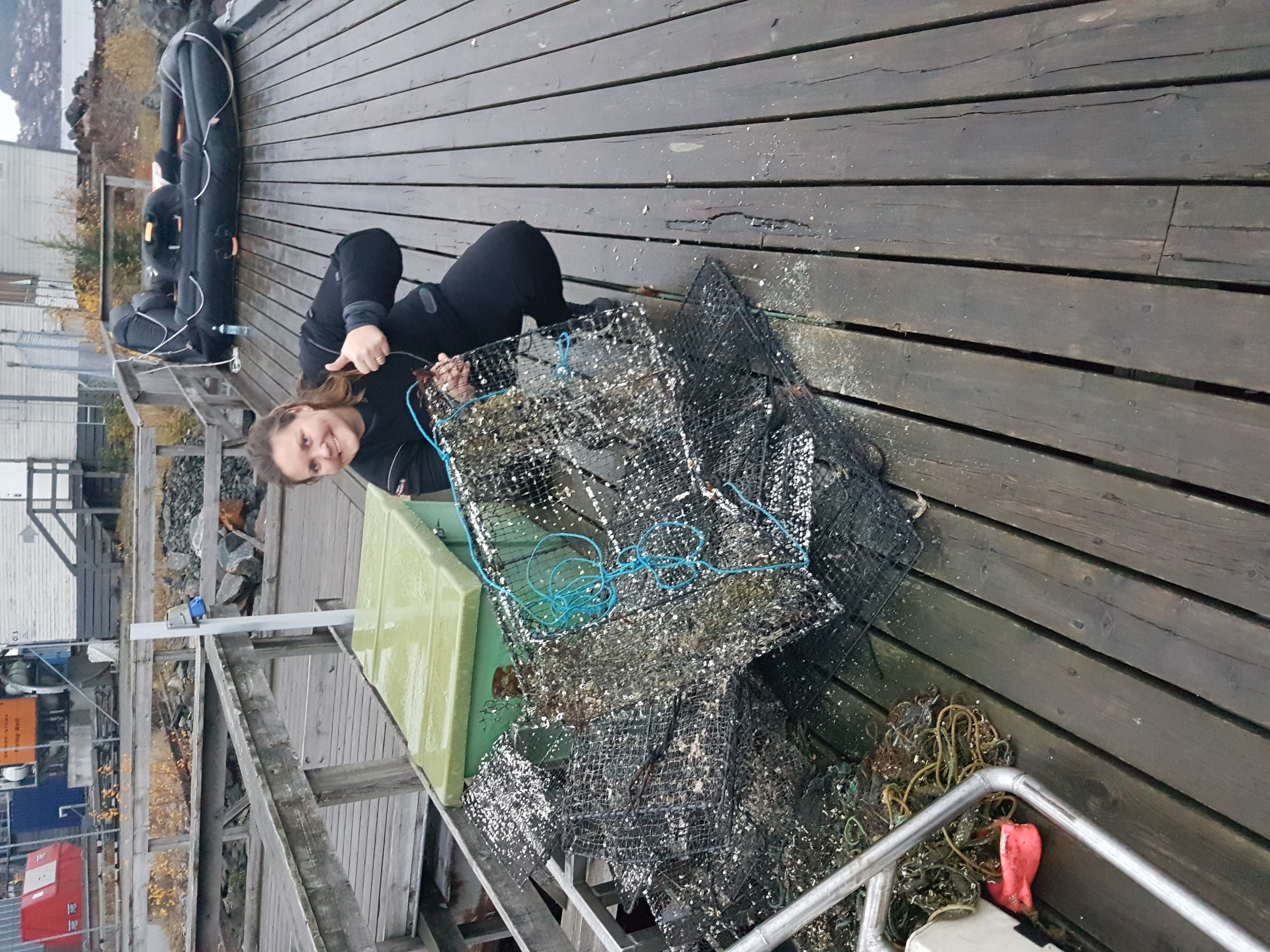
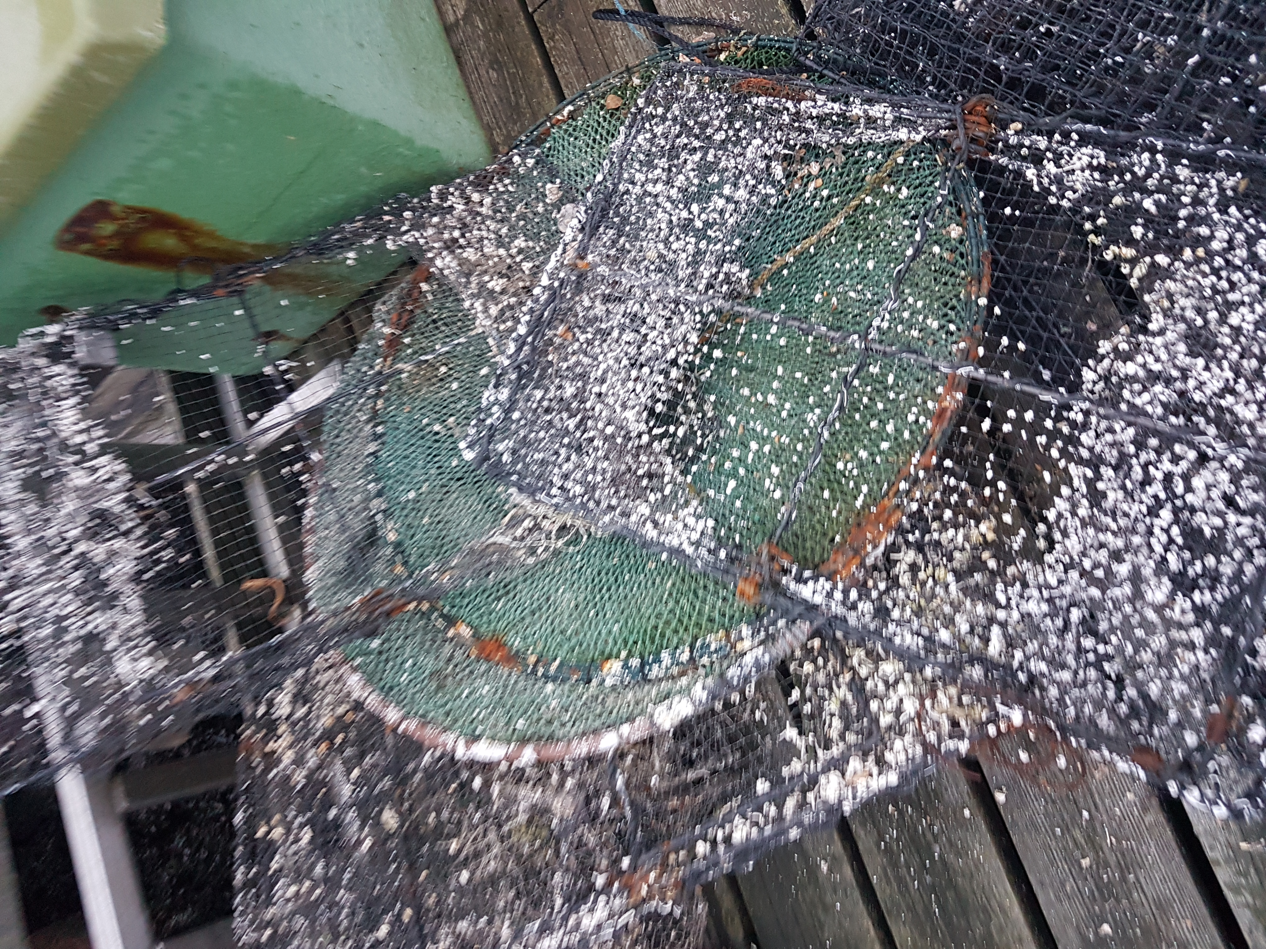
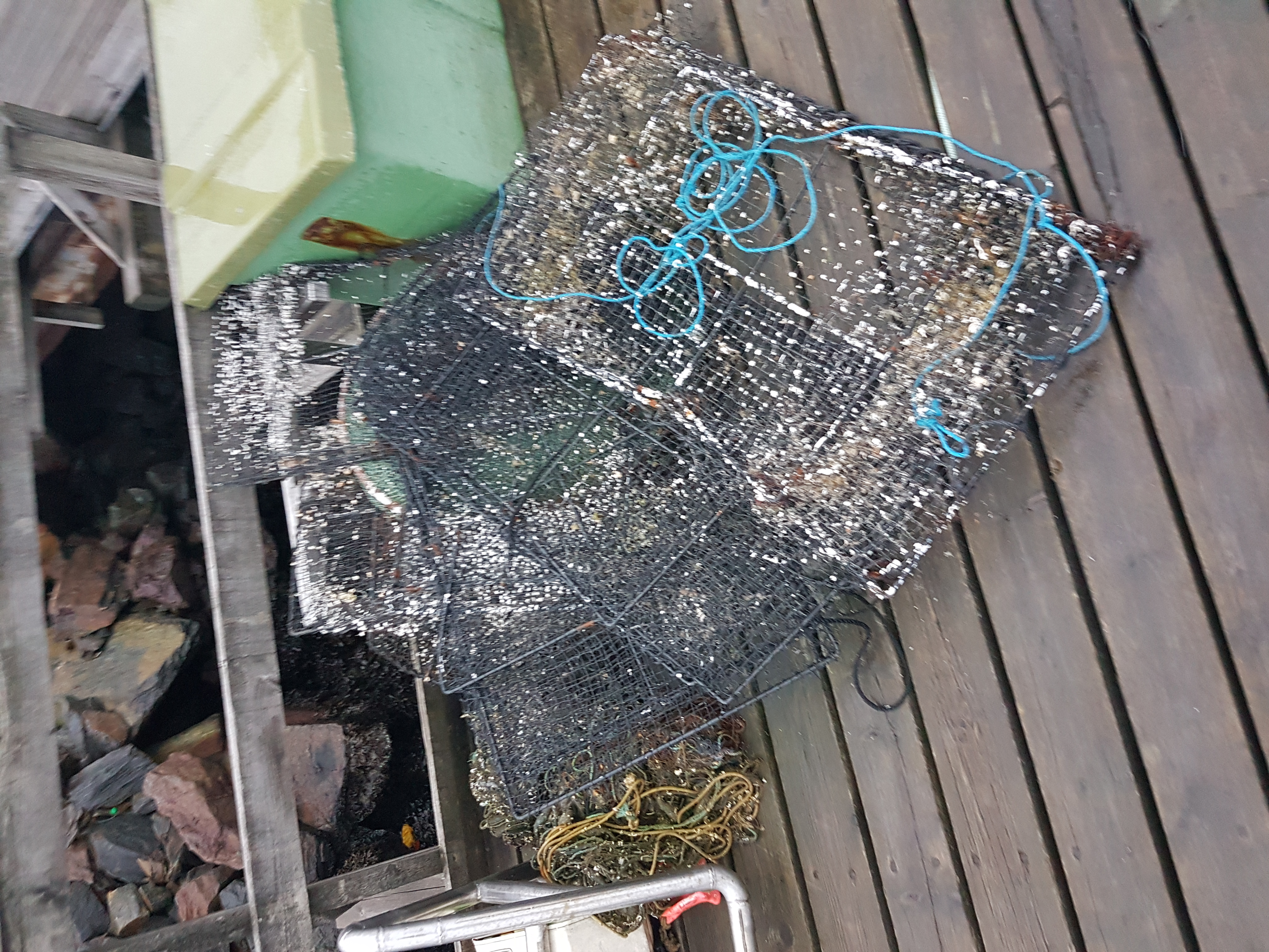
monfilament net - entanglement
fishing line - entanglement
On
kilograms
I have debris data to report
2
Calm (glassy to rippled) for waves 0 – 0.1 meter high
2
monofilment net
spider crab
Released Unharmed
5
m2


3
1
meters
rocky reef
2
State\Province
Dorset
City
Poole
Map Help
Dive Location
If you know your survey site coordinates, enter them manually in decimal degrees using WGS84 Map Datum. Use the minus sign for latitudes south of the equator and longitudes west of the Prime Meridian to 180 degrees.
If you do not know your survey site coordinates, click the “Map Location” tab to use the map to zoom into your survey site and drop the pin on the map to fall within your survey dive site in the water (not on land or the beach). Ensure you zoom in as much as possible to ensure data accuracy.
Entangled Help