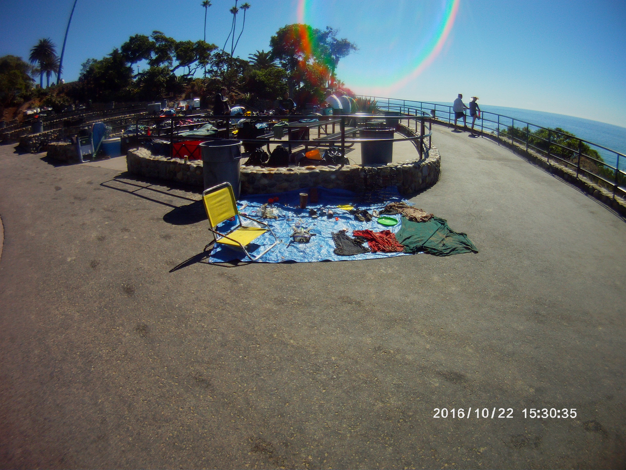
Menu

Gulf Shores Beach

sand

30.245885082205398, -87.69058220390434

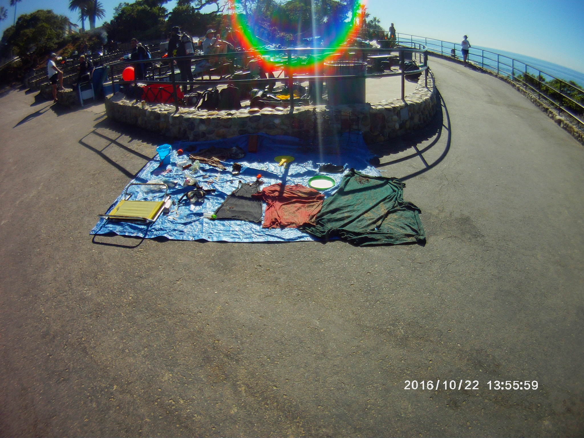
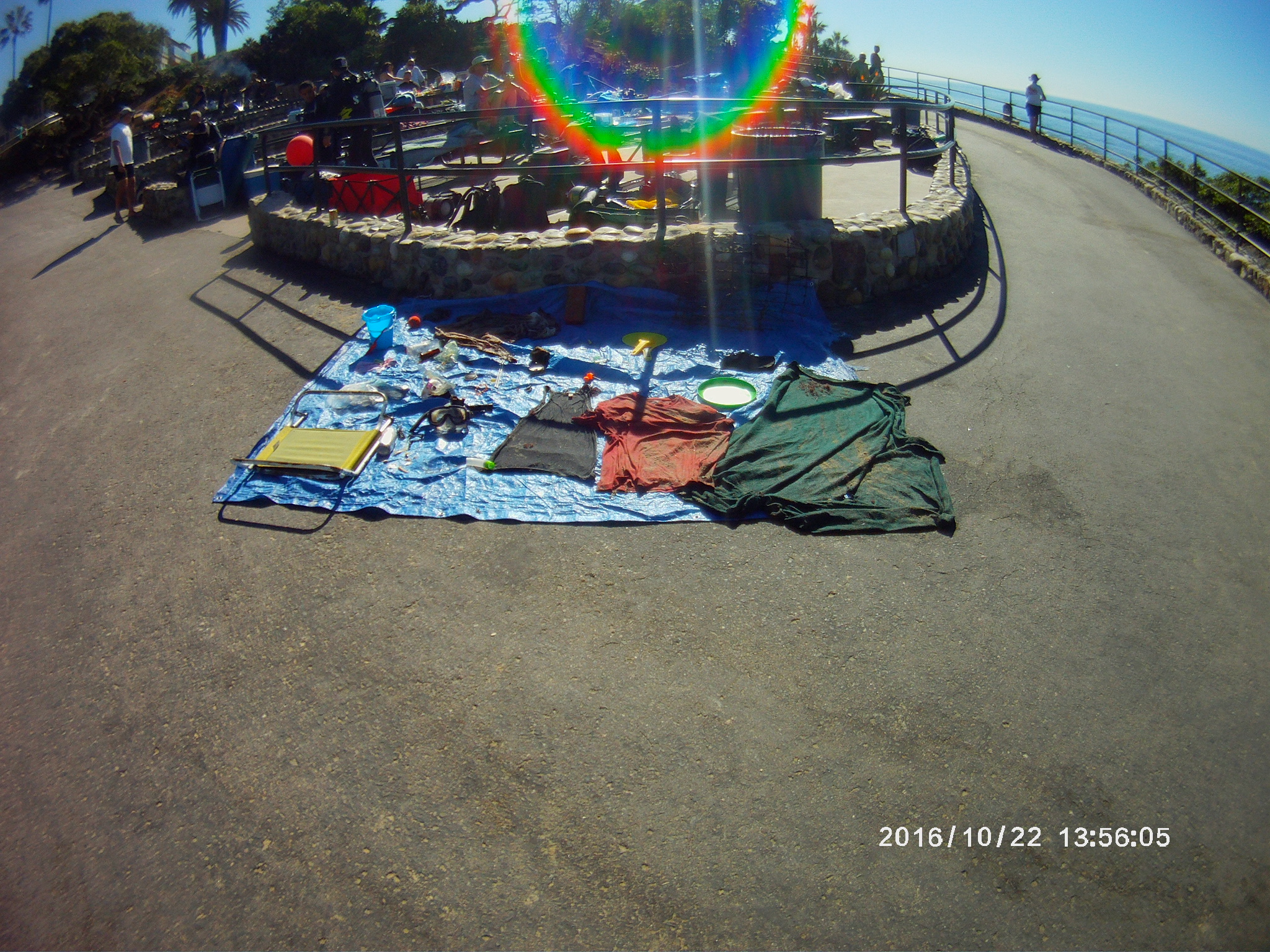
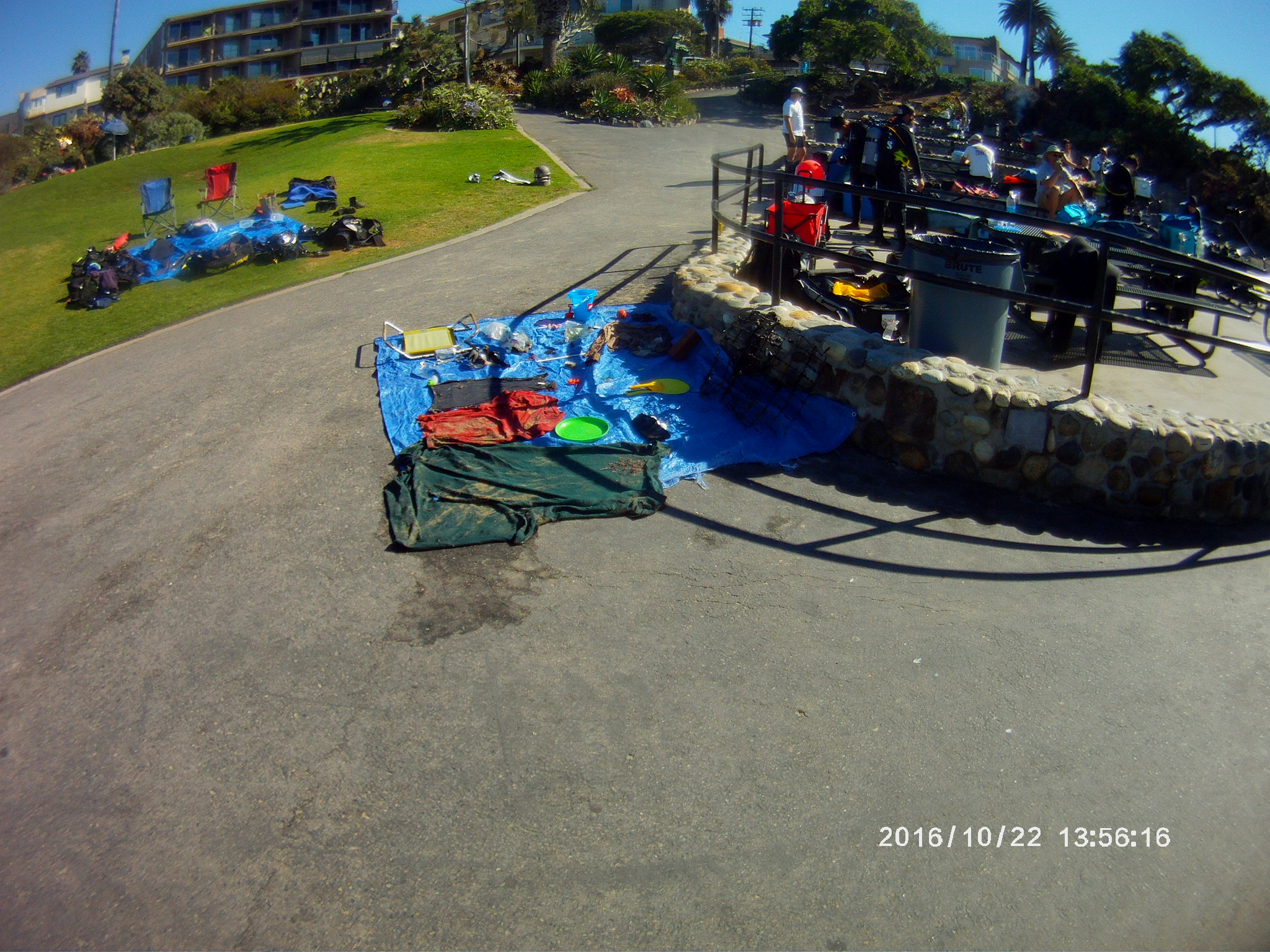
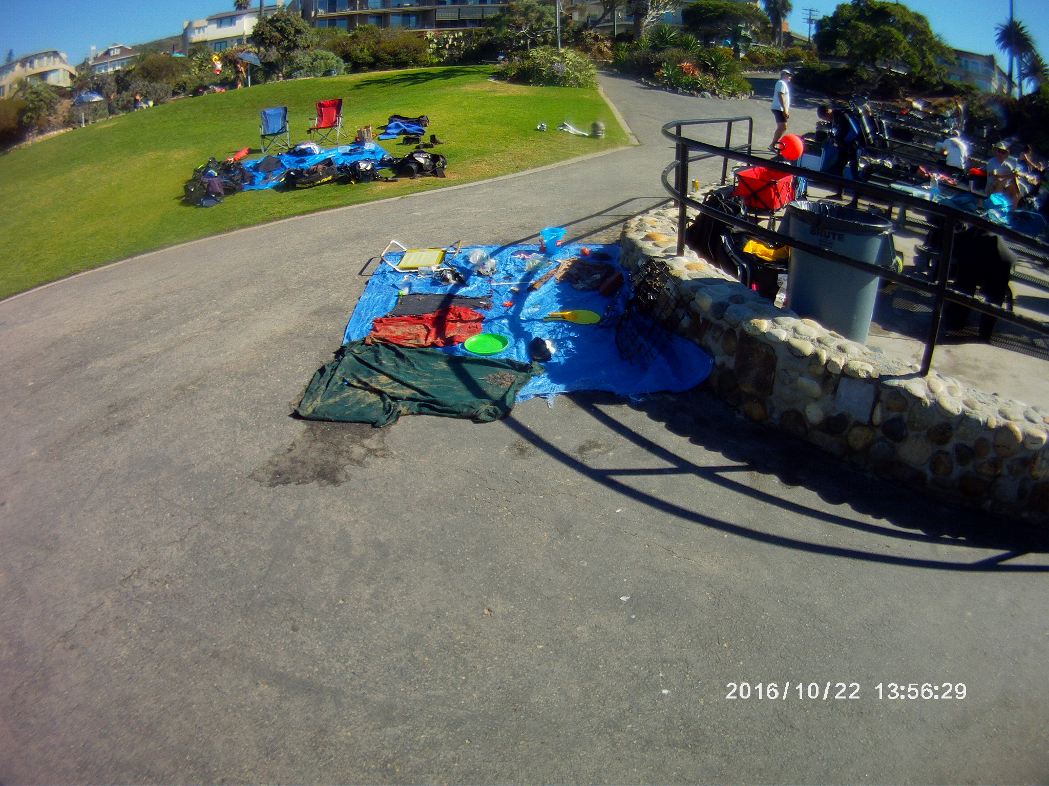
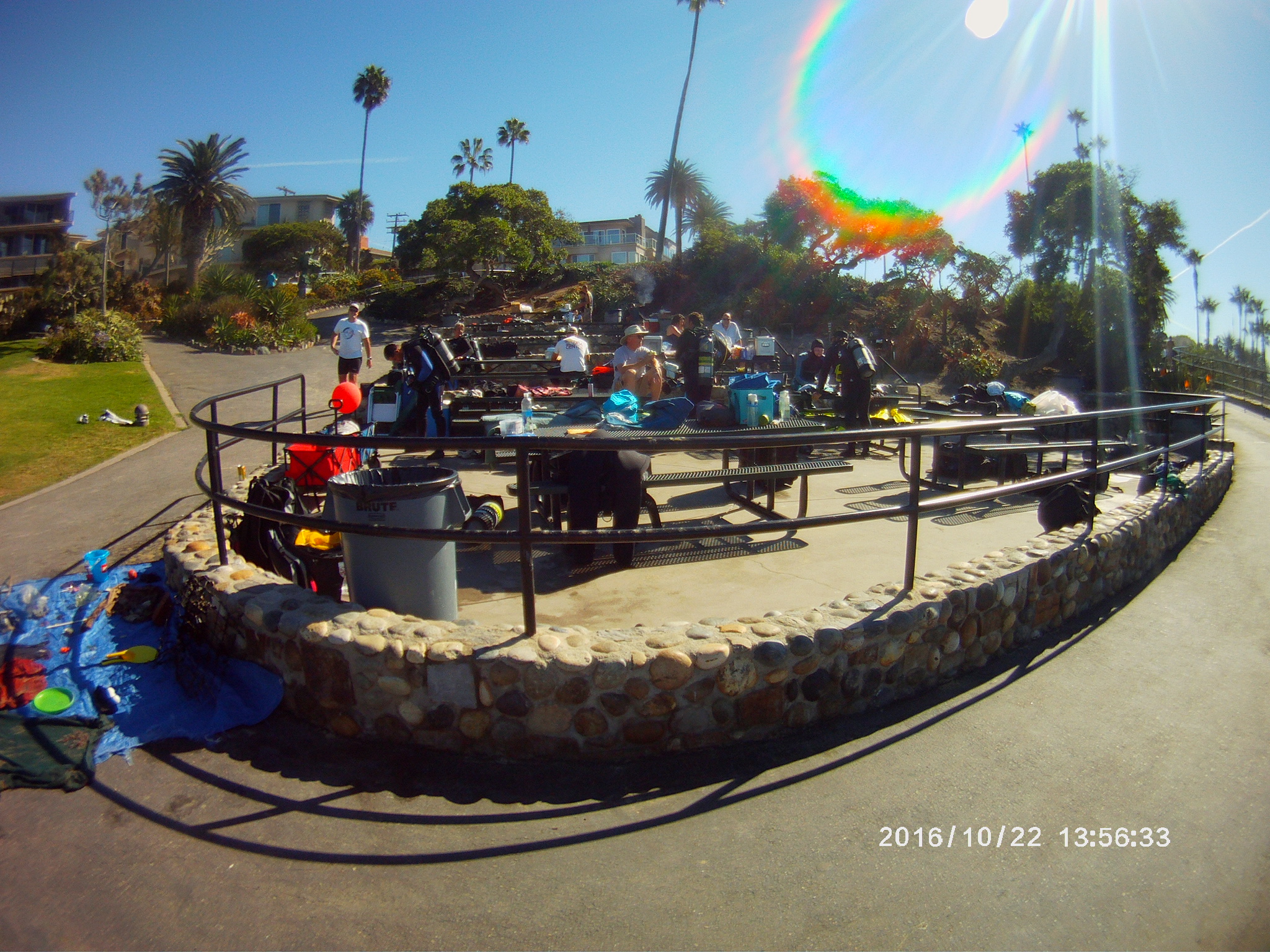
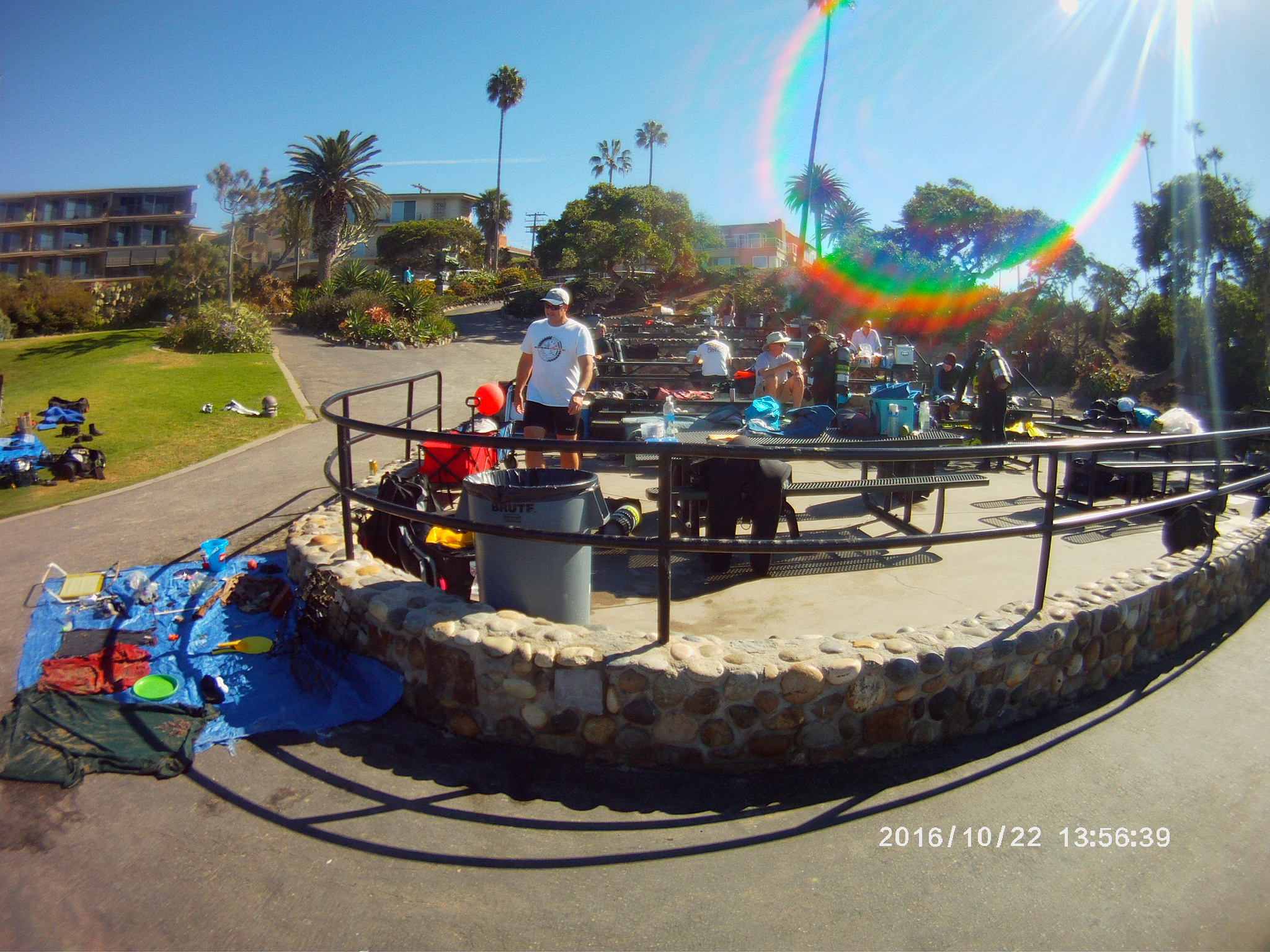
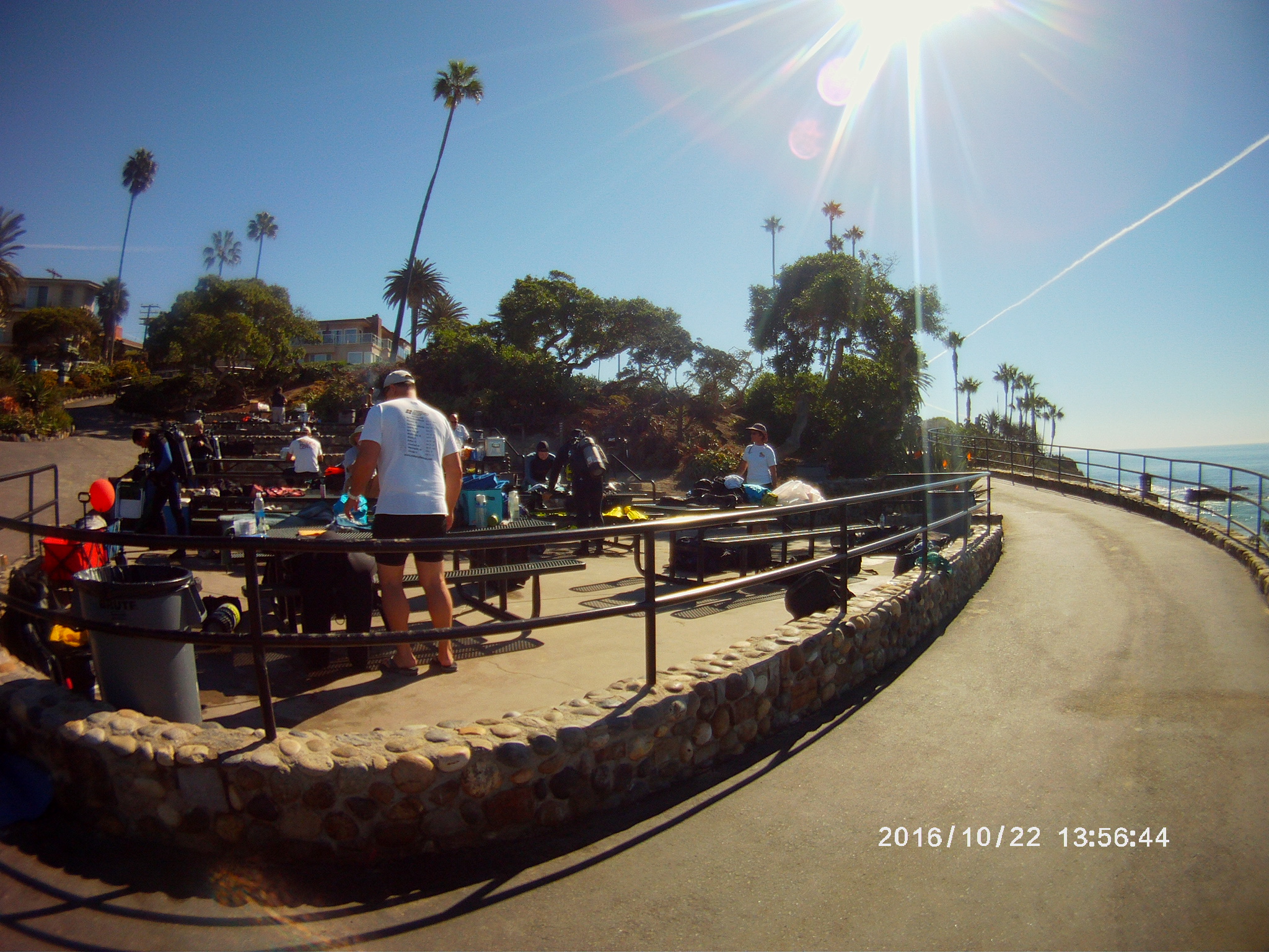
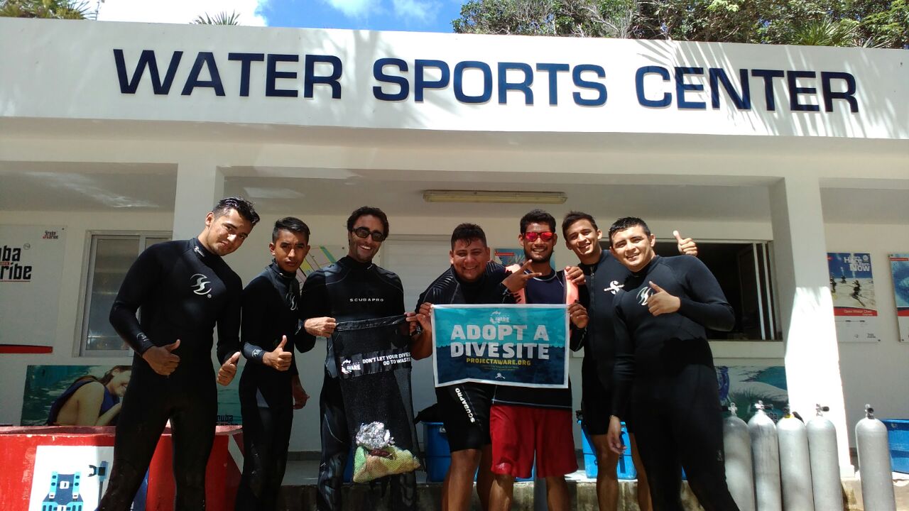
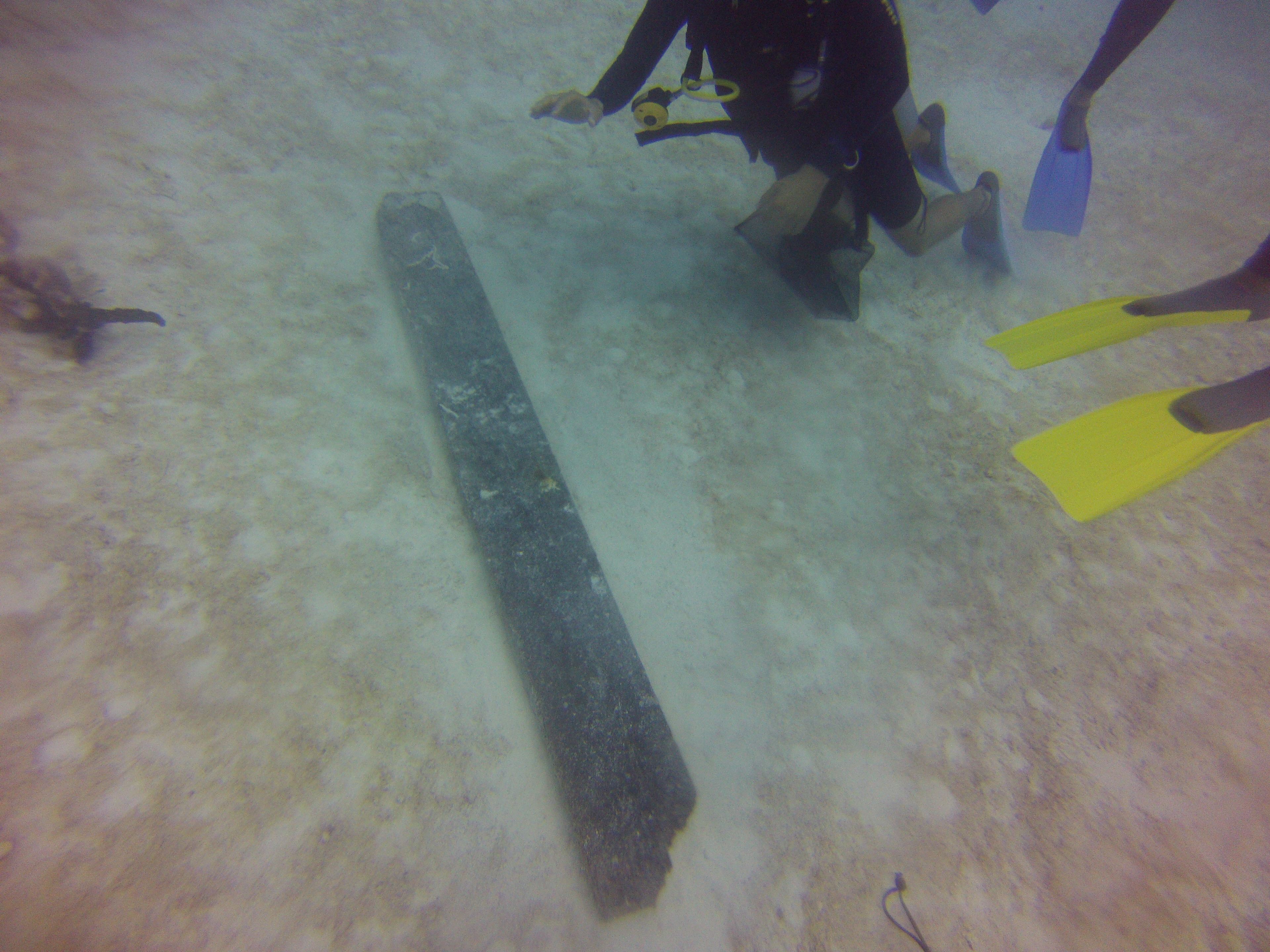
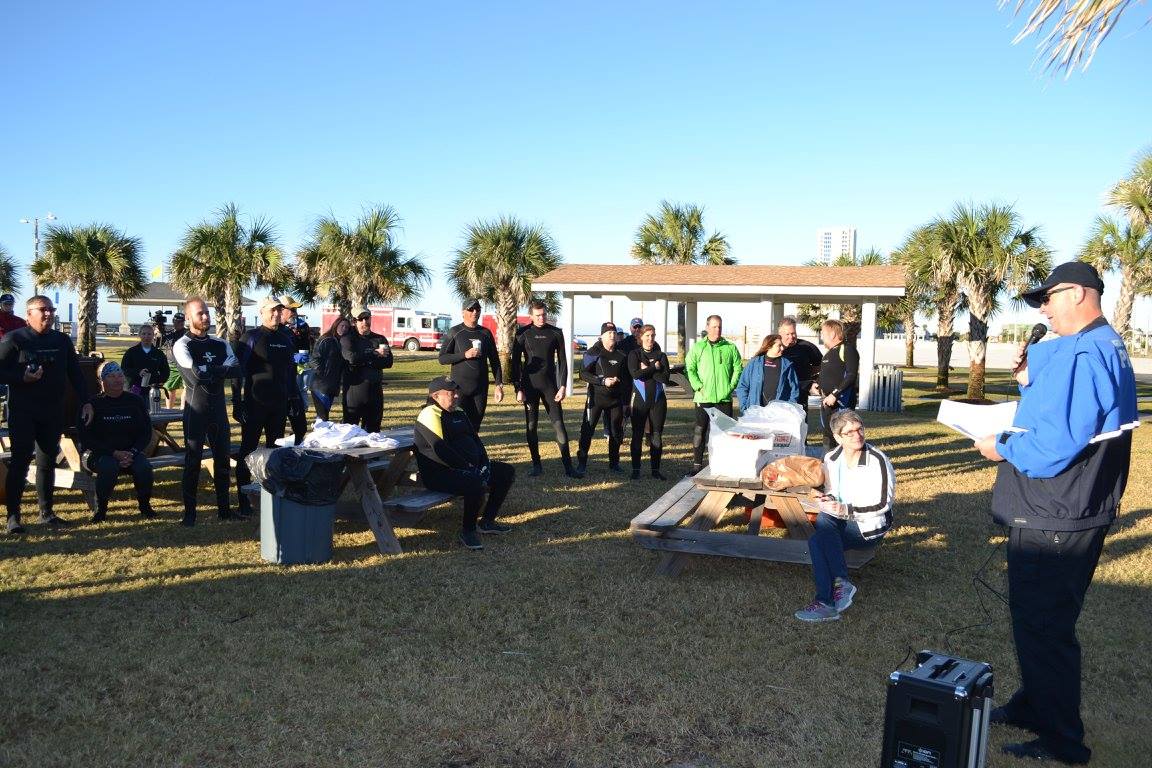
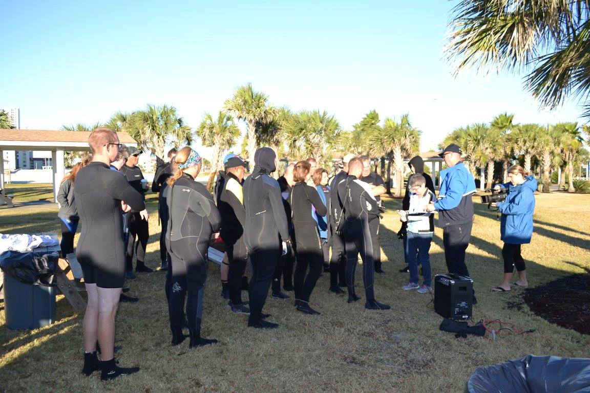
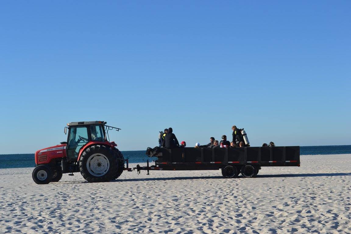
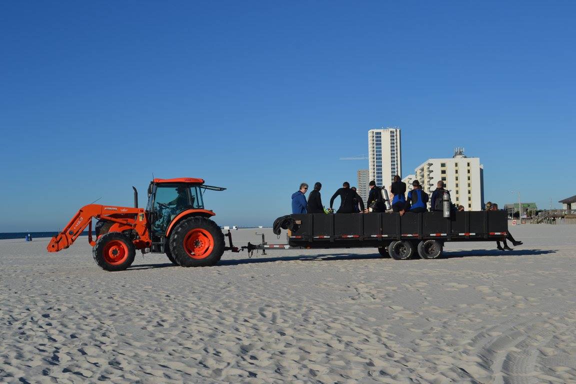
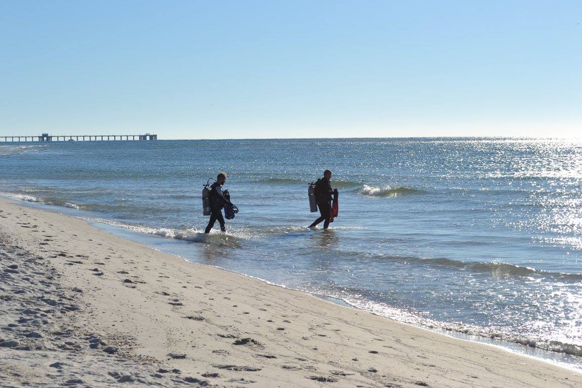
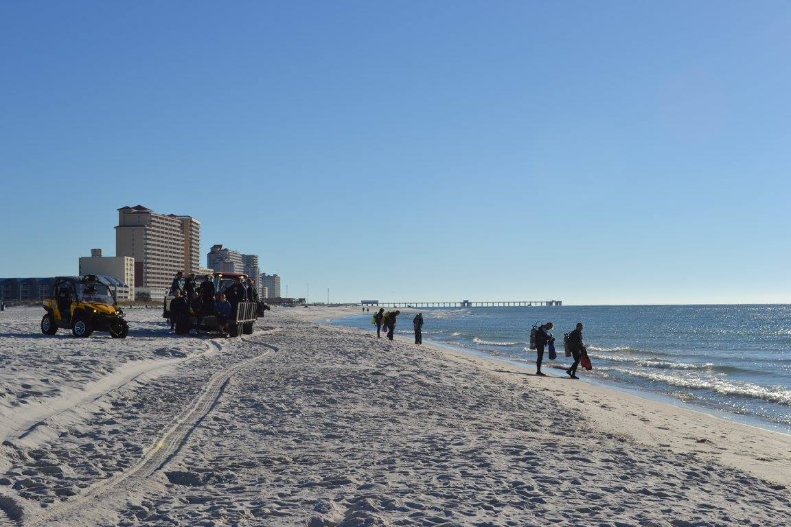
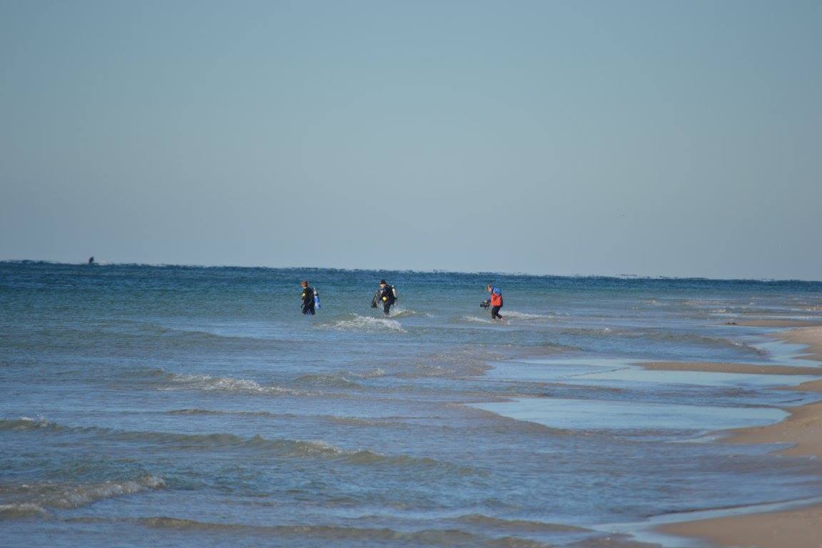
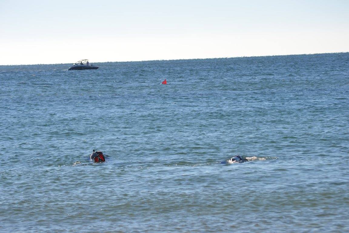
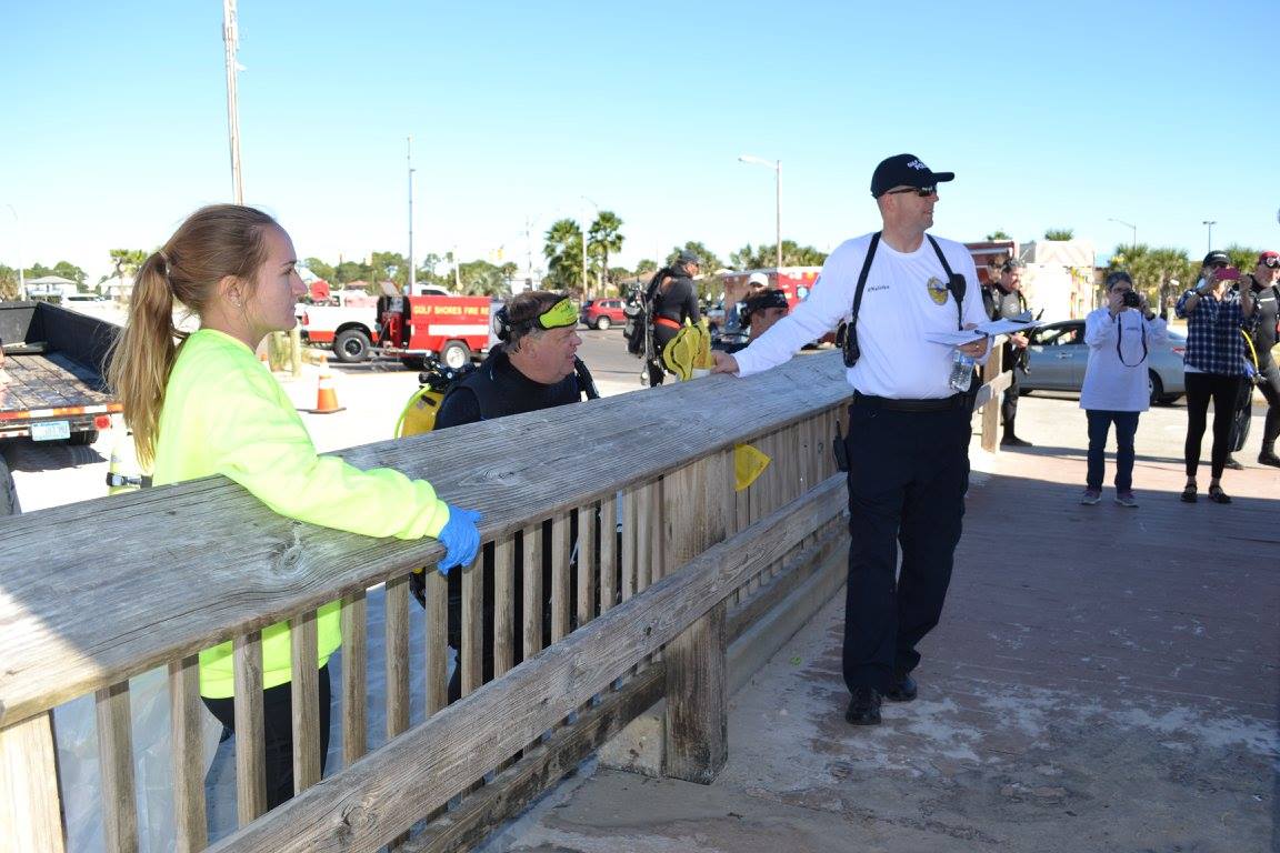
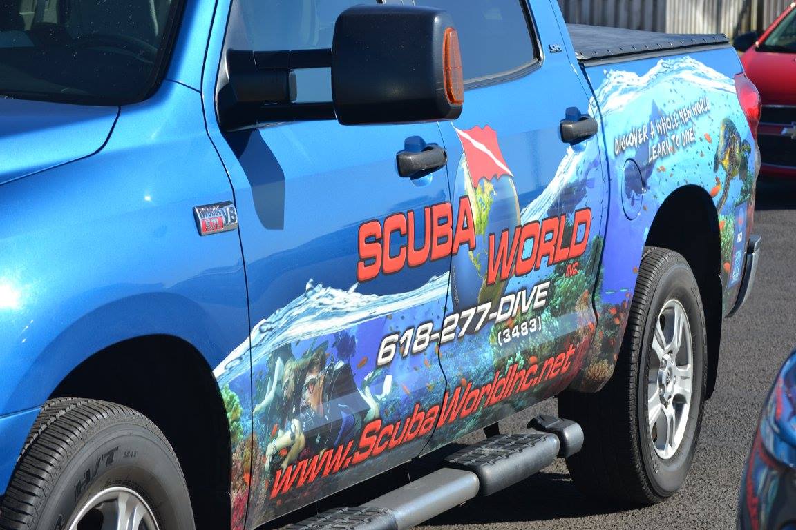
The search area was broken down into search zones where the divers conducted their cleanup efforts. The weather conditions for the dive were superb. Winds from the North kept the waves down and visibility was 10+ feet. Water temperature was at 77 degrees Fahrenheit. Air temp was much lower due to the wind. A dive shop with many individuals from Illinois came down to participate in this event. We had great volunteer support from individuals in the community along with support from various businesses.
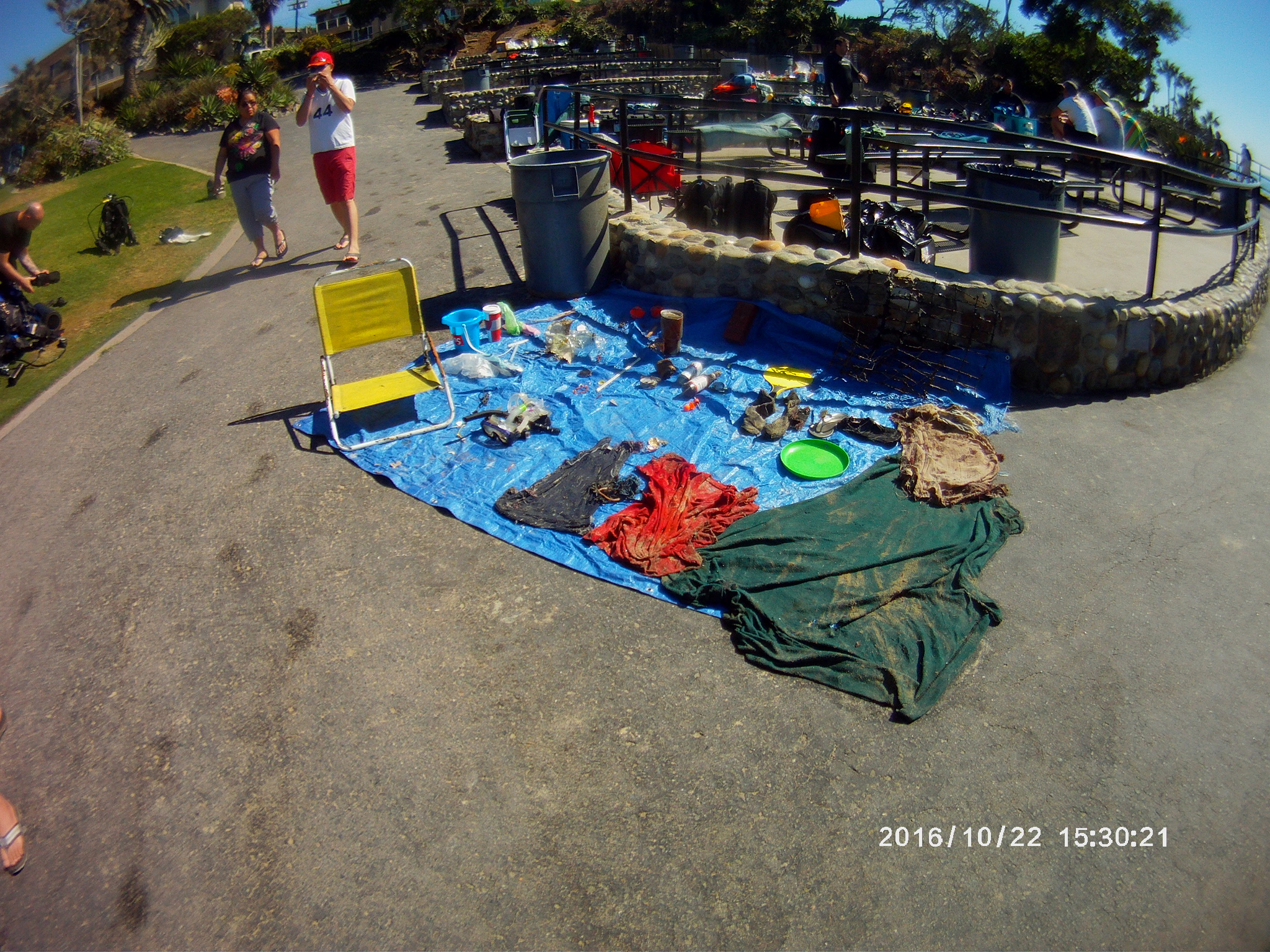
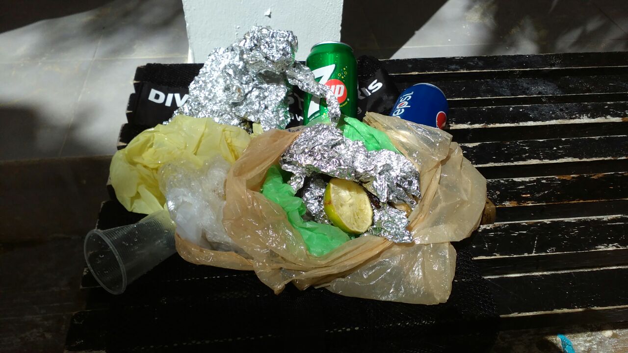
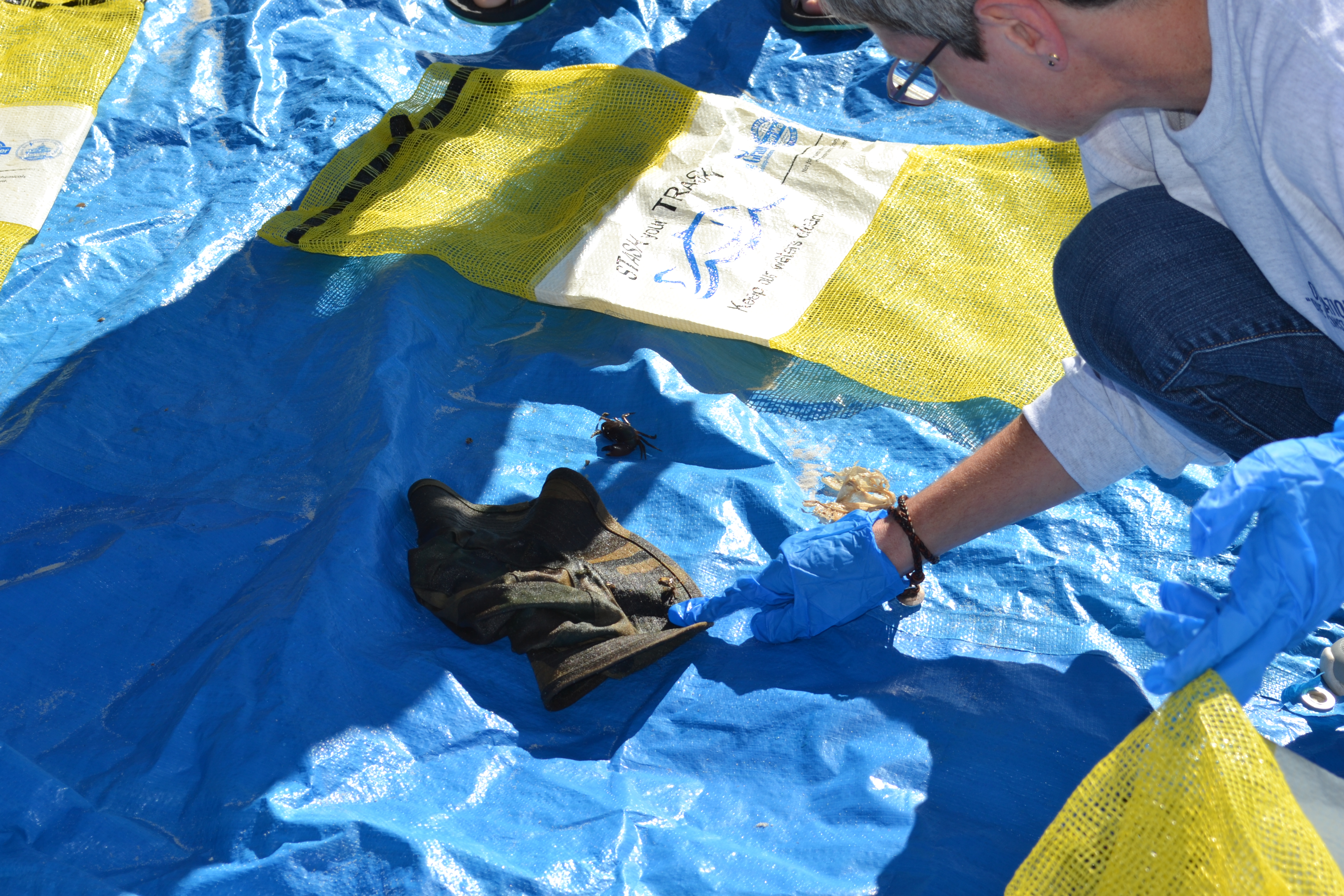
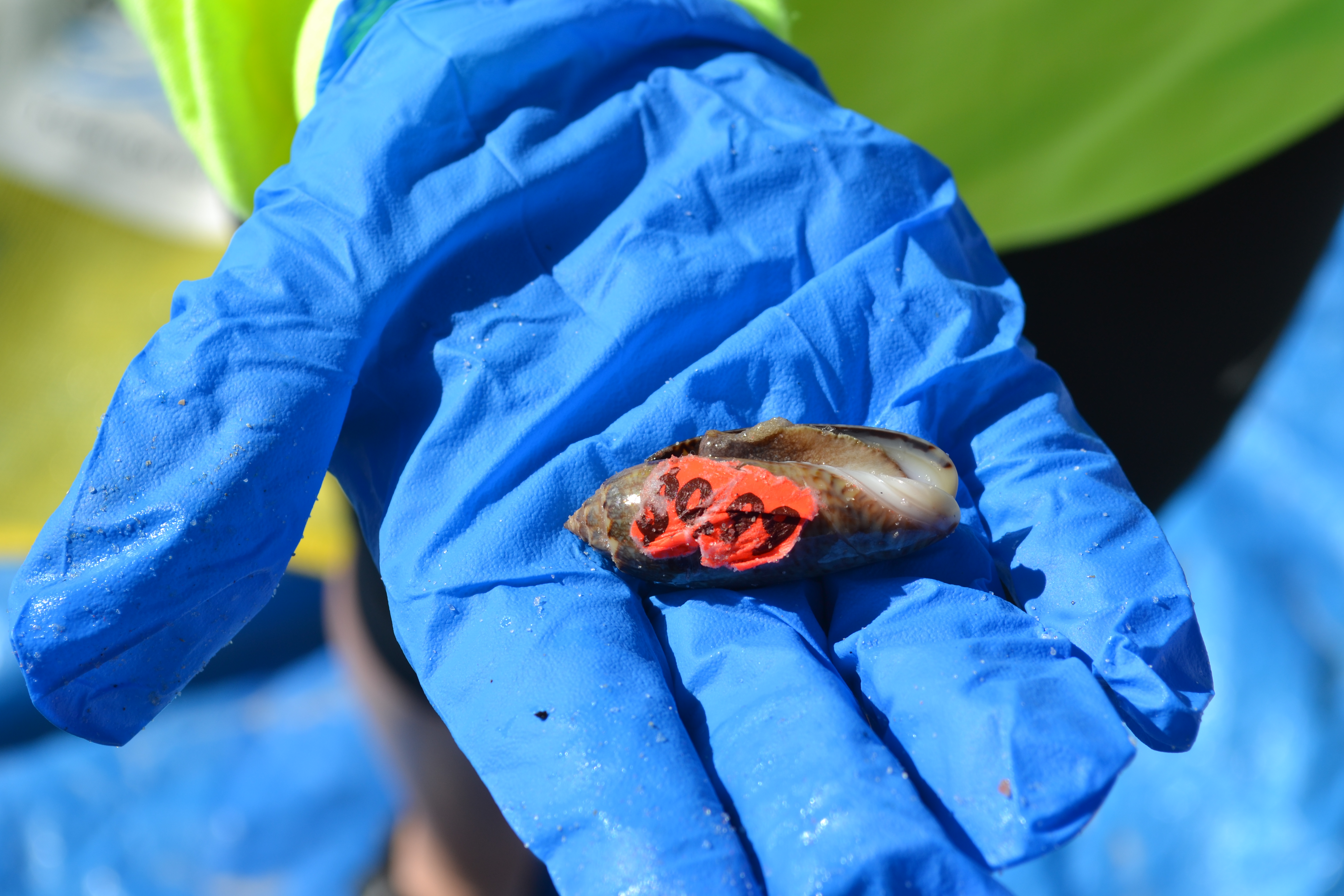
The most unusual item found was a store bought shell that still had a price tag on it. The shell contained a live inhabitant (snail). The price tag was removed and the shell with its inhabitant was returned to the water. Crabs were also discovered in several items. They too were returned to the water unharmed.
Random thunderstorms within the Gulf of Mexico and general area. Winds from the south caused high surf conditions.
City of Gulf Shores
Paul Maliska
1
13
5
1
26
2
11.50
44
22.00
5.00
measured
3
9935.00
Plastic beach toys - Beach toys are routinely left on the beach near the water's edge. Wind, surf, and tides take them out into the water.
Aluminum beer cans - Our beach is a popular spring break and summer vacation location. Many individuals take their drinks out into the water and sometimes sink them when done. Empty cans are also left on the beach which usually end up in the water.
Glass bottles - Glass usually ends up in the water due to individual failing to properly dispose of it.
7
On
pounds
I have debris data to report
Smooth (wavelets) for waves 0.1 - 0.5 meter high
3
ft2
feet
other
7
3
United States
State\Province
Alabama
City
Gulf Shores
Map Help


Dive Location

If you know your survey site coordinates, enter them manually in decimal degrees using WGS84 Map Datum. Use the minus sign for latitudes south of the equator and longitudes west of the Prime Meridian to 180 degrees.

If you do not know your survey site coordinates, click the “Map Location” tab to use the map to zoom into your survey site and drop the pin on the map to fall within your survey dive site in the water (not on land or the beach). Ensure you zoom in as much as possible to ensure data accuracy.

Entangled Help


Use the vertical tabs below to record any entangled animals you found of each type.

Ecosystem Other
No ecosystem in the area

Devil`s Bridge River Lune

9
rock
2
1
1

54.197288963861965, -2.590970993041992

Stretch of water with strong current at times which seems to contribute to keeping the water relatively clean.
Two very clean sheath knives
Showers, mainly good
1
foam mattress
Diveworld
Steven Hird
2
1
3
11
2
2
18
32.00
190
6.00
2.00
1
measured
2400.00
2
golf balls, bad golfers in the area?
metal wire, unknown reason
On
kilograms
I have debris data to report
2
Calm (glassy to rippled) for waves 0 – 0.1 meter high
2
m2
meters
rocky reef
9
1
2
4
2
4
6
1
1
United Kingdom
State\Province
South Yorkshire
City
Sheffield
Map Help


Dive Location

If you know your survey site coordinates, enter them manually in decimal degrees using WGS84 Map Datum. Use the minus sign for latitudes south of the equator and longitudes west of the Prime Meridian to 180 degrees.

If you do not know your survey site coordinates, click the “Map Location” tab to use the map to zoom into your survey site and drop the pin on the map to fall within your survey dive site in the water (not on land or the beach). Ensure you zoom in as much as possible to ensure data accuracy.

Entangled Help


Use the vertical tabs below to record any entangled animals you found of each type.

ADS203 - Desnogorsk

54.153811, 33.252289

sand
2

54.155993237039844, 33.26162304729223

Rainy
CDC Diving Centre Akvanavt
German G Gurskiy
24
1
2
20.00
46
6.50
1.00
estimated
4
200.00
On
kilograms
I have debris data to report
11
Calm (glassy to rippled) for waves 0 – 0.1 meter high m2
meters
seagrass
2
Russia
City
Moscow
Map Help


Dive Location

If you know your survey site coordinates, enter them manually in decimal degrees using WGS84 Map Datum. Use the minus sign for latitudes south of the equator and longitudes west of the Prime Meridian to 180 degrees.

If you do not know your survey site coordinates, click the “Map Location” tab to use the map to zoom into your survey site and drop the pin on the map to fall within your survey dive site in the water (not on land or the beach). Ensure you zoom in as much as possible to ensure data accuracy.

Entangled Help


Use the vertical tabs below to record any entangled animals you found of each type.

Bantigue

34
6
2
sand
1
25

11.345818568870992, 124.1187497600913

Well done to all the participants who are now all Dive Against Debris divers!
Lots of fishing line found in this area, some if it in big clumps of debris.
Paint can
Trapped in a plastic bottle
Windy, as there was a typhoon passing through
Thresher Shark Divers
Amy walton
2
1
10
4
4
2
25.00
50
12.00
3.00
estimated
700.00
Food wrappers
On
kilograms
I have debris data to report
4
Slight for waves 0.5 -1.25 meter high
12
Dead
Box fish
1
Plastic
m2
3
1
meters
rocky reef
2
1
1
1
Philippines
State\Province
Cebu
City
Malapascua Island
Map Help


Dive Location

If you know your survey site coordinates, enter them manually in decimal degrees using WGS84 Map Datum. Use the minus sign for latitudes south of the equator and longitudes west of the Prime Meridian to 180 degrees.

If you do not know your survey site coordinates, click the “Map Location” tab to use the map to zoom into your survey site and drop the pin on the map to fall within your survey dive site in the water (not on land or the beach). Ensure you zoom in as much as possible to ensure data accuracy.

Entangled Help


Use the vertical tabs below to record any entangled animals you found of each type.

ADS128 - Patent Slip Cog Park

6
23
3
silt
3
3

-41.30474420107435, 174.80210406705737

Changing winds, 15 knots
1
1
5
1
2
power cord
sail baton
Golfballs
screwdriver
plastic coathangers
Dive & Ski HQ
Claire Murphy
6
1
5
2
-2
16.00
36
8.00
1.00
measured
1
1
4431.22
1
On
kilograms
I have debris data to report
22
Smooth (wavelets) for waves 0.1 - 0.5 meter high
2
2
m2
3
meters
other
3
1
2
16
6
New Zealand
City
Wellington
Map Help


Dive Location

If you know your survey site coordinates, enter them manually in decimal degrees using WGS84 Map Datum. Use the minus sign for latitudes south of the equator and longitudes west of the Prime Meridian to 180 degrees.

If you do not know your survey site coordinates, click the “Map Location” tab to use the map to zoom into your survey site and drop the pin on the map to fall within your survey dive site in the water (not on land or the beach). Ensure you zoom in as much as possible to ensure data accuracy.

Entangled Help


Use the vertical tabs below to record any entangled animals you found of each type.

Ecosystem Other
silty with old wharf structure

Yokohama Beach Park

sand
1
1

21.552267675109256, -158.2505391605082

Winds from the east at 10 to 15 knots and a moderate size swell from the Northwest
Matthew Williams
1
2
1.00
60
30.00
10.00
estimated
1
37933.00
On
pounds
I have debris data to report
Smooth (wavelets) for waves 0.1 - 0.5 meter high ft2
feet
coral reef
United States
State\Province
Hawaii
City
Makaha
Map Help


Dive Location

If you know your survey site coordinates, enter them manually in decimal degrees using WGS84 Map Datum. Use the minus sign for latitudes south of the equator and longitudes west of the Prime Meridian to 180 degrees.

If you do not know your survey site coordinates, click the “Map Location” tab to use the map to zoom into your survey site and drop the pin on the map to fall within your survey dive site in the water (not on land or the beach). Ensure you zoom in as much as possible to ensure data accuracy.

Entangled Help


Use the vertical tabs below to record any entangled animals you found of each type.

ADS135 - Vobster Quay

51.246132, -2.424794

rock
2
Large metal cable
Very cold but dry conditions
Ocean turtle diving
Lauren saunders
2
1.10
25
12.00
4.00
estimated
3066.04
Car parts due to being sharp and rusty
Plastic bags
Porcelain parts
1
On
pounds
I have debris data to report
Calm (glassy to rippled) for waves 0 – 0.1 meter high m2
meters
other
3
1
1
United Kingdom
State\Province
Hampshire
City
Basingstoke
Map Help


Dive Location

If you know your survey site coordinates, enter them manually in decimal degrees using WGS84 Map Datum. Use the minus sign for latitudes south of the equator and longitudes west of the Prime Meridian to 180 degrees.

If you do not know your survey site coordinates, click the “Map Location” tab to use the map to zoom into your survey site and drop the pin on the map to fall within your survey dive site in the water (not on land or the beach). Ensure you zoom in as much as possible to ensure data accuracy.

Entangled Help


Use the vertical tabs below to record any entangled animals you found of each type.

Ecosystem Other
Rocky and fresh water

Ekenäs gästhamn

2

59.97695181068717, 23.431775271892548

1
silt

59.97695181068717, 23.431775271892548

3
1
Bike
Cement weight
Piraya
Ann-Christine Forsell
1
15
28
500.00
120
5.00
0.50
1
estimated
24000.00
6
On
kilograms
I have debris data to report
83
2
Smooth (wavelets) for waves 0.1 - 0.5 meter high
5
2
m2
1
meters
seagrass
1
1
3
91
2
2
Finland
State\Province
Nyland
City
Ekenäs
Map Help


Dive Location

If you know your survey site coordinates, enter them manually in decimal degrees using WGS84 Map Datum. Use the minus sign for latitudes south of the equator and longitudes west of the Prime Meridian to 180 degrees.

If you do not know your survey site coordinates, click the “Map Location” tab to use the map to zoom into your survey site and drop the pin on the map to fall within your survey dive site in the water (not on land or the beach). Ensure you zoom in as much as possible to ensure data accuracy.

Entangled Help


Use the vertical tabs below to record any entangled animals you found of each type.

Heisler Park

8

33.54289, -117.793874

sand
3

33.54457074483, -117.79421657324

n/a
This is our first dive for debris at this location, so seems we are starting slow, but felt great to pull trash from the ocean and the 22 divers there were a wonderful group to work with. We are looking to do more dives in future. Your website has been extremely helpful with providing guidelines and how tos, Thank you .
33 gallon trash can
slightly colder and current slightly stronger.
1
1
2
beach chair
trash can
paint chips
Scuba Center Temecula
Ursula Darlington
1
6
1
1
22
7
1
1
4
1
100.00
60
40.00
20.00
estimated
1
3504.66
fishing cages they are left behind
3
On
pounds
I have debris data to report
1
Smooth (wavelets) for waves 0.1 - 0.5 meter high
1
0
6
ft2
5
feet
rocky reef
1
1
1
1
5
1
4
4
1
United States
State\Province
ca
City
Temecula
Map Help


Dive Location

If you know your survey site coordinates, enter them manually in decimal degrees using WGS84 Map Datum. Use the minus sign for latitudes south of the equator and longitudes west of the Prime Meridian to 180 degrees.

If you do not know your survey site coordinates, click the “Map Location” tab to use the map to zoom into your survey site and drop the pin on the map to fall within your survey dive site in the water (not on land or the beach). Ensure you zoom in as much as possible to ensure data accuracy.

Entangled Help


Use the vertical tabs below to record any entangled animals you found of each type.

ADS82 - Moc-Che

1
sand

20.634245160527257, -87.05673761665821

Aluminium foil wrapper
Very calm
2
Aluminium Foil wrapper
SCUBACARIBE
Pedro Ambrosi
6
1
7
0.50
45
12.00
7.00
estimated
50.00
On
kilograms
I have debris data to report
1
Calm (glassy to rippled) for waves 0 – 0.1 meter high m2
meters
coral reef
2
Mexico
State\Province
Quintana Roo
City
Playa del Carmen
Map Help


Dive Location

If you know your survey site coordinates, enter them manually in decimal degrees using WGS84 Map Datum. Use the minus sign for latitudes south of the equator and longitudes west of the Prime Meridian to 180 degrees.

If you do not know your survey site coordinates, click the “Map Location” tab to use the map to zoom into your survey site and drop the pin on the map to fall within your survey dive site in the water (not on land or the beach). Ensure you zoom in as much as possible to ensure data accuracy.

Entangled Help


Use the vertical tabs below to record any entangled animals you found of each type.

Subscribe to