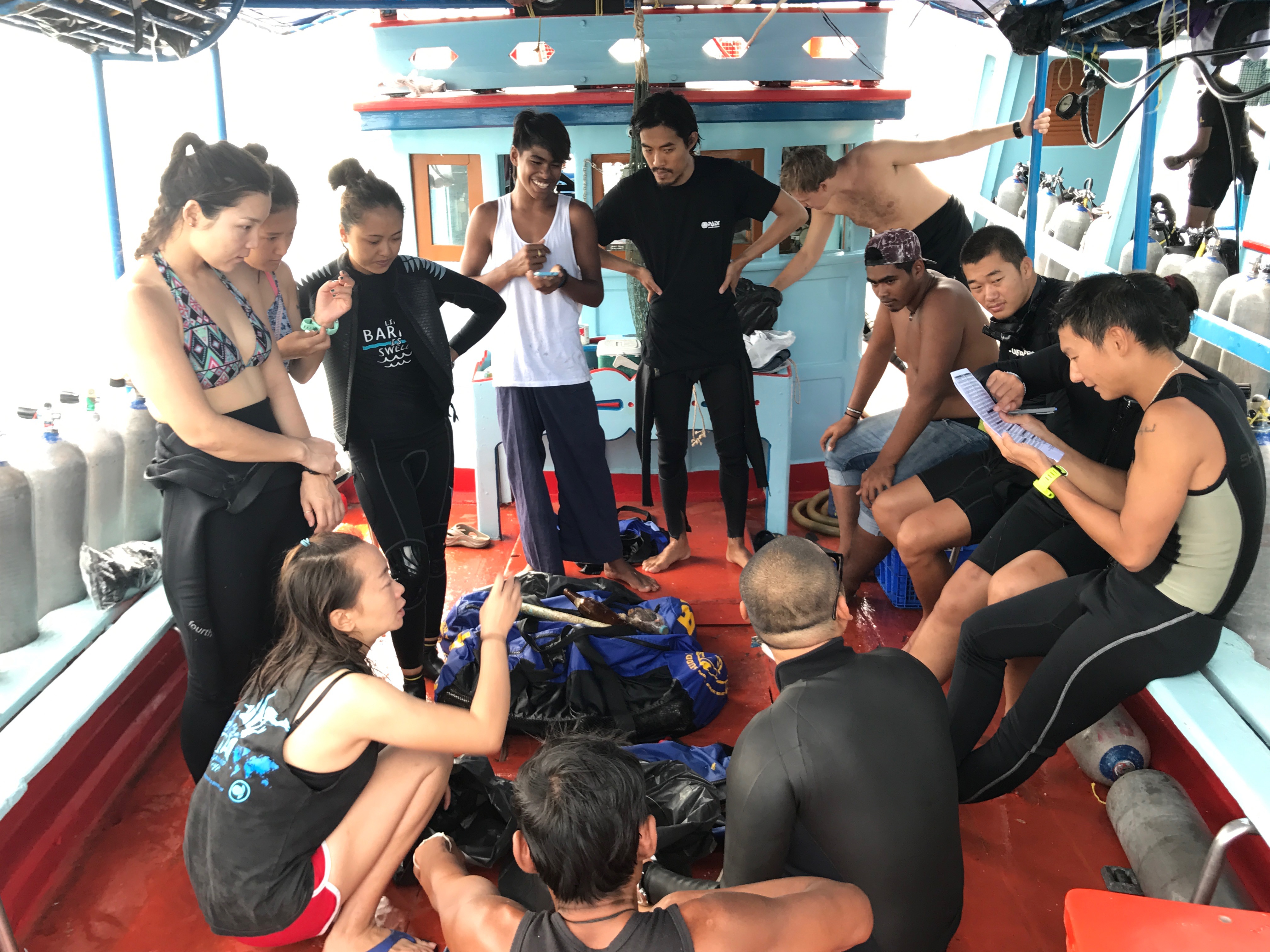
ADS88 - Dive Bus House Reef
14
12.088975, -68.9051749999999
200
Local fishermen as usual, local people that are not educated enough at school and at home regarding throwing rubbish on the floor, at the beach, in the sea.
Us humans are the cause of it.
Us humans are the cause of it.
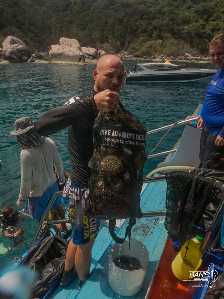
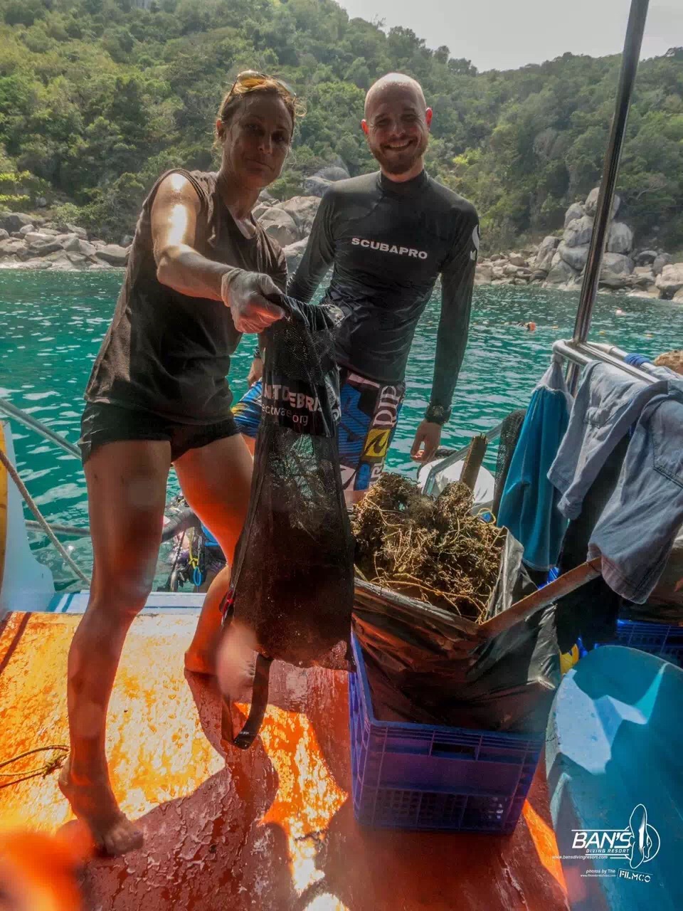
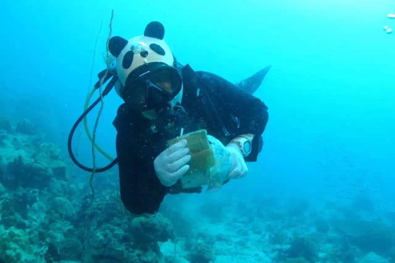
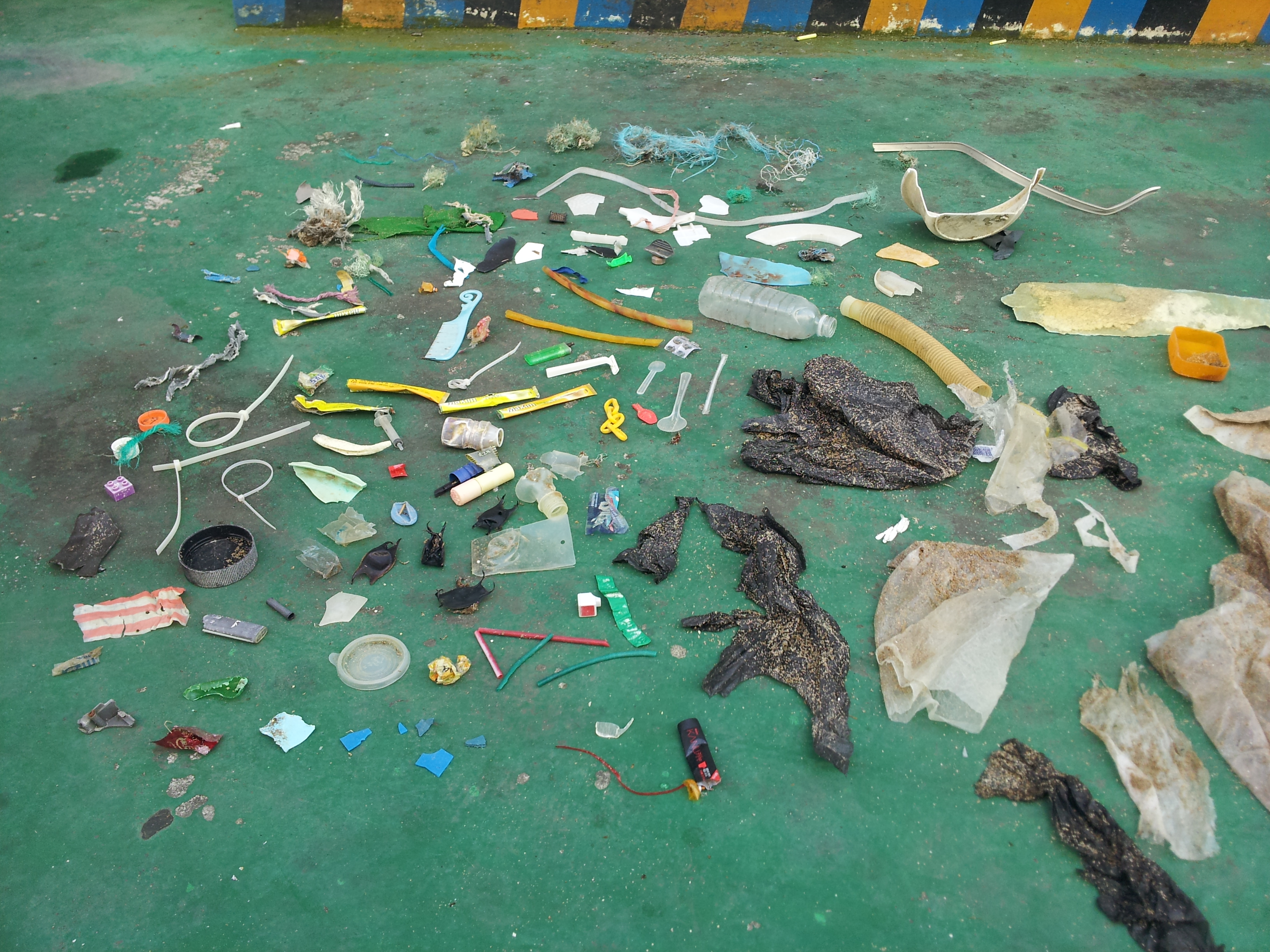
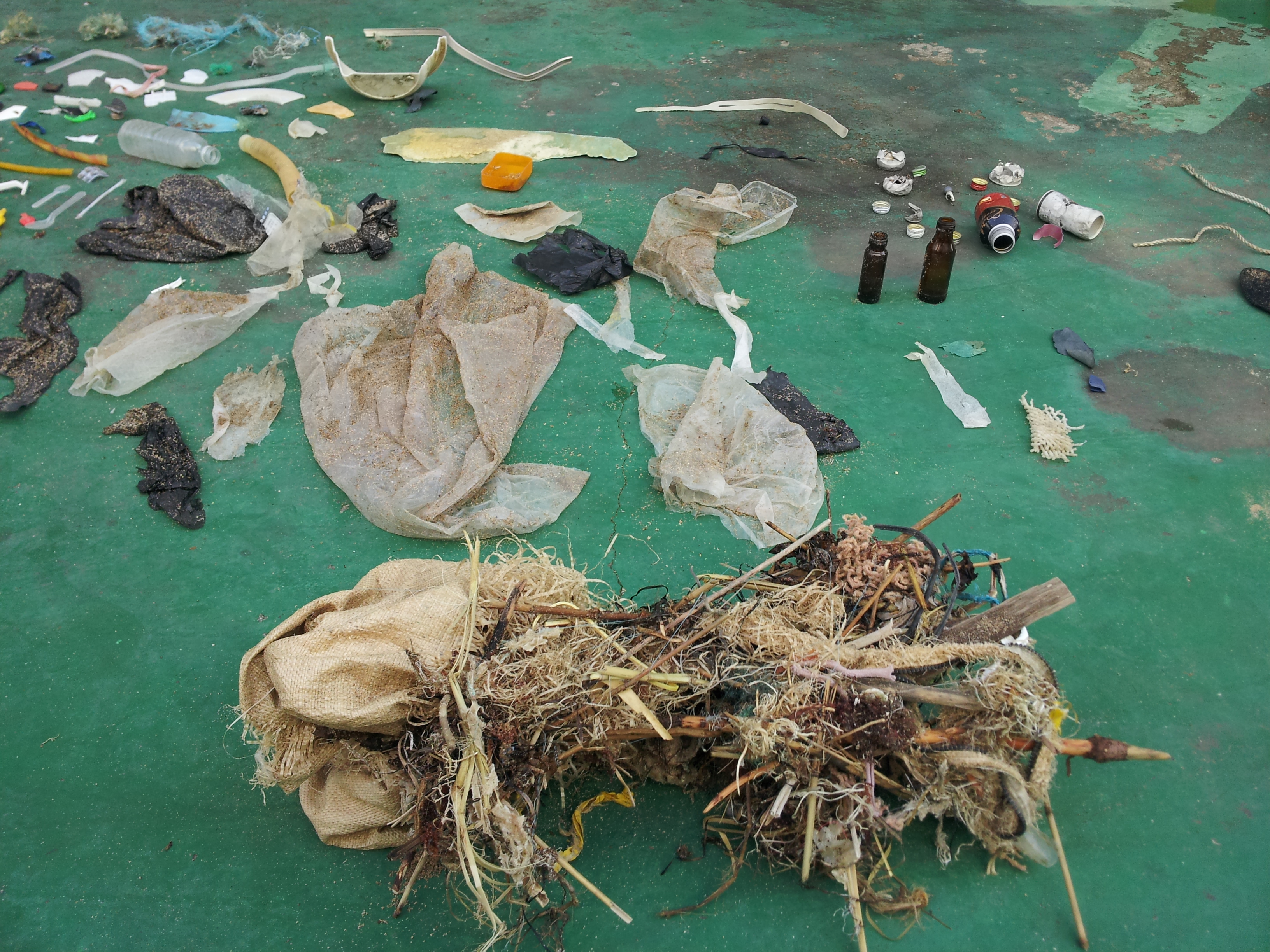
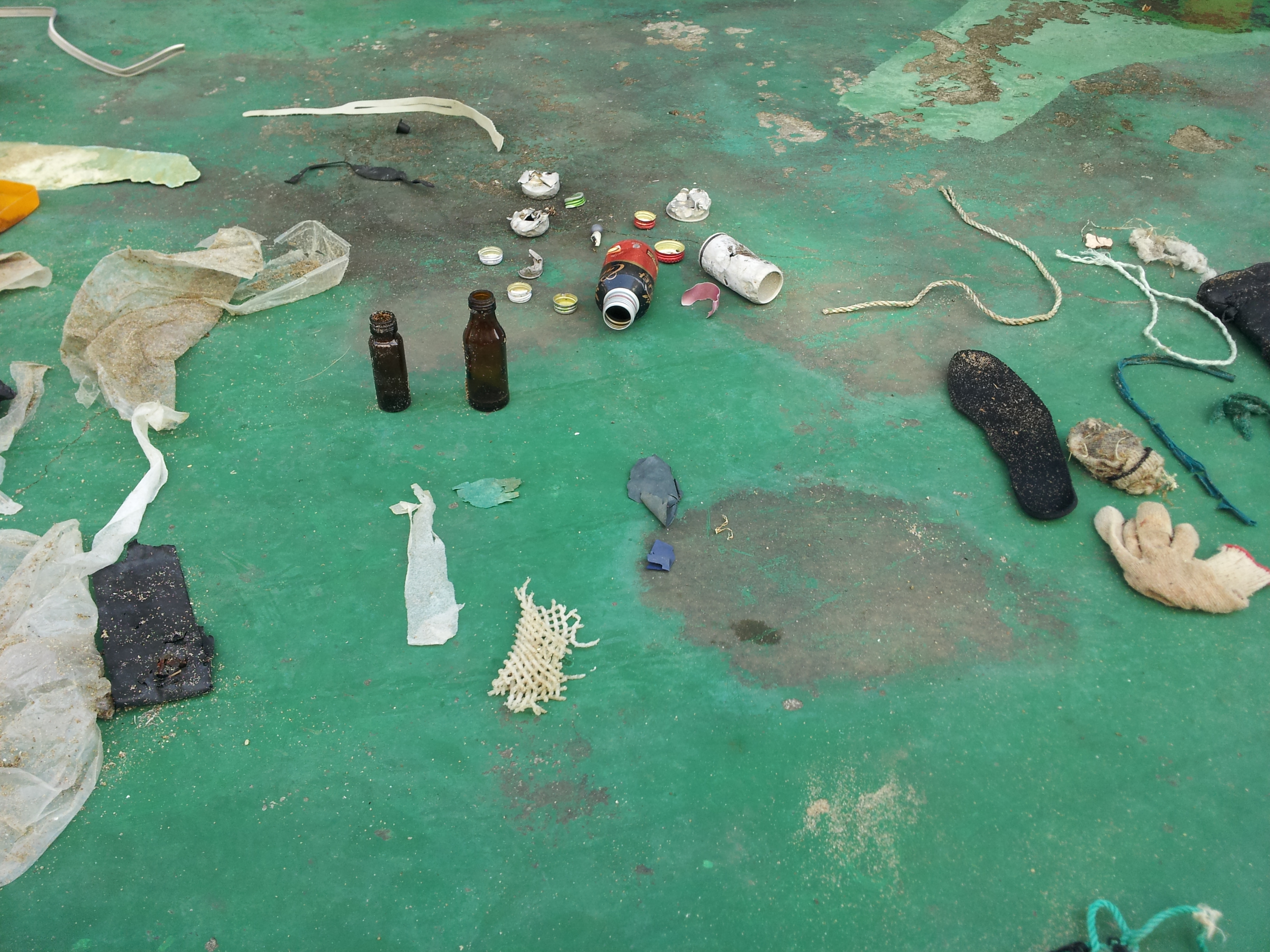
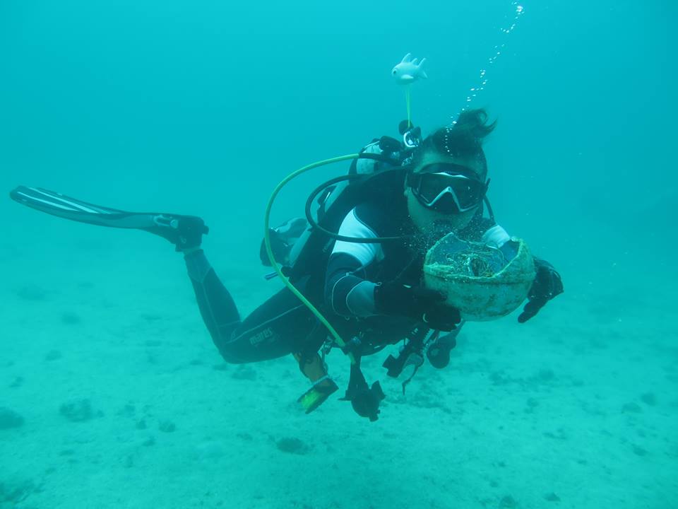
I have noticed that our house reef is getting cleaner every month however there is still so much to do
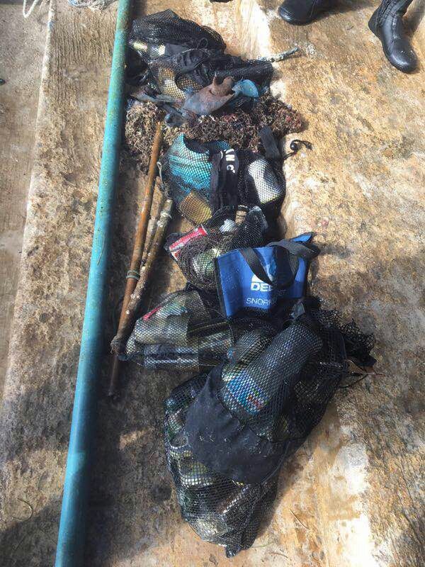
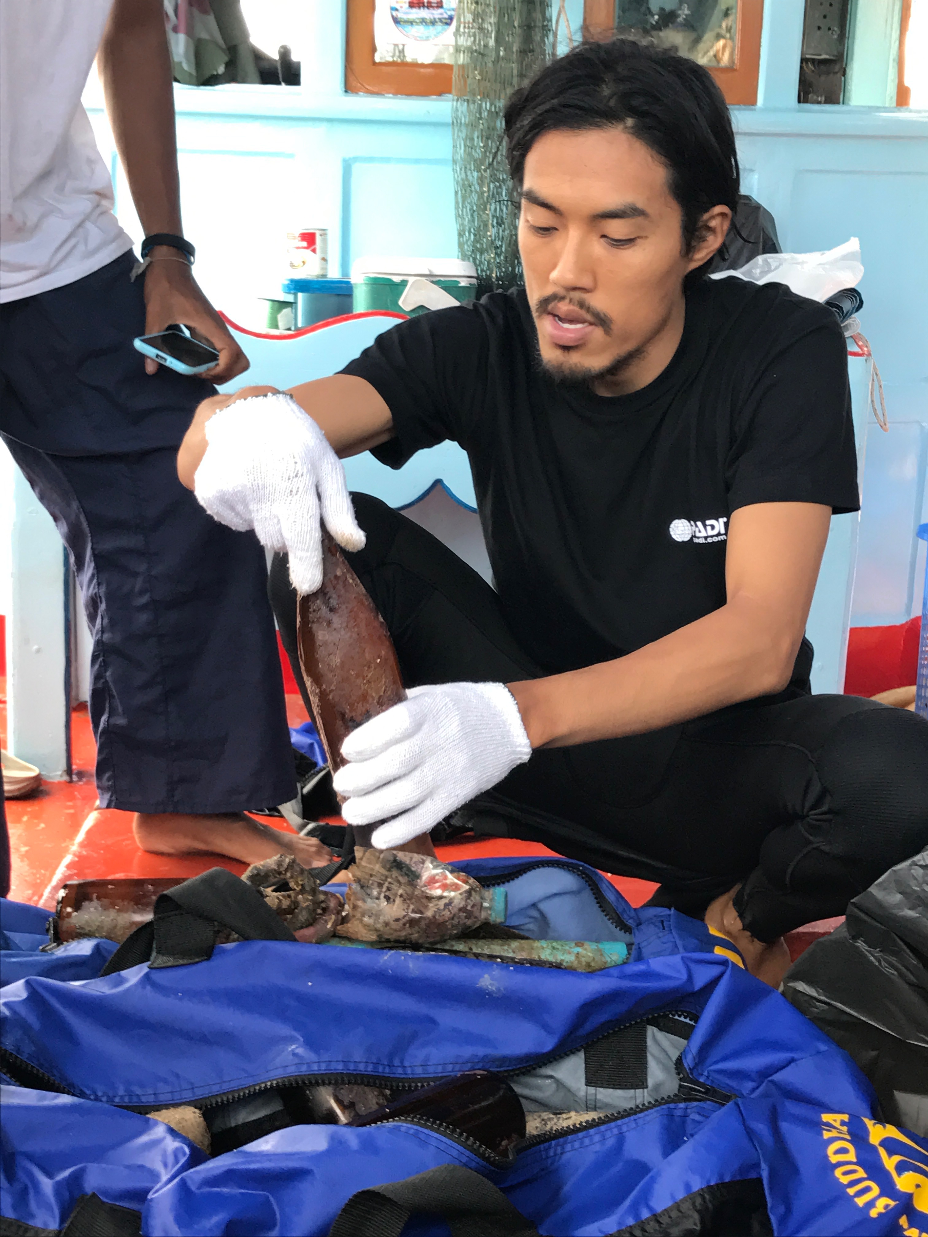
One liv bag
rainy
1
2
3
liv bag
plastic hair clip
cloth hairband
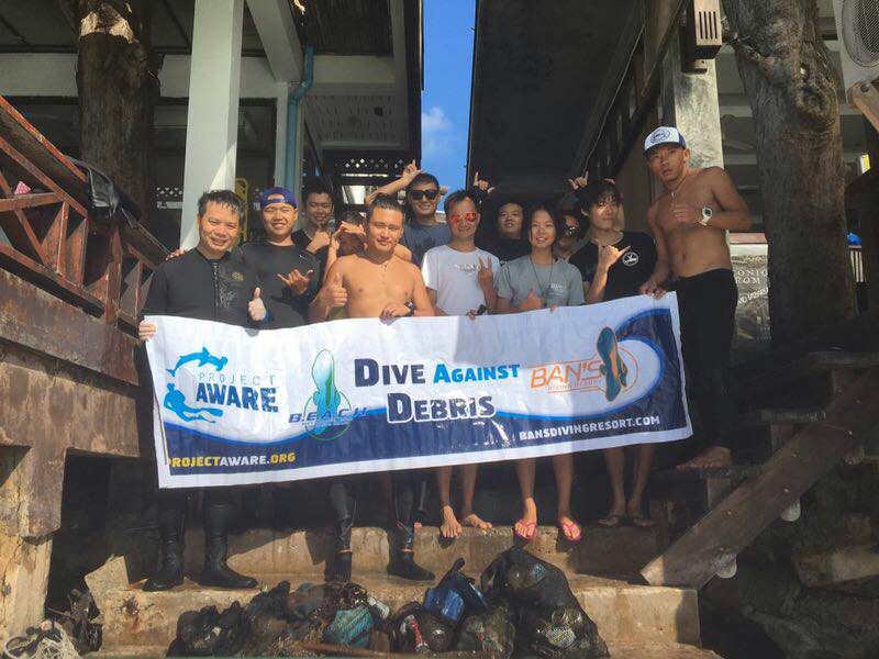
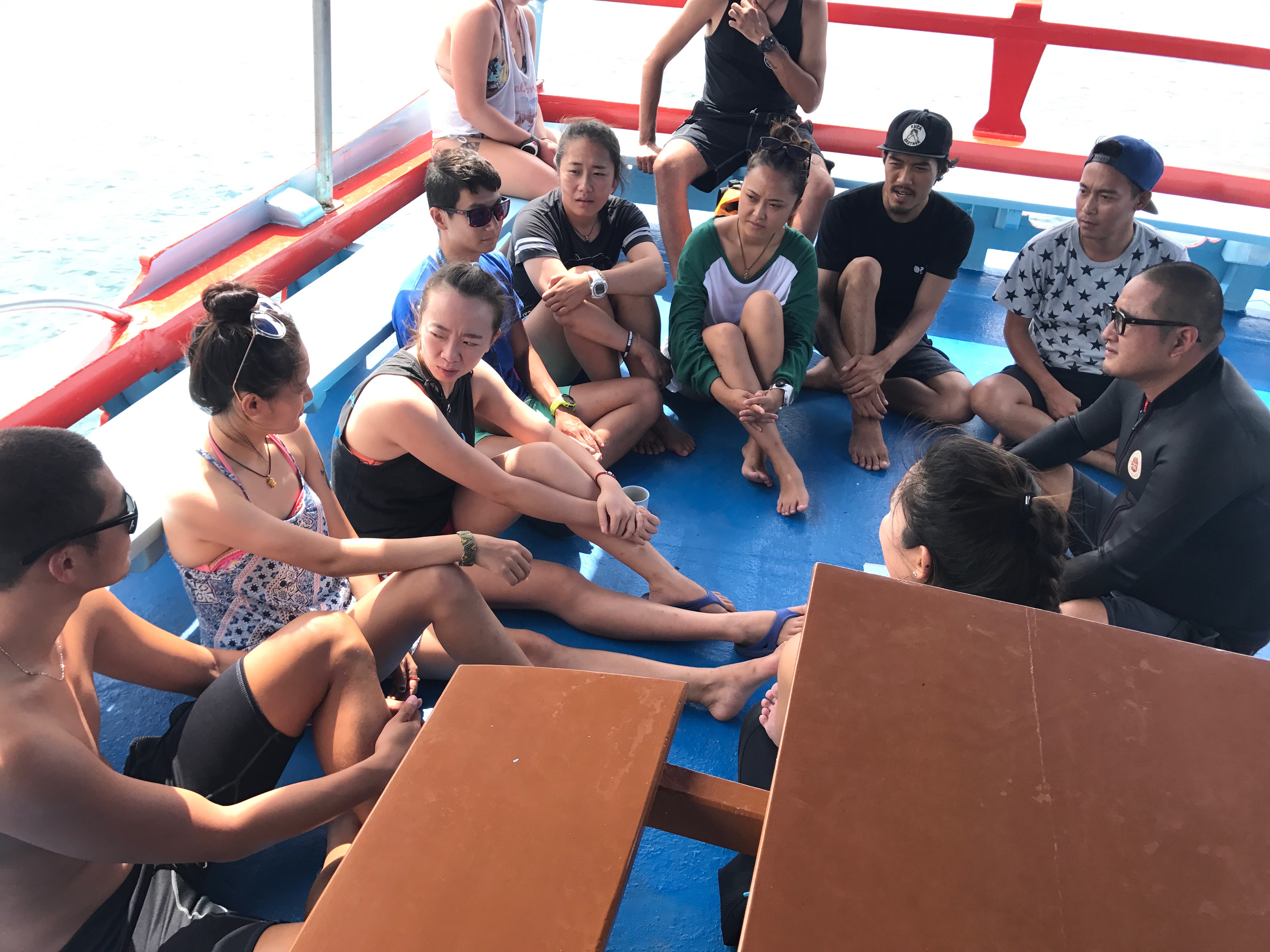
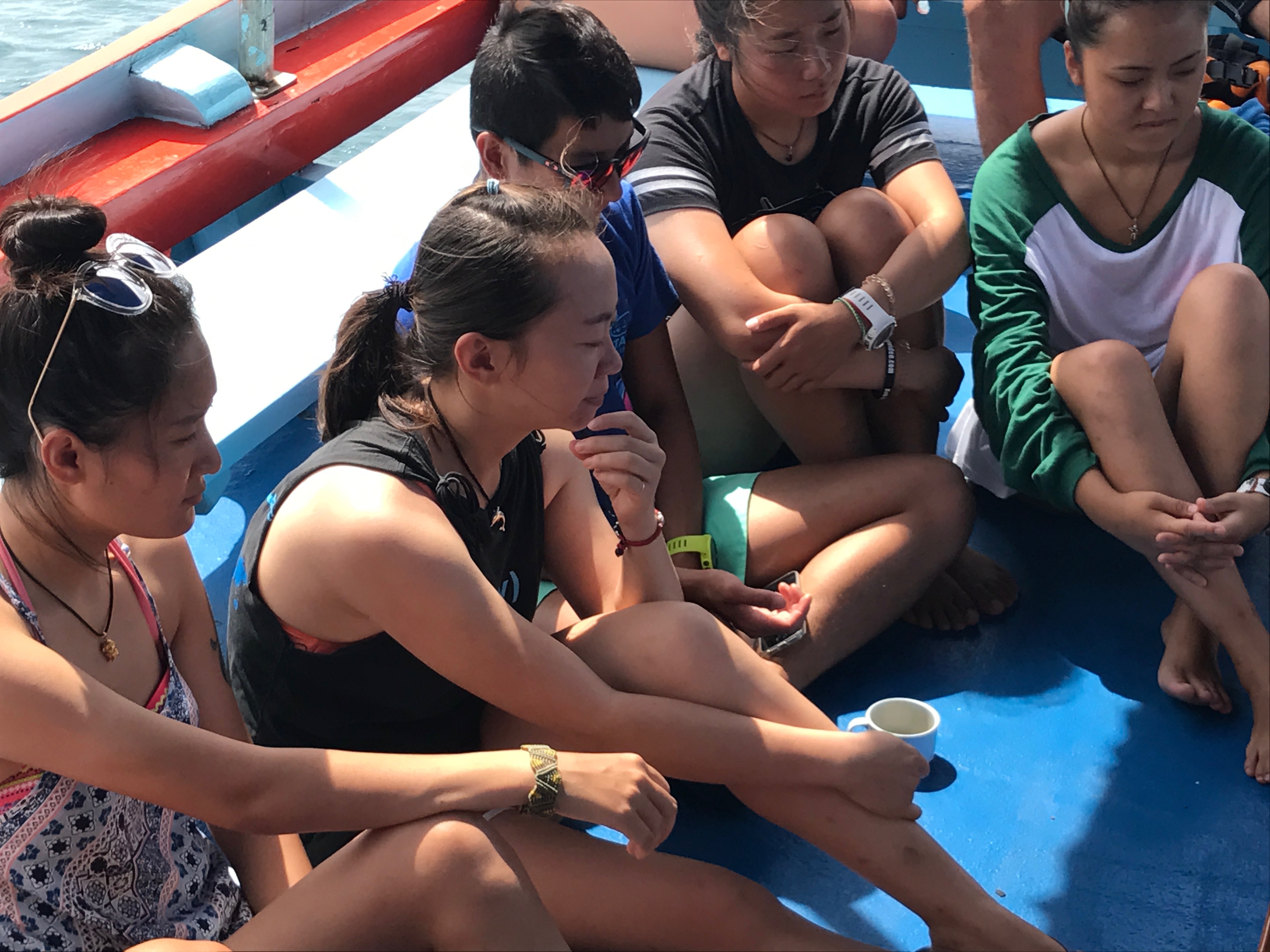
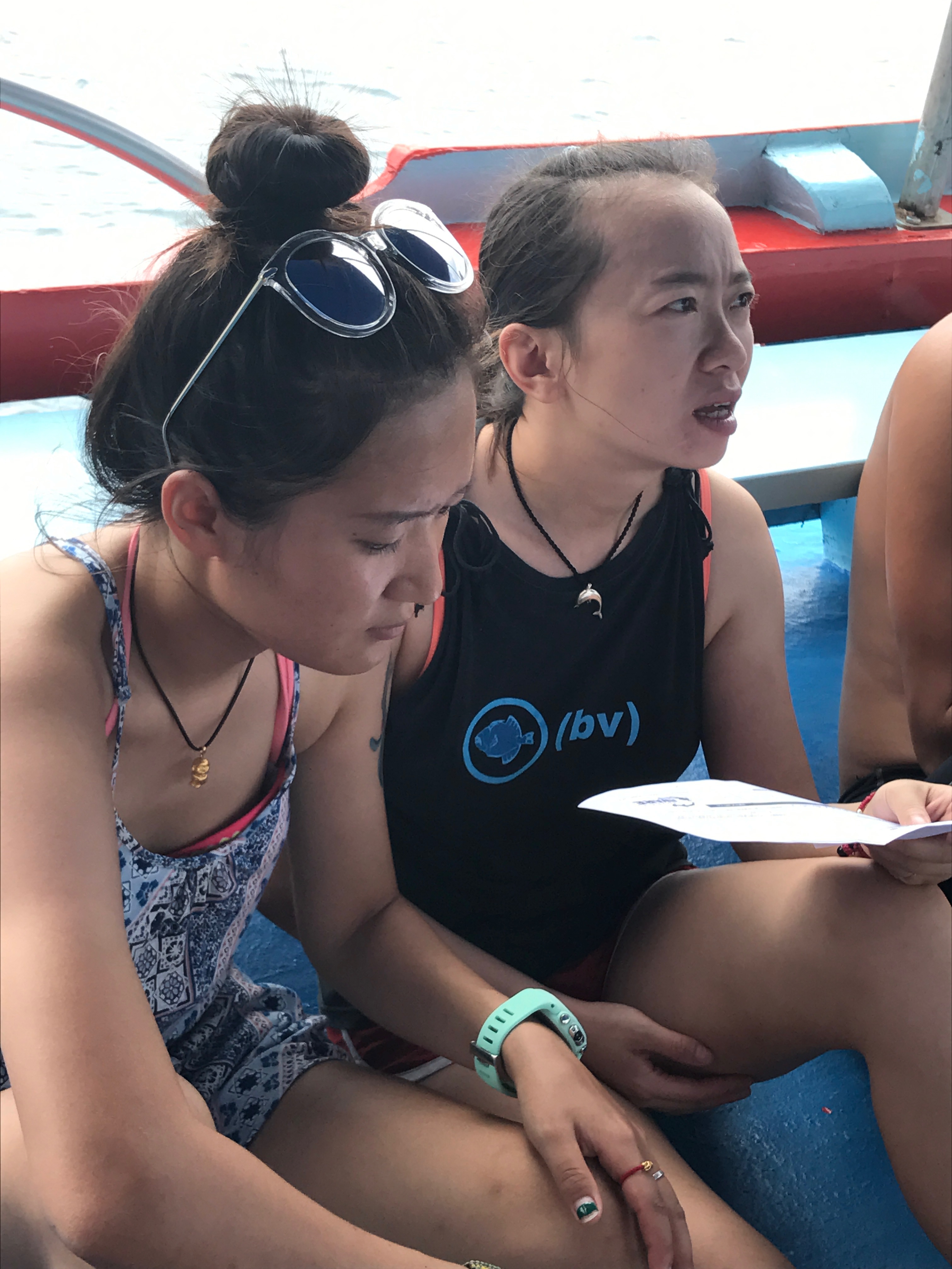
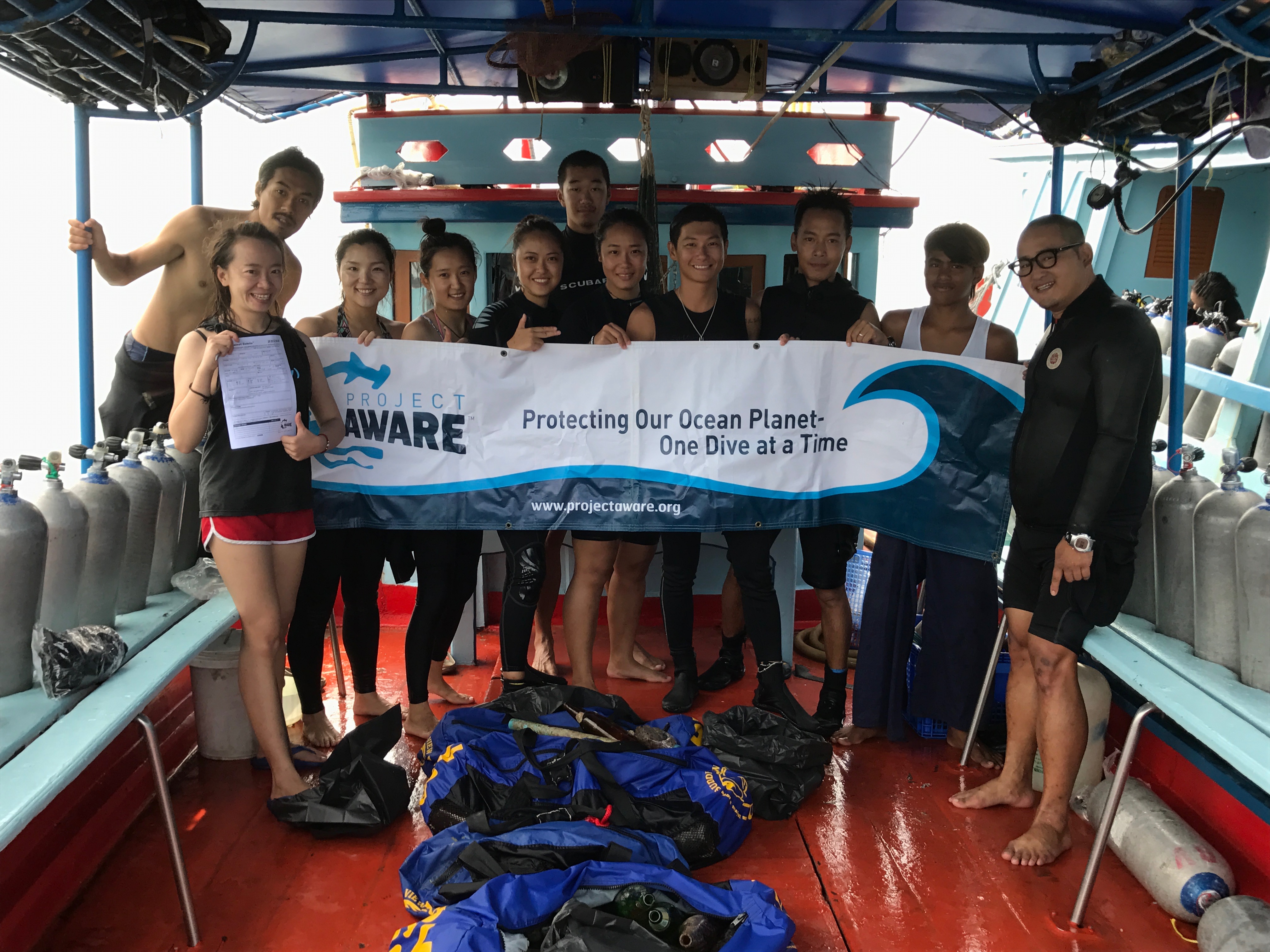
The Dive Bus
Ivana C Stampeggi 356300
2
11
2
9
7
22
11
32.00
57
18.00
4.00
measured
26
2000.00
1
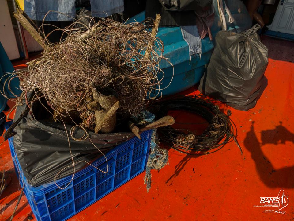
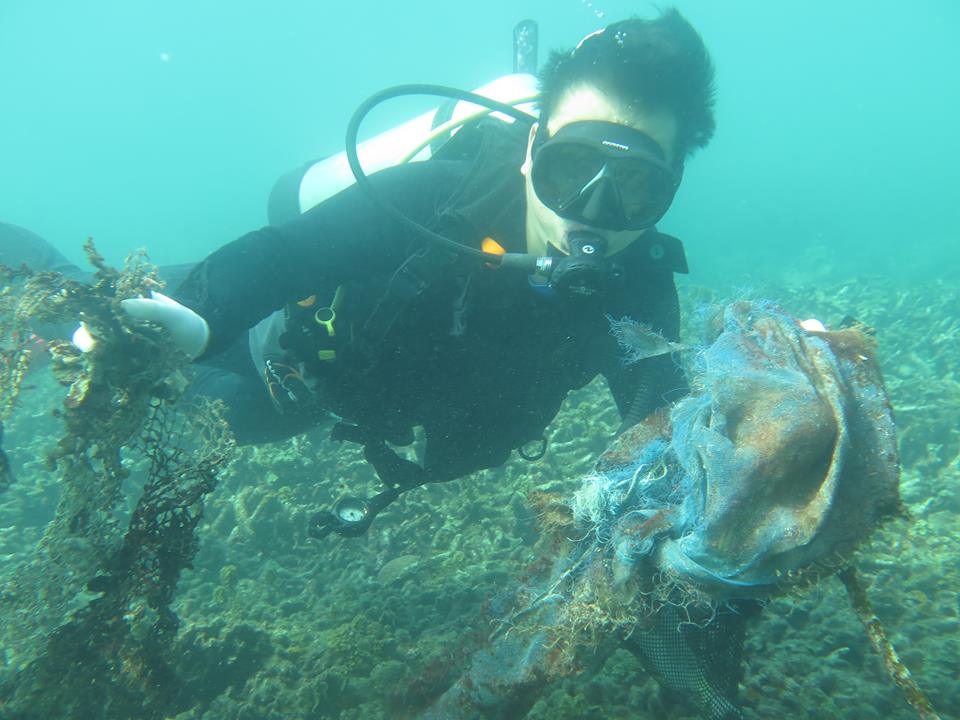
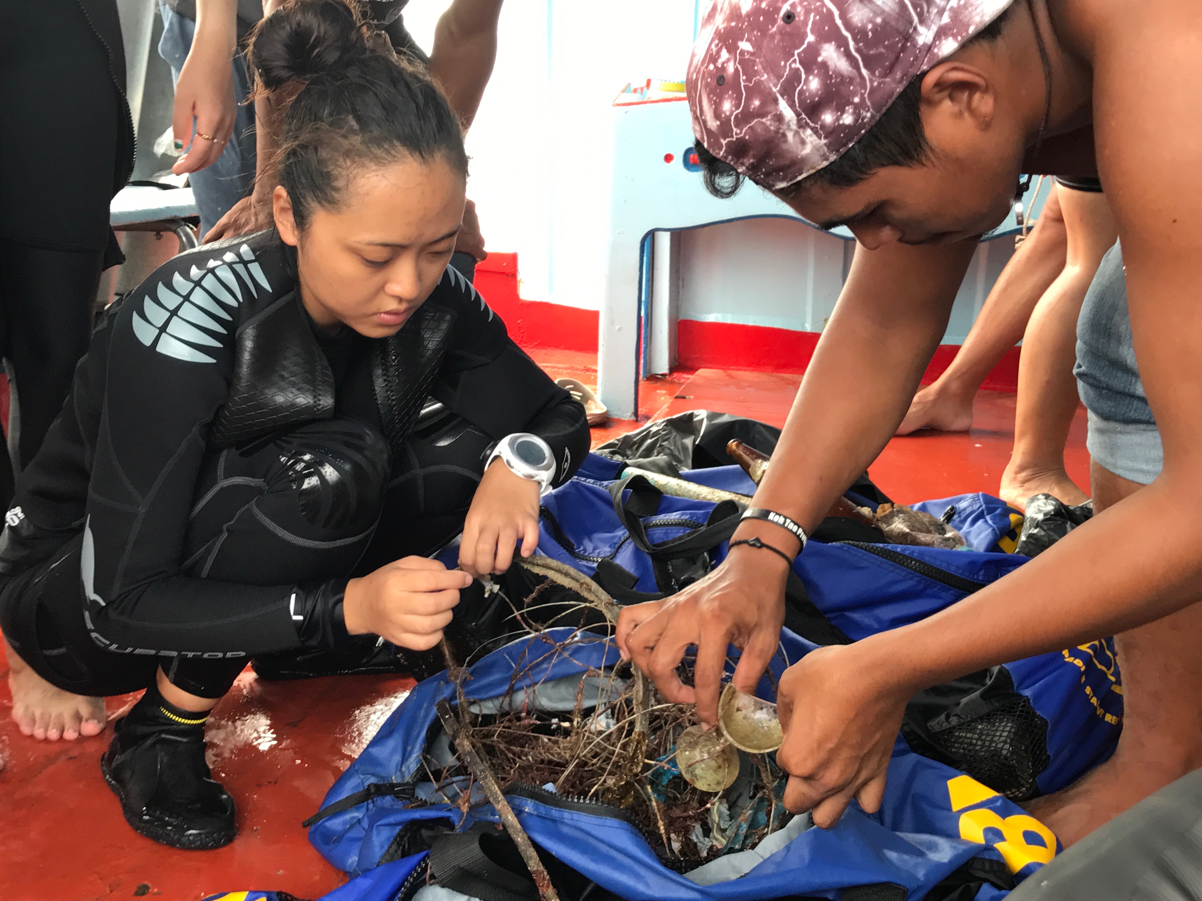
fishing line
lead
plastic
On
kilograms
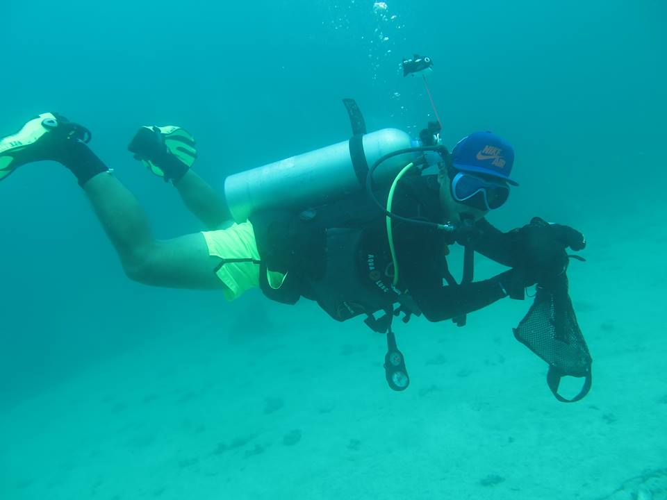
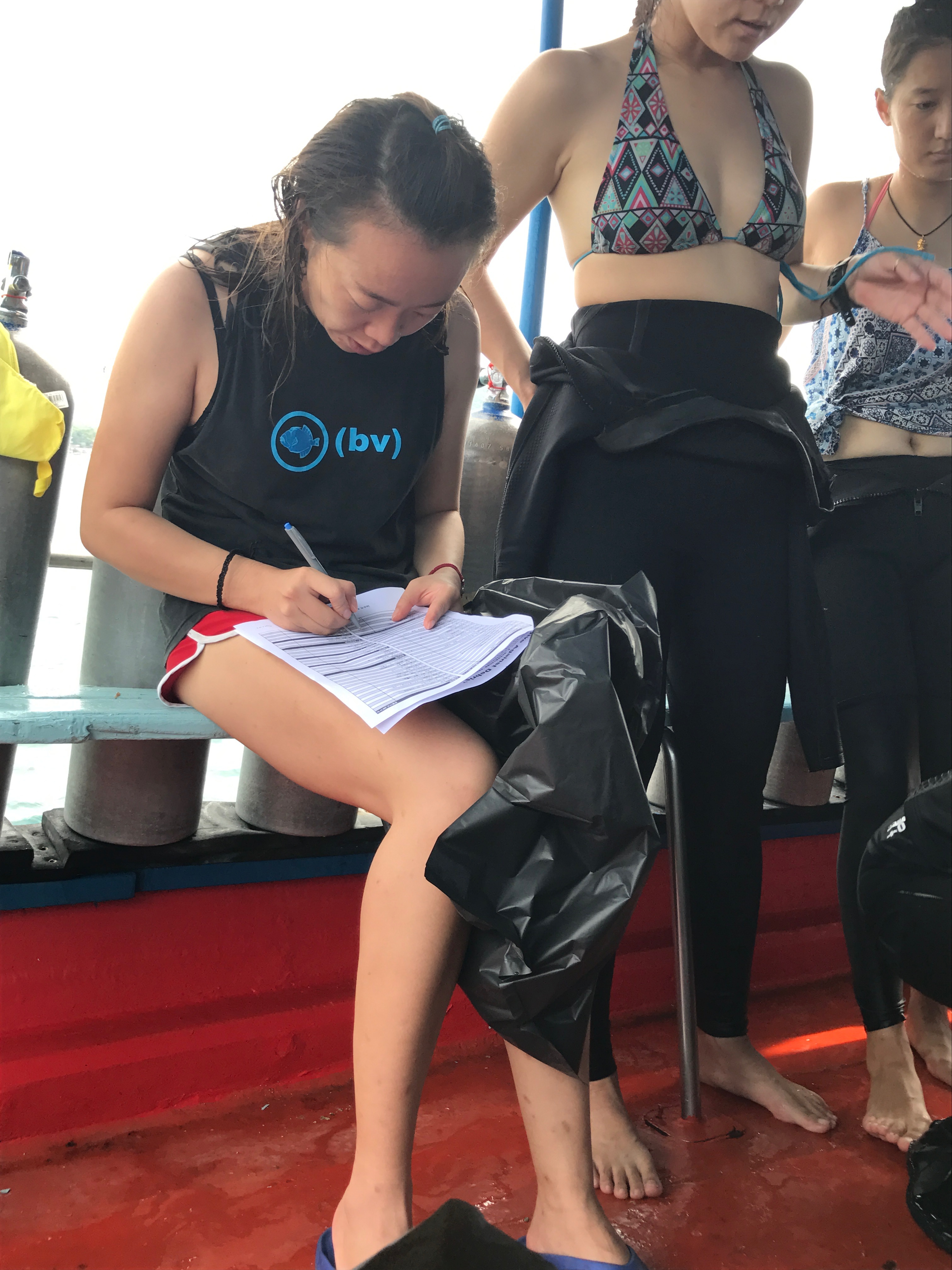
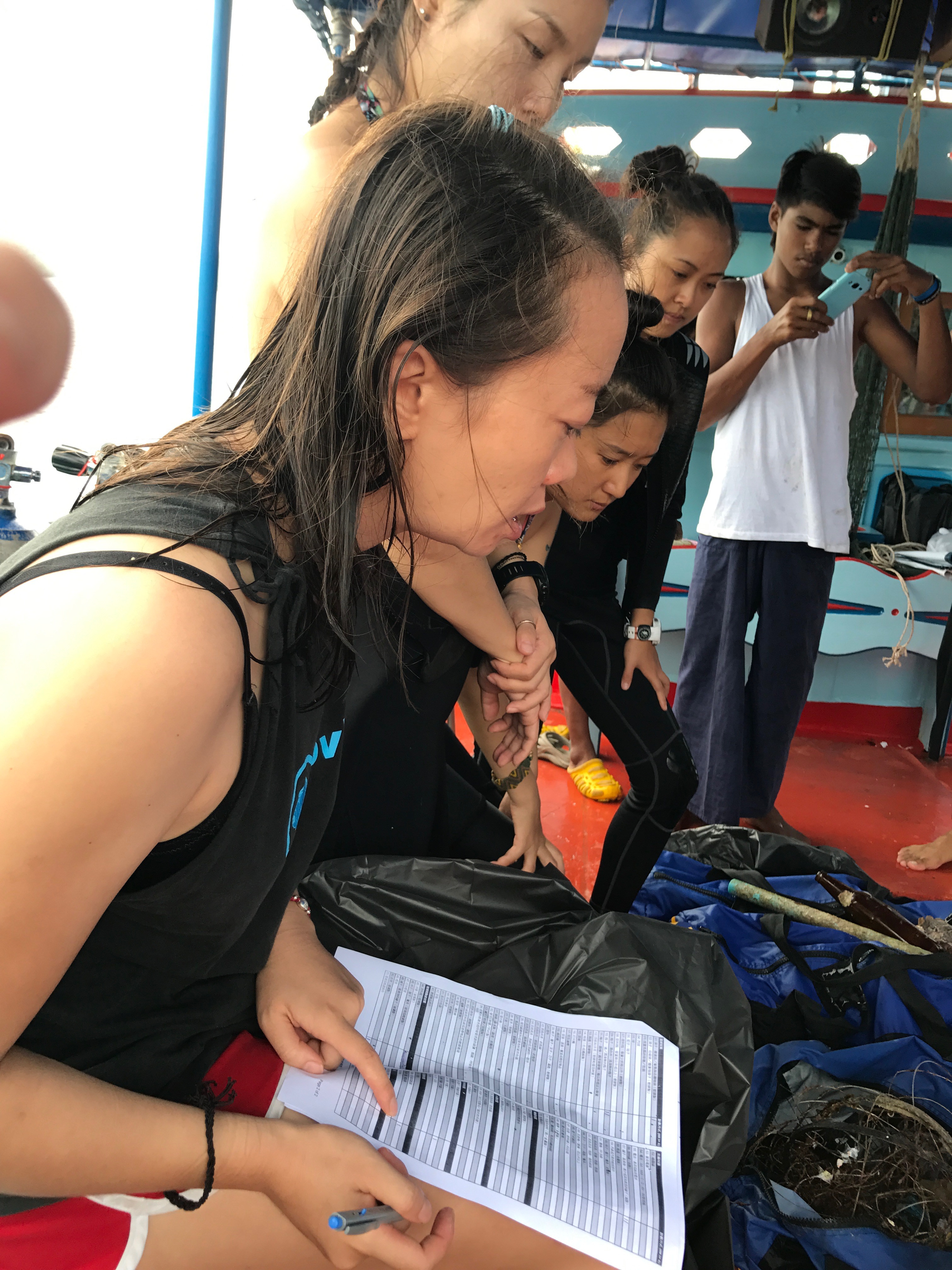
I have debris data to report
42
Calm (glassy to rippled) for waves 0 – 0.1 meter high
1
11
m2


meters
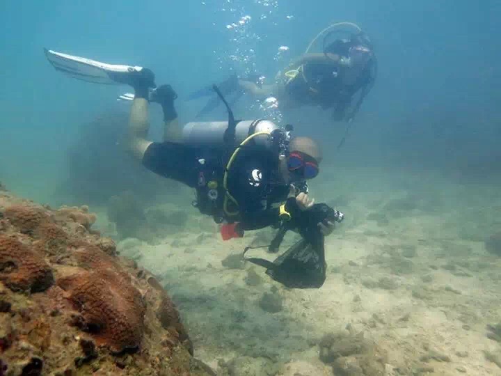
coral reef
1
3
47
16
1
State\Province
Curacao
City
Curacao
Map Help
Dive Location
If you know your survey site coordinates, enter them manually in decimal degrees using WGS84 Map Datum. Use the minus sign for latitudes south of the equator and longitudes west of the Prime Meridian to 180 degrees.
If you do not know your survey site coordinates, click the “Map Location” tab to use the map to zoom into your survey site and drop the pin on the map to fall within your survey dive site in the water (not on land or the beach). Ensure you zoom in as much as possible to ensure data accuracy.
Entangled Help