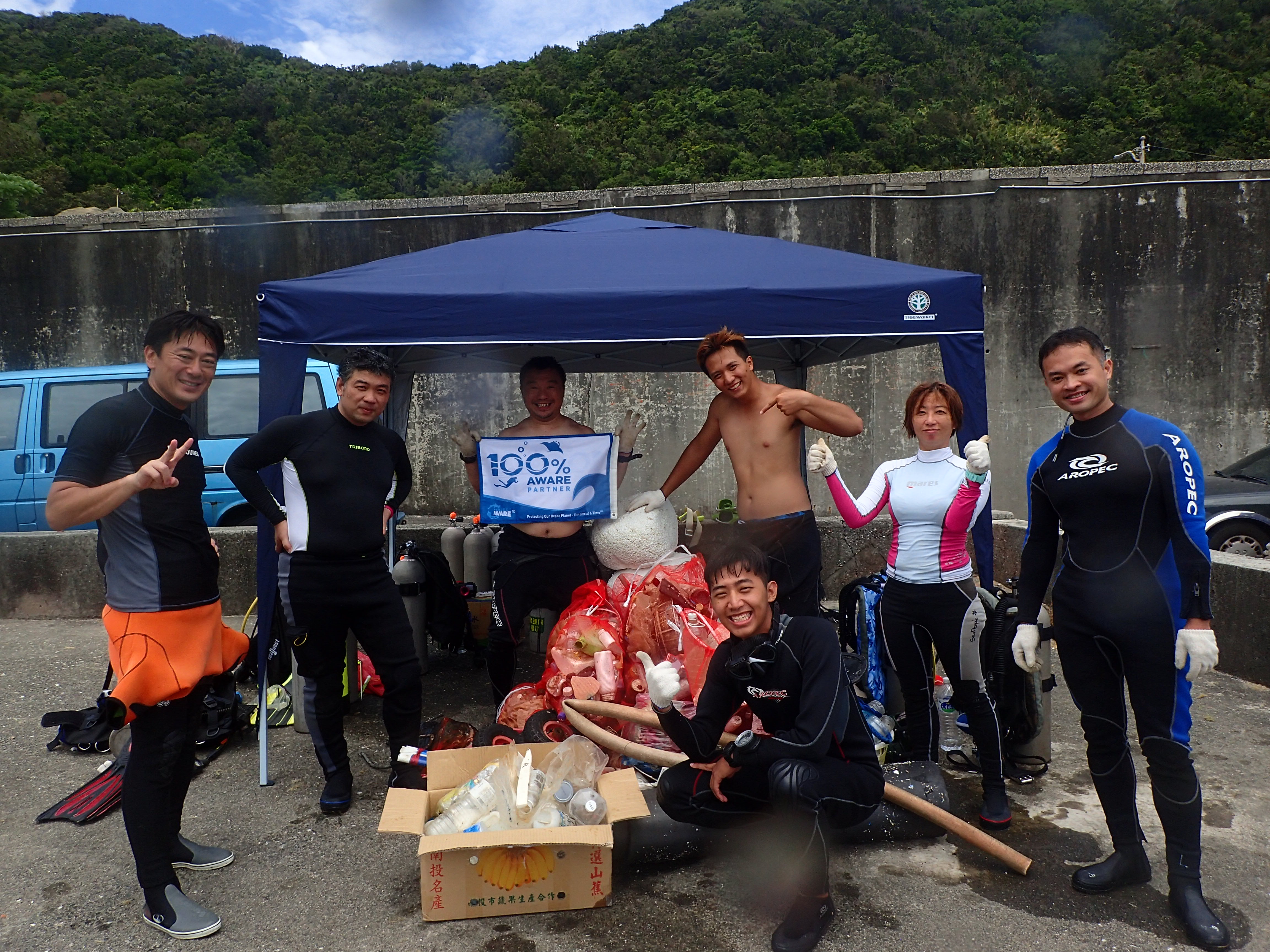
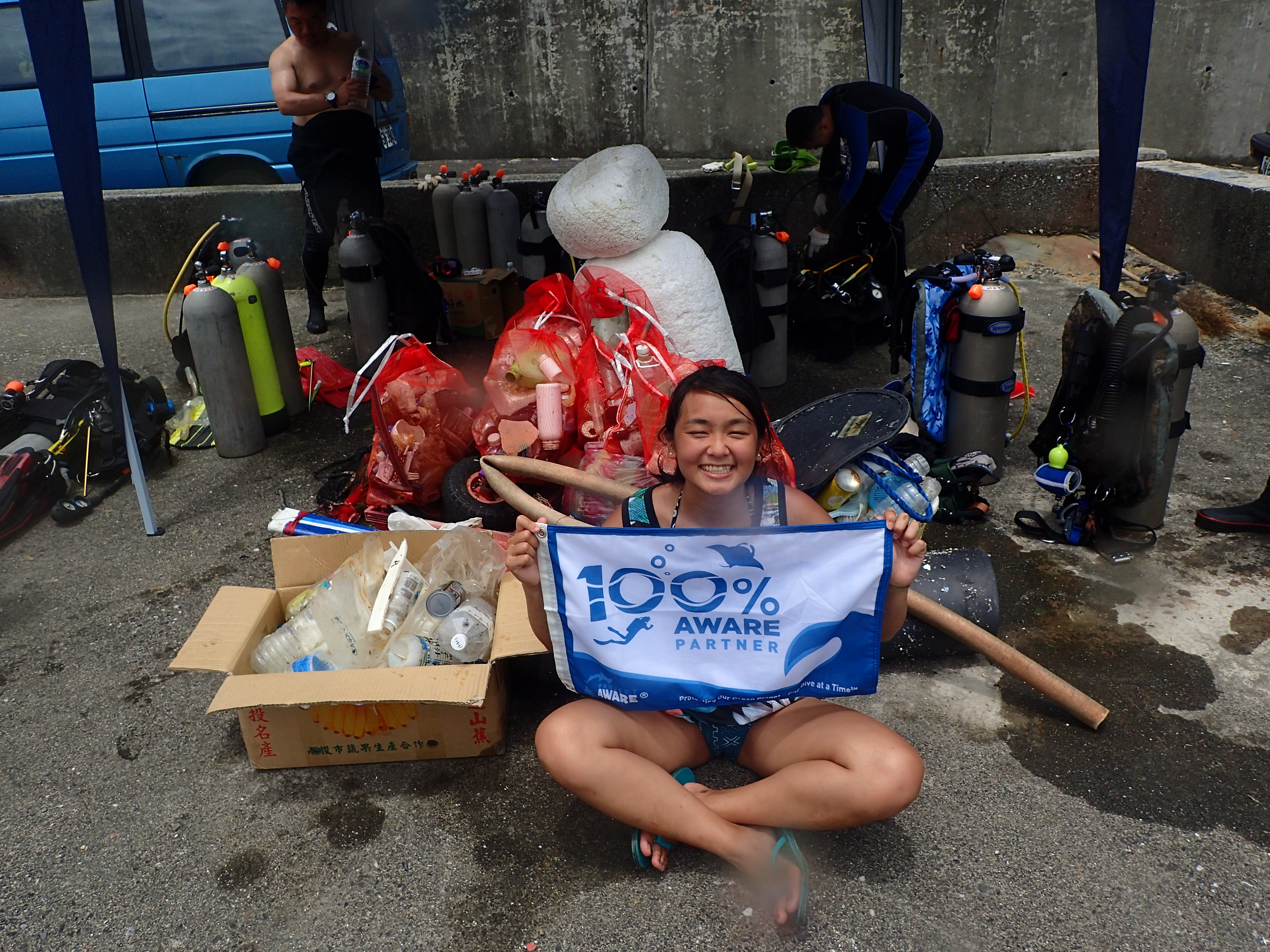
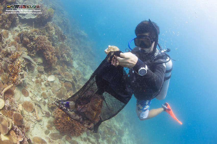
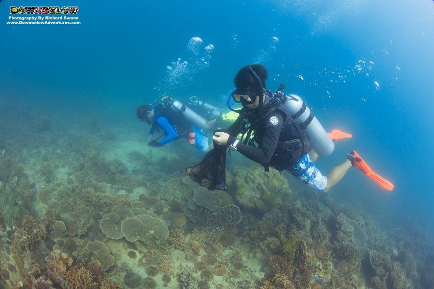
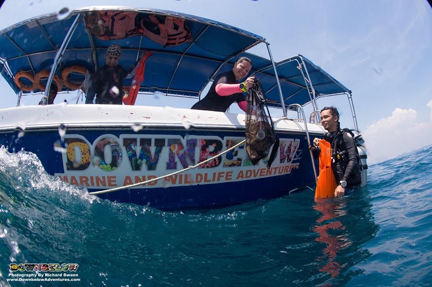
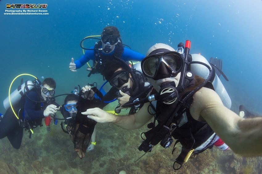
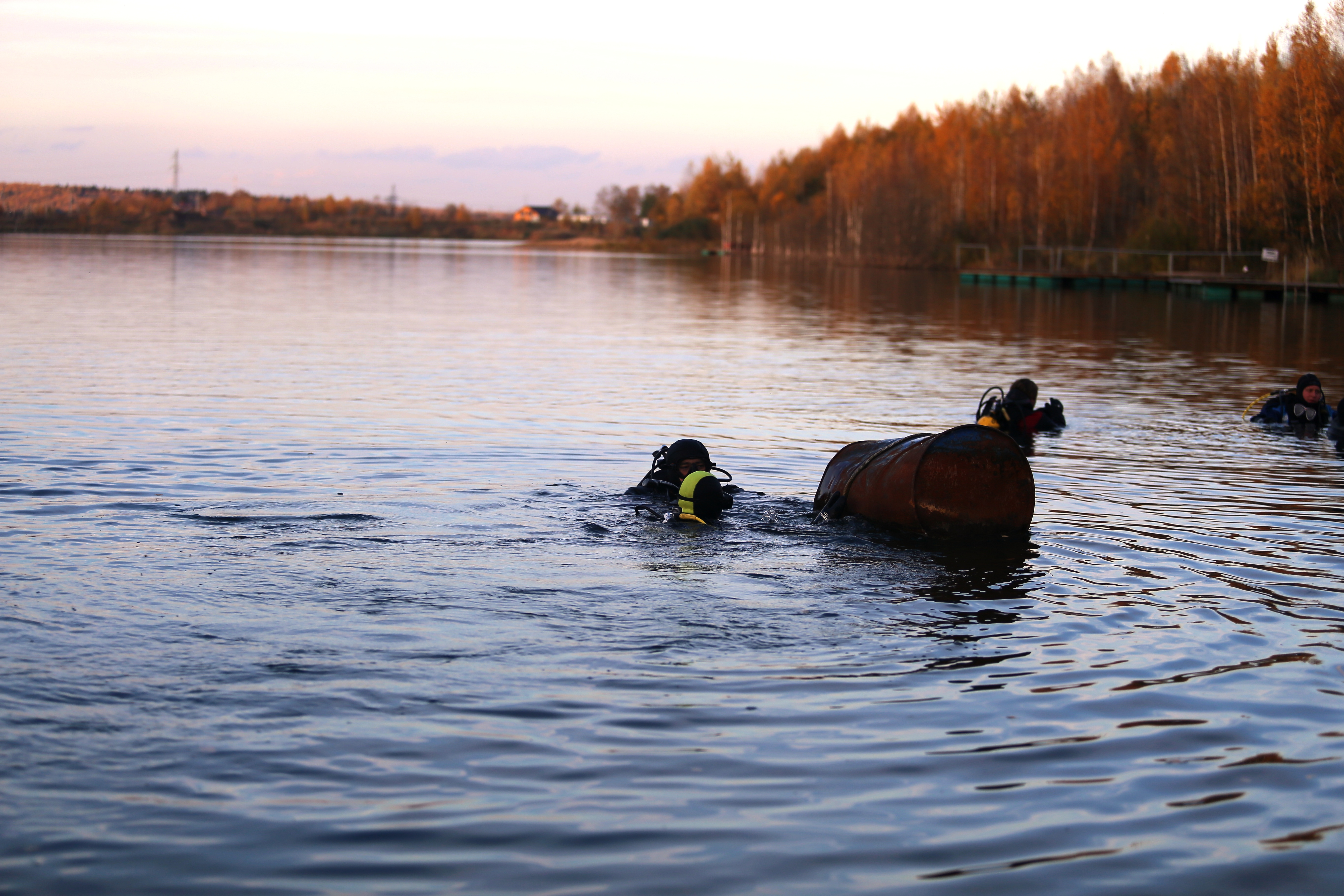
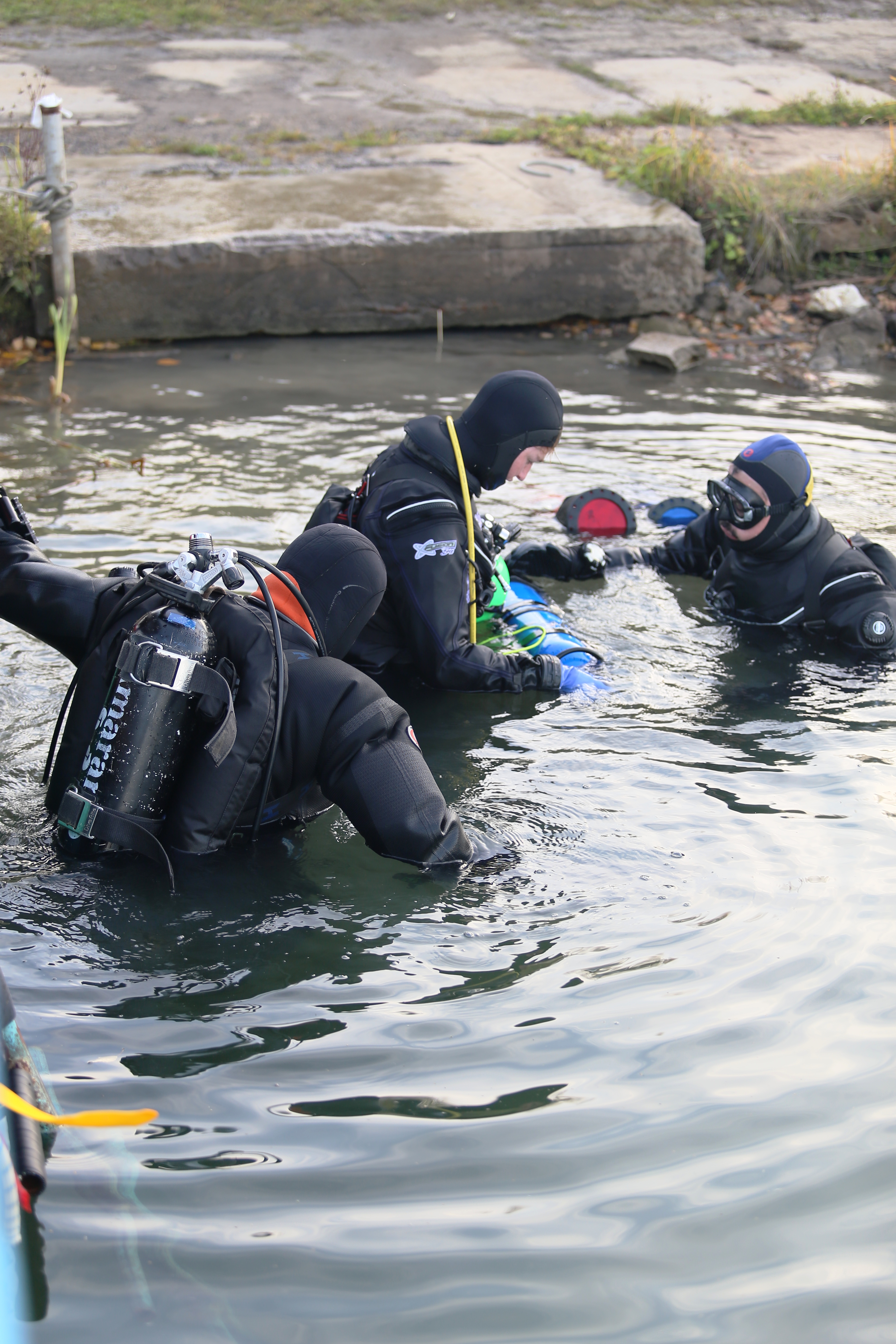
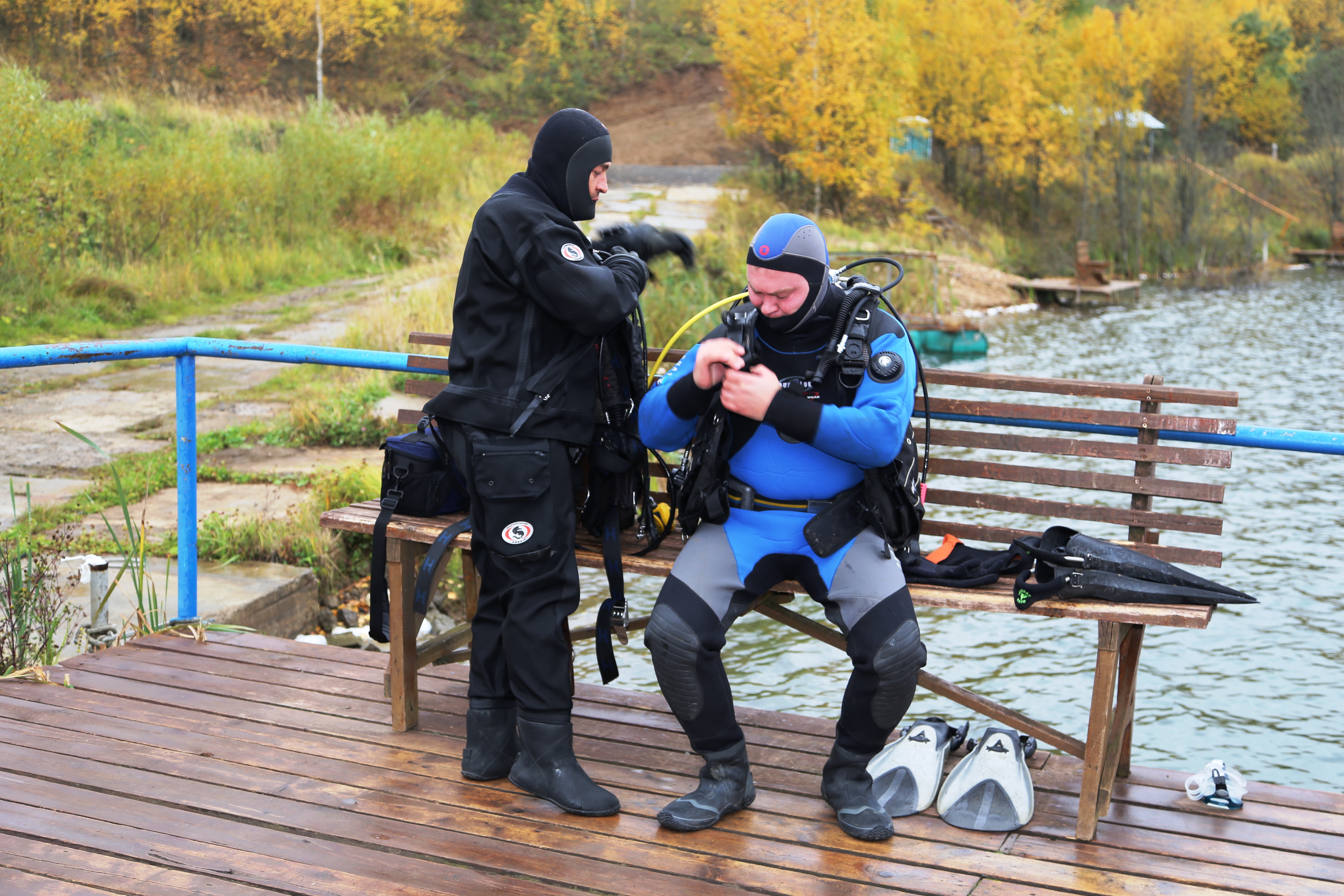
The final season dive. In the framework of the "Adopt A Dive Site" we are convinced that the preparations for winter and all debris removed and the lake is ready to ice.
Air temperature +5-7, Water temperature +8-10
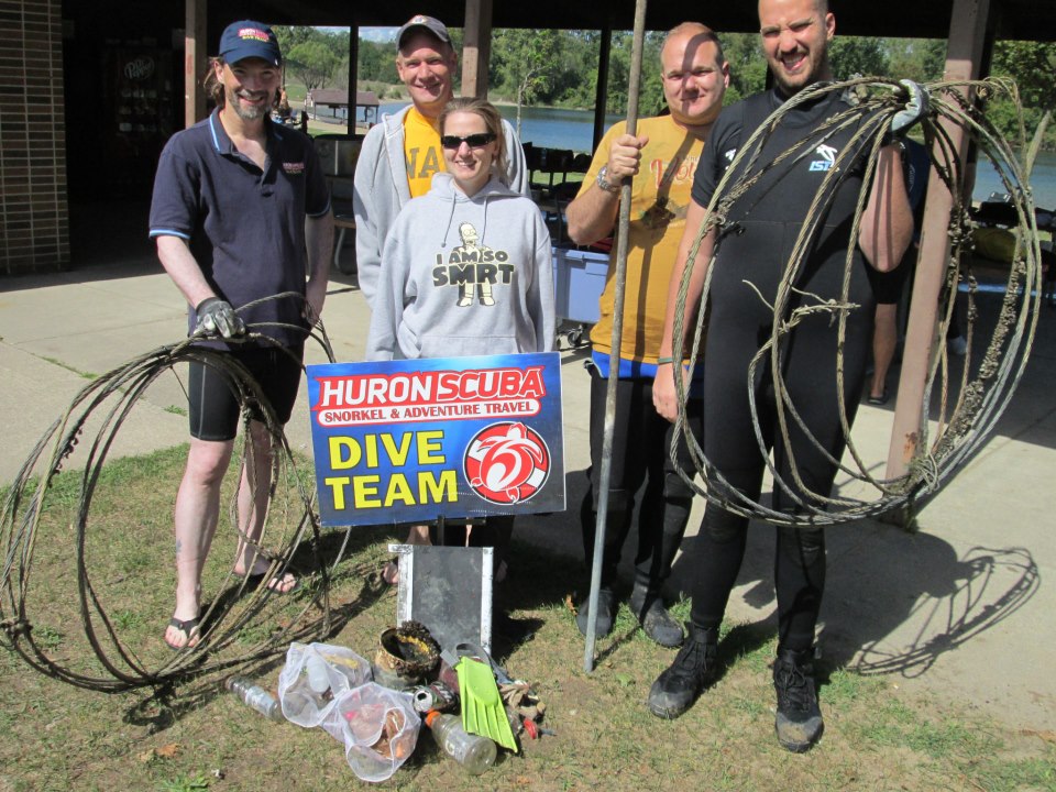
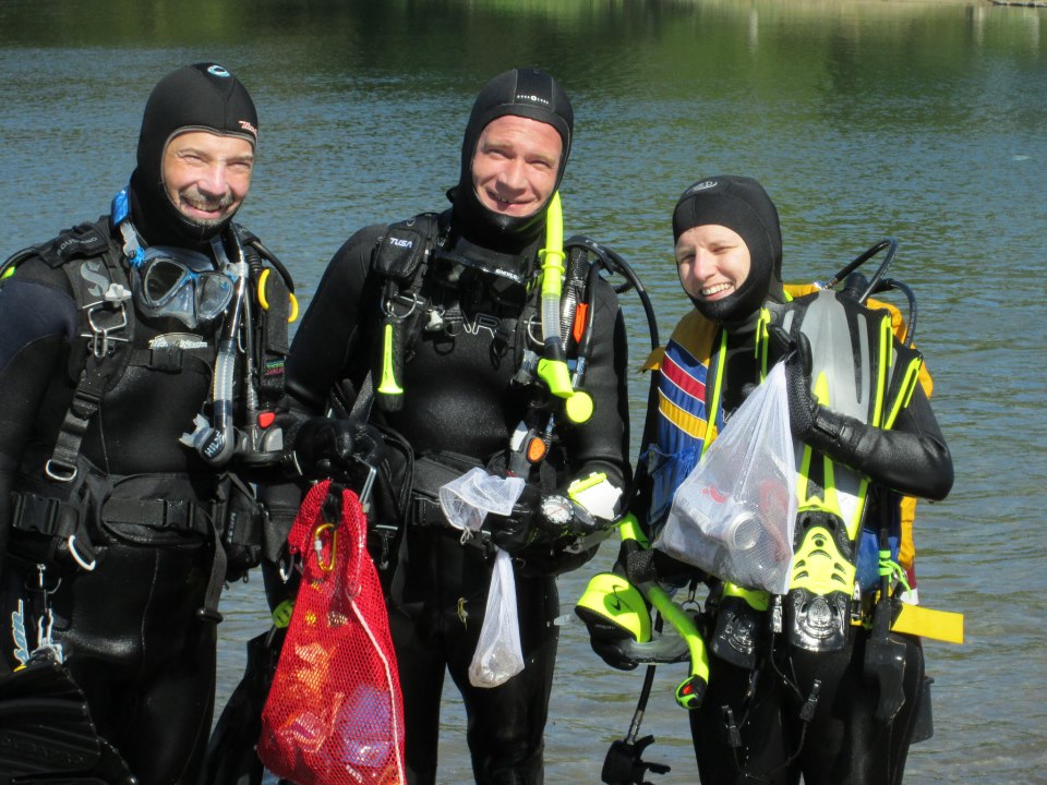
RuDIVE
Alexey Sergeev
4
1.00
42
12.00
3.00
estimated
300.00
2
On
kilograms
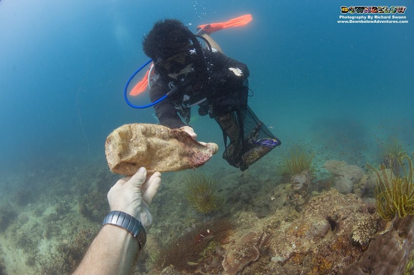
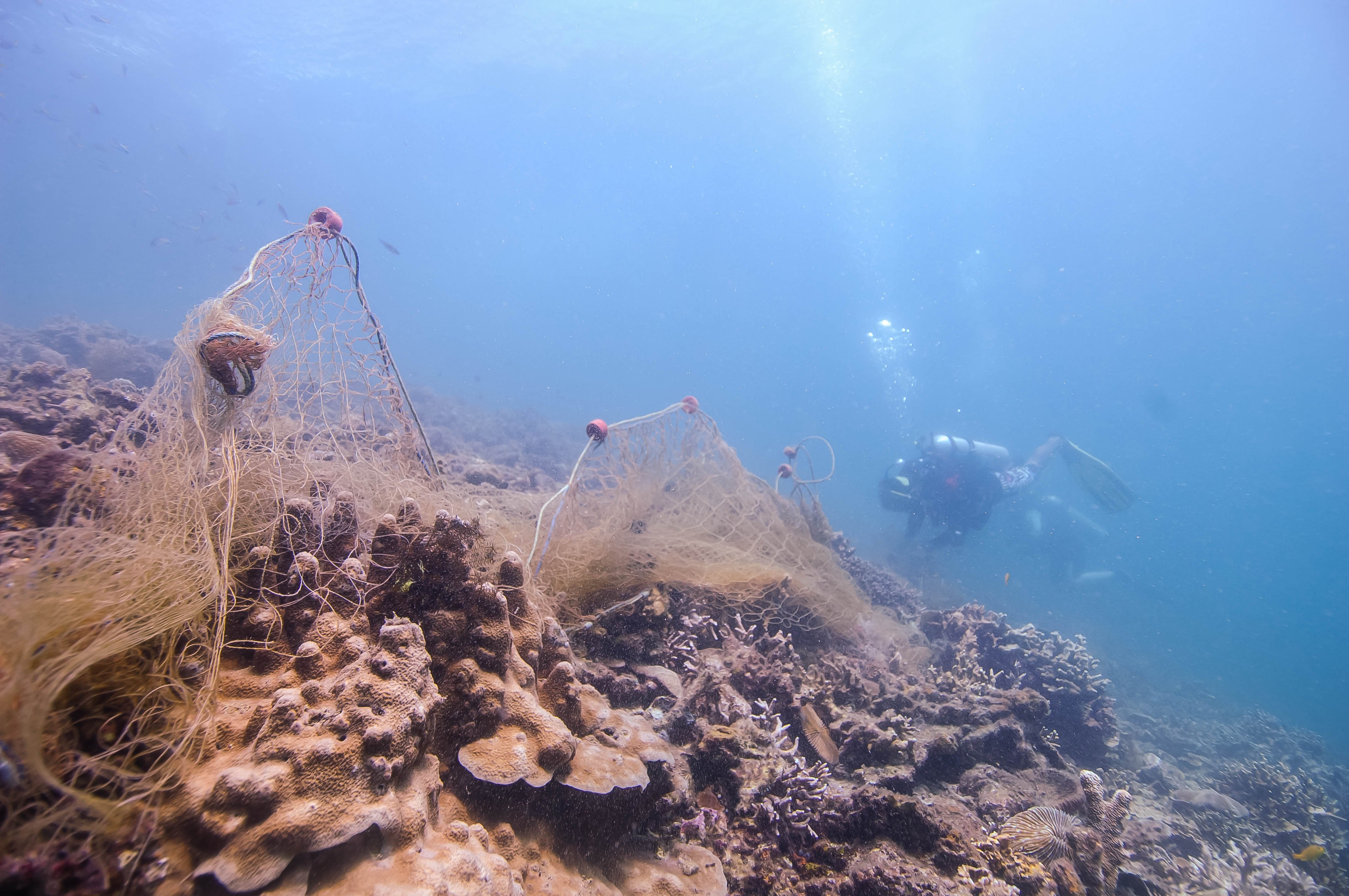
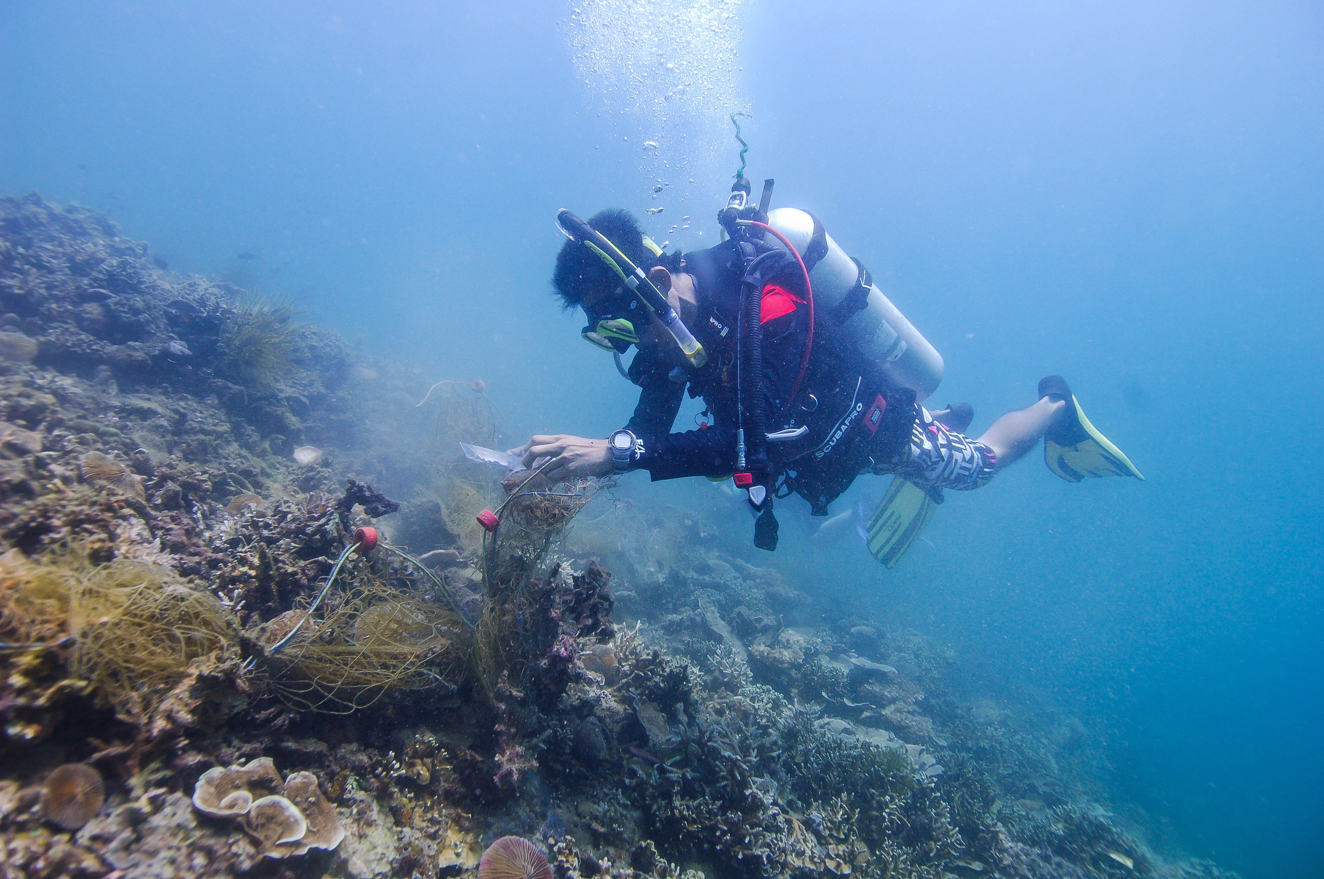
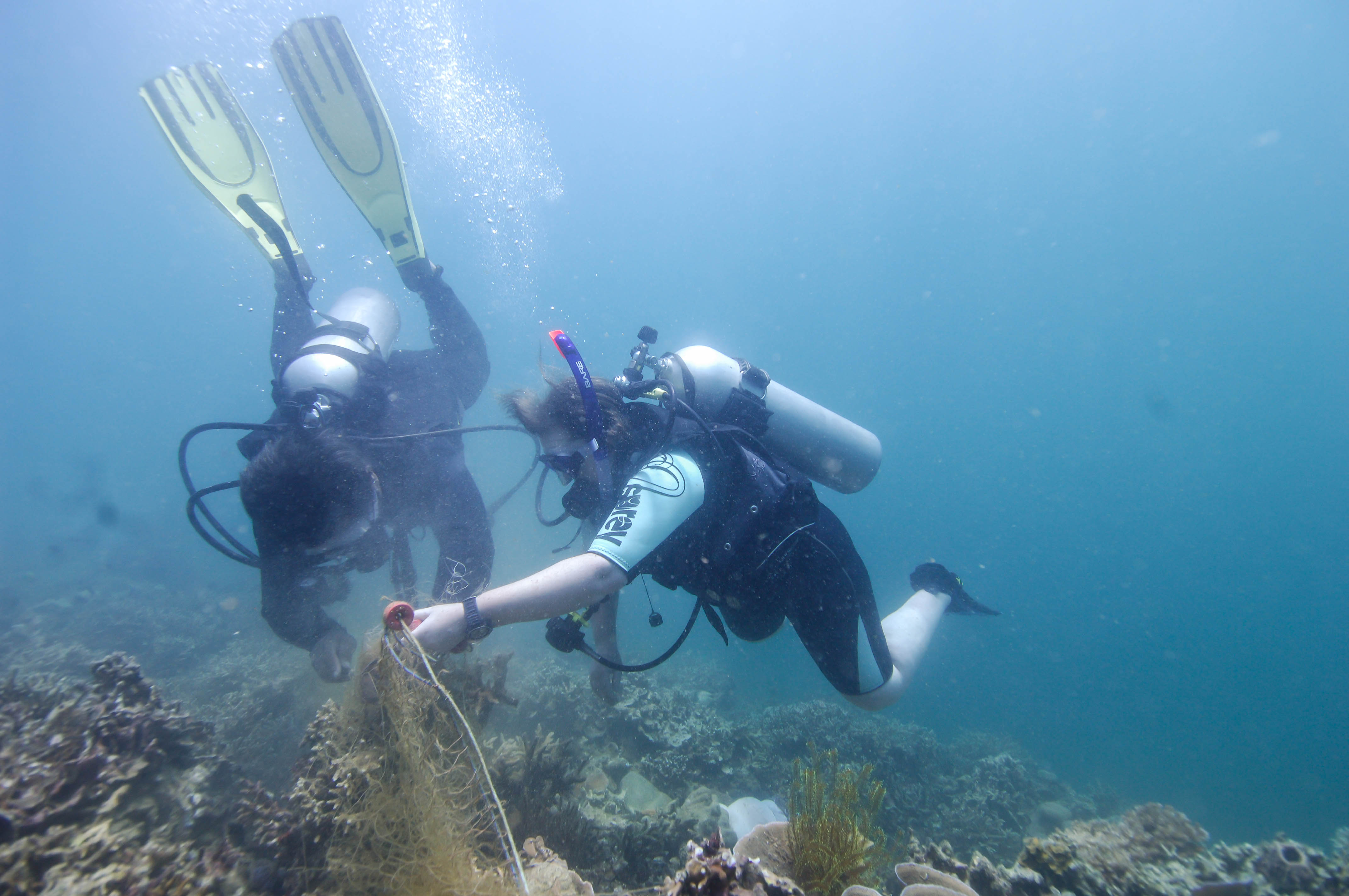
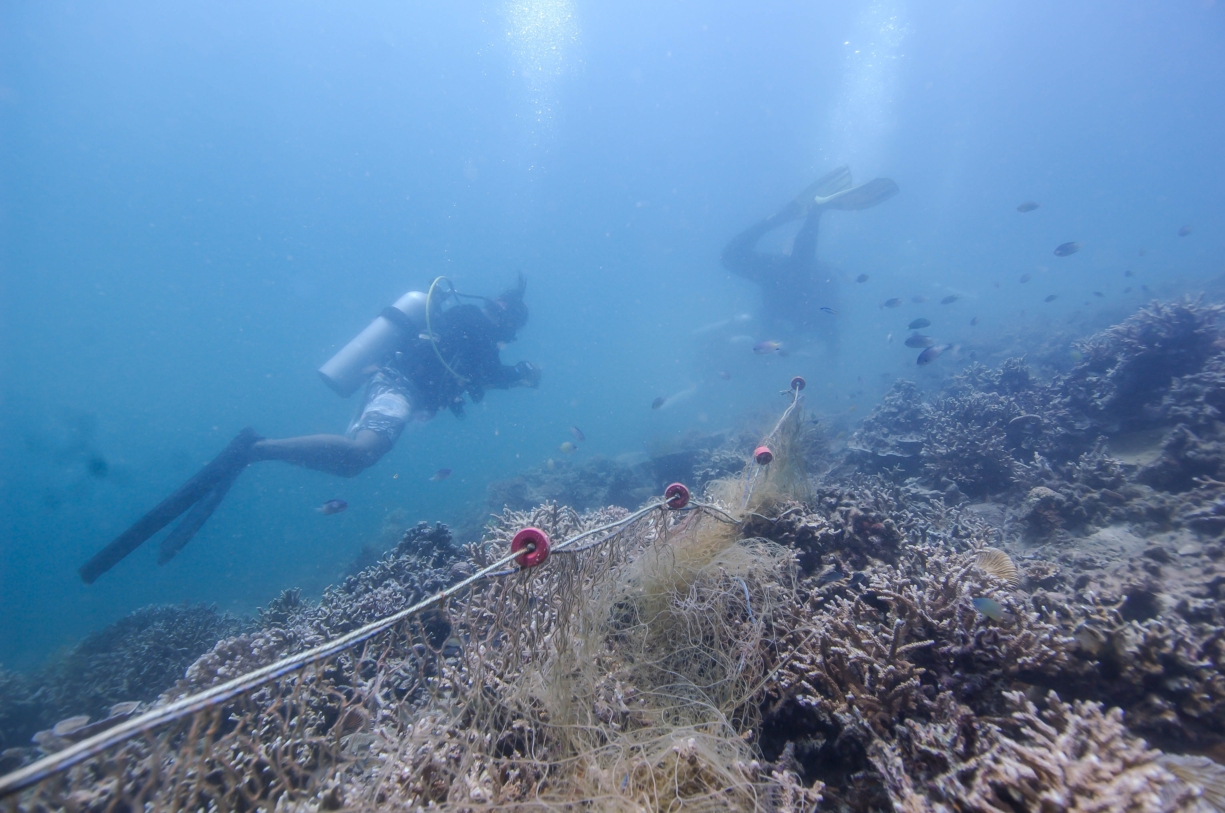
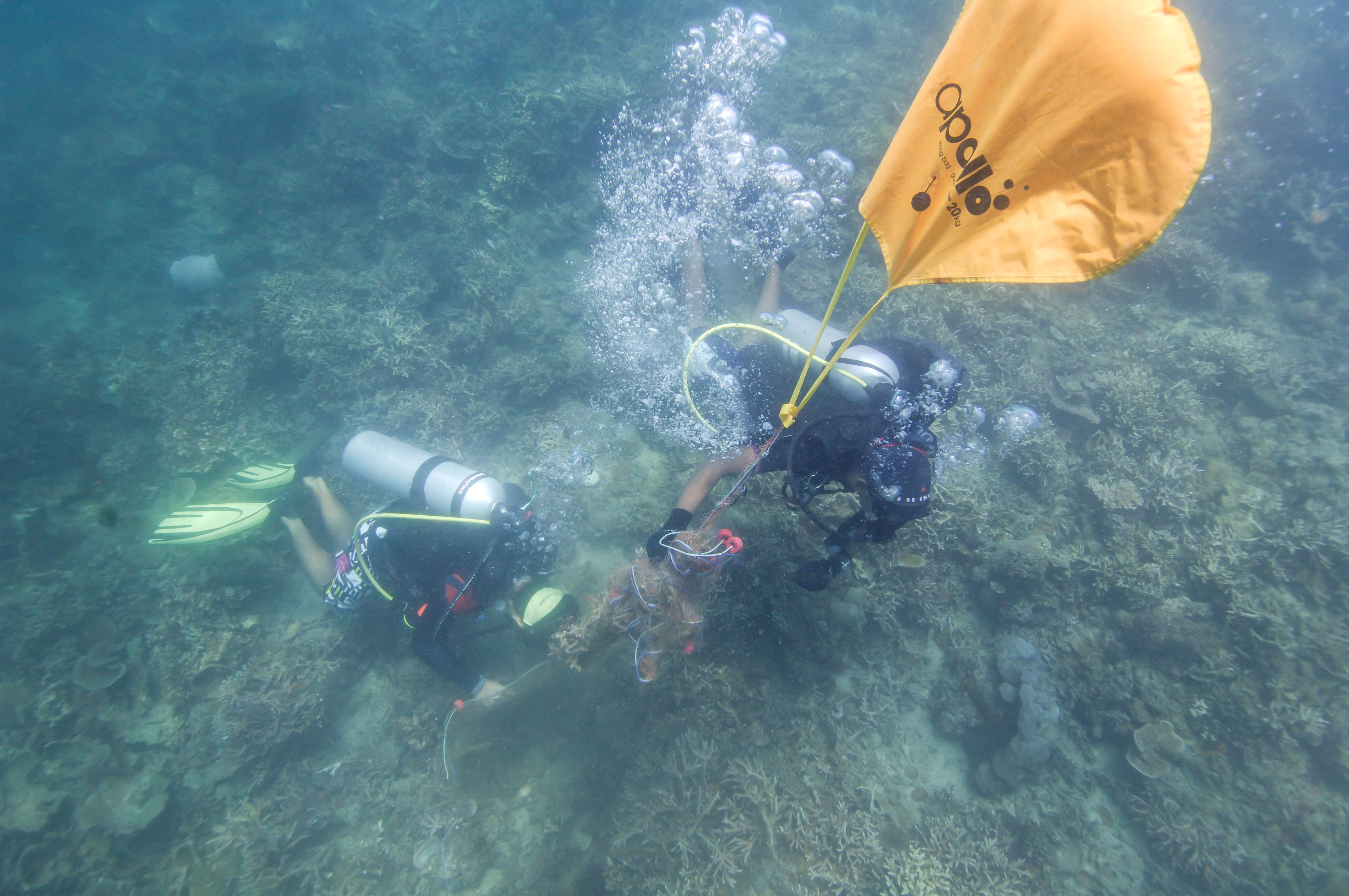
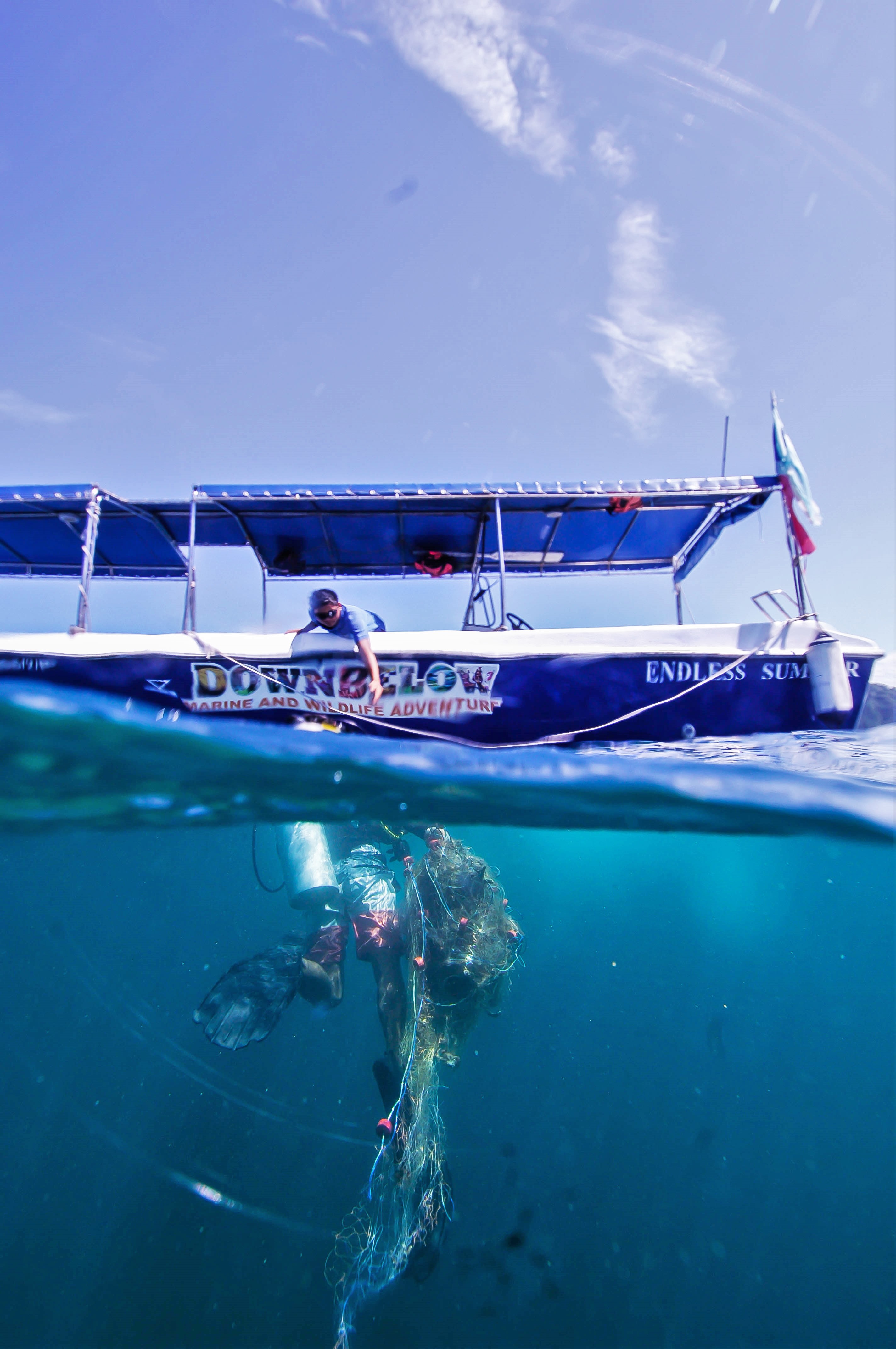
Our Survey Site was free of debris
1
Calm (glassy to rippled) for waves 0 – 0.1 meter high
m2
meters
other
0
1
Russia
City
Moscow
Map Help
Dive Location
If you know your survey site coordinates, enter them manually in decimal degrees using WGS84 Map Datum. Use the minus sign for latitudes south of the equator and longitudes west of the Prime Meridian to 180 degrees.
If you do not know your survey site coordinates, click the “Map Location” tab to use the map to zoom into your survey site and drop the pin on the map to fall within your survey dive site in the water (not on land or the beach). Ensure you zoom in as much as possible to ensure data accuracy.
Entangled Help
Use the vertical tabs below to record any entangled animals you found of each type.
Calm (glassy to rippled) for waves 0 – 0.1 meter high
m2
meters
coral reef
1
2
Language
English
Malaysia
State\Province
Sabah
City
Kota Kinabalu
Map Help
Dive Location
If you know your survey site coordinates, enter them manually in decimal degrees using WGS84 Map Datum. Use the minus sign for latitudes south of the equator and longitudes west of the Prime Meridian to 180 degrees.
If you do not know your survey site coordinates, click the “Map Location” tab to use the map to zoom into your survey site and drop the pin on the map to fall within your survey dive site in the water (not on land or the beach). Ensure you zoom in as much as possible to ensure data accuracy.
Entangled Help
Use the vertical tabs below to record any entangled animals you found of each type.
I have found that most of the trash left behind is lower cost items, things such as store brand soda's, cheap beer cans , store brand chips , lots of bags from stores like 99cent stores, family dollar , the dollar tree , and Walmart. I have also found a significant amount of trash from camping items like the packaging from new tents new camping chairs and new camping grills. Most of these camping packages have been Walmart brands.
The weather has finally cooled down but with that the lake has seen a tremendous amount of campers, leaving behind a lot of trash.
A shoe full of cement.
It was trapped inside a Styrofoam cup.
It has been cooling down the week before our event. We had low 60's in the mornings and low 80's through out the days. Water temperatures were any where from
68-71* (Fahrenheit). Wind conditions were pretty consistent in the morning ranging from 7-13 mph. Visibility in the water was about 10-12 ft until 20 ft deep, more than likely do to the wind and an accumulation of left over filamentous green algae from summer.
Deanna,Chance
1
1
23
34
6
42
5
50
11
4
10
5
6
2
3
3
9
50.65
49
55.00
15.00
measured
12
112405.00
5
On
pounds
I have debris data to report
10
Calm (glassy to rippled) for waves 0 – 0.1 meter high
9
15
ft2
4
feet
rocky reef
2
39
25
26
19
36
40
2
Language
English
United States
State\Province
AZ
City
Peoria
Map Help
Dive Location
If you know your survey site coordinates, enter them manually in decimal degrees using WGS84 Map Datum. Use the minus sign for latitudes south of the equator and longitudes west of the Prime Meridian to 180 degrees.
If you do not know your survey site coordinates, click the “Map Location” tab to use the map to zoom into your survey site and drop the pin on the map to fall within your survey dive site in the water (not on land or the beach). Ensure you zoom in as much as possible to ensure data accuracy.
Entangled Help
Use the vertical tabs below to record any entangled animals you found of each type.
Calm (glassy to rippled) for waves 0 – 0.1 meter high
ft2
feet
other
7
100
20
Language
English
United States
State\Province
Michigan
City
Ann Arbor
Map Help
Dive Location
If you know your survey site coordinates, enter them manually in decimal degrees using WGS84 Map Datum. Use the minus sign for latitudes south of the equator and longitudes west of the Prime Meridian to 180 degrees.
If you do not know your survey site coordinates, click the “Map Location” tab to use the map to zoom into your survey site and drop the pin on the map to fall within your survey dive site in the water (not on land or the beach). Ensure you zoom in as much as possible to ensure data accuracy.
Entangled Help
Use the vertical tabs below to record any entangled animals you found of each type.
Calm (glassy to rippled) for waves 0 – 0.1 meter high
ft2
feet
other
6
1
7
20
Language
English
United States
State\Province
MI
City
Ann Arbor
Map Help
Dive Location
If you know your survey site coordinates, enter them manually in decimal degrees using WGS84 Map Datum. Use the minus sign for latitudes south of the equator and longitudes west of the Prime Meridian to 180 degrees.
If you do not know your survey site coordinates, click the “Map Location” tab to use the map to zoom into your survey site and drop the pin on the map to fall within your survey dive site in the water (not on land or the beach). Ensure you zoom in as much as possible to ensure data accuracy.
Entangled Help
Use the vertical tabs below to record any entangled animals you found of each type.
We went to the same spot as last week as there was still so much to be cleaned up. It is a certain area we discovered has extreme amounts of garbage, we expect there has been a party on a boat as it is not too close to shore.
Few days of rain, last days sunny
1
pad
Volcano Divers Nicaragua
Kristel
78
4
1
19
4
1
9
23
9
20.00
30
18.00
16.00
3
estimated
1
20.00
1
3
plastic cups
cans
plastic bottles
On
kilograms
I have debris data to report
2
Calm (glassy to rippled) for waves 0 – 0.1 meter high
1
1
2
m2
2
1
meters
other
2
5
4
3
9
55
2
1
1
Language
English
Nicaragua
City
Laguna de Apoyo
Map Help
Dive Location
If you know your survey site coordinates, enter them manually in decimal degrees using WGS84 Map Datum. Use the minus sign for latitudes south of the equator and longitudes west of the Prime Meridian to 180 degrees.
If you do not know your survey site coordinates, click the “Map Location” tab to use the map to zoom into your survey site and drop the pin on the map to fall within your survey dive site in the water (not on land or the beach). Ensure you zoom in as much as possible to ensure data accuracy.
Entangled Help
Use the vertical tabs below to record any entangled animals you found of each type.
Calm (glassy to rippled) for waves 0 – 0.1 meter high
m2
meters
coral reef
Language
English
Indonesia
State\Province
Jakarta
City
Jakarta
Map Help
Dive Location
If you know your survey site coordinates, enter them manually in decimal degrees using WGS84 Map Datum. Use the minus sign for latitudes south of the equator and longitudes west of the Prime Meridian to 180 degrees.
If you do not know your survey site coordinates, click the “Map Location” tab to use the map to zoom into your survey site and drop the pin on the map to fall within your survey dive site in the water (not on land or the beach). Ensure you zoom in as much as possible to ensure data accuracy.
Entangled Help
Use the vertical tabs below to record any entangled animals you found of each type.
Calm (glassy to rippled) for waves 0 – 0.1 meter high
m2
meters
coral reef
Language
English
Indonesia
State\Province
Kepulauan Seribu
City
Jakarta
Map Help
Dive Location
If you know your survey site coordinates, enter them manually in decimal degrees using WGS84 Map Datum. Use the minus sign for latitudes south of the equator and longitudes west of the Prime Meridian to 180 degrees.
If you do not know your survey site coordinates, click the “Map Location” tab to use the map to zoom into your survey site and drop the pin on the map to fall within your survey dive site in the water (not on land or the beach). Ensure you zoom in as much as possible to ensure data accuracy.
Entangled Help
Use the vertical tabs below to record any entangled animals you found of each type.