Seatech Dania Beach, Florida
1
550, 133
2
Hurricane Irma
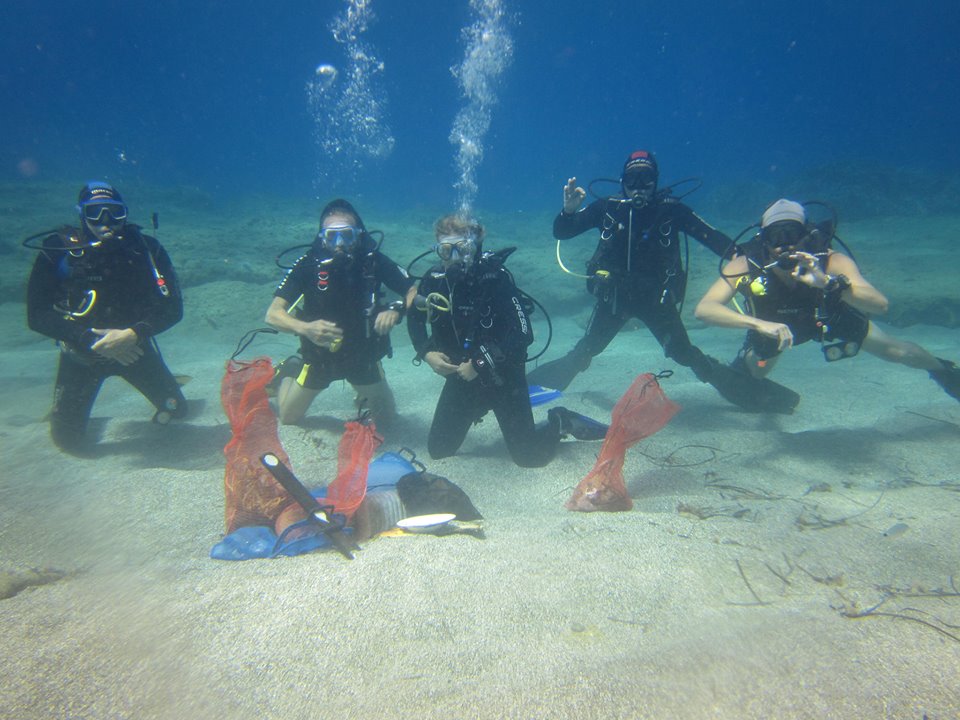
Currently the reefs of Dania Beach and other locations off of Ft. Lauderdale are covered in sand from the recent Hurricane Irma which passed through. Coral is barely visible due to being covered in sand.
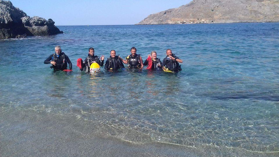
First dive after Hurricane Irma
Jay Fenner
2
10.00
61
27.00
12.00
1
estimated
1
1700.00
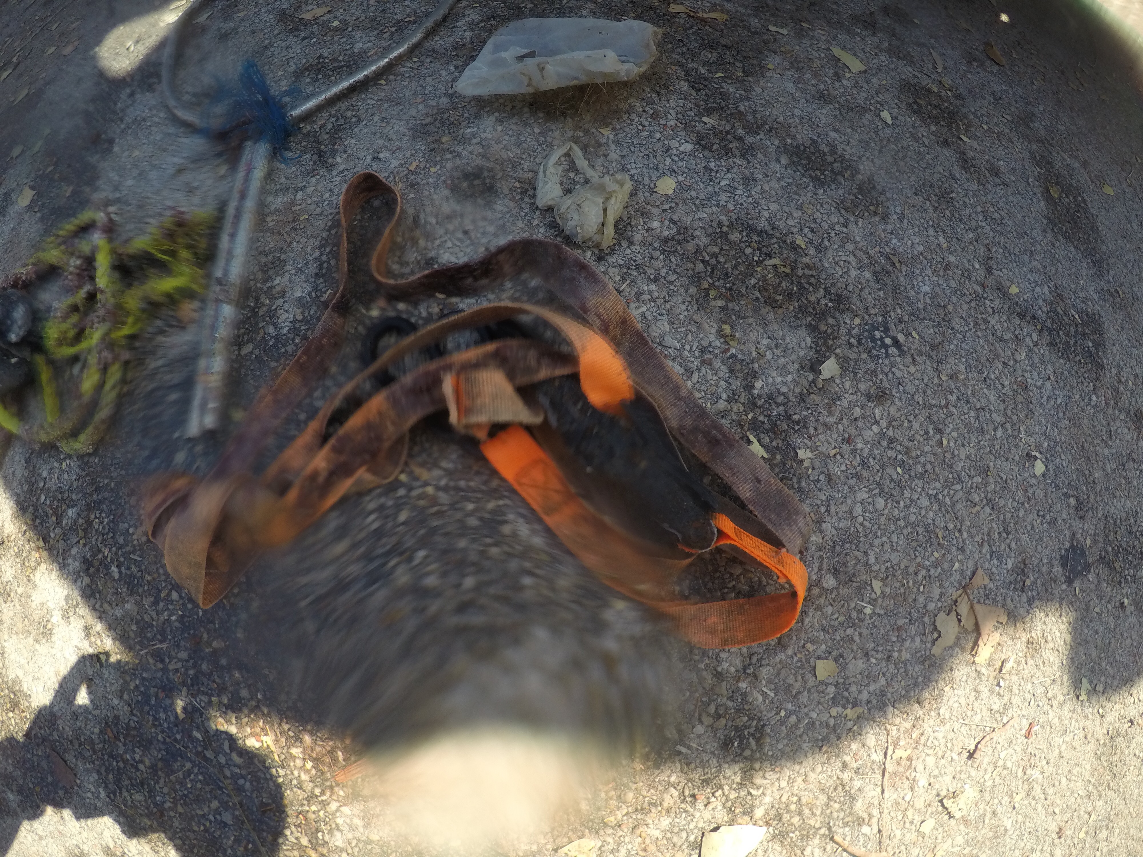
ropes and straps
On
pounds
I have debris data to report
Smooth (wavelets) for waves 0.1 - 0.5 meter high
ft2
1
feet
coral reef
1
1
State\Province
Florida
City
Dania Beach
Map Help
Dive Location
If you know your survey site coordinates, enter them manually in decimal degrees using WGS84 Map Datum. Use the minus sign for latitudes south of the equator and longitudes west of the Prime Meridian to 180 degrees.
If you do not know your survey site coordinates, click the “Map Location” tab to use the map to zoom into your survey site and drop the pin on the map to fall within your survey dive site in the water (not on land or the beach). Ensure you zoom in as much as possible to ensure data accuracy.
Entangled Help