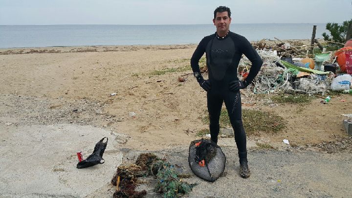
Little Palm Beach
5
4
3
22.320089674119, 114.28708670985
20
0
0
sand
0
2
0
5
0
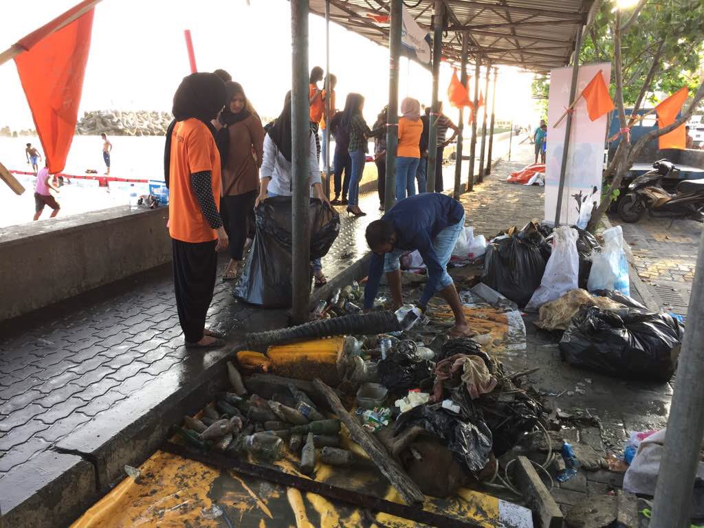
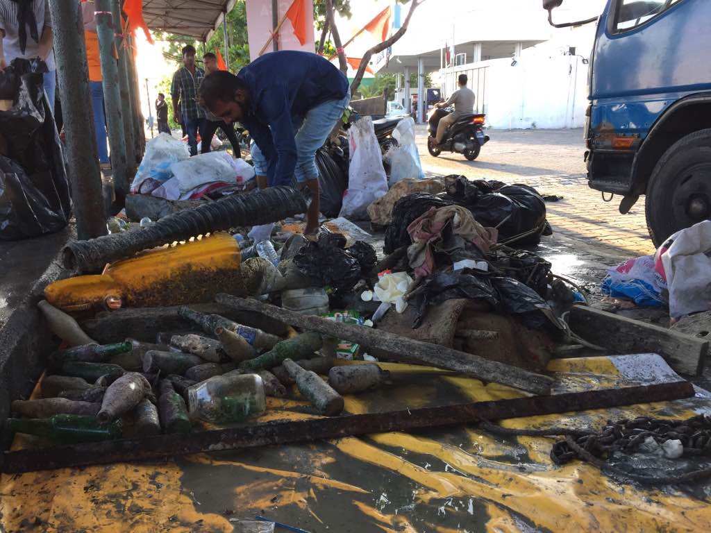
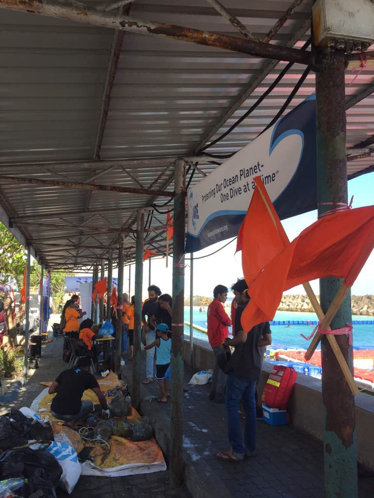
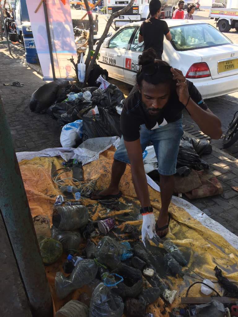
Some of the items listed were too big to pick up: fishing trap, tire, 2 big fishing nets filled with rocks
Dive light
Sunny with rainy periods
0
0
0
0
0
0
0
0
0
0
0
0
0
0
0
0
0
0
0
0
None
Tursiopsdiver
0
0
1
2
0
0
0
0
2
0
0
0
0
0
0
0
1
0
0
2
0
0
0
0
1
0
0
0
0
0
0
0
0
1
6.30
124
5.00
1.80
2
measured
0
0
5924.82
0
1
0
0
0
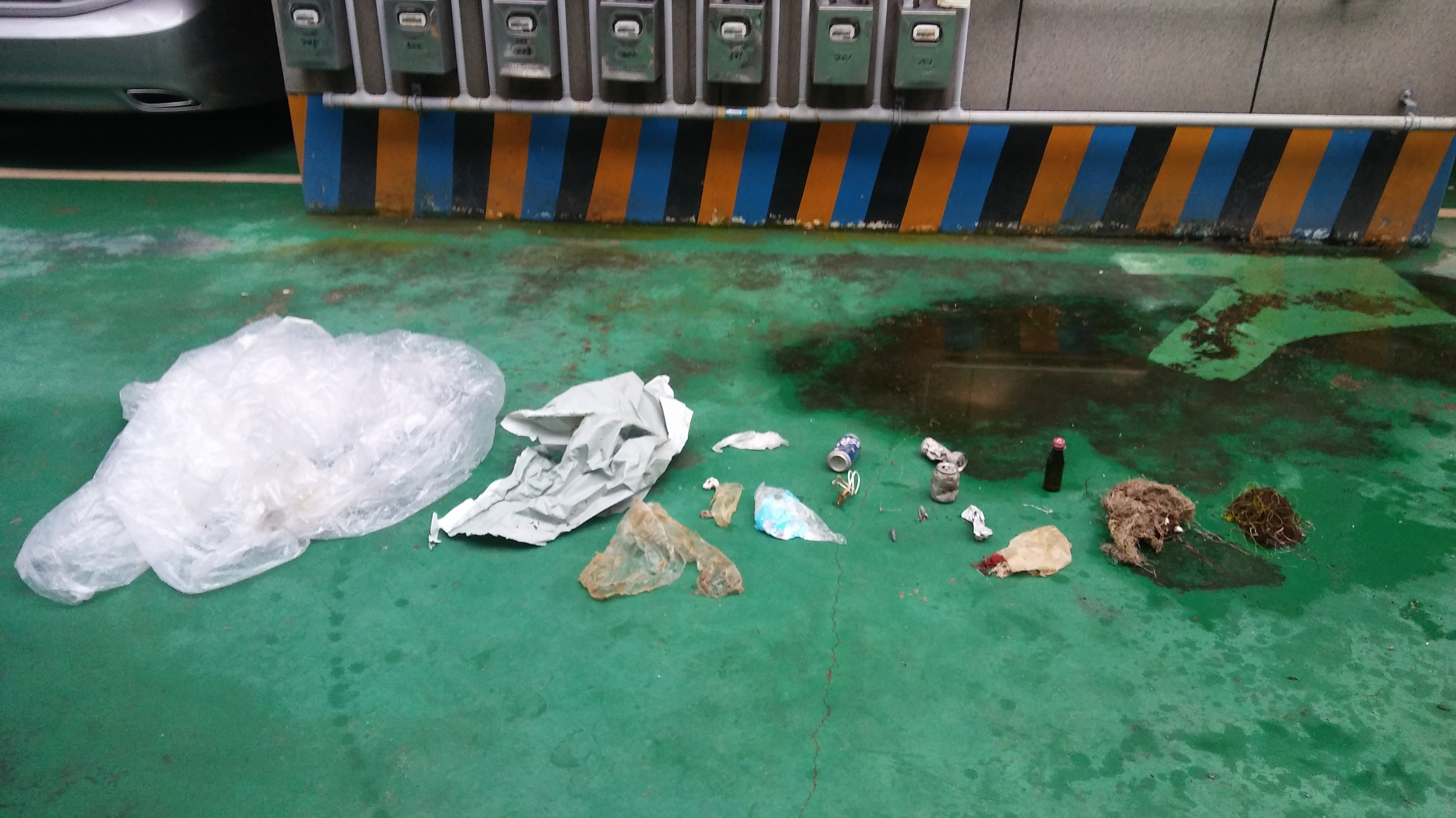
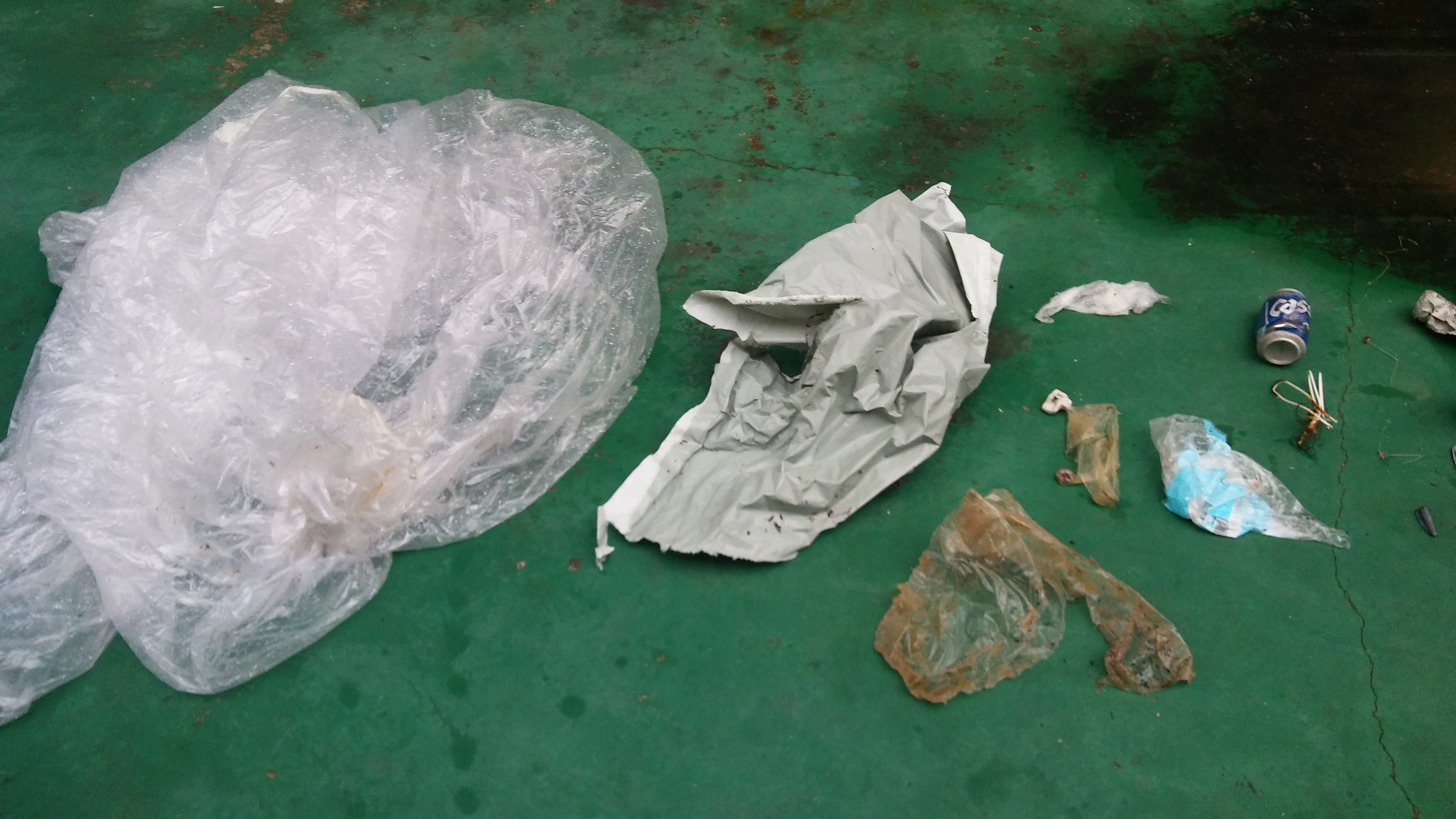
Abandoned fishing gears
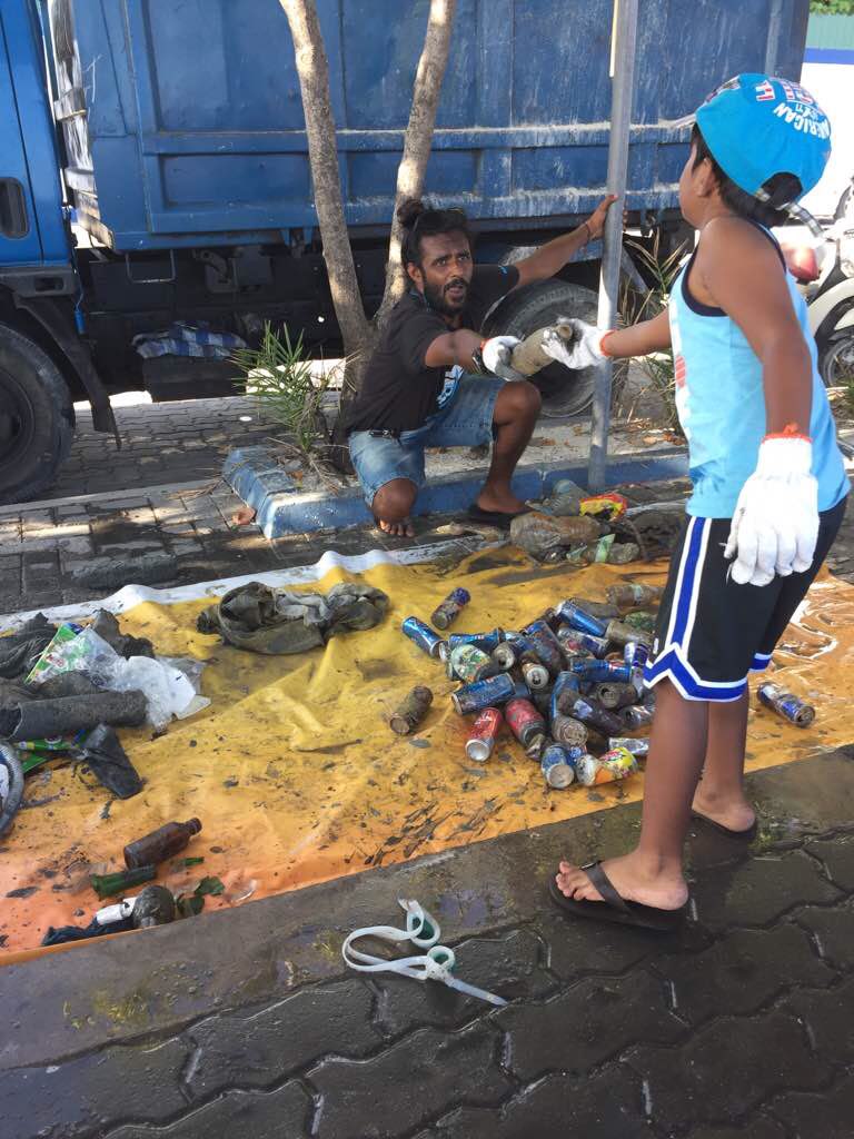
Plastic
0
On
kilograms
0
I have debris data to report
3
1
0
Calm (glassy to rippled) for waves 0 – 0.1 meter high
0
0
0
0
0
0
0
m2


0
0
meters
rocky reef
0
0
0
0
0
0
0
0
0
0
0
0
0
0
0
0
0
0
0
0
0
3
0
0
0
0
0
0
State\Province
Hong Kong
City
Hong Kong
Map Help
Dive Location
If you know your survey site coordinates, enter them manually in decimal degrees using WGS84 Map Datum. Use the minus sign for latitudes south of the equator and longitudes west of the Prime Meridian to 180 degrees.
If you do not know your survey site coordinates, click the “Map Location” tab to use the map to zoom into your survey site and drop the pin on the map to fall within your survey dive site in the water (not on land or the beach). Ensure you zoom in as much as possible to ensure data accuracy.
Entangled Help