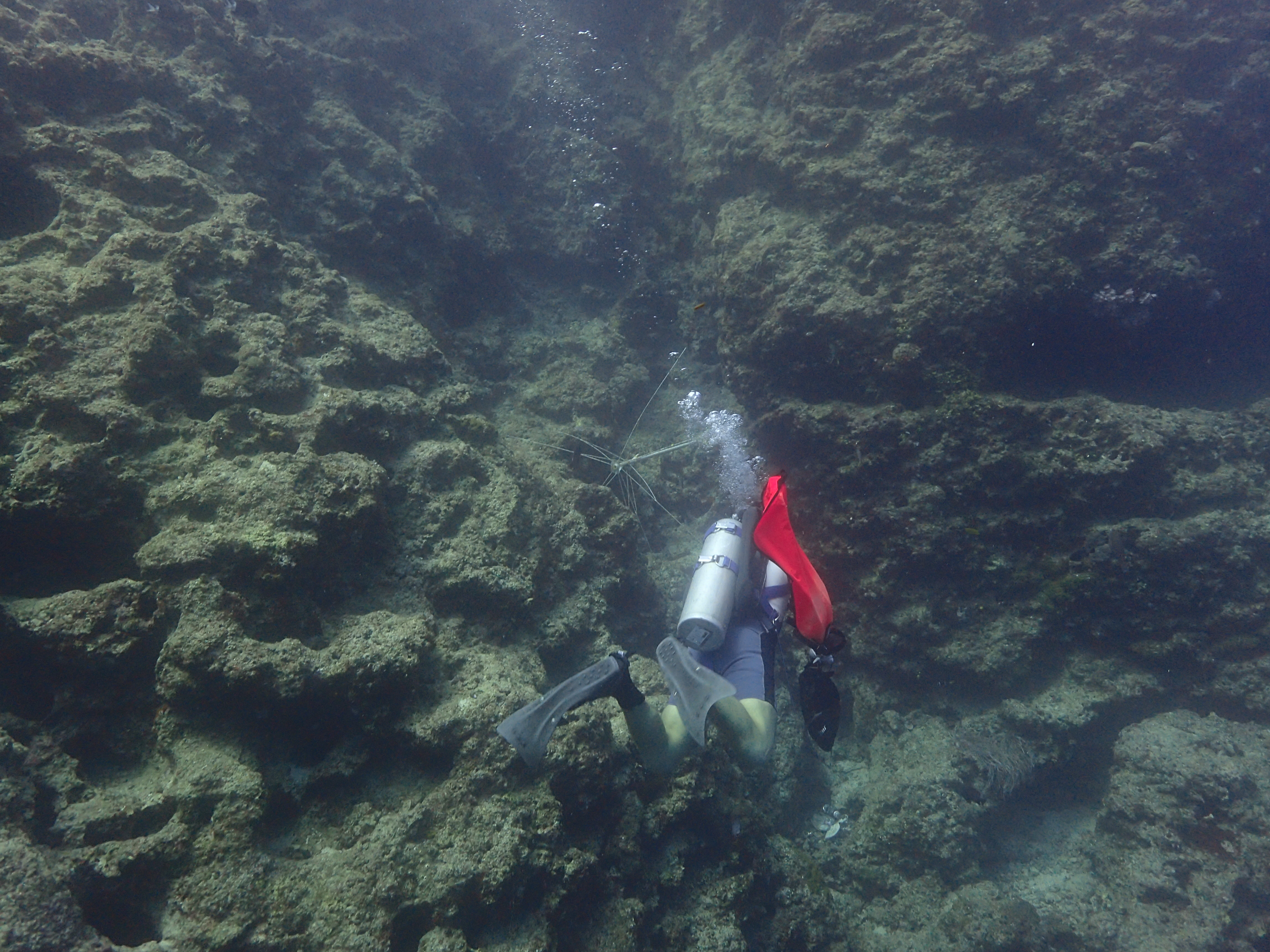
Horseshoe Reef
25.131619, -80.292778
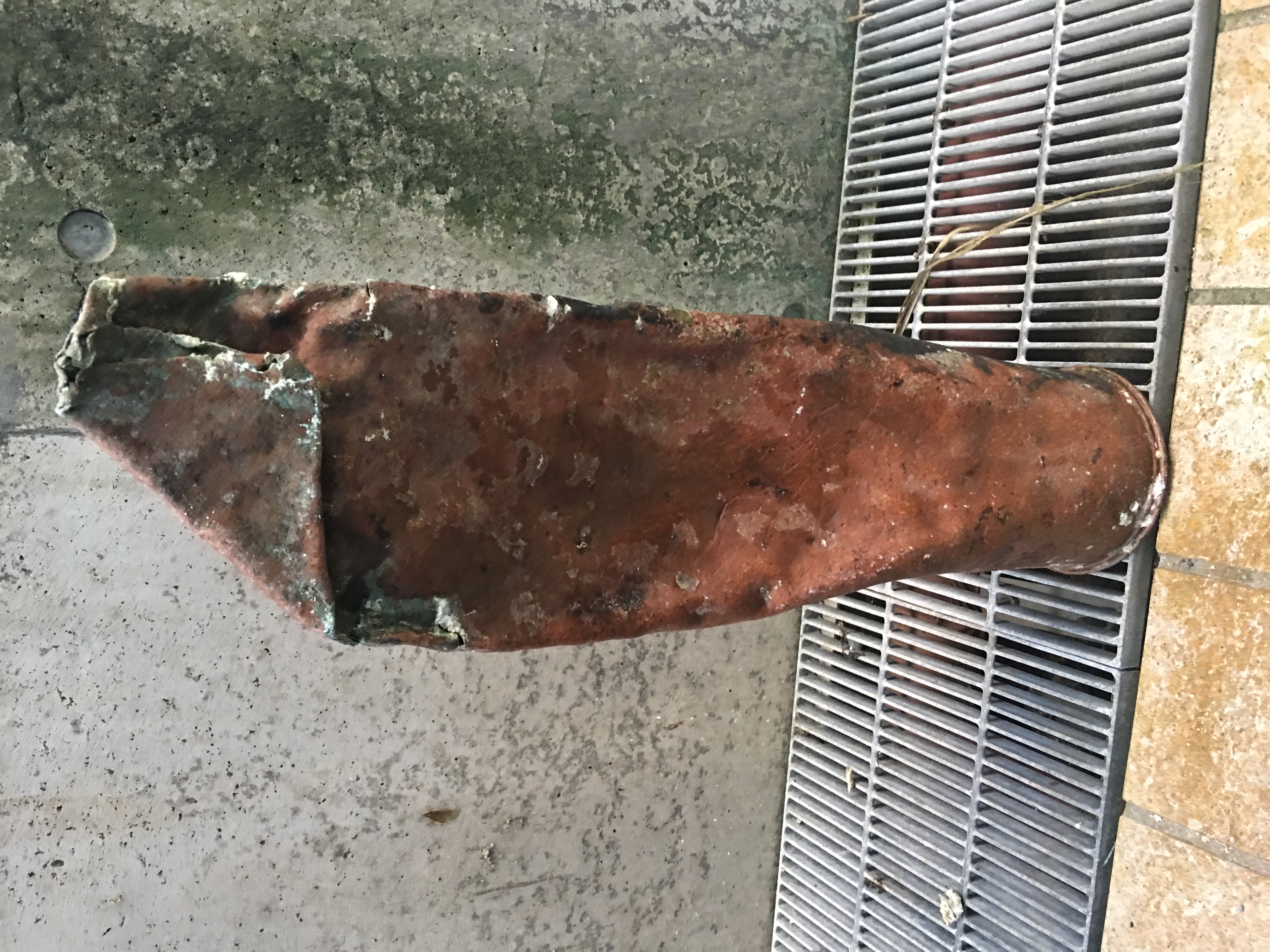
swim ladder off a boat broke loose
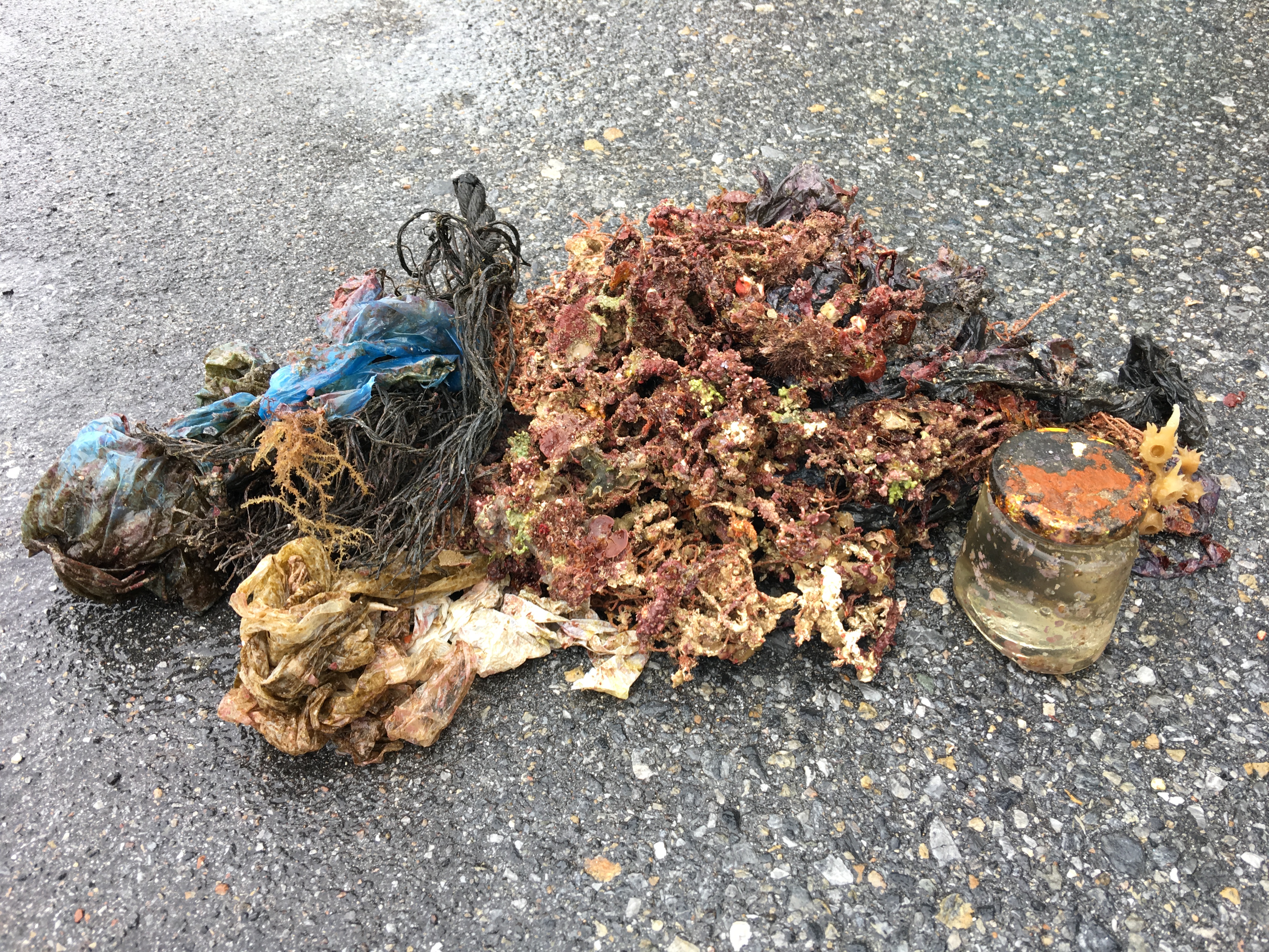
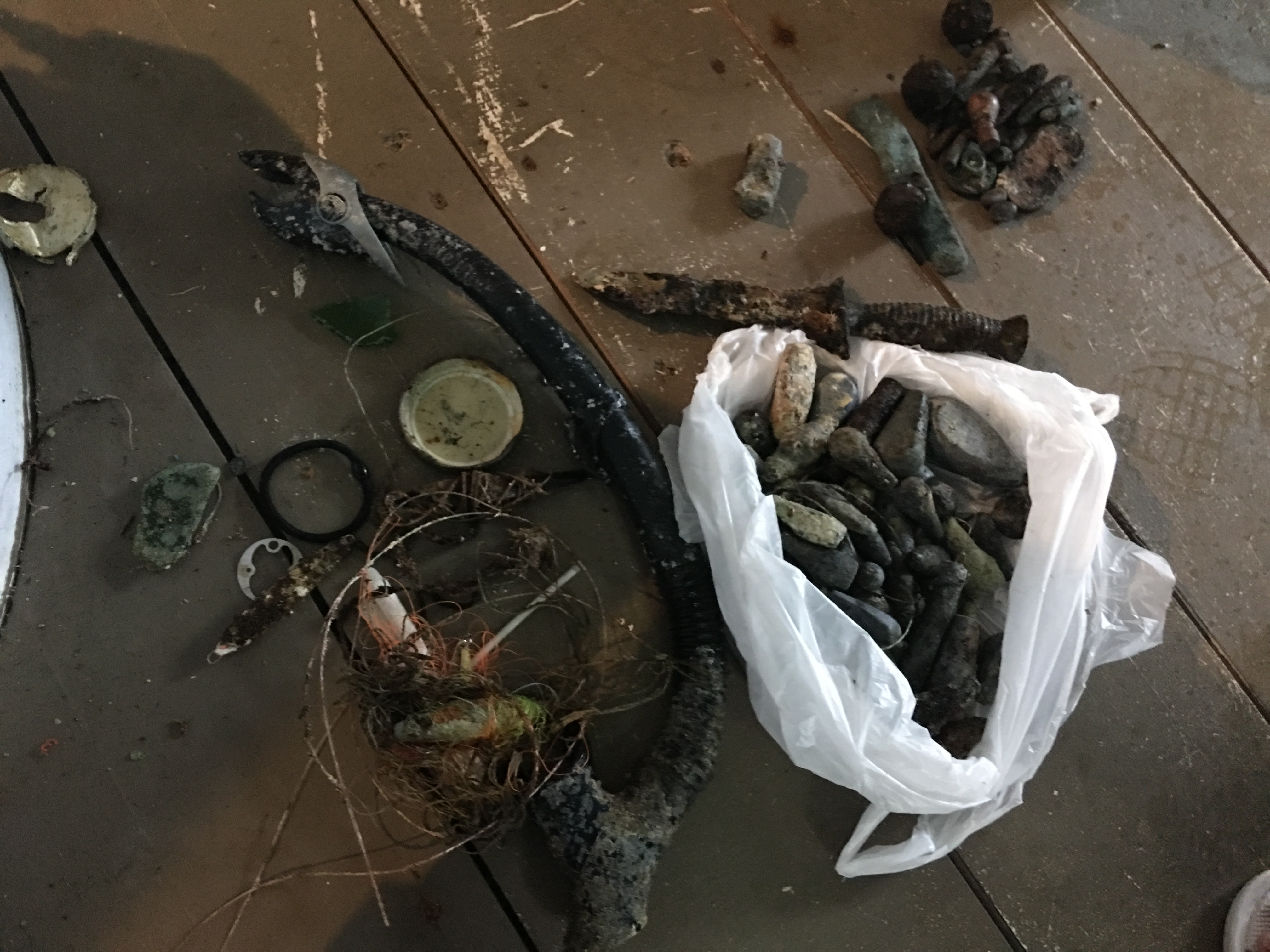
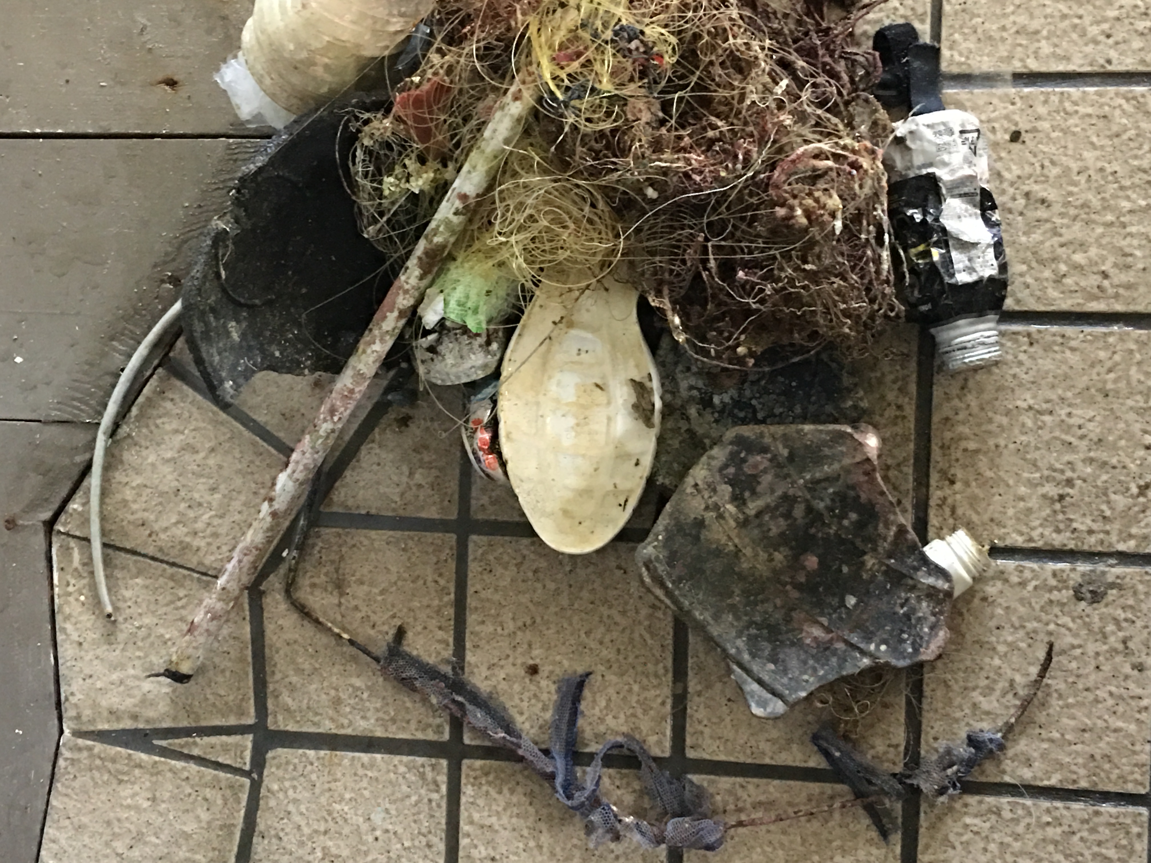
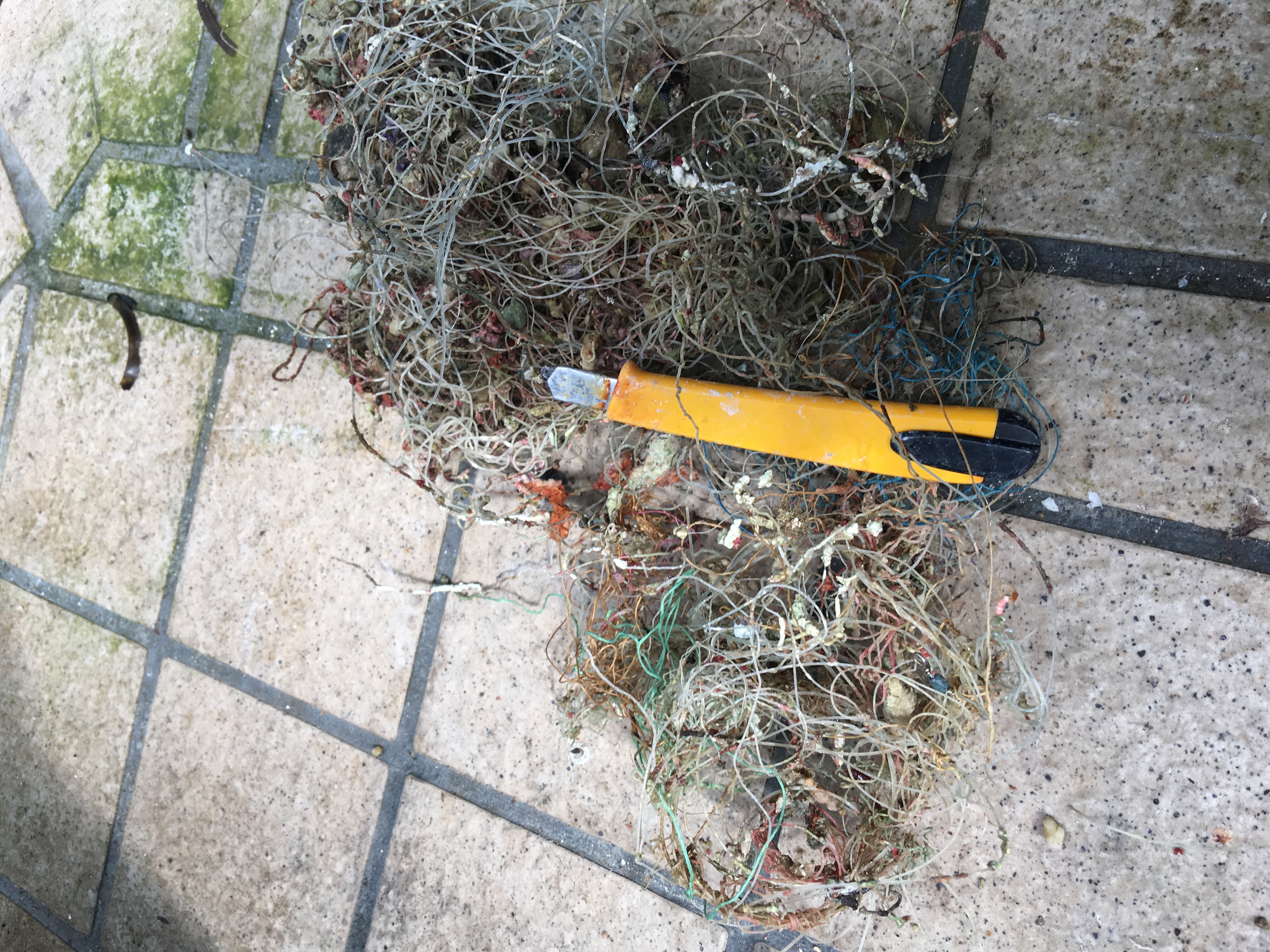
lobster traps forced into protected areas from the storm crushed the wood debris all over the reef.
swim ladder from a boat, clearly missing and was banging up the reef
smooth
1
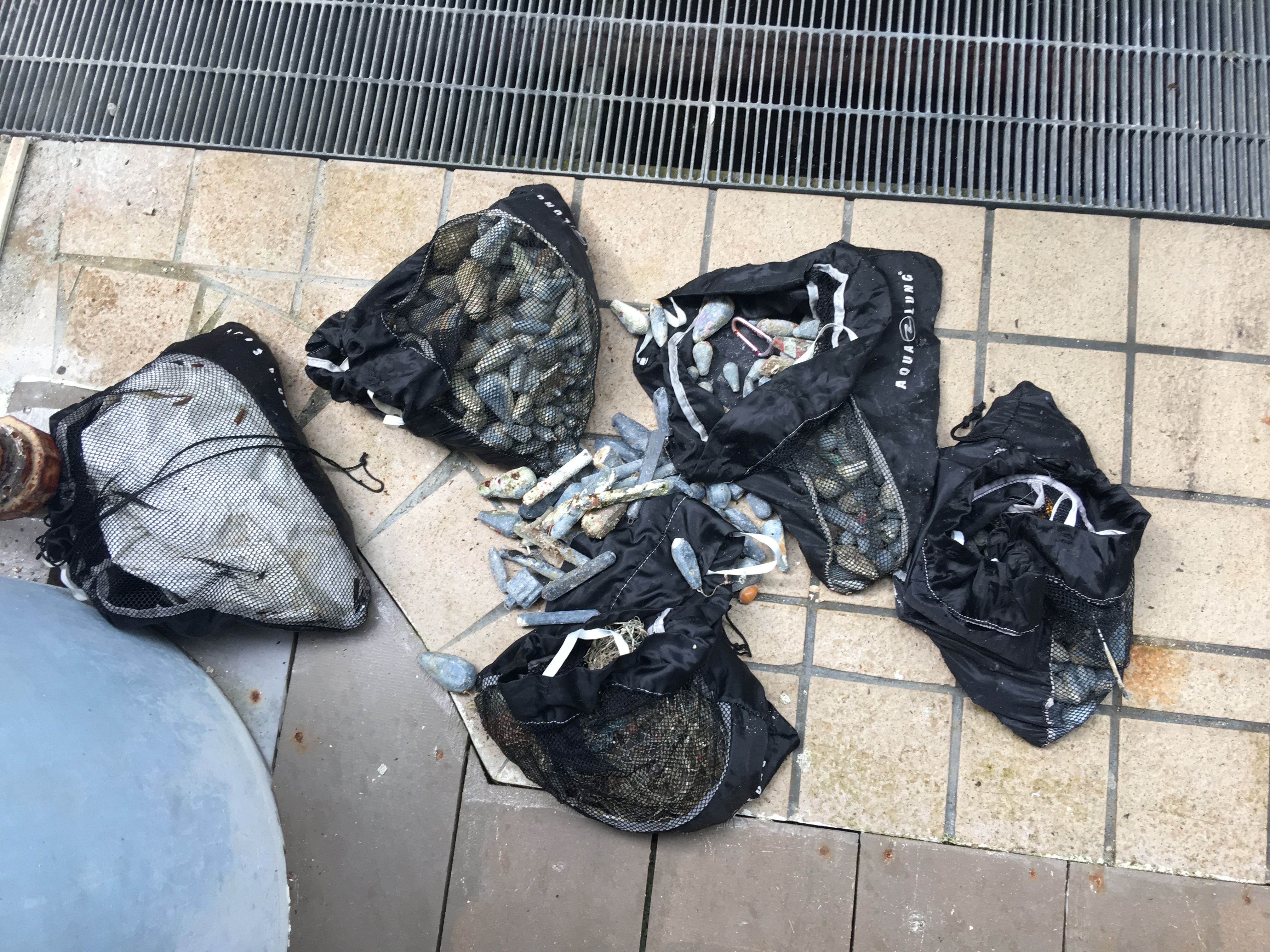
METAL BOAT AQUATIC SWIM LADDER- 40 lbs
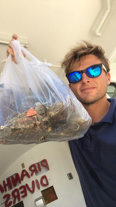
rainbow reef dive center
jack fishman
10
60.00
40
26.00
15.00
measured
10
483.00
On
pounds
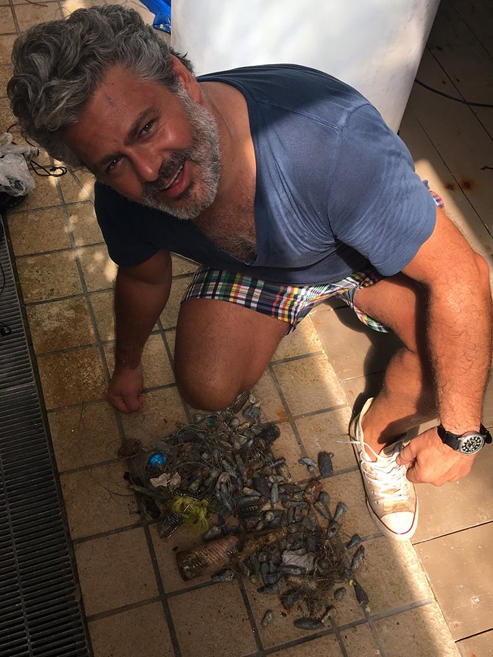
I have debris data to report
10
Smooth (wavelets) for waves 0.1 - 0.5 meter high
10
2
ft2

2
feet
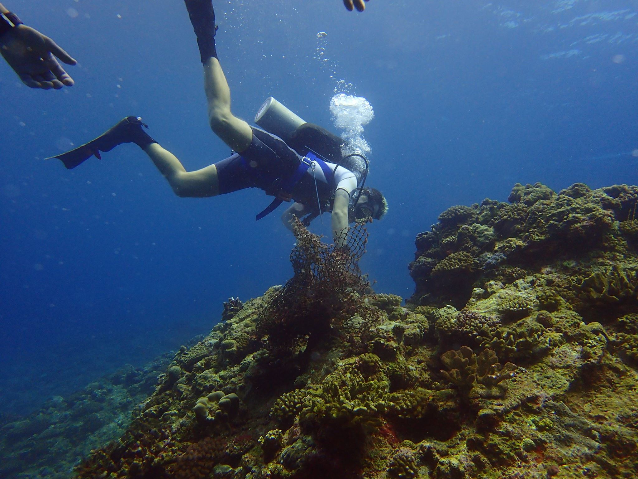
coral reef
State\Province
florida
City
key largo
Map Help
Dive Location
If you know your survey site coordinates, enter them manually in decimal degrees using WGS84 Map Datum. Use the minus sign for latitudes south of the equator and longitudes west of the Prime Meridian to 180 degrees.
If you do not know your survey site coordinates, click the “Map Location” tab to use the map to zoom into your survey site and drop the pin on the map to fall within your survey dive site in the water (not on land or the beach). Ensure you zoom in as much as possible to ensure data accuracy.
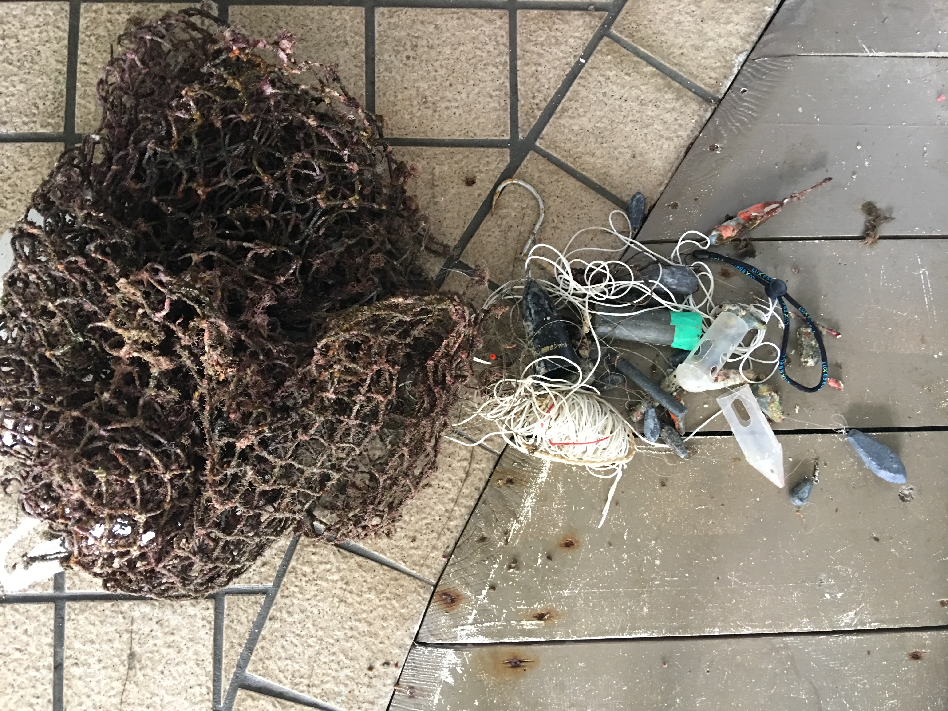
Entangled Help