
ADS350 - Easington Beach
20
53.645961, 0.130047
1
sand
3
15
3
Possibly more than usual with recent strong tides in the area
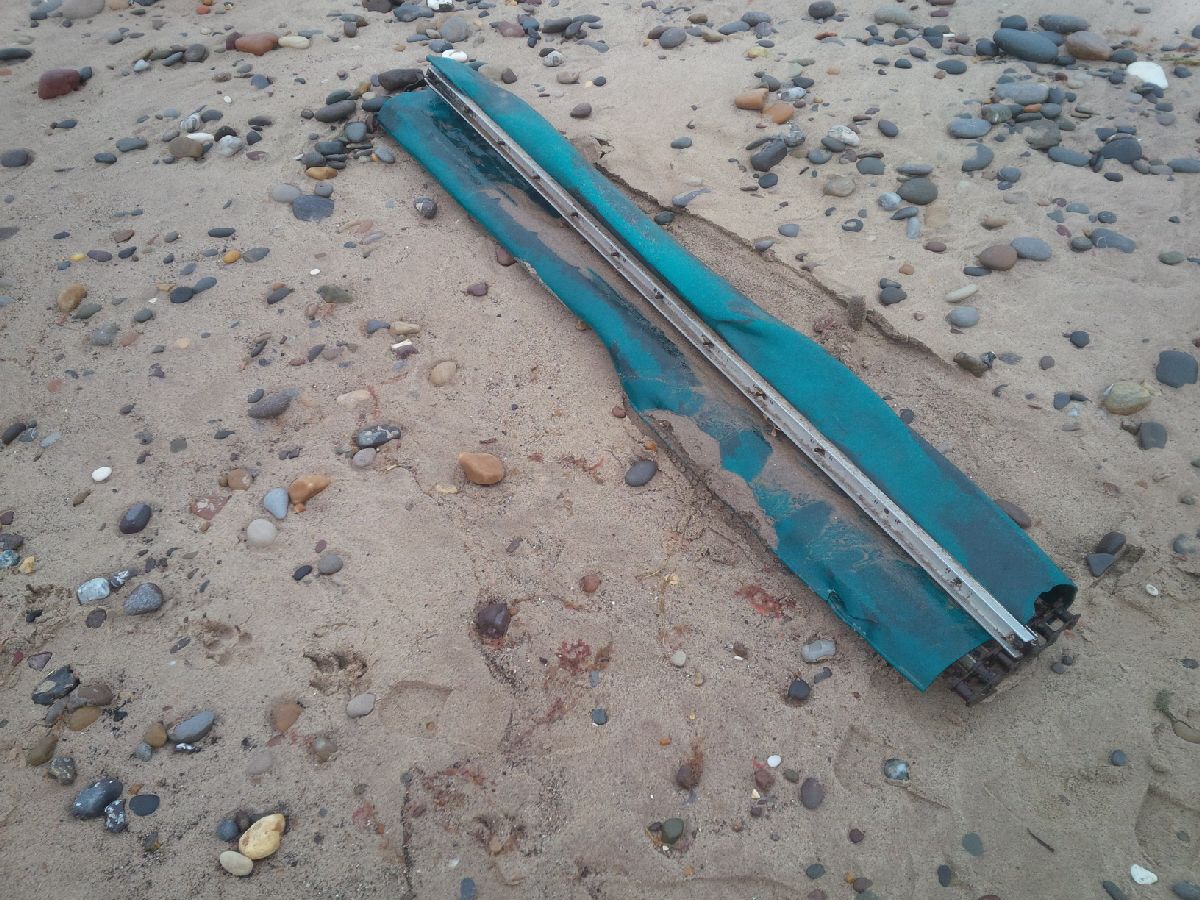
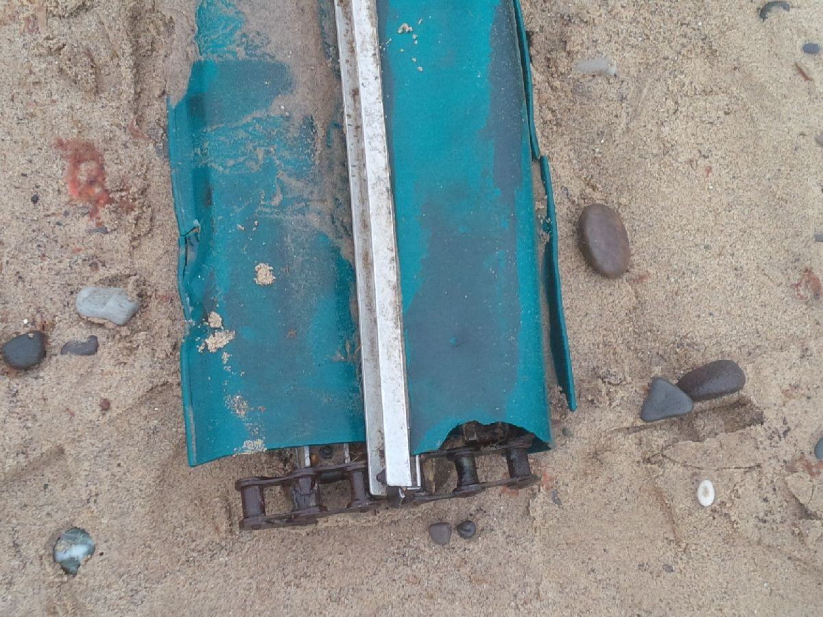
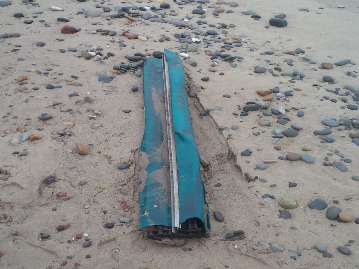
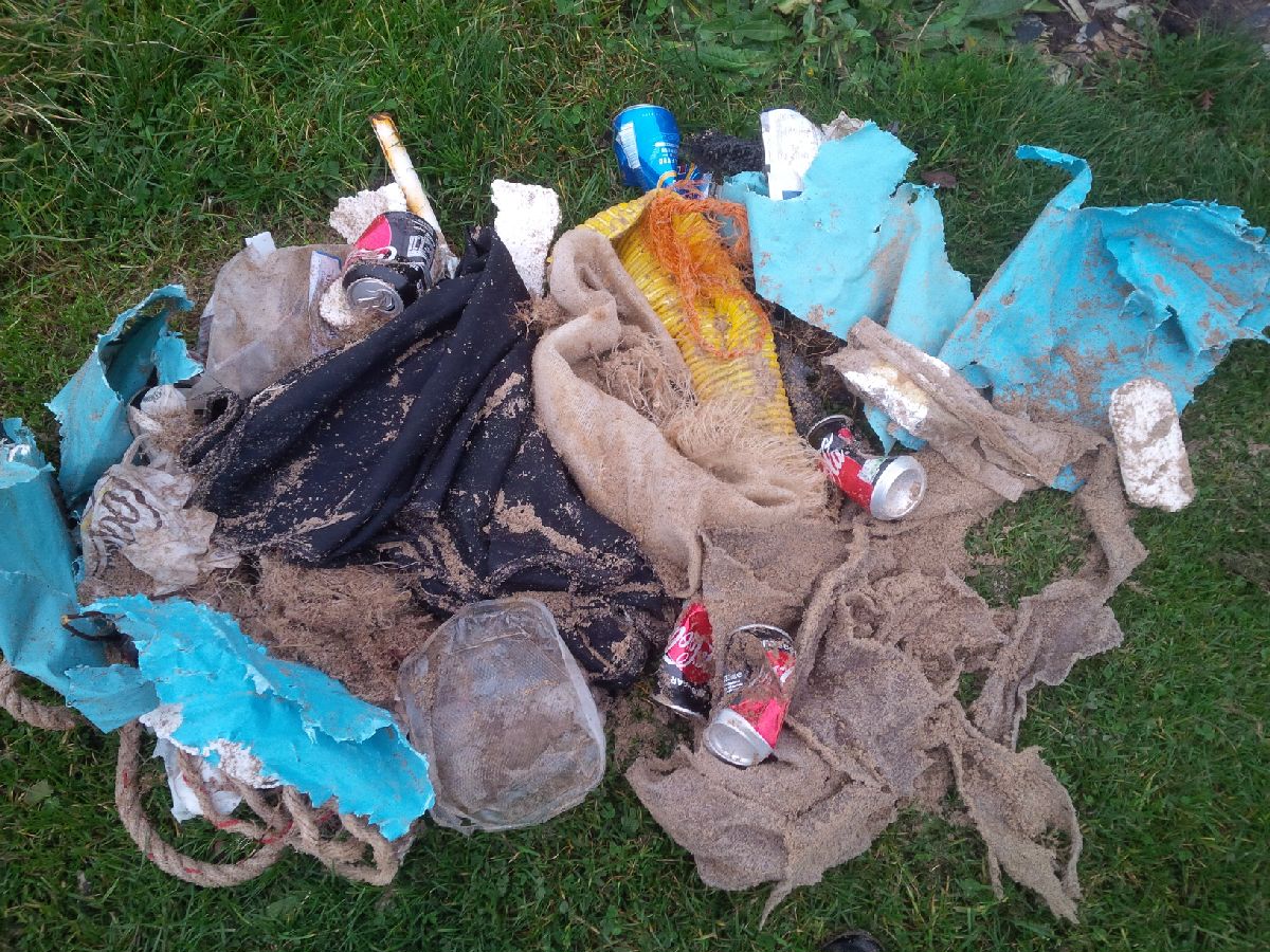
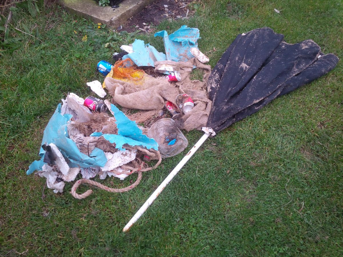
Fishing vessel storage cover
Fairly calm, slight cloud
1
Parasol Umbrella
Fishing vessel storage cover
GM DIving & First Aid Training
Gen MacCallum
1
2
1
2
1
15.00
25
9.00
1.00
3
estimated
1587.00
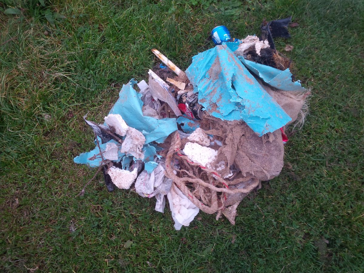
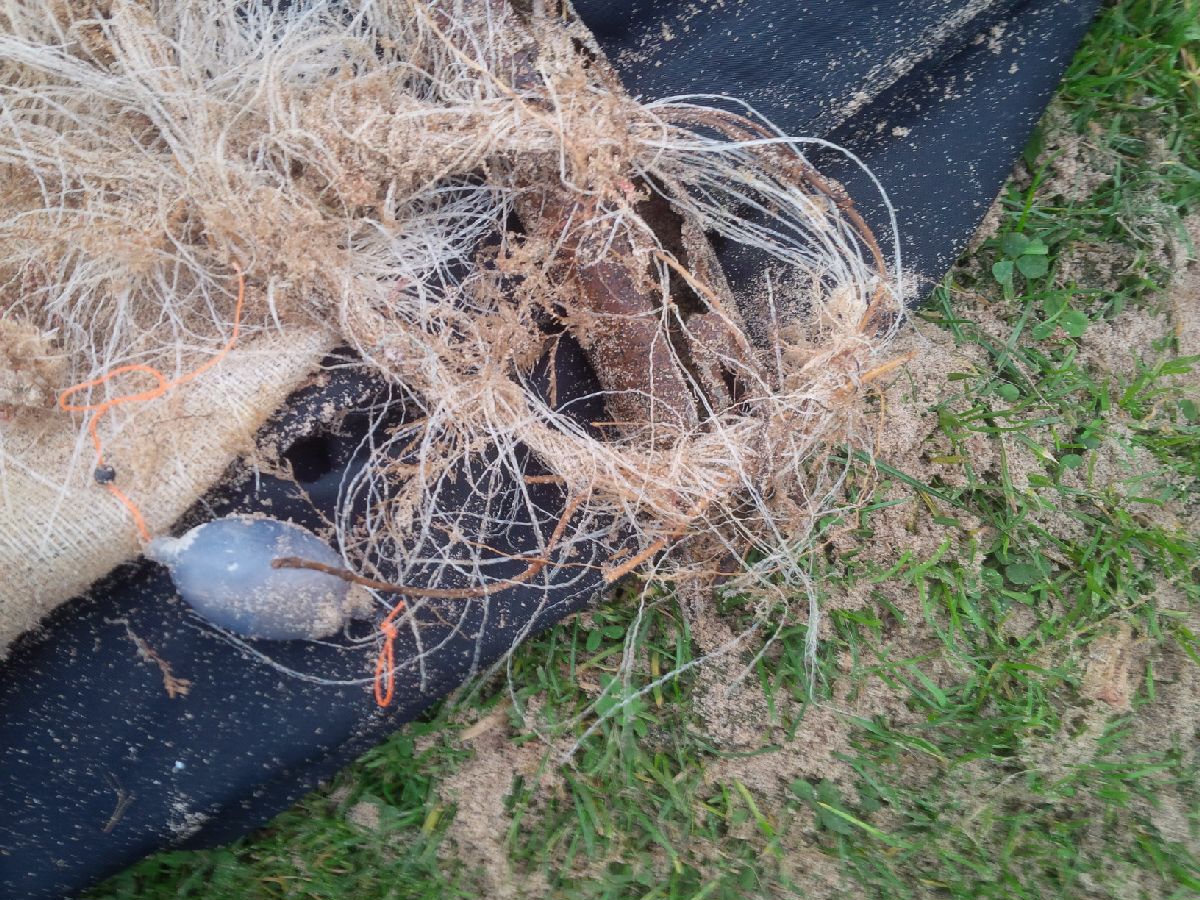
Fishing line
Drink cans
On
kilograms
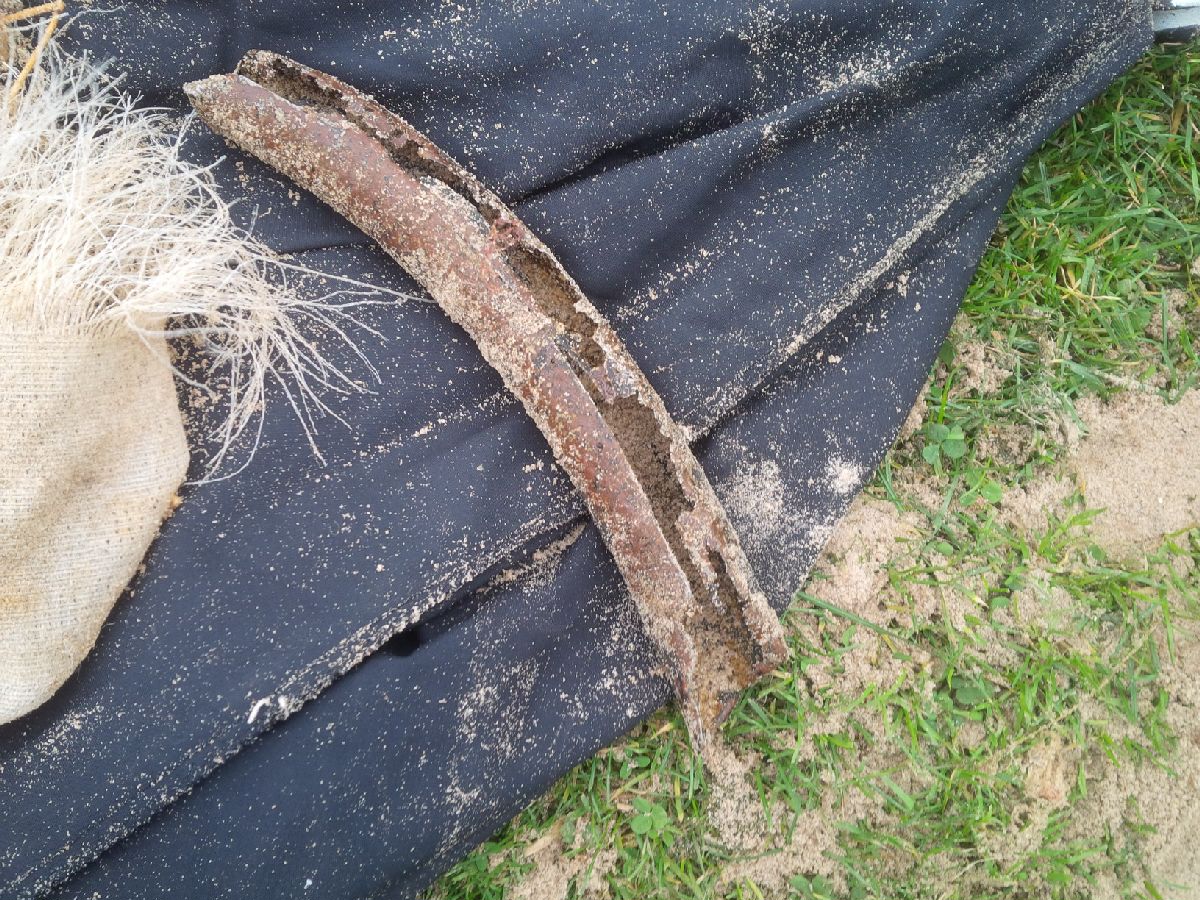
I have debris data to report
Moderate to rough for waves greater than 1.25 meters
m2
3
meters
other
1
1
3
5
State\Province
East Yorkshire
City
Easington
Map Help
Dive Location
If you know your survey site coordinates, enter them manually in decimal degrees using WGS84 Map Datum. Use the minus sign for latitudes south of the equator and longitudes west of the Prime Meridian to 180 degrees.
If you do not know your survey site coordinates, click the “Map Location” tab to use the map to zoom into your survey site and drop the pin on the map to fall within your survey dive site in the water (not on land or the beach). Ensure you zoom in as much as possible to ensure data accuracy.
Entangled Help
Use the vertical tabs below to record any entangled animals you found of each type.
Ecosystem Other
Mainly sand


