ADS282 - Banana Bay
4
1
1
sand
2
7.4979193682369, 98.324933052063
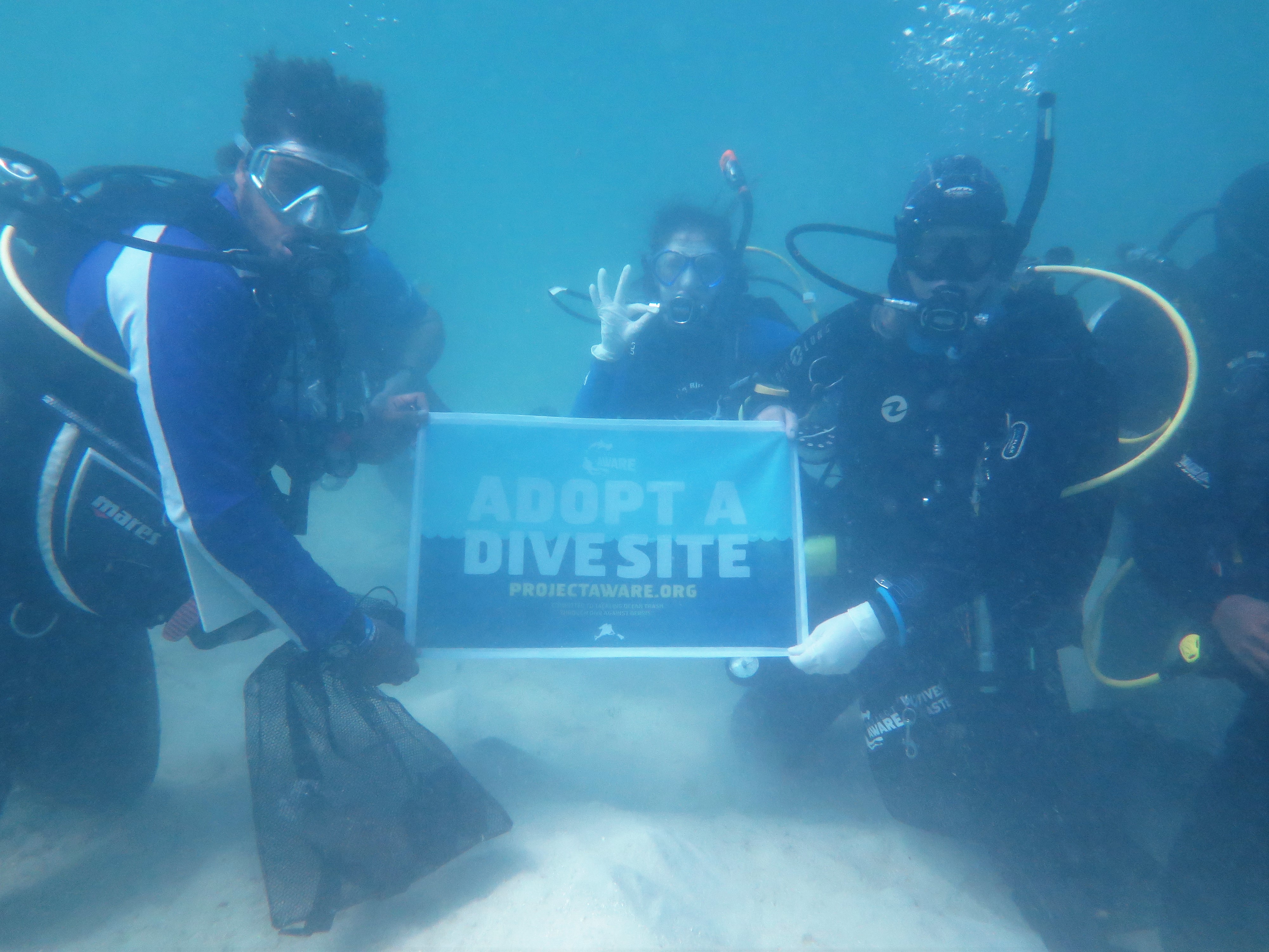
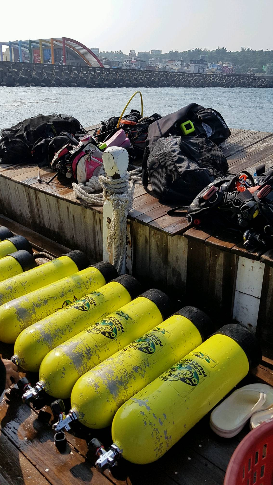
Boat tourism
Fishing
Fishing
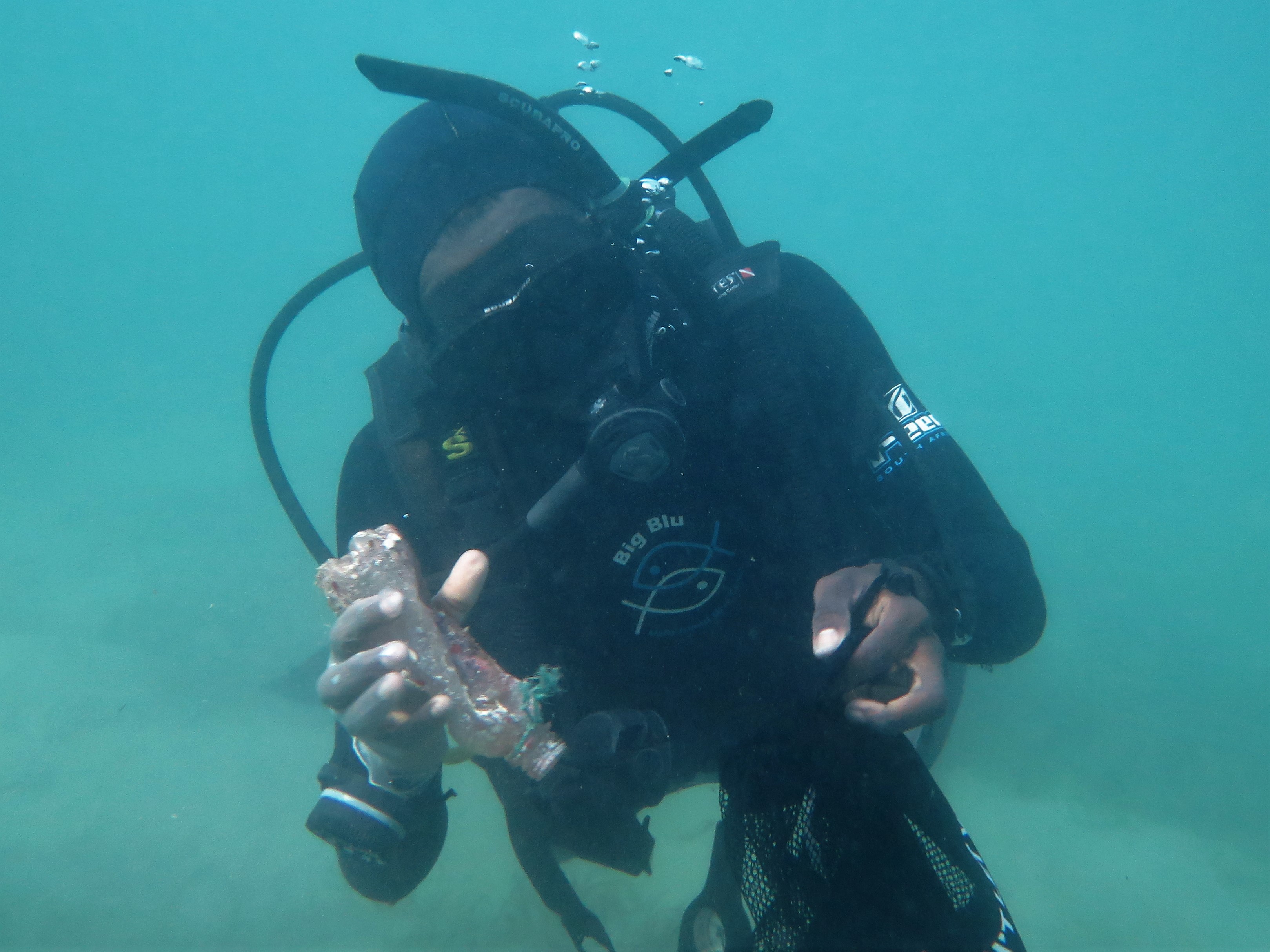
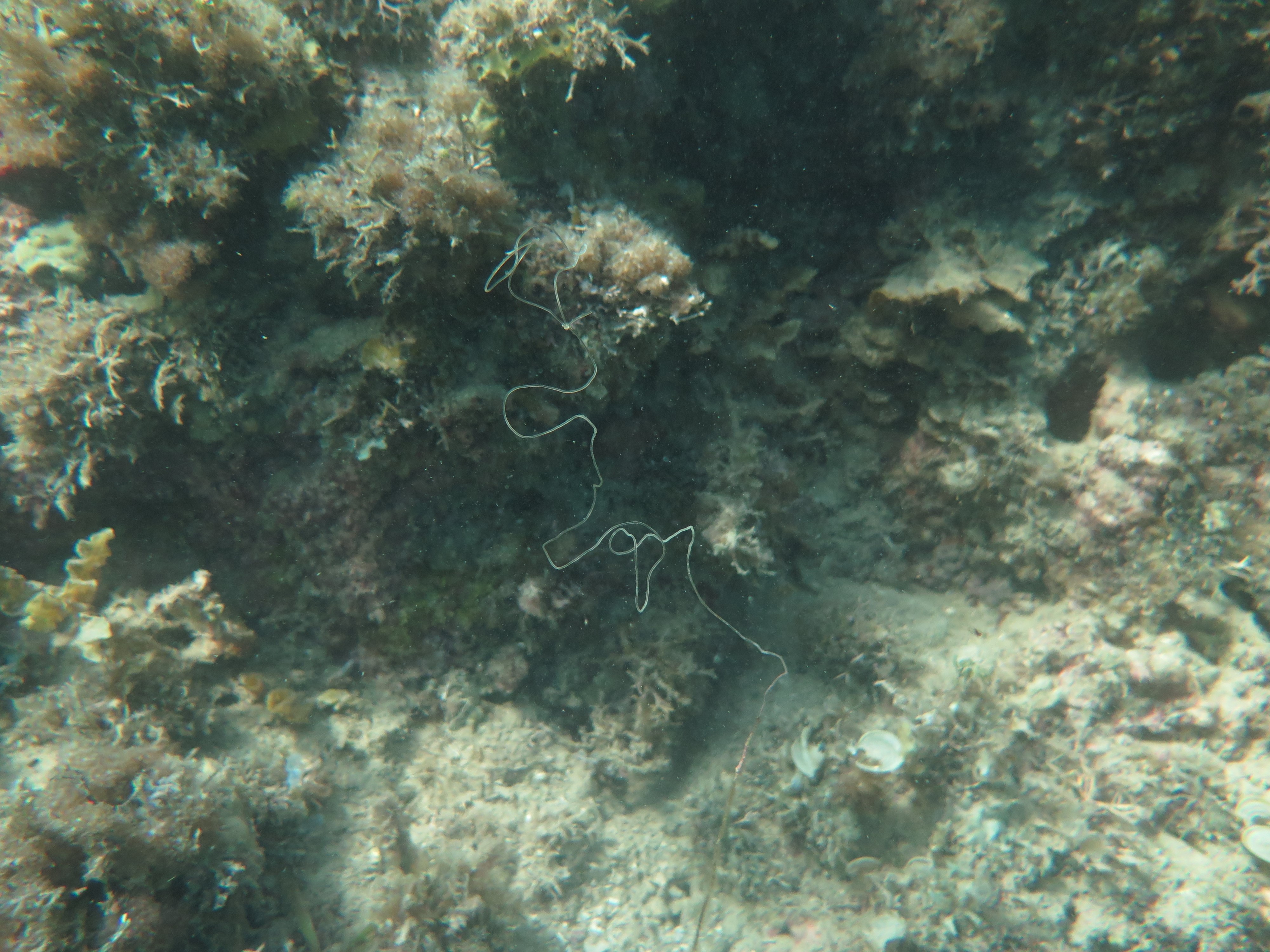
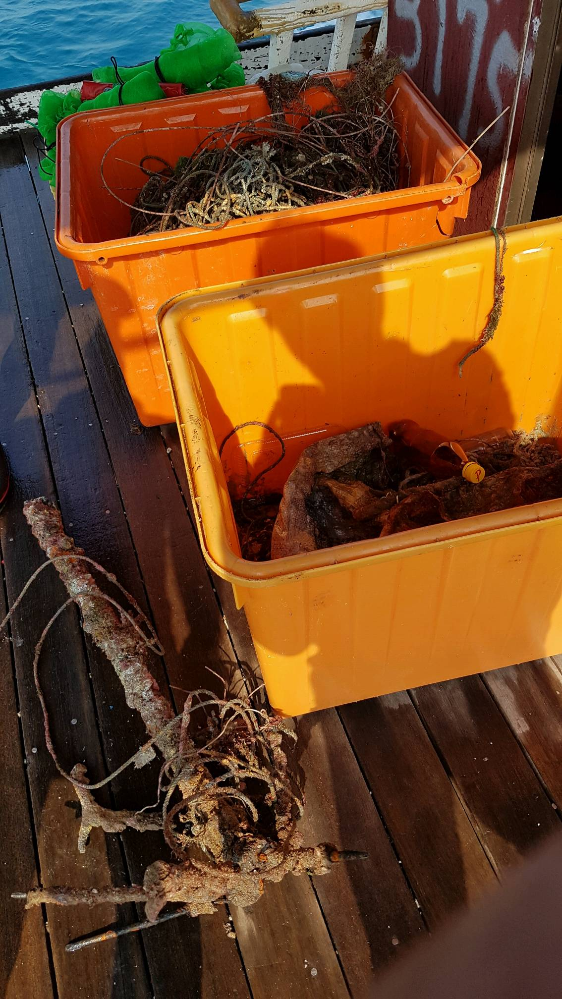
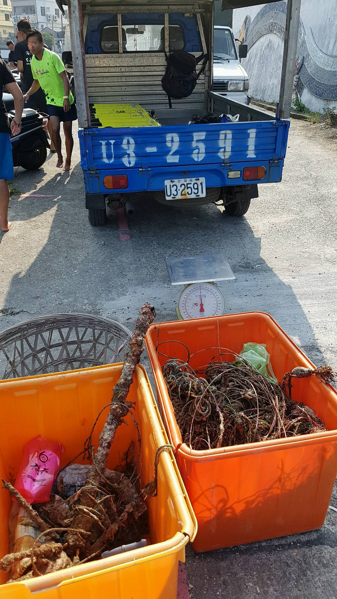
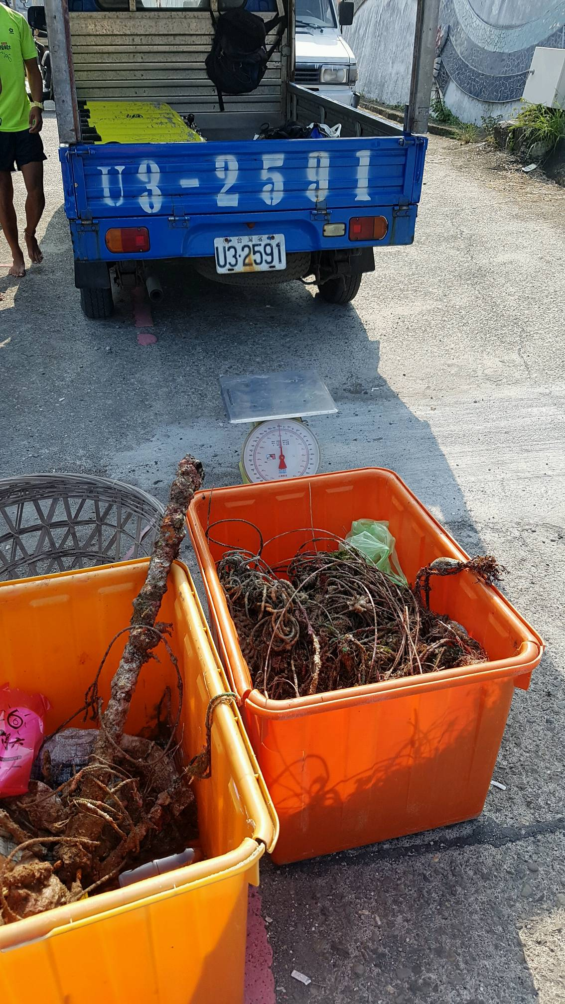
Big Electric wire
Windy, rainy
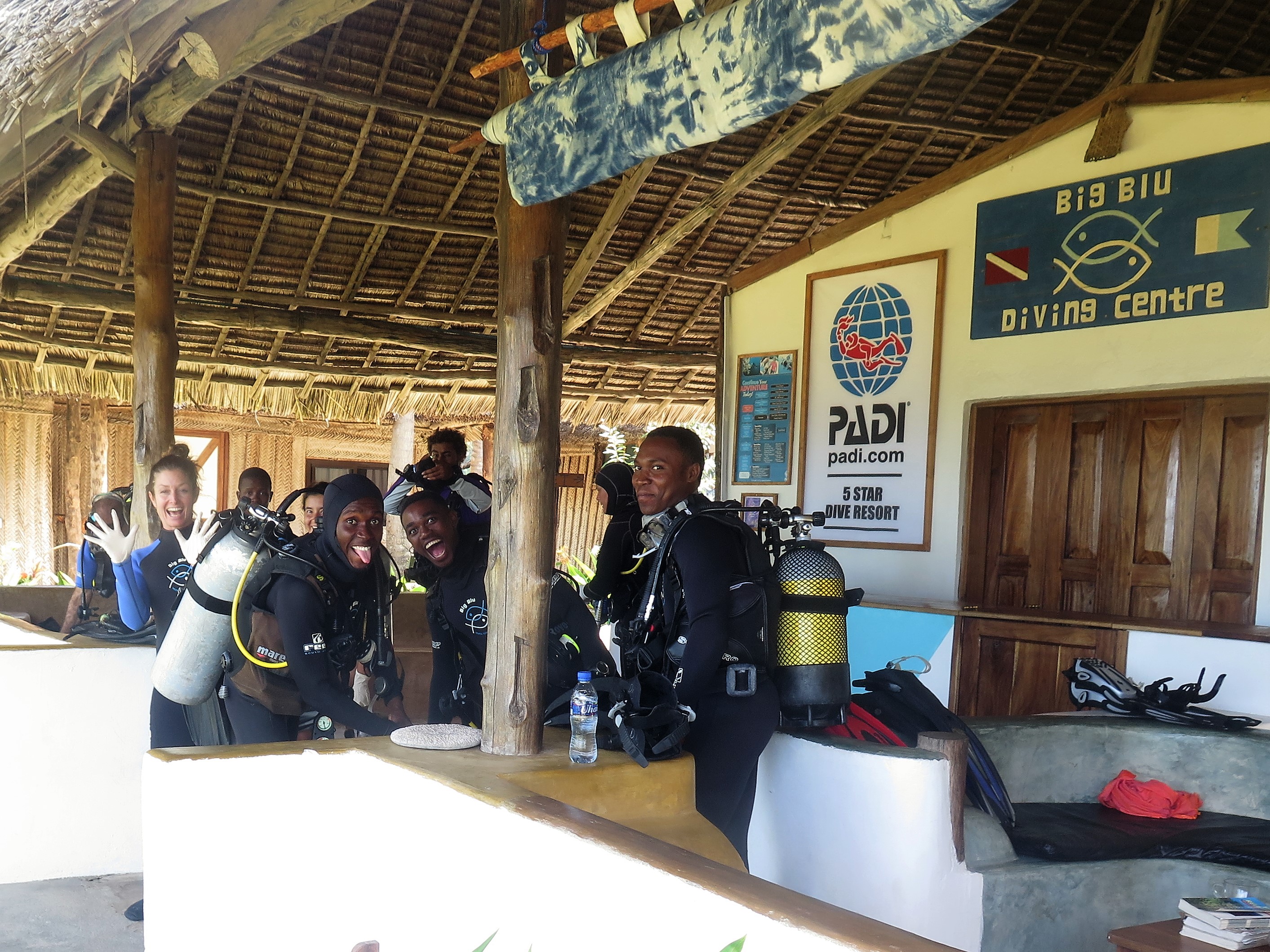
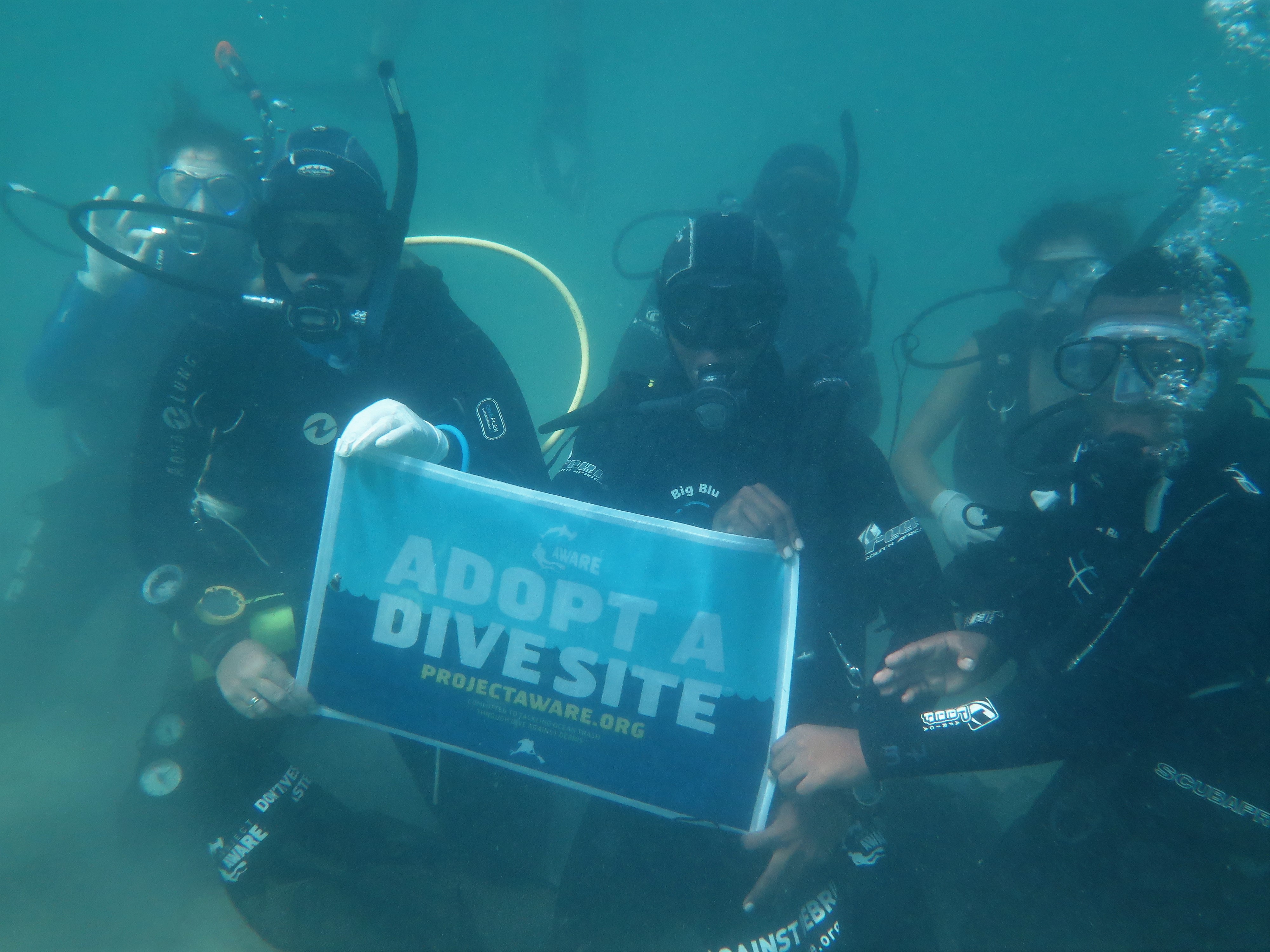
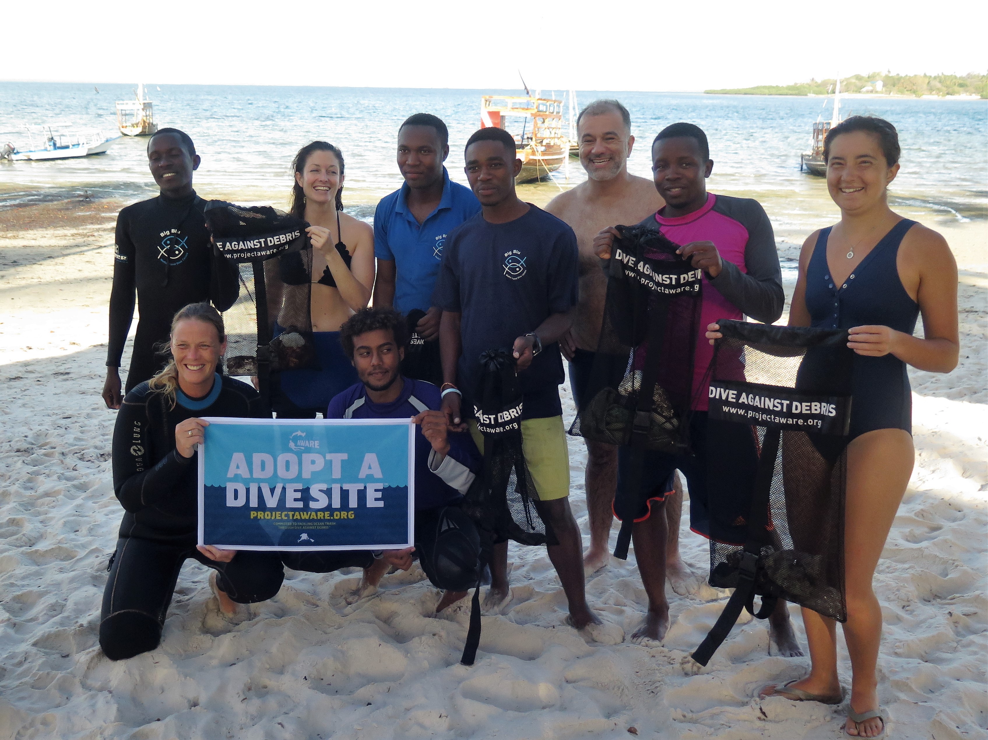
All4DIving
Nicolas Bergere
4
5
4.00
50
36.00
1.00
estimated
3000.00
Plastic Bottle
Fishing line
Food wrappers
On
kilograms
I have debris data to report
2
Calm (glassy to rippled) for waves 0 – 0.1 meter high
2
m2


meters
coral reef
2
1
State\Province
Phuket
City
Patong
Map Help
Dive Location
If you know your survey site coordinates, enter them manually in decimal degrees using WGS84 Map Datum. Use the minus sign for latitudes south of the equator and longitudes west of the Prime Meridian to 180 degrees.
If you do not know your survey site coordinates, click the “Map Location” tab to use the map to zoom into your survey site and drop the pin on the map to fall within your survey dive site in the water (not on land or the beach). Ensure you zoom in as much as possible to ensure data accuracy.
Entangled Help