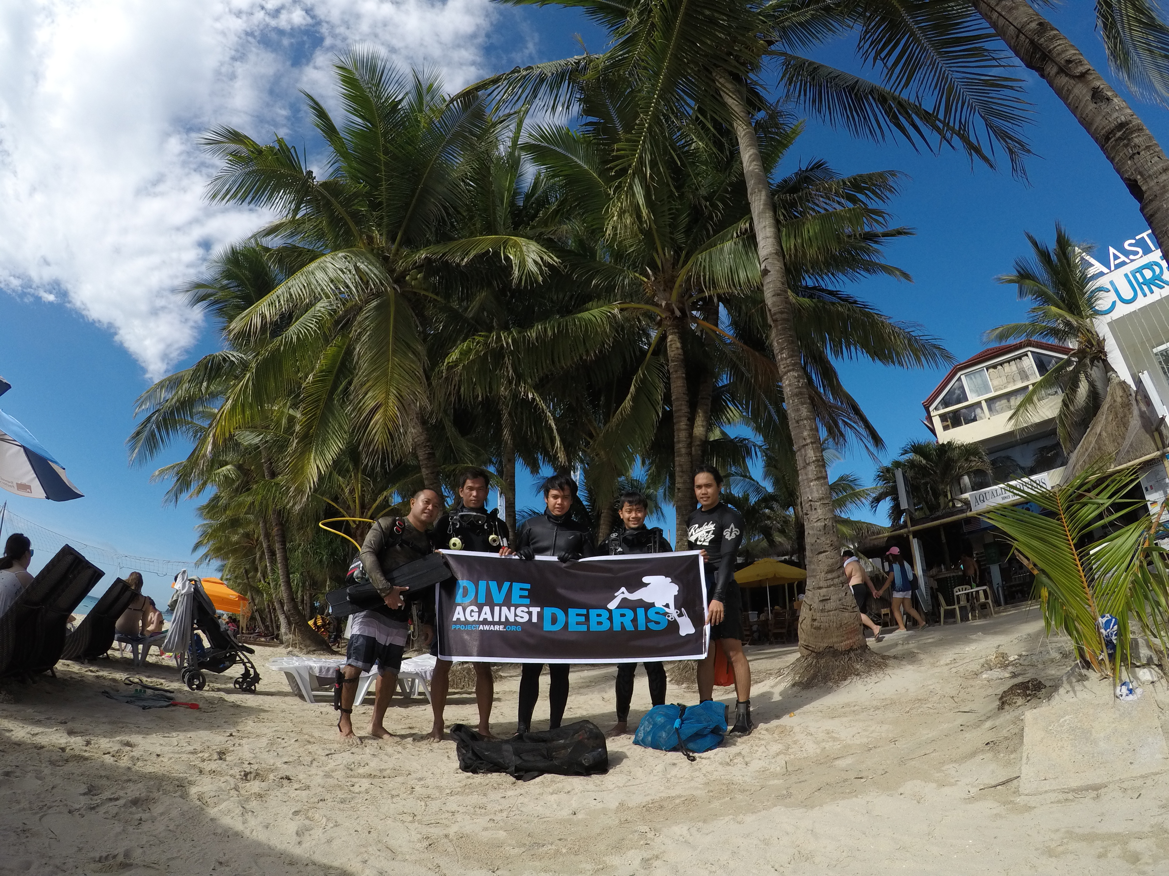
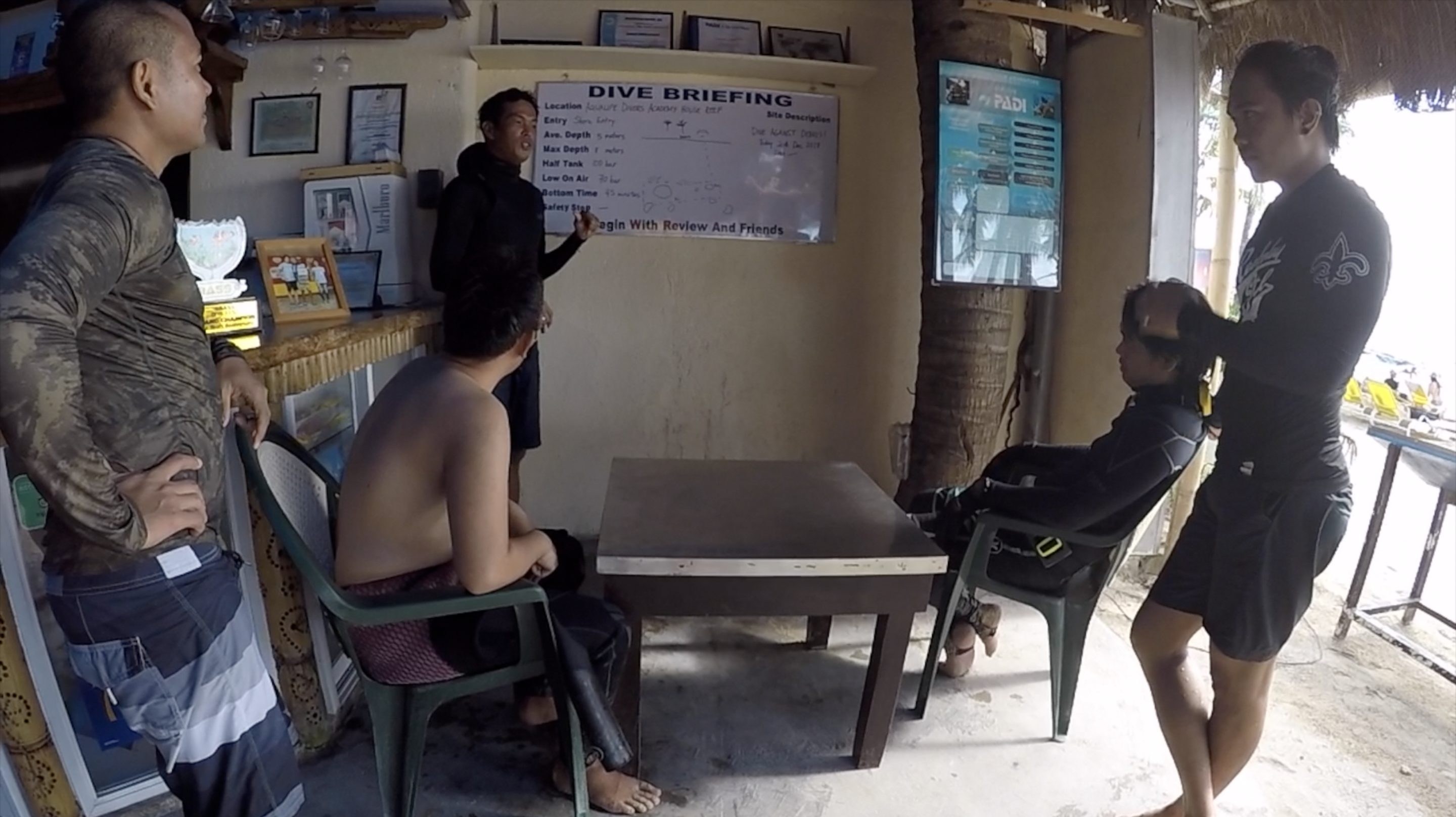
ADS386 - Aqualife Divers Academy House Reef
11.953261, 121.928317
5
My team have uploaded a video of this activity on YouTube https://youtu.be/IqSX04Dww3U
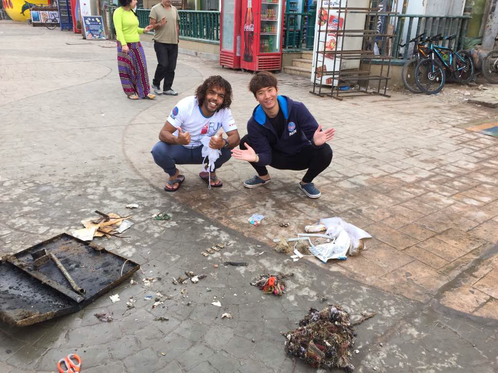
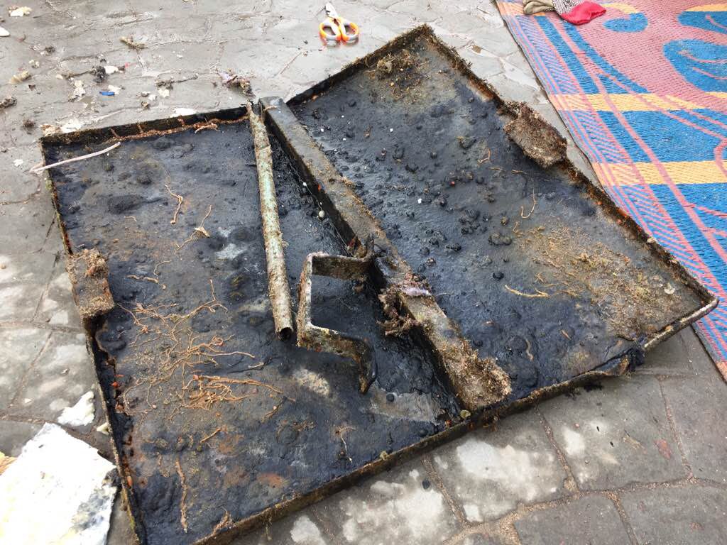
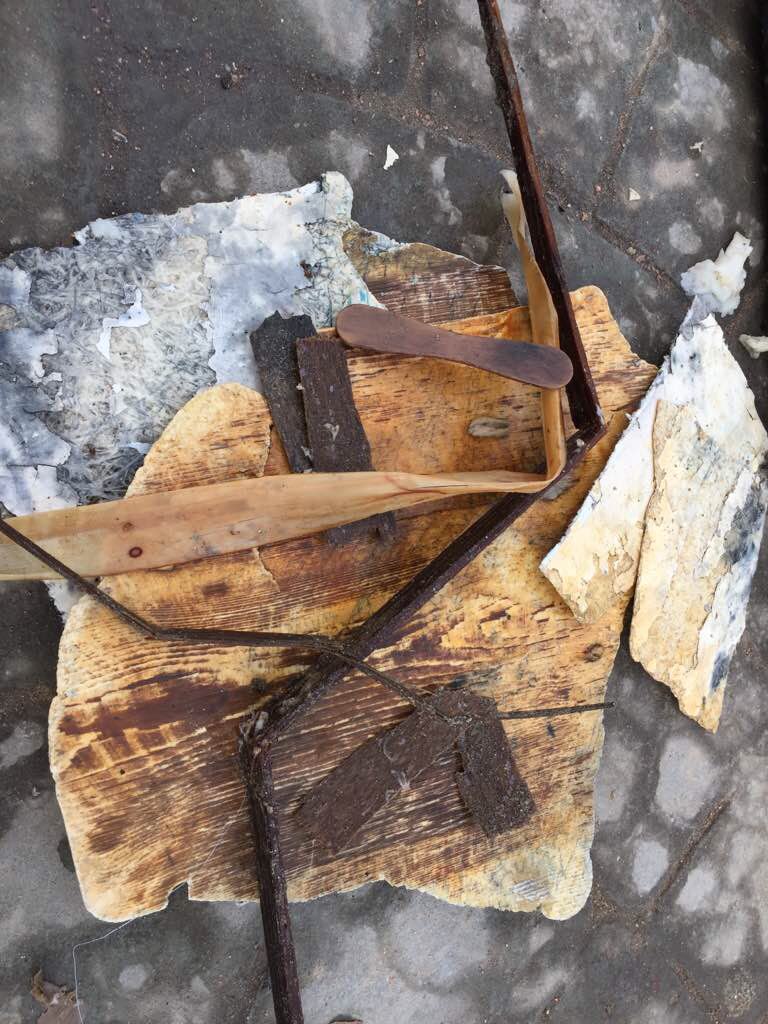
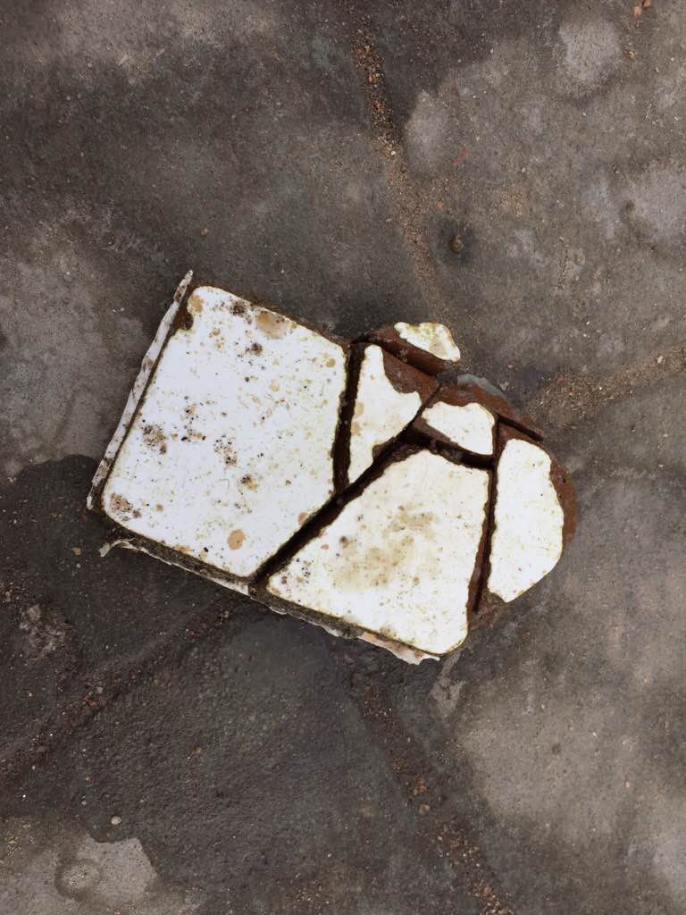
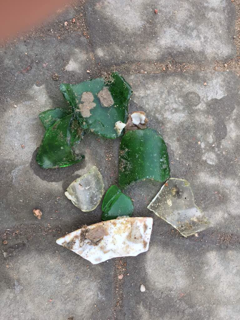
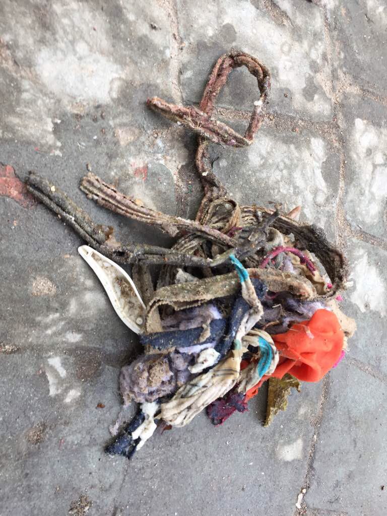
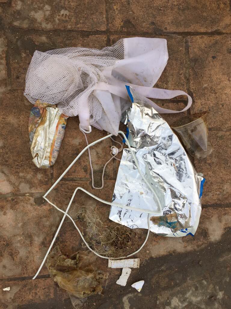
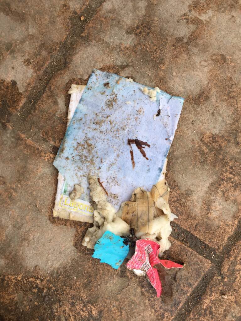
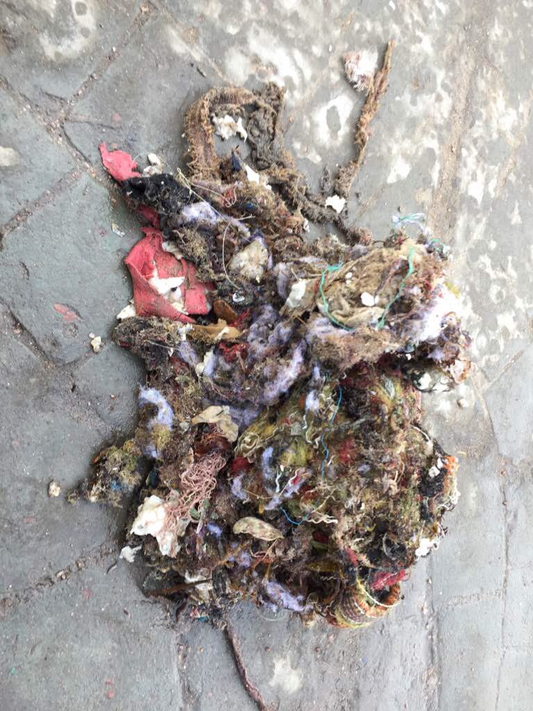
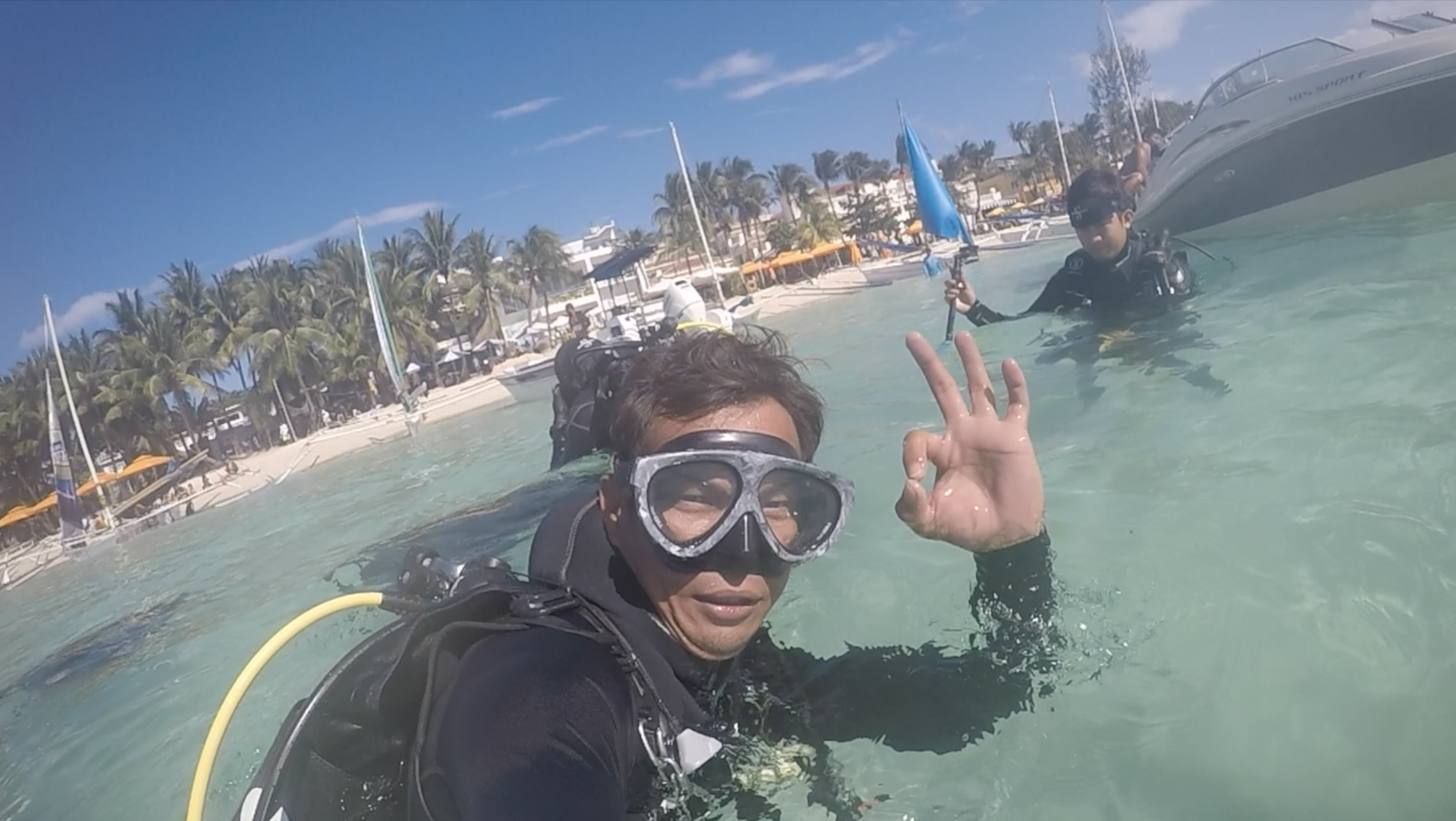
One of the strongest storms of the year, Typhoon Urduja, swept through Boracay Island just three days prior, causing massive flooding. Runoff brought a lot of debris from inland to the shallow waters around the island.
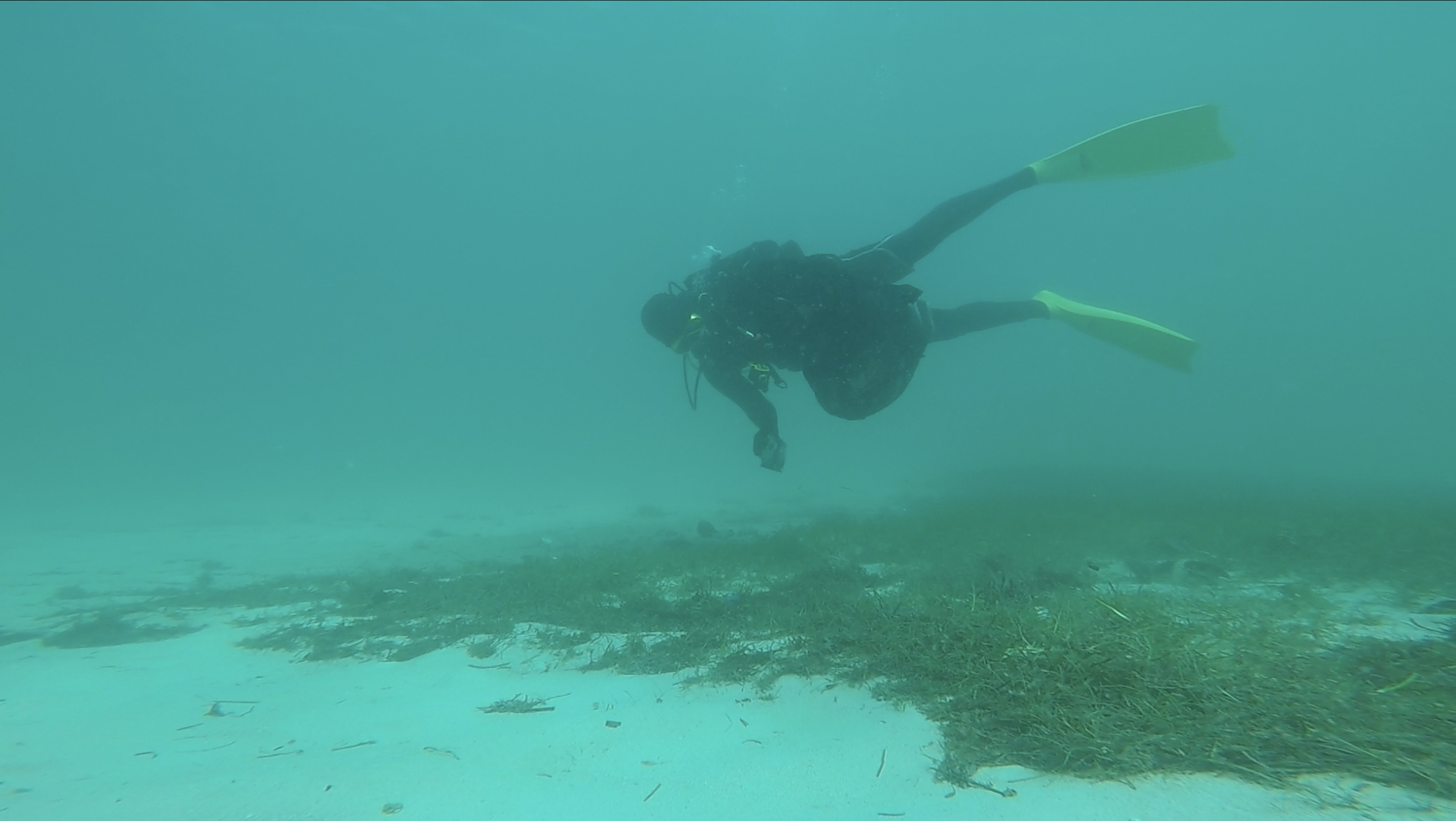
Nabaoy River on the mainland burst its banks and caused bad visibility at our dive sites due to suspended particles and silt. For this reason, we limited our survey to a small area.
Nabaoy River on the mainland burst its banks and caused bad visibility at our dive sites due to suspended particles and silt. For this reason, we limited our survey to a small area.
Three days before our survey, we experienced stormy weather with 25-knot winds and excessive rain.
1
Sneaker/trainer
Aqualife Divers Academy
Jon-Jon I. Suarez
6
1
4
48
21
2
5.00
40
8.00
2.00
estimated
200.00
2
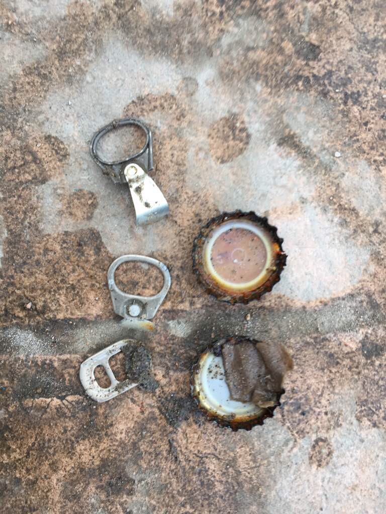
plastic bags
food wrappers
beer bottles
On
kilograms
I have debris data to report
18
Calm (glassy to rippled) for waves 0 – 0.1 meter high
m2
meters
other
1
4
2
6
14
State\Province
Aklan
City
Boracay Island, Malay
Map Help
Dive Location
If you know your survey site coordinates, enter them manually in decimal degrees using WGS84 Map Datum. Use the minus sign for latitudes south of the equator and longitudes west of the Prime Meridian to 180 degrees.
If you do not know your survey site coordinates, click the “Map Location” tab to use the map to zoom into your survey site and drop the pin on the map to fall within your survey dive site in the water (not on land or the beach). Ensure you zoom in as much as possible to ensure data accuracy.
Entangled Help
Use the vertical tabs below to record any entangled animals you found of each type.
Ecosystem Other
Sand with scattered rocks, corals and sea grass